The best gravel rides around Angolo Terme
4.2
(45)
365
riders
25
rides
Gravel biking around Angolo Terme offers access to varied terrain within the scenic Val Camonica, situated at the foot of Monte Vareno. The area features a mix of mountainous landscapes, valleys, and forests, providing diverse surfaces including asphalt, gravel, and dirt roads. Natural features like Lake Iseo, Lake Moro, and the Gleno Dam contribute to a landscape suitable for varied gravel cycling experiences. This region is characterized by its blend of natural beauty and historical elements, with routes often combining…
Last updated: October 21, 2026
4.0
(3)
28
riders
42.7km
03:08
840m
840m
Hard gravel ride. Very good fitness required. Mostly paved surfaces.
4.8
(8)
29
riders
25.8km
02:18
960m
960m
Hard gravel ride. Very good fitness required. You may need to push your bike for some segments of this route.

4.0
(1)
10
riders
48.8km
03:55
1,350m
1,350m
Hard gravel ride. Very good fitness required. Mostly paved surfaces.
3.8
(4)
19
riders
38.6km
02:24
330m
330m
Moderate gravel ride. Good fitness required. Mostly paved surfaces.
5.0
(1)
14
riders
67.5km
05:00
1,770m
1,770m
Hard gravel ride. Very good fitness required. Mostly paved surfaces.
Get access to more routes and recommendations from other explorers.
Already have an account?
Our route recommendations are based on thousands of hikes, rides, and runs completed by other people on komoot.
Start today with a free account
Your next adventure awaits.
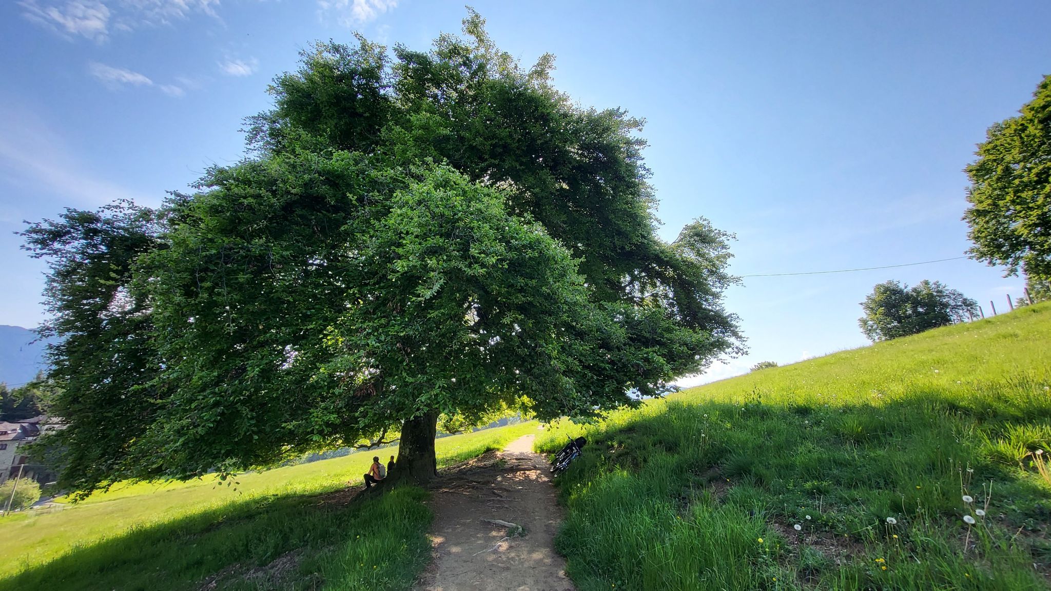
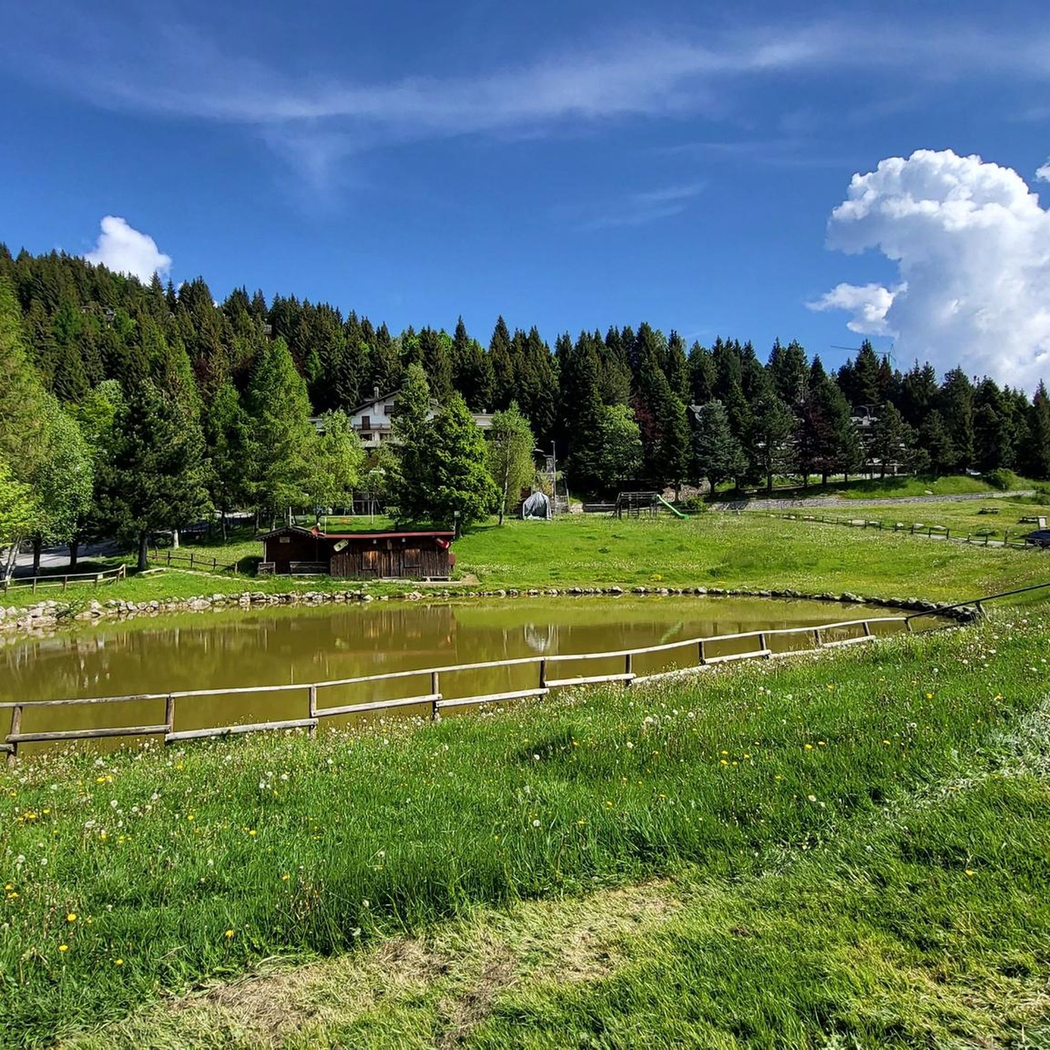
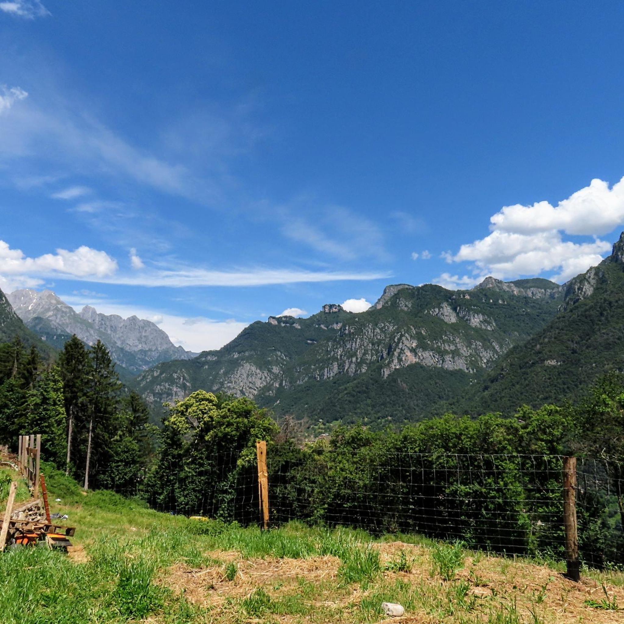

Other adventures around Angolo Terme

Tips from the Community

during one of my tours, I found myself in this pass, spectacular how at the end of summer everything is incredibly green
0
0
aerial view over the valley, I was impressed
0
0

Ascent that crosses several very well-equipped and beautiful villages to see.
0
0

The Ciclovia dell'Oglio is an excellent cycle touring route of 282 kilometers that entirely follows the course of the Oglio river, connecting the mountains of Lombardy to the Po Valley. Considered the "most beautiful cycle path in Italy" (title received at the Italian Green Road Award 2019), it has a total negative elevation difference of almost 1,862 meters, starting from 1,883 meters at the Passo del Tonale to reach 21 meters of the Po at San Matteo delle Chiaviche. The route is 80% asphalt and 20% compact dirt road and is ideal for gravel, trekking, or e-bikes.
0
0

By train to Edolo and then by bike up to Ponte di legno. The next day, departure in four stages to Mantua. Beautiful cycle path. Recommended
0
0

🏔️ Monte Altissimo — Identity and location Monte Altissimo is the highest peak of the short mountain range that separates Bassa Val Camonica and Valle di Scalve. It is known for two very different slopes: North slope (Borno): gentle, wooded, with ski slopes and mountain huts. South slope (Erbanno–Gorzone): steep, rocky, with significant elevation changes. This dual nature is also confirmed by the hiking itineraries documented online . 🚶♂️ The main documented itineraries Online sources show several routes, including: 1) From Croce di Salven – Path 6 (classic loop) Passes through Pozze di Val Sorda, Rifugio Lorenzini, Malga Guccione. A very popular loop itinerary, with a gentle and scenic ascent. Data confirmed by hikr.org (loop with ascent from Croce di Salven) . 2) From Borno – Via Mine e Segable A longer and scenic itinerary, with passages over woods, mountain huts, and ridges. Documented in detail on Wikiloc, with a complete description of path 112 → 151 → 155 . 3) From Erbanno – Path 155 Steep and challenging ascent, with sections on rocky outcrops. Direct connection to the final ridge of the Altissimo. 🏞️ Environment and notable points Sources confirm the places you have already visited: Pozze di Val Sorda: damp and bright clearings. Rifugio Colonnello Ferruccio Lorenzini: in the Pratolungo basin, at 1478 m. Malga Guccione: a passing point before the final ascent. Borno ski slopes: often used for descent on winter loops.
0
0
The Malga di Val Sorda is not a "classic" alpine pasture hut with grazing activities, but a hiking landmark located in the large meadow of Val Sorda, along the paths that lead from Croce di Salven towards Pratolungo, Malga Guccione, and finally Monte Altissimo. Online information describes it as part of the valley's pasture and pool system, crossed by CAI trails 186 and 187. 📍 Location The hut is located in the central pasture of Val Sorda, reached after about 1h10 of walking from Croce di Salven along trail 186. It is a junction point between: trail 186 (towards Pratolungo and Altissimo) trail 187 (steeper, climbs towards the Val Sorda refuge/structure)
0
0

I've done it twice in the same lap, first from Desso, then after climbing Monte Pora. They're completely different. From Desso, it's long and always in double digits, with significant peaks, so take it with a pinch of salt; the other is rideable. Seeing is believing. 🚴♀️
0
0
Frequently Asked Questions
How many gravel bike trails are available around Angolo Terme?
There are over 30 gravel bike trails in the Angolo Terme area, offering a diverse range of experiences for cyclists. These routes vary in difficulty, from moderate paths to more challenging ascents, ensuring options for different skill levels.
Are there easy gravel bike routes suitable for beginners in Angolo Terme?
Yes, Angolo Terme offers routes suitable for beginners. While many trails feature challenging climbs, there are 7 moderate routes and 1 easy route available. The region's varied terrain includes forest paths and unpaved roads that can be enjoyed by those new to gravel biking.
What kind of terrain can I expect on gravel bike trails near Angolo Terme?
The gravel bike trails around Angolo Terme feature a diverse mix of terrain. You'll encounter beech forests, unpaved roads, and trails with varying gradients. The area is known for its mixed surfaces, which are ideal for gravel biking, ranging from paths around Lake Moro to climbs towards the Gleno Dam.
What are some scenic highlights or landmarks I can see while gravel biking in Angolo Terme?
Gravel biking in Angolo Terme offers numerous scenic views and historical landmarks. You can explore the picturesque Valle Camonica, ride along the Dezzo stream, or discover the breathtaking Forra del Dezzo. Routes often provide panoramic views of the Presolana and expansive green pastures. Don't miss the opportunity to see the historic Presolana Pass or the unique ruins of the Gleno Dam.
Are there any circular gravel bike routes in the Angolo Terme area?
Yes, many of the gravel bike routes around Angolo Terme are designed as loops, allowing you to start and finish in the same location. For example, the Montecchio Roman Bridge – Montecchio Roman Bridge loop from Piancamuno - Gratacasolo is a popular moderate circular path, and the Monti di Cerveno – Prato Torio loop from Borno offers a challenging mountainous circuit.
What is the best time of year for gravel biking in Angolo Terme?
Angolo Terme benefits from a mild climate, making it suitable for gravel biking across several seasons. Spring and autumn generally offer pleasant temperatures and beautiful scenery. While specific seasonal advice isn't detailed, the region's diverse landscapes are enjoyable throughout much of the year, with summer being popular for outdoor activities and winter offering opportunities for snow sports on Monte Vareno.
Where can I find parking for gravel bike trails in Angolo Terme?
While specific parking locations for each trail are not detailed, Angolo Terme is a well-known destination, and you can typically find parking in or near the town center. For routes starting from specific villages, such as Castione della Presolana or Piancamuno, parking facilities are usually available in those areas, often near trailheads or local amenities.
Are there any family-friendly gravel trails in Angolo Terme?
The region offers a range of routes, and while some are challenging, the presence of moderate and easy trails suggests options for families. The unpaved roads around Lake Moro, for instance, are suitable for walking and could be explored by families on bikes, depending on their experience level. Always check the route difficulty before heading out with children.
What do other gravel bikers enjoy most about gravel biking in Angolo Terme?
The gravel biking experience in Angolo Terme is highly rated by the komoot community, with an average score of 4.8 stars from over 90 reviews. Cyclists often praise the varied terrain, the stunning views of Valle Camonica, and the mix of forest paths and unpaved roads that make for an engaging ride. The area's natural beauty and diverse routes are frequently highlighted.
Can I find bike-friendly accommodation or cafes in Angolo Terme?
Angolo Terme is a welcoming destination for visitors, known for its thermal baths and historical significance. While specific bike-friendly establishments are not listed, the town's tourism infrastructure suggests that you will find cafes and accommodation options. Many local businesses in outdoor-oriented regions are accustomed to catering to cyclists.
Are there any long-distance gravel routes or connections to other cycling paths?
Yes, the region offers longer routes that can be integrated into extended rides. For example, the Cividate-Breno Cycle Tunnel – By bike along the Oglio loop from Esine is a challenging 82.7 km route. Additionally, the nearby Pisogne, overlooking Lake Iseo, features a 'splendid panoramic cycle/pedestrian path (Vello-Toline route)' which could be incorporated into longer gravel adventures.
What kind of historical sites can I encounter on the gravel trails?
Beyond natural beauty, the Angolo Terme area is rich in history. You can encounter historical structures like the Montecchio Roman Bridge, which is featured in the Montecchio Roman Bridge – Montecchio Roman Bridge loop from Darfo-Corna. The Gleno Dam, with its unique construction history and dramatic collapse, is another significant historical site accessible by bike, offering a glimpse into the region's past.
Most popular routes around Angolo Terme
Most popular attractions around Angolo Terme

Get inspired with the komoot mobile app


Explore more
Browse the best Gravel rides in other regions.
