The best gravel rides around Ronciglione
4.4
(32)
400
riders
78
rides
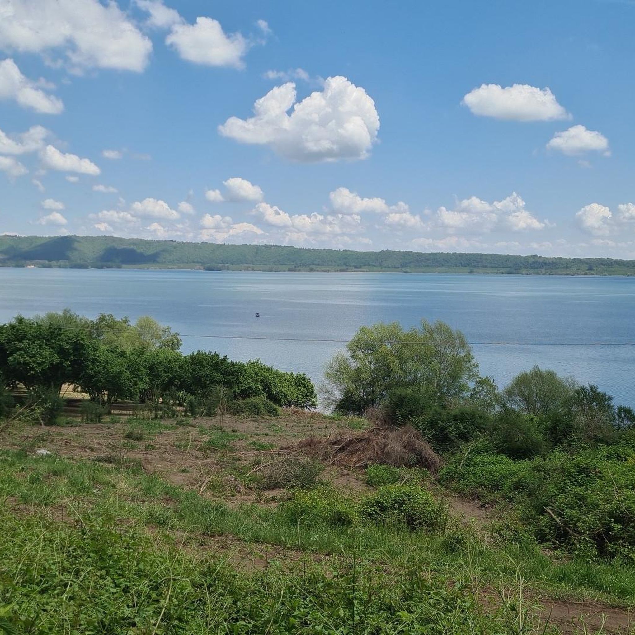
Gravel biking around Ronciglione features routes through a landscape characterized by volcanic hills, dense forests, and historic pathways. The region's terrain includes varied elevations, offering both challenging climbs and scenic descents suitable for gravel bikes. Riders can explore trails that wind through natural reserves and past ancient settlements.
Best gravel bike trails around Ronciglione
- The most popular gravel bike trail is Historic Center of Sutri – Historic Center of Sutri loop from Sutri, a 39.9 miles (64.2 km) trail…
Last updated: May 23, 2026
4.0
(2)
18
riders
64.1km
04:57
1,160m
1,160m
Hard gravel ride. Very good fitness required. Mostly paved surfaces. Suitable for all skill levels.
4.0
(1)
13
riders
41.6km
02:46
500m
500m
Hard gravel ride. Very good fitness required. Mostly paved surfaces. Suitable for all skill levels.

Sign up for free
5.0
(1)
7
riders
65.3km
04:44
1,020m
1,020m
Hard gravel ride. Very good fitness required. Mostly paved surfaces. Suitable for all skill levels.
5
riders
54.7km
04:13
730m
730m
Hard gravel ride. Very good fitness required. You may need to push your bike for some segments of this route.
16
riders
53.0km
03:28
590m
590m
Hard gravel ride. Very good fitness required. Mostly paved surfaces. Suitable for all skill levels.
Get access to more routes and recommendations from other explorers.
Sign up for free
Already have an account?
Our route recommendations are based on thousands of hikes, rides, and runs completed by other people on komoot.
Start today with a free account
Your next adventure awaits.
Login or Signup
Tips from the Community

A truly fun section of the Via Francigena to cycle: but watch out for pedestrians
0
0

Entrance via the middle road of Lake Vico.
0
0

The village of Sutri is located on the Via Cassia, it is worth a stop to visit the wonderful archaeological area and the rock necropolis
0
0

Beautiful cycle path on the Via Francigena towards Rome. The path continues across the Cassia under hazelnut groves.
0
0


...easy to ride...well...nature reserve - dirt road/dirt, potholed track, but rideable with a bike/luggage. The prohibition signs probably only apply to cars, etc. A police officer even opened the barrier for me at the end.
1
0

the part of the lake side of the ring is closed, the complete circular route has not been done
0
1

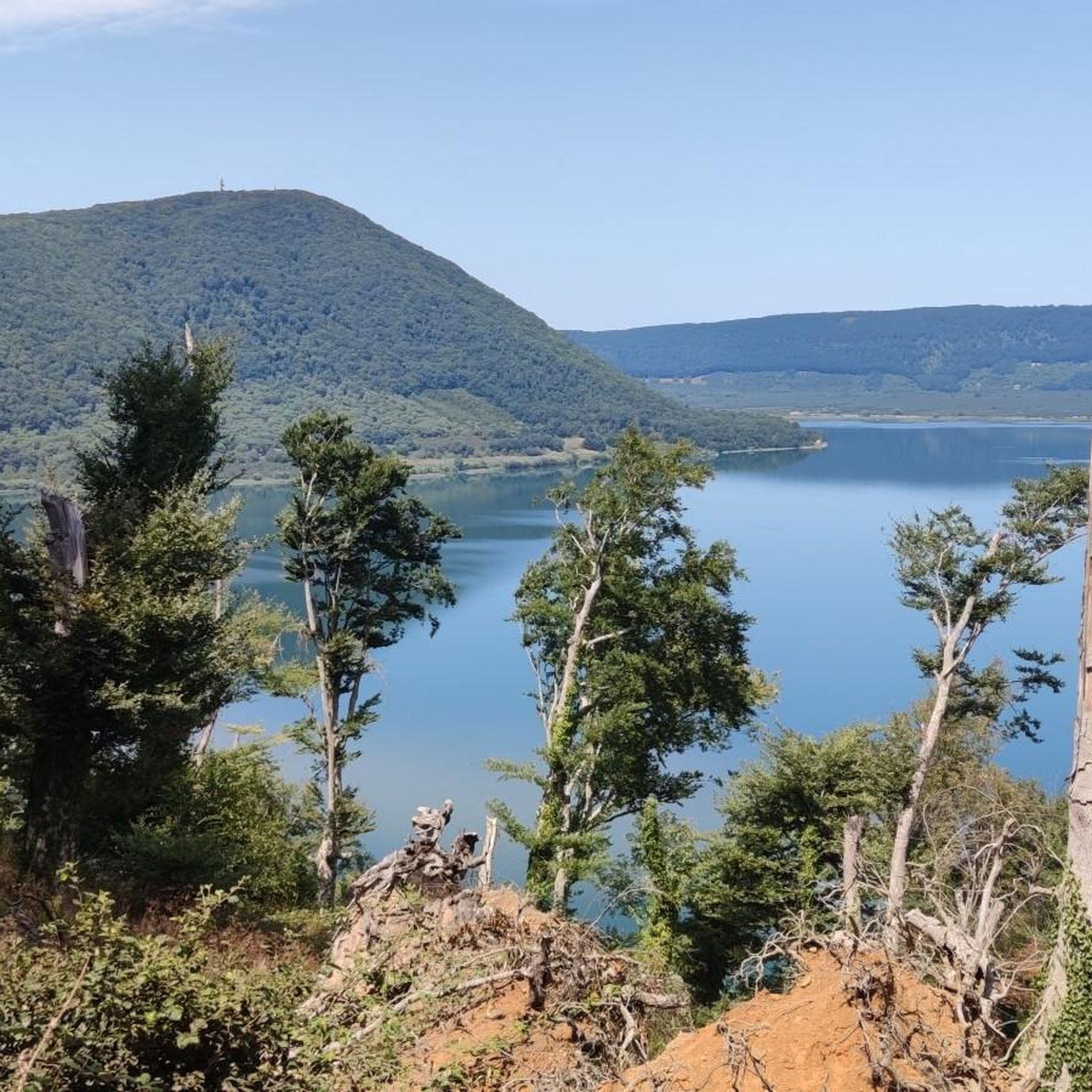
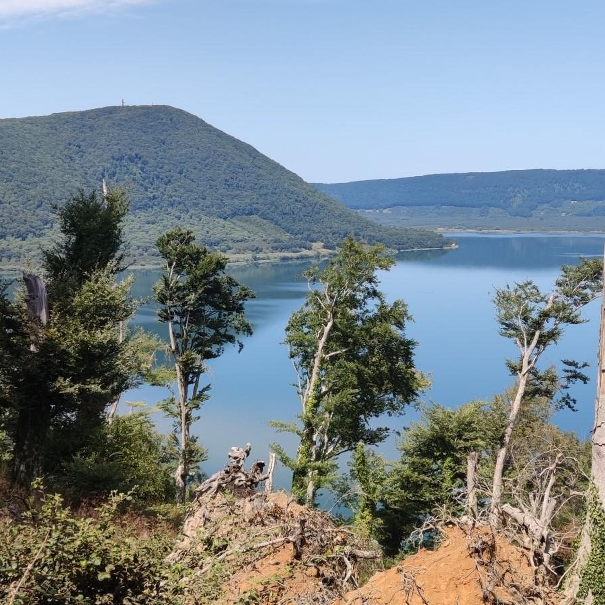
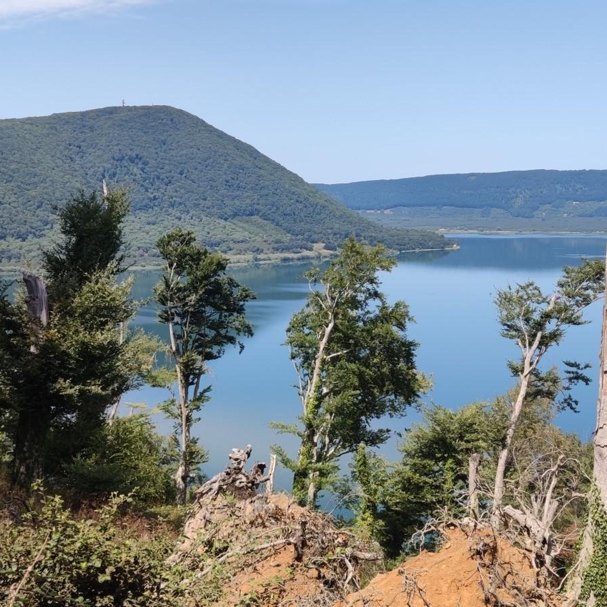
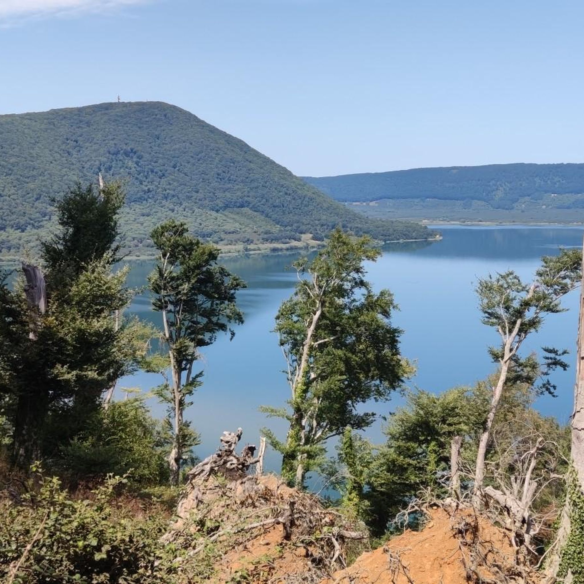
Beautiful climb with a view of Lake Vico
0
0
Frequently Asked Questions
How many gravel bike trails are available around Ronciglione?
There are over 70 gravel bike trails in the Ronciglione area, offering a wide range of options for exploring the region's volcanic hills, dense forests, and historic pathways.
Are there any easy gravel bike trails suitable for beginners in Ronciglione?
The gravel biking routes around Ronciglione are generally categorized as moderate to difficult. There are no routes specifically marked as 'easy' in our current selection, so beginners should be prepared for varied terrain and elevations.
What is the typical length and duration of gravel bike routes in Ronciglione?
Gravel bike routes in Ronciglione vary in length, with many popular options ranging from approximately 40 to 70 kilometers (25 to 43 miles). These longer routes can take anywhere from 4 to 6 hours to complete, depending on your pace and the specific trail's elevation changes. For example, the Historic Center of Sutri – Historic Center of Sutri loop from Sutri is about 64 km and takes around 4 hours 34 minutes.
What kind of attractions can I expect to see along the gravel bike trails near Ronciglione?
The region offers a mix of natural beauty and historical sites. You can discover stunning waterfalls like the Terza Mola (Third Mill) Waterfalls or the Corchiano Waterfall. Additionally, routes often pass by picturesque lakes such as Lake Vico, offering scenic viewpoints like the Viewpoint over Trevignano Romano.
Are there any loop trails for gravel biking around Ronciglione?
Yes, many of the gravel bike routes in Ronciglione are designed as loops, allowing you to start and finish at the same point. A popular example is the Cima Coppi of Monte Fogliano – Poggio di Mezzo Trail loop from Ronciglione, which explores the Monte Fogliano area.
What is the best time of year for gravel biking in Ronciglione?
The spring and autumn months generally offer the most pleasant conditions for gravel biking in Ronciglione, with milder temperatures and beautiful scenery. Summers can be hot, while winters might bring cooler, wetter weather, though some trails remain accessible.
What do other gravel bikers enjoy most about the trails in Ronciglione?
The komoot community rates the routes in Ronciglione highly, with an average score of 4.3 stars. Riders often praise the diverse terrain, the exploration of historic areas, and the scenic views offered by trails that follow sections of ancient paths like the Via Francigena.
Are there any challenging gravel bike routes for experienced riders?
Yes, Ronciglione offers numerous challenging routes for experienced gravel bikers. Many trails feature significant elevation gains and technical sections. The Via Francigena – Historic Center of Sutri loop from Ronciglione, for instance, is a difficult 65 km path with over 1000 meters of elevation gain.
Is public transport available to access gravel bike trails in Ronciglione?
While Ronciglione has some local bus services, direct public transport options to specific trailheads might be limited. It's often more convenient to drive to a starting point, especially for routes that begin outside the town center.
Where can I find parking for gravel biking in Ronciglione?
Parking is generally available in and around Ronciglione's town center, as well as in nearby villages like Sutri, which serve as common starting points for many routes. Look for designated parking areas or consult local maps for suitable spots near trail access points.
Are there any cafes or refreshment stops along the gravel bike routes?
While many routes venture into natural areas, you'll find cafes and restaurants in Ronciglione and the charming towns and villages that some trails pass through, such as Sutri. It's advisable to plan your route and carry sufficient water and snacks, especially on longer sections between towns.
Can I find routes that explore historical sites or ancient settlements?
Absolutely. The region is rich in history, and many gravel bike routes incorporate ancient pathways and historic areas. The Via Francigena – Historic Center of Sutri loop from Sutri is a great example, allowing you to cycle along sections of the historic Via Francigena and explore the ancient town of Sutri.
Most popular attractions around Ronciglione

Get inspired with the komoot mobile app


Explore more
Browse the best Gravel rides in other regions.
