The best gravel rides in Nationalpark Mols
4.7
(48)
425
riders
45
rides
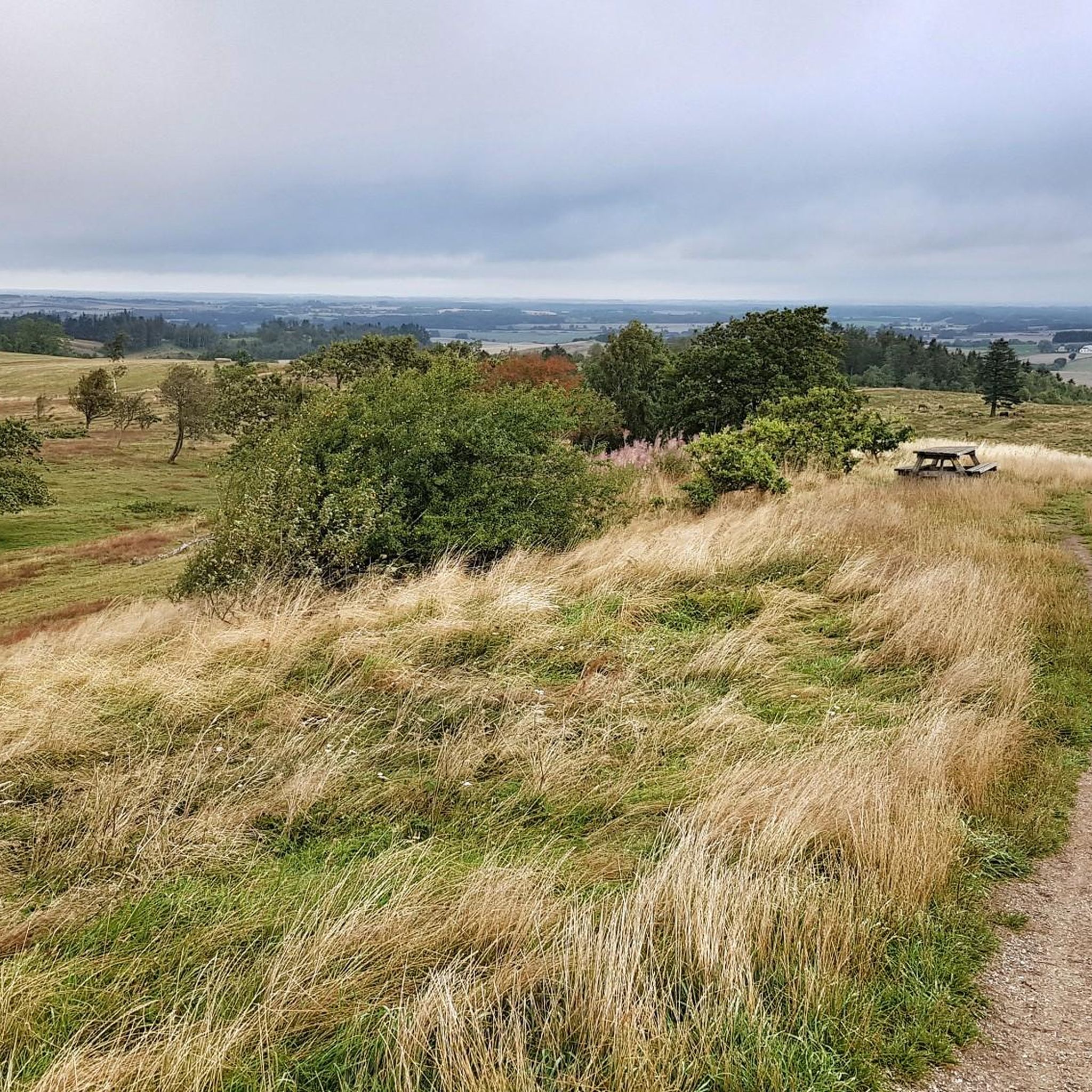
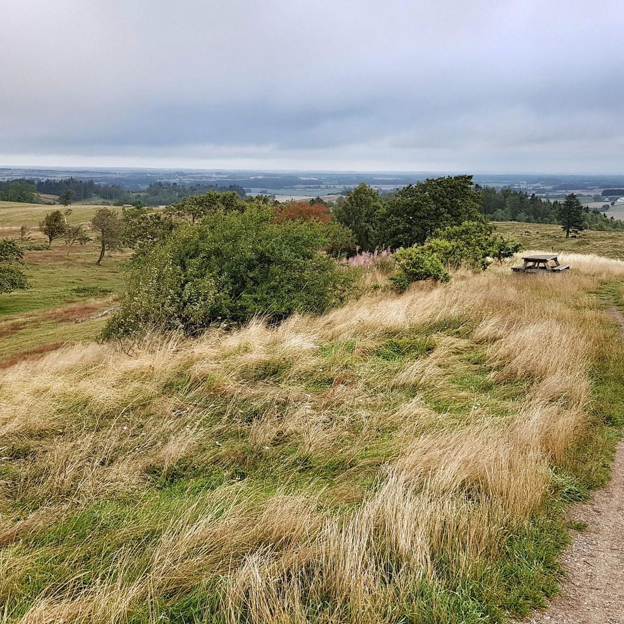
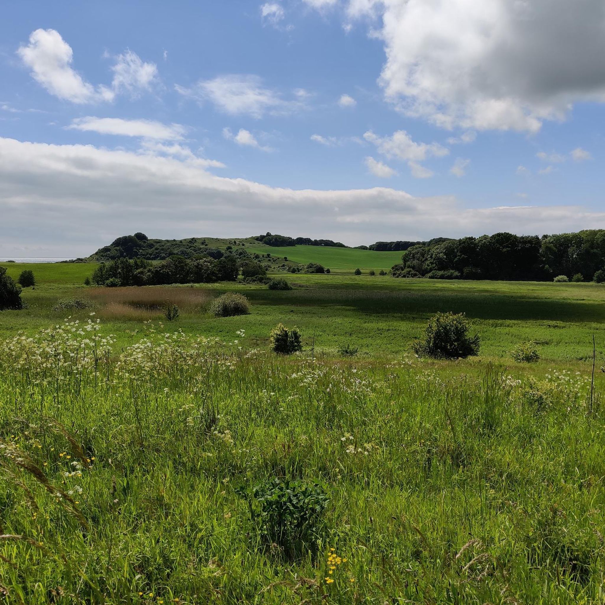
Gravel biking in Nationalpark Mols offers varied terrain across a landscape shaped by the last ice age. The region features rolling hills, coastal stretches, and areas of open heathland and woodlands. Elevations are generally moderate, with some routes including climbs up to around 500 feet. The trails often traverse a mix of gravel paths, forest roads, and some paved sections, providing diverse surfaces for gravel cyclists.
Best gravel bike trails in Nationalpark Mols
- The most popular gravel bike trail is Rundt i bjergene – Nationalpark Mols Bjerge, an 11.2 miles (18.0 km) trail that takes 1 hour 20 minutes to complete, featuring rolling hills and panoramic views of the Mols Bjerge landscape.
- Another top favourite among local gravel bikers is Gravlevbanen – Nationalpark Mols Bjerge, an easy 15.7 miles (25.3 km) path. This route follows a former railway line, offering a relatively flat and smooth gravel experience through varied scenery.
- Local gravel bikers also love the Mols Bjerge Trail - Kalø Stage, a 6.4 miles (10.4 km) trail leading through coastal areas and woodlands, often completed in about 57 minutes.
- Gravel biking in Nationalpark Mols is defined by its rolling hills, coastal paths, and diverse forest and heathland trails. The network offers options for various ability levels, from easy, flat sections to more challenging climbs.
- The routes in Nationalpark Mols are highly rated by the komoot community with an average score of 4.6 stars from over 40 reviews. More than 500 gravel bikers have used komoot to explore Nationalpark Mols's varied terrain.
Last updated: October 10, 2026
4.7
(3)
12
riders
18.0km
01:20
180m
180m
Moderate gravel ride. Good fitness required. Mostly paved surfaces. Suitable for all skill levels.
5.0
(1)
9
riders
25.3km
01:58
120m
120m
Easy gravel ride. Great for any fitness level. Mostly paved surfaces. Suitable for all skill levels.

1
riders
10.4km
00:57
100m
100m
Easy gravel ride. Great for any fitness level. Mostly paved surfaces. Suitable for all skill levels.
4.8
(9)
99
riders
Moderate gravel ride. Good fitness required. Mostly paved surfaces. Suitable for all skill levels.
5.0
(1)
15
riders
62.2km
03:28
590m
590m
Hard gravel ride. Very good fitness required. Mostly paved surfaces. Suitable for all skill levels.
Get access to more routes and recommendations from other explorers.
Already have an account?
Our route recommendations are based on thousands of hikes, rides, and runs completed by other people on komoot.
Start today with a free account
Your next adventure awaits.
Popular around Nationalpark Mols


Tips from the Community

Picturesque old church against the Baltic Sea backdrop with a well-kept cemetery. The parking lot is a good starting point for hikes.
0
0

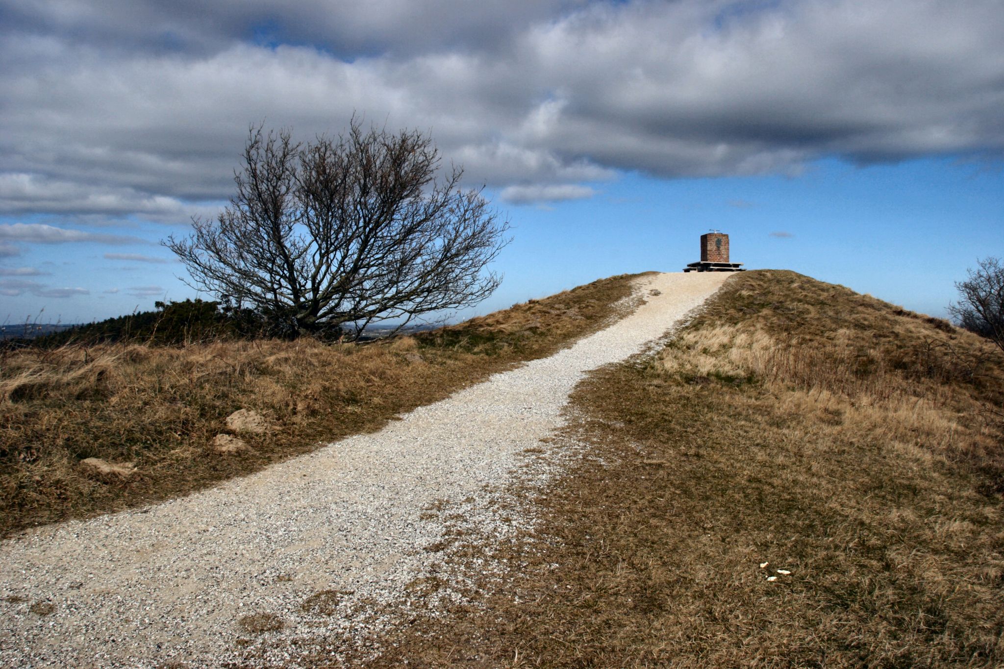
With a proud height of 137 meters, this historic burial mound forms one of the absolute highest points in the entire Mols Bjerge National Park. From the summit, hikers enjoy a breathtaking panorama that, in good weather, extends from the sparkling bay of Aarhus far beyond the hilly Danish Ice Age landscape.
0
0
This varied section of the route takes outdoor fans directly over the modern wooden boardwalks of the maritime marina in Mols Bjerge National Park. When crossing, you enjoy a fantastic view of the bobbing boats, the glittering water, and the adjacent coastal landscape of the Danish Baltic Sea.
0
0
As the largest lake on the Djursland peninsula, this idyllic body of water lies peacefully nestled in the forests and meadows of Mols Bjerge National Park. Nature lovers particularly appreciate this clear ice-pushed lake as an untouched bird paradise, which can be wonderfully observed from a hidden observation tower.
1
0
The whitewashed, historic 15th-century church sits idyllically on a hill near the Kalø Castle ruins, offering a wide view of the Danish coastal landscape. Surrounded by old trees and located directly by the national park, this historically significant sacred building forms a wonderfully peaceful resting place on any discovery tour.
1
0
This idyllic route follows the tracks of a disused railway line and leads active holidaymakers without gradients across the varied landscape of the national park. On the car-free gravel path, you pass through dense forests, wide fields, and hidden natural jewels, making the route a perfect path for relaxed cycling and hiking.
1
0
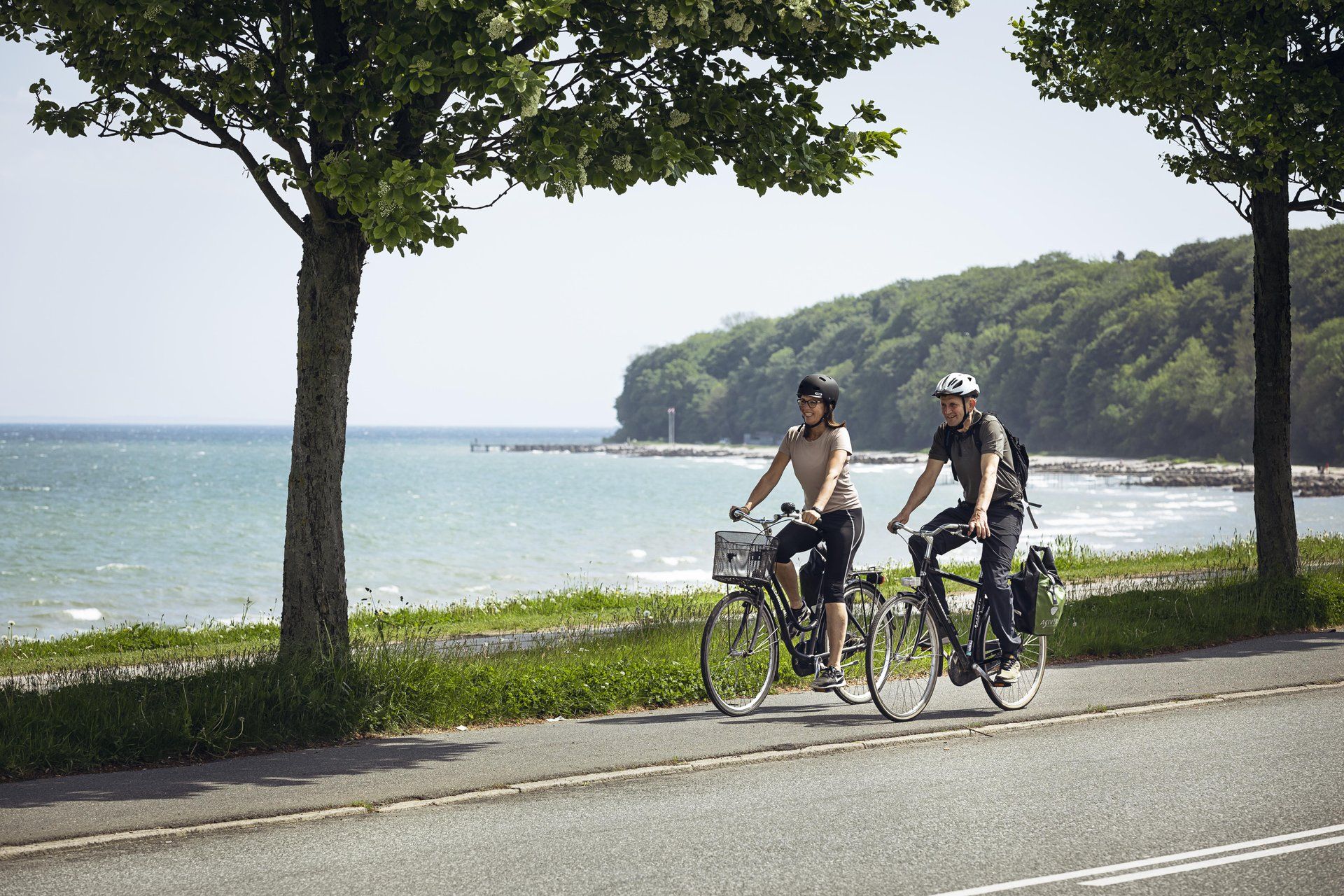
This dreamlike path winds directly along the water's edge, offering hikers and cyclists pristine views of the vast Baltic Sea. Accompanied by the gentle sound of the waves, the trail leads past wide sandy beaches and flat dune landscapes, which invite you to take a deep breath and linger.
1
0

Bregnet Kirke is beautifully located overlooking Egens Vig. Some carved stones on the pedestal are likely the remains of a former Romanesque church. The inventory dates from a restoration in 1872, during which everything original was discarded except for the Romanesque baptismal font with a lion motif. Often, Romanesque stone churches replaced an older wooden church. This was of course also the case in Bregnet. Perhaps the first church was built as a pilgrimage church in connection with the holy "Tobias spring" in Ringelmoseskoven, east of the church. https://www.visitaarhus.de/region-aarhus/reiseplanung/bregnet-kirche-gdk606023
2
0
Frequently Asked Questions
How many gravel bike trails are available in Nationalpark Mols?
Nationalpark Mols offers a wide selection of gravel biking opportunities, with over 60 routes available on komoot. These range from easy, flat paths to more challenging rides with significant elevation changes.
What kind of terrain can I expect when gravel biking in Nationalpark Mols?
The terrain in Nationalpark Mols is quite varied, shaped by the last ice age. You'll encounter rolling hills, scenic coastal stretches, and areas of open heathland and woodlands. Trails often mix gravel paths, forest roads, and some paved sections, providing a diverse riding experience.
Are there easy gravel bike routes suitable for beginners or families?
Yes, there are several easy routes perfect for beginners or families. For instance, the Gravlevbanen – Nationalpark Mols Bjerge is an easy 15.7-mile (25.3 km) path that follows a former railway line, offering a relatively flat and smooth gravel experience through varied scenery.
Are there more challenging gravel bike routes with significant climbs?
For those seeking a challenge, routes like the View of Begtrup Bay – Sletterhage Lighthouse loop from Femmøller offer more substantial climbs, with over 500 meters of elevation gain over its 66 km distance. This route provides a demanding ride with rewarding views.
Are there circular gravel bike routes in Nationalpark Mols?
Many of the gravel bike routes in Nationalpark Mols are designed as circular tours, allowing you to start and end at the same point. An example is Rundt i bjergene – Nationalpark Mols Bjerge, which offers a loop through the rolling hills and panoramic views of the Mols Bjerge landscape.
What is the best season for gravel biking in Nationalpark Mols?
Gravel biking in Nationalpark Mols is enjoyable throughout much of the year. Spring and autumn offer pleasant temperatures and beautiful scenery, while summer provides longer daylight hours. Even winter can be an option, though some trails might be muddy or icy, so checking local conditions is advisable.
Where can I park my car when gravel biking in Nationalpark Mols?
Parking is generally available at various trailheads and popular starting points throughout Nationalpark Mols. Specific parking information can often be found on individual route descriptions on komoot, or near major attractions and towns like Ebeltoft or Femmøller.
What interesting sights or landmarks can I see along the gravel bike routes?
Nationalpark Mols is rich in natural and historical sights. Along your rides, you might encounter landmarks such as the historic Kalø Castle Ruins, the unique Tinghulen Kettle Hole, or the charming Ebeltoft Old Town. Many routes pass by these points of interest.
Are there any shelters or places to rest along the routes?
Yes, the Nationalpark Mols area provides several shelters and rest stops. You can find places like the Stubbe Sø Shelter Site or the Bjergetapen Trailhead and Shelters, which are ideal for a break or even an overnight stay. These are often marked on komoot maps.
What do other gravel bikers say about the trails in Nationalpark Mols?
The gravel biking experience in Nationalpark Mols is highly rated by the komoot community, with an average score of 4.6 stars from over 40 reviews. Riders often praise the diverse scenery, the mix of challenging and easy sections, and the well-maintained gravel paths that make for an enjoyable ride.
Are there cafes or places to get refreshments near the gravel bike trails?
Yes, especially in and around the towns and villages within or bordering Nationalpark Mols, such as Ebeltoft or Femmøller, you'll find cafes and eateries. It's a good idea to plan your route to pass through these areas if you're looking for a refreshment stop.
Most popular routes in Nationalpark Mols
Most popular attractions in Nationalpark Mols

Get inspired with the komoot mobile app


Explore more
Browse the best Gravel rides in other regions.
