The best gravel rides around Río Guadalquivir -Tramo Medio
4.7
(47)
703
riders
86
rides
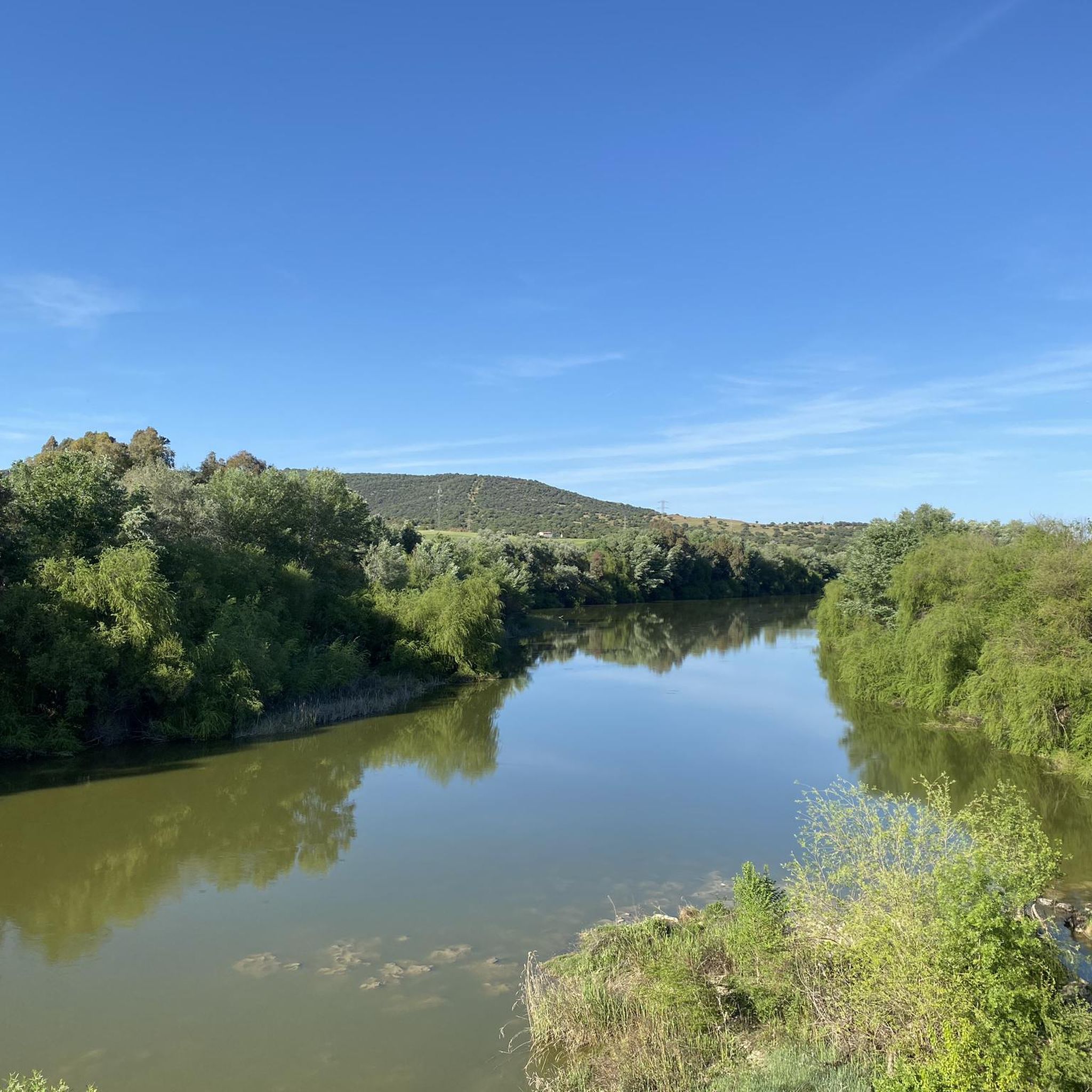
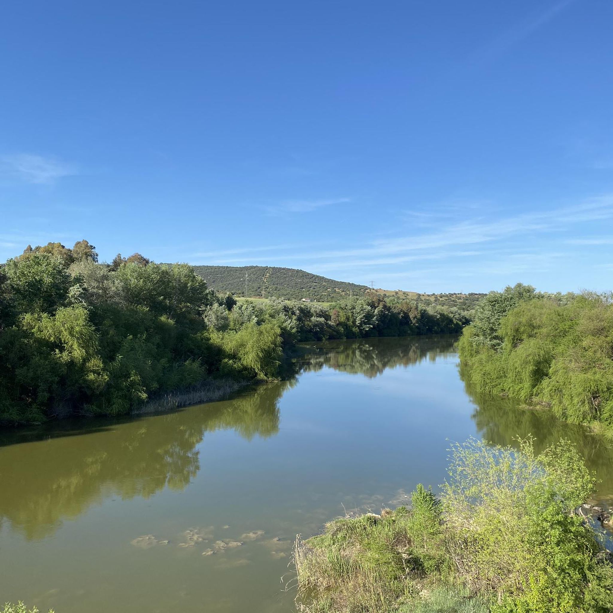
Gravel biking around Río Guadalquivir -Tramo Medio features diverse terrain, combining riparian habitats along the river's meanders with expansive agricultural plains and the foothills of the Sierra Morena. The landscape includes fertile fields, extensive olive groves, and gently sloping hills, providing varied surfaces for gravel cyclists. This region is characterized by its blend of unpaved tracks and paths, alongside some paved sections, offering routes suitable for different skill levels.
Best gravel bike trails around Río Guadalquivir -Tramo Medio
- The most…
Last updated: July 8, 2026
5.0
(3)
44
riders
Hard gravel ride. Very good fitness required. Mostly paved surfaces. Suitable for all skill levels.
5.0
(1)
27
riders
37.9km
02:25
100m
100m
Moderate gravel ride. Good fitness required. Mostly paved surfaces. Suitable for all skill levels.

Sign up for free
4.5
(4)
38
riders
47.7km
02:58
160m
150m
Moderate gravel ride. Good fitness required. Mostly paved surfaces. Suitable for all skill levels.
5.0
(3)
36
riders
56.2km
03:52
690m
690m
Hard gravel ride. Very good fitness required. Mostly paved surfaces. Suitable for all skill levels.
27
riders
63.2km
03:43
350m
350m
Moderate gravel ride. Good fitness required. Mostly paved surfaces. Suitable for all skill levels.
5.0
(1)
20
riders
43.6km
03:31
850m
850m
Hard gravel ride. Very good fitness required. Mostly paved surfaces. Suitable for all skill levels.
5.0
(1)
21
riders
Hard gravel ride. Very good fitness required. Mostly paved surfaces. Suitable for all skill levels.
14
riders
48.7km
03:47
780m
780m
Hard gravel ride. Very good fitness required. Mostly paved surfaces. Suitable for all skill levels.
18
riders
Moderate gravel ride. Good fitness required. Mostly paved surfaces. Suitable for all skill levels.
5.0
(1)
21
riders
64.3km
03:31
510m
510m
Hard gravel ride. Very good fitness required. Mostly paved surfaces. Suitable for all skill levels.
Get access to more routes and recommendations from other explorers.
Sign up for free
Already have an account?
Our route recommendations are based on thousands of hikes, rides, and runs completed by other people on komoot.
Start today with a free account
Your next adventure awaits.
Login or Signup
Popular around Río Guadalquivir -Tramo Medio

Other adventures around Río Guadalquivir -Tramo Medio

Tips from the Community


Scattered along the riverbed, christened by the Arabs as Guadalquivir (“great or copious river”) as it passes through the World Heritage city, are what were once symbols of the milling industry in Córdoba, which today remain inserted in an unparalleled landscape setting, silent witnesses to the city's evolution.
2
0

Connection with the Campiñuela and the route that leads to Rabanales and the Alcaidia path
0
0
One of the most legendary climbs in the Sierra de Córdoba, well-known for both hiking and mountain biking. It's a tough, consistent climb, very popular with local cyclists and races like the Andalucía Bike Race and the Guzmán el Bueno (the latter often runs it in the opposite direction). The Cuesta del Reventón ascends towards the Ermitas de Córdoba, a classic panoramic viewpoint. It's a wide, rocky path with a steep incline, frequently used by cyclists and hikers. Approximate length: between 2.7 km (classic route) and 4.7 km depending on the mountain bike variant. Elevation gain: between 155 m and 486 m, depending on the route.
3
0
Circular route from Turruñuelos Park, Córdoba, passing through: - Torrehoria Viewpoint (19.5 km) - Torre del Beato (23.1 km) - Torre de las Siete Esquinas (24.5 km) - Bridge over the canal (29.5 km) The route begins along the Guadalmellato Canal, ascends through La Canchuela, Llanos de los Mesoneros, passes the El Cruce gas station, enters the "Fangor" forest, Torrehoria, Camino del Nuo Bajo, Torre del Beato, Torre de las Siete Esquinas, and from there descends to reach the start of the Trassierra Trail. Except for the descent from Siete Esquinas, the route, exceptionally beautiful given the recent rainfall in the mountains with runoff everywhere, follows paths without technical difficulty, making it even more appealing. It's a challenging distance but offers stunning views of the surrounding area and the city and its environs from the highest points.
0
0
The Mosque-Cathedral of Córdoba is one of the most impressive monuments in the world, a symbol of Islamic art in the West and a UNESCO World Heritage Site since 1984. It was originally the Visigothic Basilica of San Vicente, shared by Christians and Muslims. In 784, Abd al-Rahman I began construction of the mosque, which was expanded by his successors: Abd al-Rahman II, Abd al-Rahman III, Al-Hakam II, and Almanzor. After the Christian Reconquista in 1236, it was consecrated as the Cathedral of the Assumption of Our Lady, and in 1523 a Renaissance basilica was built inside.
15
0

Excellent car-free bike route along the canal.
0
0
Generations of stork families have made this location their home. You find them here every year during spring, refreshing their nests and rearing their young.
0
0
Frequently Asked Questions
How many gravel bike trails are available in Río Guadalquivir - Tramo Medio?
There are over 75 gravel bike routes in the Río Guadalquivir - Tramo Medio region, offering a wide variety of experiences. These routes range from moderate to difficult, catering to different skill levels and preferences.
What kind of terrain can I expect on gravel bike trails in this region?
The Río Guadalquivir - Tramo Medio offers a diverse gravel biking experience. You'll encounter a mix of unpaved tracks and paths, alongside some paved sections. The terrain includes expansive agricultural plains with fertile fields and olive groves, as well as gently sloping hills in the foothills of the Sierra Morena. The routes often follow the river's meanders, providing varied surfaces.
Are there any easy gravel bike routes for beginners or families?
While the majority of routes are rated moderate to difficult, there are a few easier options available. For example, the region offers routes that traverse agricultural plains, which tend to be less challenging. You can find 2 routes specifically categorized as easy, and 18 as moderate, which might be suitable for those looking for a less strenuous ride.
What are some notable landmarks or points of interest I can see along the gravel trails?
The region is rich in historical and natural attractions. Along the trails, you might encounter historic bridges like the Villafranca Iron Bridge or the Bridge over the Guadalquivir River. There are also scenic viewpoints, such as the View of Castillo de Almodóvar del Río from CO-3313, and natural features like the Peñaflor Reservoir - Guadalquivir River. Many routes also pass through charming towns like Almodóvar del Río, Montoro, and Posadas.
Are there any circular gravel bike routes in Río Guadalquivir - Tramo Medio?
Yes, many of the gravel bike routes in the region are designed as loops. For instance, you could explore the Canal – La Porrada loop from Córdoba Julio Anguita, which is a challenging 56.8 km ride, or the Villarrubia Church – Vía Verde Near El Reventón loop from Villarrubia de Córdoba, a moderate 33.1 km option.
What is the best time of year to go gravel biking in this area?
The Río Guadalquivir - Tramo Medio is suitable for gravel biking for much of the year. However, given the warm climate of Andalusia, spring (March to May) and autumn (September to November) are generally ideal, offering milder temperatures. Summers can be very hot, so early morning or late afternoon rides are recommended if visiting during those months. Winters are usually mild, making it possible to ride year-round, though some paths might be affected by rain.
What do other gravel bikers say about the trails in Río Guadalquivir - Tramo Medio?
The gravel biking routes in Río Guadalquivir - Tramo Medio are highly regarded by the komoot community, with an average rating of 4.5 stars from over 40 reviews. Cyclists often praise the diverse landscapes, the mix of challenging and moderate sections, and the opportunity to explore both natural beauty and historical sites along the river.
Are there any routes that offer significant elevation changes for a challenging ride?
Absolutely. The proximity to the Sierra Morena foothills means many routes feature significant elevation gain. For a challenging experience, consider the Arroyo Bejarano – Natural viewpoint loop from Córdoba Julio Anguita, which includes substantial climbs over its 47.4 km, or the Canal de Guadalmellato Path – Vereda de la Alcaidía loop from Alcolea de Córdoba, a difficult 61.3 km route with over 880 meters of ascent.
Can I expect to see wildlife while gravel biking in this region?
Yes, the Río Guadalquivir - Tramo Medio is a biodiversity hotspot and a Natura 2000 site. The riparian zones and ecological corridors support a variety of wildlife. You might spot various bird species, including wading birds and herons, as well as amphibians, reptiles, and even otters, especially near the riverbanks and reservoirs.
Are there any routes that follow canals or rivers?
Many routes in the region utilize the natural and man-made waterways. The Guadalmellato Canal – Canal loop from Córdoba Julio Anguita is a popular moderate route that follows the Guadalmellato Canal. You'll also find paths that run alongside the Guadalquivir River itself, offering scenic views of its meanders and riparian habitats.
What is the longest gravel bike route available in Río Guadalquivir - Tramo Medio?
One of the longer and more challenging routes is the Canal de Guadalmellato Path – Puente Mocho loop from Córdoba Julio Anguita, which spans nearly 75 km and features significant elevation gain, making it a full-day adventure for experienced riders.
Are there any routes that pass through historical areas or towns?
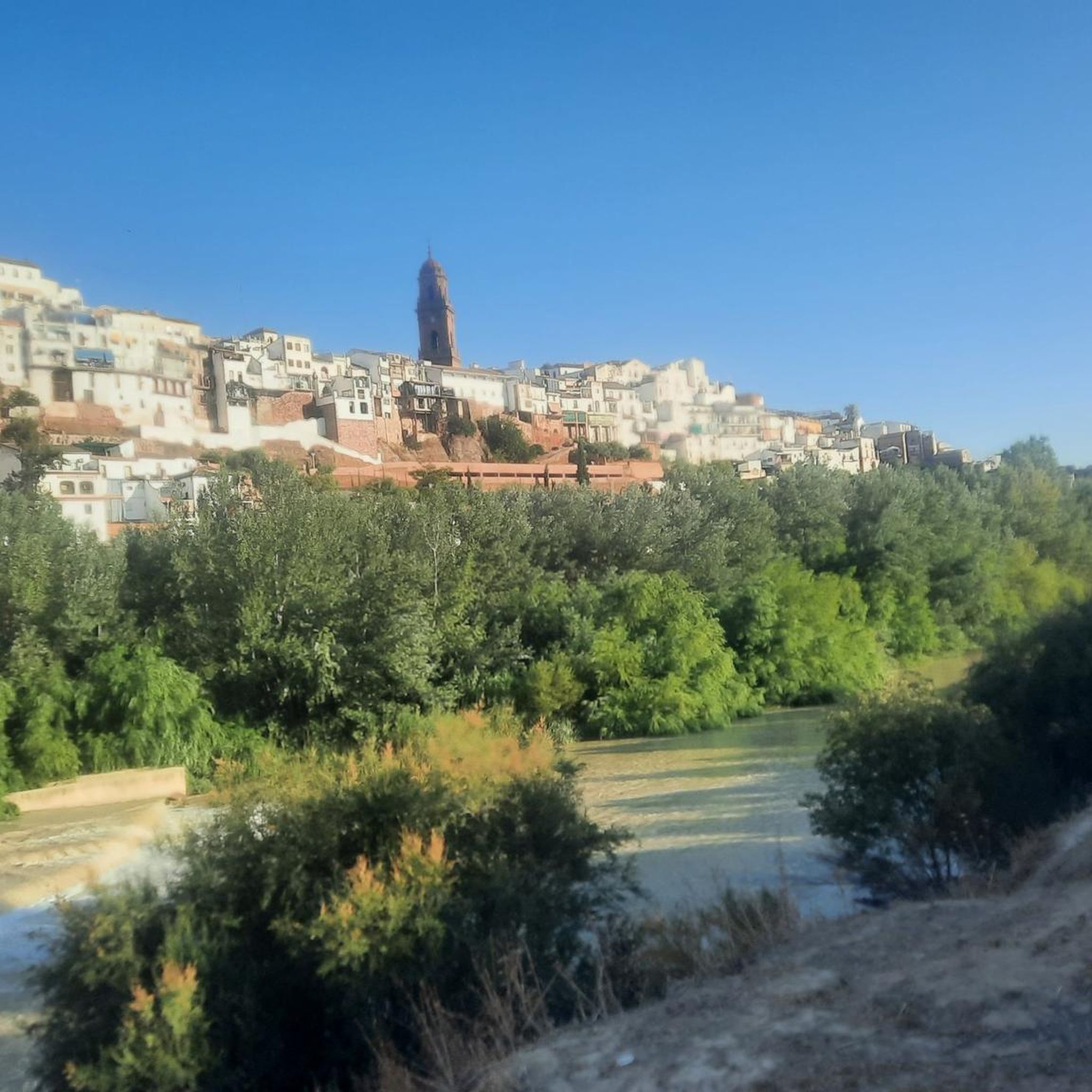
Yes, the region's gravel routes often connect picturesque towns and historical sites. For example, the Seville Gate – Guadalcazar Recreation Area loop from Córdoba Julio Anguita takes you through areas with historical significance. Many routes also offer opportunities to visit towns like Almodóvar del Río, known for its striking castle, or Montoro, with its unique river meander.
Most popular routes around Río Guadalquivir -Tramo Medio
Most popular attractions around Río Guadalquivir -Tramo Medio

Get inspired with the komoot mobile app


Explore more
Browse the best Gravel rides in other regions.
