The best gravel rides in Sierra Calderona
4.2
(31)
408
riders
88
rides
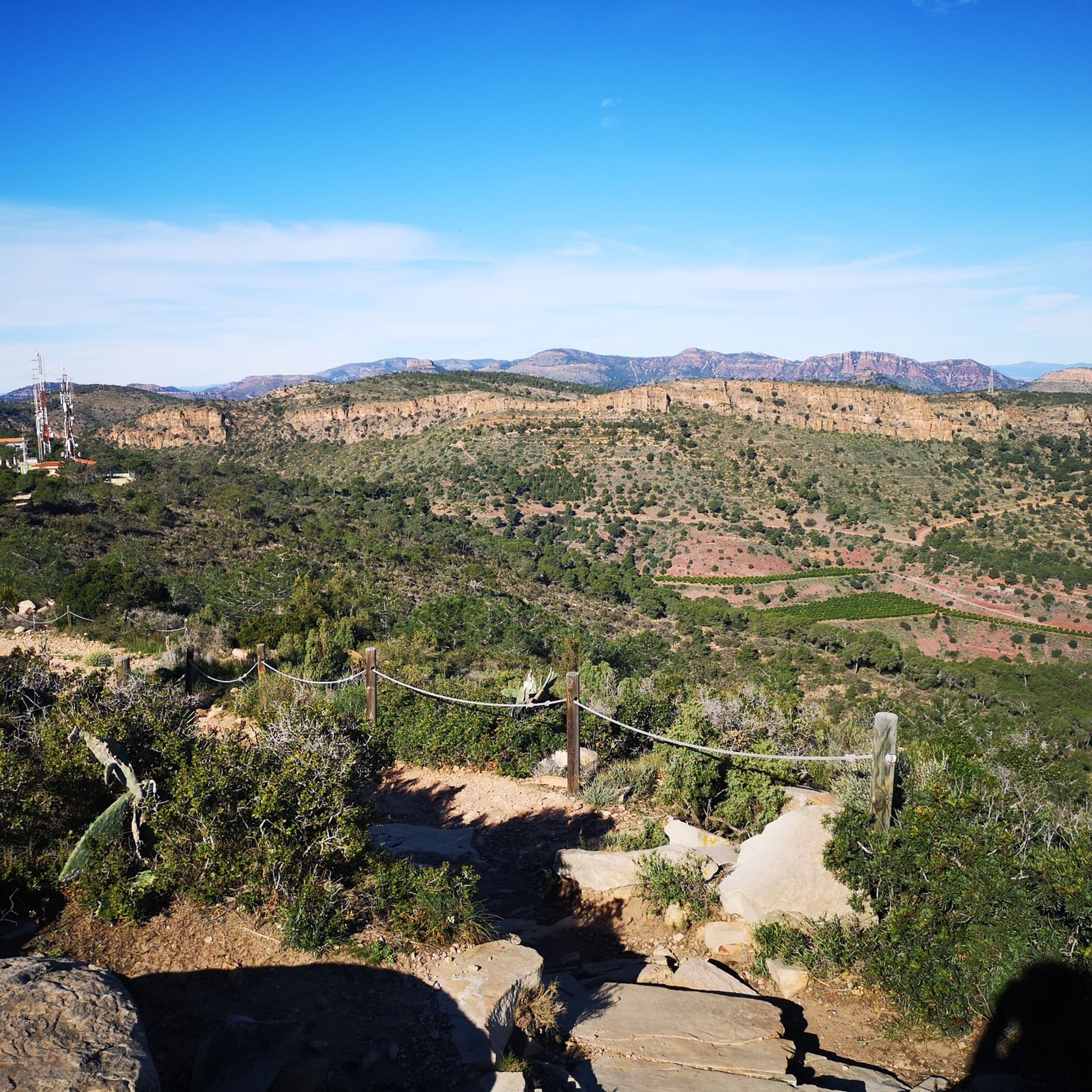
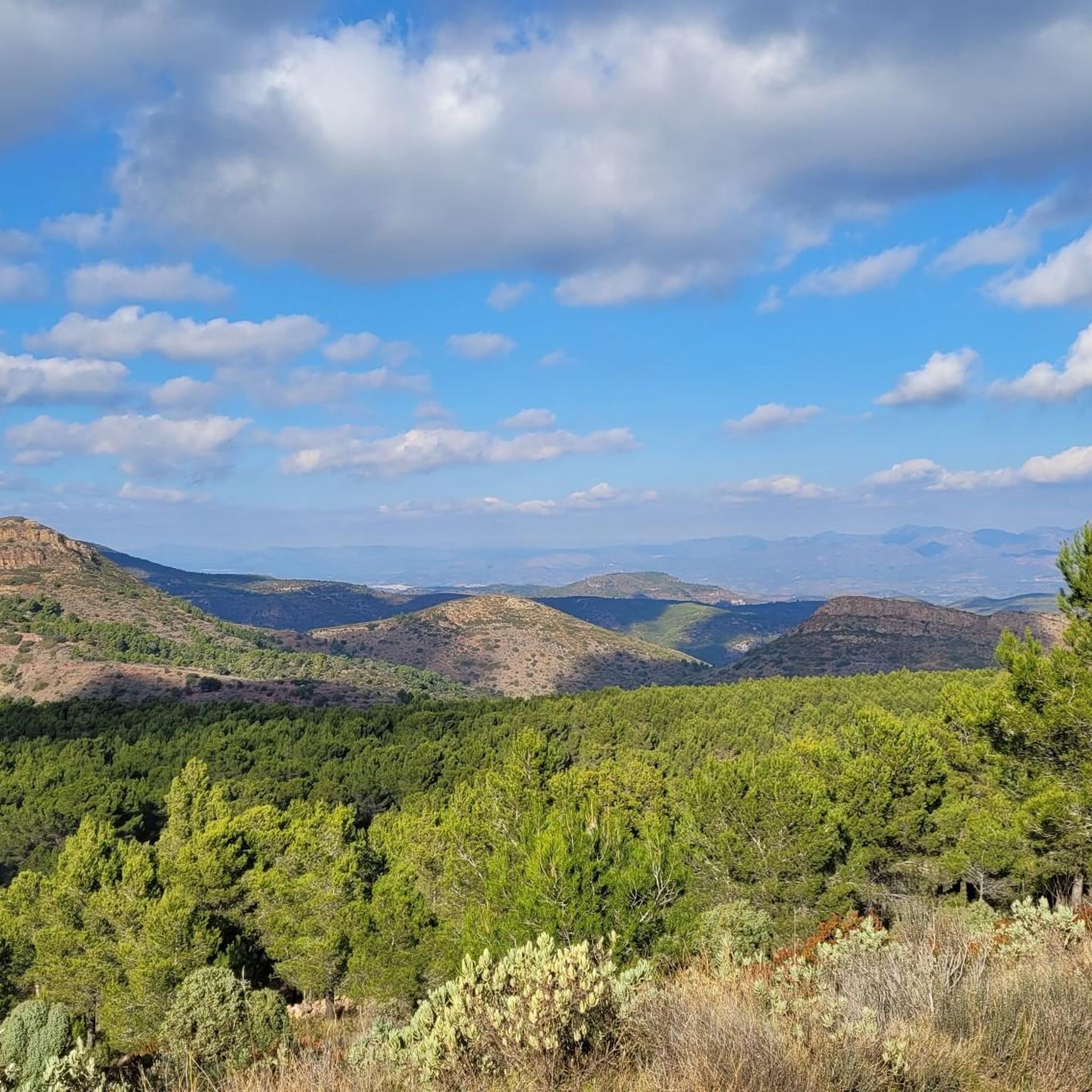
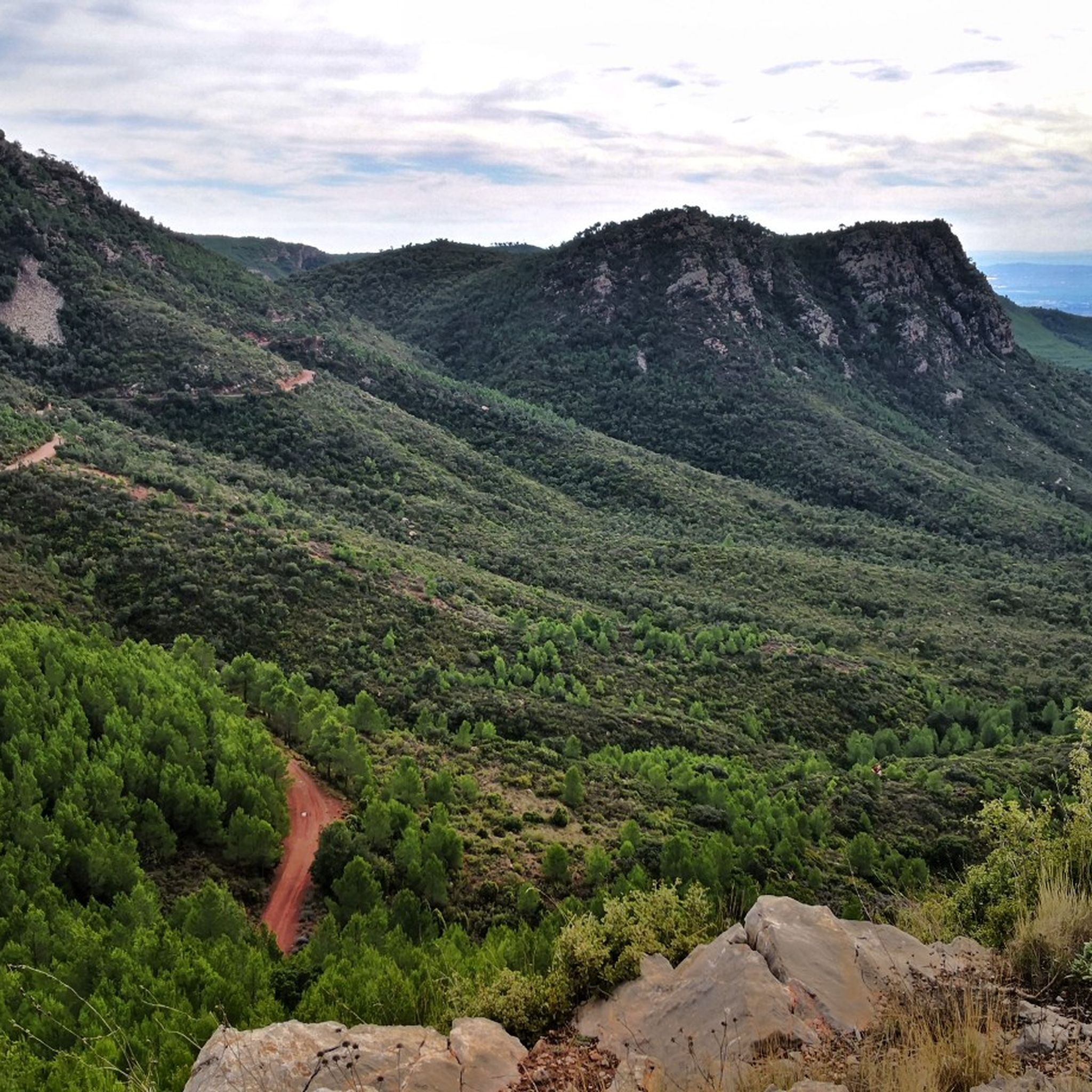
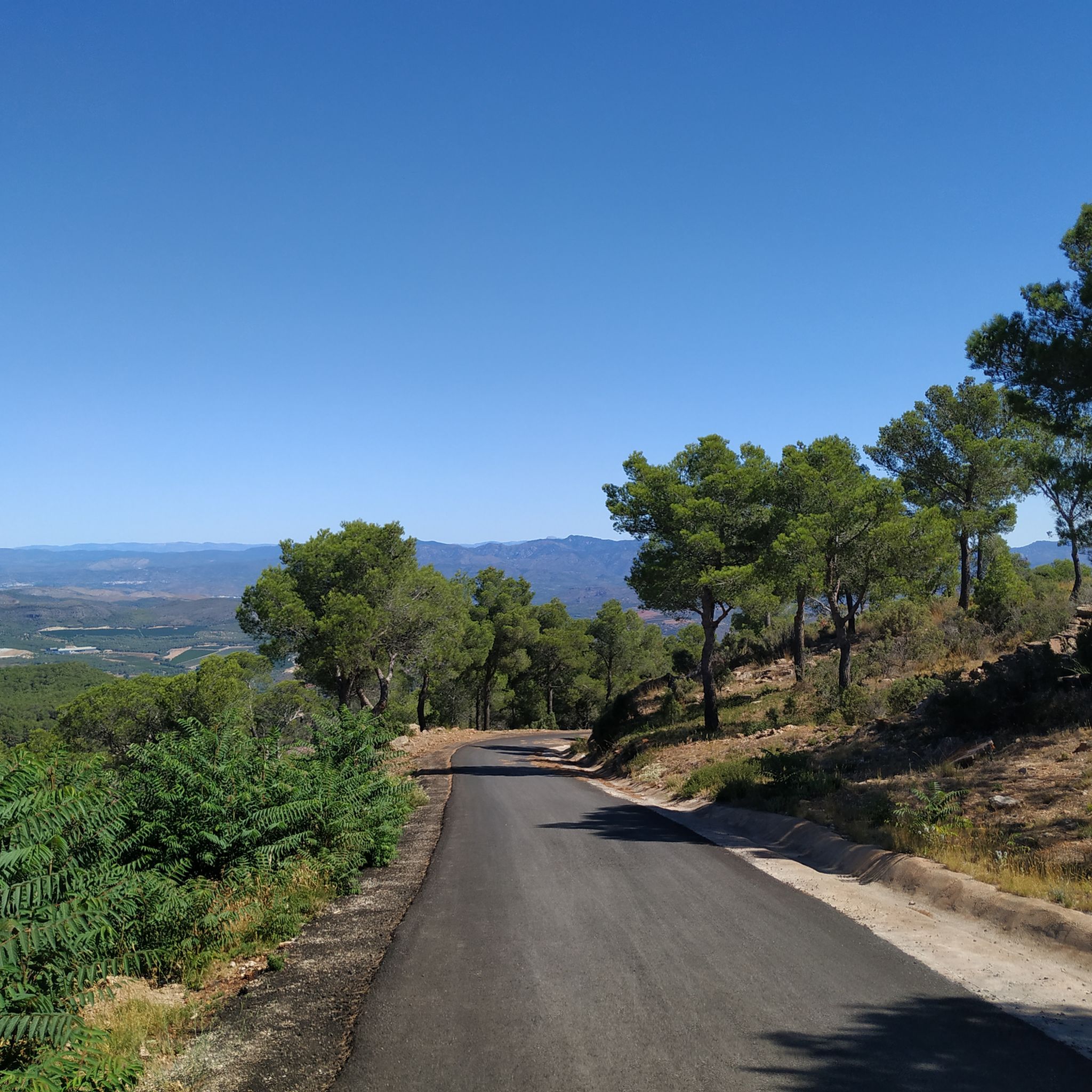
Gravel biking in Sierra Calderona features a diverse landscape characterized by mountainous terrain, dense pine forests, and Mediterranean scrubland. The region offers a network of trails suitable for gravel bikes, traversing varied elevations and natural environments. Riders can expect routes that navigate through valleys, ascend hills, and provide views of the surrounding natural park. The terrain often includes unpaved roads and forest tracks, typical for gravel cycling.
Best gravel bike trails in Sierra Calderona
- The most popular gravel bike trail is L'Aldea de L'Olta – Olocau Castle loop from Olocau, a 26.4 miles (42.4 km) trail that takes about 4 hours to complete. This route features significant elevation gain and passes by historical points of interest.
- Another top favourite among local gravel bikers is Ojos Negros Greenway – Ojos Negros Greenway loop from Gilet, a difficult 52.3 miles (84.1 km) path. This trail follows a former railway line, offering a mix of open stretches and forested sections.
- Local gravel bikers also love the Path of the Eagle Peak – Ascent to La Mola (Back Route) loop from Gilet, a 15.9 miles (25.5 km) trail leading through pine forests and offering panoramic viewpoints, often completed in about 2 hours 31 minutes.
- Gravel biking in Sierra Calderona is defined by pine forests, varied elevations, and natural park landscapes. The network offers options for different ability levels, from moderate to difficult routes.
- The routes in Sierra Calderona are highly rated by the komoot community with an average score of 4.5 stars from over 20 reviews. More than 300 gravel bikers have used komoot to explore Sierra Calderona's varied terrain.
Last updated: August 4, 2026
4.0
(1)
10
riders
41.3km
04:00
1,160m
1,160m
Hard gravel ride. Very good fitness required. Mostly paved surfaces. Suitable for all skill levels.
6
riders
22.1km
01:58
480m
490m
Hard gravel ride. Very good fitness required. Mostly paved surfaces. Suitable for all skill levels.

Sign up for free
3
riders
29.3km
02:01
370m
370m
Moderate gravel ride. Good fitness required. Mostly paved surfaces. Suitable for all skill levels.
4.0
(1)
2
riders
Moderate gravel ride. Good fitness required. Mostly paved surfaces. Suitable for all skill levels.
2
riders
42.4km
04:00
910m
910m
Hard gravel ride. Very good fitness required. Mostly paved surfaces. Suitable for all skill levels.
Get access to more routes and recommendations from other explorers.
Sign up for free
Already have an account?
Our route recommendations are based on thousands of hikes, rides, and runs completed by other people on komoot.
Start today with a free account
Your next adventure awaits.
Login or Signup
Tips from the Community

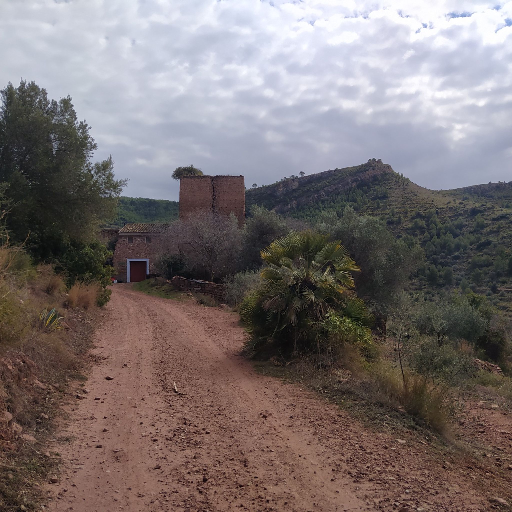
Recreational area among pine trees, it has benches and tables, water fountains, and grills. In spring/summer, the use of grills is prohibited.
0
0
Once you reach the Potrillos spring via the track, you can decide to return by the same track or by going up to the left, take this path, which is a bit more fun.
0
0
Track with a good surface that will take us over the Barranco Albalat to the track of the collado Lobo or las Navas. Uphill it is a gentle section, without ramps but continuous
0
0
It is located at an altitude of 415 meters, very close to the masía of La Pobleta and the Carthusian Monastery of Portaceli. Its surroundings are very peaceful and it is framed by giant eucalyptus trees. In these places, it is not uncommon to find a Carthusian monk walking around the monastery. Especially on Mondays, the order's day for a walk. Ideal for taking a break in the shade, especially in summer.
0
0
Arch of the old aqueduct of the Cartuja. beautiful spot
0
0
Fuente, you find it on the descent from Rebalsadores to Serra, and a good place to take a breather if you go in the opposite direction. If you make a route to the crossing that goes up to Rebalsadores, you can extend it here and then do some climbing on the way back ;)
0
0
Trail without technical complications with good views over the orchards, a few months ago I came across a pair of wild boars
0
0
Set of houses, they were in ruins but some have now been recovered, a place to pass through or a reference on the routes in the area
0
0
Frequently Asked Questions
How many gravel bike trails are available in Sierra Calderona?
Sierra Calderona offers a wide selection of gravel bike trails, with over 80 routes available. These range in difficulty from moderate to difficult, catering to various skill levels.
What is the general difficulty level of gravel biking in Sierra Calderona?
The gravel biking routes in Sierra Calderona are predominantly challenging. Out of 82 available routes, 56 are classified as difficult, and 25 are moderate. There is one easy route available for those new to the terrain.
Are there any beginner-friendly gravel bike routes in Sierra Calderona?
While most routes are moderate to difficult, there is one easy gravel bike route available in Sierra Calderona. This allows beginners to experience the region's unique landscape at a more relaxed pace.
What kind of landscapes can I expect to see while gravel biking in Sierra Calderona?
Gravel biking in Sierra Calderona takes you through diverse landscapes, including dense pine forests, Mediterranean scrubland, and varied mountainous terrain. You'll traverse unpaved roads and forest tracks, often with significant elevation changes, offering panoramic views of the natural park.
Are there any notable viewpoints along the gravel routes?
Yes, many routes offer stunning viewpoints. For example, the Path of the Eagle Peak – Ascent to La Mola (Back Route) loop from Gilet is known for its panoramic vistas. You can also find specific viewpoints like View of Olocau and the Cliffs of Cova del Cavall, which offer impressive natural scenery.
What are some interesting natural attractions or landmarks to explore near the trails?
Beyond the trails, Sierra Calderona is rich in natural attractions. You can explore various gorges, such as the Barranco del Carraixet, or discover unique geological features like the Cave of the Estampida Trail. The region also features several mountain passes like L'Oronet Pass Climb and Chirivilla Pass.
What do other gravel bikers say about their experience in Sierra Calderona?
The gravel biking experience in Sierra Calderona is highly rated by the komoot community, with an average score of 4.5 stars from over 20 reviews. Riders often praise the diverse terrain, the challenging climbs, and the beautiful natural park environment.
What is the best time of year for gravel biking in Sierra Calderona?
The Mediterranean climate of Sierra Calderona makes spring (March to May) and autumn (September to November) ideal for gravel biking. Temperatures are pleasant, and the natural scenery is vibrant. Summers can be very hot, and winters, while mild, may bring cooler, wetter conditions.
Is public transport accessible for reaching gravel bike trails in Sierra Calderona?
Access to trailheads via public transport can be limited within the natural park itself. However, some routes, like those starting from Gilet or Segorbe, may be more accessible by regional train or bus services connecting to larger towns on the park's periphery. It's advisable to check local transport schedules for specific starting points.
Where can I find parking for gravel biking in Sierra Calderona?
Parking is generally available in the towns and villages surrounding the Sierra Calderona Natural Park, such as Olocau, Gilet, and Segorbe, which serve as common starting points for many routes. Look for designated parking areas or street parking in these communities.
Are there any long-distance gravel routes in the area?
Yes, Sierra Calderona offers several longer gravel routes. For instance, the Ojos Negros Greenway – Ojos Negros Greenway loop from Gilet is a challenging 52.3-mile (84.1 km) path that follows a former railway line, providing a mix of open and forested sections.
Can I find circular gravel bike routes in Sierra Calderona?
Many of the gravel bike routes in Sierra Calderona are designed as circular loops, allowing you to start and finish at the same point. Examples include the L'Aldea de L'Olta – Olocau Castle loop from Olocau and the Ascent to Laguna de Soneja – Rest Area at Arguinas Viaduct loop from Gilet.
Most popular routes in Sierra Calderona
Most popular attractions in Sierra Calderona

Get inspired with the komoot mobile app


Explore more
Browse the best Gravel rides in other regions.
