The best gravel rides around Großer Döhrener Teich
4.4
(1958)
9,133
riders
286
rides
Gravel biking around Großer Döhrener Teich offers diverse terrain within a gravel pit lake environment, characterized by a network of paths suitable for gravel bikes. The region features densely tree-lined shores, small islands, and connections to the expansive Leine floodplains. This landscape, part of the larger Ricklinger Kiesteiche area, provides varied surfaces from compacted gravel to dirt tracks within a designated landscape conservation zone.
Best gravel bike trails around Großer Döhrener Teich
- The most popular gravel bike trail is Historic Leine Crossing – View of the River Leine loop from Hemmingen, an 11.1 miles (17.8 km) trail that takes 53 minutes to complete. This route explores the natural floodplains of the River Leine.
- Another top favourite among local gravel bikers is Forest Path in Eilenriede – Alte Bult loop from Geibelstraße, an easy 15.0 miles (24.1 km) path. This path explores urban green spaces and connects to the broader Hanover area.
- Local gravel bikers also love the View of the River Leine – Koldinger Lakes loop from Geibelstraße, a 42.8 miles (68.9 km) trail leading through the Leine floodplains and past interconnected lakes, often completed in about 4 hours 41 minutes.
- Gravel biking around Großer Döhrener Teich is defined by gravel pit lake environments, diverse shorelines, and extensive paths within the Leine floodplains. The network offers options for different ability levels.
- The routes in Großer Döhrener Teich are highly rated by the komoot community with an average score of 4.5 stars from over 1,400 reviews. More than 7,600 gravel bikers have used komoot to explore Großer Döhrener Teich's varied terrain.
Last updated: November 16, 2026
5.0
(3)
24
riders
Easy gravel ride. Mostly paved surfaces.
4.5
(65)
320
riders
69.3km
03:36
180m
180m
Moderate gravel ride. Good fitness required. Mostly paved surfaces.

4.5
(55)
199
riders
Easy gravel ride. Mostly paved surfaces.
5.0
(6)
10
riders
101km
06:04
940m
940m
Hard gravel ride. Very good fitness required. Mostly paved surfaces.
5.0
(6)
42
riders
Easy gravel ride. Mostly paved surfaces.
Get access to more routes and recommendations from other explorers.
Already have an account?
Our route recommendations are based on thousands of hikes, rides, and runs completed by other people on komoot.
Start today with a free account
Your next adventure awaits.

Tips from the Community

Beautiful paths in the shade and also dry even in a little rain.
0
0

Nice route to escape car traffic and still be fast
0
0

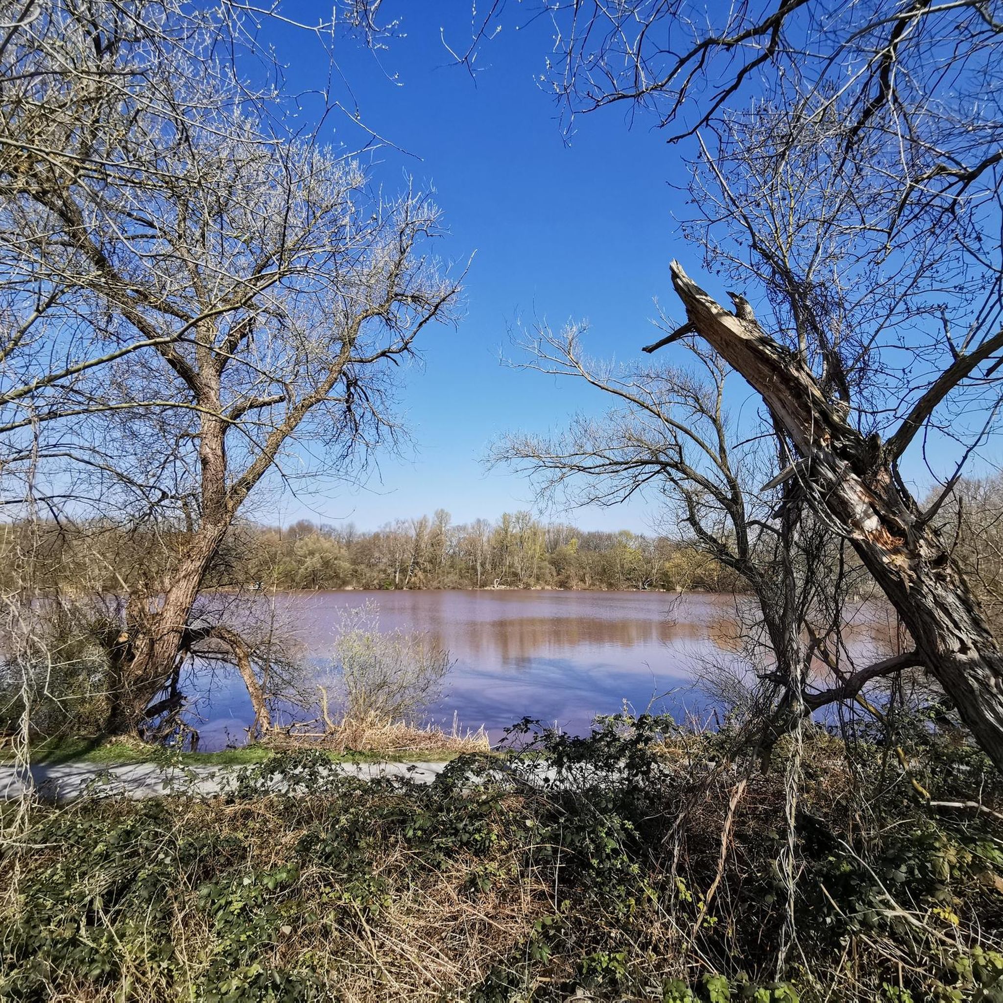
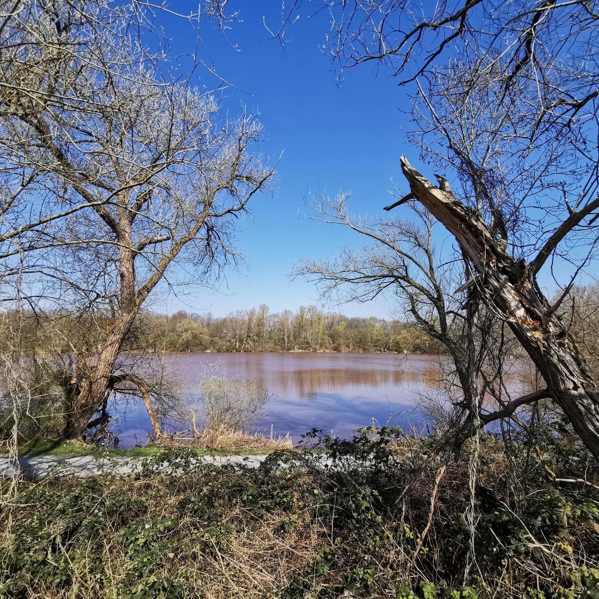
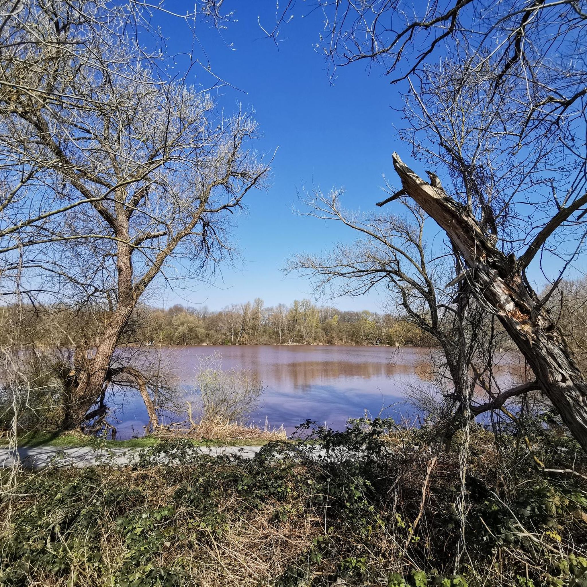
Here you have a beautiful view of the Leine river.
0
0

The place invites you to linger.☺️
1
0

Great trail along the Innerste river with rapids and a ford (only at low water!).
0
0

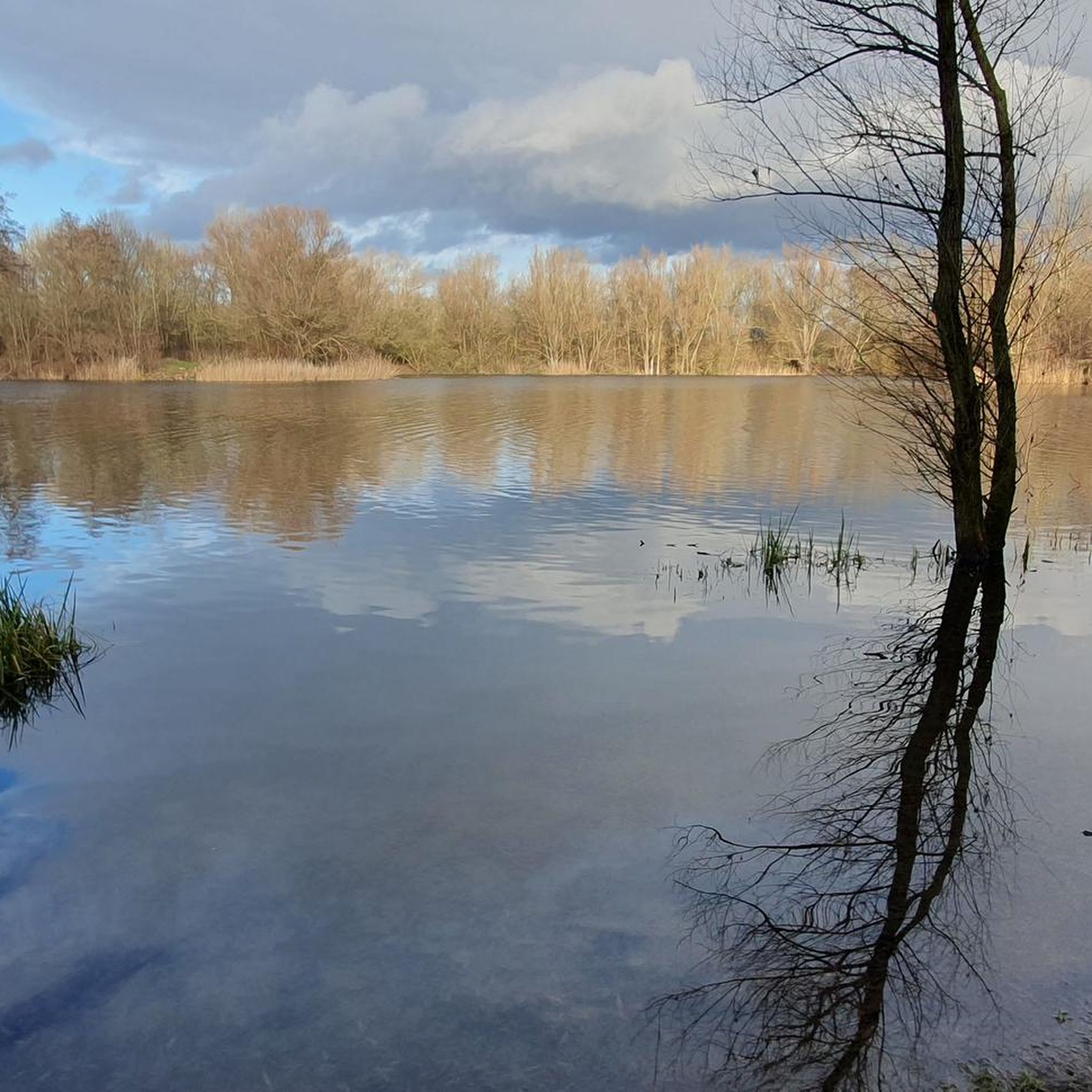
Beautiful bike path in a lovely park. Unfortunately, the weather is gray today.
1
0

The shore is lined with trees, sculptures, and cafés that invite you to linger. The view over the lake is particularly impressive, with the waters reflecting picturesquely in the Maschteich pond when the water is calm ✨.
11
0

The highlight of Giesen is the so-called Kalimandjaro. This white giant was formed by underground salt mining.
0
0
Frequently Asked Questions
How many gravel bike trails are available around Großer Döhrener Teich?
There are over 500 gravel bike routes in the Großer Döhrener Teich area. These include a wide range of options, with approximately 145 easy, 270 moderate, and over 110 difficult trails to explore.
What kind of terrain can I expect on gravel bike trails near Großer Döhrener Teich?
The terrain around Großer Döhrener Teich is characteristic of a gravel pit lake environment, offering a mix of compacted gravel, dirt tracks, and some paved sections. You'll find diverse shorelines, paths through the Leine floodplains, and routes connecting to other lakes, providing varied surfaces ideal for gravel biking.
Are there any family-friendly gravel bike routes in the area?
Yes, the region offers several easy routes suitable for families. An excellent option is the Großer Hemminger Teich – Maschsee North Shore loop from Hemmingen, an easy 14.2 km path that connects several lakes, offering varied lakeside scenery without significant elevation changes.
What are the best times of year for gravel biking around Großer Döhrener Teich?
The area is enjoyable for gravel biking throughout much of the year. Spring and autumn offer pleasant temperatures and beautiful natural scenery, especially with the tree-lined shores. Summer is also great, though some paths might be busier. Winter riding is possible, but trail conditions can vary with snow or ice.
What can I see or explore along the gravel bike trails?
The trails offer views of the Großer Döhrener Teich with its five small islands and densely tree-lined shores. Many routes extend into the Leine floodplains, providing opportunities to observe rich flora and fauna, especially waterfowl. You can also explore interconnected lakes like Dreiecksteich, Großer Ricklinger Teich, and Sieben-Meter-Teich.
Are there any long-distance gravel routes for experienced riders?
For experienced riders seeking a longer challenge, consider the Maschsee, Hanover – View of the Deister loop from Geibelstraße. This difficult route spans over 100 km and includes significant elevation, offering an extensive exploration of the wider region.
What do other gravel bikers enjoy most about the Großer Döhrener Teich area?
The area is highly rated by the komoot community, with an average score of 4.5 stars from over 2,200 reviews. Reviewers often praise the diverse natural landscapes, the well-maintained network of paths, and the tranquil atmosphere of the lake and floodplain environments, making it a popular spot for almost 10,000 visitors.
Is there parking available for visitors bringing their bikes?
While specific parking lots are not detailed, as a popular recreational area, Großer Döhrener Teich typically has designated parking options nearby. It's advisable to check local signage or parking apps for the most convenient spots, especially near access points to the Ricklinger Kiesteiche area.
Can I reach the Großer Döhrener Teich area by public transport with my bike?
Yes, the Großer Döhrener Teich area is accessible by public transport in Hanover. Many local and regional transport services allow bikes, though restrictions may apply during peak hours or on certain lines. It's recommended to check the local transport provider's website for their current bike carriage policies and schedules.
Are there any circular gravel bike routes?
Many routes in the area are designed as loops, allowing you to start and end at the same point. An example is the Leinemasch Nature Area – View of the River Leine loop from Hemmingen, which is an 17.9 km easy trail exploring the natural floodplains.
Are dogs allowed on the gravel bike trails around Großer Döhrener Teich?
The Großer Döhrener Teich area, being a landscape conservation area, generally welcomes dogs. However, it's important to keep dogs on a leash, especially in nature protection zones and during nesting seasons, to protect local wildlife. Always follow local regulations and show consideration for other visitors.
What is the elevation profile like for gravel biking in this region?
The Großer Döhrener Teich area and the surrounding Leine floodplains are relatively flat, making many routes accessible. For example, the Forest Path in Eilenriede – Alte Bult loop from Geibelstraße has minimal elevation gain. However, longer routes extending further into the wider region, like the one towards the Deister, can include more significant climbs.
Most popular routes around Großer Döhrener Teich

Get inspired with the komoot mobile app


Explore more
Browse the best Gravel rides in other regions.
