The best gravel rides around Bütgenbacher Lake
4.8
(61)
732
riders
62
rides
Gravel biking around Bütgenbacher Lake offers routes through the Eifel-Ardennes landscape in East Belgium, characterized by extensive forests, vast green expanses, and distinctive hedgerow landscapes. The terrain features a mix of gravel and asphalt surfaces, traversing forest paths, meadows, and areas with "grass asphalt." Routes often include moorland scenery within the High Fens and follow the Warche river valley.
Best gravel bike trails around Bütgenbacher Lake
- The most popular gravel bike trail is High Fens and Bütgenbach Lake Loop,…
Last updated: August 4, 2026
5.0
(2)
5
riders
24.5km
01:39
280m
280m
Moderate gravel ride. Good fitness required. Mostly paved surfaces. Suitable for all skill levels.
2
riders
57.9km
03:51
800m
800m
Hard gravel ride. Very good fitness required. You may need to push your bike for some segments of this route.

Sign up for free
4.3
(6)
21
riders
47.8km
03:04
550m
560m
Hard gravel ride. Very good fitness required. Mostly paved surfaces. Suitable for all skill levels.
4
riders
41.1km
02:52
580m
580m
Hard gravel ride. Very good fitness required. Mostly paved surfaces. Suitable for all skill levels.
7
riders
52.9km
03:47
650m
650m
Hard gravel ride. Very good fitness required. Mostly paved surfaces. Suitable for all skill levels.
Get access to more routes and recommendations from other explorers.
Sign up for free
Already have an account?
Our route recommendations are based on thousands of hikes, rides, and runs completed by other people on komoot.
Start today with a free account
Your next adventure awaits.
Login or Signup
Other adventures around Bütgenbacher Lake

Tips from the Community

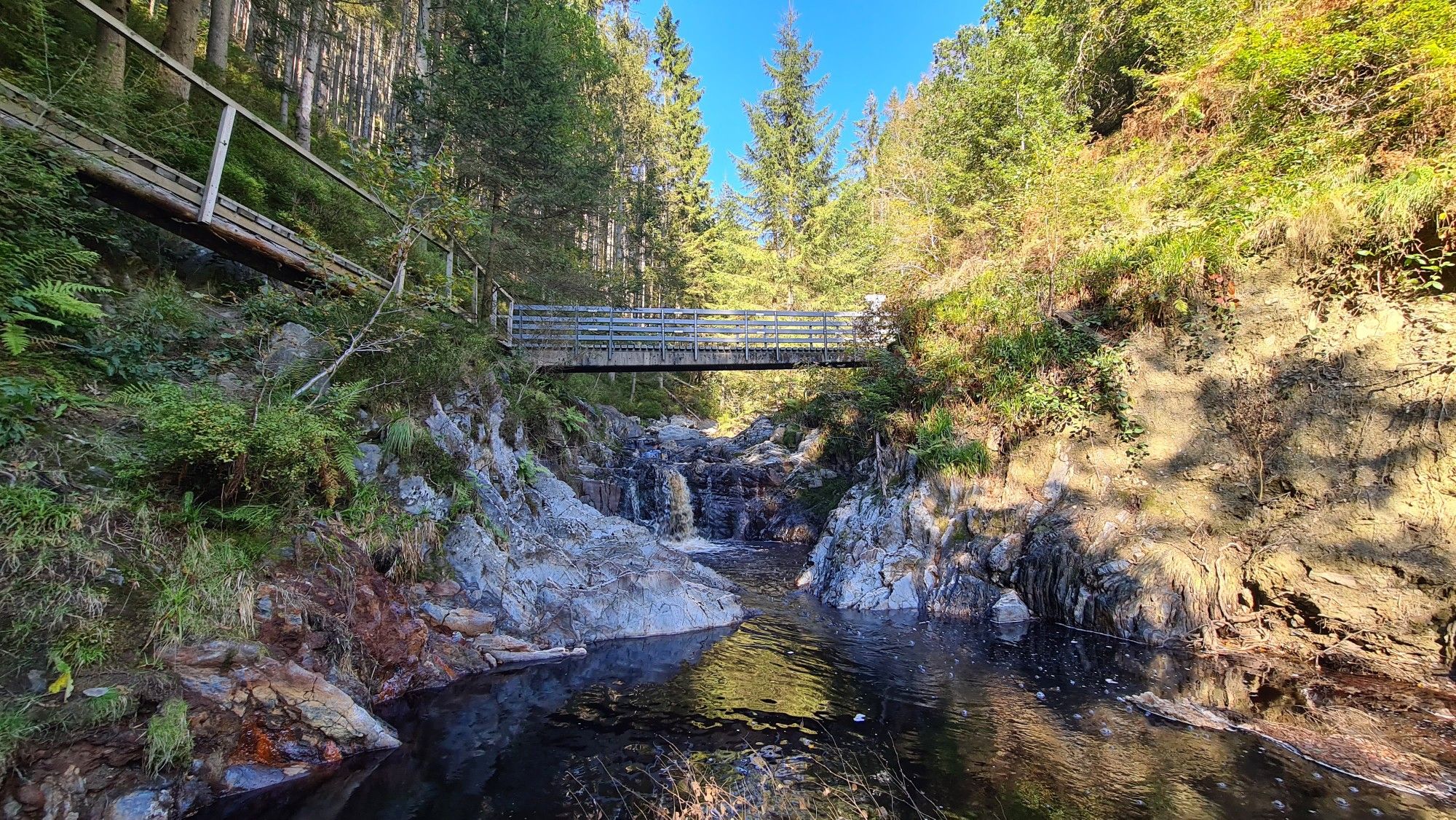
Well, the picturesque stream also has a name, and that is Olef. It flows down here from the Zitterwald, where it originates, and flows into the Oleftalsperre. From there it continues, to Gemünd and there into the Urft and then into the Urftsee.
0
0

Interesting and also beautiful construction. It immediately catches the eye.
0
0
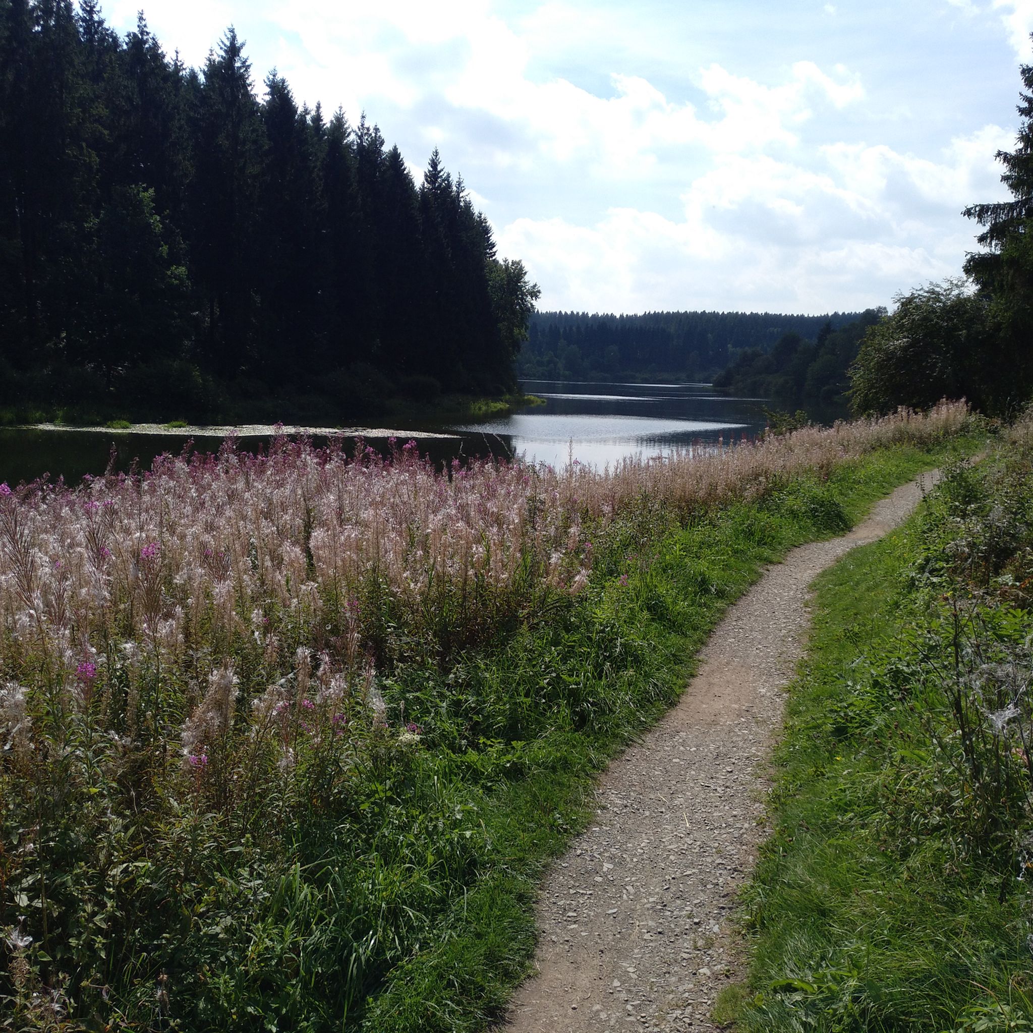
An overall beautiful lake with a great path to go around. Although in the summer with warm weather it can also be very busy. Via the adjacent Vennradweg it is also top to reach by bike.
0
0

Nice place for a short break.
1
0
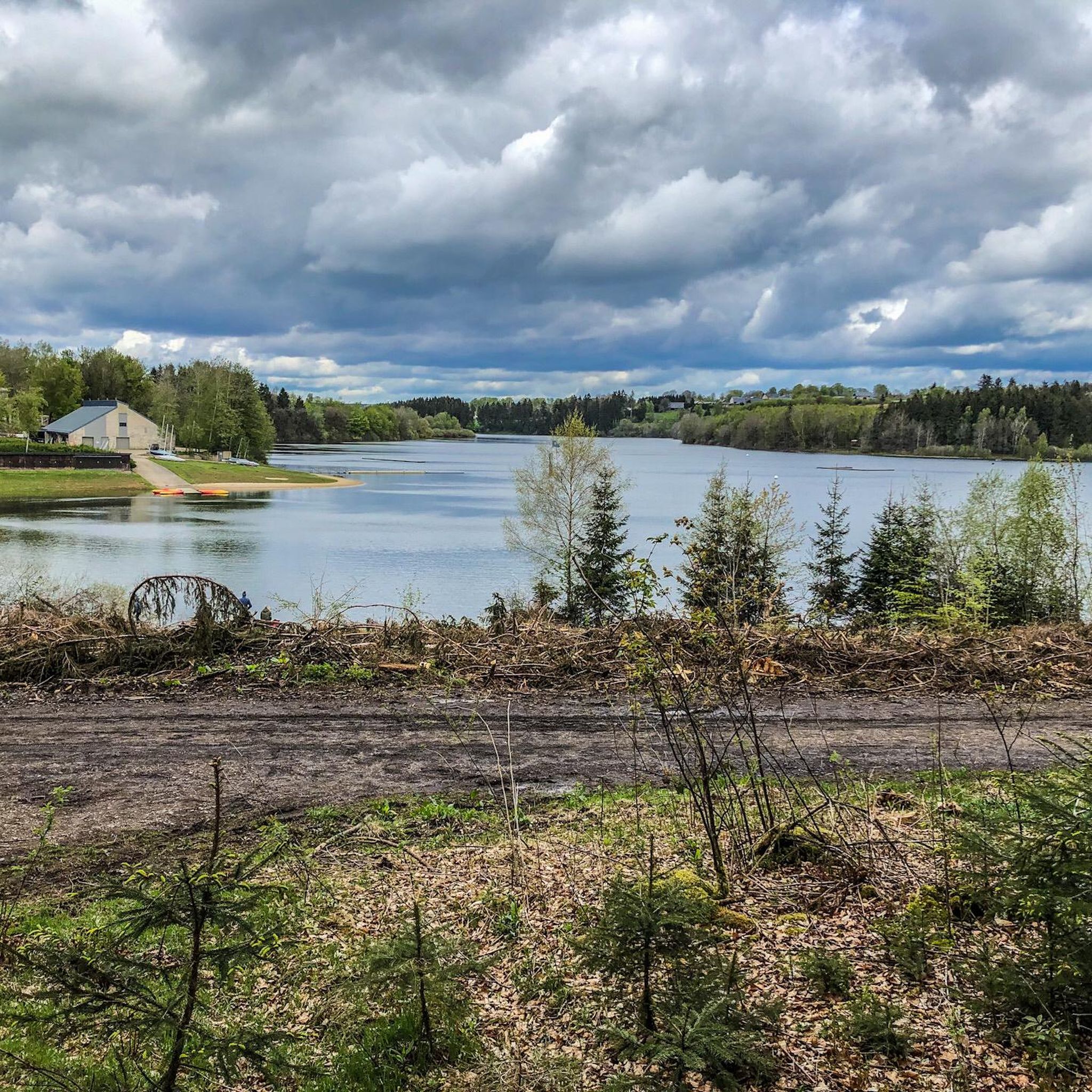
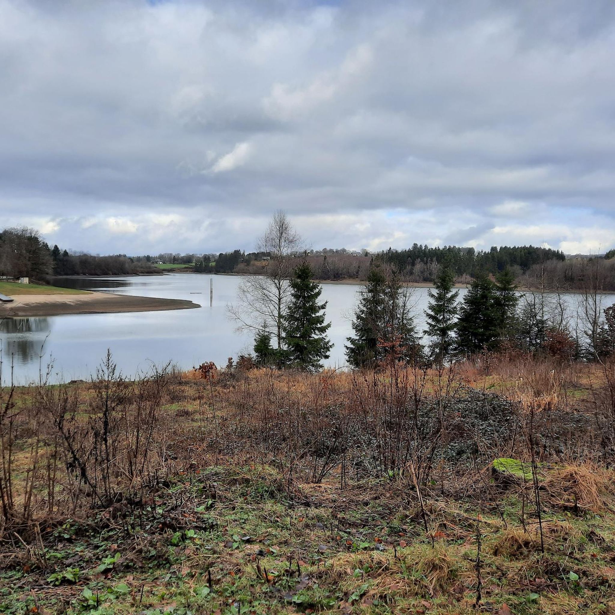
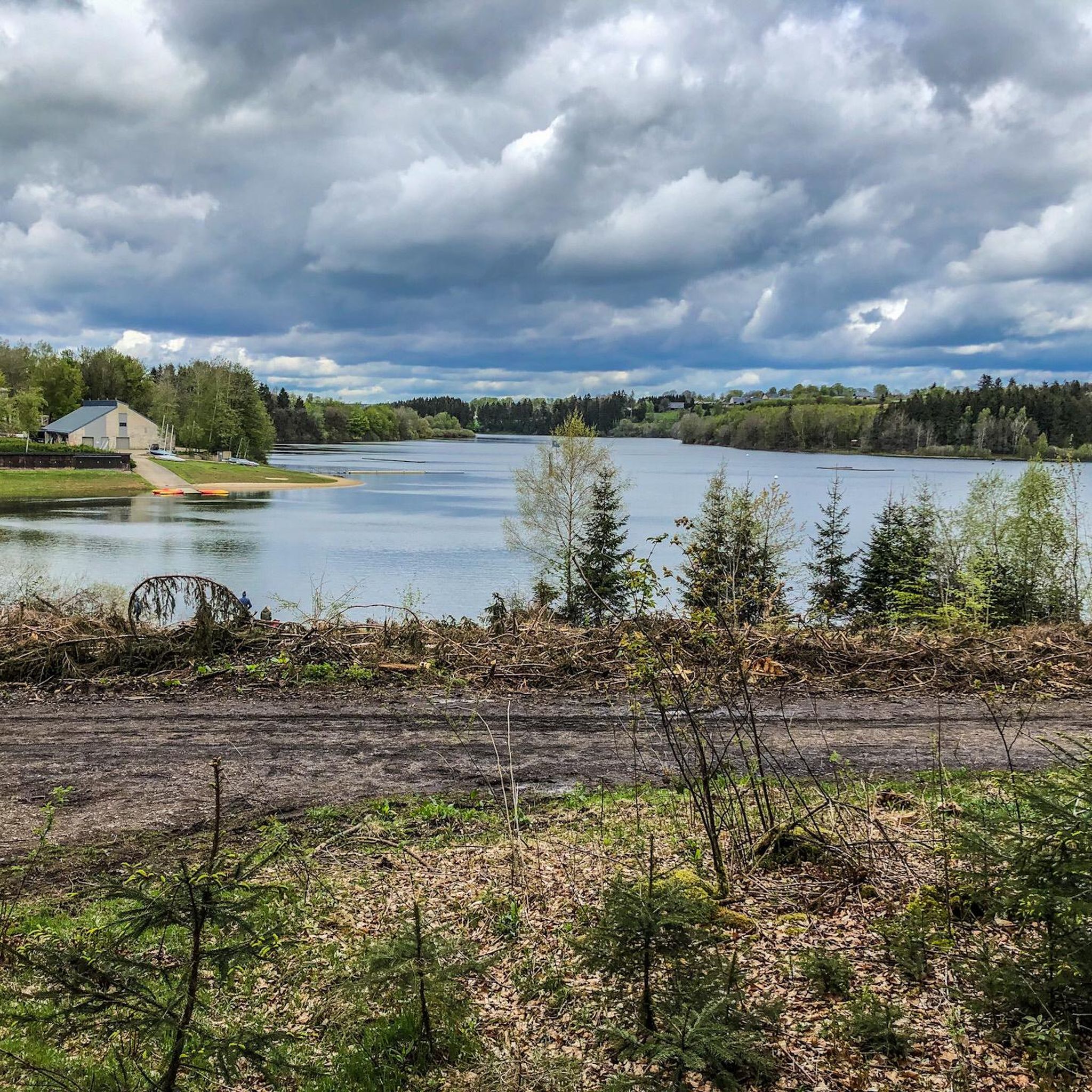
From here you have a beautiful view of the Bütgenbach Lake.
0
1

The Bütgenbach dam was built between 1929 and 1932. The main function of the dam is to regulate the course of the Warche river. This created the lake of Bütgenbach. It is a starting point for beautiful, popular hiking routes: for example, a 10-kilometer walk can be made around the lake.
15
0
The Bütgenbach dam was built between 1929 and 1932. The main function of the dam is to regulate the course of the Warche river. This created the lake of Bütgenbach. It is a starting point for beautiful, popular hiking routes: for example, a 10-kilometer walk can be made around the lake.
12
0

Dam construction period: 1954–1959 Height above valley floor: 54.6 m Crest length: 282 m Crest width: 5.7 m
0
0
Frequently Asked Questions
How many gravel bike trails are there around Bütgenbacher Lake?
The Bütgenbacher Lake region offers a wide selection of gravel biking routes, with over 70 trails available. These range from moderate to difficult, catering to various skill levels.
What kind of terrain can I expect on gravel bike trails around Bütgenbacher Lake?
You'll encounter diverse terrain, including extensive forest paths, open meadows, and areas with 'grass asphalt' – old road surfaces partially reclaimed by nature. The routes often combine gravel and asphalt, traversing unique moorland scenery in the High Fens and the Warche river valley.
Are there any family-friendly gravel bike routes near Bütgenbacher Lake?
While many routes in the area are moderate to difficult, the region's varied terrain means there are options for different fitness levels. For a generally flatter experience, sections of the Vennbahn Trail, a former railway line, are ideal for cycling and connect to routes around the lake, offering a traffic-free environment suitable for families.
What are the best seasons for gravel biking around Bütgenbacher Lake?
The region is enjoyable for gravel biking across multiple seasons. Spring and autumn offer beautiful colors and comfortable temperatures. Even winter can be suitable, with routes like the 'Winter Groad Bütgenbach Route' specifically designed to showcase wide panoramas and autumn colors, but also rideable in colder months, provided conditions are safe.
What can I see along the gravel bike trails around Bütgenbacher Lake?
Many trails offer scenic views and pass by interesting natural features and landmarks. You might cycle past the beautiful Bütgenbach Reservoir, follow the Warche River, or explore the unique Wooden Boardwalk Through the Bütgenbach Moor. The High Fens also offer distinctive moorland landscapes.
Are there any circular gravel bike routes available?
Yes, there are several circular routes. A notable one is the Lake Bütgenbach – Bütgenbach Reservoir loop from Bütgenbach, which is a challenging 58.7 km ride around the lake and reservoir. Another option is the High Fens and Bütgenbach Lake Loop, an 81.1 km loop offering unique moorland scenery.
Where can I park my car when gravel biking around Bütgenbacher Lake?
Specific parking information varies by starting point. However, Bütgenbach itself, being a central hub, typically offers parking facilities. For routes starting from villages like Elsenborn or Wirtzfeld, local parking options are usually available near trailheads or in village centers.
What is the general difficulty level of gravel biking in this region?
The gravel biking routes around Bütgenbacher Lake range from moderate to difficult. While there are some easier sections, many trails, especially those venturing into the High Fens or around the reservoirs, involve significant elevation changes and require good fitness and advanced riding skills.
What do other gravel bikers enjoy most about gravel biking in Bütgenbacher Lake?
The area is highly rated by the komoot community, with an average score of 4.7 stars. Reviewers often praise the extensive forests, the unique hedgerow landscapes, and the distinctive moorland of the High Fens. The varied terrain and the combination of gravel and asphalt surfaces also receive positive feedback.
Are there cafes or places to eat near the gravel bike trails?
Yes, the villages around Bütgenbacher Lake, such as Bütgenbach, Elsenborn, and Nidrum, offer various cafes and restaurants where you can refuel. The area around the lake itself, particularly near VENNtastic Beach, also has facilities for refreshments.
Can I reach the gravel bike trails using public transport?
While specific public transport connections directly to every trailhead might be limited, the larger towns and villages in the region, including Bütgenbach, are generally served by local bus routes. It's advisable to check local transport schedules for connections to your desired starting point.
Are there any routes that pass by other lakes or reservoirs?
Yes, several routes explore beyond Bütgenbacher Lake. For instance, the View of the Olef Reservoir – Olef Reservoir loop from Wirtzfeld is a 92.2 km trail that leads through varied terrain around the Olef Reservoir. Another route, the 'Winter Groad Bütgenbach Route', passes by the dam of Lake Robertville.
Most popular routes around Bütgenbacher Lake
Most popular attractions around Bütgenbacher Lake

Get inspired with the komoot mobile app


Explore more
Browse the best Gravel rides in other regions.
