The best gravel rides around Limmerensee
4.4
(11)
98
riders
3
rides
Gravel biking around Limmerensee features routes through varied alpine and valley landscapes. The region is characterized by its proximity to the Rhine river, offering trails that traverse forested areas, open meadows, and ascend to viewpoints overlooking villages like Brigels and Waltensburg. Elevation changes are common, providing both challenging climbs and scenic descents suitable for gravel cycling.
Best gravel bike trails around Limmerensee
- The most popular gravel bike trail is Brigels – Waltensburg loop from Breil/Brigels, a 13.2 miles (21.3…
Last updated: November 2, 2026
4.5
(2)
7
riders
21.3km
02:17
920m
920m
Hard gravel ride. Very good fitness required. Mostly paved surfaces.
5.0
(1)
3
riders
14.4km
01:30
620m
620m
Hard gravel ride. Very good fitness required. Mostly paved surfaces.

3.3
(3)
13
riders
9.26km
00:53
240m
240m
Moderate gravel ride. Good fitness required. Mostly paved surfaces.
4.3
(3)
18
riders
61.7km
03:43
710m
710m
Hard gravel ride. Very good fitness required. Mostly paved surfaces.
27
riders
40.9km
02:37
700m
700m
Hard gravel ride. Very good fitness required. Mostly paved surfaces.
Our route recommendations are based on thousands of hikes, rides, and runs completed by other people on komoot.
Start today with a free account
Your next adventure awaits.
Tips from the Community

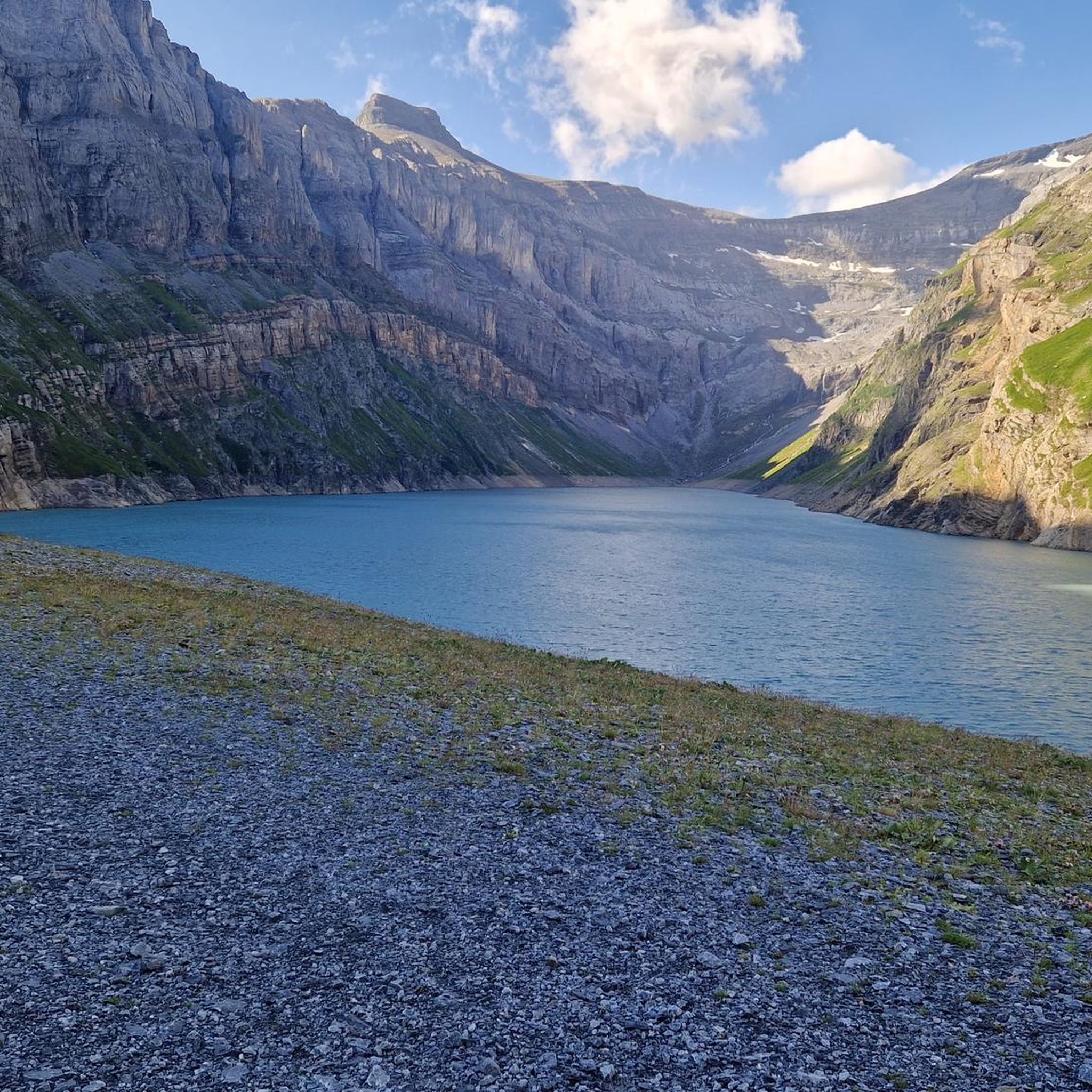
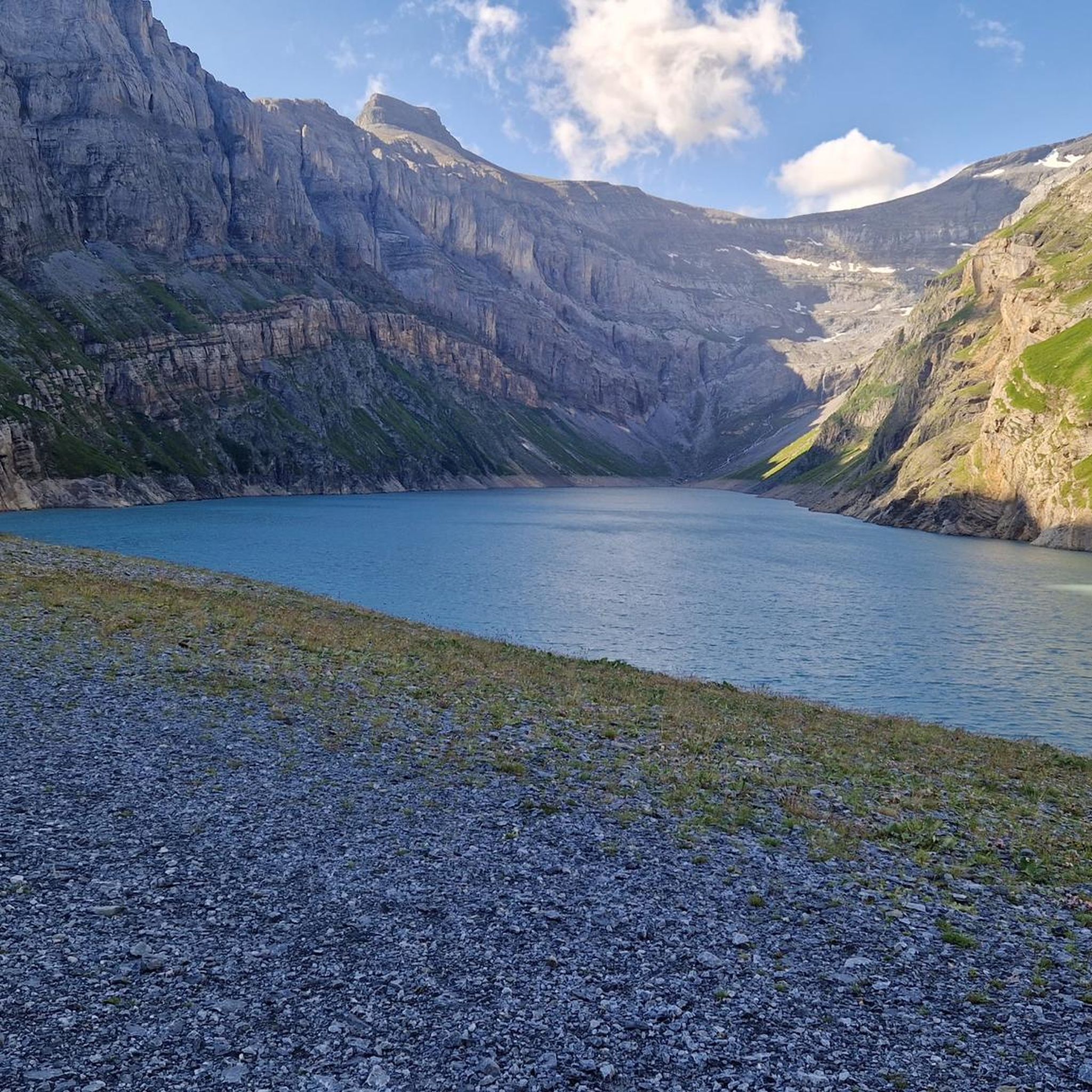
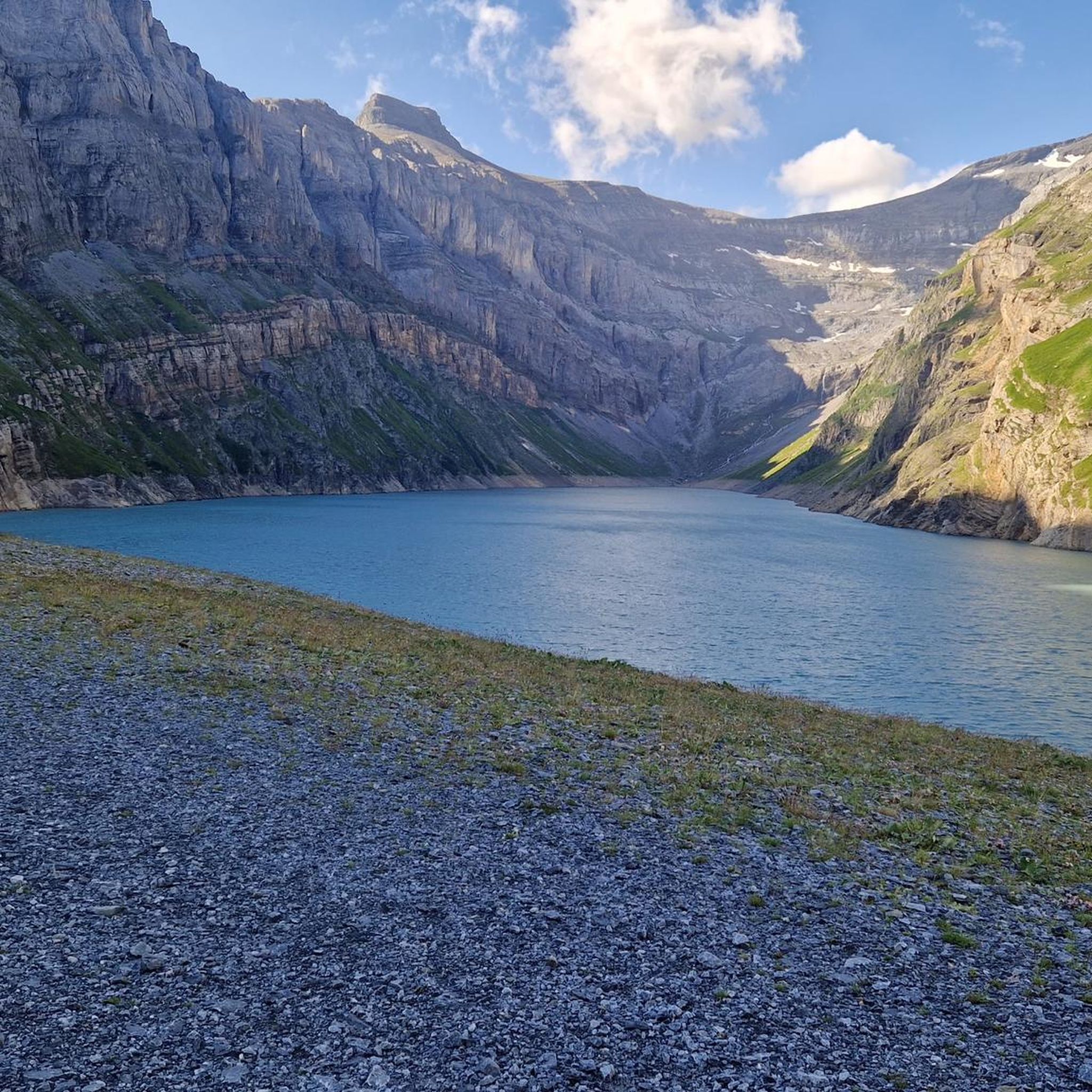
The Lag da Breil, or Brigelsersee in German, lies at around 1,255 m above sea level, directly above Brigels. The lake, approximately 500 meters long and up to 140 meters wide, was created as a reservoir in 1946 and is used for energy production. The lake is fed and drained by the Flem river. Despite its function as a reservoir, the Lag da Breil appears very idyllic and blends beautifully into the landscape around Brigels. A pleasant walking path leads all the way around the lake. Important: Swimming is not allowed in the reservoir.
0
0
The Lag da Breil, in German Brigelsersee, lies at around 1,255 m above sea level, directly above Brigels. The lake, approximately 500 meters long and up to 140 meters wide, was created as a reservoir in 1946 and is used for energy production. The Flem feeds and drains the lake. Despite its function as a reservoir, the Lag da Breil appears very idyllic and blends beautifully into the landscape around Brigels. A pleasant walking path leads all the way around the lake. Important: Swimming is not allowed in the reservoir.
0
0
Brigels, in Romansh Breil, lies on a sunny terrace at around 1,300 m above sea level and, with its old houses around the parish church, has certainly retained its original village character. However, I also noticed today that Brigels is significantly more tourist-oriented than I had expected. Numerous holiday apartments, hotels, and tourist facilities are located around the village. As a result, the place sometimes seems less quiet and original than one might expect from a mountain village. Nevertheless, Brigels is beautifully situated in terms of landscape and offers a good starting point for hikes in the Surselva.
0
0

Wonderful gravel section, almost entirely in the forest and very quiet. Nevertheless, easy to ride as there are hardly any climbs.
0
0
The Vorderrhein, as a young Rhine, is still a wild, impetuous mountain stream here and has the color of glacial water. Beautiful!
0
0

Nice cozy accommodation Chesa Prema with excellent food and breakfast
0
0

The rest of the "Old Town" doesn't need to be seen as it has too many architectural sins.
0
0

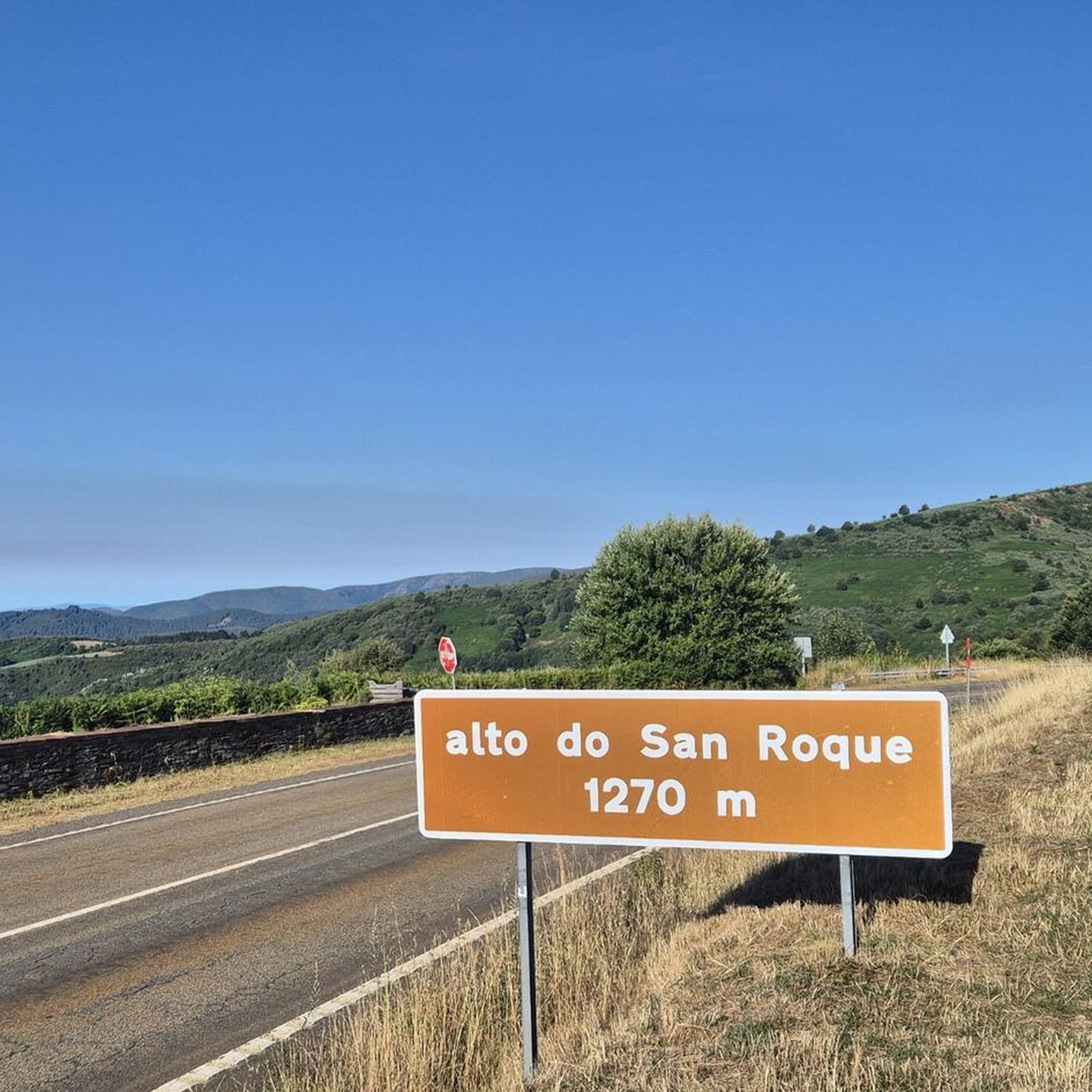
After the big climb to get to this village, we were very happy to find a public drinking fountain to fill up our water bottles!
0
0
Frequently Asked Questions
What is the general difficulty of gravel biking around Limmerensee?
Gravel biking in the Limmerensee region offers a mix of challenges. While all routes are categorized for mountain biking (easy), the terrain includes significant elevation changes, leading to routes often graded as difficult. For example, the Brigels – Waltensburg loop from Breil/Brigels features over 900 meters of elevation gain. There is also a moderate option, such as the Brigels Bella Vista trail.
Are there any longer gravel bike routes available in the Limmerensee area?
Yes, for those seeking longer rides, the Limmerensee region offers several options. The View of Disentis Abbey – Cavadiras Village and Church loop from Tavanasa-Breil/Brigels is a substantial 40.8 km (25.3 miles) route. Another excellent choice is the Bridge Over the Rhine – Paul Luziet Picnic Area loop from Trun, covering 32.3 km (20.1 miles).
Where can I find parking for gravel biking near Limmerensee?
Many gravel bike routes in the Limmerensee area start from villages like Breil/Brigels and Trun. These locations typically offer public parking facilities, making them convenient starting points for your rides. It's advisable to check local signage for specific parking regulations and availability upon arrival.
How accessible are Limmerensee's gravel trails by public transport?
The region around Limmerensee, including starting points like Breil/Brigels and Tavanasa-Breil/Brigels, is generally well-connected by public transport. This allows for flexible planning, whether you're looking to start a loop or embark on a point-to-point adventure. Check local train and bus schedules for the most up-to-date information.
Are there family-friendly gravel bike routes around Limmerensee?
While many routes feature significant elevation, the Brigels Bella Vista trail is a moderate 9.3 km (5.8 miles) option that could be suitable for families with some cycling experience. It offers elevated viewpoints without the most strenuous climbs found on other routes. Always consider the fitness level of all participants before setting out.
What are the best times of year for gravel biking in Limmerensee?
The Limmerensee region, with its alpine and valley landscapes, is generally best for gravel biking from late spring through early autumn. During these months, trails are typically free of snow, and the weather is more favorable for exploring the forested areas, open meadows, and scenic viewpoints. Always check local weather conditions before your ride.
What kind of scenery can I expect on gravel bike trails around Limmerensee?
Gravel biking around Limmerensee offers diverse scenery, characterized by its proximity to the Rhine river. You'll traverse forested areas, open meadows, and ascend to viewpoints overlooking picturesque villages like Brigels and Waltensburg. Routes often feature views of surrounding mountains and lakes, such as on the Lag da Breil / Brigels Lake – Lake Brigels loop from Breil/Brigels.
What do other gravel bikers enjoy most about gravel biking in Limmerensee?
The Limmerensee area is highly rated by the komoot community, with an average score of 5.0 stars from over 4 reviews. Reviewers often praise the varied terrain, which includes challenging climbs and scenic descents, as well as the beautiful alpine and valley landscapes. The connection to charming villages and the Rhine river also adds to the appeal.
Are there any circular gravel bike routes in the Limmerensee area?
Yes, many of the gravel bike routes around Limmerensee are designed as circular loops, offering convenient starting and ending points. Examples include the popular Brigels – Waltensburg loop from Breil/Brigels and the scenic Lag da Breil / Brigels Lake – Lake Brigels loop from Breil/Brigels.
What should I pack for a gravel biking trip to Limmerensee?
Given the varied terrain and elevation changes, it's essential to pack appropriately. We recommend bringing a repair kit, plenty of water, snacks, and layers of clothing suitable for changing weather conditions in alpine environments. A helmet is, of course, mandatory, and a GPS device or a loaded komoot tour on your phone is highly recommended for navigation.
Are there places to eat or drink near the gravel routes?
The gravel routes often connect through or pass near villages such as Breil/Brigels, Waltensburg, and Trun. These villages typically offer cafes, restaurants, or pubs where you can refuel and relax after your ride. It's a good idea to check opening hours, especially during off-peak seasons.
Most popular routes around Limmerensee

Get inspired with the komoot mobile app


Explore more
Browse the best Gravel rides in other regions.
