The best gravel rides around Embalse de El Vicario
4.0
(1)
23
riders
12
rides
Gravel bike trails Embalse de El Vicario offer diverse landscapes for cycling, centered around the reservoir in Ciudad Real, Castilla-La Mancha. The region features a mix of reservoir-side paths, Mediterranean scrubland, and agricultural fields, providing varied terrain suitable for gravel bikes. Cyclists can navigate well-maintained rural roads and unpaved sections, often incorporating historical elements like an old railway bridge. This area is also recognized for its significant wetland ecosystem, home to diverse birdlife.
Best gravel bike trails around Embalse de…
Last updated: May 21, 2026
2
riders
33.4km
02:37
160m
160m
Moderate gravel ride. Good fitness required. Mostly paved surfaces. Suitable for all skill levels.
2
riders
24.1km
01:42
100m
100m
Easy gravel ride. Great for any fitness level. Mostly paved surfaces. Suitable for all skill levels.

Sign up for free
3
riders
Easy gravel ride. Great for any fitness level. Mostly paved surfaces. Suitable for all skill levels.
2
riders
Moderate gravel ride. Good fitness required. Mostly paved surfaces. Suitable for all skill levels.
2
riders
56.6km
04:16
310m
310m
Moderate gravel ride. Good fitness required. Mostly paved surfaces. Suitable for all skill levels.
Get access to more routes and recommendations from other explorers.
Sign up for free
Already have an account?
Our route recommendations are based on thousands of hikes, rides, and runs completed by other people on komoot.
Start today with a free account
Your next adventure awaits.
Login or Signup
Tips from the Community

Homage to Our Lady of the Atalaya. Located halfway between the Antennas and the Mirador.
0
0
Picnic areas next to the water tanks. Plenty of picnic tables in the shade.
1
0
Beautiful views from here, of the golf course, where today's rains have caused the ponds to fill with water.
2
0

A good place to rest after the climb. The La Atalaya Forest Park in Ciudad Real has several playgrounds and picnic areas that are perfect for enjoying with family or friends. In addition, the park offers a very pleasant natural environment with hiking trails and sports areas. It is a perfect place to spend a full day surrounded by nature.
23
0
The Iron Bridge over the Guadiana River, also known as the Austrias Bridge, is a significant engineering work in the history of Ciudad Real and the region of Castilla-La Mancha. It was built to be part of the railway line that connected Ciudad Real with Badajoz, being an important route for transport and communication in the first half of the 20th century. The construction of the bridge began in 1921 and was completed in 1927. Its design and construction were carried out by the company Material para Ferrocarriles y Construcciones S.A., which used advanced techniques for the time. The bridge is made up of an iron metal structure, supported by masonry pillars, which gives it its characteristic name. During the Spanish Civil War, the bridge played a strategic role and was damaged due to its importance for the movement of troops and supplies. It was later repaired and continued in use until the railway line was decommissioned in the 1960s. Today, the Iron Bridge is a protected monument and a testament to the region's industrial heritage. It is a popular place for walks and hiking trails, allowing visitors to appreciate both its historical value and the natural views of the Guadiana River and its surroundings.
17
0
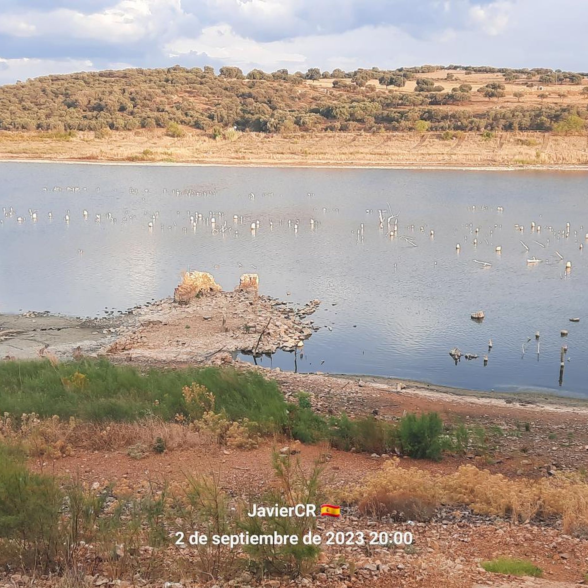
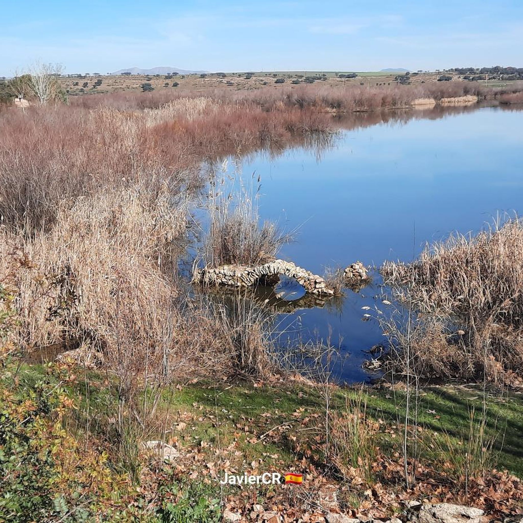
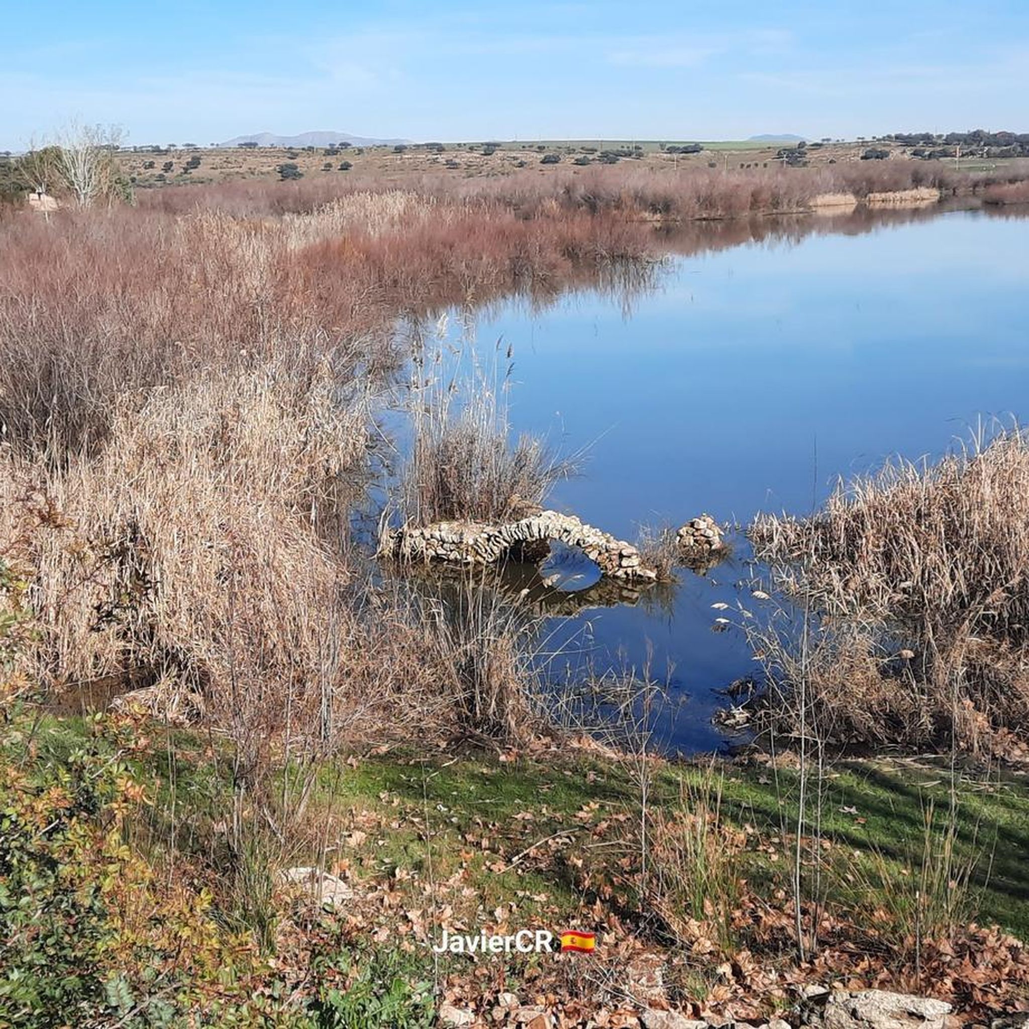
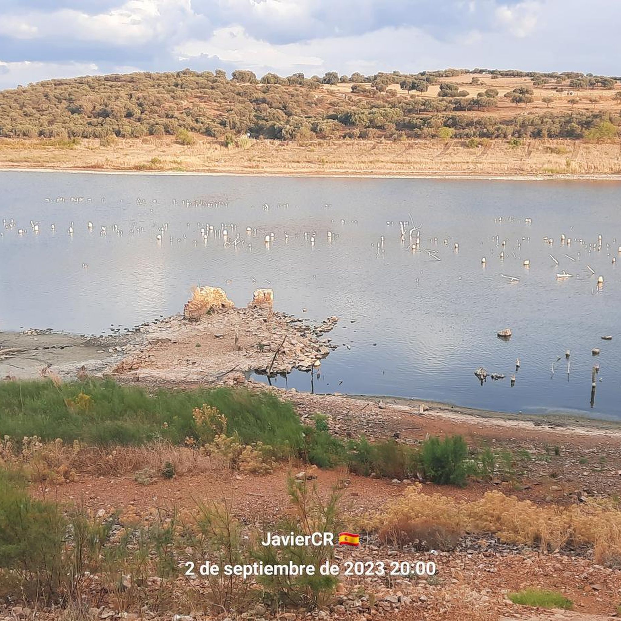
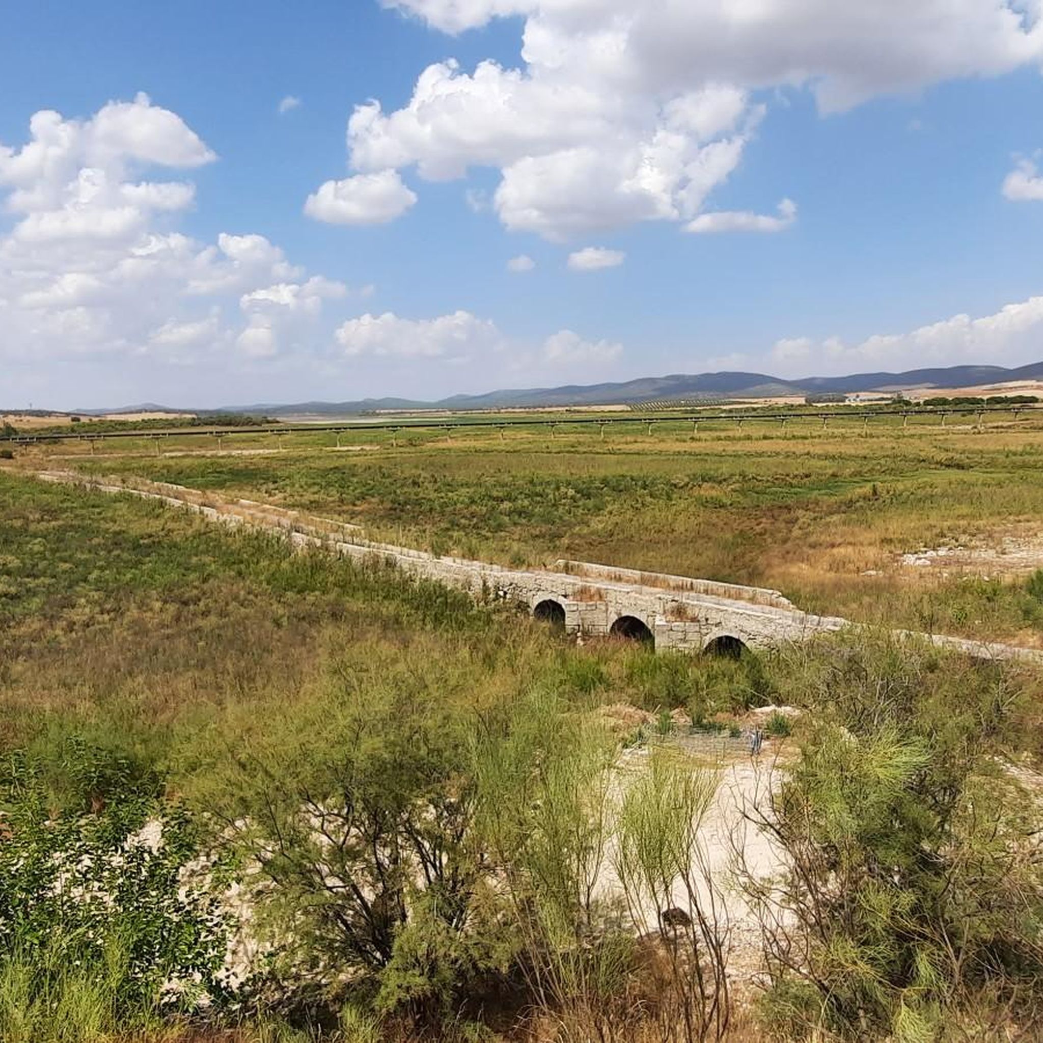
The Malvecinos bridge is located in the northwestern quadrant of the municipality of Carrión de Calatrava, at km 6,500 of the CR-211 provincial highway that goes from Carrión to Fernán Caballero. Since the Middle Ages, its dam-bridge was one of the most notable historical passages of the Guadiana River in this area, forming part of the route of the Cañada Real de la Plata. Unfortunately, its current state is critical due to the uncontrolled growth of vegetation, which has made urgent intervention necessary for its conservation and to avoid its ruin. The Tablas de Calatrava Naturalist Association has promoted a rehabilitation project in four phases to preserve this historical heritage. We hope that this unique enclave in Alto Guadiana can be protected and restored! 🌉🌿
18
0
Ruins next to the road junction that takes us to Cerro de San Cristobal on the left. To the right would take us to Carrión de Calatrava. All facing the Malvecinos Bridge.
36
0
In 1941, the nationalization of the Iberian gauge network meant that the facilities became dependent on the newly created RENFE. During the 1970s, the route was electrified and entered service on November 28, 1975. Over time, the original Miguelturra station was demolished and replaced by a new facility dedicated to logistics functions, without passenger service.
18
0
Frequently Asked Questions
How many gravel bike trails are available around Embalse de El Vicario?
There are over 10 gravel bike trails available around Embalse de El Vicario. These routes offer a diverse range of experiences, from easy paths suitable for beginners to more moderate challenges.
What are the difficulty levels of the gravel bike routes in this area?
The gravel bike routes around Embalse de El Vicario are primarily easy to moderate. You'll find 3 easy routes, perfect for a relaxed ride, and 9 moderate routes that offer a bit more challenge. There are no difficult routes listed, making it accessible for a wide range of cyclists.
Are there any family-friendly gravel biking options near Embalse de El Vicario?
Yes, several routes are suitable for families, especially the easy ones. For instance, the Mines on the Arzollar trail – Stork nests loop from Ciudad Real is an easy 14.9-mile (24.1 km) path that explores a natural, wetland-influenced landscape, which can be enjoyable for all ages.
What kind of landscapes and natural features can I expect to see on these trails?
You'll experience a rich variety of landscapes, including reservoir-side paths, typical Mediterranean scrubland, and agricultural fields. The area is also a significant wetland ecosystem, offering opportunities for birdwatching, especially around the Peralvillo area. You might spot common coots, flamingos, and various duck species.
Are there any historical landmarks or points of interest along the gravel routes?
Absolutely. A notable historical highlight is the Iron Bridge over the Guadiana River, an old railway bridge converted into a greenway. You can also pass through Peralvillo, a small village with the 18th-century Ermita de San Marcos.
Where can I find refreshments or amenities near the gravel trails?
The village of Peralvillo, located near the reservoir, offers cafes where you can stop for refreshments. It's a convenient spot to take a break during your ride.
What do other gravel bikers enjoy most about cycling in Embalse de El Vicario?
The area is highly rated by the komoot community, with an average score of 4.0 stars. Reviewers often praise the diverse terrain, the scenic backdrop of the reservoir, and the well-maintained paths that cater to gravel biking. The combination of natural beauty and varied trails provides an engaging experience.
Are there any circular gravel routes available?
Yes, many of the routes are designed as loops. For example, the popular Crossroads – Malvecinos Bridge loop from Ciudad Real is a moderate 20.3-mile (32.7 km) trail that takes you through rural roads and past the historic Malvecinos Bridge.
What is the longest gravel bike route in the area?
One of the longer options is the All-terrain bike circuit – Malas Tardes Greenway loop from Ciudad Real central, which spans approximately 35.2 miles (56.6 km). This moderate route offers a substantial ride through varied terrain.
Are there good viewpoints along the gravel trails?
Yes, the area offers several scenic spots. The Isla Viewpoint provides excellent vistas of the reservoir. Additionally, routes like the Faculty of Medicine – Antennas of La Atalaya loop from Ciudad Real central lead towards elevated areas that offer panoramic views.
Can I find parking easily for the gravel bike trails?
While specific parking areas aren't detailed for every trail, many routes start from Ciudad Real, where public parking options are generally available. For routes closer to the reservoir, look for designated parking near key access points or villages like Peralvillo.
What is the best time of year to go gravel biking around Embalse de El Vicario?
The region experiences a Mediterranean climate, making spring and autumn ideal for gravel biking with milder temperatures. Summers can be hot, and while winters are generally mild, checking local weather conditions is always recommended for the most comfortable ride.
Most popular routes around Embalse de El Vicario
Most popular attractions around Embalse de El Vicario

Get inspired with the komoot mobile app


Explore more
Browse the best Gravel rides in other regions.
