The best gravel rides around Espacio Natural de la Sierra de la Demanda
5.0
(3)
103
riders
30
rides
Gravel biking around Espacio Natural de la Sierra de la Demanda offers routes through varied terrain, characterized by mountain ranges, dense forests, and river valleys. The region features significant elevation changes, with trails often traversing hills and offering views of the surrounding natural landscape. Riders can expect a mix of forest tracks, gravel roads, and some paved sections connecting different areas. The geology includes ancient rock formations and diverse ecosystems, providing a dynamic backdrop for gravel cycling.
Best gravel bike…
Last updated: October 6, 2026
6
riders
Moderate gravel ride. Good fitness required. Mostly paved surfaces. Suitable for all skill levels.
8
riders
52.7km
05:10
1,230m
1,230m
Hard gravel ride. Very good fitness required. Mostly paved surfaces. Suitable for all skill levels.

6
riders
20.1km
01:39
210m
210m
Moderate gravel ride. Good fitness required. Mostly paved surfaces. Suitable for all skill levels.
5.0
(1)
10
riders
65.4km
06:49
1,740m
1,740m
Hard gravel ride. Very good fitness required. Mostly paved surfaces. Suitable for all skill levels.
2
riders
69.4km
06:49
1,870m
1,870m
Hard gravel ride. Very good fitness required. Some segments of this route may be unpaved and difficult to ride.
Get access to more routes and recommendations from other explorers.
Already have an account?
Our route recommendations are based on thousands of hikes, rides, and runs completed by other people on komoot.
Start today with a free account
Your next adventure awaits.
Popular around Espacio Natural de la Sierra de la Demanda
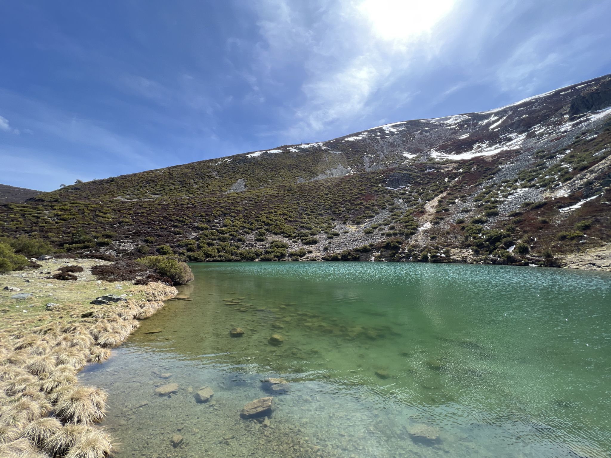
Discover the unknown Burgos - Dos Aguas Trail (GR 290)
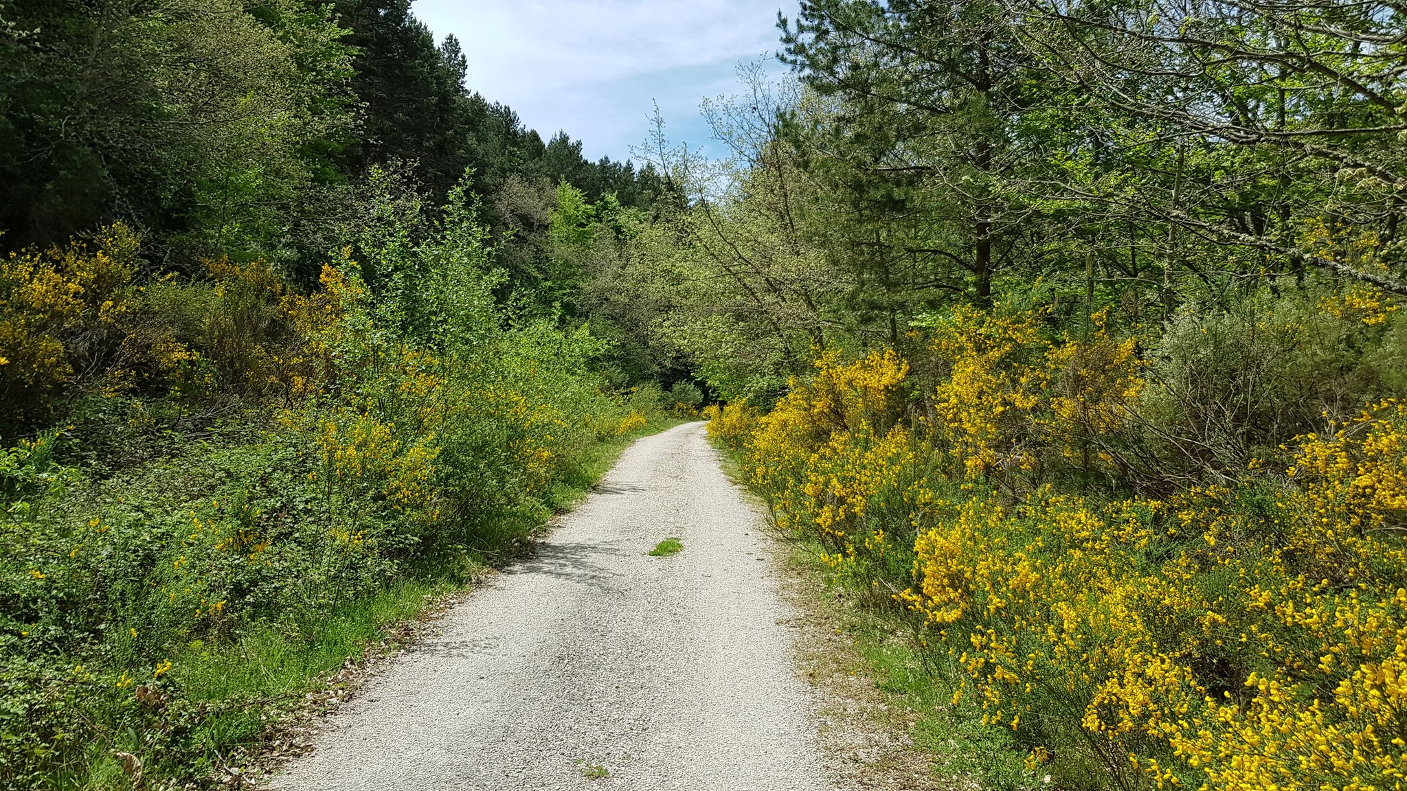
A journey into the past - Vía Verde de la Sierra de la Demanda
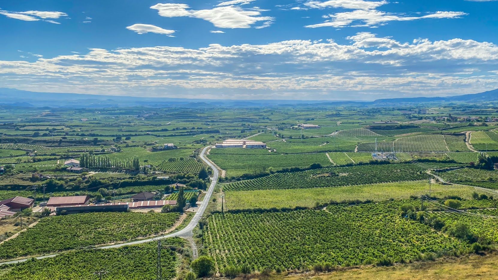
Endless asphalt between La Rioja’s vineyards – Spain’s Ruta del Vino
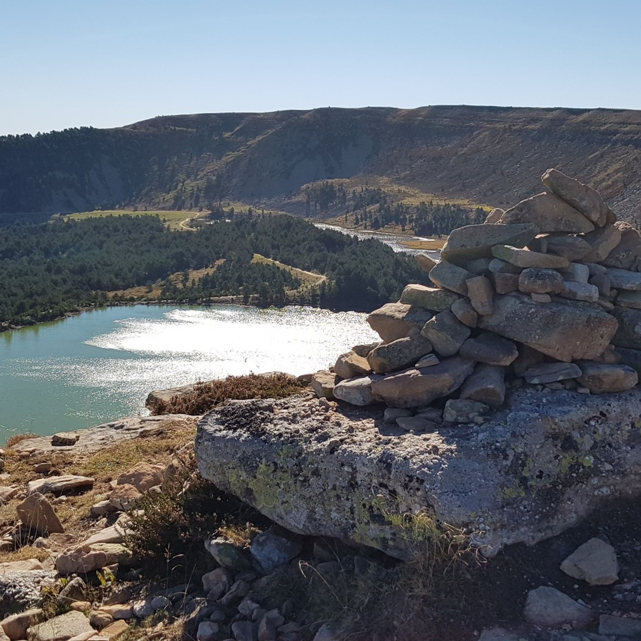
Hiking around Espacio Natural de la Sierra de la Demanda
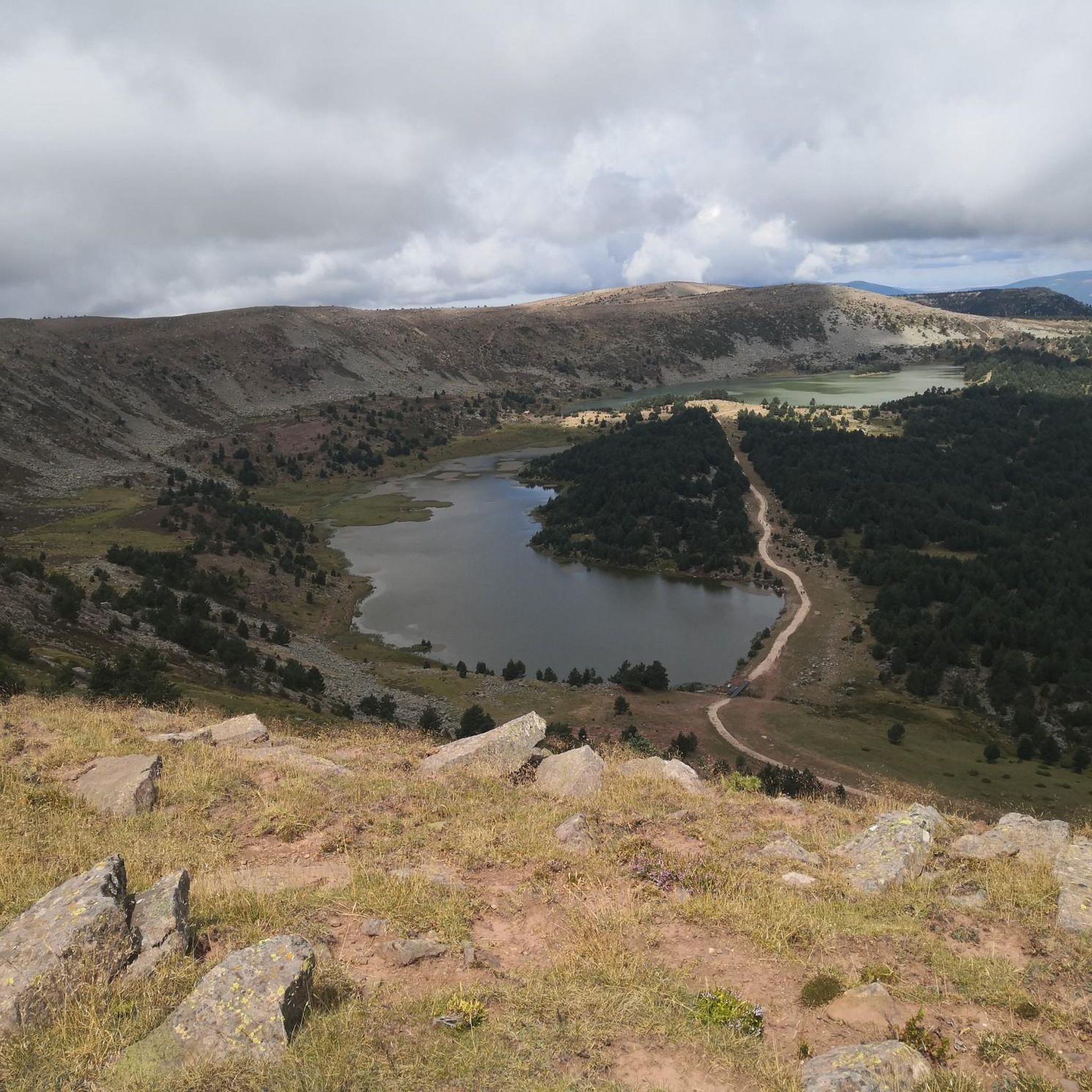
Running Trails around Espacio Natural de la Sierra de la Demanda
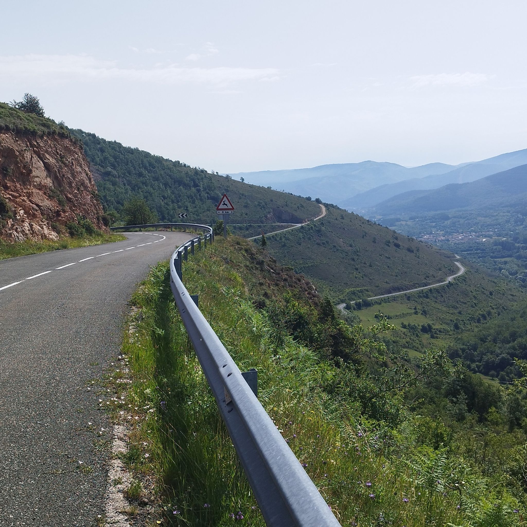
Road Cycling Routes around Espacio Natural de la Sierra de la Demanda
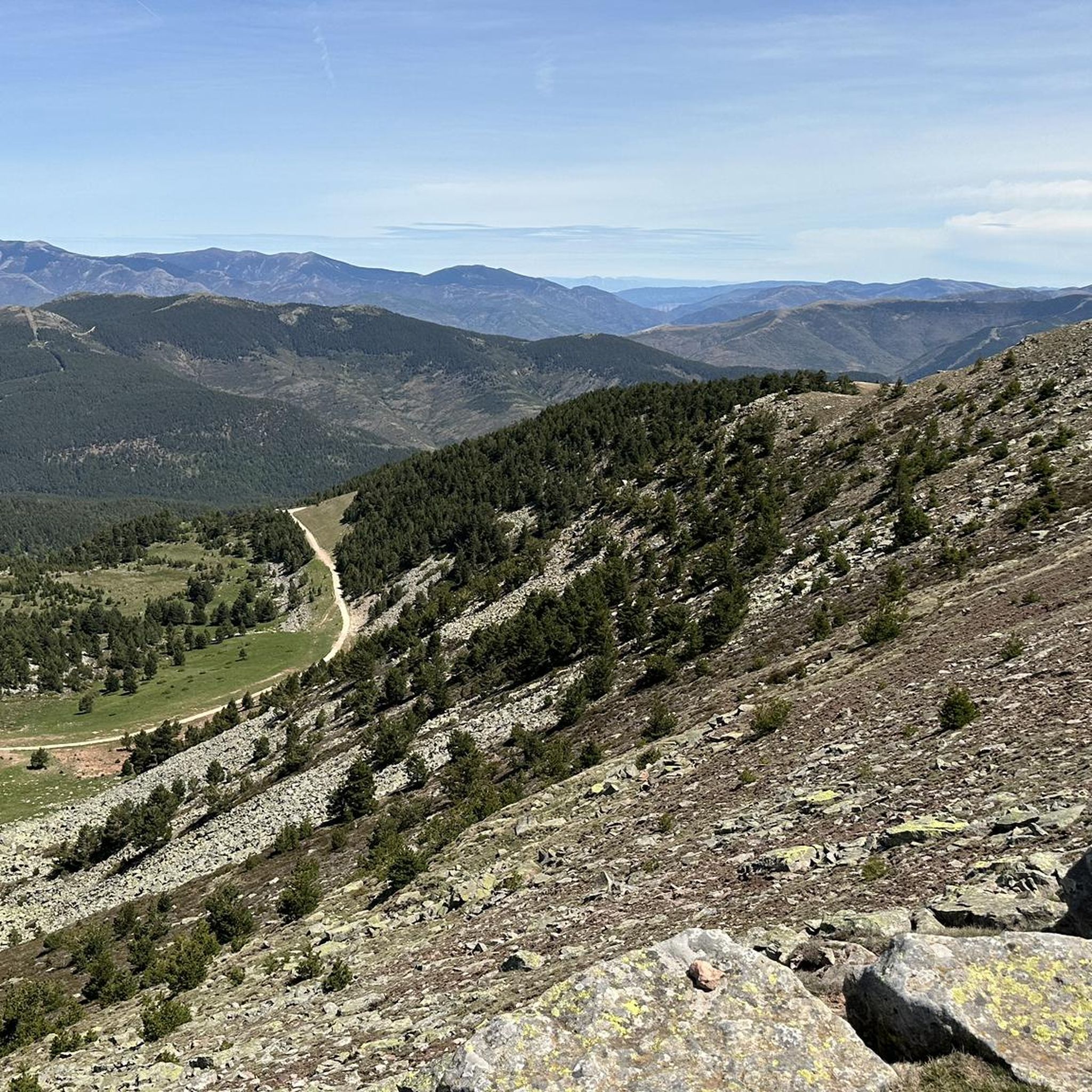
Cycling around Espacio Natural de la Sierra de la Demanda
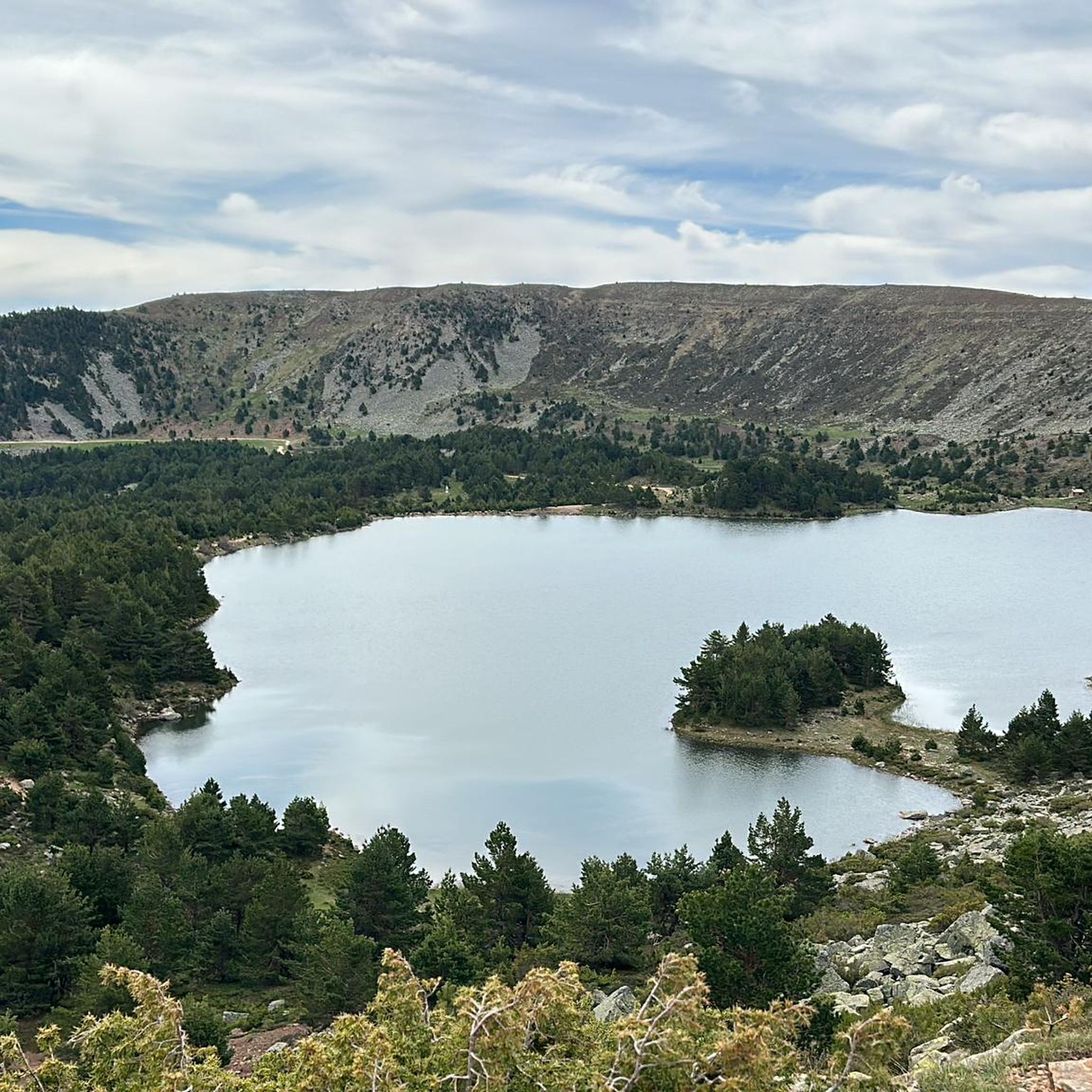
MTB Trails around Espacio Natural de la Sierra de la Demanda

Mountain Hikes around Espacio Natural de la Sierra de la Demanda
Other adventures around Espacio Natural de la Sierra de la Demanda


Tips from the Community

it is spectacular, for walking peacefully
0
0

Spectacular area for hiking routes
0
1
Spectacular area for hiking routes
0
0

Stage 2. Duruelo de la Sierra/Soria 69 kilometers. 510 meters of elevation gain. Duruelo has hotels, restaurants, and grocery stores. It is the town where the Duero River originates at the foot of the Urbión Peaks. The Senda del Duero Nature Trail begins at Fuentes del Duero, where the river officially originates, at an altitude of 2,100 meters, a landscape of crushed granite shaped by the fierceness of the high mountains. The route leaves the town along the Senda del Duero. The posts are located at a cattle gate, and there are hiking and mountain bike trail signs in several directions. The path is also marked with the red and white stripes of the GR-14 trail. It crosses a small, inconspicuous slope on a grassy slope and descends some steps to the fantastic path that runs along the riverbank—the perfect way to start this cycle tour. The river path is about seven kilometers long, with the tricky sections at the end, where rain and flooding have stripped the road bare, requiring careful adjustment to squeeze gravel tires between the stones. There's also a short stretch of stairs that isn't suitable for cycling. The path passes over the Soria Bridge (17th century) and climbs the slopes of Mount Peña Rubia, far from the river. It's the longest and steepest climb of the cycling day. The end is impossible; the path is ridden with roots and rills from runoff, but it only takes a few minutes. Soon, the forest track appears, descending at full speed to Molinos de Duero, another iconic village of pine-forest architecture with its May pine tree in the square and a landmark for road cycling. The red markers of the Duero Path pass under the road and continue toward Vinuesa along the route of an ancient Roman road, which is quite difficult for gravel bikes due to the poor condition of the surface. The comfortable option for bicycles with panniers is the road. Vinuesa is a good place to grab a snack, a section of a branch of the Cañada Real Segoviana (Royal Segovian Trail) that reaches from the Cameros region of Rioja via the Puerto de Santa Inés. The pines of the Revinuesa Valley are magnificent; they have always been renowned for their high-quality wood and their proud, solemn bearing. For centuries, they have shaped the economic pulse of forest resources in the Pinares region.
0
0
A curious large stone, it moves but cannot be dragged.
0
0
Nice area for outdoor activities.
0
0
Nice area for mountain biking
0
0
Frequently Asked Questions
How many gravel bike trails are available in Espacio Natural de la Sierra de la Demanda?
There are over 20 gravel bike trails in Espacio Natural de la Sierra de la Demanda, offering a diverse range of experiences. These routes are highly rated by the komoot community, with an average score of 4.2 stars.
Are there any easy gravel bike trails suitable for beginners or families?
While there are no routes specifically graded as 'easy' in our current selection, there are 5 moderate trails that could be suitable for beginners with some experience or families looking for a less strenuous ride. One such option is the Arlanzón Reservoir – Sierra de la Demanda Greenway loop from Pineda de la Sierra, which follows a greenway and offers scenic views.
What are some challenging gravel bike routes in the region?
For experienced gravel bikers seeking a challenge, Espacio Natural de la Sierra de la Demanda offers 18 difficult routes. A notable option is the Mymerak gravel routes to the roof of La Rioja, which features significant elevation gain and covers nearly 70 km.
Are there any circular gravel bike routes in Espacio Natural de la Sierra de la Demanda?
Yes, many of the gravel bike routes in the region are circular, allowing you to start and finish at the same point. A popular choice is the Circular gravel of the Sierra de la Demanda, a 65 km trail that showcases the diverse landscapes of the area.
What kind of natural landmarks or viewpoints can I expect to see along the trails?
The trails often lead through areas with stunning natural beauty and offer panoramic viewpoints. You might encounter mountain passes like Puerto del Manquillo or Cruz de la Demanda Pass, which provide expansive views of the Sierra. Summits such as San Millán (2,131 m) are also prominent features in the landscape.
What is the best season for gravel biking in Espacio Natural de la Sierra de la Demanda?
The best seasons for gravel biking are typically spring and autumn, when temperatures are milder and the natural scenery is vibrant. Summer can also be enjoyable, especially at higher elevations, but be prepared for warmer conditions. Winter riding is possible, but some higher passes may be inaccessible due to snow, and weather conditions can be more unpredictable.
Where can I find parking near the gravel bike routes?
Many routes start from villages or designated parking areas within the natural park. For example, routes like the Pineda de la Sierra – Puerto del Manquillo loop often have starting points in towns like Villasur de Herreros, where public parking is usually available. It's advisable to check the specific tour details on komoot for recommended starting points and parking information.
Are there any less crowded gravel bike trails for a more tranquil experience?
While popular routes can see more traffic, the vast network of trails in Espacio Natural de la Sierra de la Demanda means it's often possible to find quieter paths, especially on weekdays or by exploring less-trafficked sections. Look for routes that venture deeper into the forest tracks away from main access points for a more serene ride.
What do other gravel bikers enjoy most about riding in Espacio Natural de la Sierra de la Demanda?
The komoot community highly rates the gravel biking experience here, with an average score of 4.2 stars. Reviewers often praise the region's diverse terrain, from dense forests to open mountain views, and the sense of adventure offered by its challenging climbs and rewarding descents. The well-maintained gravel roads and natural beauty are frequently highlighted.
Can I find cafes or places to refuel along the gravel bike routes?
Many gravel routes pass through or near small villages where you can find local cafes, bars, or small shops to refuel and rest. It's always a good idea to plan your route and check for amenities in advance, especially on longer or more remote trails, and carry sufficient water and snacks.
Are there any routes that offer views of the Arlanzón Reservoir?
Yes, the Arlanzón Reservoir – Sierra de la Demanda Greenway loop from Pineda de la Sierra is an excellent option for riders who wish to enjoy views of the Arlanzón Reservoir. This moderate route follows a greenway, providing picturesque scenery along the water.
Most popular routes around Espacio Natural de la Sierra de la Demanda
Most popular attractions around Espacio Natural de la Sierra de la Demanda

Get inspired with the komoot mobile app


Explore more
Browse the best Gravel rides in other regions.
