The best gravel rides around the Vistula
4.6
(344)
3,503
riders
314
rides
Gravel biking around the Vistula offers diverse terrain along Poland's longest river, from its river valleys to coastal areas. The region features extensive forest paths, urban green corridors, and sections of the Vistula Cycle Route. Landscapes vary from the flat, sandy areas of the Vistula Spit and Lagoon to riverside parks and nature reserves. The Vistula's course provides varied gravel biking opportunities across different environments.
Best gravel bike trails around the Vistula
- The most popular gravel bike trail is Szutry…
Last updated: November 3, 2026
4.8
(39)
383
riders
42.1km
02:25
100m
100m
Moderate gravel ride. Good fitness required. Mostly paved surfaces.
5.0
(7)
119
riders
Easy gravel ride. Mostly paved surfaces.

4.8
(11)
78
riders
46.4km
03:20
1,050m
1,050m
Hard gravel ride. Very good fitness required. Mostly paved surfaces.
4.8
(6)
45
riders
88.3km
05:42
350m
350m
Hard gravel ride. Very good fitness required. Mostly paved surfaces.
4.8
(4)
65
riders
28.1km
01:25
50m
50m
Easy gravel ride. Mostly paved surfaces.
4.8
(8)
87
riders
Moderate gravel ride. Good fitness required. Mostly paved surfaces.
4.7
(3)
25
riders
61.9km
03:55
170m
170m
Hard gravel ride. Good fitness required. You may need to push your bike for some segments of this route.
4.9
(9)
36
riders
Hard gravel ride. Very good fitness required. Mostly paved surfaces.
4.5
(2)
42
riders
88.7km
05:49
1,500m
1,500m
Hard gravel ride. Very good fitness required. Mostly paved surfaces.
3.5
(4)
55
riders
Easy gravel ride. Mostly paved surfaces.
Get access to more routes and recommendations from other explorers.
Already have an account?
Our route recommendations are based on thousands of hikes, rides, and runs completed by other people on komoot.
Start today with a free account
Your next adventure awaits.
Popular around Vistula
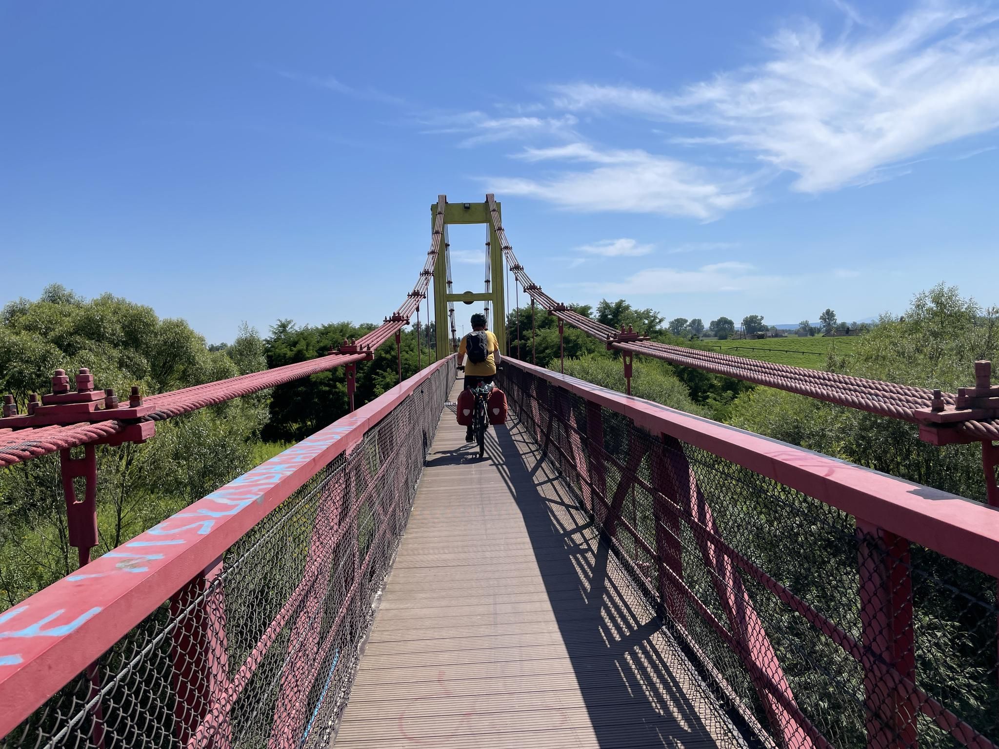
EuroVelo 4 (section in Poland) – Wonderful Vistula river vibes and historic Polish cities
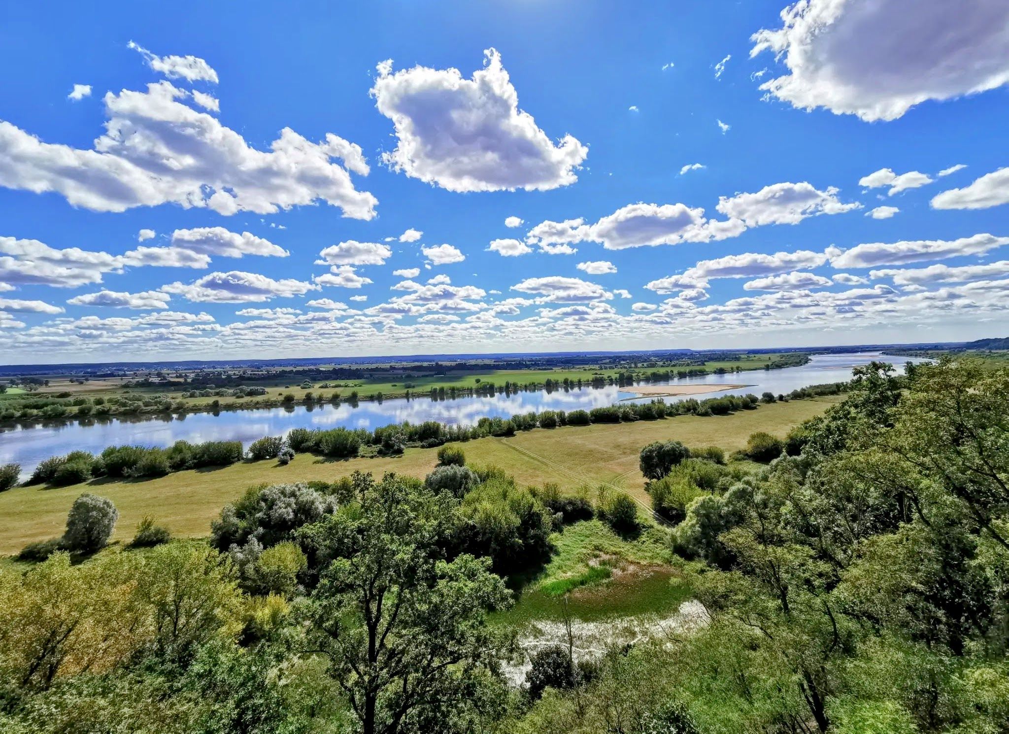
Vistula Cycle Route – The Queen of Polish Rivers in the Spotlight
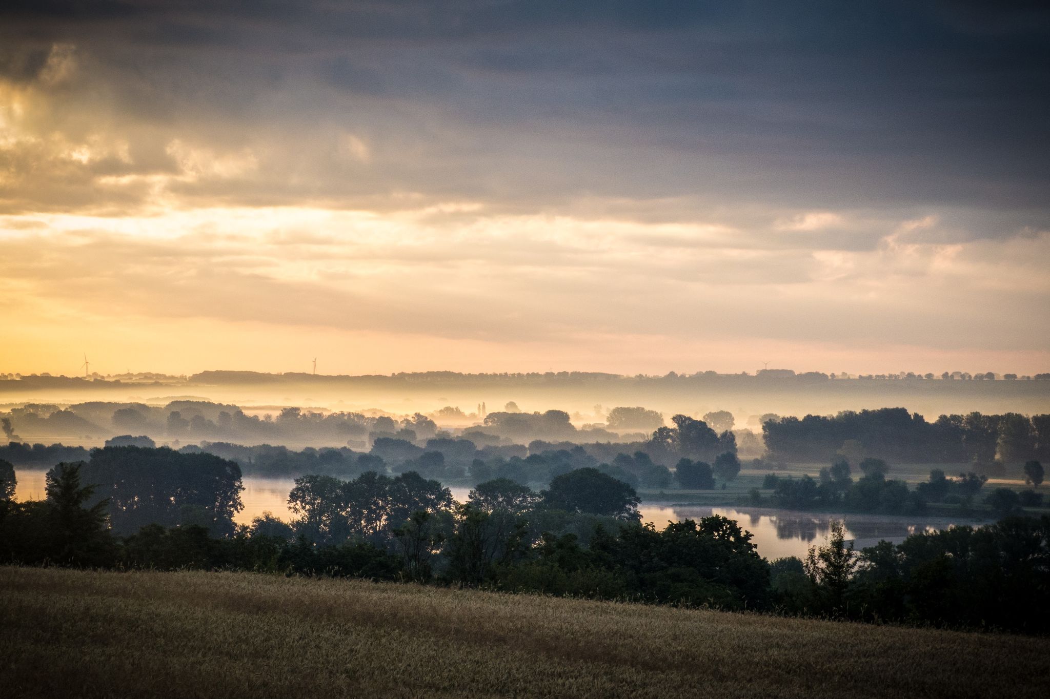
EuroVelo 9 – The Amber Route from the Baltic to Adriatic Sea
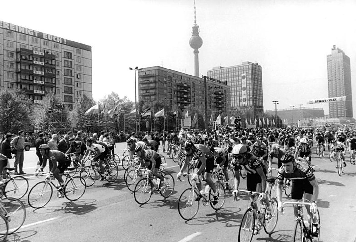
From Warsaw to Berlin — in the footsteps of the Peace Race part 1
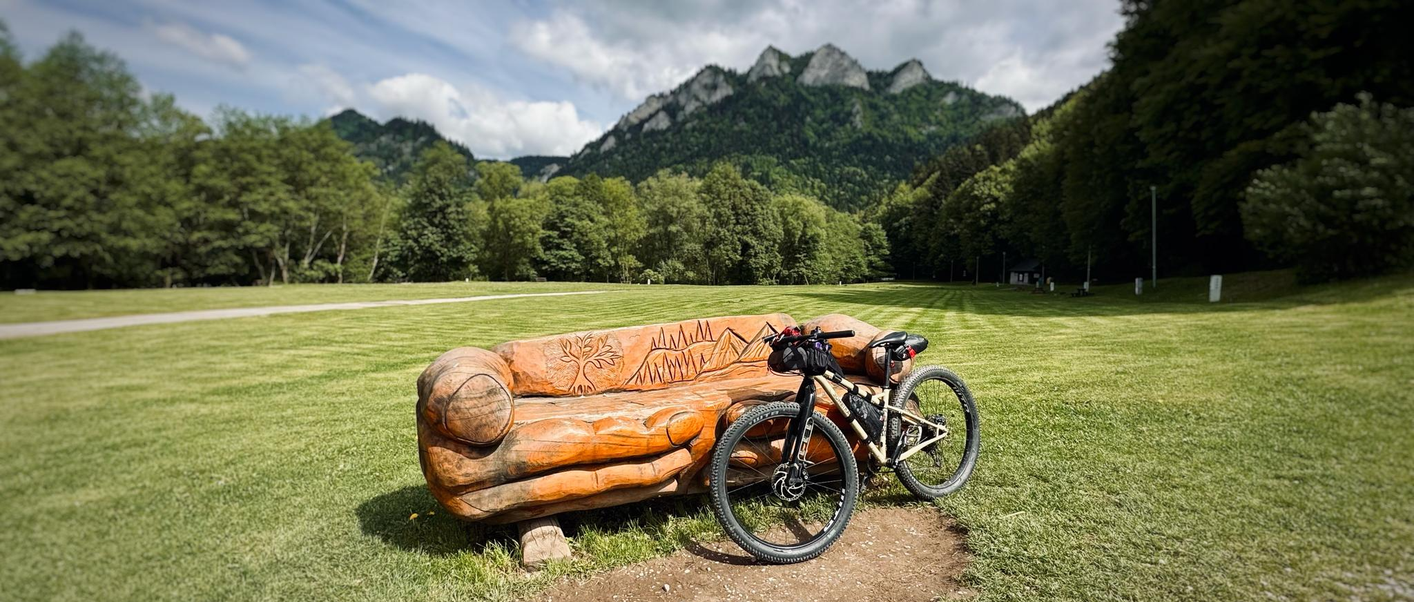
Between the Vistula & the High Tatras – bikepacking through Małopolska
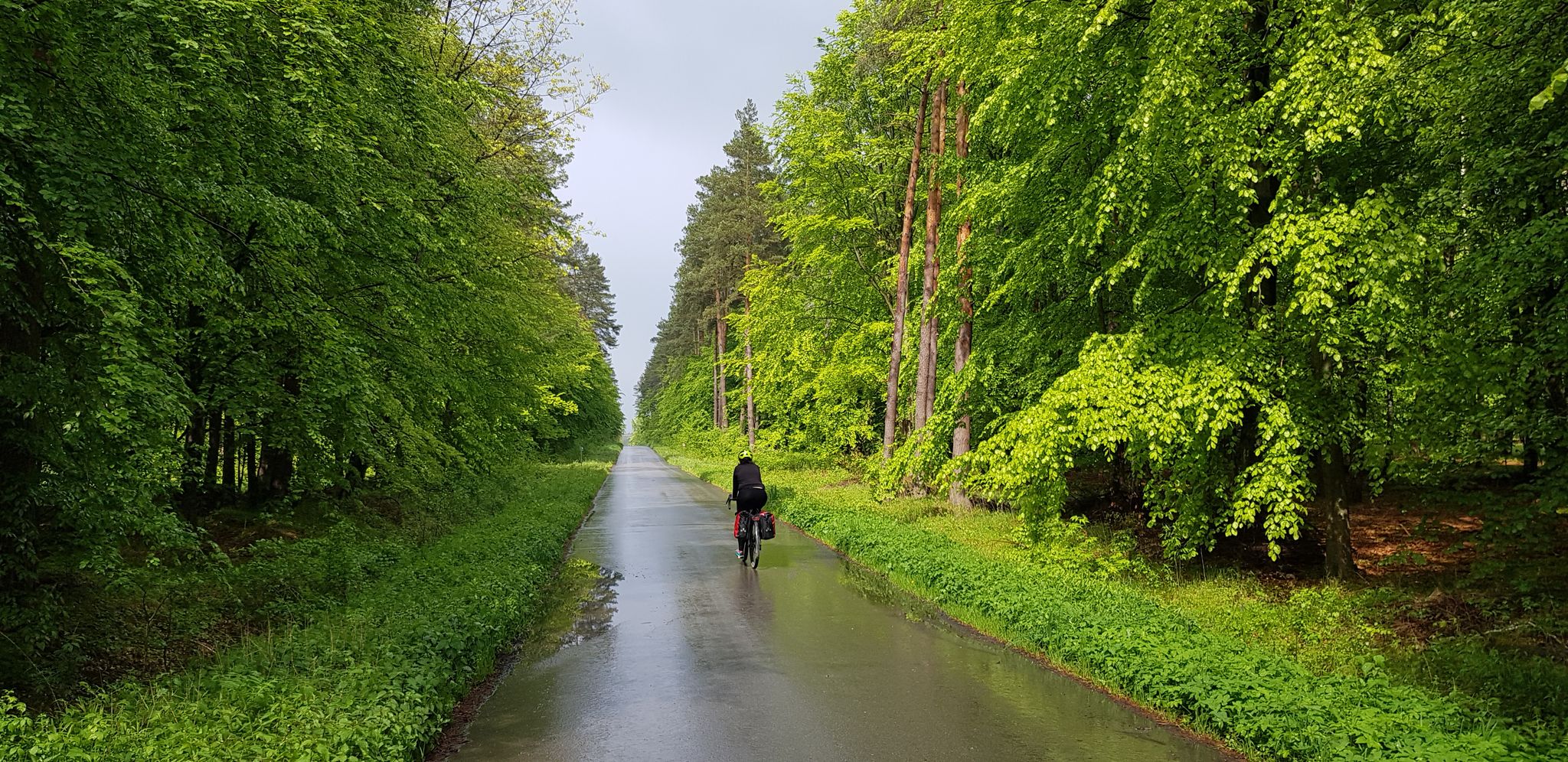
To the east, Eden – La Green Velo Szlak (part one)
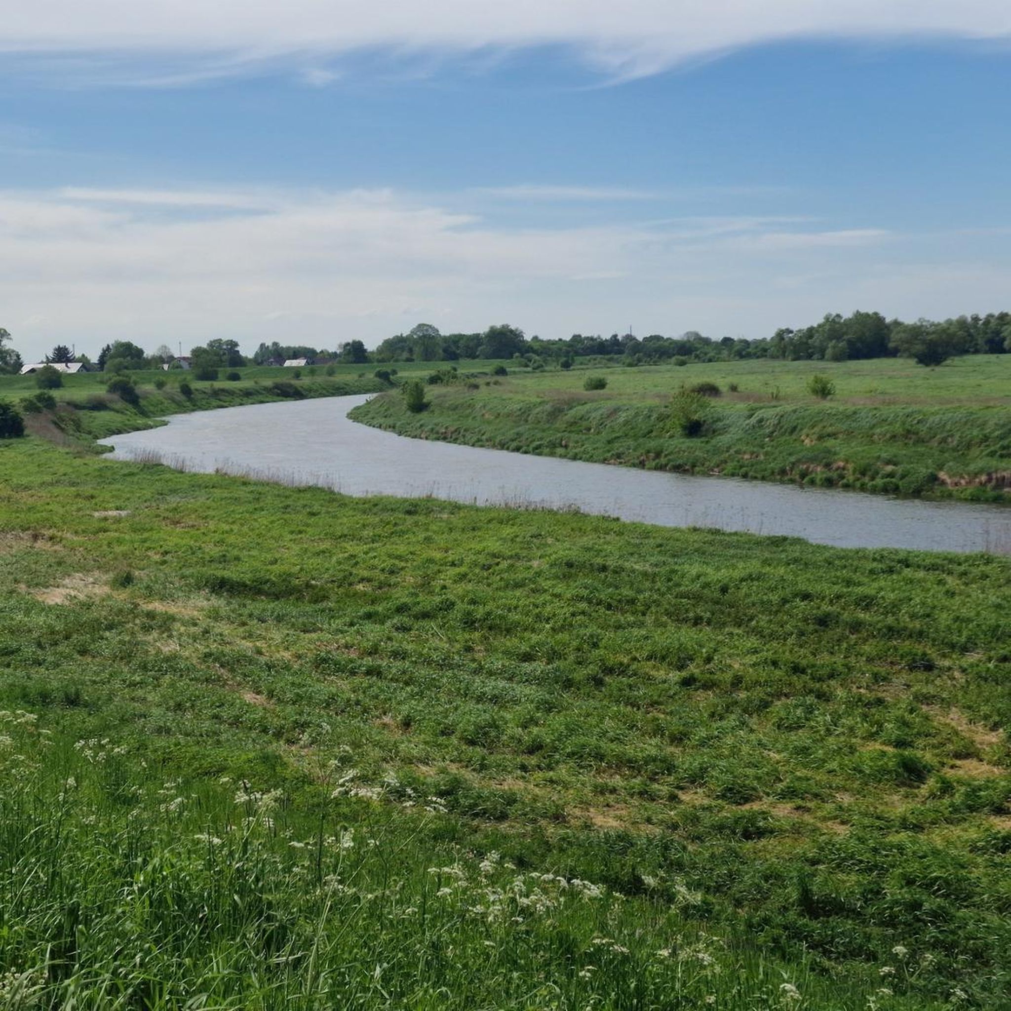
Hiking around the Vistula
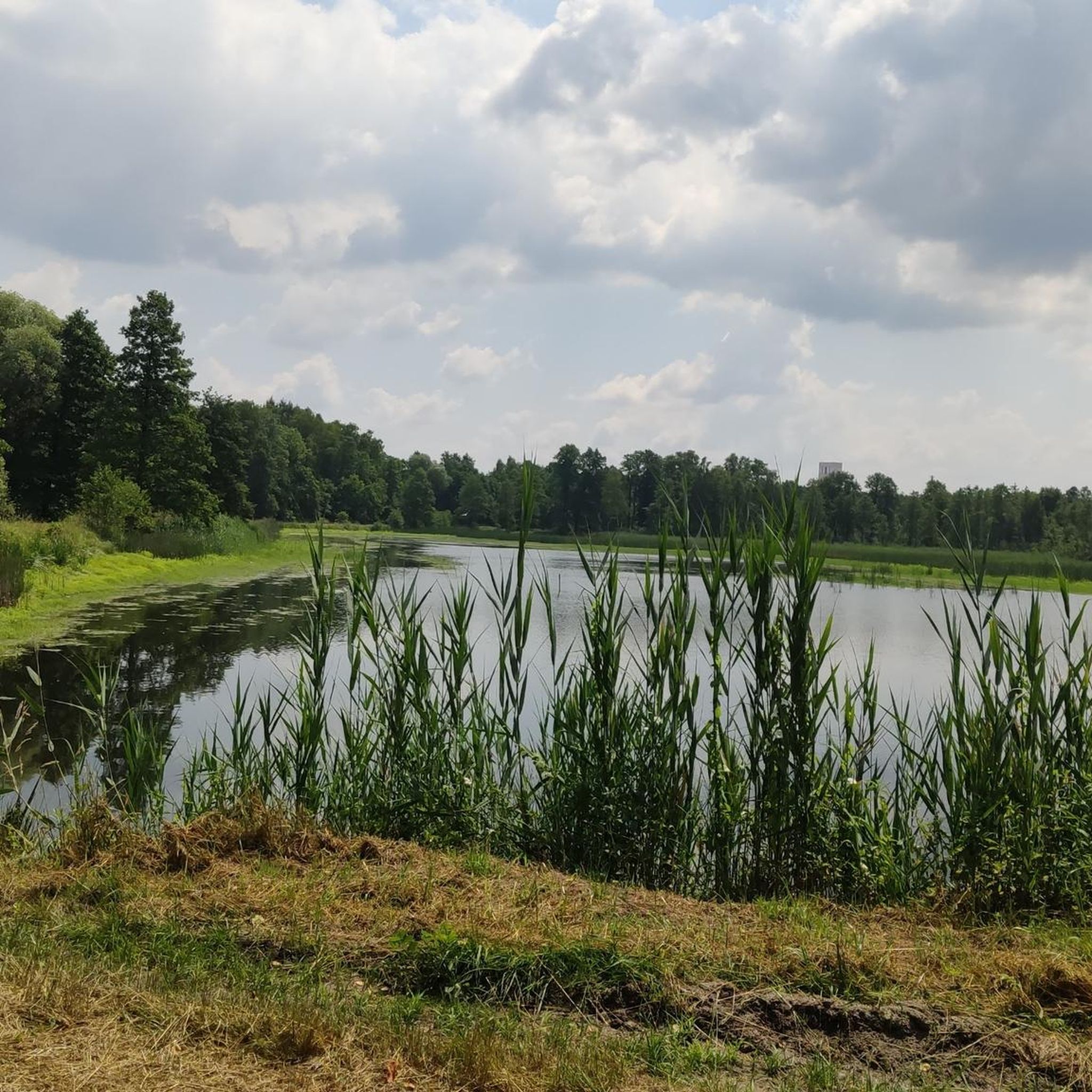
Running Trails around the Vistula
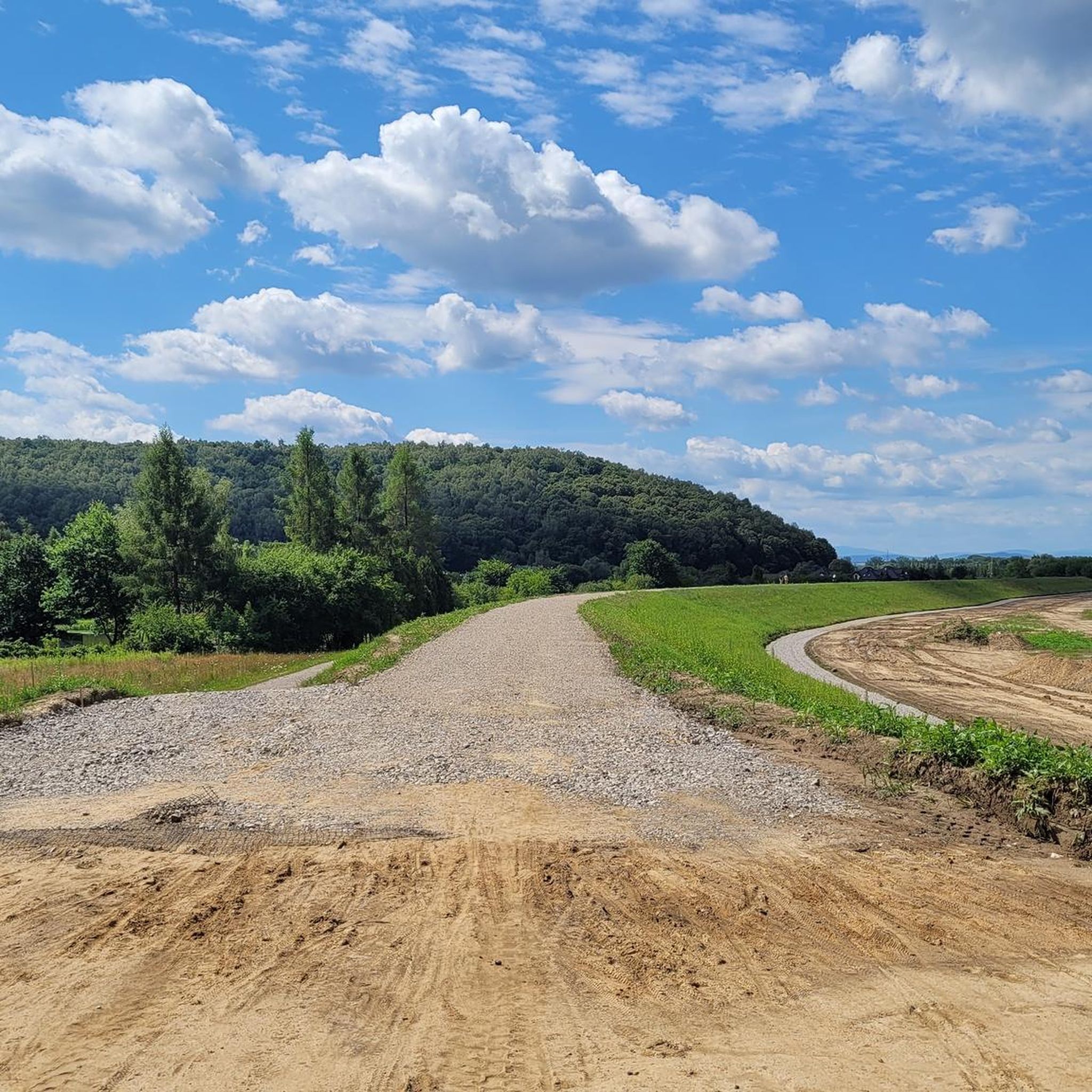
Cycling around the Vistula
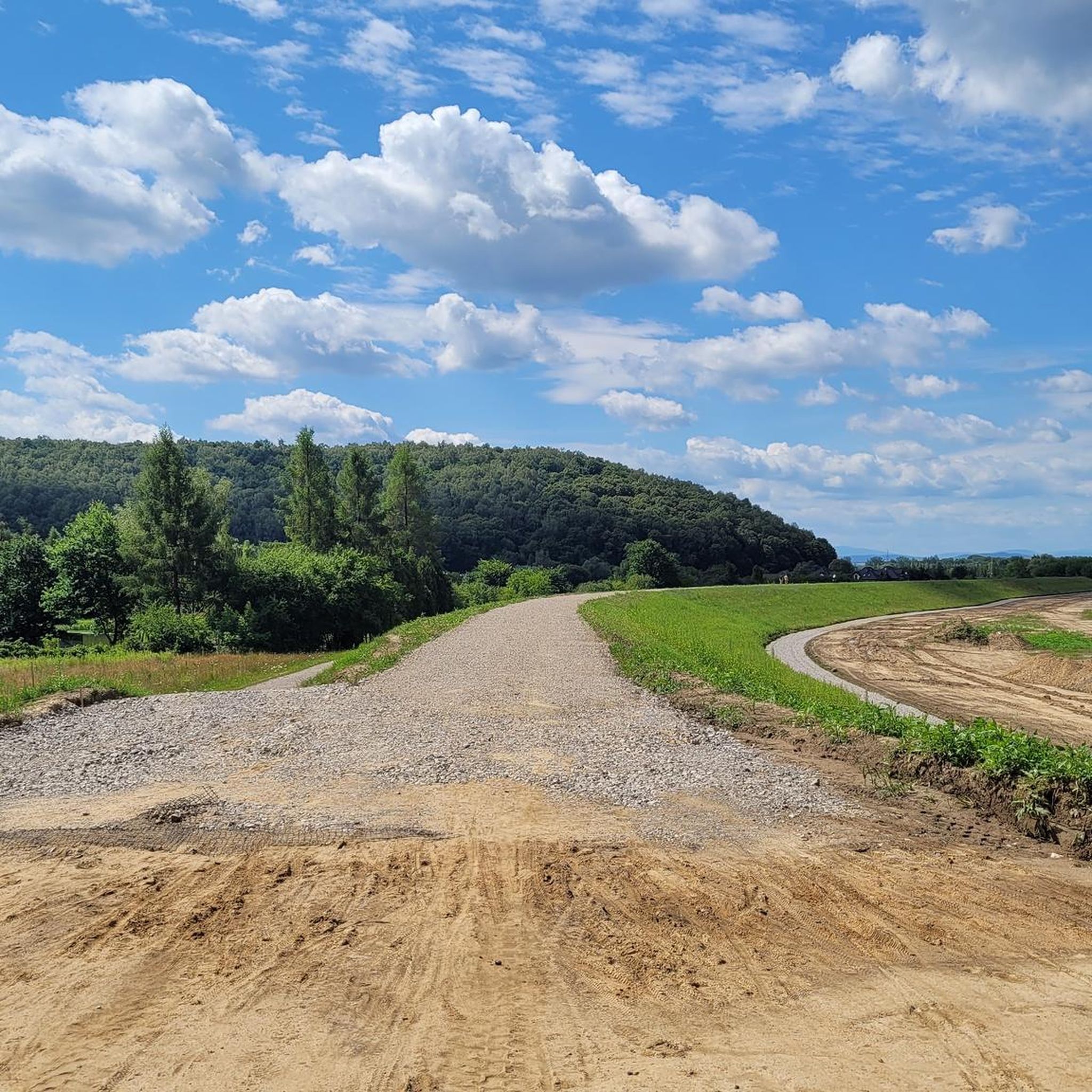
Road Cycling Routes around the Vistula
Other adventures around the Vistula


Tips from the Community

The main cycle path on the spit R10.
0
0
The main cycling route on the R10 spit.
0
0
The main R10 cycling route on the spit.
0
0
Main cycling route on the island.
0
0

Good surface for all bikes
0
0
Frequently Asked Questions
How many gravel bike trails are available around the Vistula?
There are over 380 gravel bike trails available around the Vistula, offering a wide range of options for different skill levels and preferences. The komoot community has explored more than 4000 of these routes.
What kind of terrain can I expect on gravel bike trails around the Vistula?
The Vistula region offers diverse terrain for gravel biking. You'll find extensive forest paths, urban green corridors, and sections of the Vistula Cycle Route. Landscapes vary from the flat, sandy areas near the Vistula Spit and Lagoon to riverside parks and nature reserves. Some routes, like the Szutry premium nad Wikaryjskie – Forest Bike Trail loop from Wistka Królewska, lead through varied forest terrain with challenging segments, while others follow urban riverside paths.
Are there gravel bike trails suitable for beginners in the Vistula region?
Yes, the Vistula region offers over 100 easy gravel bike routes perfect for beginners or those looking for a relaxed ride. An example is the Gdański Bridge – Żerań Footbridge loop from Dworzec Gdański, which is an easy 20 km route.
Are there challenging gravel bike routes for experienced riders?
Absolutely. For experienced riders seeking a challenge, there are nearly 100 difficult gravel bike routes around the Vistula. The Szutry premium nad Wikaryjskie – Forest Bike Trail loop from Wistka Królewska is a difficult 68 km path through varied forest terrain, offering challenging segments. Another demanding option is the Kanał Żerański Path – Żerań Footbridge loop from Plac Wilsona, which spans almost 100 km.
What do other gravel bikers say about the trails around the Vistula?
The gravel bike routes in the Vistula region are highly rated by the komoot community, with an average score of 4.6 stars from over 330 reviews. Riders often praise the diverse landscapes, from scenic forest paths to urban green corridors, and the well-maintained sections of the Vistula Cycle Route.
Are there any circular gravel bike routes around the Vistula?
Many gravel bike routes around the Vistula are designed as loops, allowing you to start and end at the same point. Examples include the Żerań Foot and Bicycle Bridge – Kanał Żerański Path loop from Dworzec Wileński and the Jantar–Stegna Forest Bike Path – Scenic Forest Gravel Path loop from Prawy Brzeg Wisły.
How can I reach the gravel bike trails around the Vistula using public transport?
Many trails, especially those closer to urban centers like Warsaw, are accessible via public transport. Routes starting from 'Dworzec Wileński' or 'Plac Wilsona' are typically well-connected by city buses, trams, or metro. For specific routes, checking local public transport schedules and connections to the starting points is recommended.
What are the best times of year for gravel biking around the Vistula?
Spring and autumn generally offer the most pleasant conditions for gravel biking around the Vistula, with milder temperatures and beautiful scenery. Summer can be enjoyable, especially in shaded forest areas, but be prepared for warmer weather. Winter riding is possible, but some unpaved sections might be muddy or icy, especially in less maintained areas.
Are there family-friendly gravel biking options along the Vistula?
Yes, the Vistula offers several family-friendly gravel biking options, particularly along the Vistula Cycle Route and in urban green corridors. These routes often feature mostly paved or well-maintained gravel surfaces, suitable for all fitness levels. Look for easy-rated routes, which tend to be shorter and have less elevation gain.
What natural features or landmarks can I see along the Vistula gravel bike trails?
Along the Vistula, you can explore a variety of natural features and landmarks. Depending on the route, you might encounter the Zawadowskie Islands Nature Reserve or the Wyspy Świderskie Nature Reserve. In some areas, you can also find impressive geological formations like the Korzeniowy Dół Ravine or the Vistula River Cliff. Urban routes may offer views of city skylines and historical sites.
Are there places to stop for food or drinks near the Vistula gravel trails?
Yes, especially on routes that pass through or near towns and cities, you'll find cafes, pubs, and restaurants. Even on more rural routes, there are often small shops or local eateries in villages. Urban areas like Warsaw's Vistula Boulevards are particularly well-equipped with amenities. For specific routes, checking the komoot map for points of interest can help you plan your stops.
Where can I find parking for gravel biking along the Vistula?
Parking availability varies by location. In urban areas, public parking lots or street parking might be available near trailheads or public transport hubs. For routes in more natural or rural settings, designated parking areas are often found near popular starting points or recreational zones. It's advisable to check specific route details or local maps for parking information before your trip.
Most popular routes around the Vistula
Most popular attractions around the Vistula

Get inspired with the komoot mobile app


Explore more
Browse the best Gravel rides in other regions.
