The best gravel rides around Wassen
3.7
(10)
300
riders
4
rides
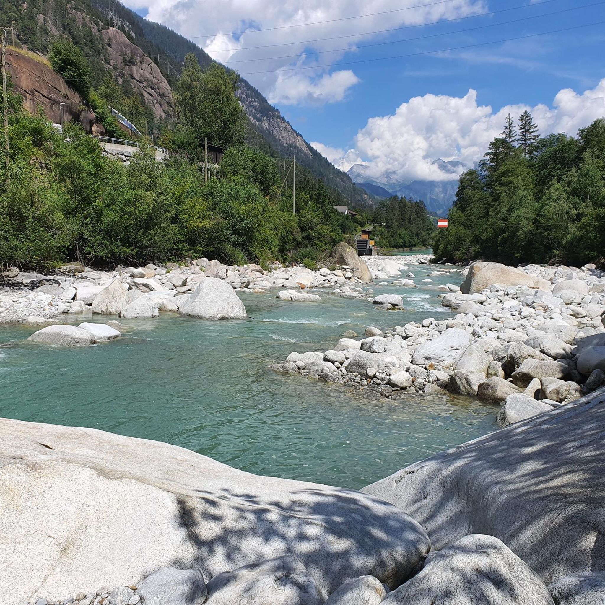
Gravel biking around Wassen features a mountainous landscape characterized by high alpine passes and river valleys. The region offers significant elevation changes, with routes often traversing through rugged terrain and alongside water features. This area is defined by its challenging climbs and extensive routes, providing a demanding environment for gravel bikers.
Best gravel bike trails around Wassen
- The most popular gravel bike trail is Gotthard, Furka and Nufenen Passes, a 66.5 miles (107.0 km) trail that takes 9 hours…
Last updated: October 6, 2026
4.4
(9)
269
riders
107km
09:31
3,140m
3,140m
Hard gravel ride. Very good fitness required. Mostly paved surfaces. Suitable for all skill levels.
18
riders
153km
12:18
3,420m
3,420m
Hard gravel ride. Very good fitness required. Mostly paved surfaces. Suitable for all skill levels.

3.0
(2)
7
riders
25.0km
01:45
450m
450m
Hard gravel ride. Very good fitness required. Mostly paved surfaces. Suitable for all skill levels.
9
riders
10.7km
00:41
200m
200m
Moderate gravel ride. Good fitness required. Mostly paved surfaces. Suitable for all skill levels.
Our route recommendations are based on thousands of hikes, rides, and runs completed by other people on komoot.
Start today with a free account
Your next adventure awaits.




Tips from the Community

The village is still okay, but the new buildings are terrible and don't fit the region at all.
0
0

A really beautiful pass! And also for hiking from the pass summit: many possibilities.
0
0

The Gotthard Pass is one of Switzerland's most famous and historic alpine passes. Located at an altitude of 2,106 meters above sea level in the Lepontine Alps, it connects Central Europe to Southern Europe. Specifically, it serves as a direct road link between the canton of Ticino (Airolo) and the canton of Uri (Hospental). The summit and massif can be crossed in several ways depending on travel needs: The New Pass Road: It is the modern and asphalted road variant, scenic and smooth during the summer months. The Tremola: The famous historic southern slope, characterized by 24 hairpin bends paved with porphyry, much loved by cyclists, motorcyclists, and nostalgics. The Road Tunnel (A2): The 16.9 km long motorway tunnel, open all year round, fast but often subject to traffic and queues. The Railway Tunnels: Including the pioneering tunnel from 1882 and the modern Gotthard Base Tunnel, at very high speed.
0
0

On the Molly Trail, big and small explorers discover Molly's favorite places. Along the way, you'll also find fantastic nature and many beautiful resting spots.
0
0

The Furka Pass is a 2,429 m high Swiss road pass in the Alps. It connects the Urseren Valley (the upper valley of the Reuss River) in the canton of Uri with the Goms district in the canton of Valais. It straddles the European watershed between the Mediterranean Sea and the North Sea. Source: Furka Pass – Wikipedia https://share.google/zJGI3KsPRtARfpYje
6
0

St. Gotthard Pass The Gotthard Pass divides waterways and connects various cultural and linguistic areas. Its significance as an "Alpine transversal" began at the beginning of the 13th century with the construction of the legendary Devil's Bridge in the Schöllenen Gorge. For many centuries, trade caravans (trading cattle and cheese for grain, wine, rice, and salt), mercenaries, messengers, and even entire armies crossed the pass. Between 1818 and 1836, the canton of Uri, with the help of other cantons, expanded the pass road, thus achieving its predominance among Swiss Alpine passes. The Gotthard Pass has significantly shaped the economy and culture of Central Switzerland for centuries. Until the opening of the Gotthard Railway in 1882, the Gotthard Pass was also used in winter. Dozens of roadmen and shovel workers were employed for this purpose. In 1922, the post bus replaced the stagecoach, and with the introduction of gasoline duties in 1923, the expansion of the pass roads began, continuing to this day. The old pass road on the south side, the Tremola between the top of the pass and Airolo, is still preserved and passable. This stretch of road recalls more tranquil journeys over the Gotthard that occurred not so long ago. In the 19th and 20th centuries, the Gotthard Pass was "condensed" into a myth, a symbol of Switzerland's independence, unity, and identity. Text / Source: Interest Group for Alpine Passes IAP, PO Box 11, 6491 Realp https://alpen-paesse.ch/de/alpenpaesse/gotthardpass
15
1

Starting point for cycling and hiking tours with seating, bicycle service station and sculpture "Ursern - The Valley of the Three Passes".
0
0

The train journey between Disentis and Andermatt should definitely be included in any trip.
0
0
Frequently Asked Questions
How many gravel bike trails are available around Wassen?
Wassen offers a selection of 6 gravel bike routes. These routes primarily cater to experienced riders, featuring significant elevation changes and challenging terrain.
What is the general difficulty level of gravel biking in Wassen?
Gravel biking in Wassen is generally considered challenging. The region is characterized by high alpine passes and river valleys, meaning routes often involve sustained climbs and descents through rugged terrain. Most of the available routes are graded as difficult, with one moderate option.
Are there any easy or beginner-friendly gravel bike trails in Wassen?
The gravel biking routes around Wassen are predominantly challenging, designed for experienced riders. There are no routes specifically classified as easy. The region's mountainous landscape and significant elevation changes mean even moderate routes require a good level of fitness and skill.
What do other gravel bikers say about the trails in Wassen?
The gravel biking routes in Wassen are highly regarded by the komoot community, holding an average rating of 3.7 stars from 8 reviews. Riders often praise the demanding nature of the routes and the stunning alpine scenery encountered along the way.
Are there any circular gravel bike routes in Wassen?
Yes, Wassen offers several circular gravel bike routes. A notable example is the Oberalp, Lukmanier and Gotthard Passes - Alpine passes round tour from Andermatt, which connects multiple high alpine passes for a demanding, long-distance experience. Another option is the Kernwald Forest — Gravel Path – View of Stansstad loop from Engelberg.
What are the typical distances and durations for gravel bike routes in Wassen?
Gravel bike routes in Wassen vary significantly in length and duration. You can find shorter loops like the Chärstelenbach Bridge – Jagdmatt Chapel loop from 14-Nothelfer-Kapelle, which is about 15.6 miles (25.2 km) and takes around 2 hours 15 minutes. Longer, more demanding tours, such as Gotthard, Furka and Nufenen Passes, can span over 66 miles (107 km) and require more than 9 hours to complete.
What can I see along the gravel bike trails in Wassen?
The gravel bike trails in Wassen offer breathtaking alpine scenery, including high mountain passes and river valleys. You'll encounter various natural landmarks and points of interest. For example, you might pass by the Oberalp Pass or see the unique Hairpin Turns on the Oberalp Pass. The region also features numerous mountain huts like Maighelshütte and Salbithütte, offering potential stops for refreshments or overnight stays.
What is the best time of year for gravel biking in Wassen?
The best time for gravel biking in Wassen is typically from late spring to early autumn (June to September). During these months, the high alpine passes are generally free of snow, and the weather conditions are more favorable. Always check local weather and trail conditions before heading out, especially for routes at higher elevations.
What are the trail conditions like, especially in winter?
Given Wassen's high alpine environment, trail conditions can vary significantly. In spring and autumn, some higher sections might still have snow or be muddy. During winter, many high-altitude gravel routes become impassable due to heavy snow and ice, making winter gravel biking generally not recommended for most trails. Lower valley routes might be accessible, but conditions can still be challenging.
Can I access Wassen gravel routes using public transport?
Wassen is located in a well-connected region of Switzerland. While specific trailhead access details vary by route, many alpine areas in Switzerland are accessible via public transport, including trains and post buses. It's advisable to check the SBB (Swiss Federal Railways) website for connections to Wassen or nearby starting points like Andermatt, which serves as a hub for several tours.
Where can I find parking for gravel bike trails in Wassen?
While specific parking information for each trailhead isn't detailed, Wassen and surrounding villages typically offer public parking facilities. For routes starting from specific points like the 14-Nothelfer-Kapelle, you can often find designated parking nearby. It's recommended to research parking options for your chosen starting point in advance, especially during peak season.
Are there cafes or restaurants near the gravel trails in Wassen?
Yes, given the popularity of the region for outdoor activities, you can find cafes and restaurants in Wassen and the surrounding villages. Along some of the longer routes, particularly those crossing major passes, you might also find mountain restaurants or huts like Restaurant Alpsu near Oberalp Pass, offering opportunities for refreshments and meals.
Most popular attractions around Wassen

Get inspired with the komoot mobile app


Explore more
Browse the best Gravel rides in other regions.
