The best gravel rides in the Bitterroot Range
5.0
(1)
172
riders
16
rides
Gravel biking in the Bitterroot Range offers routes through rugged, glacial-carved landscapes and extensive trail systems. The region features significant elevation changes, from river valleys to subalpine forests, with peaks reaching over 10,000 feet. Gravel bike trails traverse diverse terrain, including forest service roads, old logging roads, and paths alongside rivers like the Clark Fork and Bitterroot. This area provides a blend of challenging climbs and scenic routes for various skill levels.
Best gravel bike trails in the Bitterroot Range
- The most popular gravel bike trail is Ninemile Road loop from Longpre Dam, a 57.5 miles (92.6 km) trail that takes 8 hours 30 minutes to complete. This route features significant elevation gain through remote forest roads.
- Another top favourite among local gravel bikers is Clark Fork River – Rattlesnake Trail loop from Hellgate High School, a moderate 19.5 miles (31.3 km) path. This route offers views along the Clark Fork River and through varied terrain.
- Local gravel bikers also love the Kim Williams Trail – McCormick Park loop from Hellgate High School, a 15.9 miles (25.6 km) trail leading through riverfront areas and urban-adjacent parks, often completed in about 1 hour 57 minutes.
- Gravel biking in the Bitterroot Range is defined by rugged mountains, subalpine forests, and river valleys. The network offers options for different ability levels, from moderate paths to challenging climbs.
- The routes in Bitterroot Range are highly rated by the komoot community with an average score of 5.0 stars from over 1 reviews. More than 130 gravel bikers have used komoot to explore Bitterroot Range's varied terrain.
Last updated: October 1, 2026
39
riders
132km
10:57
1,970m
1,970m
Hard gravel ride. Very good fitness required. Mostly paved surfaces. Suitable for all skill levels.
13
riders
27.8km
02:26
470m
470m
Hard gravel ride. Very good fitness required. Mostly paved surfaces. Suitable for all skill levels.

20
riders
30.3km
01:59
340m
340m
Moderate gravel ride. Good fitness required. Mostly paved surfaces. Suitable for all skill levels.
5
riders
108km
09:07
1,230m
1,230m
Hard gravel ride. Very good fitness required. Mostly paved surfaces. Suitable for all skill levels.
17
riders
30.8km
01:57
230m
230m
Moderate gravel ride. Good fitness required. Mostly paved surfaces. Suitable for all skill levels.
7
riders
50.2km
03:34
840m
840m
Hard gravel ride. Very good fitness required. Mostly paved surfaces. Suitable for all skill levels.
9
riders
23.5km
01:20
150m
150m
Moderate gravel ride. Good fitness required. Mostly paved surfaces. Suitable for all skill levels.
Get access to more routes and recommendations from other explorers.
Already have an account?
Our route recommendations are based on thousands of hikes, rides, and runs completed by other people on komoot.
Start today with a free account
Your next adventure awaits.

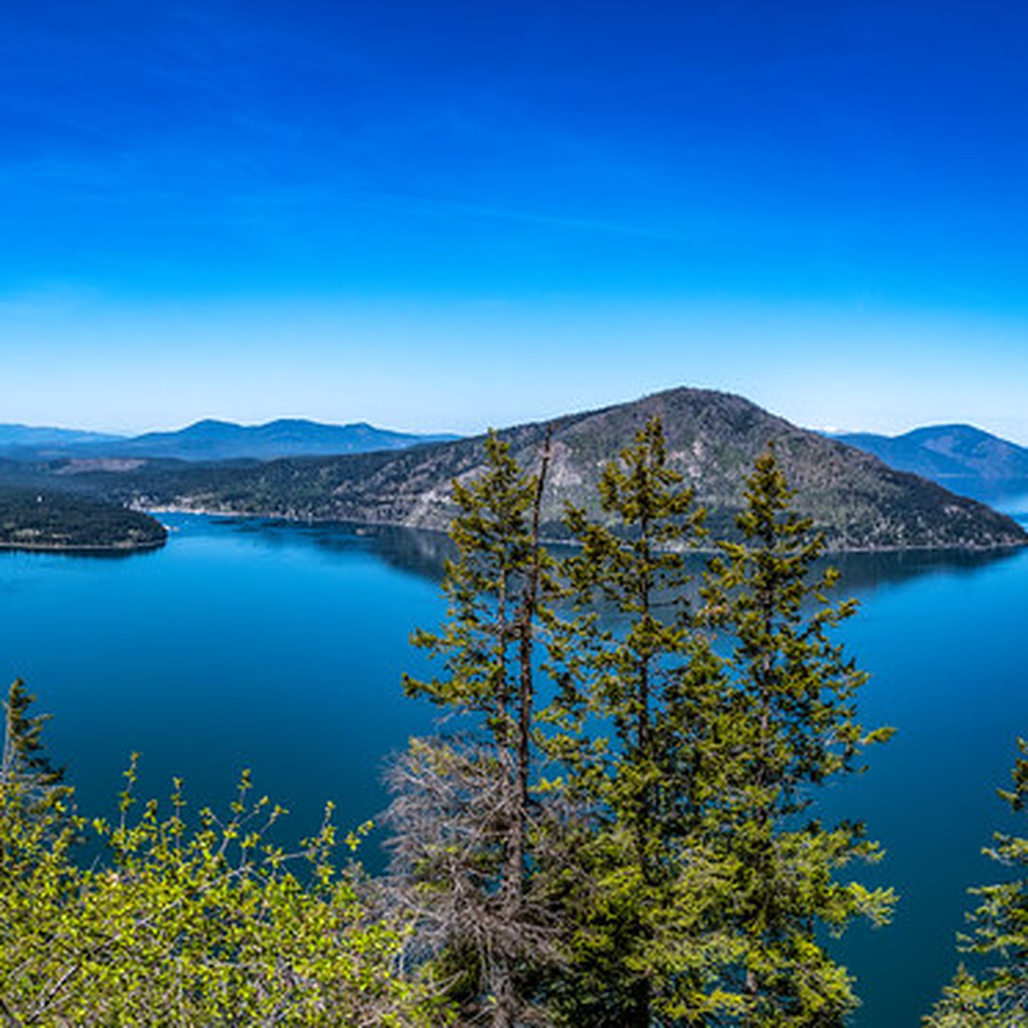

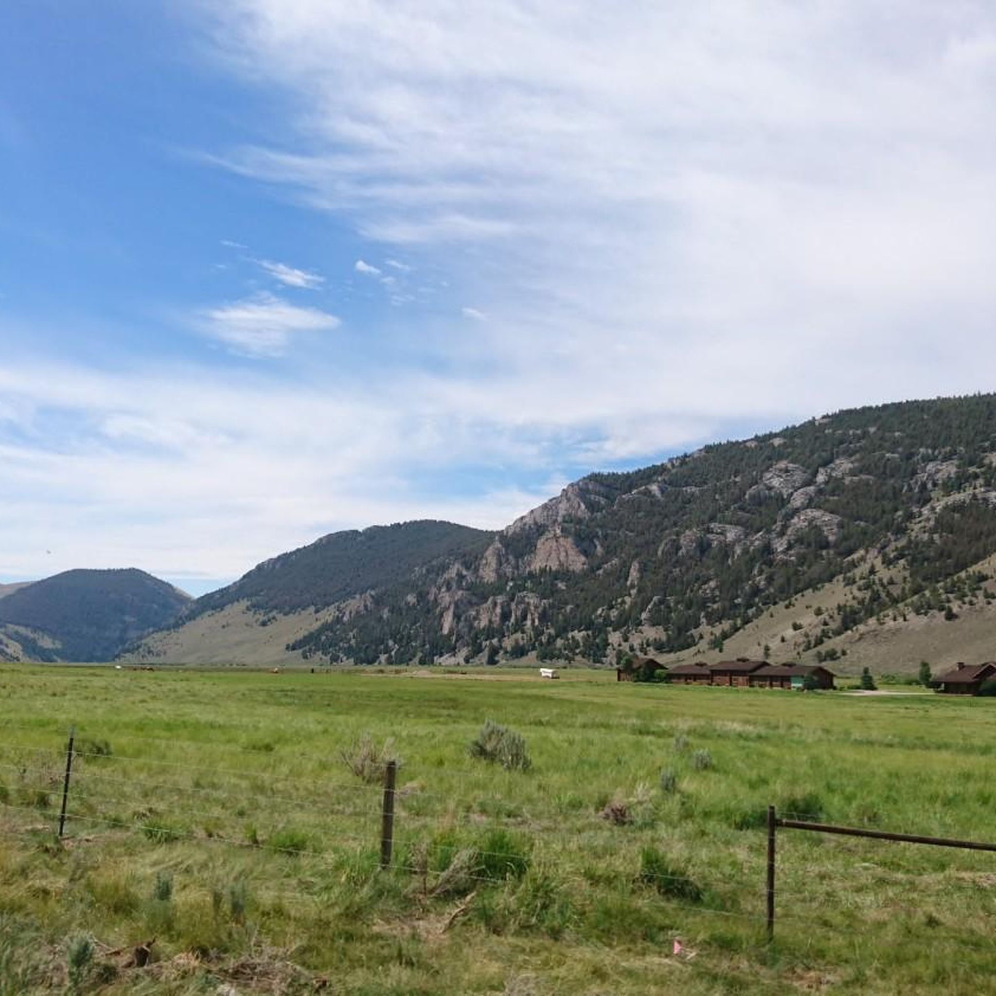
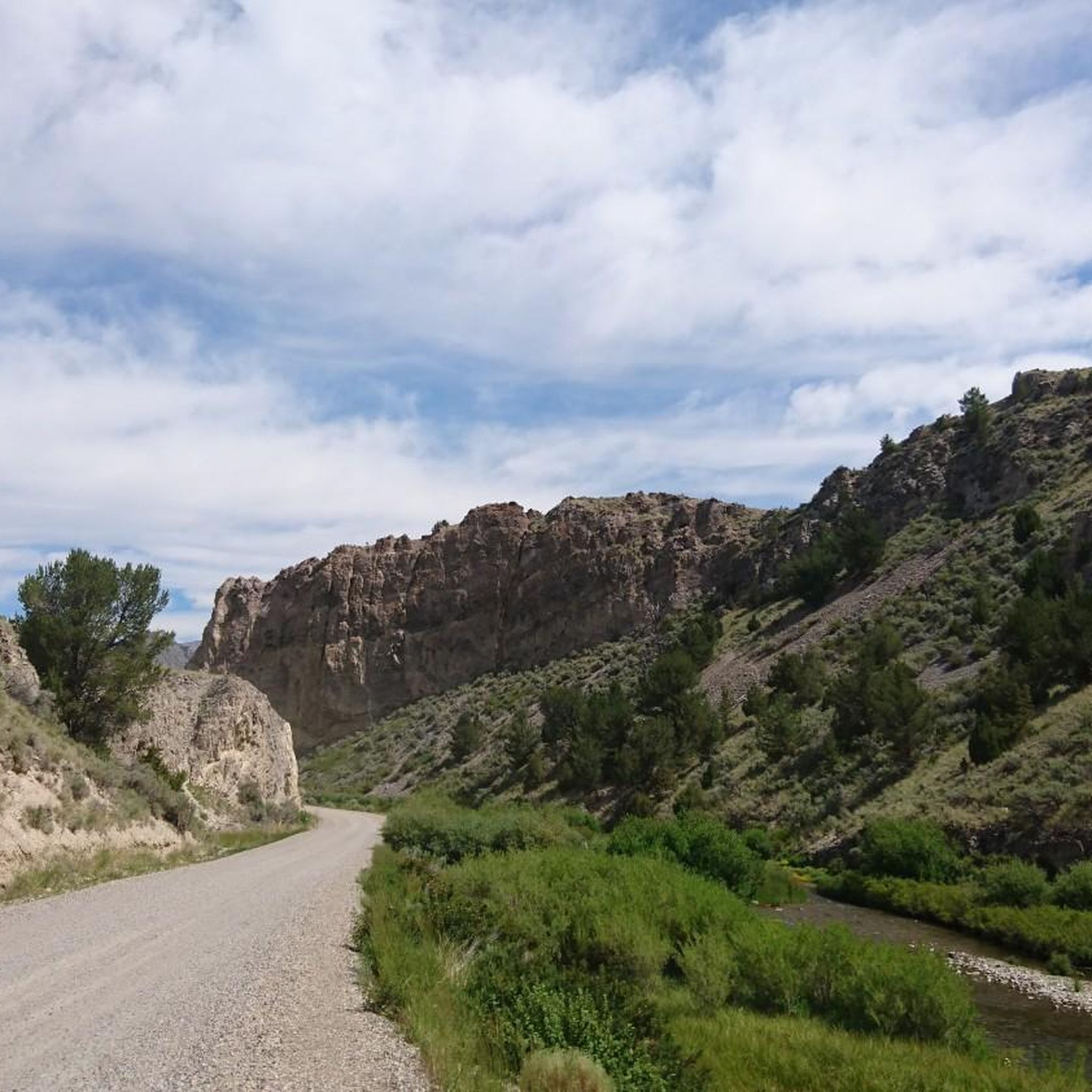
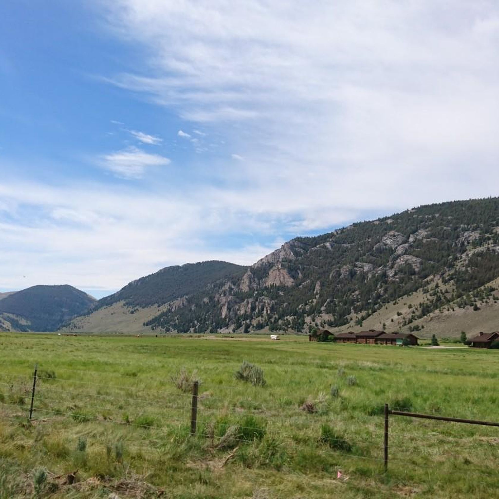
Other adventures in the Bitterroot Range

Tips from the Community

Lima is a great stop in the middle of nowhere. there are historic cabins behind the restaurant by the interstate. Make a reservation if you try to go to the Steakhouse in the evening. The main hotel in town was getting run down but I heard it has changed hands, hopefully that will help. The gas station in town is the main place to restock between here and Island Park, Idaho on the GDMBR (southbound). Or if you are going Northbound, Ma Barnes in Polaris or Wise.
0
0

absolutely great scenery and landscape. the gravel road is fine. about 8 % clime.
0
0

Lima is a crucial stop for those on riding the Great Divide or racing on the Tour Divide. This small town has welcome amenities that are hard to come by in this remote region and it also offers great chances to spot wildlife such as pronghorn and you be treated to the big skies that Montana is famous for.
0
0

The Beartracks Bridge is a four-lane bridge over the Clark Fork River in downtown Missoula. It was constructed in 1962 and recently renovated to improve pedestrian safety. The bridge now has dedicated bike lanes and widened sidewalks.
0
0

Jacob's Island is a dog park on the banks of Clark Fork River. The park is 6-acres and the river works as a beautiful natural barrier for the dogs. It also offers a series of paved and unpaved trails, benches, picnic tables and dog-waste bags.
0
0

This small beach area, mostly a marina, provides a unique view of boats docked on the beautiful waters of Lake Coeur d'Alene, surrounded by picturesque alpine mountains.
0
0
Jacob's Island is a dog park on the banks of Clark Fork River. The park is 6 acres and the river works as a beautiful natural barrier for the dogs. It also offers a series of paved and unpaved trails, benches, picnic tables and dog-waste bags.
0
0

Nestled in the northern Rockies, the city is known as the "Garden City" for its lush surroundings as well as trout fishing. The city is home to the University of Montana, founded in 1893.
0
0
Frequently Asked Questions
How many gravel bike trails are available in the Bitterroot Range?
The Bitterroot Range offers over 10 gravel bike trails, catering to various skill levels. You'll find a mix of moderate and challenging routes, with the majority designed for experienced riders.
What is the best time of year for gravel biking in the Bitterroot Range?
The best time for gravel biking in the Bitterroot Range is typically from late spring through early autumn. Summers offer warm, dry conditions, while spring and fall provide cooler temperatures and vibrant scenery. Winter brings snow, transforming the area into a wonderland for other activities like cross-country skiing, but making most gravel routes inaccessible.
Are there any easy or beginner-friendly gravel bike trails in the Bitterroot Range?
While many routes in the Bitterroot Range are challenging, there are some moderate options suitable for those with a good fitness level. For example, the Kim Williams Trail – McCormick Park loop from Hellgate High School offers a more accessible ride through riverfront areas and parks.
Can I find long-distance gravel biking routes in the Bitterroot Mountains?
Yes, the Bitterroot Range features routes suitable for longer rides. The Ninemile Road loop from Longpre Dam is a significant option, covering over 90 kilometers with substantial elevation gain through remote forest roads, ideal for experienced long-distance gravel bikers.
What kind of terrain and elevation can I expect on gravel bike trails in the Bitterroot Range?
Gravel bike trails in the Bitterroot Range feature diverse terrain, from forest service roads and old logging roads to paths alongside rivers. You can expect significant elevation changes, with routes traversing rugged, glacial-carved landscapes, subalpine forests, and river valleys. Some peaks in the range reach over 10,000 feet, offering challenging climbs and rewarding views.
Are there any notable landmarks or natural features to see along the gravel bike trails?
Yes, the Bitterroot Range is rich in natural beauty. While riding, you might encounter dramatic granite peaks, fast-flowing rivers like the Clark Fork and Bitterroot, and subalpine forests. You can also explore nearby attractions such as Lake Coeur d'Alene or enjoy views from Higgens Point.
Are there any circular gravel bike routes in the Bitterroot Range?
Many of the gravel bike routes in the Bitterroot Range are designed as loops, allowing you to start and end at the same point. Examples include the Clark Fork River – Rattlesnake Trail loop from Hellgate High School and the Kim Williams Trail – Jacob's Island loop from Hellgate High School, offering varied scenery on a single ride.
What do other gravel bikers enjoy most about riding in the Bitterroot Range?
The area is highly rated by the komoot community, with an average score of 5.0 stars. Reviewers often praise the challenging climbs, the stunning natural beauty of the rugged landscapes, and the sense of adventure found on the extensive network of forest service and logging roads.
Is the Route of the Hiawatha Trail considered a gravel biking option in the Bitterroot Range?
While the Route of the Hiawatha Trail is primarily known as a rail-trail, sections within the broader Bitterroot Range area can offer gravel riding experiences. It's a distinct trail, but its proximity means some riders might incorporate parts of it into a wider gravel adventure.
Are there opportunities for wildlife spotting while gravel biking in the Bitterroot Range?
Yes, the Bitterroot Range is home to abundant wildlife. While riding, you might spot deer, elk, moose, and various bird species, including eagles and hawks. Black bears and mountain lions also inhabit the area, so it's always wise to be aware of your surroundings and practice safe wildlife viewing.
Are there any family-friendly gravel bike routes in the Bitterroot Valley?
For families looking for less strenuous options, routes that stick to flatter sections along the Bitterroot River or through urban-adjacent parks can be suitable. The Kim Williams Trail – McCormick Park loop from Hellgate High School, for instance, offers a moderate ride that could be adapted for families with older children or those comfortable with longer distances.
What are the parking options like at Bitterroot Range gravel trailheads?
Many trailheads in the Bitterroot Range, especially those accessing Forest Service roads, typically offer parking. Specific parking availability can vary by trailhead, so it's advisable to check details for your chosen route in advance. Routes originating from areas like Hellgate High School often have accessible starting points with parking nearby.
Most popular routes in the Bitterroot Range
Most popular attractions in the Bitterroot Range

Get inspired with the komoot mobile app


Explore more
Browse the best Gravel rides in other regions.
