The best gravel rides around Kaltennordheim
4.5
(4)
18
riders
3
rides
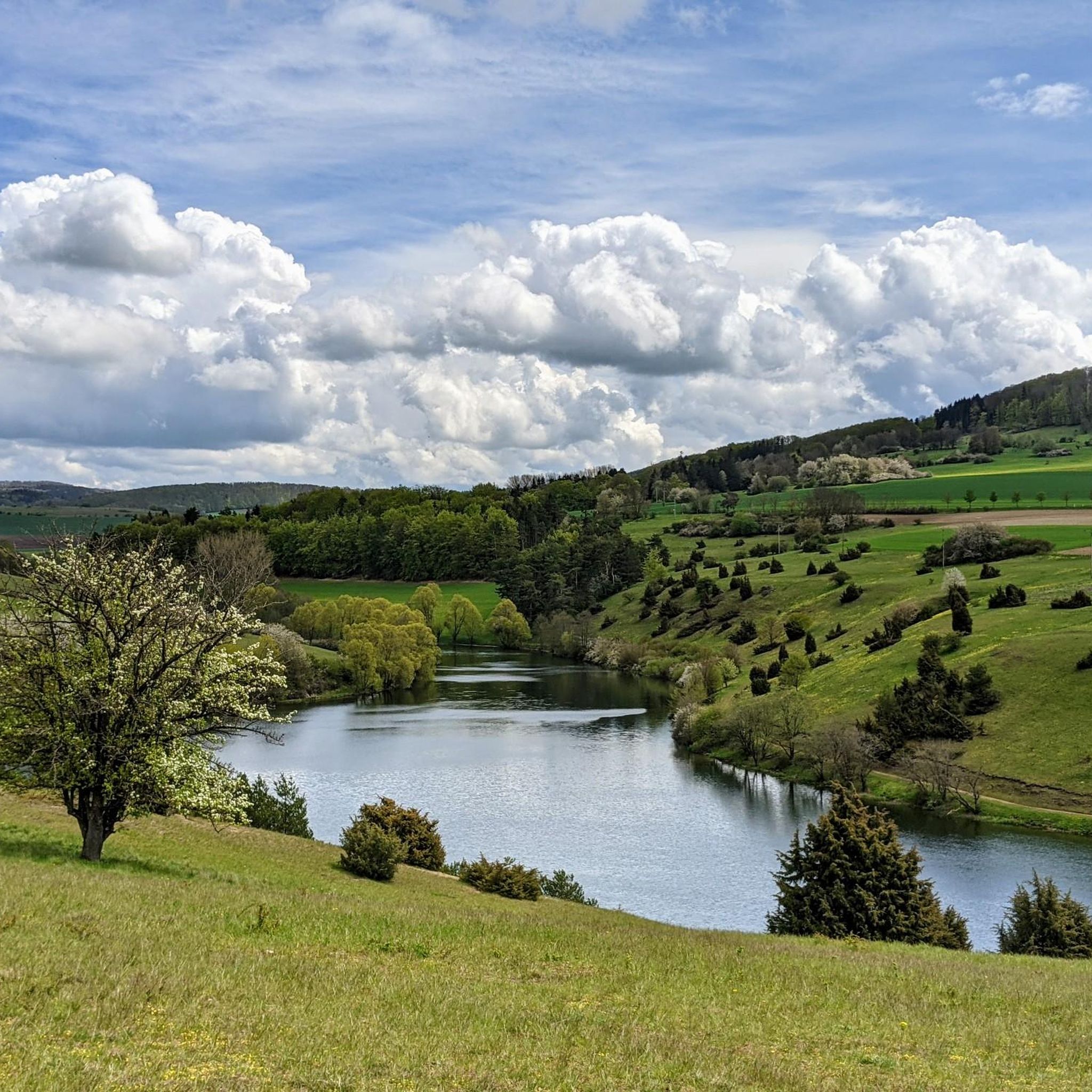
Gravel biking around Kaltennordheim offers diverse landscapes within the Rhön region, characterized by a mix of quiet gravel roads, forest paths, and smooth asphalt. The terrain includes wide, open ridges and hillier, forested sections, providing varied riding experiences. This combination allows for routes ranging from gentle rolls through meadows to more challenging ascents. The area's natural features are well-suited for gravel exploration.
Best gravel bike trails around Kaltennordheim
- The most popular gravel bike trail is Felda Rail Trail – Hohe…
Last updated: July 17, 2026
4.0
(2)
5
riders
26.1km
01:36
370m
370m
Moderate gravel ride. Good fitness required. Mostly paved surfaces. Suitable for all skill levels.
1
riders
27.5km
01:53
410m
410m
Moderate gravel ride. Good fitness required. Mostly paved surfaces. Suitable for all skill levels.

Sign up for free
2
riders
24.9km
01:47
550m
550m
Hard gravel ride. Very good fitness required. Mostly paved surfaces. Suitable for all skill levels.
5.0
(2)
3
riders
60.1km
03:57
1,050m
1,050m
Hard gravel ride. Very good fitness required. Mostly paved surfaces. Suitable for all skill levels.
2
riders
25.3km
01:33
370m
370m
Moderate gravel ride. Good fitness required. Mostly paved surfaces. Suitable for all skill levels.
Our route recommendations are based on thousands of hikes, rides, and runs completed by other people on komoot.
Start today with a free account
Your next adventure awaits.
Login or Signup
Popular around Kaltennordheim

Naturlehrpfade – Natur und Wissen
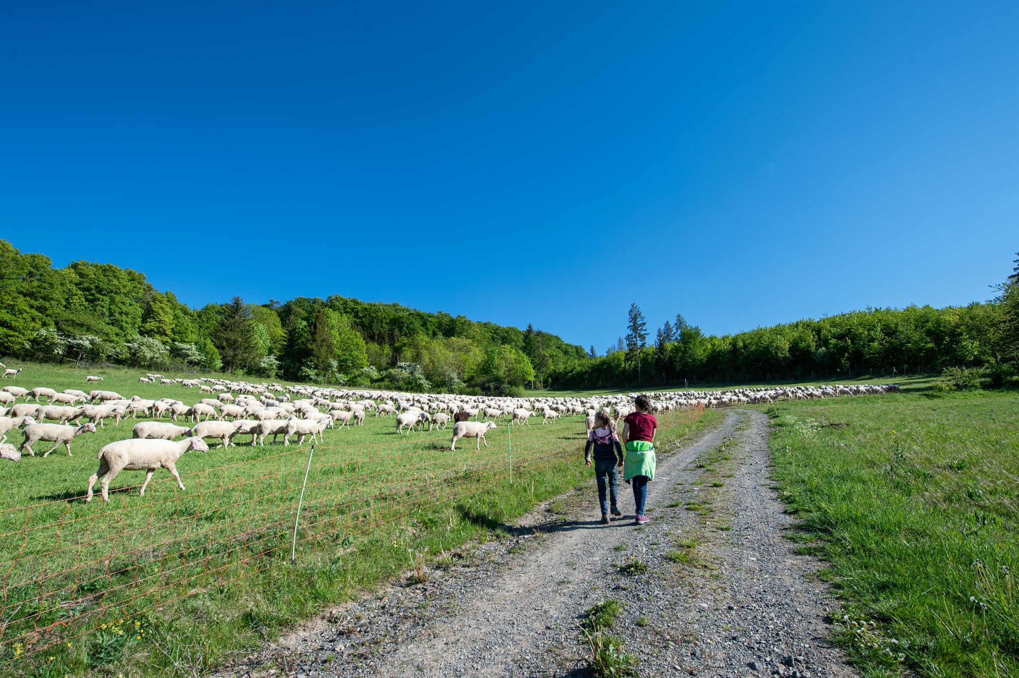
Family paths - on the way with kids in the Rhön
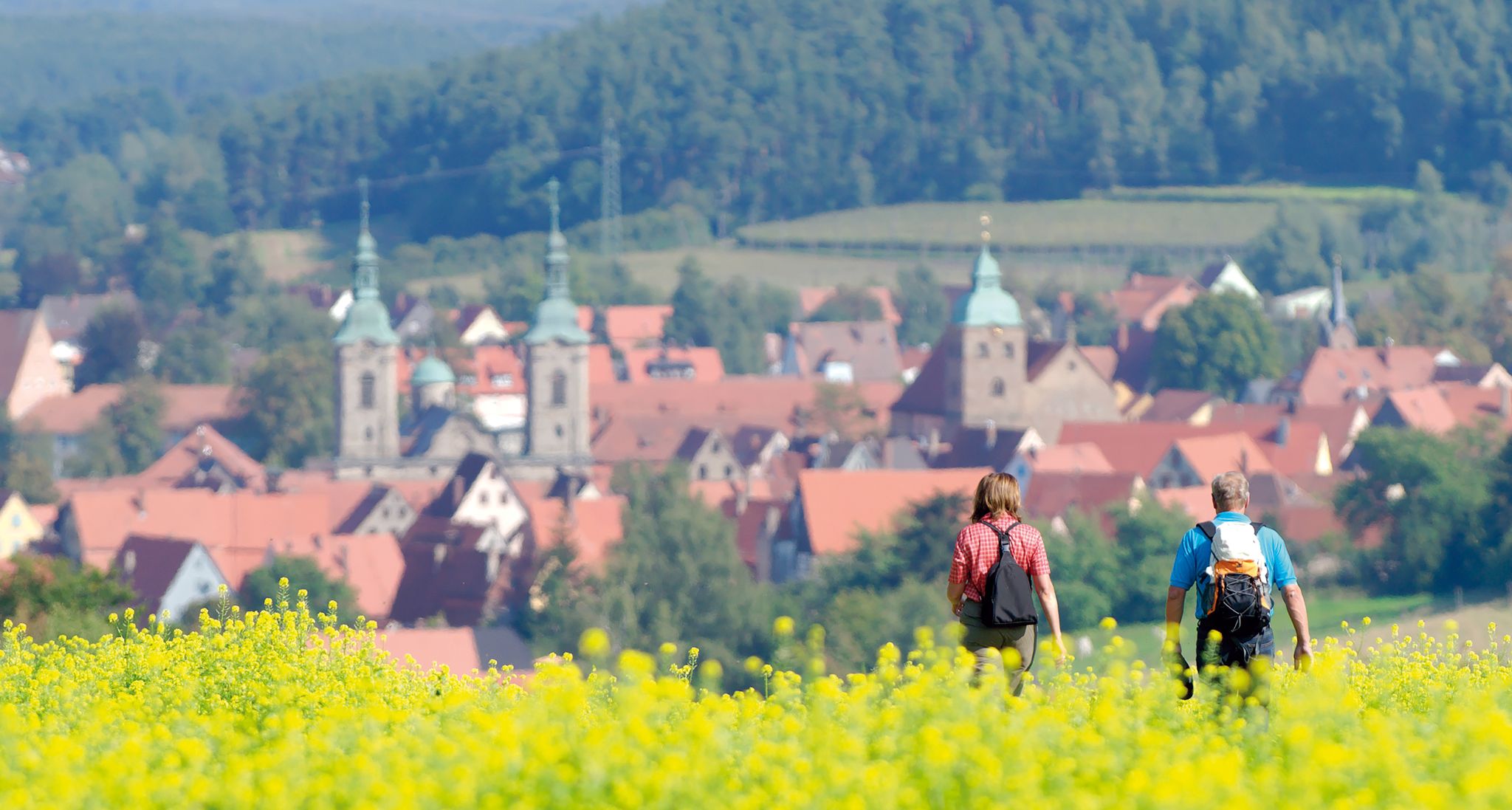
Unforgettable panoramic views — the most beautiful long-distance hikes in Franconia
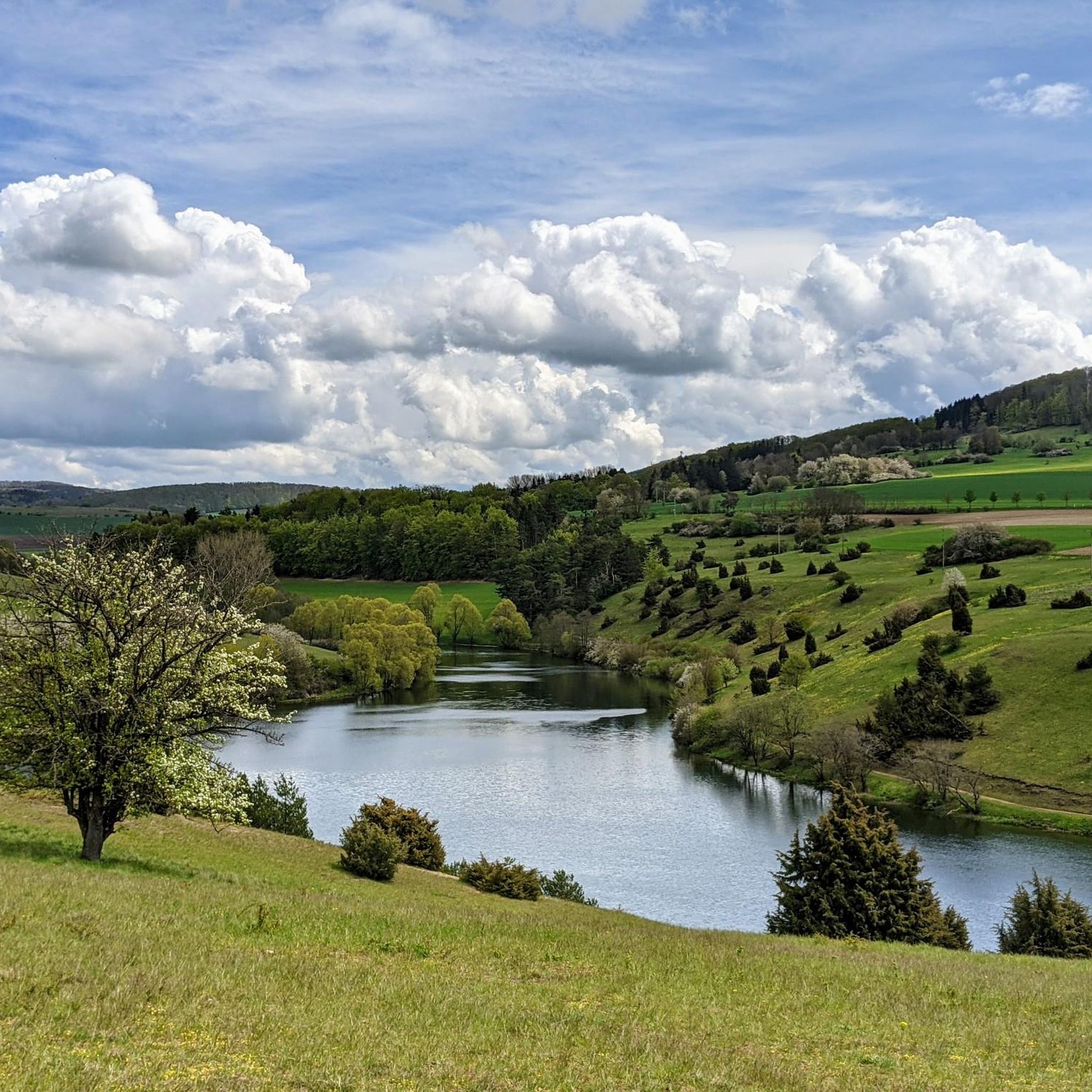
Hiking around Kaltennordheim
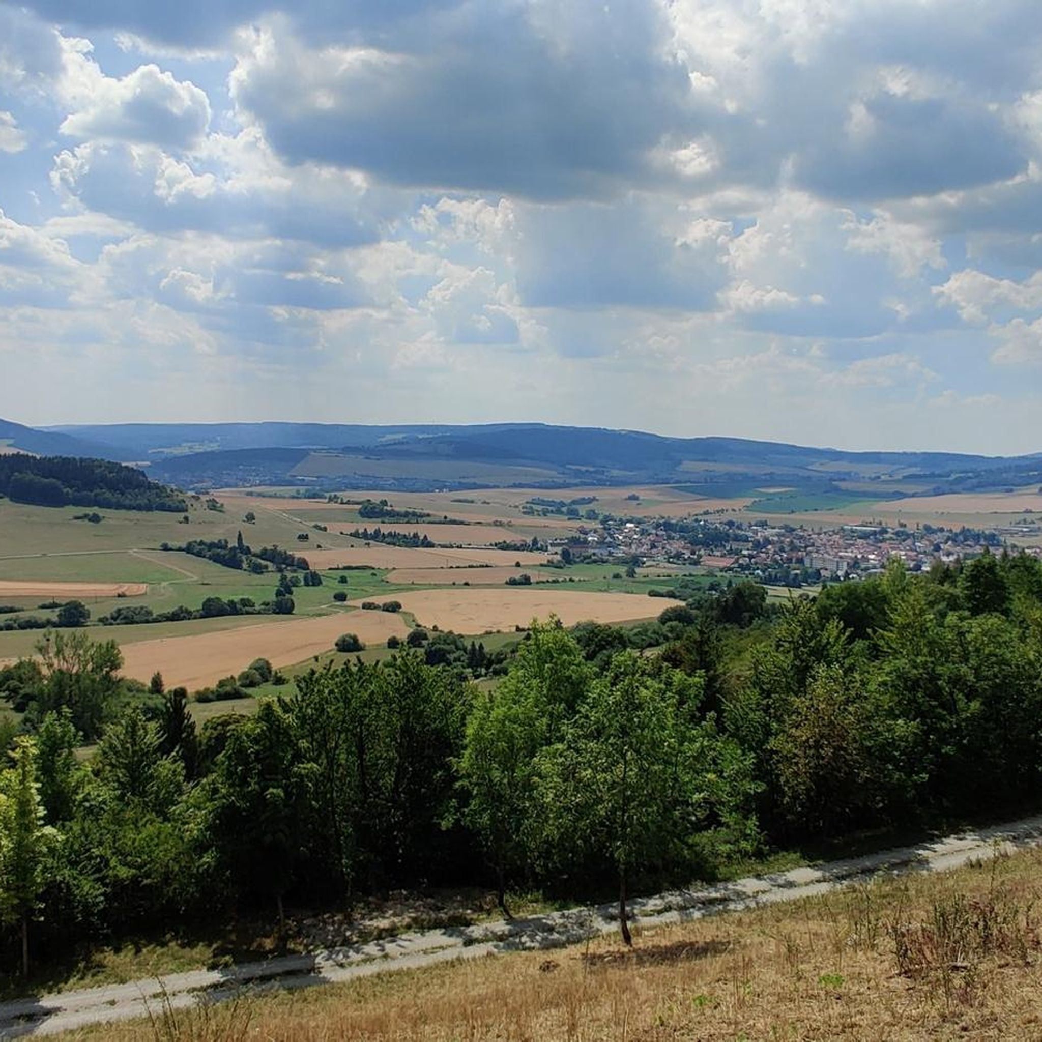
Cycling around Kaltennordheim
Road Cycling Routes around Kaltennordheim
MTB Trails around Kaltennordheim
Running Trails around Kaltennordheim
Other adventures around Kaltennordheim


Tips from the Community

The first documented mention of Geisa dates back to the year 817. In 1302, the designation of city appears for the first time in a document. The chronicler once described the old town, picturesquely beautiful, as a "strawberry in a moss basket" on a long ridge (280 to 322 m above sea level) between the mountain tops of the Vordere Rhön. The towers of the parish church, the town hall and the Schlossplatz ensemble, the historically grown arrangement of residential buildings in conjunction with the approx. 1000 m long town fortifications and the park-like designed summit of the Gangolfiberg with an ancient court and the architecturally historically valuable cemetery chapel "St. Gangolf" with an external pulpit, shape a romantically dreamy image. Source: https://www.thueringen.info/ort/geisa/
1
0
The 529 m high Rockenstuhl is the landmark of the Geisaer Land and is located about 5 km south of Geisa between the Ulster and Geisa valleys. At the foot of the mountain is the five-meter-high "Kreuz der Geiserämter" (Cross of the Geisa Offices), which was solemnly consecrated during the medieval festival in 2006. The Geisaer Amt with its razed farms is depicted on a basalt surface.
1
0

Very worthwhile to walk there - beautiful view from the tower.
0
0

Beautiful old town in Geisa.
0
0
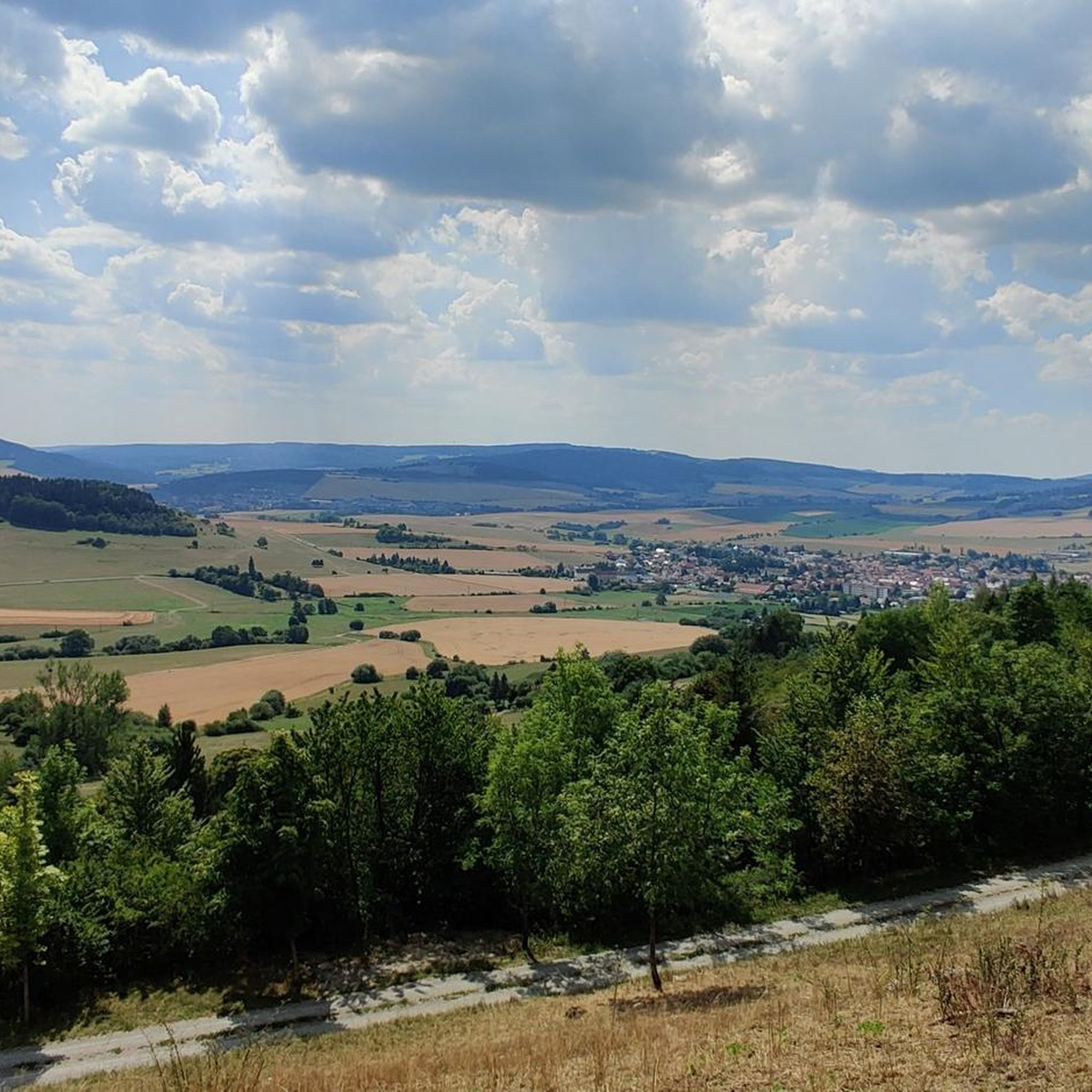
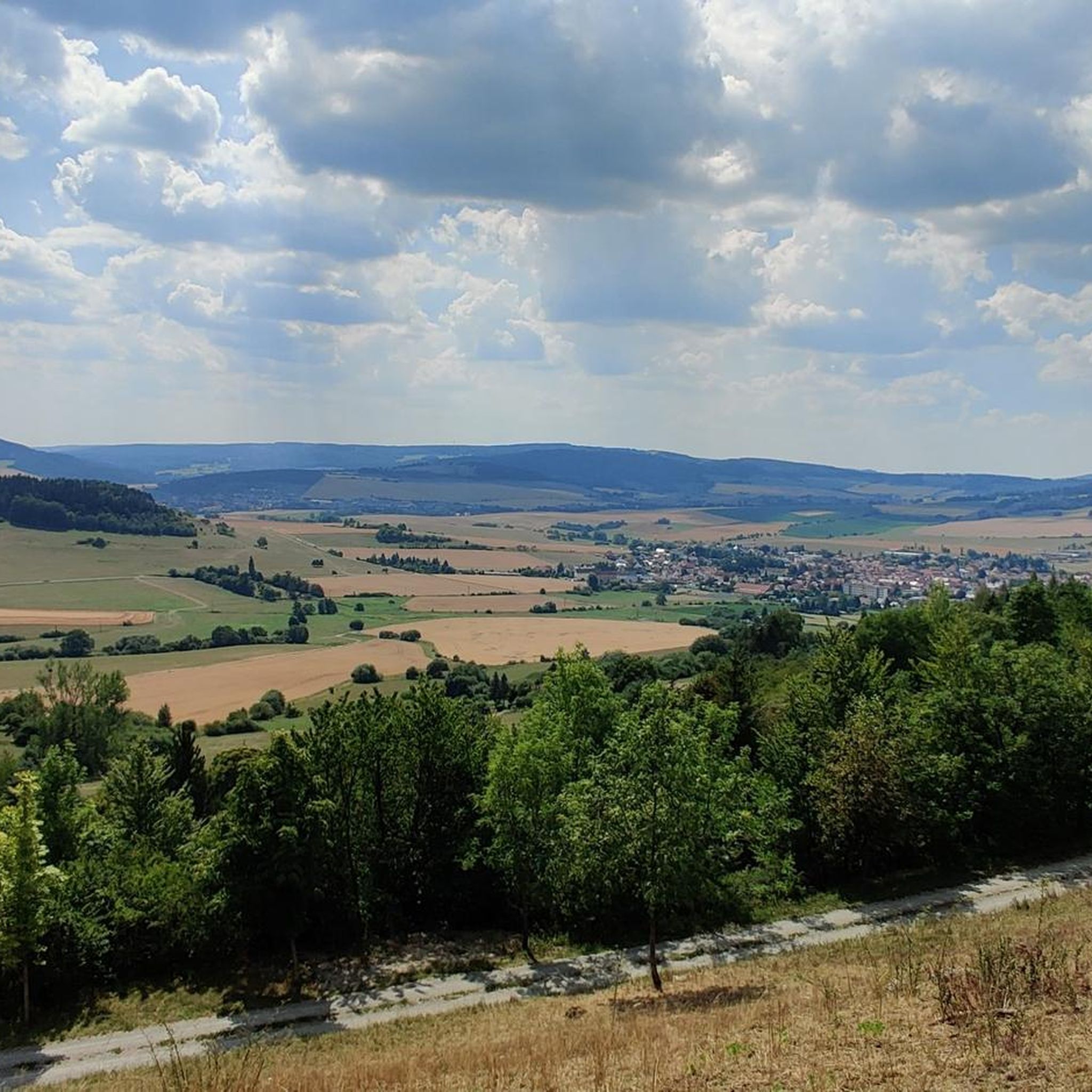
Beautiful view of the Rhön.
0
0

A truly picturesque old town with a beautiful town hall and impressive castle.
1
0
It's not only from the bench that you can enjoy a beautiful panorama!
1
0

Frequently Asked Questions
How many gravel bike trails are available around Kaltennordheim?
There are 6 gravel bike trails available around Kaltennordheim, offering a variety of experiences for different skill levels.
What kind of terrain can I expect on gravel bike trails in the Kaltennordheim area?
The Rhön region around Kaltennordheim offers a diverse mix of quiet gravel roads, forest paths, and smooth asphalt. You'll encounter wide, open ridges and hillier, forested sections, providing varied riding experiences from gentle rolls through meadows to more challenging ascents.
Are there any easy or beginner-friendly gravel routes in Kaltennordheim?
Yes, there are 2 moderate routes suitable for those looking for a less strenuous ride. One option is the Felda Rail Trail – Hohe Asch Summit loop from Dermbach, which combines a former rail trail with some ascents. Another moderate route is the Geiserämter Kreuz Viewpoint – Ulster River near Geisa loop from Geisa.
What are some challenging gravel bike routes for experienced riders?
For experienced riders seeking a challenge, there are 4 difficult routes. The Werratal Cycle Path – Schwarza Cycle Path loop from Zillbach is a demanding 74.8 km trail following river valleys. Another difficult option is the Milseburg Tunnel – View of Bieberstein Castle loop from Unterweid, a 56.3 km trail through scenic landscapes.
Are there any circular gravel bike routes in the Kaltennordheim area?
Yes, all the gravel bike routes listed for Kaltennordheim are loops, allowing you to start and finish at the same point. Examples include the Felda Rail Trail – Hohe Asch Summit loop from Dermbach and the Werratal Cycle Path – Schwarza Cycle Path loop from Zillbach.
What interesting landmarks or viewpoints can I find along the gravel trails?
The region is rich in scenic viewpoints and historical sites. You can visit the Pleß Tower for panoramic views, or the Noah's Segel Observation Tower on the Ellenbogen. The Buchschirmberg summit and Kreuz des Ostens (Cross of the East) also offers impressive vistas. For a historical stop, consider the Auersburg Castle Ruins with its observation tower.
Are there any natural features like lakes or waterfalls near the gravel routes?
Yes, the area features several beautiful natural spots. You can find the Bernshäuser Kutte lake, the Basalt Lake Waterfall, and the Grimmelbach Reservoir. These can offer refreshing stops or scenic detours during your ride.
What do other gravel bikers enjoy most about riding in Kaltennordheim?
The gravel routes around Kaltennordheim are highly rated by the komoot community, with an average score of 5.0 stars. Riders often praise the diverse landscapes, the mix of quiet gravel roads and forest paths, and the rewarding views from various summits and observation towers.
Is Kaltennordheim suitable for family-friendly gravel biking?
While specific family-friendly gravel routes are not detailed, the region's mix of quiet gravel roads and former rail trails, like sections of the Felda Rail Trail – Hohe Asch Summit loop from Dermbach, can offer gentler sections. The Rhön Biosphere Reserve also features nature trails that might be suitable for families, though some routes include significant elevation.
Are there options for parking near the gravel bike trails?
While specific parking locations are not detailed for each route, Kaltennordheim and surrounding towns like Dermbach and Unterweid, which serve as starting points for tours, generally offer parking facilities. It's advisable to check local parking options upon arrival.
What is the best time of year for gravel biking in Kaltennordheim?
The diverse terrain of the Rhön region makes it enjoyable for gravel biking across multiple seasons. Spring and autumn offer pleasant temperatures and vibrant scenery, while summer provides longer daylight hours. Winter riding is possible, but conditions may vary, with some trails potentially affected by snow or ice.
Can I bring my dog on the gravel bike routes?
Many outdoor trails in the Rhön region are generally dog-friendly, especially if your dog is accustomed to running alongside a bike. However, it's always recommended to keep dogs on a leash, especially in nature reserves or areas with wildlife, and to respect local regulations regarding pets on trails.
Most popular routes around Kaltennordheim
Most popular attractions around Kaltennordheim

Get inspired with the komoot mobile app


Explore more
Browse the best Gravel rides in other regions.
