The best gravel rides around Unterkatz
3.8
(3)
13
riders
4
rides
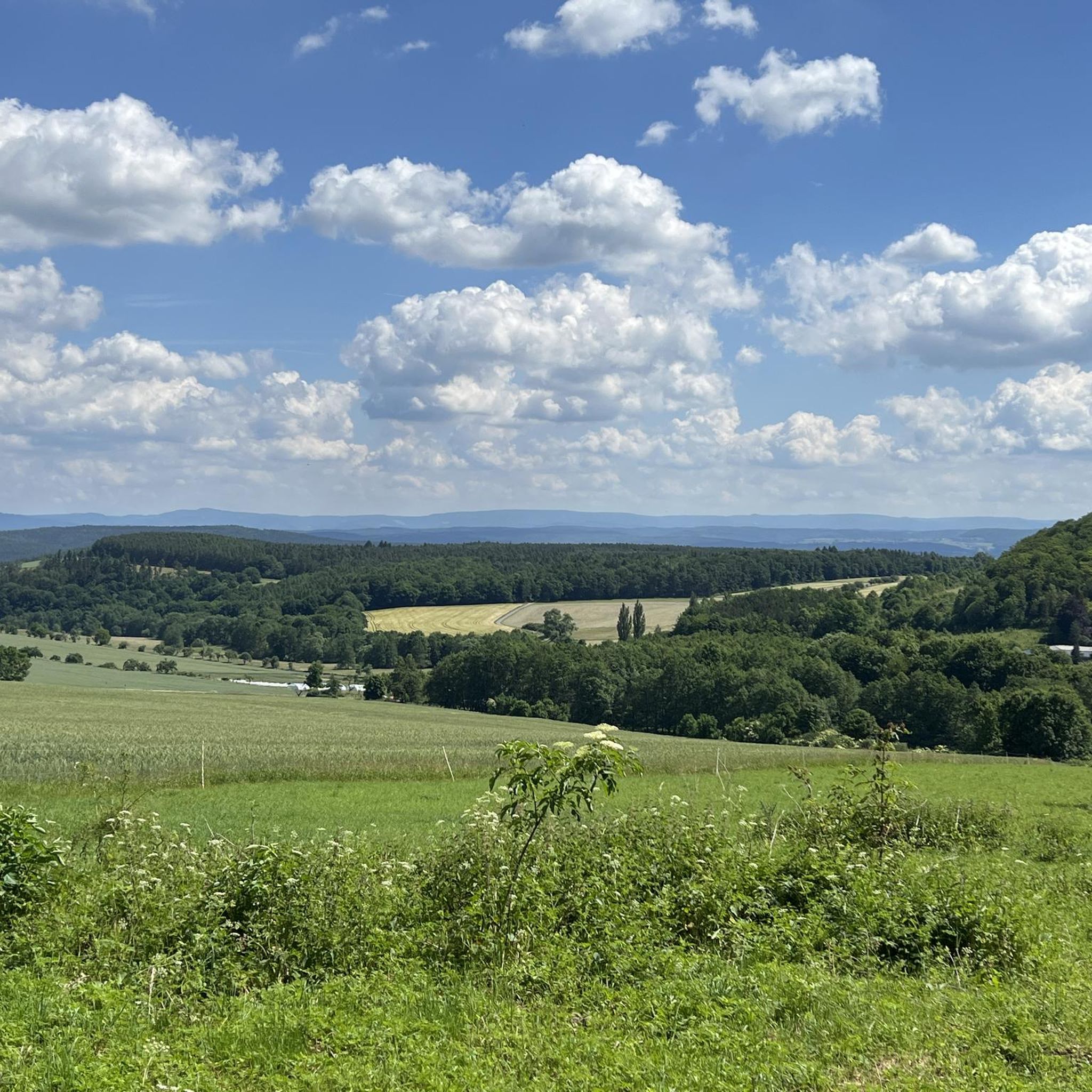
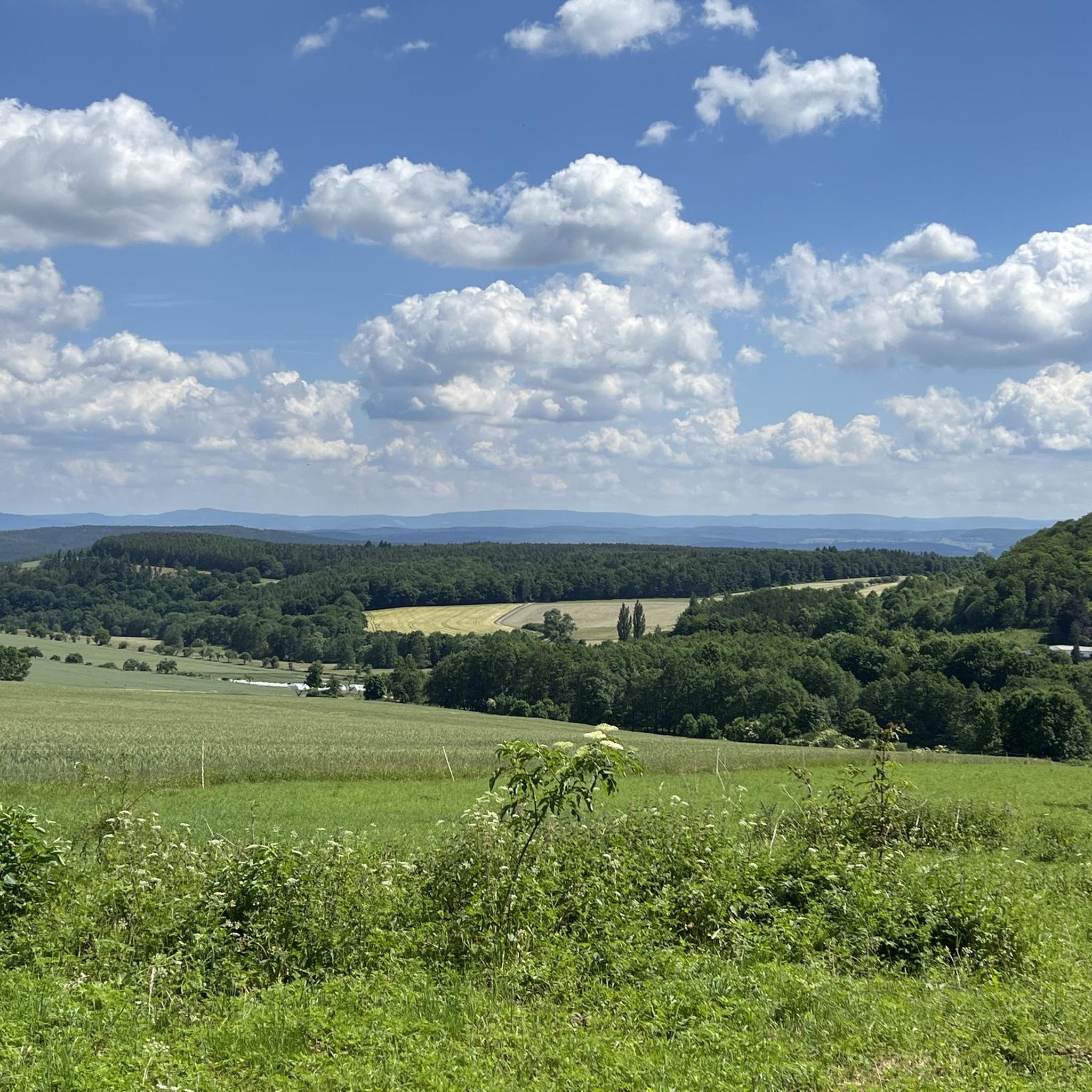
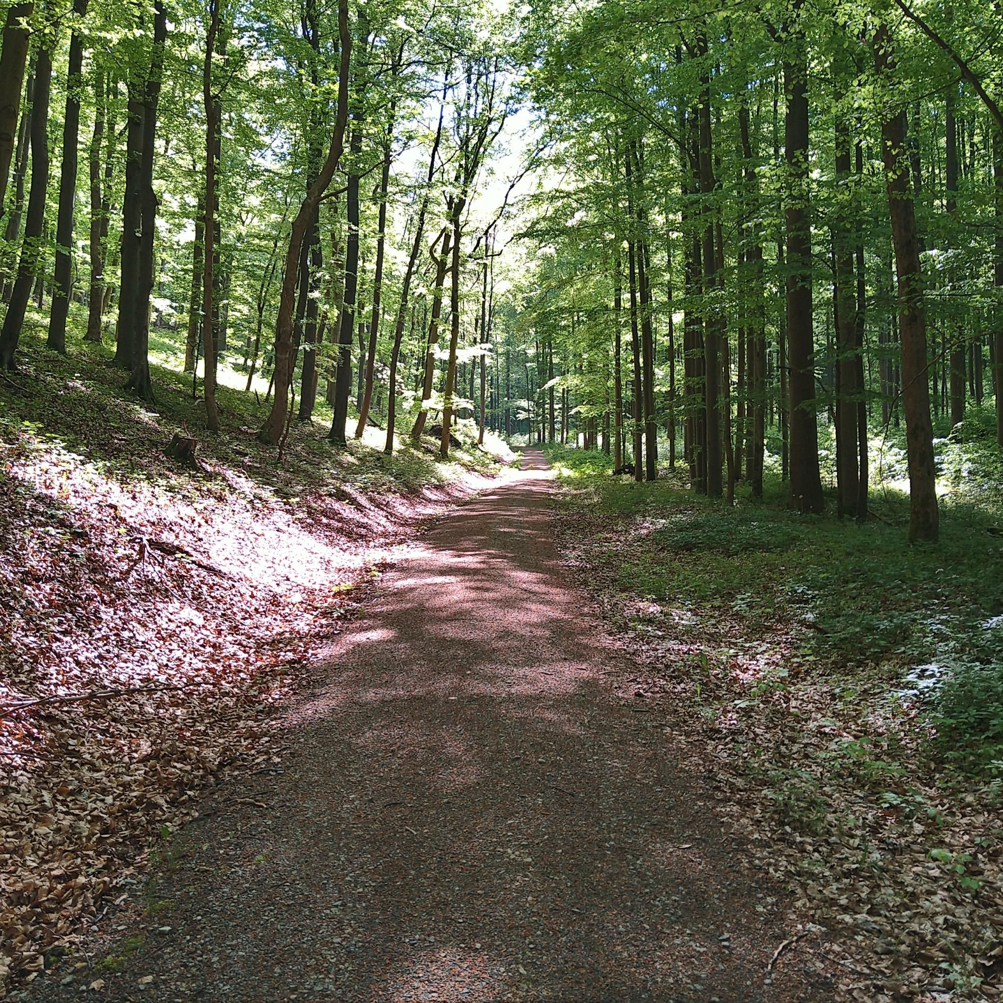
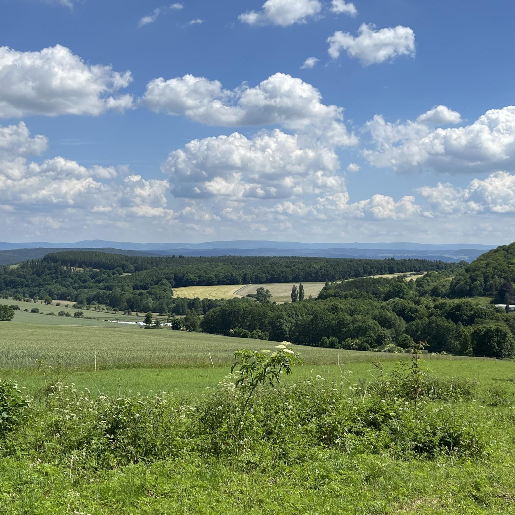
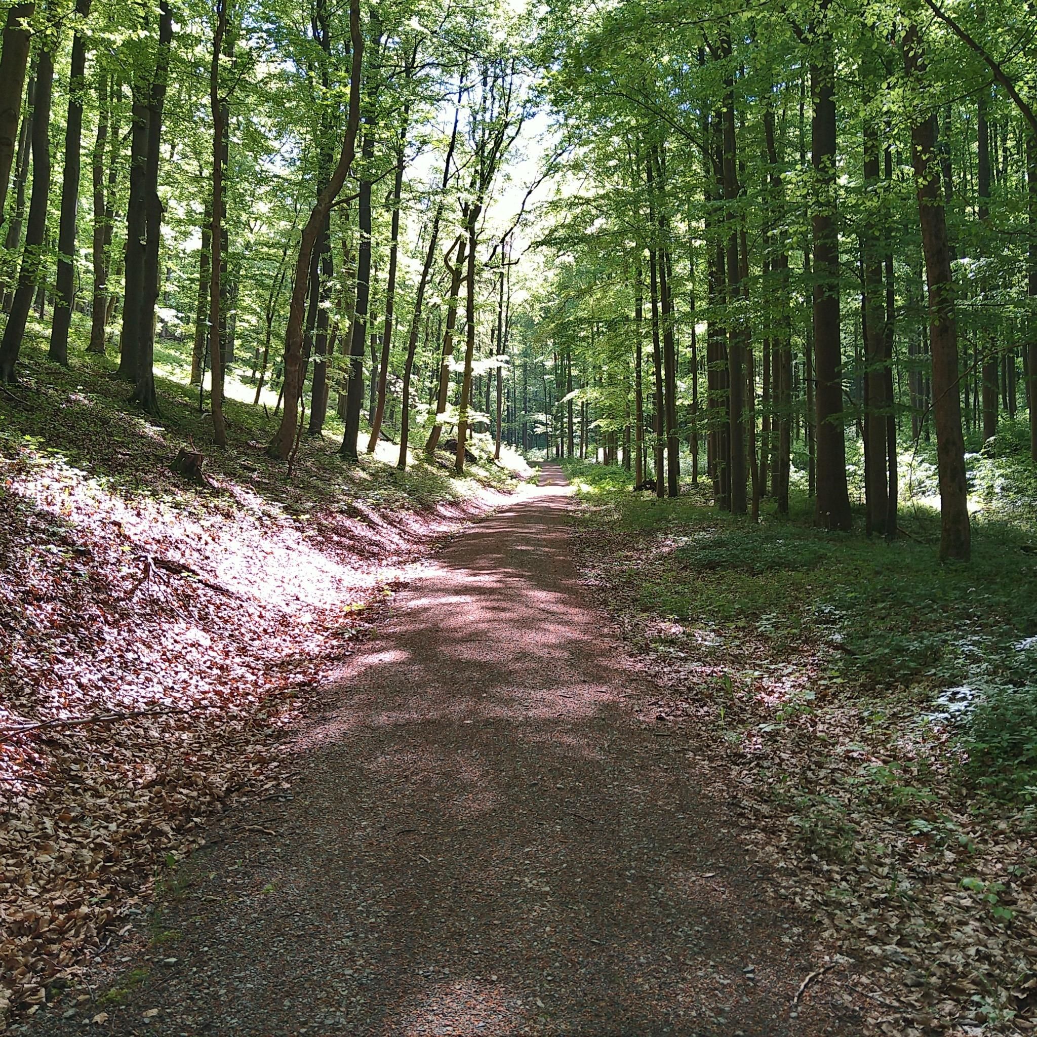
Gravel biking around Unterkatz offers diverse terrain through river valleys and forested areas, situated at the transition between the Vorderrhön mountains and the South Thuringian Bunter sandstone forestland. The landscape features rolling hills and open stretches, providing varied surfaces for gravel cyclists. Routes often follow established cycle paths and forest roads, connecting natural landmarks and smaller towns. The region's location in the Katzabach valley, with streams flowing into the Werra River, provides paths along riverbanks and through wooded areas.
Best…
Last updated: May 22, 2026
3.0
(1)
5
riders
23.4km
01:33
310m
310m
Moderate gravel ride. Good fitness required. Mostly paved surfaces. Suitable for all skill levels.
4.5
(2)
3
riders
28.9km
01:49
330m
330m
Moderate gravel ride. Good fitness required. Mostly paved surfaces. Suitable for all skill levels.

Sign up for free
1
riders
26.4km
01:42
370m
370m
Moderate gravel ride. Good fitness required. Mostly paved surfaces. Suitable for all skill levels.
2
riders
20.2km
01:14
260m
260m
Moderate gravel ride. Good fitness required. Mostly paved surfaces. Suitable for all skill levels.
2
riders
25.8km
01:41
420m
420m
Moderate gravel ride. Good fitness required. Mostly paved surfaces. Suitable for all skill levels.
Our route recommendations are based on thousands of hikes, rides, and runs completed by other people on komoot.
Start today with a free account
Your next adventure awaits.
Login or Signup
Tips from the Community

Very nice hotel and the food tasted good.
0
0

There is also a small wetland nearby. You can observe newts or great diving beetles there.
0
0

Beautiful shelter with a great view of the Inselsberg mountain.
2
0

Unfortunately, it's still closed. It's sad that the castle is falling into such disrepair.
1
0

Is Easter and Pentecost beautifully decorated 👍
0
0
A lovely restaurant set on spacious grounds. The tower can be climbed, and from here you can also access the high street. 👍🏻
3
0
From here you have a great view of the Geba.
3
0
Frequently Asked Questions
How many gravel bike trails are available around Unterkatz?
There are 5 gravel bike trails available around Unterkatz, offering a variety of experiences through the region's river valleys and forested areas.
Are there any long-distance gravel routes near Unterkatz?
Yes, Unterkatz offers several longer gravel routes. For example, the Werratal Cycle Path – Schwarza Cycle Path loop from Zillbach is a challenging 46.5-mile (74.8 km) route that explores two river valleys. Another option is the Old Vachdorf Station – Meiningen Arch Bridge loop from Goetz-Höhle, which covers 37.4 miles (60.2 km) through riverine landscapes.
What kind of terrain can I expect on gravel bike trails in Unterkatz?
The gravel biking terrain around Unterkatz is characterized by diverse surfaces, including rolling hills, open stretches, and sections through forested areas. Routes often follow established cycle paths and forest roads, connecting natural landmarks and smaller towns.
Are there any beginner-friendly gravel bike trails in Unterkatz?
While many routes offer varied terrain, the region generally features moderate to difficult trails. For a slightly shorter, yet still engaging ride, consider the Oberwallbachsmühle – Wallbach Valley loop from Walldorf (Werra), which is a moderate 14.5-mile (23.3 km) route.
What natural landmarks can I see while gravel biking around Unterkatz?
The region around Unterkatz is rich in natural beauty. You can encounter various mountain peaks such as Hohe Geba Summit or Hohe Löhr (638 m). There are also several huts and shelters like the Humpfershäuser Hut or Melkers Rock Cottage that you might pass along your ride.
Are there advanced gravel routes for experienced riders?
Yes, experienced riders will find challenging options. The Werratal Cycle Path – Schwarza Cycle Path loop from Zillbach is classified as difficult, spanning 46.5 miles (74.8 km) with significant elevation changes. Another difficult route is the Meiningen Market Square – Seeba Lake loop from Goetz-Höhle, covering 34.0 miles (54.8 km).
What is the best time of year for gravel biking in Unterkatz?
While gravel biking is enjoyable throughout the warmer months, spring and autumn often provide the most pleasant conditions with milder temperatures and beautiful scenery. Always check local weather forecasts before heading out.
Are there circular gravel bike routes available?
Many of the gravel routes around Unterkatz are designed as loops, allowing you to start and end at the same point. Examples include the Meiningen Market Square – Seeba Lake loop from Goetz-Höhle and the View of Großer Inselsberg – Inselberg View Shelter loop from Wasungen.
What do other gravel bikers say about the trails in Unterkatz?
The gravel biking routes in Unterkatz are highly rated by the komoot community, with an average score of 4.5 stars from over 21 reviews. Riders often praise the varied terrain, the mix of open paths and forested sections, and the scenic river valleys.
Can I find scenic viewpoints along the gravel trails?
Yes, the rolling hills and diverse landscape of Unterkatz offer several scenic viewpoints. Many routes provide vistas over river valleys and forested areas. You might also encounter highlights such as the Hohe Geba Summit or the Kalberg Summit (428 m) – Picnic Area, which offer panoramic views.
Are there any gravel routes that pass by interesting historical structures?
Yes, the region's routes often connect natural landmarks with smaller towns and historical points of interest. The Old Vachdorf Station – Meiningen Arch Bridge loop from Goetz-Höhle, for instance, leads through riverine landscapes and past historical structures, offering a blend of nature and heritage.
Most popular attractions around Unterkatz

Get inspired with the komoot mobile app


Explore more
Browse the best Gravel rides in other regions.
