The best gravel rides around Unterschönau
4.3
(37)
209
riders
33
rides
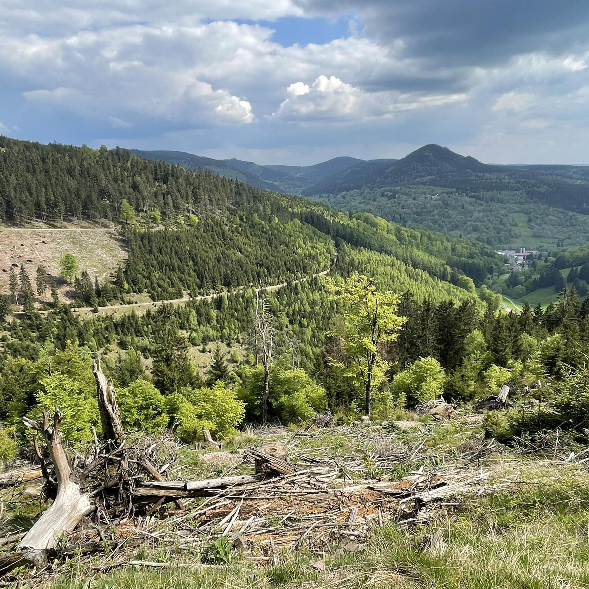
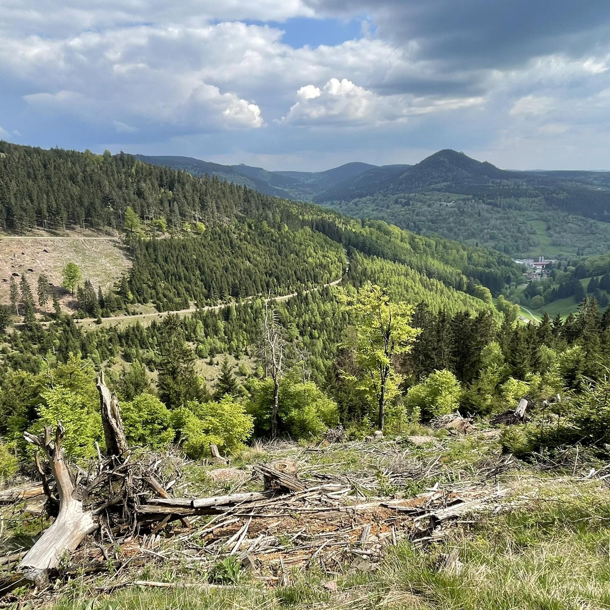
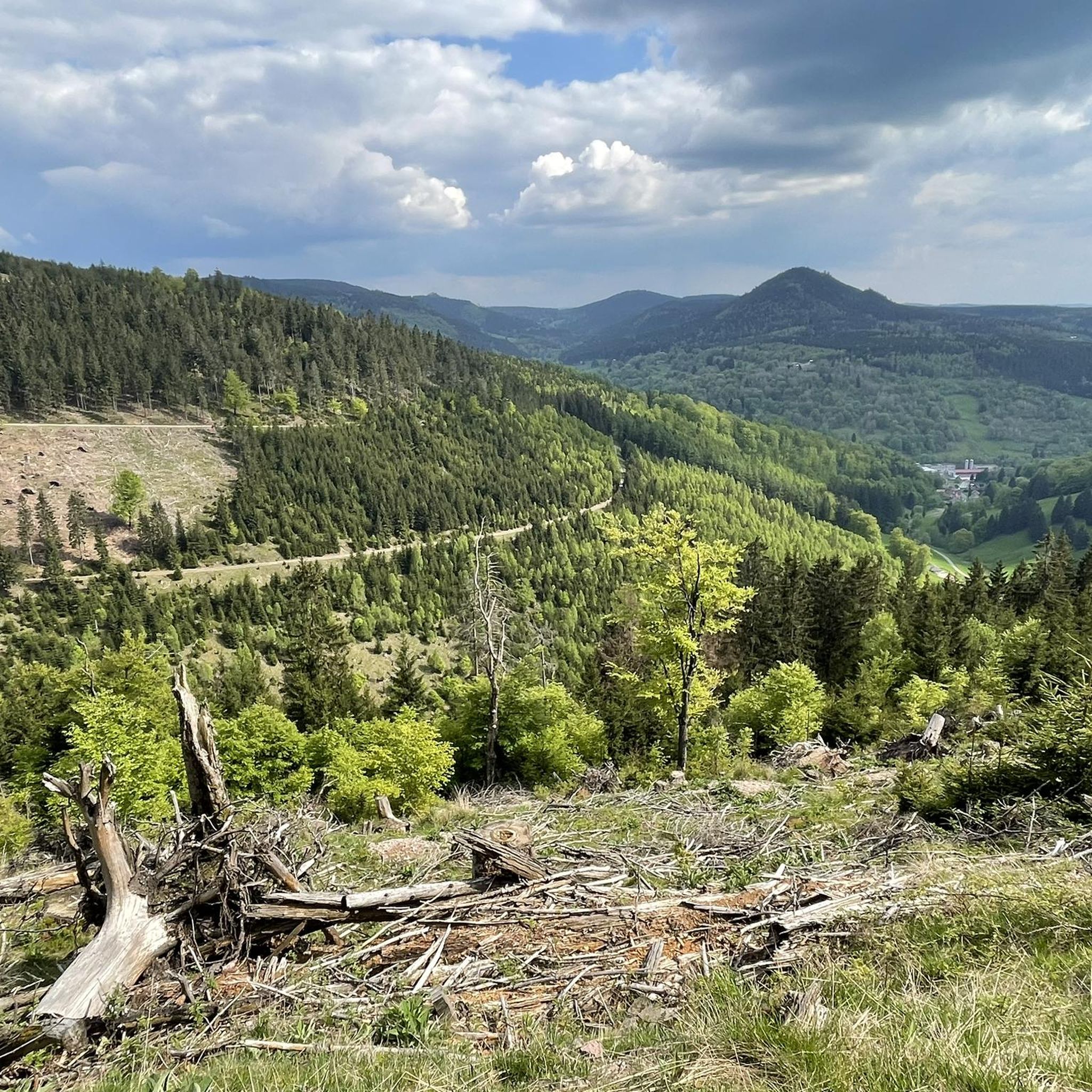
Gravel biking around Unterschönau is situated within the Thuringian Forest, a low mountain range characterized by dense woodlands, varied landscapes, and mountain streams. The region offers a mix of firm forest roads, natural paths, and some asphalted sections, providing diverse riding conditions. Significant elevation changes are present, with routes featuring both challenging climbs and rewarding descents. The area's topography, from gentle meadows to challenging forest paths, makes it suitable for gravel biking.
Best gravel bike trails around Unterschönau
- The most…
Last updated: October 6, 2026
4.9
(7)
43
riders
38.8km
02:44
850m
850m
Hard gravel ride. Very good fitness required. Mostly paved surfaces. Suitable for all skill levels.
3.0
(2)
25
riders
Moderate gravel ride. Good fitness required. Mostly paved surfaces. Suitable for all skill levels.

3.5
(2)
10
riders
11.3km
00:48
160m
160m
Moderate gravel ride. Good fitness required. Mostly paved surfaces. Suitable for all skill levels.
4.6
(5)
19
riders
Moderate gravel ride. Good fitness required. Mostly paved surfaces. Suitable for all skill levels.
5
riders
35.7km
02:28
660m
660m
Hard gravel ride. Very good fitness required. Mostly paved surfaces. Suitable for all skill levels.
Get access to more routes and recommendations from other explorers.
Already have an account?
Our route recommendations are based on thousands of hikes, rides, and runs completed by other people on komoot.
Start today with a free account
Your next adventure awaits.

Tips from the Community

The Große Inselsberg near Bad Tabarz, at 916.5 m, is the highest, widely visible elevation in the western Thuringian Forest. It has marked historical borders for over 1,000 years, currently between the districts of Gotha and Schmalkalden-Meiningen. Source: https://www.tourismus-thueringer-wald.de/aktiv/grosser-inselsberg-mit-aussichts-und-erlebnisturm
1
0

The restaurant belongs to the hotel. The inviting beer garden is recommended.
0
0

Particularly scenic at sunset.
1
0

Very nice hotel and the food tasted good.
0
0

Beautiful shelter with a great view of the Inselsberg mountain.
2
0

It's a great place for hiking.
0
0
These markings make hiking easier.
1
0
It's a great place for hiking.
0
0
Frequently Asked Questions
How many gravel bike trails are available around Unterschönau?
There are over 40 gravel bike trails around Unterschönau, offering a wide range of options for different skill levels. The komoot community has explored these routes over 280 times.
What kind of terrain can I expect on gravel bike trails in Unterschönau?
The trails in Unterschönau, nestled within the Thuringian Forest, feature a diverse mix of firm forest roads, natural paths, and some asphalted sections. You can expect significant elevation changes, providing both challenging climbs and rewarding descents through lush woodlands and mountain streams.
Are there gravel routes suitable for beginners in Unterschönau?
Yes, there are options for beginners. While many routes are moderate to difficult, you can find easier trails. For example, the Wachsenrasen Stone Shelter – Gustav-Freytag-Stein Shelter loop from Schützenbergmoor is a moderate route that offers a scenic loop through the forest, suitable for those looking for a less strenuous ride.
Are there challenging gravel routes for experienced riders?
Absolutely. The region offers numerous demanding routes with significant elevation gain. For a challenging experience, consider the Hundsrück Tunnel – Hundsrücktunnel loop from Mittelstille, which is rated as difficult and features varied terrain over 24.9 miles.
What do other gravel bikers say about the trails in Unterschönau?
The gravel biking routes in Unterschönau are highly rated by the komoot community, with an average score of 4.5 stars from over 40 reviews. Riders often praise the extensive Thuringian Forest, the varied elevation, and the network of well-maintained forest roads and natural paths.
Are there any waterfalls along the gravel bike trails in Unterschönau?
Yes, the region features several beautiful waterfalls. You might encounter the Spitterfall or the Spitterfall Waterfall, which are notable natural attractions in the area.
What natural features or viewpoints can I explore while gravel biking?
Beyond waterfalls, you can discover several natural highlights. The Ebertswiese Mountain Meadow is a natural monument with a serene mountain lake, perfect for a break. The Violet Fountain provides refreshing spring water, and elevated points like Schneekopf and Hohe Warte offer panoramic views, known as 'Thuringian gravel summit moments'.
Are there places to rest or find shelter on the trails?
Yes, the Thuringian Forest has several huts and shelters. You might come across the Shelter "Stein 16" or the Veilchenbrunnen Mountain Hut, which offer cozy resting spots. The Violet Fountain also serves as a refreshing stop.
Are there any circular gravel bike routes in Unterschönau?
Many routes in the area are designed as loops, allowing you to start and end at the same point. An example is the Wallbach Valley – Werratal Cycle Path loop from Schmalkalden-Fachhochschule, which takes you through scenic valleys and along a cycle path.
Can I find family-friendly gravel trails in Unterschönau?
While specific family-friendly routes are not explicitly highlighted as 'easy' in large numbers, the region offers varied terrain. Look for routes with minimal elevation gain and shorter distances, which can be more suitable for families. The general nature of forest roads can be enjoyable for all ages.
What is the best time of year for gravel biking in Unterschönau?
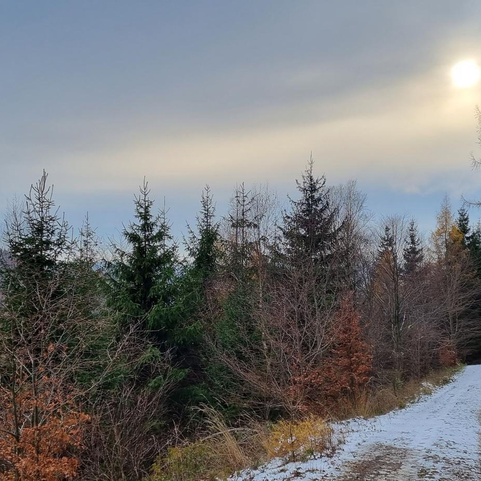
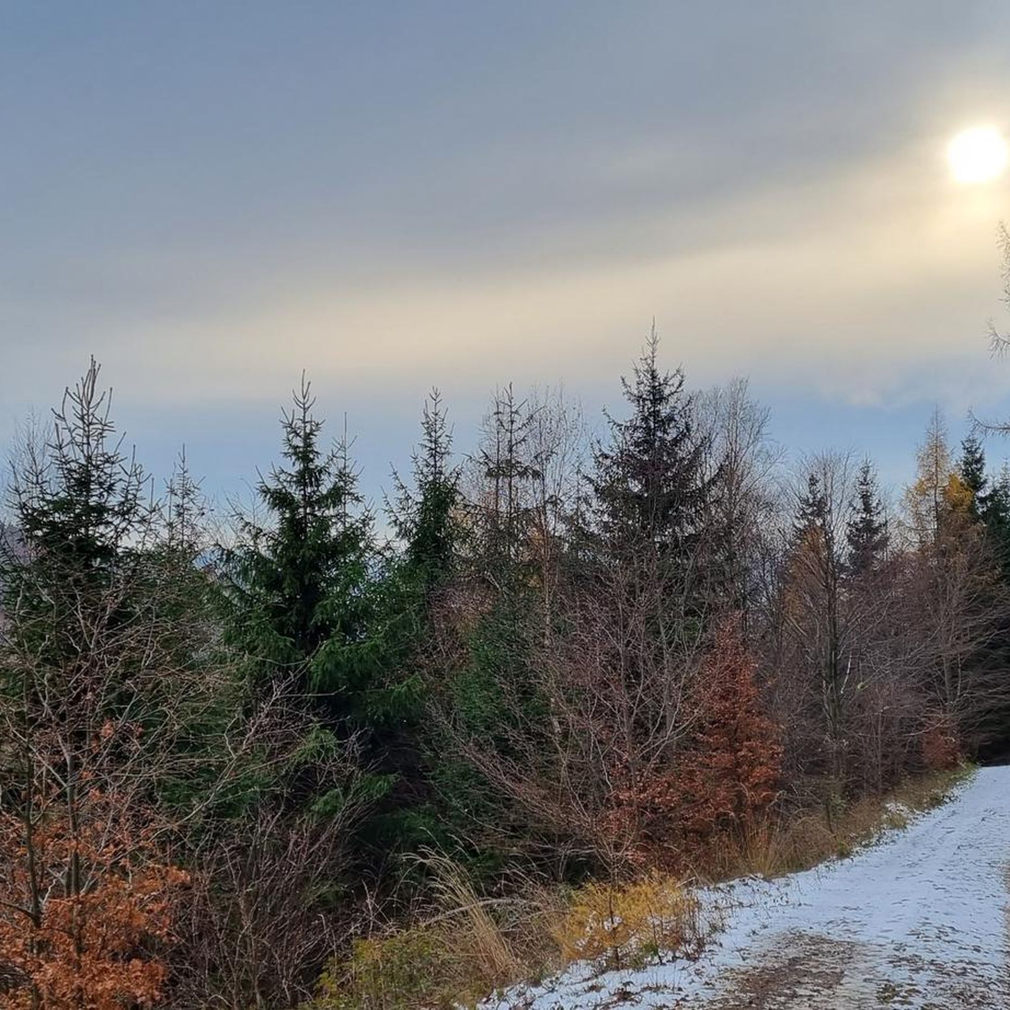
The Thuringian Forest is beautiful throughout the warmer months, typically from spring to autumn. These seasons offer pleasant temperatures and lush scenery. While winter riding is possible, be prepared for colder weather and potentially snowy or icy conditions on some trails.
Is public transport available to access gravel biking trails in Unterschönau?
Unterschönau is situated within the Thuringian Forest, and while specific public transport options directly to trailheads may vary, regional buses and trains connect to nearby towns. It's advisable to check local transport schedules for connections to starting points like Schmalkalden-Fachhochschule or Tambach-Dietharz, from where several routes begin.
Most popular attractions around Unterschönau

Get inspired with the komoot mobile app


Explore more
Browse the best Gravel rides in other regions.
