The best gravel rides around Tambach-Dietharz
4.4
(51)
336
riders
61
rides
Gravel biking around Tambach-Dietharz offers a diverse landscape characterized by dense forests, rolling hills, and numerous water bodies. The region features a network of unpaved roads and trails, providing varied terrain for gravel cyclists. Elevation changes are common, with routes traversing valleys and ascending to viewpoints. This area is part of the Thuringian Forest, known for its natural beauty and extensive trail systems.
Best gravel bike trails around Tambach-Dietharz
- The most popular gravel bike trail is Wachsenrasen Stone Shelter –…
Last updated: May 21, 2026
3.0
(2)
23
riders
Moderate gravel ride. Good fitness required. Mostly paved surfaces. Suitable for all skill levels.
4.5
(2)
11
riders
45.6km
03:16
900m
900m
Hard gravel ride. Very good fitness required. Mostly paved surfaces. Suitable for all skill levels.

Sign up for free
5.0
(1)
7
riders
27.4km
02:12
770m
770m
Hard gravel ride. Very good fitness required. Mostly paved surfaces. Suitable for all skill levels.
5.0
(4)
19
riders
Hard gravel ride. Good fitness required. You may need to push your bike for some segments of this route.
4
riders
36.9km
02:50
760m
760m
Hard gravel ride. Very good fitness required. Mostly paved surfaces. Suitable for all skill levels.
Get access to more routes and recommendations from other explorers.
Sign up for free
Already have an account?
Our route recommendations are based on thousands of hikes, rides, and runs completed by other people on komoot.
Start today with a free account
Your next adventure awaits.
Login or Signup

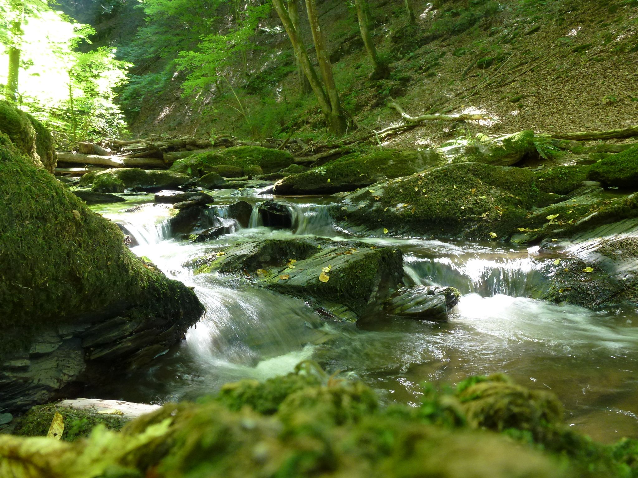
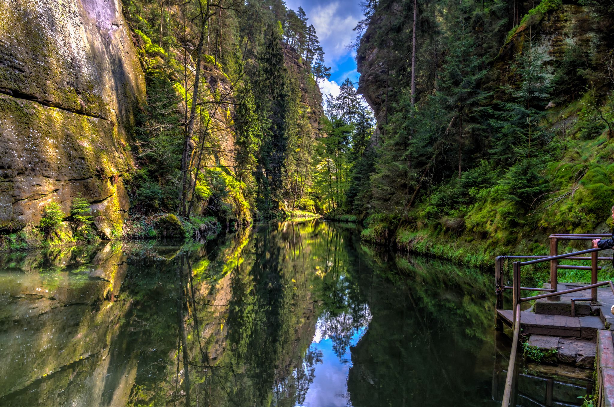
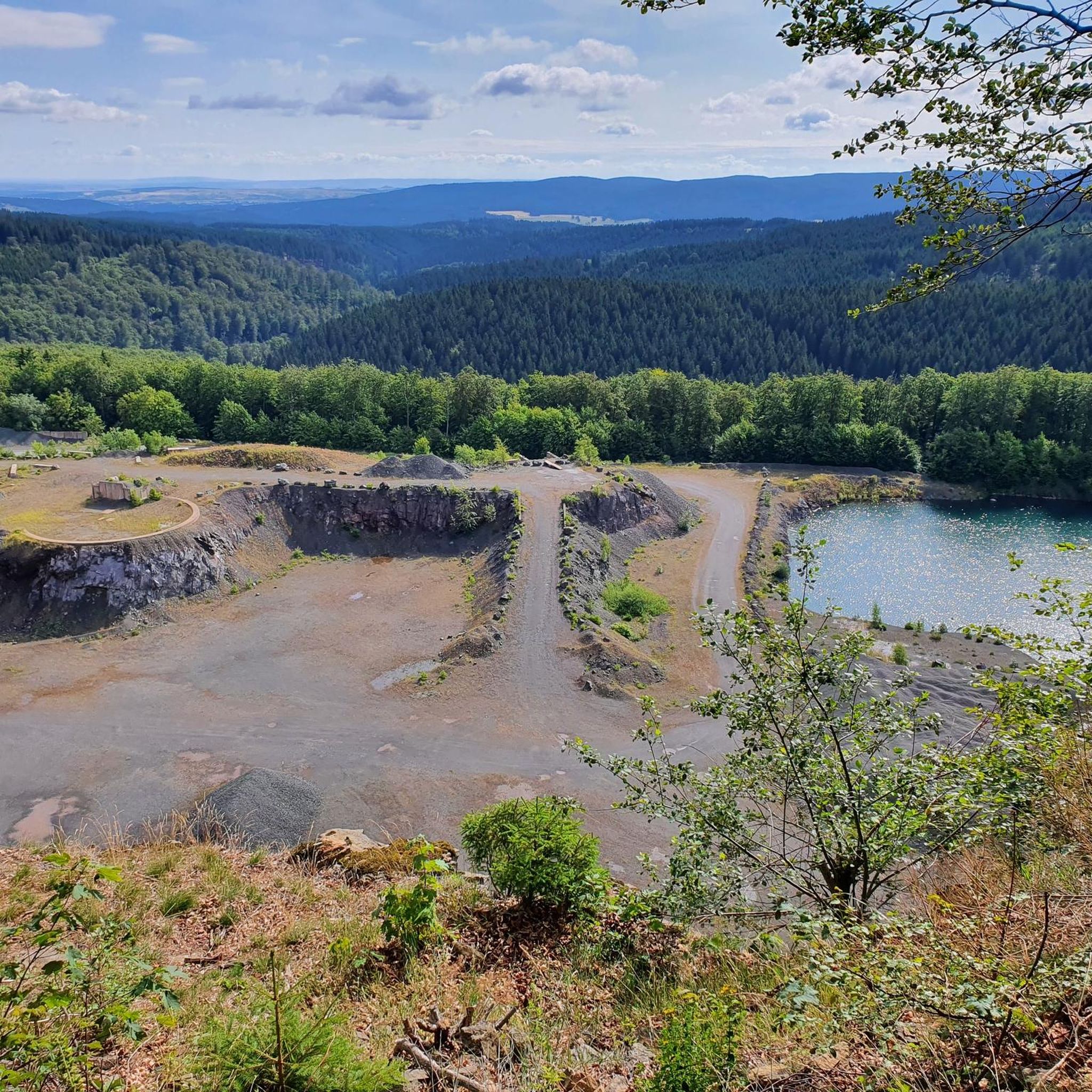



Tips from the Community

A now beautiful fairytale castle.
0
0
A fairytale castle with over 1,000 years of history.
0
0

The title of this highlight is misleading; there is no tunnel at this location! Beautiful cycle path on an old railway line.
0
0
Currently, there is a good view from up here of the old railway viaduct over the Schmalkalde and the tunnel portal.
0
0

It's a great place for hiking.
0
0

A great viewpoint, with a sign explaining what you can see in the distance.
16
1

Great route, varied, beautiful views
1
0
Frequently Asked Questions
How many gravel bike trails are available around Tambach-Dietharz?
There are over 70 gravel bike routes documented around Tambach-Dietharz on komoot, offering a wide range of experiences for cyclists. The region is known for its diverse terrain within the Thuringian Forest.
Are there any easy gravel bike trails suitable for beginners in Tambach-Dietharz?
While many routes in Tambach-Dietharz are rated moderate to difficult due to the hilly terrain, there are some moderate options that beginners with a reasonable fitness level might enjoy. For example, the Wachsenrasen Stone Shelter – Gustav-Freytag-Stein Shelter loop from Schützenbergmoor is a moderate 16.8 km trail through forested areas.
What kind of long-distance gravel routes can I find in the area?
Tambach-Dietharz offers several challenging long-distance gravel routes. One notable option is the Hammer Pond, Georgenthal – Flößgraben Circular Trail loop from Tambach-Dietharz, which spans 78.2 km and features extensive forest paths and water bodies, providing a demanding ride.
Are there any circular gravel bike routes around Tambach-Dietharz?
Yes, many of the gravel bike routes in Tambach-Dietharz are designed as circular loops, allowing you to start and end at the same point. Examples include the Wachsenrasen Stone Shelter – Gustav-Freytag-Stein Shelter loop and the Great Inselsberg – Reinhardsbrunn Ponds loop from Finsterbergen.
What are some challenging gravel bike trails in Tambach-Dietharz?
For experienced gravel bikers seeking a challenge, the region has numerous difficult routes. The Great Inselsberg – Reinhardsbrunn Ponds loop from Finsterbergen, with its ascent to Great Inselsberg, is a popular difficult trail. Another demanding option is the Spießberg Observation Tower – View from Spießbergturm loop from Tambach-Dietharz.
What attractions or viewpoints can I expect to see along the gravel trails?
The gravel trails often lead through scenic areas with natural attractions. You might encounter beautiful water bodies like Lütsche Dam or Upper Sieglitz Pond. The region also features impressive gorges such as Bärenbruchsgraben Gorge and Spittergrund Gorge, offering stunning natural beauty.
Is Tambach-Dietharz a good destination for family-friendly gravel biking?
While many routes are moderate to difficult, families with older children or those comfortable with some elevation gain can find suitable paths. Look for shorter, less steep sections or explore paths around the reservoirs for a more relaxed experience. Always check the route details for elevation and distance to ensure it matches your family's ability.
What do other gravel bikers say about the trails in Tambach-Dietharz?
The gravel biking routes in Tambach-Dietharz are highly regarded by the komoot community, with an average rating of 4.6 stars from over 70 reviews. Cyclists often praise the diverse forested landscapes, the well-maintained unpaved roads, and the variety of challenges offered by the terrain.
Are there gravel bike routes that pass by reservoirs or lakes?
Yes, the region is characterized by numerous water bodies. The Ohra Reservoir – Ohra Dam loop from Tambach-Dietharz is a prime example, offering scenic views around the reservoir. Many routes also incorporate sections near other ponds and lakes, providing picturesque cycling experiences.
What is the best time of year for gravel biking in Tambach-Dietharz?
The best time for gravel biking in Tambach-Dietharz is generally from spring to autumn (April to October). During these months, the weather is usually milder, and the forest trails are more accessible. Autumn offers particularly beautiful scenery with changing leaf colors, while spring brings fresh greenery.
Are there any specific considerations for parking when gravel biking in Tambach-Dietharz?
Many trailheads and popular starting points in and around Tambach-Dietharz offer designated parking areas. It's advisable to check the specific route details on komoot for information on parking availability near your chosen starting point. Parking facilities are often available in the town center or at popular recreational spots.
Can I access gravel bike trails in Tambach-Dietharz using public transport?
Tambach-Dietharz is connected by local bus services, which can provide access to the town and some surrounding areas. While direct public transport access to every trailhead might be limited, you can often reach the town center and start your ride from there, connecting to the extensive network of trails. Check local bus schedules for specific routes and stops.
Most popular routes around Tambach-Dietharz
Most popular attractions around Tambach-Dietharz

Get inspired with the komoot mobile app


Explore more
Browse the best Gravel rides in other regions.
