The best gravel rides around Steinhausen an der Rottum
4.7
(22)
201
riders
11
rides
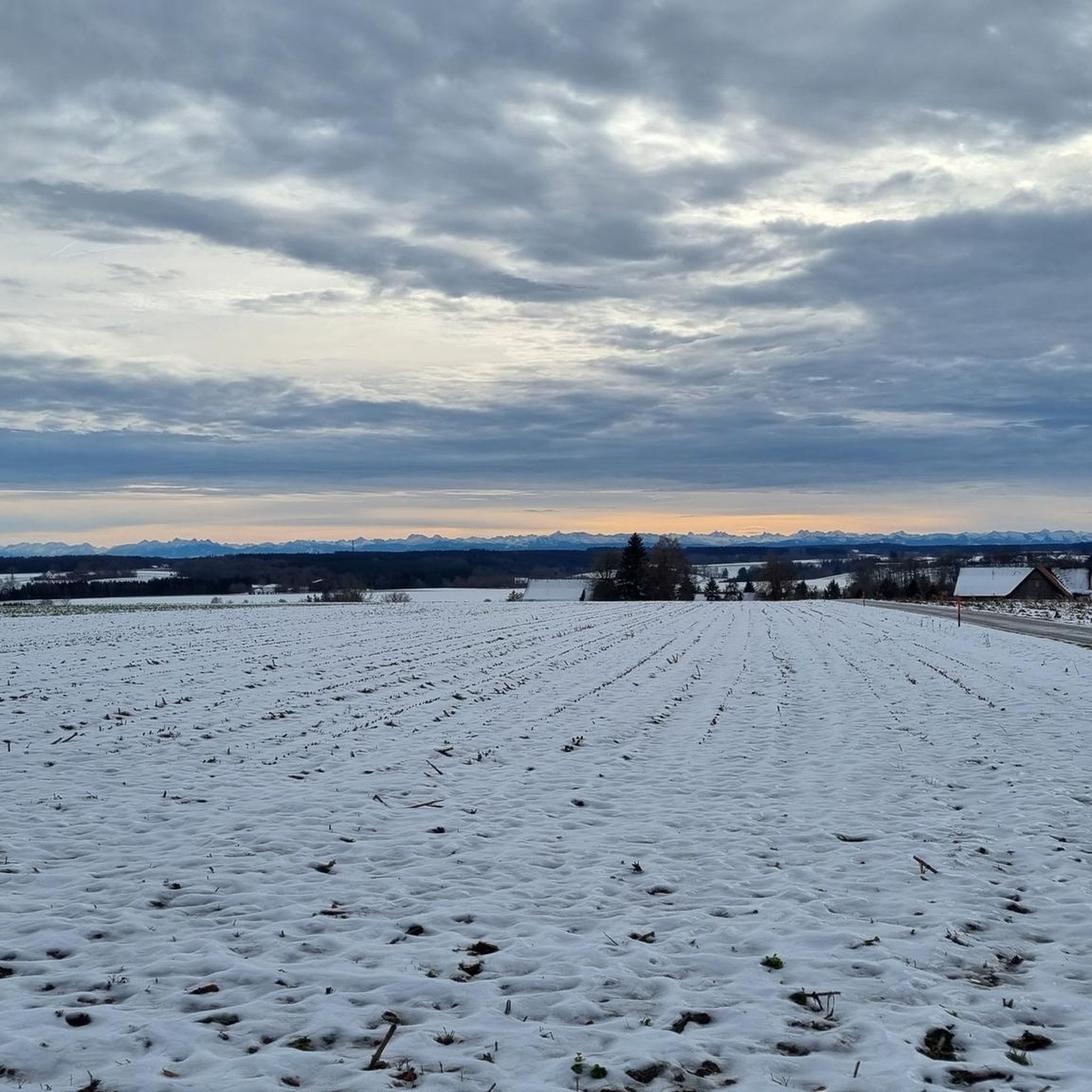
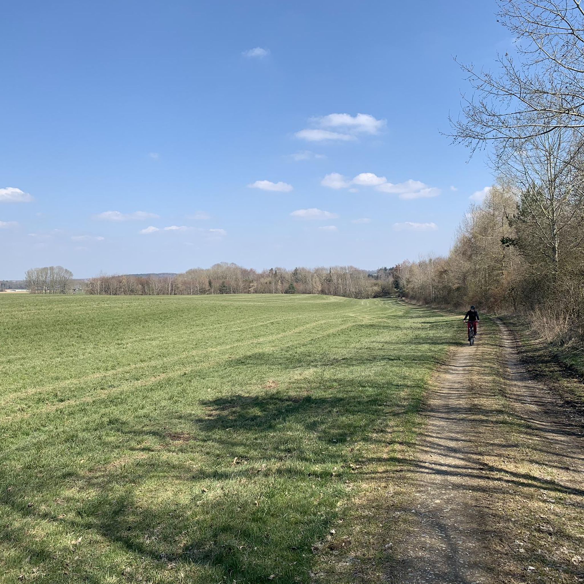
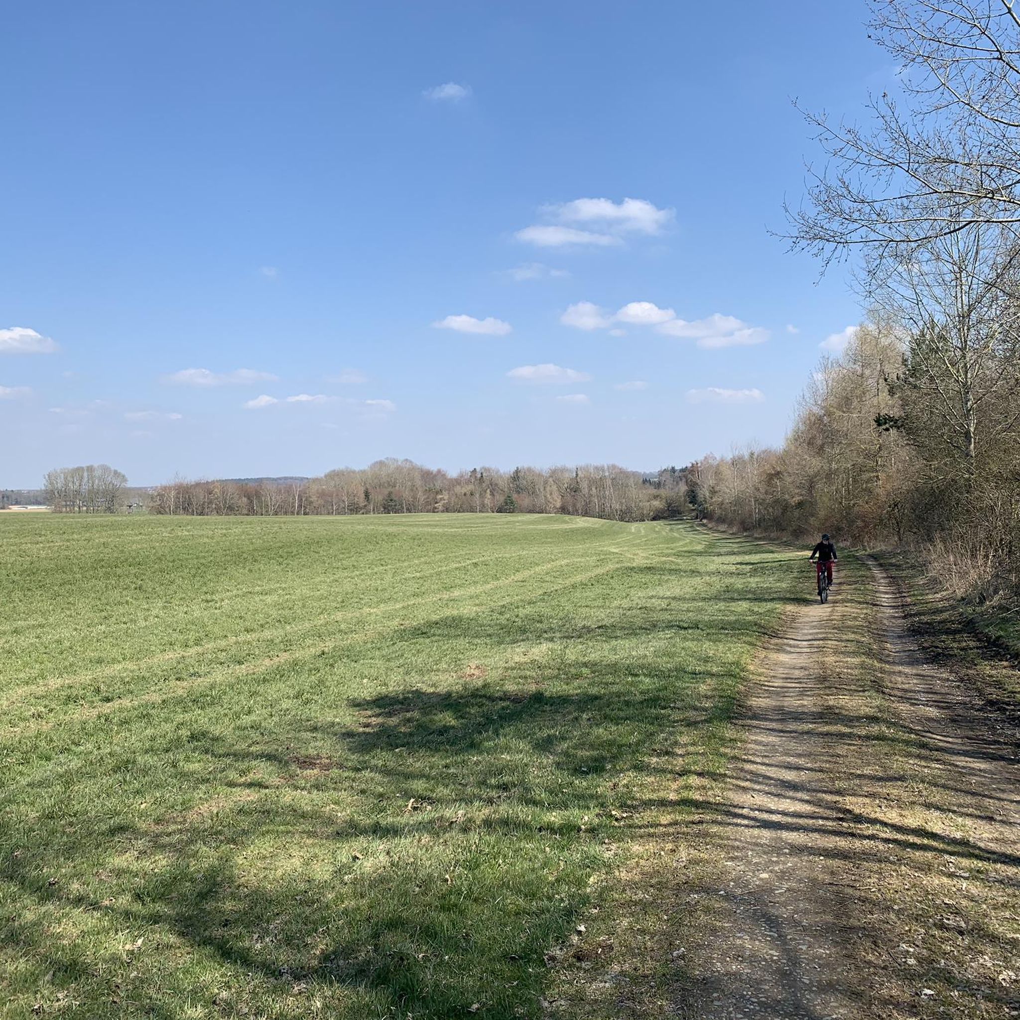
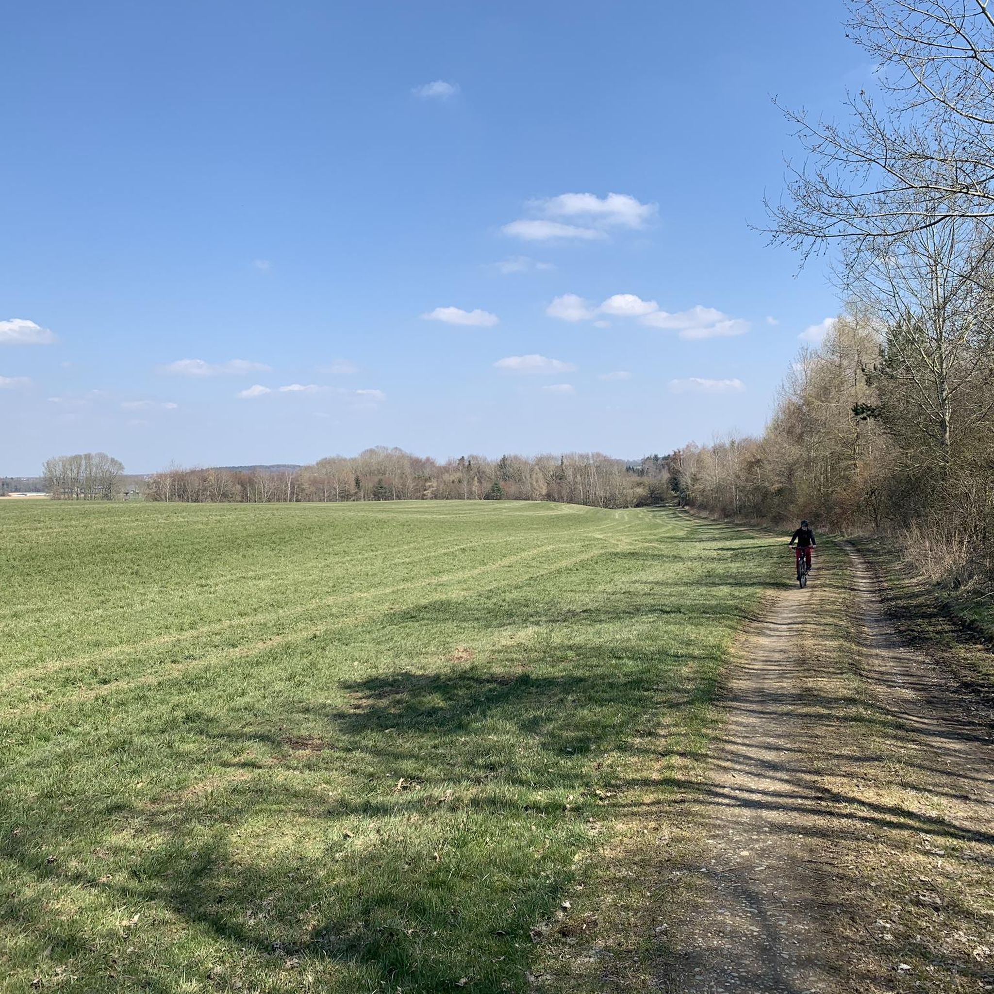
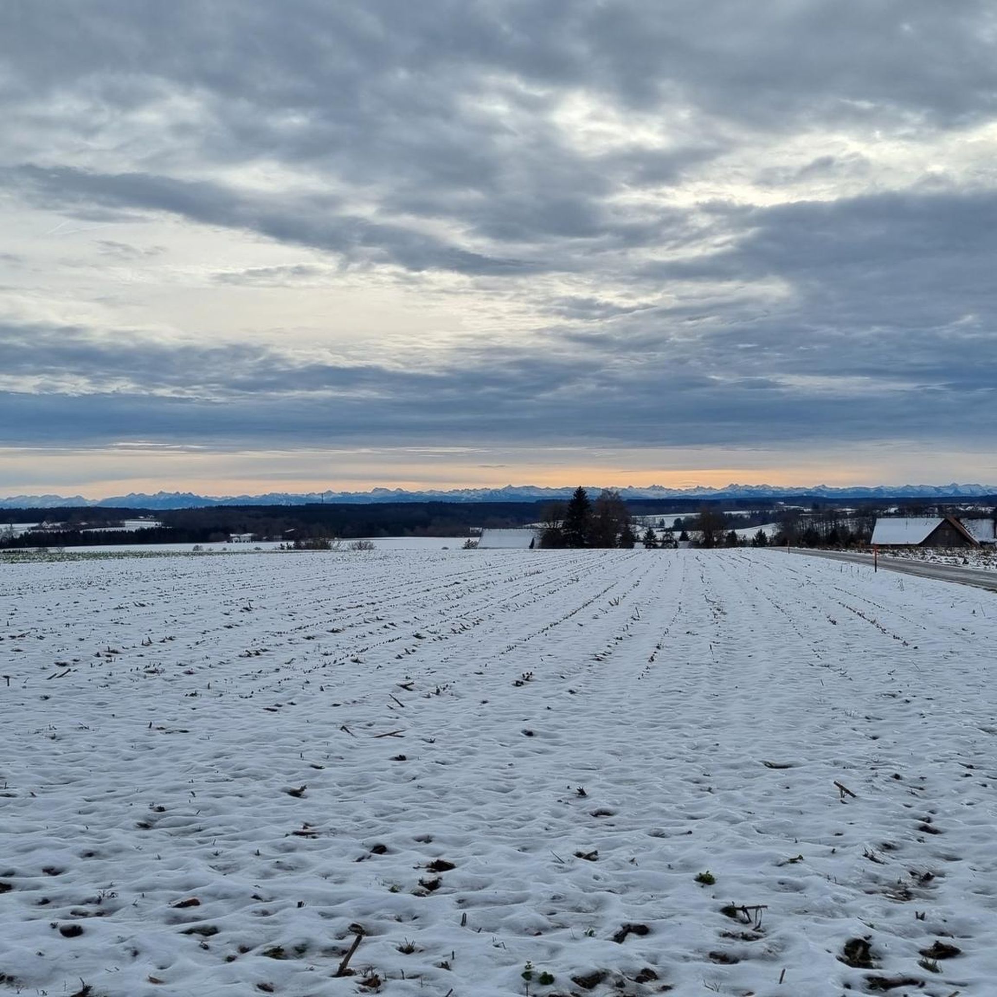
Gravel biking around Steinhausen an der Rottum features routes through the Upper Swabian landscape, characterized by rolling hills, river valleys, and agricultural areas. The region offers a mix of paved and unpaved paths, suitable for various gravel biking experiences. Trails often follow waterways like the Iller and pass by local reservoirs and nature reserves. The terrain generally presents moderate elevation changes, making it accessible for different skill levels.
Best gravel bike trails around Steinhausen an der Rottum
- The most popular…
Last updated: May 21, 2026
4.0
(1)
16
riders
39.1km
02:31
290m
290m
Moderate gravel ride. Good fitness required. Mostly paved surfaces. Suitable for all skill levels.
4.0
(2)
20
riders
74.6km
04:45
990m
990m
Hard gravel ride. Very good fitness required. Mostly paved surfaces. Suitable for all skill levels.

Sign up for free
17
riders
Hard gravel ride. Very good fitness required. You may need to push your bike for some segments of this route.
8
riders
75.5km
04:47
810m
810m
Hard gravel ride. Very good fitness required. Mostly paved surfaces. Suitable for all skill levels.
11
riders
Moderate gravel ride. Good fitness required. Mostly paved surfaces. Suitable for all skill levels.
Get access to more routes and recommendations from other explorers.
Sign up for free
Already have an account?
Our route recommendations are based on thousands of hikes, rides, and runs completed by other people on komoot.
Start today with a free account
Your next adventure awaits.
Login or Signup
Tips from the Community

Unfortunately closed due to repeated vandalism, what a shame!!!
1
0

Beautiful suspension bridge over the Iller with a viewing tower offering a magnificent view. It swings quite a bit in strong winds.
0
0
Imposing suspension bridge over the Iller
1
0

The suspension bridge and the approximately 20-meter-high observation tower invite visitors to explore. From the tower, you can enjoy a magnificent view of the weir and the idyllic floodplains of the Iller River. A pebble beach is also located nearby, right on the riverbank, perfect for dipping your feet in the cool water.
2
0

The monastery garden is beautifully laid out.
0
0

The table and bench have been set up again and may be used.
0
0

The blue suspension bridge spans the river near Rotkreuz and offers an exciting crossing with a gentle sway – a popular photo spot and stop for hikers. Directly next to it is a freely accessible observation tower, from which you can enjoy magnificent views of the Iller and the surrounding landscape. Both locations are easily integrated into a circular hike and offer a beautiful combination of nature experience and views.
7
0

A very beautiful bike path. A dream to ride.
0
0
Frequently Asked Questions
How many gravel bike trails are available around Steinhausen an der Rottum?
There are 19 gravel bike trails recorded on komoot in the Steinhausen an der Rottum area. These routes offer a diverse experience, ranging from easy to difficult, catering to various skill levels.
Are there easy gravel bike trails suitable for beginners in Steinhausen an der Rottum?
Yes, the region offers 4 easy gravel bike trails perfect for beginners or those looking for a relaxed ride. These routes typically feature moderate elevation changes and a mix of paved and unpaved paths. One example is the Iller Bridge Buxheim-Arlach – At the Rot loop from Edenbachen, which is a moderate 39.1 km route.
Are there challenging gravel bike routes for advanced riders?
For advanced gravel bikers seeking a challenge, there are 4 difficult routes available. These trails often feature more significant elevation changes and potentially rougher terrain. The Haslach Reservoir – Along the Wurzacher Ried loop from Tannheim (Württ) is a demanding 65.8 km trail that takes about 5 hours 21 minutes to complete.
What kind of scenery can I expect on gravel bike trails near Steinhausen an der Rottum?
The gravel bike trails in this region traverse the beautiful Upper Swabian landscape, characterized by rolling hills, picturesque river valleys, and agricultural areas. You'll often find routes following waterways like the Iller and passing by local reservoirs and nature reserves, offering varied and scenic views.
Are the gravel bike trails around Steinhausen an der Rottum suitable for families?
Many of the trails, especially the easier and moderate ones, are suitable for families. The terrain generally presents moderate elevation changes, making it accessible. Look for routes that are shorter in distance and have less elevation gain for a more family-friendly experience.
How long do gravel bike trails typically take to complete in this area?
The duration of gravel bike trails varies significantly. Shorter, easier routes might take around 2-3 hours, while longer and more challenging trails, such as the 65.8 km Haslach Reservoir – Along the Wurzacher Ried loop from Tannheim (Württ), can take over 5 hours to complete.
Are there circular gravel bike routes in Steinhausen an der Rottum?
Yes, many of the gravel bike routes in the Steinhausen an der Rottum area are designed as loops, allowing you to start and end at the same point. This is convenient for planning your ride, especially if you're driving to a trailhead. Examples include the Road Cycling Speed Route – Iller Bridge Buxheim-Arlach loop from Tannheim (Württemberg) and the Iller Bridge Buxheim-Arlach – Barrage In the Iller loop from Tannheim (Württemberg).
What interesting sights or landmarks can I see while gravel biking?
While gravel biking, you can explore several points of interest. Consider visiting the Riedsee in the Wurzacher Ried, a beautiful lake, or the historic Rot an der Rot Abbey. The Krummbach Water Engineering Heritage Trail also offers a unique cultural insight.
What do other gravel bikers enjoy the most about gravel biking in Steinhausen an der Rottum?
The area is highly rated by the komoot community, with an average score of 4.6 stars from over 30 reviews. Reviewers often praise the diverse network of routes that cater to different skill levels, the scenic river valleys, and the peaceful nature reserves.
Is parking generally available near the gravel bike trailheads?
While specific parking information varies by trailhead, many starting points for komoot tours, especially those originating from towns or popular recreational areas, typically offer designated parking facilities. It's advisable to check the tour details on komoot for specific parking recommendations for your chosen route.
Are there opportunities for refreshments or cafes along the gravel bike routes?
Many routes pass through or near small towns and villages where you can find cafes, bakeries, or restaurants to refuel. Planning your route with komoot allows you to identify points of interest, including places for refreshments, along your chosen trail.
What are the typical trail conditions like for gravel biking in Steinhausen an der Rottum?
The trails offer a mix of paved and unpaved surfaces, suitable for gravel bikes. The terrain generally features moderate elevation changes, making for a varied riding experience. Conditions can change with weather, so it's always good to check local forecasts before heading out.
Most popular routes around Steinhausen an der Rottum
Most popular attractions around Steinhausen an der Rottum

Get inspired with the komoot mobile app


Explore more
Browse the best Gravel rides in other regions.
