The best gravel rides around Kirchberg an der Iller
4.2
(32)
272
riders
22
rides
Gravel biking around Kirchberg an der Iller offers routes primarily along the Iller River and its surrounding floodplains. The terrain is generally flat, characterized by riverine landscapes, agricultural fields, and small forested sections. Elevation changes are minimal, making the region suitable for longer, less strenuous rides.
Best gravel bike trails around Kirchberg an der Iller
- The most popular gravel bike trail is Rushing Iller River – Iller Cycle Path loop from Illertissen, a 34.2 miles (55.0 km) trail that…
Last updated: May 21, 2026
4.4
(23)
163
riders
55.0km
03:12
120m
120m
Moderate gravel ride. Good fitness required. Mostly paved surfaces. Suitable for all skill levels.
24
riders
42.8km
02:30
100m
100m
Moderate gravel ride. Good fitness required. Mostly paved surfaces. Suitable for all skill levels.

Sign up for free
21
riders
Moderate gravel ride. Good fitness required. Mostly paved surfaces. Suitable for all skill levels.
5.0
(3)
9
riders
Moderate gravel ride. Good fitness required. Mostly paved surfaces. Suitable for all skill levels.
5.0
(3)
16
riders
Moderate gravel ride. Good fitness required. Mostly paved surfaces. Suitable for all skill levels.
Get access to more routes and recommendations from other explorers.
Sign up for free
Already have an account?
Our route recommendations are based on thousands of hikes, rides, and runs completed by other people on komoot.
Start today with a free account
Your next adventure awaits.
Login or Signup
Popular around Kirchberg an der Iller
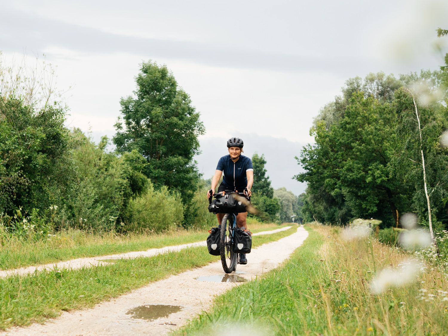
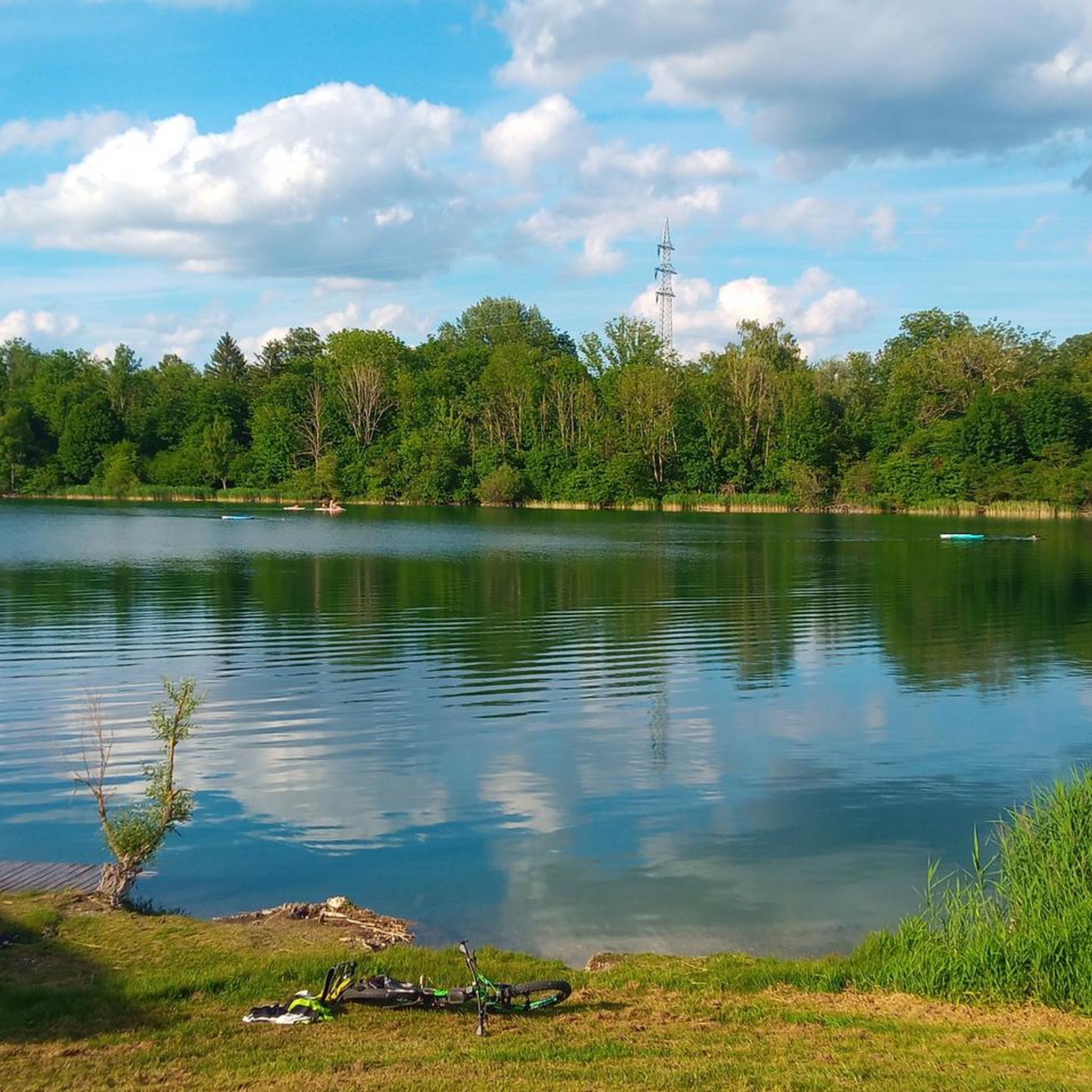
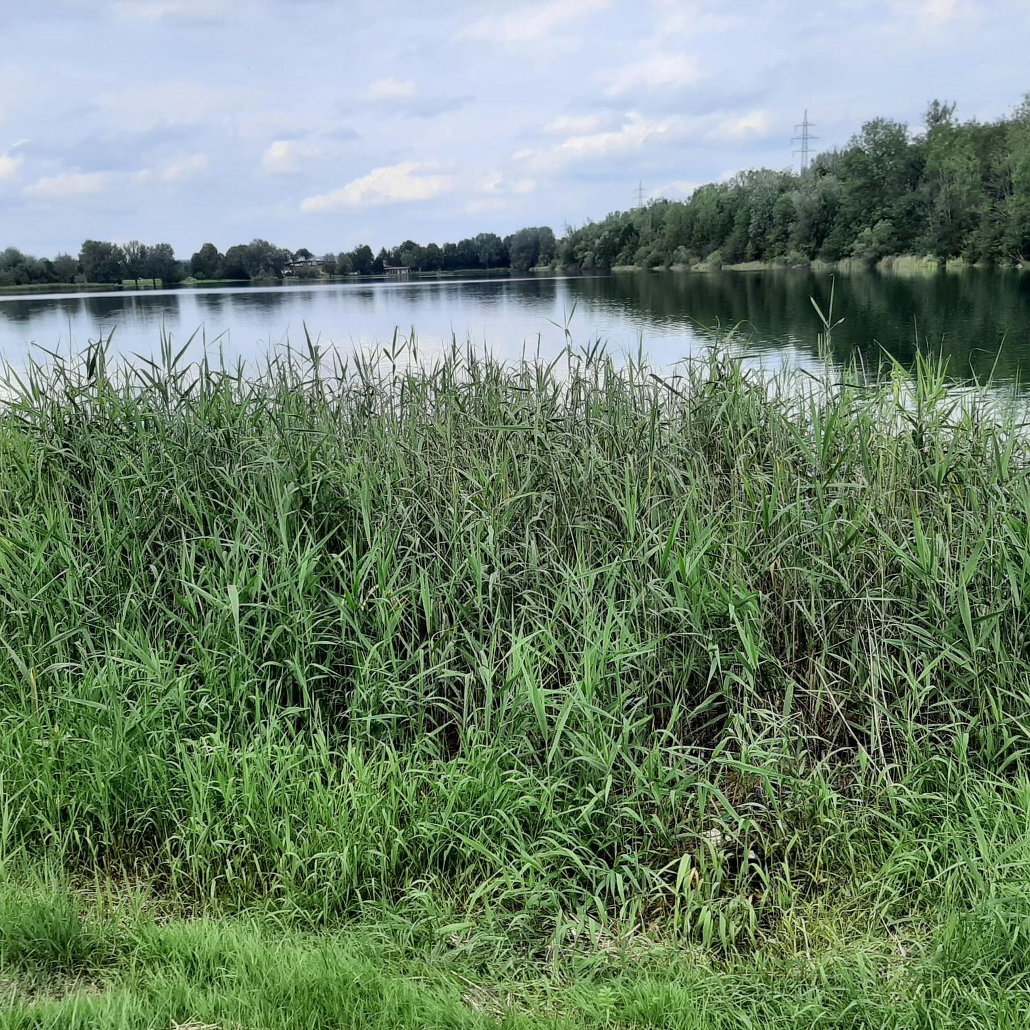
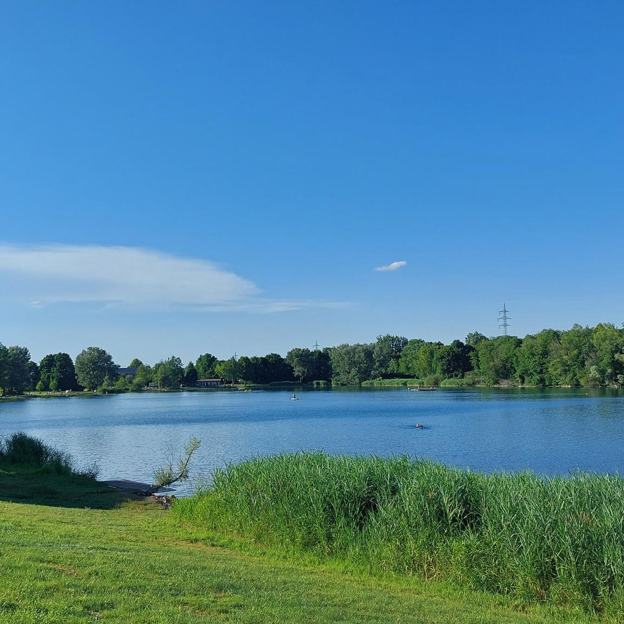
Other adventures around Kirchberg an der Iller

Tips from the Community

Here you can cycle nicely without any elevation gain.
0
0


Well-maintained, safe crossing over the canal.
1
0

Unfortunately a boring section
0
0

Easily rideable without any special equipment. A wonderful bike path to enjoy.
1
0

Ulm Old Town who has never seen it I would do it again👍🏽
0
0

At Kirchdorf the Iller Canal is also connected to the Iller.
1
0

Excursion to Illertissen to the Vöhlin Castle for the bee exhibition
1
0
Frequently Asked Questions
Are there easy gravel bike trails suitable for beginners around Kirchberg an der Iller?
Yes, the region is well-suited for beginners. Many routes feature generally flat terrain along the Iller River and its floodplains, with minimal elevation changes. For a moderate yet accessible ride, consider the Iller River Restoration Area – Iller Bridge near Oberopfingen loop from Illertissen, which is 32.3 miles (52.0 km) long and leads through interesting river restoration areas.
What are the typical distances and elevation gains for gravel bike routes in this area?
The gravel bike routes around Kirchberg an der Iller typically range from 25 to 35 miles (40 to 56 km) in distance. Elevation gains are generally low, often under 150 meters, making them suitable for longer, less strenuous rides. For example, the Iller Bridge – Iller Cycle Path loop from Illertissen covers 56.2 km with only about 110 meters of elevation gain.
Where can I find parking for gravel biking near Kirchberg an der Iller?
Many routes start from towns like Illertissen or Kellmünz, where public parking is generally available. It's advisable to check local parking options in these starting communities before your ride. The Weir on the Iller – Bridge Over the Illerkanal loop from Kellmünz is a great option starting from Kellmünz.
Are there family-friendly gravel bike routes around Kirchberg an der Iller?
Absolutely. The predominantly flat terrain and well-maintained paths along the Iller River make many routes ideal for families. These trails offer a safe and enjoyable environment for riders of all ages. Look for routes with shorter distances if riding with younger children.
What is the best time of year for gravel biking in Kirchberg an der Iller?
The best time for gravel biking in Kirchberg an der Iller is typically from spring through early autumn (April to October). During these months, you can expect pleasant temperatures and drier conditions, making the riverside paths and agricultural fields more enjoyable to ride. The vibrant greenery in spring and the autumn colors add to the scenic beauty.
What are the conditions like for gravel biking in winter around Kirchberg an der Iller?
Winter conditions can vary. While some paths may remain rideable, expect colder temperatures, and potentially muddy or icy sections, especially along the riverbanks and in shaded areas. It's recommended to check local weather forecasts and trail conditions before heading out during winter months.
Are there opportunities for cafe stops or refreshments along the gravel bike trails?
While specific cafe stops aren't always directly on the trails, many routes start or pass through towns and villages like Illertissen or Kellmünz, where you can find bakeries, cafes, and restaurants for refreshments before or after your ride. Planning your route to include these stops is recommended.
Can I expect scenic viewpoints on the gravel bike routes around Kirchberg an der Iller?
Yes, the routes offer consistent scenic views, primarily along the Iller River and its floodplains. You'll experience open agricultural fields, small forested sections, and picturesque riverine landscapes. The The Iller River near Illertissen – Rushing Iller River loop from Illertissen provides excellent views of the river.
Are there any challenging gravel bike routes for experienced riders?
While the region is generally known for its flatter terrain, there are still options for more experienced riders seeking a challenge. The area features 7 routes classified as 'difficult' by the komoot community. These might involve longer distances or slightly more varied terrain, though significant elevation is rare. You can filter for these routes on komoot to find suitable options.
What do other gravel bikers enjoy the most about gravel biking in Kirchberg an der Iller?
The area is highly rated by the komoot community, with an average score of 4.3 stars from over 40 reviews. Reviewers often praise the tranquil riverside paths, the accessibility for all skill levels, and the beautiful natural scenery of the Iller floodplains. The consistent surfaces along the Iller Cycle Path, as found on the Rushing Iller River – Iller Cycle Path loop from Illertissen, are frequently highlighted.
Are there any interesting landmarks or natural attractions to see along the gravel bike routes?
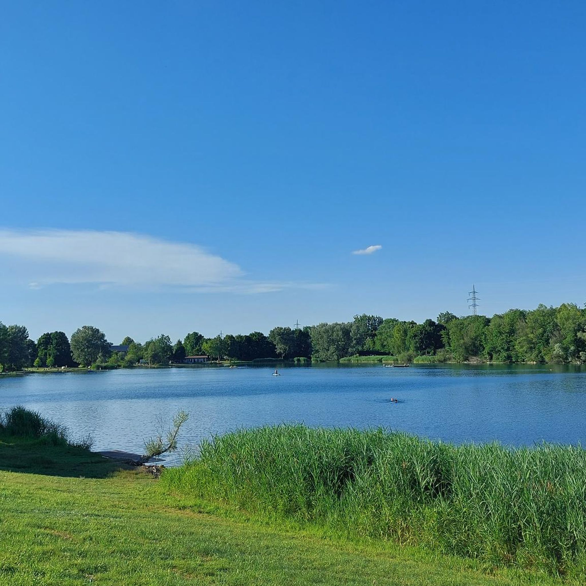
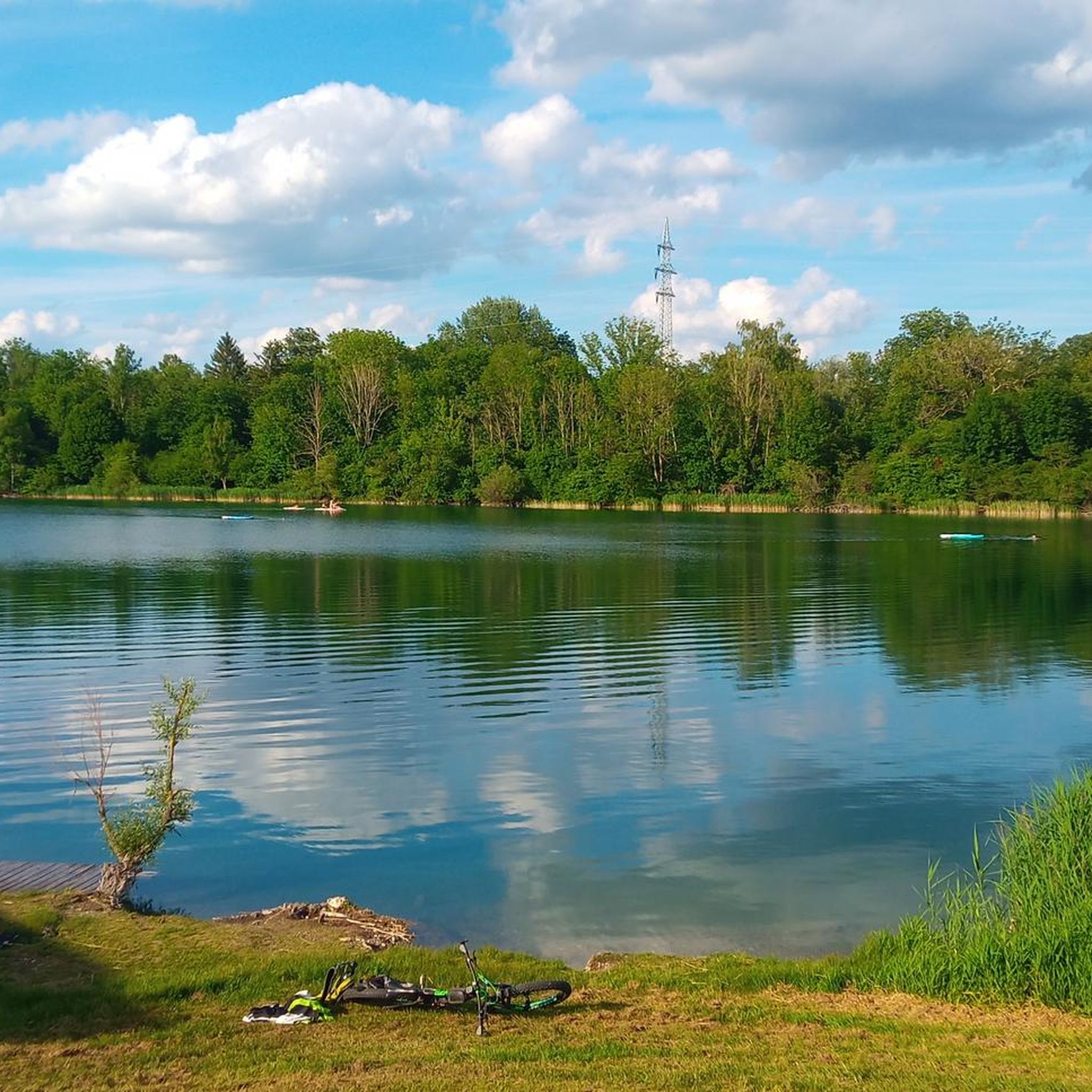
Yes, the region offers several points of interest. You might encounter the The Iller River near Illertissen itself, which is a prominent natural feature. For a refreshing stop, the Ziegelweiher Natural Bathing Lake is a popular spot. Other nearby attractions include historical sites like the Öchsle Narrow-Gauge Railway Station Ochsenhausen.
Are the gravel bike routes around Kirchberg an der Iller typically loop trails?
Many of the popular gravel bike routes in the area are designed as loop trails, offering convenient starting and ending points without the need for shuttle services. This allows you to explore the diverse landscapes and return to your original starting location. All the top recommended routes, such as the Rushing Iller River – Iller Cycle Path loop from Illertissen, are loops.
Most popular routes around Kirchberg an der Iller
Most popular attractions around Kirchberg an der Iller

Get inspired with the komoot mobile app


Explore more
Browse the best Gravel rides in other regions.
