The best gravel rides around Ühlingen-Birkendorf
4.6
(204)
1,041
riders
82
rides
Gravel biking around Ühlingen-Birkendorf offers diverse terrain within the Southern Black Forest. The region features romantic valleys carved by rivers like the Schwarza, Mettma, Schlücht, and Steina, alongside sunny plateaus and dense forests. Elevations range from 450 to 1100 meters, providing varied landscapes and significant elevation changes suitable for gravel biking. This area is characterized by its blend of paved and unpaved segments, connecting natural attractions such as reservoirs and scenic viewpoints.
Best gravel bike trails around Ühlingen-Birkendorf
- The most…
Last updated: October 6, 2026
4.6
(15)
73
riders
33.6km
02:04
440m
440m
Moderate gravel ride. Good fitness required. Mostly paved surfaces. Suitable for all skill levels.
4.2
(5)
50
riders
51.2km
03:10
760m
760m
Hard gravel ride. Very good fitness required. Mostly paved surfaces. Suitable for all skill levels.

4.0
(1)
15
riders
62.4km
04:05
970m
970m
Hard gravel ride. Very good fitness required. Mostly paved surfaces. Suitable for all skill levels.
4.6
(8)
17
riders
36.5km
02:33
600m
600m
Hard gravel ride. Very good fitness required. Mostly paved surfaces. Suitable for all skill levels.
5.0
(1)
4
riders
33.8km
02:37
800m
800m
Hard gravel ride. Very good fitness required. You may need to push your bike for some segments of this route.
Get access to more routes and recommendations from other explorers.
Already have an account?
Our route recommendations are based on thousands of hikes, rides, and runs completed by other people on komoot.
Start today with a free account
Your next adventure awaits.
Popular around Ühlingen-Birkendorf
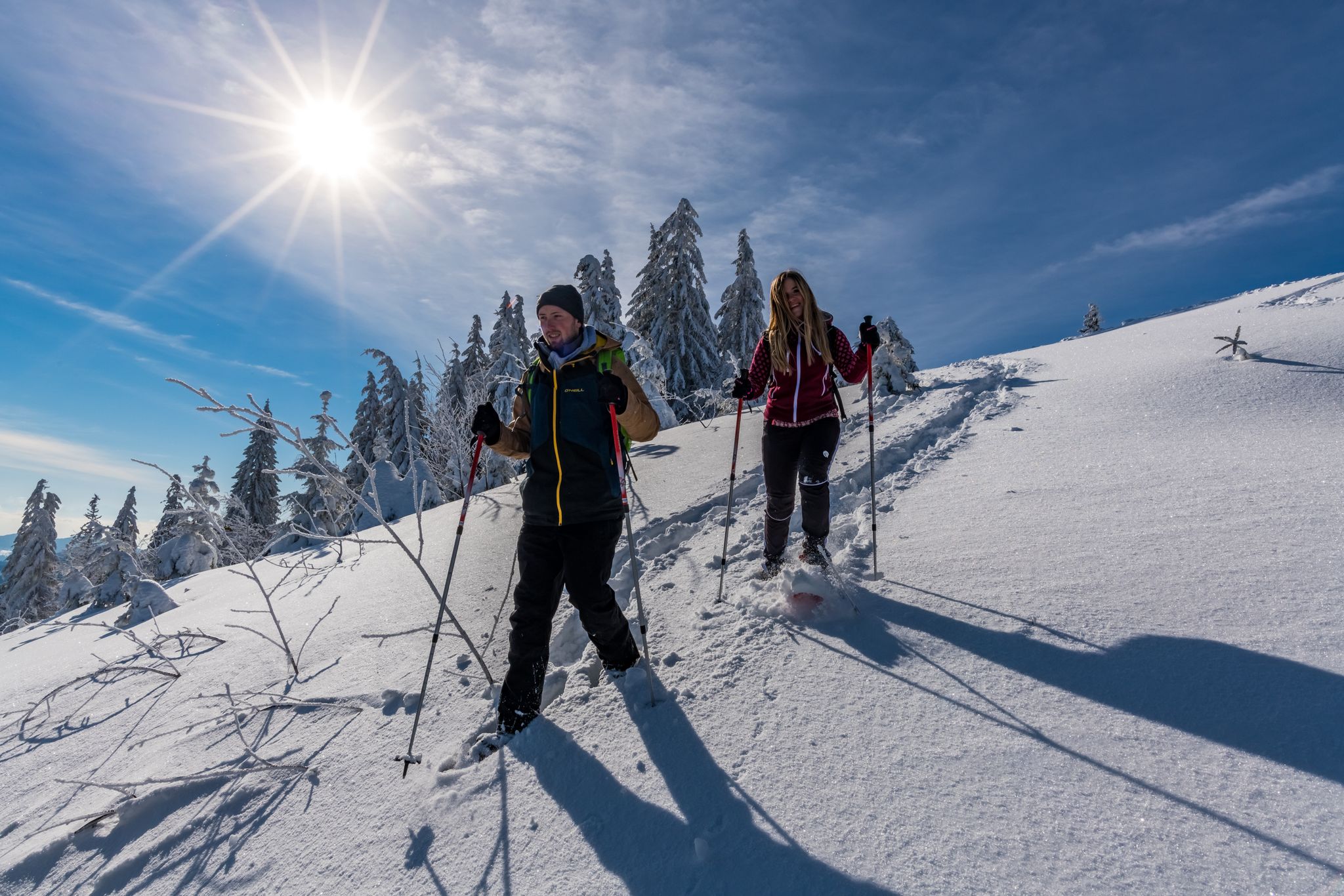
The Forest in its white dress – snowshoe Tours in the Black Forest
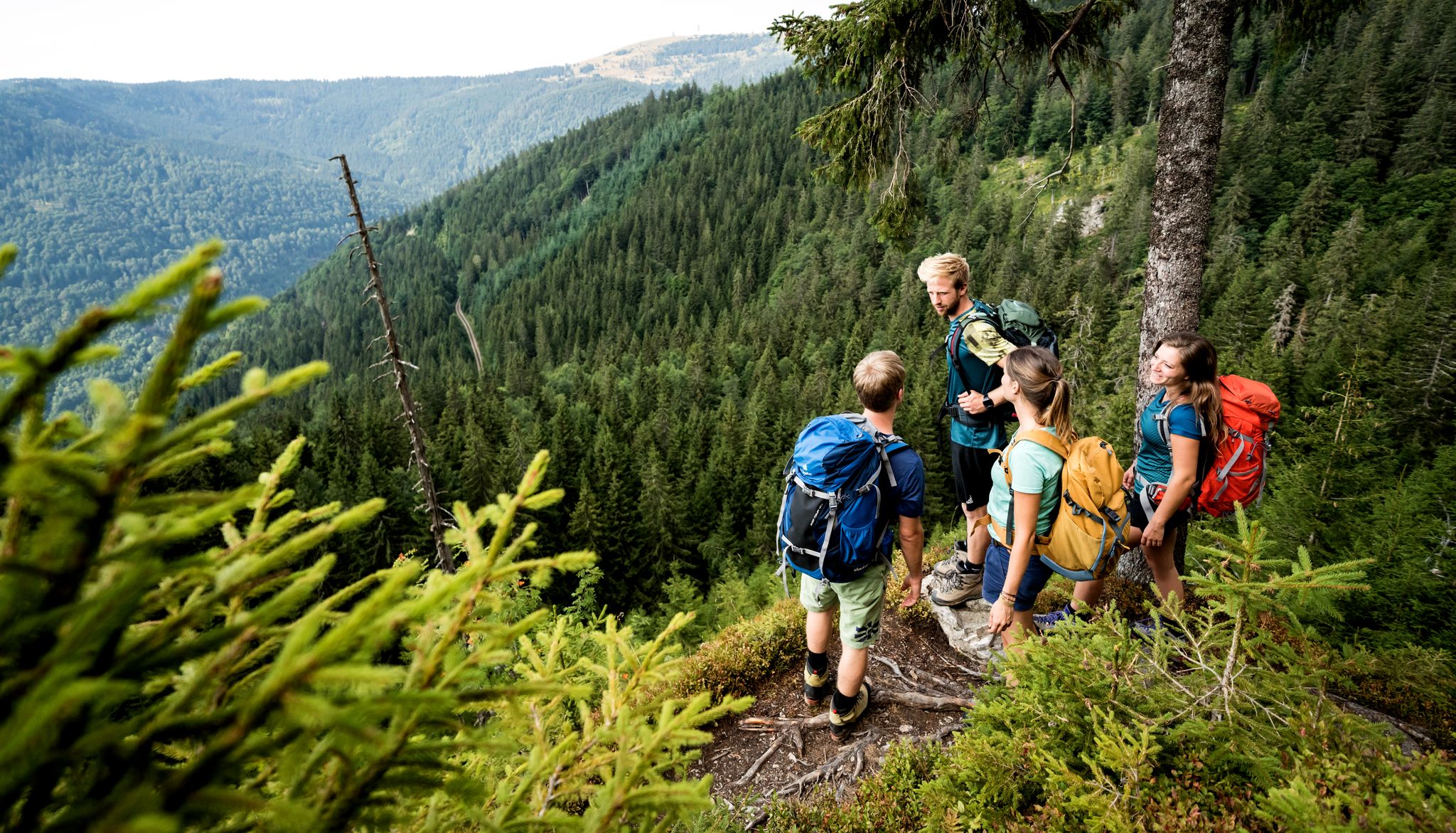
Hiking adventures in the Black Forest
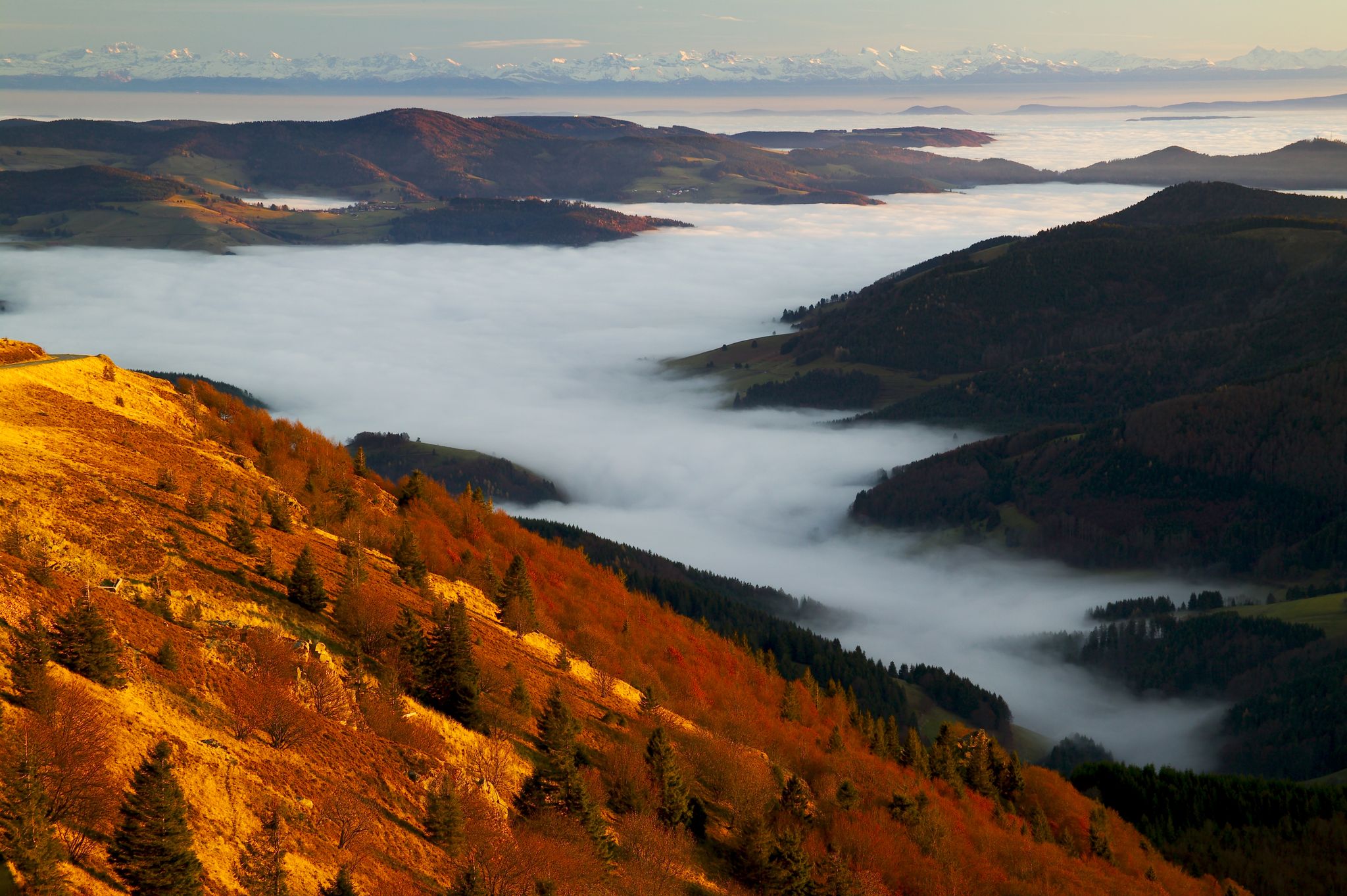
Herbst. Wandern. Farbenspiel.
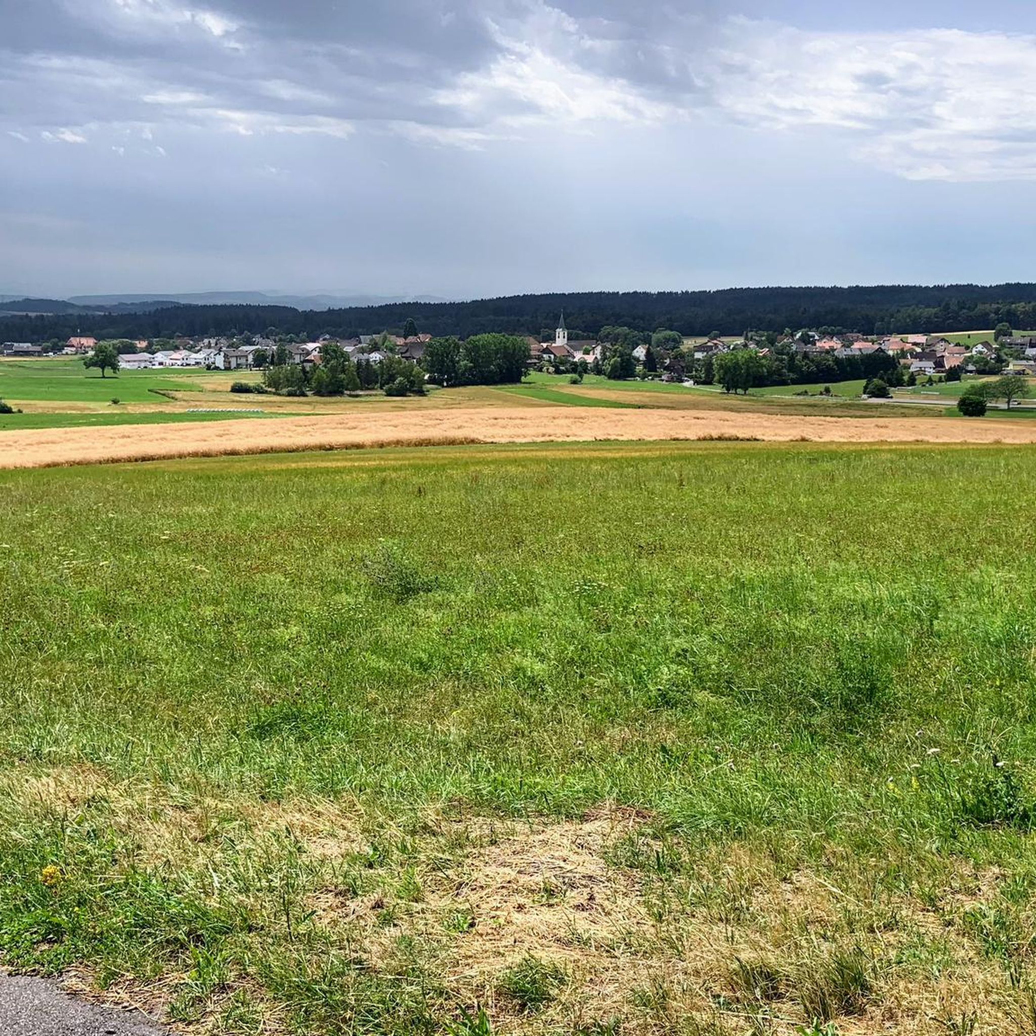
Hiking around Ühlingen-Birkendorf
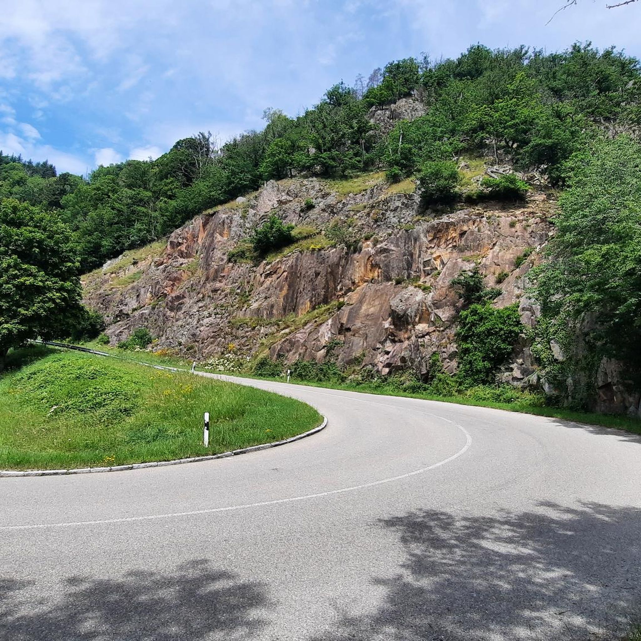
Cycling around Ühlingen-Birkendorf
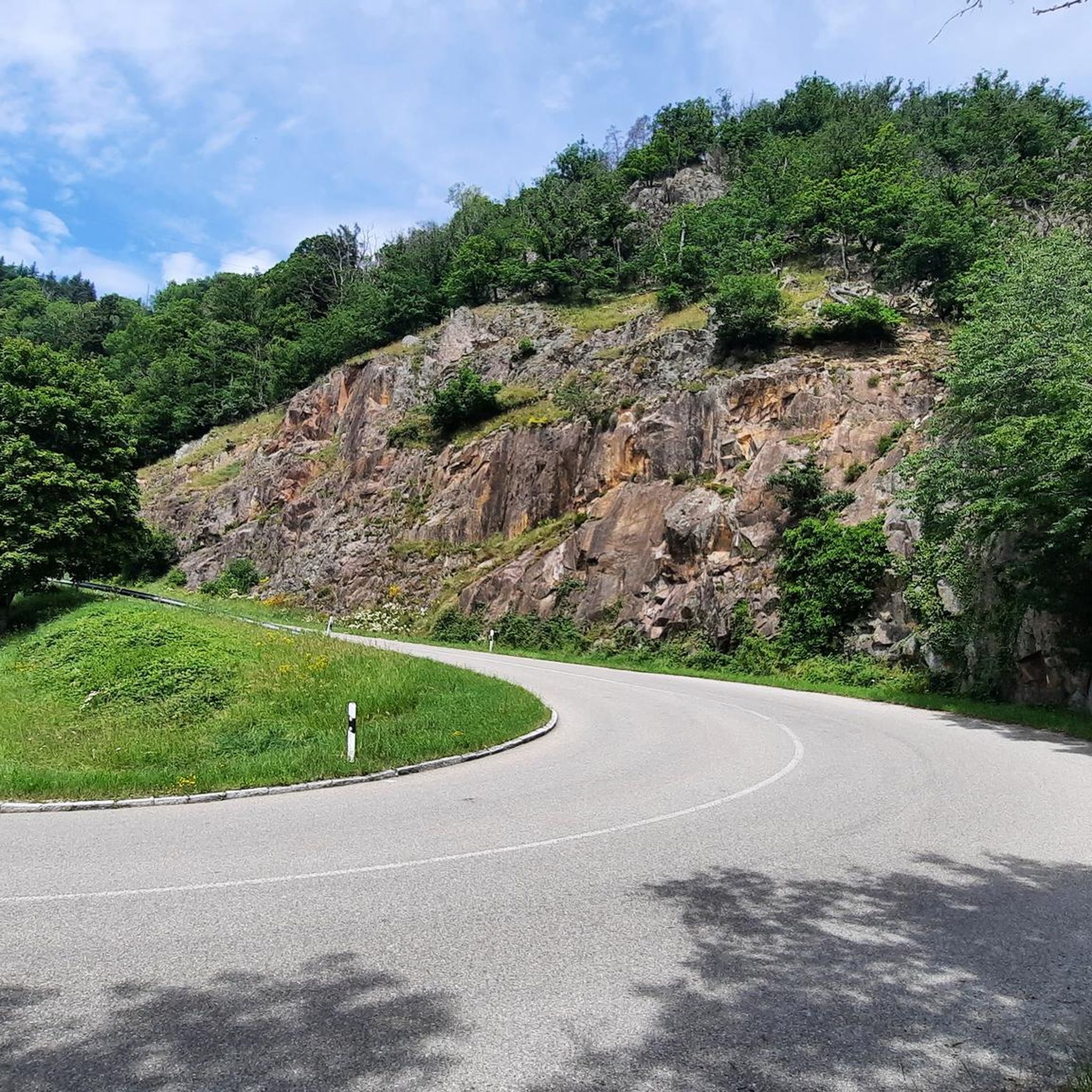
MTB Trails around Ühlingen-Birkendorf
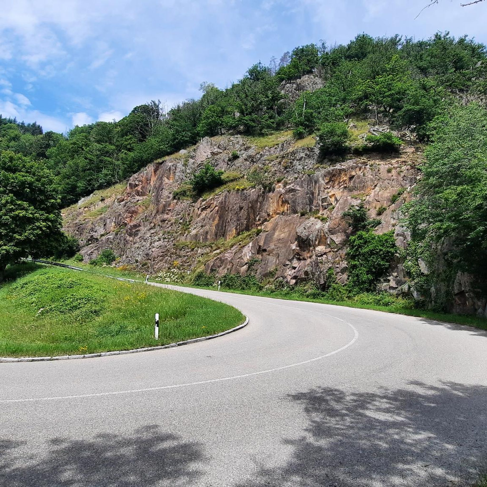
Road Cycling Routes around Ühlingen-Birkendorf
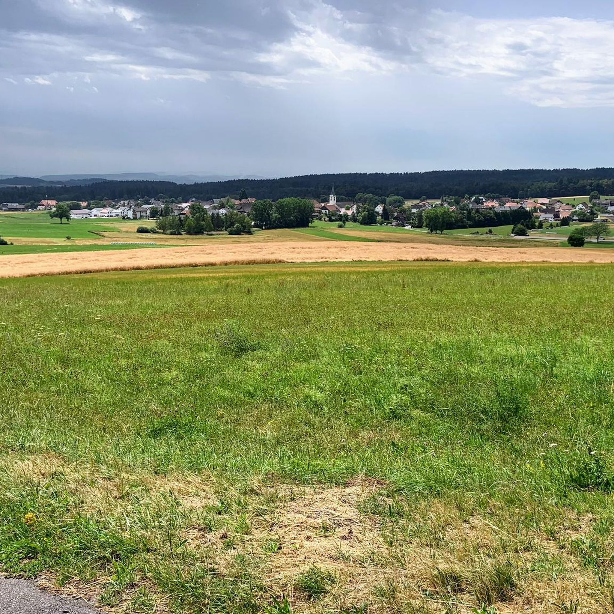
Running Trails around Ühlingen-Birkendorf
Mountain Hikes around Ühlingen-Birkendorf


Tips from the Community

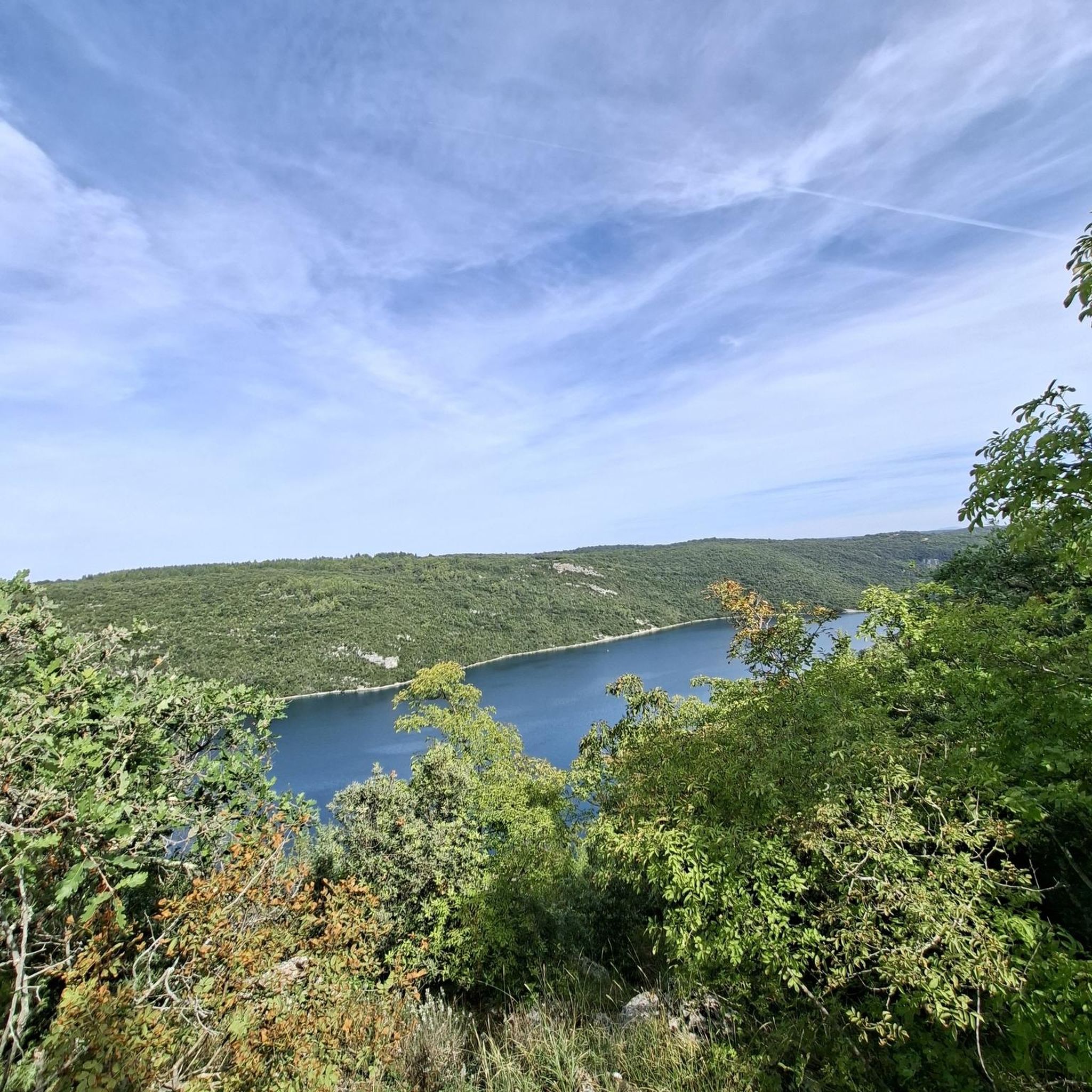
A magnificent viewpoint over the Schluchsee with the wooded Black Forest heights in the background. Perfect for a short break on the MTB tour – especially in clear weather, the lake shows its most beautiful side here.
0
0
A beautiful view over the Schluchsee, framed by the wooded heights of the Black Forest. A perfect spot for a short break on the MTB tour – the lake looks particularly impressive in clear weather.
0
0

Small shelter located at the edge of the forest and the road for travelers. In front of the hut there is a large parking lot that can be used to start the tour. A resting place with a table, bench, and grill.
0
0

Very green, very lonely, very rideable, a gravel dream!
0
0
The dam is not pretty and looks a bit morbid, but the lake is really beautifully situated.
0
0
Not pretty, but impressive. The shady end is well suited for a rest.
0
0
Not spectacular and looking a bit morbid, but nicely situated and above all lonely.
0
0
From the dam, an impressive view opens up over the Schluchsee and the surrounding Black Forest landscape. The combination of the vast expanse of water, wooded slopes, and engineering prowess makes this spot a worthwhile stop on the tour.
0
0
Frequently Asked Questions
How many gravel bike trails are available in Ühlingen-Birkendorf?
Ühlingen-Birkendorf offers a comprehensive network of over 120 gravel bike trails. These routes cater to various fitness levels, ranging from moderate to challenging, and feature a mix of paved and unpaved segments across diverse landscapes.
What kind of terrain can I expect on gravel bike trails around Ühlingen-Birkendorf?
The terrain around Ühlingen-Birkendorf is highly varied, offering everything from romantic river valleys carved by the Schwarza, Mettma, Schlücht, and Steina rivers, to sunny plateaus and dense, shady forests. You'll encounter significant elevation changes, with altitudes ranging from 450 to 1100 meters above sea level, providing a dynamic gravel biking experience.
Are there any family-friendly gravel bike routes in the area?
While many routes involve significant elevation, some sections and flatter paths around reservoirs can be suitable for families. For a more relaxed experience, consider exploring the areas near the Monastery Pond or the Unterkrummenhof, which offer gentler terrain. The Rhine Cycle Path in Waldshut – Wutach River Nature Views loop from Wutöschingen is a moderate option with less elevation gain.
What natural features or landmarks can I see along the gravel bike trails?
Many trails pass by stunning natural attractions. You can explore the dramatic Wutach Gorge with its waterfalls like the Tannegger Waterfall, or cycle along the shores of Schluchsee, the largest lake in the Black Forest. Other notable features include the Mettma Reservoir and Schwarzastausee Dam. On clear days, you might even catch picturesque Alpine panoramas from the higher plateaus.
What do other gravel bikers enjoy most about Ühlingen-Birkendorf?
The komoot community highly rates the gravel biking experience in Ühlingen-Birkendorf, with an average score of 4.6 stars from over 150 reviews. Riders frequently praise the diverse terrain, the blend of challenging climbs and scenic descents, and the beautiful natural landscapes, including the river valleys and expansive views.
Are there any circular gravel bike routes available?
Yes, Ühlingen-Birkendorf offers several excellent circular gravel bike routes. A popular option is the Mettma Reservoir – Lake Schlücht loop from Riedern am Wald, which takes you through river valleys and past reservoirs. Another challenging loop is the Albtal Dam – Albstausee (Alb Reservoir) loop from Häusern, offering significant elevation changes.
What is the best season for gravel biking in Ühlingen-Birkendorf?
The region is generally sunny and often fog-free, making it enjoyable for gravel biking across multiple seasons. Spring and autumn offer pleasant temperatures and vibrant scenery. While winter transforms the area into a wonderland for cross-country skiing, some gravel routes may be affected by snow or ice, so checking local conditions is advisable.
Where can I find parking for gravel bike trails in Ühlingen-Birkendorf?
Parking is typically available at the starting points of many popular routes or in the villages within Ühlingen-Birkendorf. For routes around Schluchsee, designated parking areas are usually found near the lake. When planning your ride, check the specific tour details on komoot for recommended parking locations near the trailhead.
Can I access gravel bike routes using public transport?
The Southern Black Forest region has public transport options that can help you reach various starting points. While direct access to every trailhead might vary, larger towns and villages often have bus connections. It's recommended to check local bus schedules and policies regarding bike transport in advance, especially for longer journeys.
Are there cafes or pubs near the gravel bike trails for a break?
Yes, you'll find opportunities for refreshments along or near many routes. Villages like Grafenhausen, Riedern am Wald, and others in the municipality often have cafes, restaurants, or pubs. For example, the Unterkrummenhof — Restaurant with a view of Schluchsee is a popular spot, and the nearby Rothaus Brewery offers insights into local brewing.
Are there any particularly challenging gravel routes for experienced riders?
Absolutely. For experienced riders seeking a challenge, routes with significant elevation gain and longer distances are plentiful. The Schluchsee Pond – Schluchsee Lakeside Trail loop from Landkreis Waldshut is a difficult 51.1 km path with substantial climbing, offering expansive views and varied terrain. The region's diverse topography, including the
What are some unique natural attractions to look out for?
Beyond the well-known Wutach Gorge, keep an eye out for the picturesque Moos Waterfall (Dietfurt Waterfall) and the tranquil Windberg Waterfall. The region's river valleys and steep rocky slopes are also home to rare wildlife, including the asp viper and chamois, adding to the unique natural experience.
Most popular routes around Ühlingen-Birkendorf
Most popular attractions around Ühlingen-Birkendorf

Get inspired with the komoot mobile app


Explore more
Browse the best Gravel rides in other regions.
