The best gravel rides around Dautmergen
4.2
(14)
80
riders
15
rides
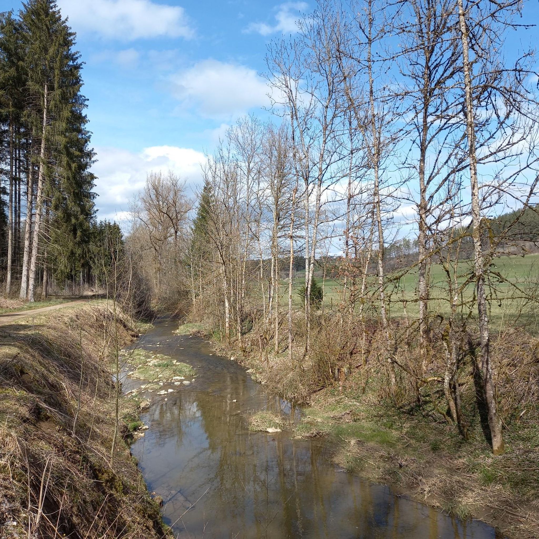
Gravel biking around Dautmergen offers diverse landscapes within Germany's Swabian Alb region. The terrain is characterized by rolling hills, dense forests, and serene valleys, providing varied surfaces for gravel cyclists. This area features a network of trails suitable for exploring the natural beauty of the Swabian Jura, including forest paths, country roads, and gravel tracks. The region's geographical location ensures a mix of ascents, descents, and flatter sections on unpaved roads and forest paths.
Best gravel bike trails around Dautmergen
…Last updated: October 6, 2026
5
riders
25.9km
01:52
500m
510m
Hard gravel ride. Very good fitness required. Mostly paved surfaces. Suitable for all skill levels.
4.0
(2)
7
riders
31.9km
02:07
580m
580m
Hard gravel ride. Very good fitness required. Mostly paved surfaces. Suitable for all skill levels.

5.0
(1)
8
riders
48.1km
03:04
790m
790m
Hard gravel ride. Very good fitness required. Mostly paved surfaces. Suitable for all skill levels.
4.3
(3)
8
riders
21.1km
01:17
230m
230m
Moderate gravel ride. Good fitness required. Mostly paved surfaces. Suitable for all skill levels.
7
riders
52.9km
03:31
880m
880m
Hard gravel ride. Very good fitness required. Mostly paved surfaces. Suitable for all skill levels.
Get access to more routes and recommendations from other explorers.
Already have an account?
Our route recommendations are based on thousands of hikes, rides, and runs completed by other people on komoot.
Start today with a free account
Your next adventure awaits.
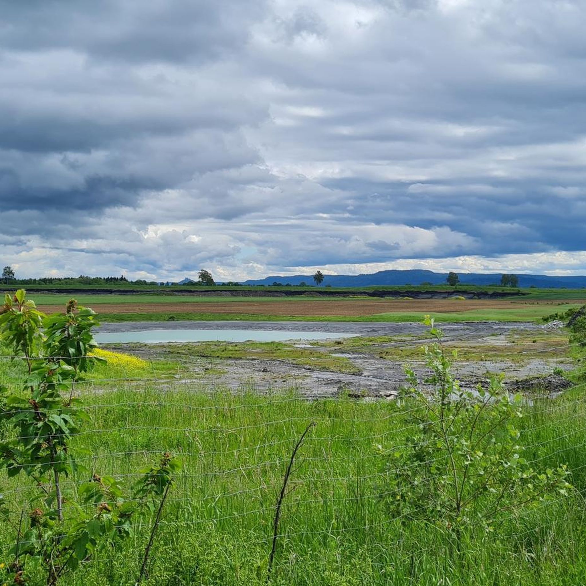
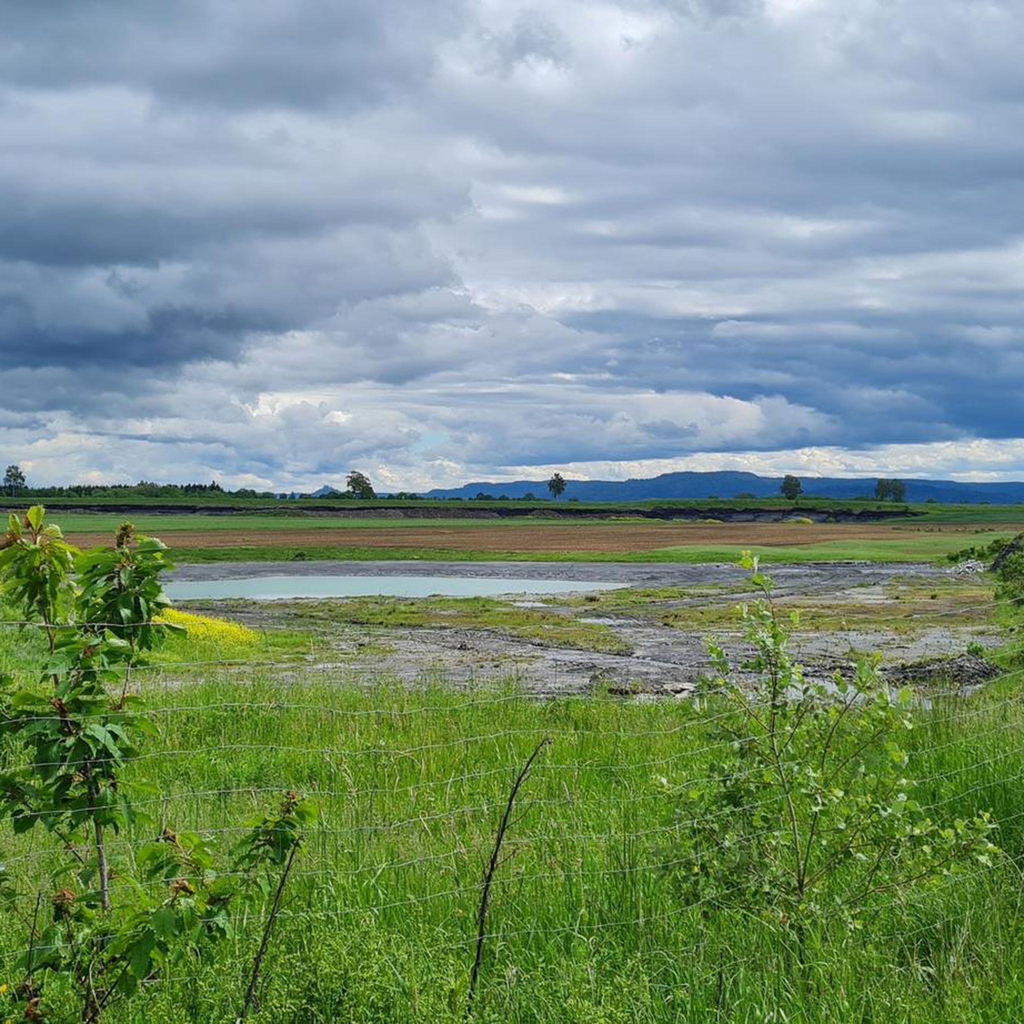
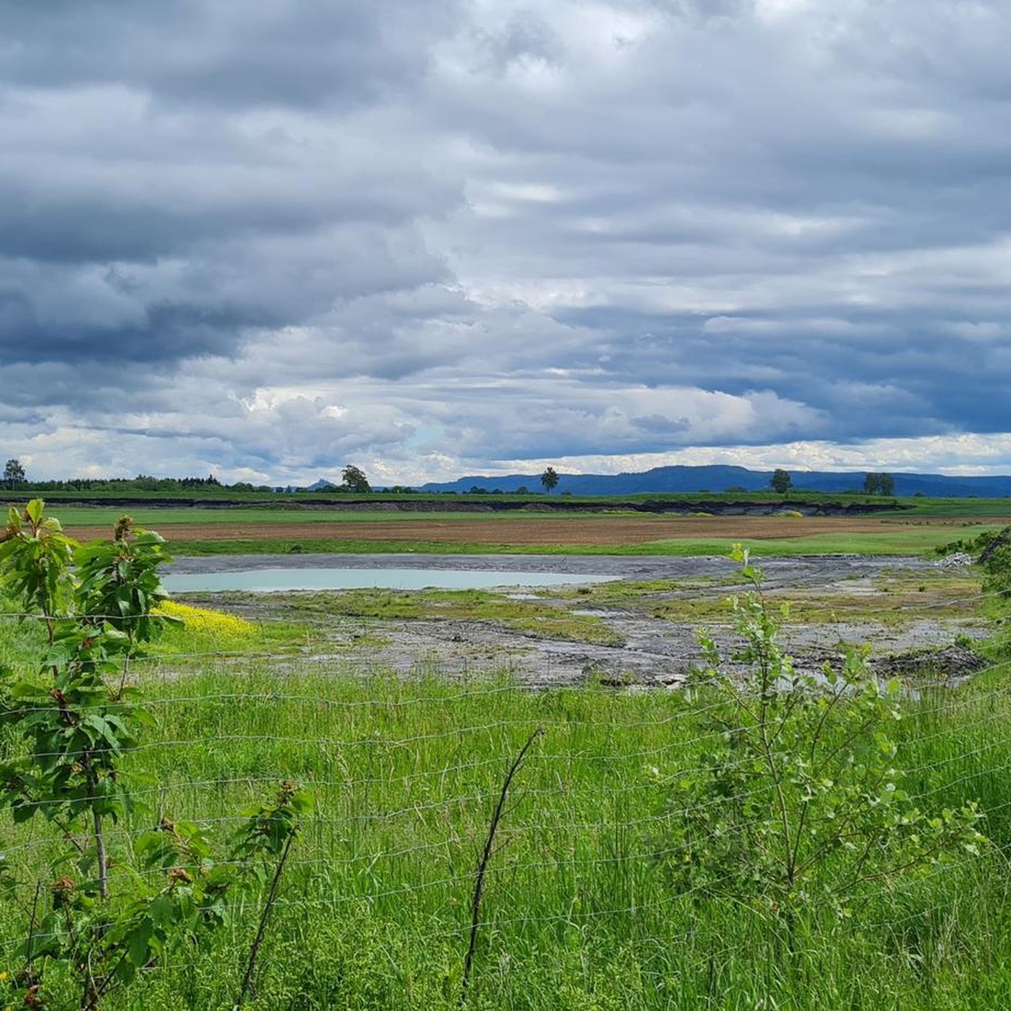
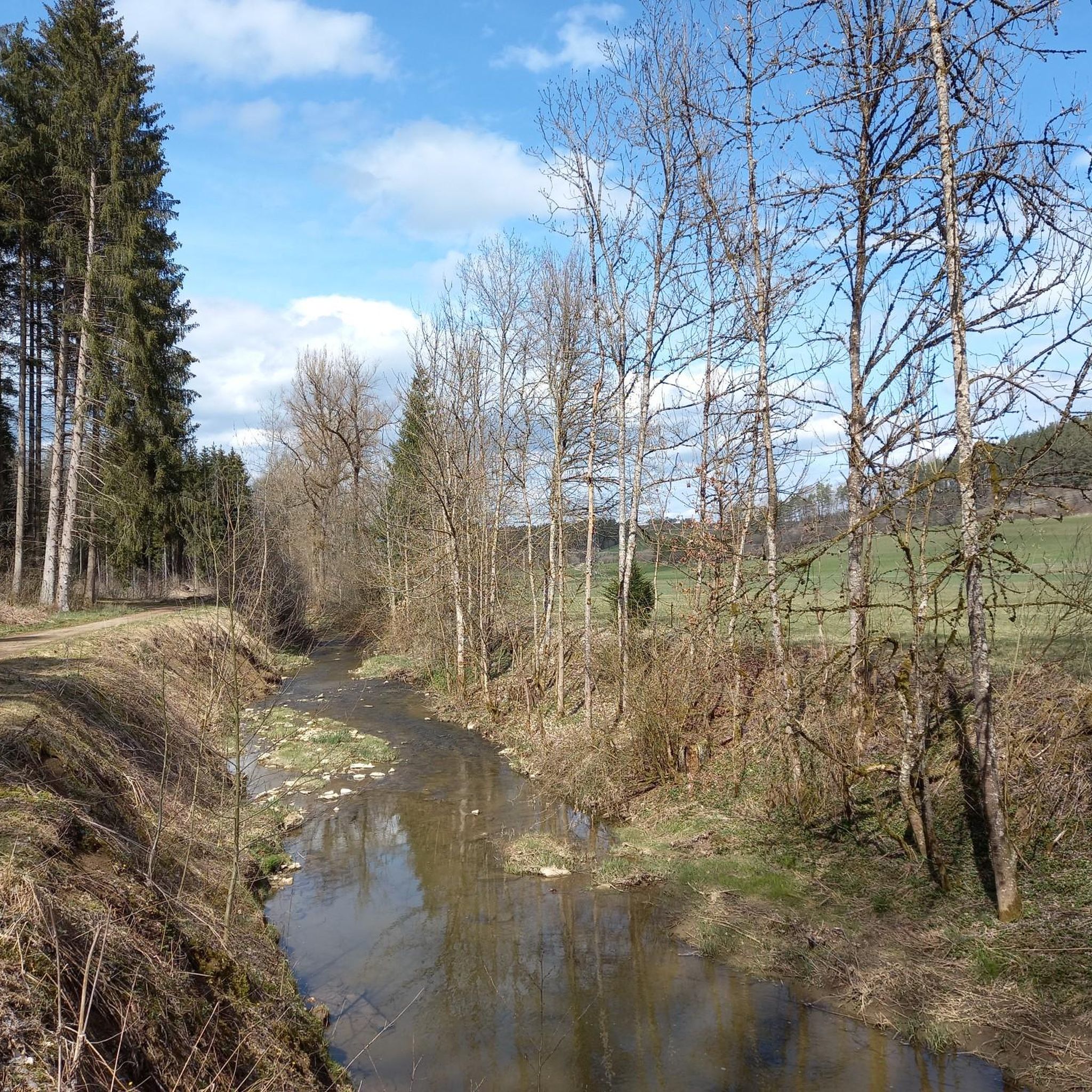
Tips from the Community

Great view, followed by an exciting descent to Denkingen.
0
0

Mega view from 1,000 meters altitude over Baar and the Black Forest.
3
0
The Plettenberg from the other side after passing the cement factory's cable car.
3
0

From the Hummelberg, the actual Bäratal is not visible (Reichenbach, Nusplingen etc.). I know the spot very well. But you have a nice view of Gosheim and the Lemberg with its companions and in the direction of Rottweil. It is definitely worth it.
0
0


History of the Parish Church of St. Martin The church, built in the early Gothic style, was constructed in 1885/86 according to the plans of architect Joseph Cades. After completing his training, Cades joined the construction workshop of Ulm Minster, where he was primarily entrusted with the design of the two choir towers. His first church building as an independent architect was the Catholic Parish Church of St. Martin in Dotternhausen. The Dotternhausen St. Martinus Church is an early Gothic pillar basilica, meaning a three-nave, longitudinally oriented church. Its elevated central nave is illuminated by a window zone in the upper part (a so-called clerestory). A triumphal arch separates the slightly elevated choir area. The central nave is separated from the side naves by arcades on pillars. The ratio of the width of the central nave to the width of the side naves is 2:1, which is typical for the construction methods of that time. In 1986, the St. Martinus parish community in Dotternhausen celebrated the 100th anniversary of the consecration of their parish church. The entire population was invited to the festive service and the subsequent community celebration. Considerations for the interior renovation became concrete after the 100-year celebration. After a year of interior renovation, the reopening of our parish church St. Martinus could be celebrated on Sunday, April 10, 1994. The innovations: In the choir, the altar, ambo, baptismal font, stele, sedilia, and the color-coordinated windows. The two side altars, in the right side aisle the crucifixion group with tabernacle, in the left the veneration of the Mother of God. In the front choir area hangs the restored painting of St. Martin of Tours, which still dates from the old baroque church, i.e., from before 1885. It also shows the Resurrection of Christ and should have an effect on the entire church from its place. The modern art on the walls in a church built in the neo-Gothic style is an example of temporal change and development in our church, which constantly needs change and renewal. This gem should be preserved. Source: http://kirche-dotternhausen.de/foerderverein/pfarrkirche.html
1
0
Beautiful view of the Plettenberg with its tower
0
0
The Schlichemtalsperre (also known as Schömberger Stausee, mostly just called Stausee locally) east of Schömberg in Baden-Württemberg dams the Schlichem, a tributary of the Neckar coming from the Swabian Jura. The 90.6 ha Schömberger Stausee mit Palmbühl landscape protection area surrounds the Schlichemtalsperre. The approximately 1.35 km long and initially narrow reservoir, widening to about 175 m towards the end, with an area of 10.4 ha at 643.8 m above sea level (NHN), begins at the hamlet of Untere Säge and extends to the old town center of Schömberg. It has a catchment area of about 33.5 km², to which the Schlichem, over 11 km long at its inflow, contributes almost 90%. The watercourses Hölzlegraben from the forest to the right of the lake and Scheubühlgraben and Räßentälebach from the left, up to 1.2 km long, flow into it from the sides. A fish ladder leads from the Vorsee pre-reservoir near Untere Säge to the reservoir. There is also the only bridge over the lake that can be walked and driven on. The Schlichem Viaduct can only be used by the railway. The Schlichemtalsperre was built between 1940 and 1944. The Portlandzementwerk Rudolf Rohrbach KG (today Holcim (Süddeutschland) GmbH), based in neighboring Dotternhausen, which was the client for the dam, initially used it for cooling water supply and power generation. An outdoor swimming pool built in 1935 was flooded. After World War II, the facility was taken over by the state of Württemberg-Hohenzollern in 1948. The reservoir was renovated from 1975 to 1983. The barrier structure is an earth dam, and the hydropower plant within it has an output of 60 kW. There is a pre-reservoir, the Vorsee, which was built from 1975 to 1977. Source: https://de.wikipedia.org/wiki/Schlichemtalsperre
2
0
Frequently Asked Questions
What kind of terrain can I expect on gravel bike trails around Dautmergen?
The Dautmergen area, nestled in Germany's Swabian Alb region, offers a diverse landscape ideal for gravel biking. You'll encounter rolling hills, dense forests, and serene valleys, providing a mix of ascents, descents, and flatter sections on unpaved roads and forest paths. The region is known for its impressive vistas and varied natural beauty.
Are there gravel bike routes suitable for beginners in Dautmergen?
Yes, Dautmergen offers options for various skill levels. While many routes are moderate to difficult, there are at least 2 easy gravel bike routes available. These typically feature slight elevation changes and are a great way to explore the scenic surroundings.
What are some notable natural features or viewpoints I can discover on a gravel bike ride?
The Swabian Alb region boasts several impressive natural features and viewpoints. You could ride towards the Lochen Pass, or explore routes that offer expansive views of the Swabian Jura. The Lemberg – Highest Peak of the Swabian Jura is another prominent landmark, offering rewarding views on clear days.
Are there any circular gravel bike routes around Dautmergen?
Yes, many of the gravel bike routes in the Dautmergen area are designed as loops, allowing you to start and finish at the same point. For example, the View of the Swabian Jura – View of the Swabian Jura loop from Balingen is a popular moderate circular path, and the View of the Swabian Jura – View of the Swabian Jura loop from Gnagen also offers a scenic circular experience through rolling hills.
Can I find routes that pass by waterfalls or unique natural formations?
Absolutely. The region features the impressive Schlichemklamm (Schlichem Gorge), which is particularly striking during high water. You can also find routes like the Waterfall – Wooden Bridge Over the Neckar loop from Schlichemtal, which takes you past a waterfall and through the idyllic Schlichem Valley.
What is the best time of year for gravel biking in Dautmergen?
The Dautmergen area is particularly enjoyable for gravel biking in spring, summer, and autumn. These seasons offer pleasant weather conditions to experience the diverse flora and fauna, and the autumn colors can be especially vibrant along trails like the 'Panoramaweg'.
Are there any family-friendly gravel biking options in the area?
The region around the Schlichem Valley is known for its varied family bike routes, highlighting the Swabian Alb Geopark. While specific family-friendly gravel routes are not detailed, the presence of easy trails and the general nature of the Schlichem Valley suggest suitable options for families looking for less strenuous rides.
Where can I find places to stop for a break or a meal along the trails?
You'll find several huts and shelters in the vicinity that can serve as convenient rest stops. Options include the Plettenberg Hut and Playground, the Schörzinger Hut, and the Lochenhütte Shelter. Some of these also offer playgrounds, making them ideal for family outings.
What do other gravel bikers say about the trails in Dautmergen?
The gravel biking routes in Dautmergen are highly rated by the komoot community, with an average score of 4.5 stars. Riders often praise the varied terrain, the expansive views of the Swabian Jura, and the well-maintained forest paths that make for an engaging cycling experience.
Are there any challenging routes for experienced gravel bikers?
Yes, Dautmergen offers plenty of challenges for advanced riders. Out of 46 available routes, 21 are classified as difficult. An example is the Lochen Pass – Schlichem Dam loop from Geislingen, a 42.4 km trail with significant elevation changes that takes over 3 hours to complete.
Is it possible to access the gravel bike trails using public transport?
While Dautmergen is well-connected by roads, specific information on public transport access directly to trailheads for gravel biking is limited. It's advisable to check local bus or train schedules for nearby towns like Balingen or Geislingen, and plan your route accordingly, as some tours start from these locations.
Can I bring my dog on the gravel bike trails?
Generally, dogs are welcome on public trails in the Swabian Alb region, provided they are kept on a leash and you clean up after them. However, it's always recommended to check specific trail regulations or local signage, especially in nature reserves, to ensure a pleasant experience for everyone.
Most popular attractions around Dautmergen

Get inspired with the komoot mobile app


Explore more
Browse the best Gravel rides in other regions.
