The best gravel rides around Langenwolschendorf
3.7
(8)
47
riders
16
rides
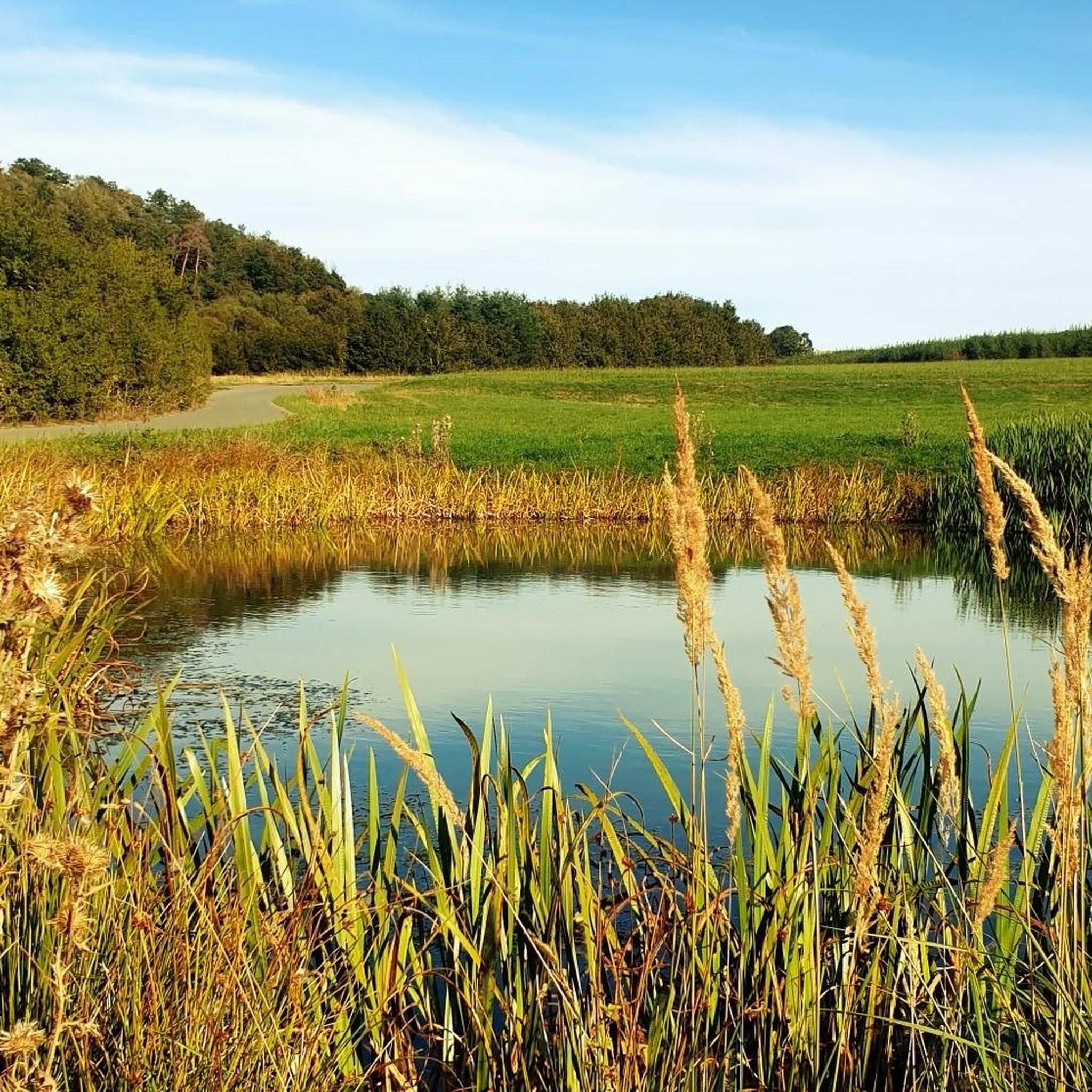
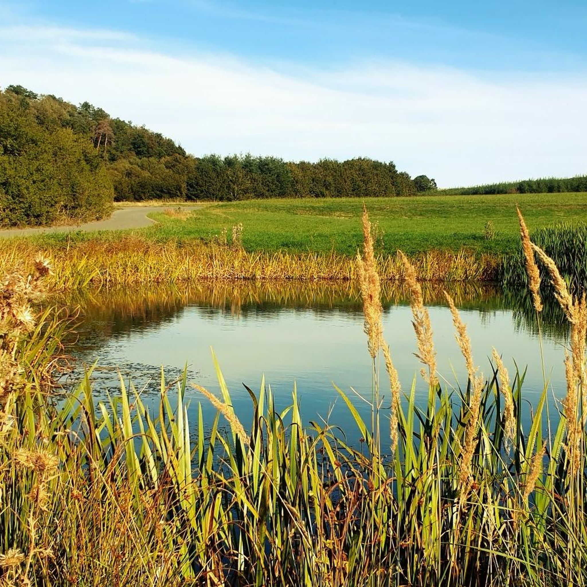
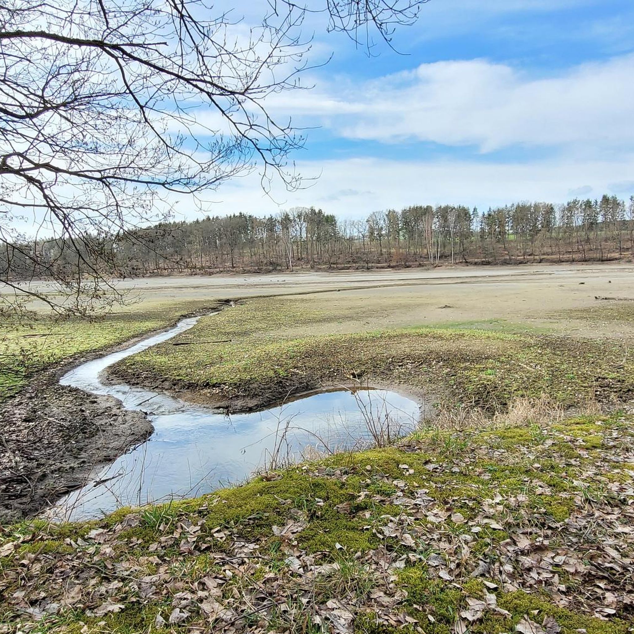
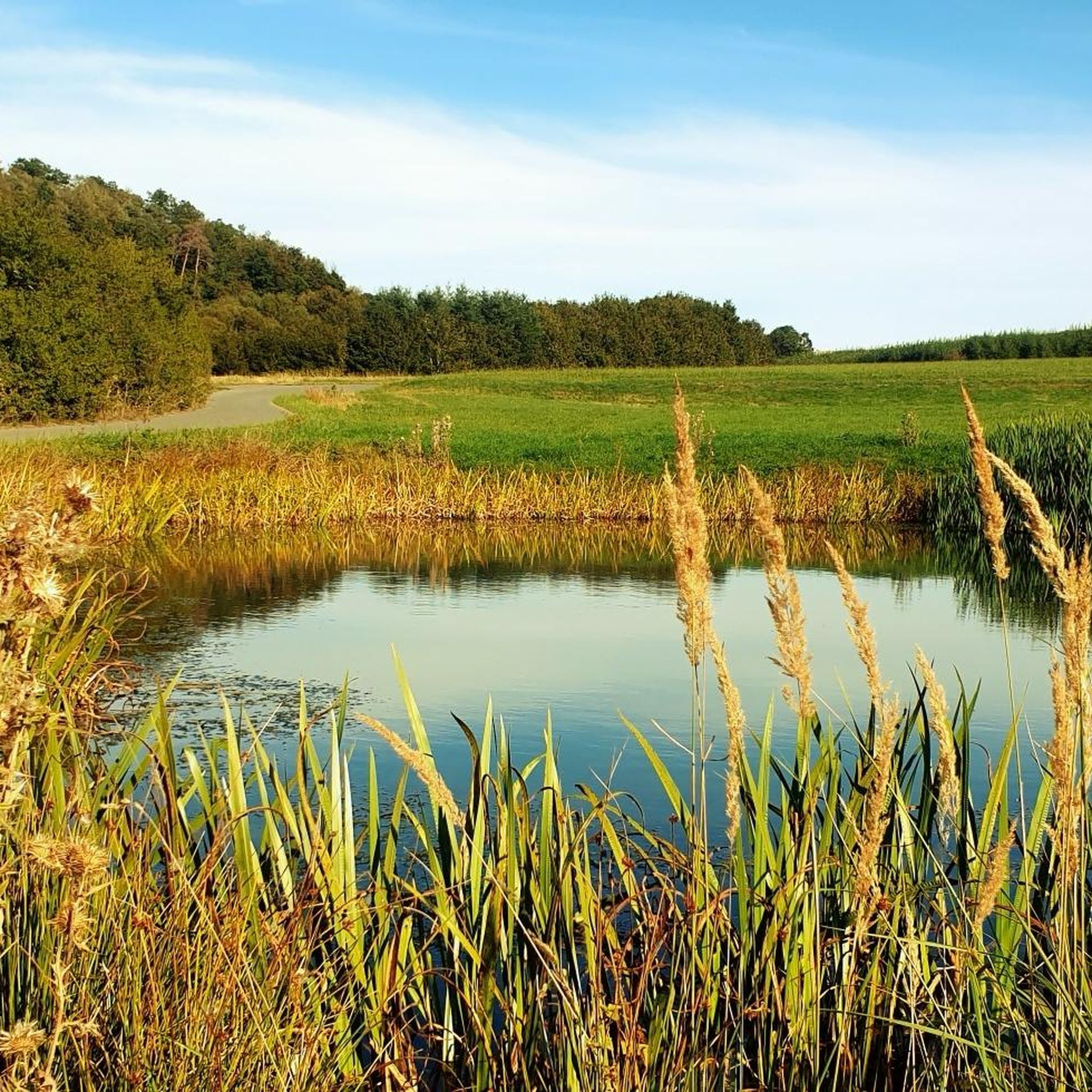
Gravel biking around Langenwolschendorf offers routes through a distinctly hilly landscape characterized by extensive forests and agricultural land. The region is situated between the Zeulenrodaer Meer and the Pöllwitzer Wald, providing varied terrain for gravel cyclists. Elevations like the "Schöne Höhe" reach 492 meters, offering panoramic views. The area features a network of unpaved roads, forest paths, and low-traffic routes suitable for gravel bikes.
Best gravel bike trails around Langenwolschendorf
- The most popular gravel bike trail is Brückentelefon Bridge –…
Last updated: May 22, 2026
3.7
(3)
17
riders
Moderate gravel ride. Good fitness required. Mostly paved surfaces. Suitable for all skill levels.
3.0
(1)
11
riders
Hard gravel ride. Very good fitness required. Mostly paved surfaces. Suitable for all skill levels.

Sign up for free
4.0
(2)
8
riders
40.5km
02:43
520m
520m
Hard gravel ride. Very good fitness required. Mostly paved surfaces. Suitable for all skill levels.
4.0
(2)
5
riders
34.6km
02:13
340m
340m
Moderate gravel ride. Good fitness required. Mostly paved surfaces. Suitable for all skill levels.
3
riders
35.7km
02:20
380m
380m
Hard gravel ride. Good fitness required. You may need to push your bike for some segments of this route.
Get access to more routes and recommendations from other explorers.
Sign up for free
Already have an account?
Our route recommendations are based on thousands of hikes, rides, and runs completed by other people on komoot.
Start today with a free account
Your next adventure awaits.
Login or Signup
Tips from the Community

Pick up stamp and do Kneipp therapy. Ideal in warm weather
0
0

There are some beautiful things to actively discover along the panoramic trail at Zeulenrodaer Meer 😊.
17
0
A lakeside stage overlooking the Zeulenroda reservoir. Events take place here several times a year.
16
0
Very nicely designed information point, especially for the kids.
8
0
A beautiful stilt house on the pond in Plothen 🤩.
17
0

Soak up the sun and enjoy the beauty of the landscape.
0
0

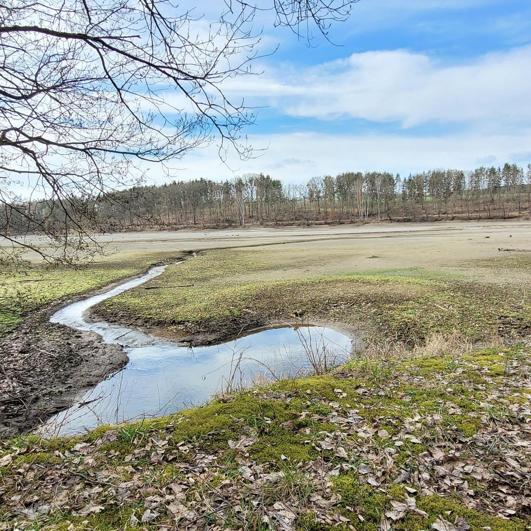
This is not Pirk, but the Zeulenroda Dam
1
0

The path is completely overgrown in late summer, with roots everywhere. It's no fun, even on an e-MTB. It's the first time I've ever caught a tick on my bike... Plus, you can barely make any progress. In an hour, I didn't even manage a quarter of the way around without dawdling.
0
0
Frequently Asked Questions
How many gravel bike trails are available in Langenwolschendorf?
There are over 20 gravel bike trails around Langenwolschendorf, offering a variety of experiences through the region's hilly landscape, forests, and agricultural areas.
What kind of terrain can I expect on gravel bike trails around Langenwolschendorf?
The terrain is distinctly hilly, characterized by extensive forests, agricultural land, and a mix of unpaved roads, forest paths, and low-traffic routes. You'll encounter varied surfaces ideal for gravel biking, including climbs to viewpoints like the "Schöne Höhe".
Are there gravel bike routes suitable for different skill levels?
Yes, the area offers routes for various abilities. You'll find 13 moderate trails and 8 more difficult options, ensuring there's a suitable challenge whether you're looking for a relaxed ride or a more demanding adventure.
Are there any moderate gravel bike routes around 30km?
Yes, for a moderate ride around that distance, consider the Pöllwitz Pond – At Röderberg Shelter loop from Triebes, which is 26.8 km long and takes you through pleasant scenery.
Can I find challenging gravel bike trails in the area?
Absolutely. For a more challenging ride with significant elevation gain, try the Schöne Höhe Observation Tower – Wooden Swing Shelter Rest Area loop from Triebes. This difficult 44.4 km path passes the "Schöne Höhe" and offers expansive views.
Are there circular gravel bike routes in Langenwolschendorf?
Many of the gravel bike routes in the region are circular, allowing you to start and end at the same point. For example, the Brückentelefon Bridge – Wooden Swing Shelter Rest Area loop from Weißendorf is a popular circular option.
What scenic viewpoints can I reach on a gravel bike?
The "Schöne Höhe" (Beautiful Height) at 492 meters above sea level offers expansive panoramic views, stretching from the slate mountains to the "Wismut" pyramids. The Schöne Höhe Observation Tower – Wooden Swing Shelter Rest Area loop from Triebes route specifically includes this highlight.
Are there any interesting landmarks or attractions along the gravel bike routes?
Yes, you can encounter several points of interest. For instance, the Wooden Swing Shelter Rest Area – Weida Dam loop from Zadelsdorf takes you past the Weida Dam. You might also find various shelters and huts like the Wolschendorfer Hut along other trails.
What do other gravel bikers enjoy most about gravel biking in Langenwolschendorf?
The area is highly rated by the komoot community, with an average score of 3.7 stars. Reviewers often praise the varied terrain, the quiet woodlands, and the scenic views, especially from elevated points like the "Schöne Höhe".
Are there any routes that pass by water features?
Yes, the region is close to the Zeulenrodaer Meer, a significant reservoir. The Wooden Swing Shelter Rest Area – Weida Dam loop from Zadelsdorf specifically leads past the Weida Dam, offering views of this water body.
Is Langenwolschendorf suitable for family-friendly gravel biking?
While specific family-friendly gravel routes are not detailed, the region's network of unpaved roads and forest paths, combined with its generally rural and scenic character, can be adapted for families. Many local hiking trails, which often share similar terrain, are noted as suitable for relaxing walks and families, suggesting potential for easier gravel rides.
What is the best time of year for gravel biking in Langenwolschendorf?
The varied landscape of Langenwolschendorf is enjoyable throughout the warmer months, from spring to autumn, when the forests are lush and the views are clear. The region's hilly nature and forest paths make it particularly appealing during these seasons.
Most popular routes around Langenwolschendorf
Most popular attractions around Langenwolschendorf

Get inspired with the komoot mobile app


Explore more
Browse the best Gravel rides in other regions.
