The best gravel rides around Sonnenbühl
4.4
(77)
361
riders
86
rides
Gravel biking around Sonnenbühl offers routes through the diverse landscapes of the Swabian Alb, characterized by rolling hills, deep valleys carved by rivers like the Lauchert and Lauter, and extensive forest areas. The region's terrain provides varied surfaces suitable for gravel biking, including unpaved forest roads, agricultural tracks, and paved sections connecting villages. Sonnenbühl is nestled in the Swabian Jura, featuring numerous viewpoints, river valleys, and changing scenery through meadows, orchards, and vast forests. This diverse environment caters to various skill levels, from leisurely rides to routes with significant elevation gain.
Best gravel bike trails around Sonnenbühl
- The most popular gravel bike trail is Laucherttal near the mill – Lauchertal Valley loop from Engstingen Schulzentrum, a 22.4 miles (36.0 km) trail that takes 1 hour 57 minutes to complete. This moderate route explores the scenic Lauchertal Valley.
- Another top favourite among local gravel bikers is Starzeltal Valley – Along the Starzel River loop from Mössingen, a difficult 27.9 miles (45.0 km) path. This route features significant elevation changes and explores the Starzeltal Valley.
- Local gravel bikers also love the Öschenbachtal climb – View of Rossberg loop from Öschenbachtal, a 11.1 miles (17.8 km) trail leading through the Öschenbachtal with views towards Rossberg, often completed in about 1 hour 42 minutes.
- Gravel biking around Sonnenbühl is defined by its river valleys, dense forests, and panoramic viewpoints. The network offers options for both moderate and challenging ability levels.
- The routes in Sonnenbühl are highly rated by the komoot community with an average score of 4.2 stars from over 38 reviews. More than 330 gravel bikers have used komoot to explore Sonnenbühl's varied terrain.
Last updated: November 17, 2026
4.8
(9)
44
riders
76.5km
04:08
640m
640m
Hard gravel ride. Very good fitness required. Mostly paved surfaces.
4.0
(5)
20
riders
Hard gravel ride. Very good fitness required. You may need to push your bike for some segments of this route.

4.9
(8)
29
riders
27.6km
01:43
460m
460m
Hard gravel ride. Very good fitness required. Mostly paved surfaces.
4.7
(3)
21
riders
124km
06:56
1,380m
1,380m
Hard gravel ride. Very good fitness required. Mostly paved surfaces.
11
riders
44.9km
02:59
650m
650m
Hard gravel ride. Very good fitness required. Mostly paved surfaces.
Get access to more routes and recommendations from other explorers.
Already have an account?
Our route recommendations are based on thousands of hikes, rides, and runs completed by other people on komoot.
Start today with a free account
Your next adventure awaits.
Popular around Sonnenbühl
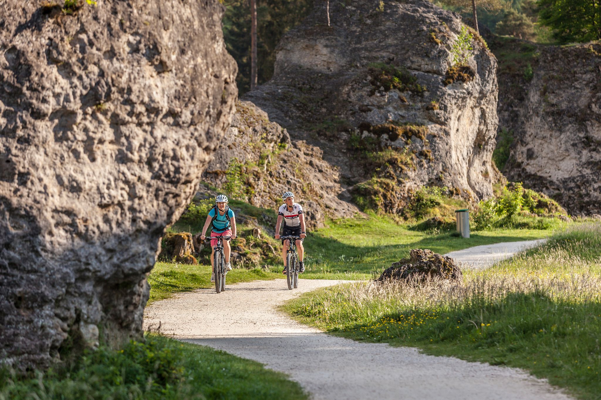
Experience nature by bike in the Swabian Jura
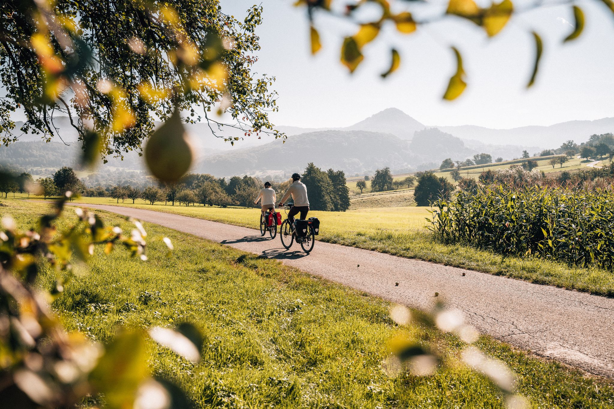
Cycle the Swabian Alb Cycle Path to Lake Constance
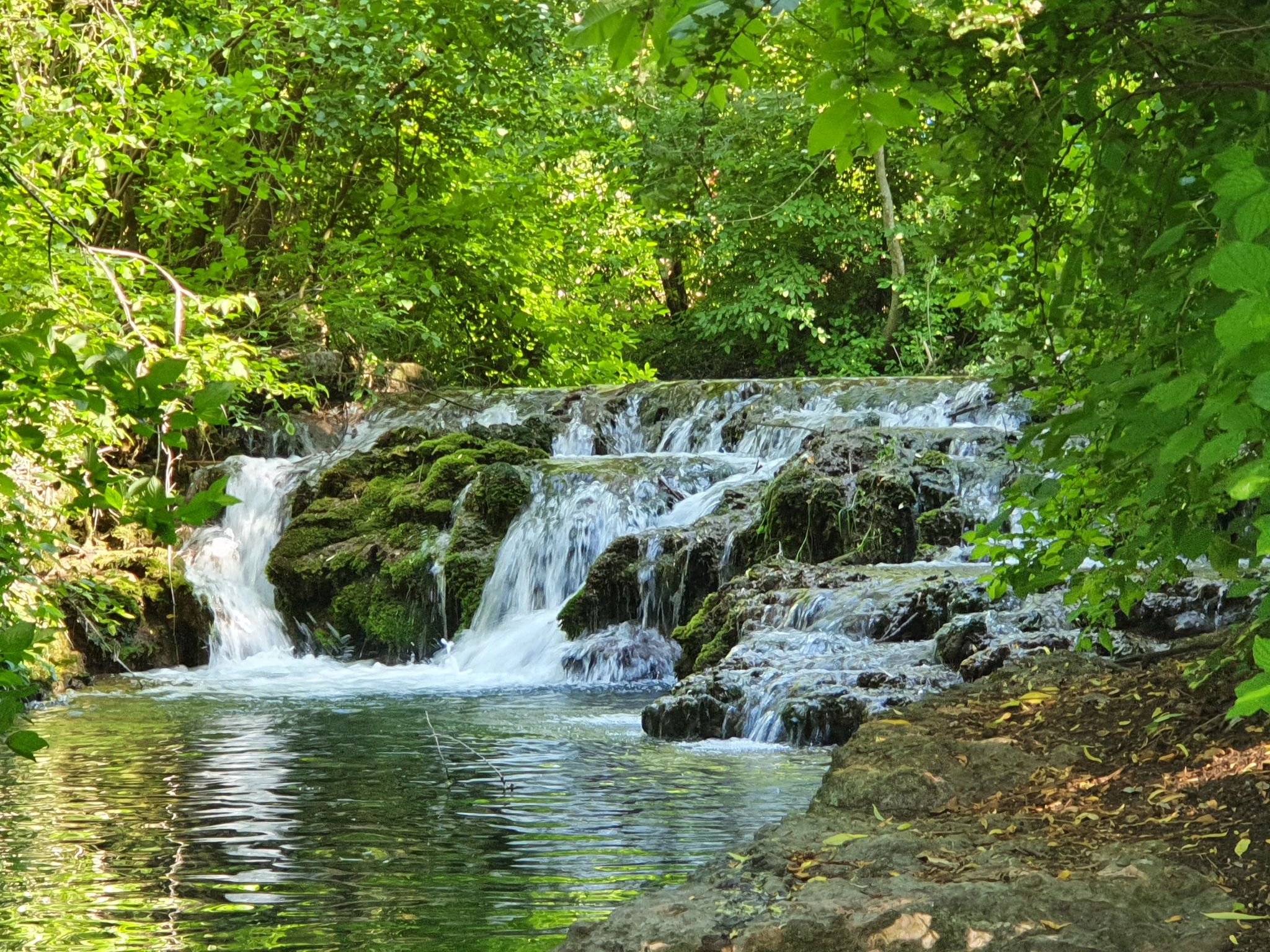
Explore the myths of the Swabian Alb – 20 fantastic bike Tours
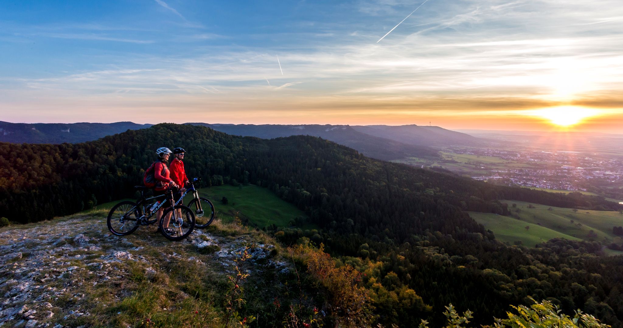
Alb-Crossing in Germany – traversing the Swabian Alb by bike
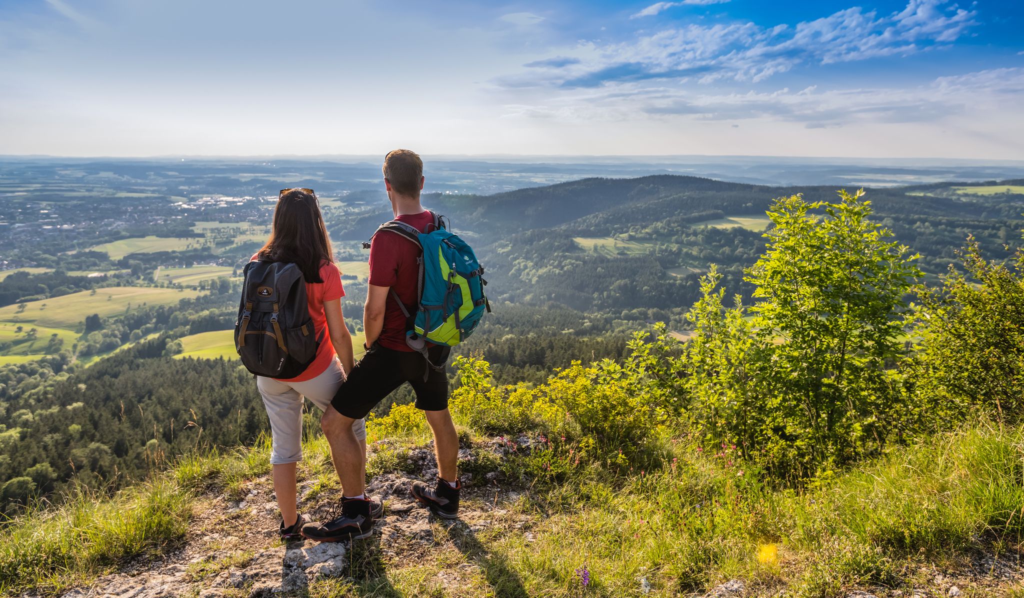
The Swabian Albsteig (HW1) – 16 stages of panoramic views
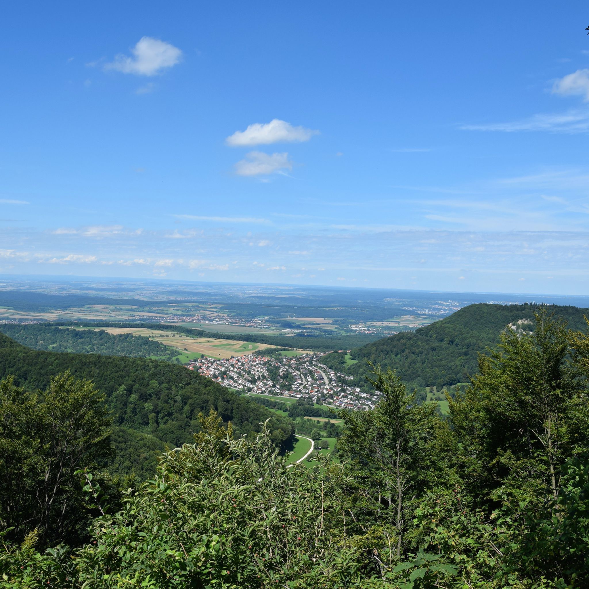
Hiking around Sonnenbühl
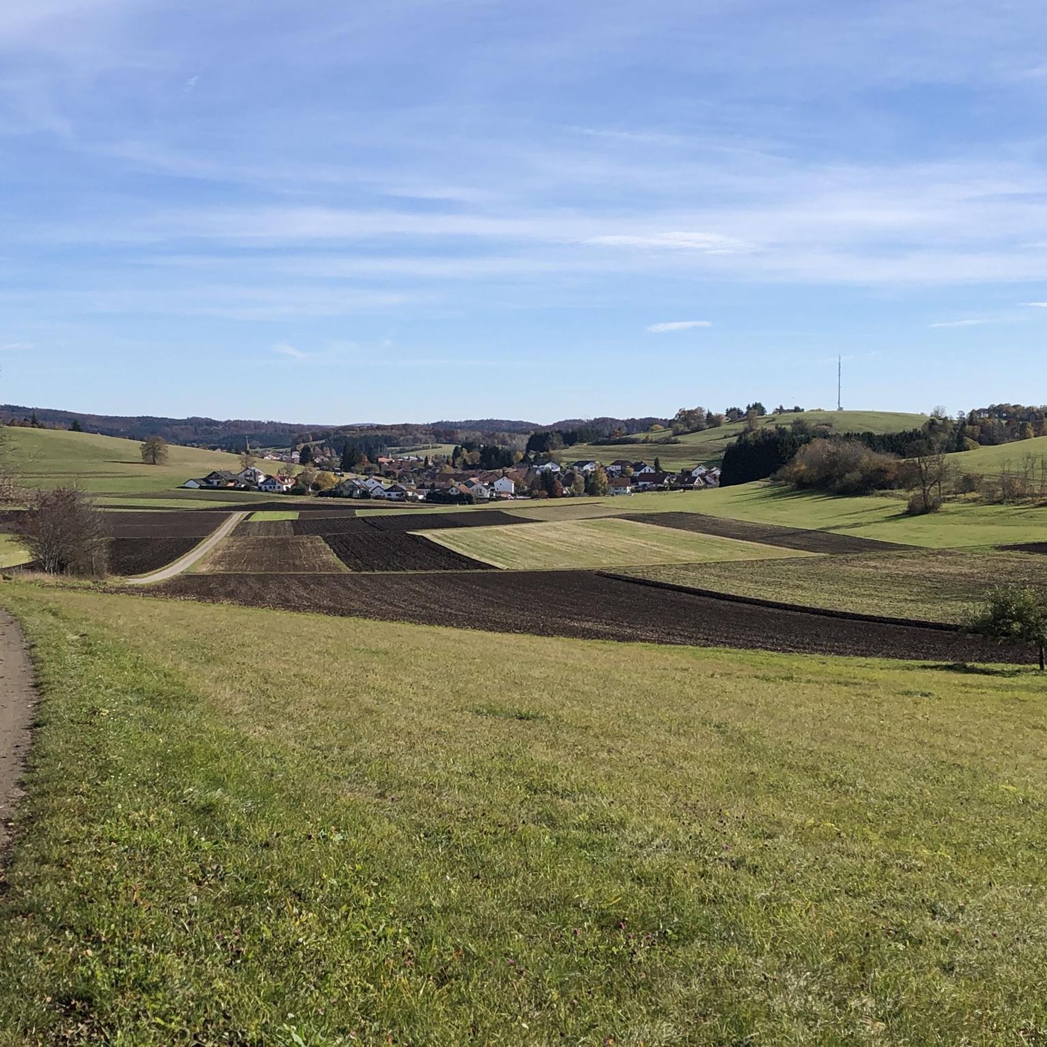
Cycling around Sonnenbühl
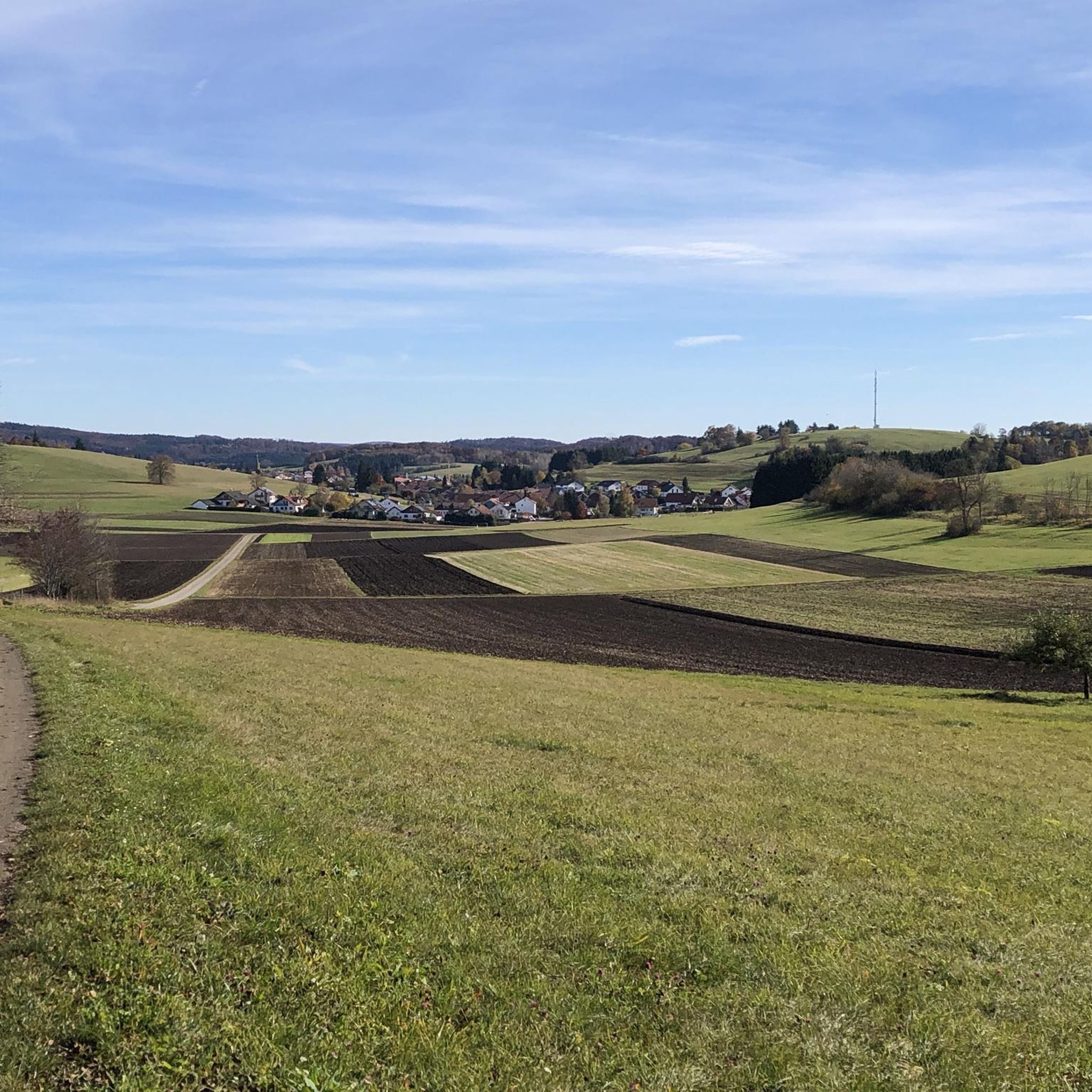
MTB Trails around Sonnenbühl
Road Cycling Routes around Sonnenbühl
Running Trails around Sonnenbühl
Other adventures around Sonnenbühl

Tips from the Community

Wide forest paths that are perfect for a relaxed run or walk. 🌲🥾
0
0

Picturesque landscape, well-developed cycle path
0
0

Beautiful to ride through here.
0
0

The density of restaurants here is very low!
0
0

Nature reserve, please do not cycle through, the cycle path goes a little above to the Schützenhaus and then swings downwards.
0
0

Quiet and relaxed along the Starzel. Apart from two cyclists, we met no one.
6
0

Basically a nice tour along the Neckar. The cycle path is well-developed and signposted. Unfortunately, now and then there is a short ride on public roads with traffic etc., so you have to be more careful with small children!
0
0

Along the Lautertal, following the "Große Lauter", you often see beautiful rock formations.
0
0
Frequently Asked Questions
What kind of terrain can I expect on gravel bike trails in Sonnenbühl?
Gravel biking in Sonnenbühl offers a diverse landscape, primarily characterized by rolling hills, deep river valleys like the Lauchert and Lauter, and extensive forest areas. You'll encounter a mix of unpaved forest roads, agricultural tracks, and some paved sections connecting villages, providing varied surfaces suitable for gravel biking.
How many gravel bike trails are available in Sonnenbühl?
There are over 180 gravel bike routes available around Sonnenbühl, catering to various skill levels. This includes 78 moderate trails and 106 more challenging options, ensuring there's something for every gravel biker.
Are there easy gravel bike trails suitable for beginners in Sonnenbühl?
While the majority of routes are classified as moderate or difficult, some sections of trails like the Öschenbachtal climb – View of Rossberg loop from Öschenbachtal offer a good introduction to the region's gravel biking, with a distance of 17.8 km and moderate difficulty. It's always recommended to check the route details for elevation and surface type to match your comfort level.
What are some challenging gravel bike trails in Sonnenbühl?
For experienced riders seeking a challenge, the Lautertal Valley – Great Lauter Valley loop from Engstingen is a difficult 62.5 km path with significant elevation changes. Another demanding option is the View from the Rutschenfelsen – View from the Rutschenfelsen loop from Engstingen, covering 56.8 km with substantial climbs.
Are there circular gravel bike routes in Sonnenbühl?
Yes, many of the gravel bike routes in Sonnenbühl are designed as loops. For example, the popular Laucherttal near the mill – Lauchertal Valley loop from Engstingen Schulzentrum is a 36 km circular trail exploring the scenic Lauchertal Valley. The Dachenstein Observation Tower – Hohenstein Forest Trail 4 loop from Trochtelfingen is another excellent circular option.
What is the best season for gravel biking in Sonnenbühl?
The best seasons for gravel biking in Sonnenbühl are typically spring, summer, and autumn. During these months, the weather is generally mild, and the trails are in good condition. Winter conditions can bring snow and ice, making some unpaved sections challenging or impassable, so always check local weather and trail reports.
What can I see along the gravel bike trails in Sonnenbühl?
The region offers numerous natural attractions. You might encounter impressive rock formations like Wackerstein or enjoy panoramic views from Dreifürstenstein and the Schönberg Tower. The area is also known for its caves, including the Sonnenbühl fog cave and Tufa cave at Upper Gönninger Lake.
Are there any viewpoints or scenic spots along the gravel routes?
Absolutely. The Swabian Alb is known for its stunning vistas. You can find excellent viewpoints such as Gießstein and the View from Dreifürstenstein. Many routes also traverse elevated sections, offering expansive views over the valleys and forests, like the trail leading towards Rossberg.
What do other gravel bikers enjoy the most about gravel biking in Sonnenbühl?
The gravel biking experience in Sonnenbühl is highly rated by the komoot community, with an average score of 4.2 stars from over 125 reviews. Reviewers often praise the diverse terrain, the scenic river valleys, and the extensive network of trails that cater to both moderate and challenging ability levels.
Are there any places to stop for refreshments or food along the trails?
While specific cafe stops vary by route, the region has charming villages that often offer opportunities for refreshments. For instance, near the Sonnenbühl fog cave, you can find the Maultaschenwirt at the Nebel Cave, a popular spot for a break. It's always a good idea to check local village amenities or pack your own snacks and water.
Is it possible to access gravel bike trails in Sonnenbühl using public transport?
Access to trailheads via public transport can vary. Larger towns like Engstingen, which serves as a starting point for several routes including the Laucherttal near the mill – Lauchertal Valley loop, often have better public transport connections. However, for more remote trailheads, personal transport or a combination of public transport and a short ride might be necessary. It's advisable to check local bus schedules for specific starting points.
Where can I find parking for gravel bike trails in Sonnenbühl?
Many trailheads, especially those starting from villages like Engstingen or Trochtelfingen, offer designated parking areas. For example, routes like the Laucherttal near the mill – Lauchertal Valley loop often begin near public facilities or town centers where parking is available. Always look for official parking signs or consult local maps for specific parking locations.
Most popular routes around Sonnenbühl
Most popular attractions around Sonnenbühl

Get inspired with the komoot mobile app


Explore more
Browse the best Gravel rides in other regions.
