The best gravel rides around Kaltenwestheim
4.7
(15)
46
riders
6
rides
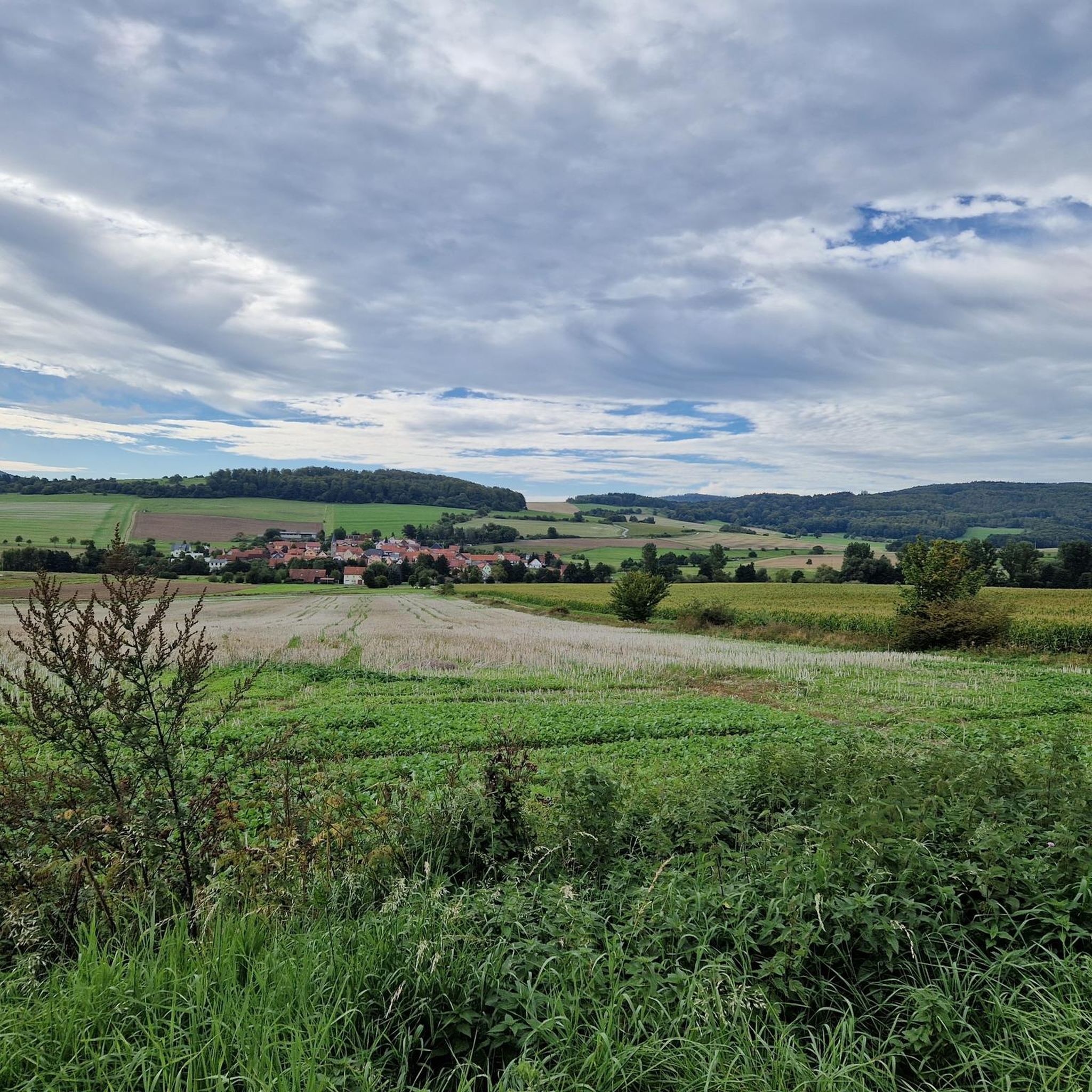
Gravel biking around Kaltenwestheim offers diverse landscapes within the Rhön Mountains, known for expansive open views and native forests. The region features varied terrain, including extensive forest and meadow areas, making it suitable for gravel cyclists. Trails often traverse the "Schwarzen Bergen" (Black Mountains) and incorporate unique natural features such as the Black Moor. The area provides a network of routes with varying elevations and surfaces.
Best gravel bike trails around Kaltenwestheim
- The most popular gravel bike trail is Schwarzes…
Last updated: October 6, 2026
4.6
(5)
17
riders
37.2km
02:54
610m
610m
Hard gravel ride. Very good fitness required. Mostly paved surfaces. Suitable for all skill levels.
5.0
(5)
14
riders
30.7km
01:46
310m
310m
Moderate gravel ride. Good fitness required. Mostly paved surfaces. Suitable for all skill levels.

4.0
(2)
5
riders
26.1km
01:36
370m
370m
Moderate gravel ride. Good fitness required. Mostly paved surfaces. Suitable for all skill levels.
5.0
(1)
3
riders
24.8km
01:45
550m
550m
Hard gravel ride. Very good fitness required. Mostly paved surfaces. Suitable for all skill levels.
5.0
(2)
3
riders
59.7km
03:55
1,050m
1,050m
Hard gravel ride. Very good fitness required. Mostly paved surfaces. Suitable for all skill levels.
Our route recommendations are based on thousands of hikes, rides, and runs completed by other people on komoot.
Start today with a free account
Your next adventure awaits.
Popular around Kaltenwestheim



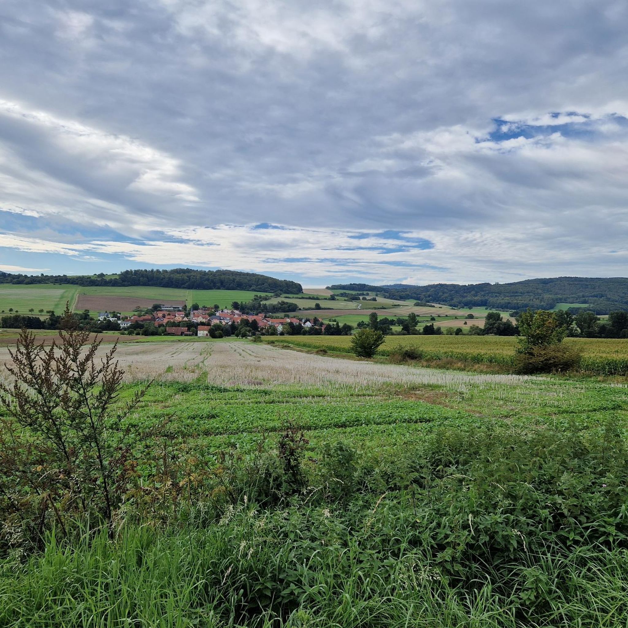
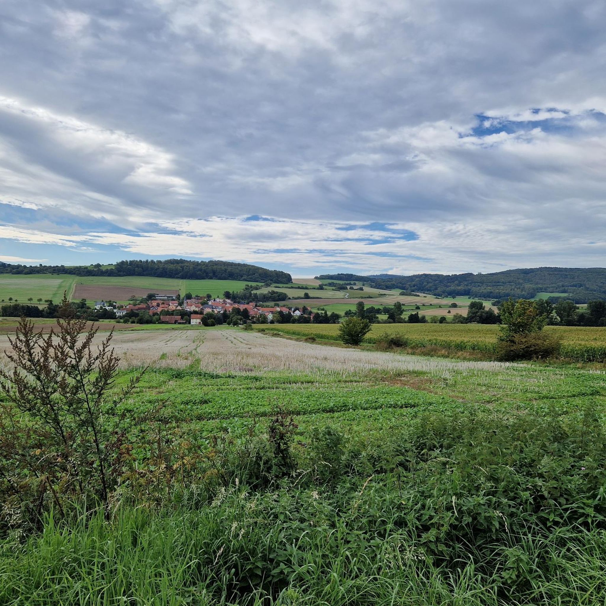
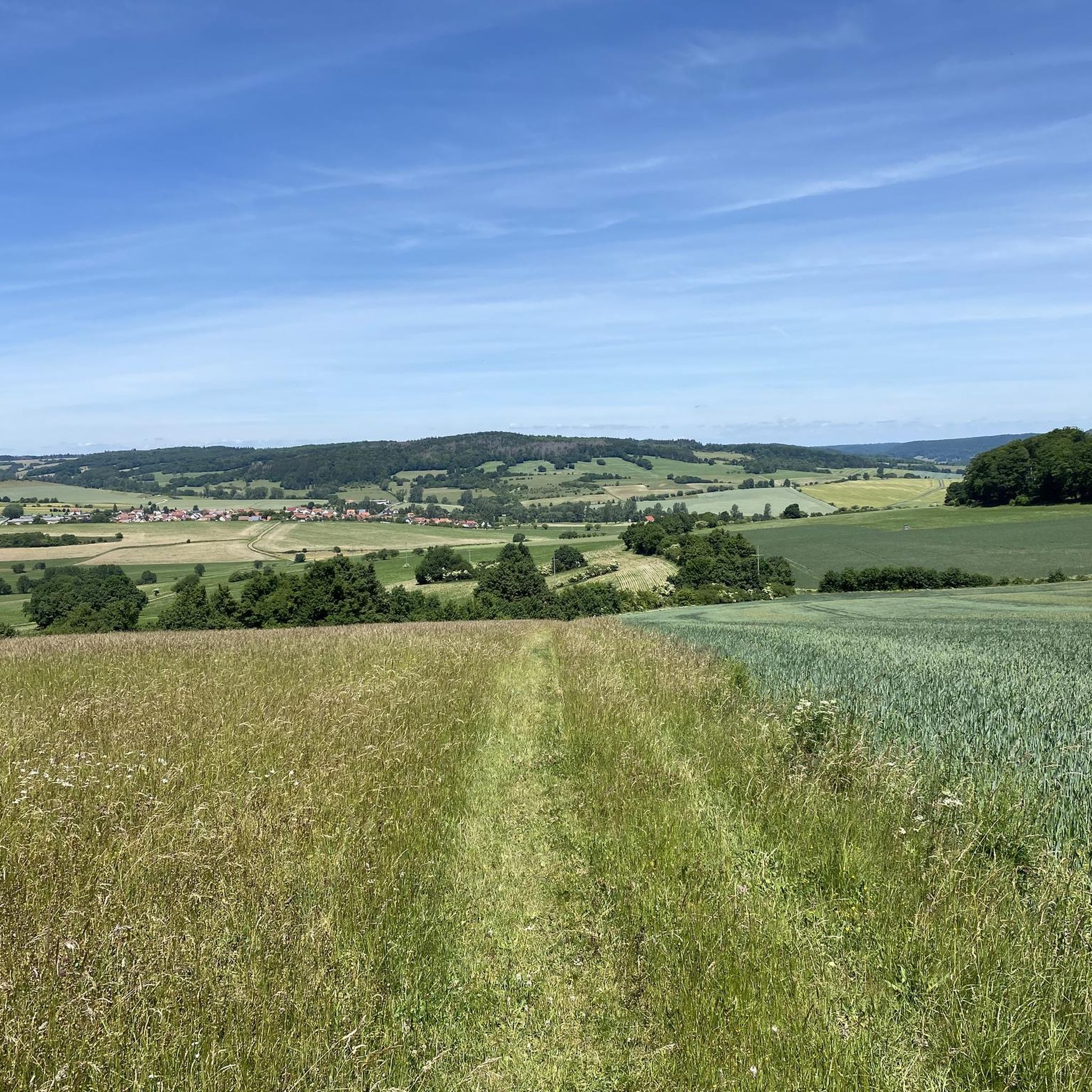
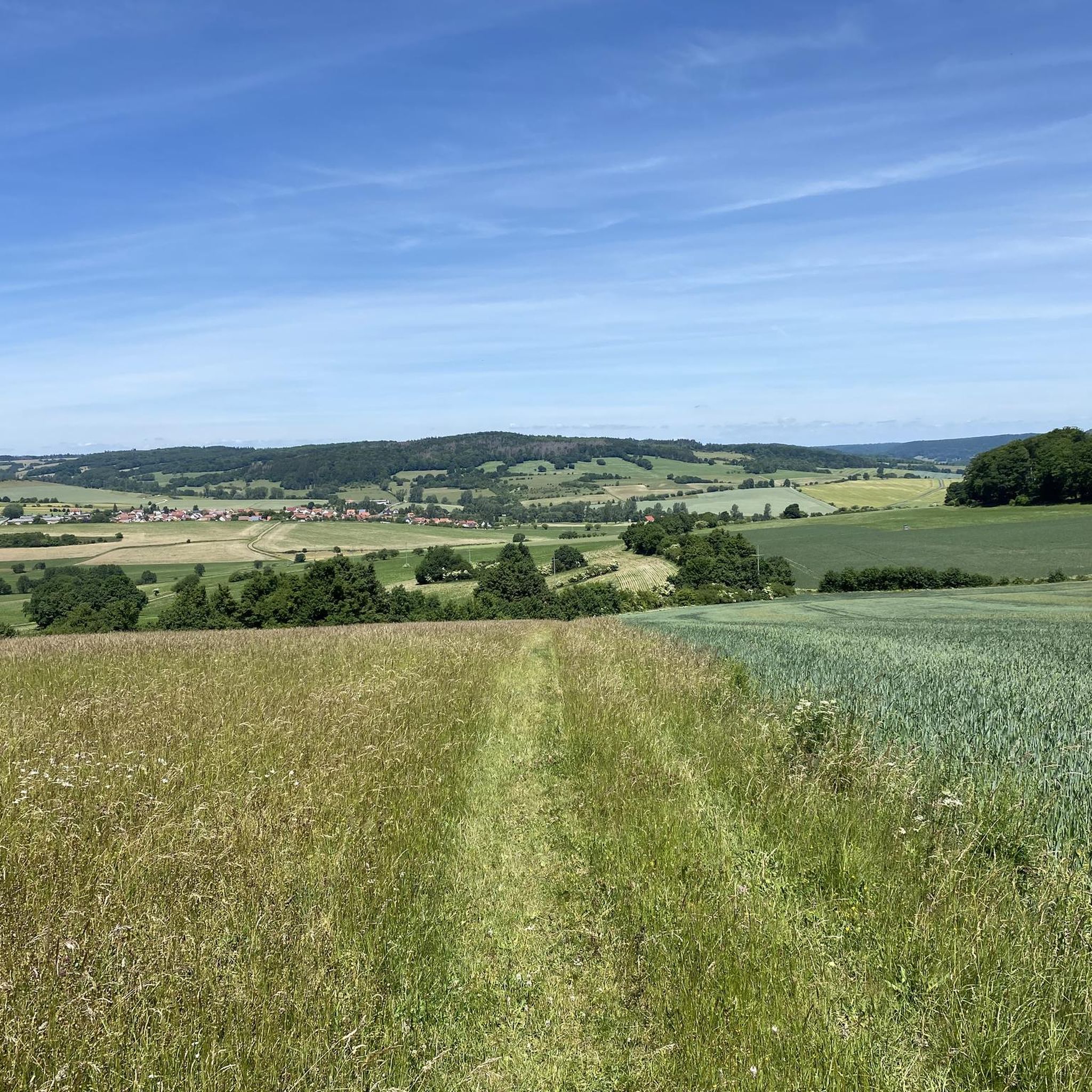


Tips from the Community

From here you have a great view of the Rhön landscape.
0
0

Great, you can observe a lot there
0
0

The Silbersee is an artificially created basalt lake in the former quarry of the Rother Berg. Known for its striking turquoise-green to blue-green water, steep rock faces, and the surrounding, re-naturalized landscape.
1
0

Very beautiful view into the valley and distance
0
0

Very worthwhile to walk there - beautiful view from the tower.
0
0

Always beautiful and full of memories...
0
0

Oll Oll Oll Oll Oll oll oll ä Pop Pop LOL Oll LOL LOL LOL LOL LOL Oll Oll p ö Oll Oll Mol Oll LL LL LL LOL komm l p
0
2

Frequently Asked Questions
How many gravel bike trails are available around Kaltenwestheim?
There are 12 gravel bike trails around Kaltenwestheim listed on komoot. These include 3 moderate routes and 9 more challenging, difficult routes, offering a good variety for different skill levels.
What kind of terrain can I expect on gravel bike trails near Kaltenwestheim?
The terrain around Kaltenwestheim, nestled in the Rhön Mountains, is quite diverse. You'll encounter expansive open views, native forests, and rolling meadows, particularly in areas like the "Schwarzen Bergen" (Black Mountains). Routes often feature a mix of gravel paths, tracks, and some paved sections, providing a varied and scenic riding experience.
Are there any easy gravel bike routes suitable for beginners or families around Kaltenwestheim?
While most routes are moderate to difficult, there are options that might be more accessible. For example, the Streutalbahn Railway Path – Fladungen Museum Railway loop from Fladungen is a moderate 19.1-mile (30.7 km) path that follows a former railway line, offering a mix of smooth and gravel surfaces. This type of route can be more forgiving for those looking for a less strenuous ride.
What natural features or landmarks can I see along the gravel bike routes?
Many routes offer stunning natural features and landmarks. You can explore the unique Black Moor, a distinct ecological area. The region is also known for the "Schwarzen Bergen" (Black Mountains) with their extensive forests and meadows. For impressive views, consider routes that pass by the Rhön Mountains or the Kreuzberg, known as the "Holy Mountain of the Franconians." You might also encounter the Eisgraben Waterfall or the Basalt Lake Waterfall.
Are there any routes that offer particularly scenic viewpoints?
Absolutely. The Rhön Mountains are renowned for their breathtaking open views. Routes like the View of the Rhön Mountains – View of Harbachstein loop from Hilders are specifically designed to showcase these panoramic vistas. The Wasserkuppe, the highest mountain in the Rhön, also provides significant natural landmarks and views, often visible from various trails.
Are there any circular gravel bike routes around Kaltenwestheim?
Yes, many of the gravel bike routes around Kaltenwestheim are designed as loops, allowing you to start and end in the same location. Examples include the Schwarzes Moor loop from Flagunden and the Felda Rail Trail – Hohe Asch Summit loop from Dermbach.
What do other gravel bikers enjoy most about the trails in Kaltenwestheim?
The gravel biking routes around Kaltenwestheim are highly rated by the komoot community, with an average score of 4.9 stars from over 10 reviews. Riders frequently praise the diverse landscapes, the expansive open views of the Rhön Mountains, and the tranquil experience of cycling through native forests and rolling meadows.
Is it possible to find food and drink options along the trails or in Kaltenwestheim?
Kaltenwestheim and the surrounding Rhön region offer various opportunities for refreshments. While specific cafes or pubs directly on every trail might be limited, you'll find options in the villages and towns. The region also has several huts and rest areas, such as the Thuringian Rhön House or the Rhönpaulus Rest Area, which can provide a place to stop and refuel.
Are there any historical or cultural attractions near the gravel bike routes?
Yes, the region blends history with nature. You can find attractions like the Franconian Open Air Museum Fladungen, RhönRäuberPark, Arche Rhön, and Point Alpha, which offers insights into Cold War history. Kaltenwestheim itself has the local landmark "Wetzstein." Some routes, like the Milseburg Tunnel – View of Bieberstein Castle loop from Unterweid, pass by historical points of interest.
What is the best time of year for gravel biking in Kaltenwestheim?
The Rhön Mountains offer beautiful scenery throughout much of the year. Spring and autumn generally provide pleasant temperatures and vibrant landscapes, making them ideal for gravel biking. Summer is also great, though some routes might be more exposed to the sun. Winter conditions can vary, with snow and ice possible, so checking local weather and trail conditions is always recommended.
Are there options for parking near the gravel bike trailheads in Kaltenwestheim?
Yes, many trailheads and starting points for gravel bike routes in and around Kaltenwestheim offer parking facilities. It's common for villages and popular natural attractions to have designated parking areas for visitors. For specific routes, checking the tour details on komoot often provides information on recommended starting points and parking availability.
Can I access the gravel bike trails using public transport?
While Kaltenwestheim is a rural area, public transport options exist to reach the region. Depending on your starting point, you might be able to use regional buses or trains to get close to some trailheads. However, for maximum flexibility, especially with a bike, driving to a starting point with parking is often the most convenient option.
Most popular routes around Kaltenwestheim
Most popular attractions around Kaltenwestheim

Get inspired with the komoot mobile app


Explore more
Browse the best Gravel rides in other regions.
