The best gravel rides around Oberweid
4.9
(13)
41
riders
6
rides
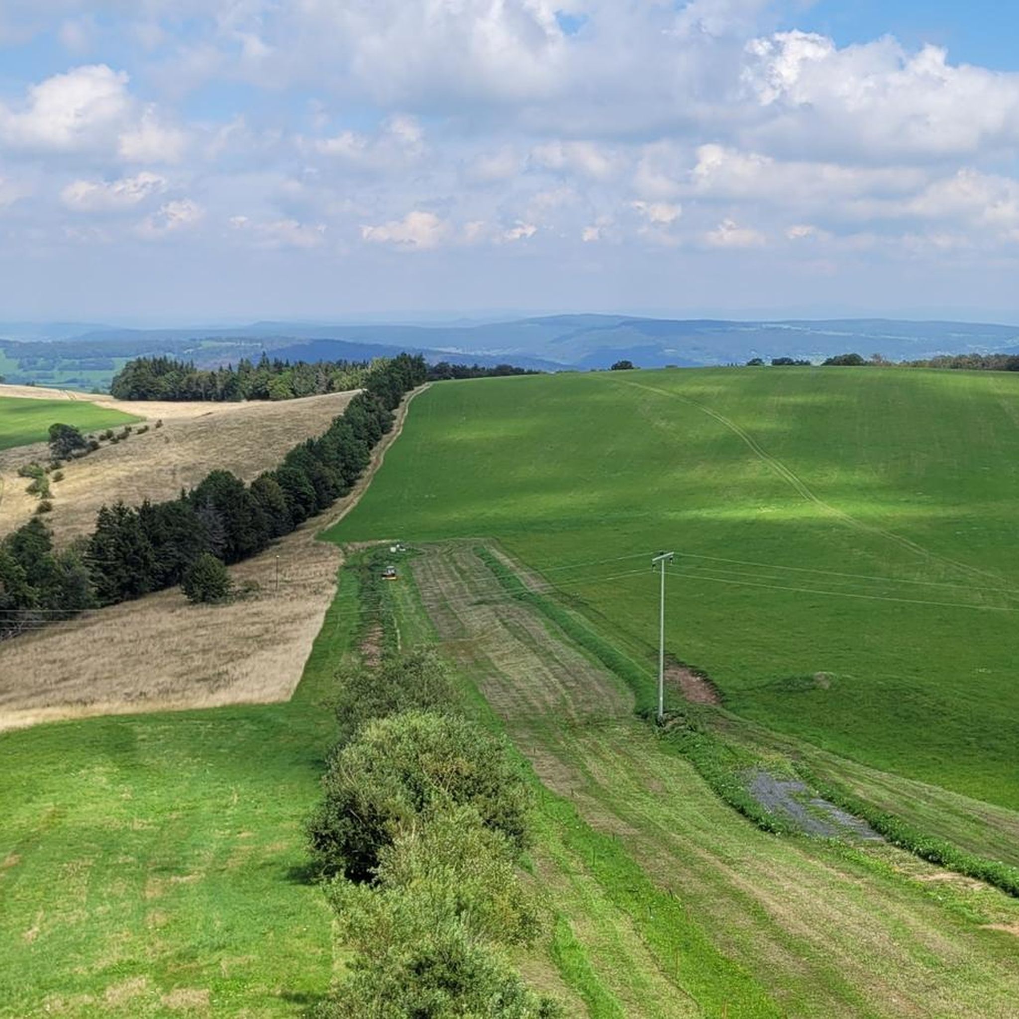
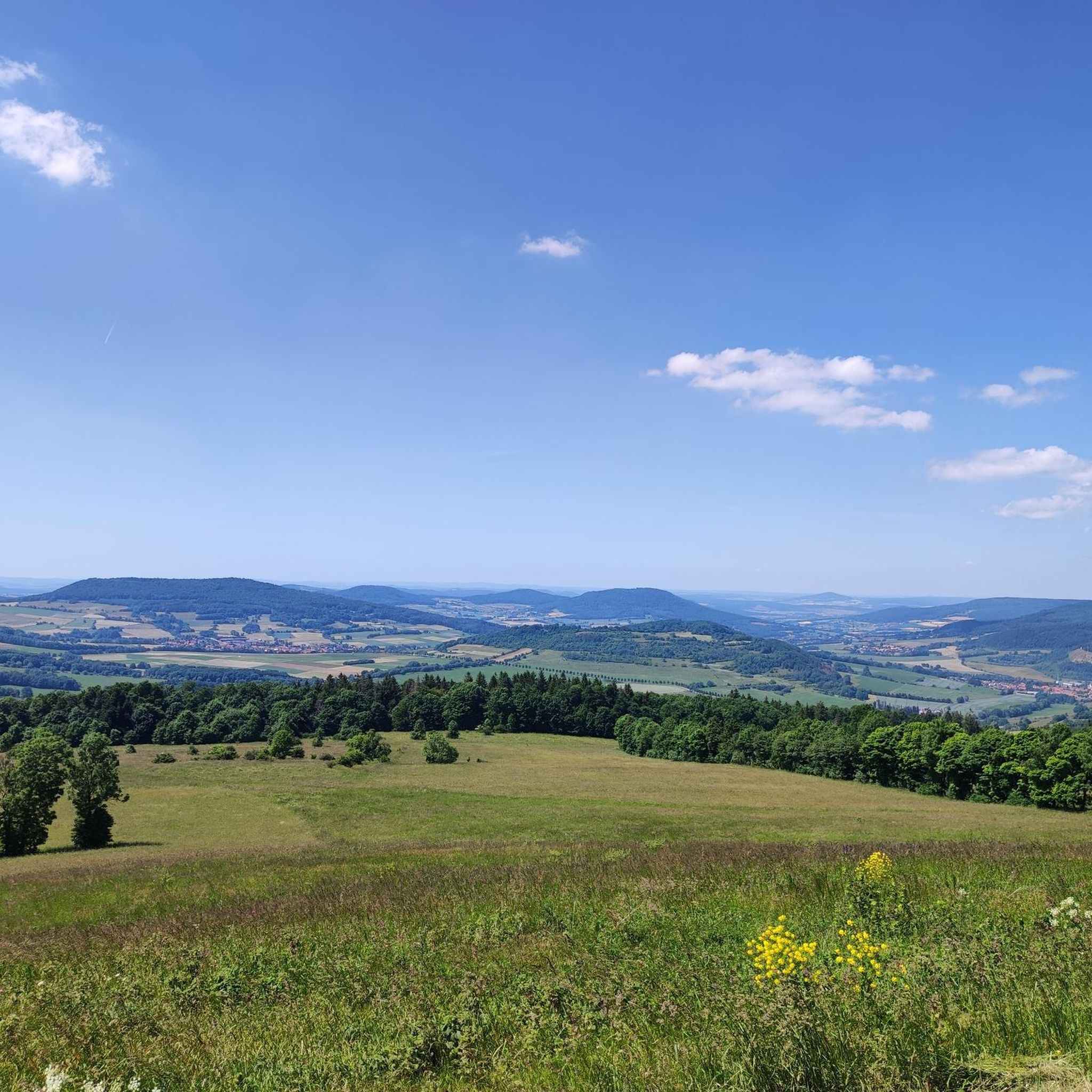
Gravel biking around Oberweid offers routes through the Rhön Mountains, characterized by rolling hills, open moorland, and forested sections. The region features varied terrain, including former railway paths and dedicated cycle routes, providing a mix of surfaces for gravel cyclists. Elevations are generally moderate, with some routes featuring significant climbs.
Best gravel bike trails around Oberweid
- The most popular gravel bike trail is Schwarzes Moor loop from Flagunden - Bavarian Rhön Nature Park, a difficult 23.1 miles (37.2 km)…
Last updated: October 6, 2026
4.6
(5)
17
riders
37.2km
02:54
610m
610m
Hard gravel ride. Very good fitness required. Mostly paved surfaces. Suitable for all skill levels.
5.0
(5)
14
riders
30.7km
01:46
310m
310m
Moderate gravel ride. Good fitness required. Mostly paved surfaces. Suitable for all skill levels.

5.0
(1)
3
riders
24.8km
01:45
550m
550m
Hard gravel ride. Very good fitness required. Mostly paved surfaces. Suitable for all skill levels.
5.0
(2)
3
riders
60.1km
03:55
1,050m
1,050m
Hard gravel ride. Very good fitness required. Mostly paved surfaces. Suitable for all skill levels.
2
riders
25.3km
01:33
370m
370m
Moderate gravel ride. Good fitness required. Mostly paved surfaces. Suitable for all skill levels.
Our route recommendations are based on thousands of hikes, rides, and runs completed by other people on komoot.
Start today with a free account
Your next adventure awaits.
Other adventures around Oberweid

Tips from the Community

Great, you can observe a lot there
0
0

The Silbersee is an artificially created basalt lake in the former quarry of the Rother Berg. Known for its striking turquoise-green to blue-green water, steep rock faces, and the surrounding, re-naturalized landscape.
1
0

Very beautiful view into the valley and distance
0
0

Very worthwhile to walk there - beautiful view from the tower.
0
0

Always beautiful and full of memories...
0
0

Oll Oll Oll Oll Oll oll oll ä Pop Pop LOL Oll LOL LOL LOL LOL LOL Oll Oll p ö Oll Oll Mol Oll LL LL LL LOL komm l p
0
2


Frequently Asked Questions
How many gravel bike trails are available around Oberweid, and what are their difficulty levels?
The Oberweid area offers a good selection of gravel bike trails, with 14 routes currently listed. These cater to various skill levels, including 4 moderate routes and 10 more challenging options for experienced riders.
What are the typical lengths of gravel bike routes near Oberweid?
Gravel bike routes around Oberweid vary in length, generally ranging from around 17 miles (27 km) to over 26 miles (43 km). For instance, the Brand-Wickers Cycle Path – View of Milseburg loop from Eckweisbach is 17.0 miles (27.4 km), while the Schwarzes Moor loop from Flagunden - Bavarian Rhön Nature Park covers 23.1 miles (37.2 km).
Are there many circular gravel bike routes in the Oberweid area?
Yes, many of the gravel bike routes around Oberweid are designed as loops, allowing you to start and finish at the same point. This includes popular options like the Streutalbahn Railway Path – Fladungen Museum Railway loop from Fladungen, which follows a historic railway line.
What scenic highlights or attractions can I expect to see along gravel bike trails in Oberweid?
The trails often lead through the scenic Rhön Mountains, offering diverse landscapes. You might encounter natural monuments like the Schwarzes Moor Nature Trail or the Great Moor Eye (Black Moor). Other points of interest include the Eisgraben Nature Reserve and various viewpoints such as the View of the Umpfen Cliffs and Rhön Valley.
When is the best time of year for gravel biking around Oberweid?
The best time for gravel biking in the Rhön Mountains around Oberweid is typically from late spring through early autumn (May to October). During these months, the weather is generally milder, and the trails are less likely to be affected by snow or heavy mud, offering more pleasant riding conditions.
Are there challenging gravel bike trails for experienced riders in Oberweid?
Absolutely. The region features 10 difficult gravel routes for those seeking a challenge. A notable example is the Wasserkuppe Gliding Airfield – Radome on the Wasserkuppe loop from Eckweisbach, which includes significant elevation gains as it explores the highest peak in the Rhön.
Where can I find parking for gravel biking trails near Oberweid?
Many trailheads in the villages surrounding Oberweid, such as Flagunden, Fladungen, Eckweisbach, and Hilders, offer designated parking areas. It's advisable to check local signage or online maps for specific parking information at your chosen starting point.
Is it possible to access gravel bike trails around Oberweid using public transport?
While direct access to every trailhead by public transport might be limited, regional bus services connect many of the villages in the Rhön Mountains, including those near Oberweid. Some routes, particularly those following former railway lines, might be more accessible. Check local bus schedules for connections to starting points like Fladungen or Hilders.
Are there family-friendly gravel bike routes in Oberweid?
Yes, some routes are more suitable for families, especially those that follow former railway paths, which tend to have smoother surfaces and gentler gradients. The View of the Rhön Mountains – View of Harbachstein loop from Hilders is a moderate option that offers scenic views without overly demanding climbs.
What do other gravel bikers enjoy the most about gravel biking in Oberweid?
The area is highly rated by the komoot community, with an average score of 4.8 stars from over 10 reviews. Reviewers often praise the varied terrain, the unique moorland landscapes, and the well-maintained paths, particularly the sections along former railway lines that offer smooth riding and picturesque views.
What should I bring for a gravel biking trip in the Rhön Mountains?
For a gravel biking trip in the Rhön, it's recommended to bring appropriate gear for varied terrain and weather. This includes a helmet, water, snacks, a repair kit (spare tube, pump, multi-tool), navigation device, and layers of clothing suitable for changing conditions, especially given the region's rolling hills and open sections.
Are there places to stop for refreshments along the gravel bike routes?
Many of the gravel routes pass through or near small villages in the Rhön Mountains. These villages often have local bakeries, cafes, or guesthouses where you can stop for refreshments. Planning your route with potential stops in mind is a good idea, especially for longer rides.
Most popular attractions around Oberweid

Get inspired with the komoot mobile app


Explore more
Browse the best Gravel rides in other regions.
