The best gravel rides around Goldisthal
4.5
(26)
158
riders
12
rides
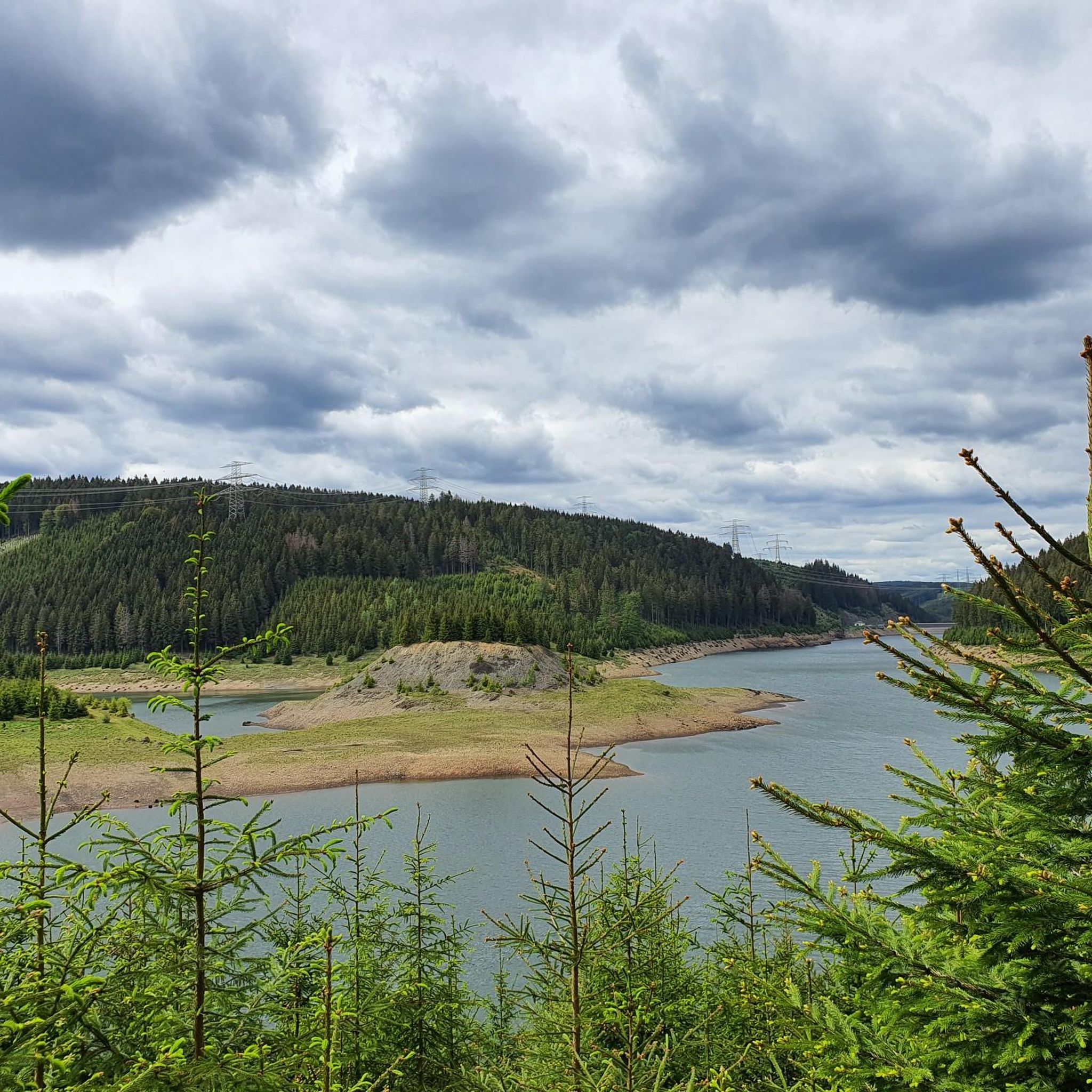
Gravel biking around Goldisthal offers diverse landscapes within the Thuringian Forest. The region is characterized by dense woodlands, rolling hills, and significant elevation changes, providing varied terrain for gravel adventures. Riders can expect a mix of firm forest roads and natural paths, with challenging climbs and scenic descents. The area's topography makes it suitable for different fitness levels.
Best gravel bike trails around Goldisthal
- The most popular gravel bike trail is Höllteich – Höllteich loop from Masserberg, a 39.5…
Last updated: October 6, 2026
3.6
(8)
52
riders
63.5km
03:56
830m
830m
Hard gravel ride. Very good fitness required. Mostly paved surfaces. Suitable for all skill levels.
5.0
(3)
22
riders
30.4km
02:05
440m
440m
Moderate gravel ride. Good fitness required. Mostly paved surfaces. Suitable for all skill levels.

3.7
(7)
25
riders
Hard gravel ride. Very good fitness required. You may need to push your bike for some segments of this route.
5.0
(1)
10
riders
18.4km
01:08
180m
180m
Moderate gravel ride. Good fitness required. Mostly paved surfaces. Suitable for all skill levels.
5.0
(1)
15
riders
21.3km
01:21
270m
260m
Moderate gravel ride. Good fitness required. Mostly paved surfaces. Suitable for all skill levels.
Get access to more routes and recommendations from other explorers.
Already have an account?
Our route recommendations are based on thousands of hikes, rides, and runs completed by other people on komoot.
Start today with a free account
Your next adventure awaits.

Other adventures around Goldisthal

Tips from the Community

The metal sculpture in Masserberg is a well-known eye-catcher and landmark directly opposite the Rennsteighaus at the entrance to the Thuringian health resort of Masserberg.
4
0
The Dreiherrenstein on the Hohe Heide is a historical boundary stone on the Rennsteig in the Thuringian Forest. It stands at an altitude of 832 m and marks the historical border point where the territories of Masserberg, Fehrenbach, and Goldisthal meet. The stone was erected in 1846 and bears the inscription "HSM 1846".
6
0

Relaxing for young and old and a joy for children
0
0

Friedrichshöhe is situated on a high plateau in the Thuringian Slate Mountains, north of Eisfeld and southeast of Masserberg on the Rennsteig hiking trail. The village lies amidst mountain meadows, surrounded by forests at an altitude of 800 meters above sea level. It is accessible via a road leading to the B281 federal highway.
11
0

Just before Ilmenau, on the section of the Ilm Cycle Path along the former Langewiesen railway line, this rest area with a covered picnic hut invites you to take a relaxing break. Benches and a table are available here – ideal for a quick snack in the shade before heading into town. A perfect stopover for cyclists and hikers looking to enjoy the last few meters to Ilmenau.
1
0

A very beautiful, natural trail with singletrack sections, but now partially leveled and damaged by forestry work. Still worth a ride, though 👍
0
0

Beautiful cycle path with little traffic
1
0

From the Heidehütte on the Rennsteig, past the mountain hut to the Eisfelder Ausspanne, it's rolling. 🚵👍😉 Great!
3
0
Frequently Asked Questions
How many gravel bike trails are available around Goldisthal?
There are over 15 gravel bike trails around Goldisthal, offering a variety of experiences within the Thuringian Forest. These routes cater to different skill levels, with a good mix of moderate and difficult options.
What kind of terrain can I expect on gravel bike trails in Goldisthal?
The terrain around Goldisthal is characterized by dense forests, rolling hills, and significant elevation changes. You can expect a mix of firm forest roads and natural paths, providing a dynamic riding experience with challenging climbs and scenic descents. The region is part of the Thuringian Forest, known for its extensive network of gravel-friendly routes.
Are there any natural landmarks or viewpoints along the gravel routes in Goldisthal?
Yes, Goldisthal's gravel routes offer access to several natural landmarks and scenic viewpoints. You might encounter features like the Werra Spring Fehrenbach or the impressive Fellberg. The region also features the Goldisthal Pumped Storage Station, which often has scenic access roads and viewpoints.
What natural water features can I explore near Goldisthal while gravel biking?
The Goldisthal area is rich in natural water features. You can find several lakes and reservoirs that make for beautiful cycling backdrops, such as the Scheibe-Alsbach Reservoir, Ochsenbacher Pond, and Höllteich. These often provide tranquil routes along their shores.
When is the best time of year for gravel biking in Goldisthal?
The Thuringian Forest, where Goldisthal is located, is beautiful throughout the warmer months. Spring and autumn offer pleasant temperatures and vibrant scenery, while summer provides longer daylight hours. Winter can be challenging due to snow and ice, but some routes might be accessible depending on conditions.
Are there family-friendly gravel biking options in Goldisthal?
While many routes in Goldisthal feature significant elevation changes, there are moderate options that active families might enjoy. For example, the Werra Spring Fehrenbach – Werra Spring Hut loop from Heubach is a moderate 30.1 km path that offers a mix of forest paths and open sections.
Can I bring my dog on gravel bike trails in Goldisthal?
Generally, dogs are welcome on most forest roads and natural paths in the Thuringian Forest, provided they are kept under control, especially around wildlife. Always ensure your dog is fit enough for the distance and terrain, and carry enough water for both of you. Check local signage for any specific restrictions.
What are the options for parking or public transport access to the trails?
Specific parking areas are often available at trailheads or near popular starting points in Goldisthal and surrounding villages. For public transport, regional bus services connect some of the smaller towns and villages in the Thuringian Forest, though access directly to all trailheads might require some planning. It's advisable to check local transport schedules in advance.
Are there circular gravel bike routes available in Goldisthal?
Yes, many of the gravel bike routes around Goldisthal are designed as loops, allowing you to start and end at the same point. Examples include the challenging Höllteich – Höllteich loop from Masserberg and the scenic Schwarzburg Castle loop from Altenfeld.
What do other gravel bikers say about the trails in Goldisthal?
The gravel biking routes in Goldisthal are highly rated by the komoot community, with an average score of 4.5 stars from over 20 reviews. More than 170 gravel bikers have explored the varied terrain, often praising the challenging climbs, scenic descents, and the immersive experience of riding through the dense Thuringian Forest.
Are there any easier gravel routes for beginners in the Goldisthal area?
While Goldisthal is known for its challenging terrain, there are several moderate routes suitable for beginners or those looking for a less strenuous ride. For instance, the Werra Spring Fehrenbach – Werra Spring Hut loop from Friedrichshöhe is a moderate 18 km path with less elevation gain, offering a good introduction to gravel biking in the region.
What about more challenging gravel routes for experienced riders?
Experienced gravel bikers will find plenty of challenging routes around Goldisthal. The region features 9 difficult trails, including the demanding Höllteich – Höllteich loop from Masserberg, which covers 63.6 km with significant elevation changes, and the extensive Schwarzburg Castle loop from Altenfeld, a 75.9 km trail through the Thuringian Forest.
Are there places to eat or stay near the gravel trails in Goldisthal?
Goldisthal and the surrounding villages in the Thuringian Forest offer various options for accommodation, from guesthouses to hotels. You'll also find local cafes and pubs where you can refuel after your ride, often serving traditional Thuringian cuisine. It's a good idea to check availability and opening hours, especially in smaller communities.
Most popular attractions around Goldisthal

Get inspired with the komoot mobile app


Explore more
Browse the best Gravel rides in other regions.
