The best gravel rides around Katzenbach
4.6
(15)
61
riders
15
rides
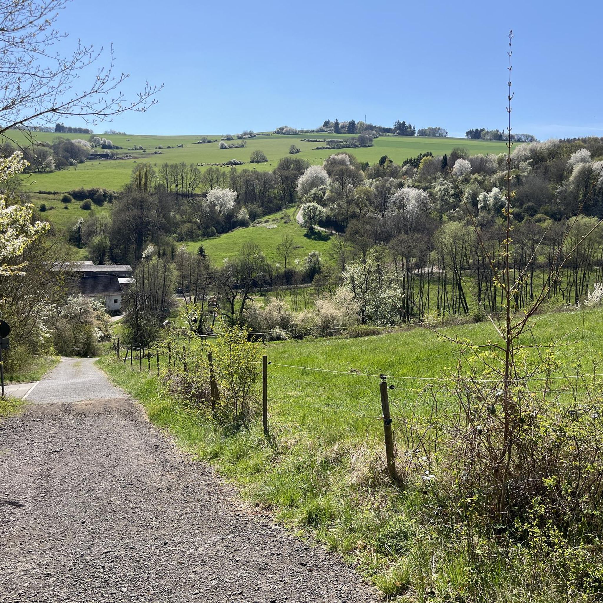
Gravel biking around Katzenbach offers a diverse landscape characterized by rolling hills, dense woodlands, and scenic vineyards. The region features varied terrain, including forest tracks, open vineyard routes, and paths near ponds. Elevations range from gentle climbs to significant ascents, particularly around prominent features like the Donnersberg. This area, on the edge of the Palatinate Forest, provides an extensive network of paths suitable for gravel riders.
Best gravel bike trails around Katzenbach
- The most popular gravel bike trail is Wurzelbuche…
Last updated: October 6, 2026
4.6
(5)
14
riders
33.7km
02:07
360m
360m
Moderate gravel ride. Good fitness required. Mostly paved surfaces. Suitable for all skill levels.
9
riders
50.1km
02:57
440m
440m
Moderate gravel ride. Good fitness required. Mostly paved surfaces. Suitable for all skill levels.

5.0
(1)
3
riders
Hard gravel ride. Very good fitness required. Mostly paved surfaces. Suitable for all skill levels.
2
riders
13.7km
01:09
310m
310m
Moderate gravel ride. Good fitness required. Mostly paved surfaces. Suitable for all skill levels.
4.3
(3)
6
riders
26.1km
01:39
300m
300m
Moderate gravel ride. Good fitness required. Mostly paved surfaces. Suitable for all skill levels.
Get access to more routes and recommendations from other explorers.
Already have an account?
Our route recommendations are based on thousands of hikes, rides, and runs completed by other people on komoot.
Start today with a free account
Your next adventure awaits.
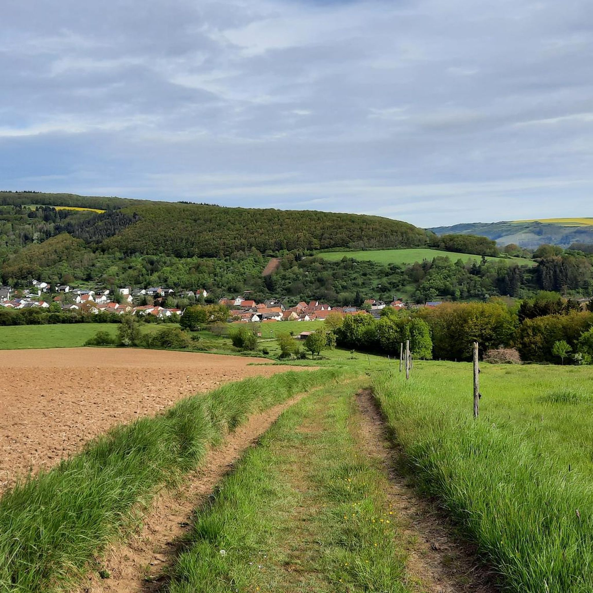
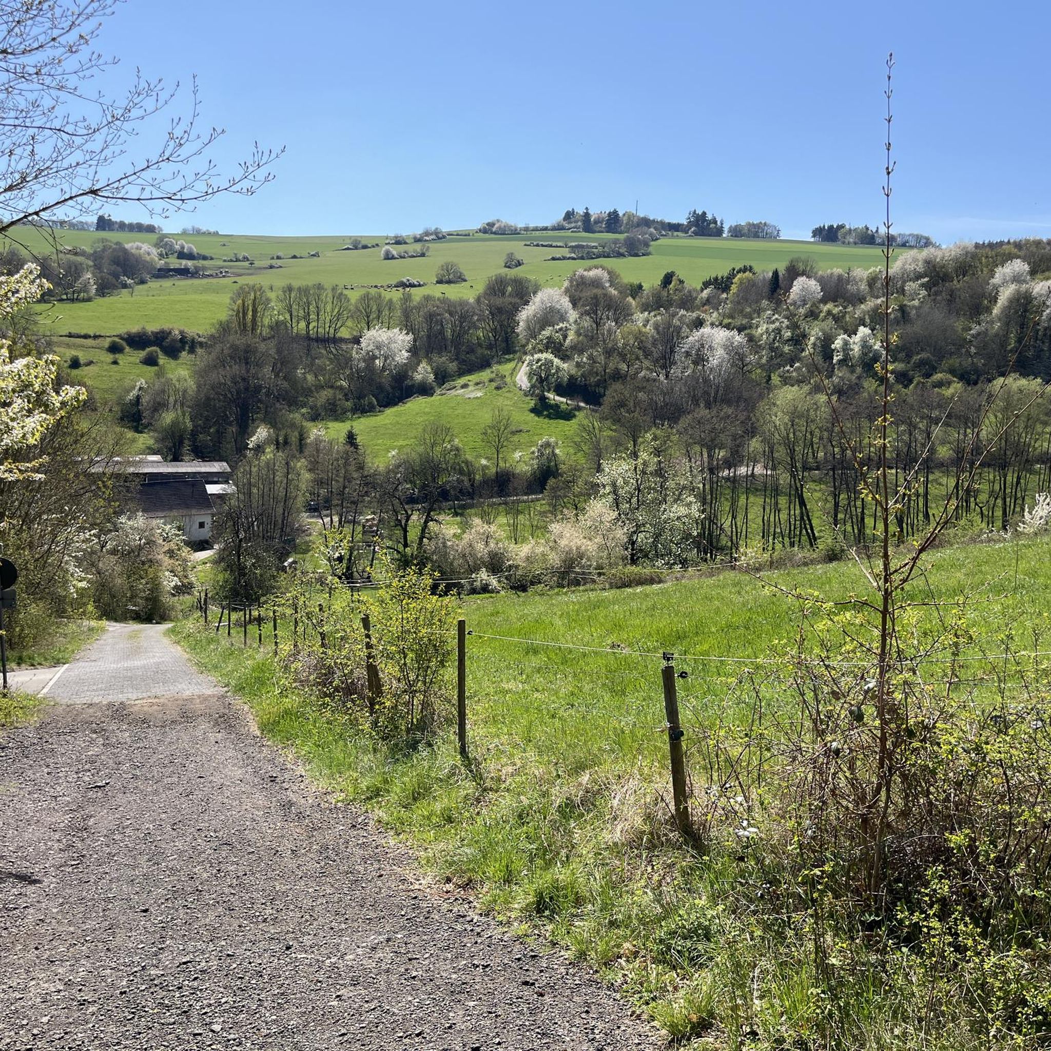
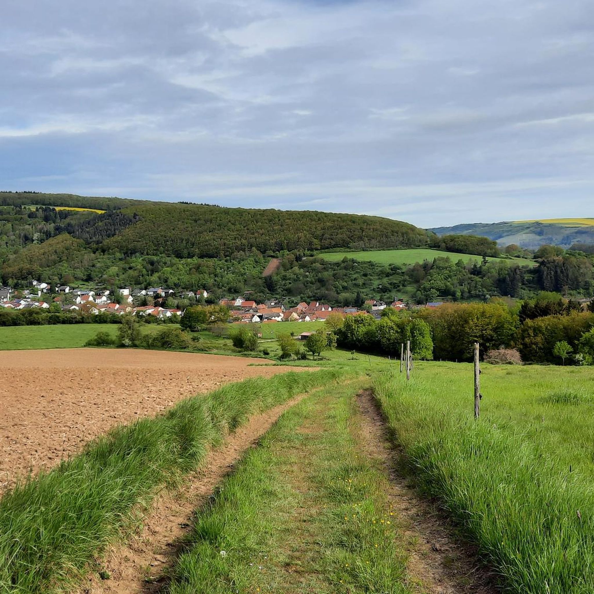
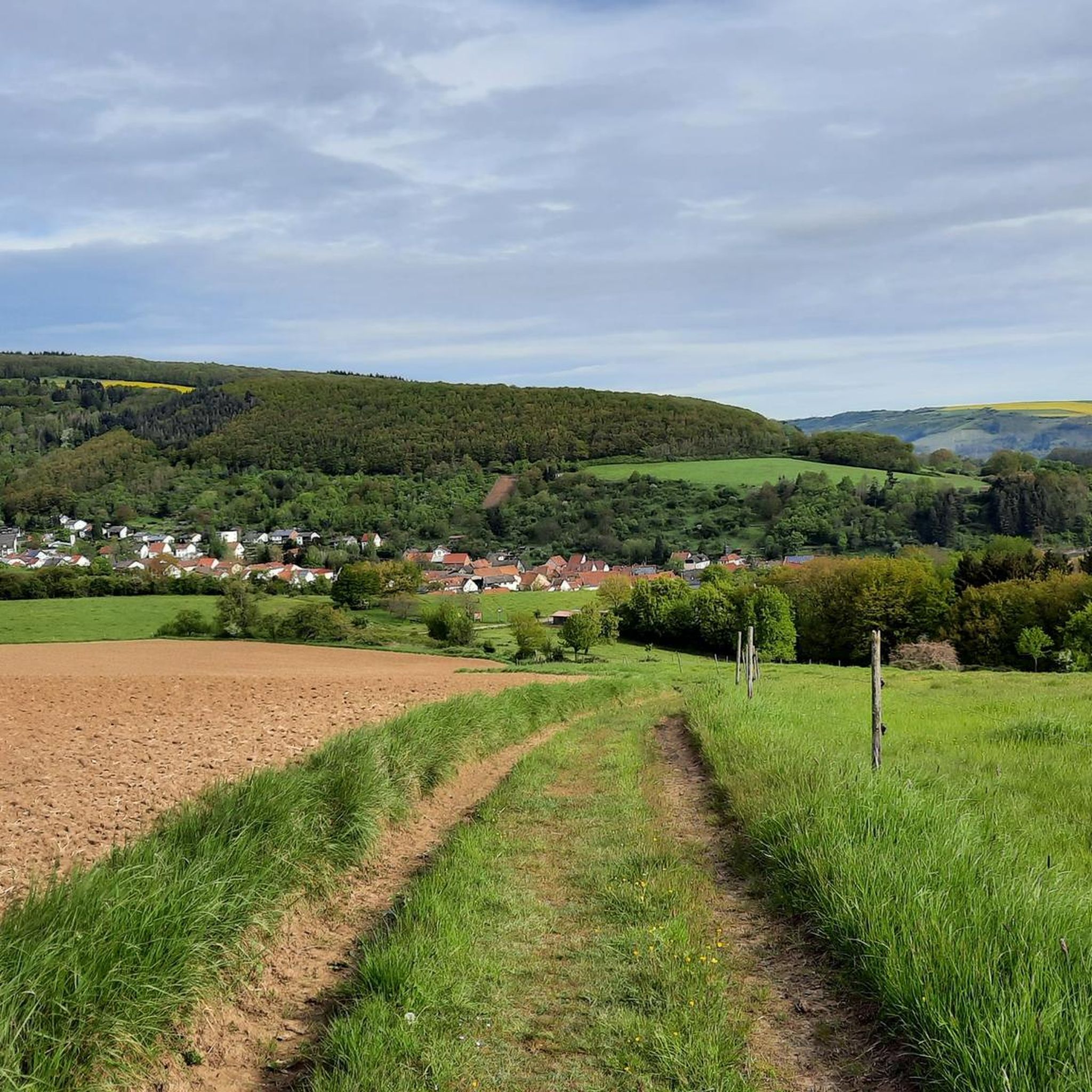
Tips from the Community

The Steigerweiher (also called Oberer Pfrimmweiher) is located in the Donnersberg district in Rhineland-Palatinate near Sippersfeld in the northern Palatinate Forest and is one of several small ponds shortly after the Pfrimm spring.
2
0
The Pfrimmweiher is located in the Donnersberg district in Rhineland-Palatinate, not far from the Pfrimm spring in the Sippersfelder Weiher nature reserve. Southeast of the municipality of Sippersfeld, near the hamlet of Pfrimmerhof in the Palatinate Forest Nature Park. The Pfrimmweiher (a small reservoir or pond) is located just a few hundred meters below the captured Pfrimm spring.
2
0
The Retzberghütte is located directly on the idyllic Retzbergweiher in Sippersfeld on the edge of the Palatinate Forest and is a popular destination for hikers and day-trippers. The pond and the hut are located near 67729 Sippersfeld (Donnersbergkreis / northern Palatinate Forest). The serviced hut offers classic Palatinate cuisine (like Saumagen and Leberknödel), homemade cakes, special dishes on Thursdays, and fresh fish variations on Fridays. See: https://www.retzberghuette.de/
2
0

August 2026 The hut is super to reach by bike! And the family cooks great! The cake is also delicious.
1
0

Several beautiful footpaths and cycle paths run through the Eselsbach valley. The shady forest and the babbling brook ensure a relaxing green tour, especially in summer, not far from the city center.
0
0

you automatically drive through when you go to Imsbach
0
0
Frequently Asked Questions
What kind of terrain can I expect on gravel bike trails around Katzenbach?
The Katzenbach region offers a diverse landscape for gravel biking, characterized by rolling hills, dense woodlands, and scenic vineyards. You'll encounter varied terrain, including paths near ponds, along cliffs, and a mix of forest tracks and open vineyard routes. Elevations range from gentle climbs to more significant ascents, particularly around prominent features like the Donnersberg.
Are there any easy gravel bike trails for beginners in Katzenbach?
The gravel biking routes around Katzenbach are generally geared towards experienced riders, with options ranging from moderate to difficult. There are no routes specifically classified as 'easy' in the area. Most trails feature significant elevation changes and varied terrain, making them more suitable for those with some gravel biking experience.
What are some challenging gravel bike routes in the Katzenbach area?
For experienced gravel bikers seeking a challenge, the region offers several demanding routes. One popular option is the Nahe Wine Region Vineyards – View of Rotenfels Cliff loop from Obermoschel, a difficult 32.8-mile (52.8 km) path that winds through picturesque vineyards and provides expansive views. Another challenging ride is the Uhu Trail – Bridge to Altenbaumburg Castle loop from Gerbach, covering 54.7 km with notable climbs.
What is the typical distance and duration for gravel bike trails in Katzenbach?
Gravel bike trails in Katzenbach vary in length and duration. For instance, the Wurzelbuche – Third Sippersfeld Pond loop from Winnweiler is about 20.8 miles (33.5 km) and takes around 2 hours 37 minutes. Longer routes, like the Nahe Wine Region Vineyards – View of Rotenfels Cliff loop from Obermoschel, can be over 32 miles (52 km) and take more than 4 hours to complete.
Are there circular gravel bike routes available in Katzenbach?
Yes, many of the gravel bike routes in Katzenbach are designed as loops, allowing you to start and finish in the same location. Examples include the Hühnerberg Stone Marker – Ludwig Tower, Donnersberg loop from Rockenhausen and the Rockenhausen Castle – Meadow Path loop from Rockenhausen, both offering convenient circular journeys.
What can I see along the gravel bike trails around Katzenbach?
The trails offer views of vineyards, forested hills, and cliffside vistas. You can also explore nearby attractions such as historical sites and natural formations. For example, you might find yourself near the Iron Gate or the White Mine — Visitor Mine. There are also various huts and viewpoints like the Hirtenfels Viewpoint that offer scenic breaks.
Where can I find parking for gravel biking in Katzenbach?
While specific parking areas aren't detailed for each trail, many routes start from towns like Winnweiler, Obermoschel, Rockenhausen, or Gerbach. It's advisable to look for public parking facilities within these starting towns, which typically offer convenient access to the trailheads.
How can I reach the gravel bike trails around Katzenbach by public transport?
The gravel bike trails often begin in or near towns such as Winnweiler, Obermoschel, Rockenhausen, and Gerbach. These towns may have regional bus or train connections. We recommend checking local public transport schedules for connections to these starting points to plan your journey effectively.
What is the best season for gravel biking in Katzenbach?
Given the region's vineyards and forested areas, spring and autumn are generally excellent seasons for gravel biking in Katzenbach. The weather is typically milder, and the changing foliage in autumn or blooming nature in spring provides beautiful scenery. Summer can also be pleasant, though it's wise to start earlier to avoid the midday heat.
Are there any places to eat or drink near the gravel bike trails?
While specific cafes or restaurants directly on the trails are not listed, the routes often pass through or start from towns like Winnweiler, Obermoschel, Rockenhausen, and Gerbach. These towns are likely to offer various dining options where you can refuel before or after your ride.
What do other gravel bikers enjoy most about gravel biking in Katzenbach?
The area is highly rated by the komoot community, with an average score of 4.3 stars from 8 reviews. Reviewers often praise the diverse landscape, including the mix of forest paths, vineyard routes, and scenic views of ponds and cliffs. The challenging nature of many routes also appeals to experienced riders.
Most popular attractions around Katzenbach

Get inspired with the komoot mobile app


Explore more
Browse the best Gravel rides in other regions.
