The best gravel rides around Rieschweiler-Mühlbach
4.6
(17)
85
riders
33
rides
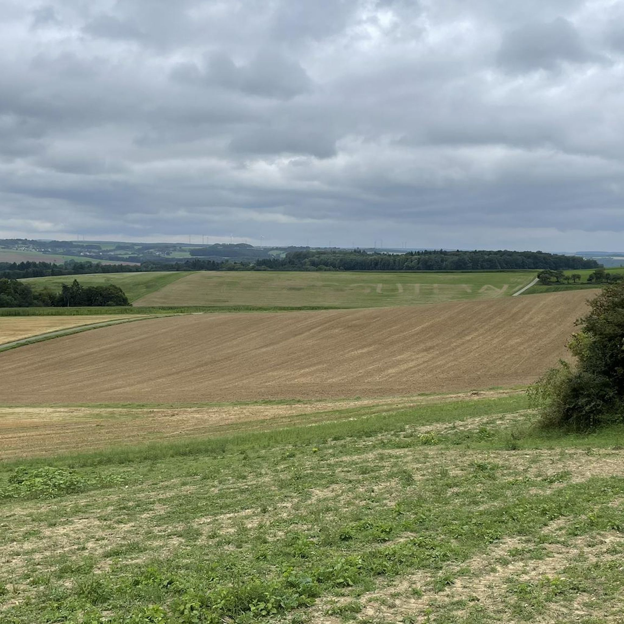
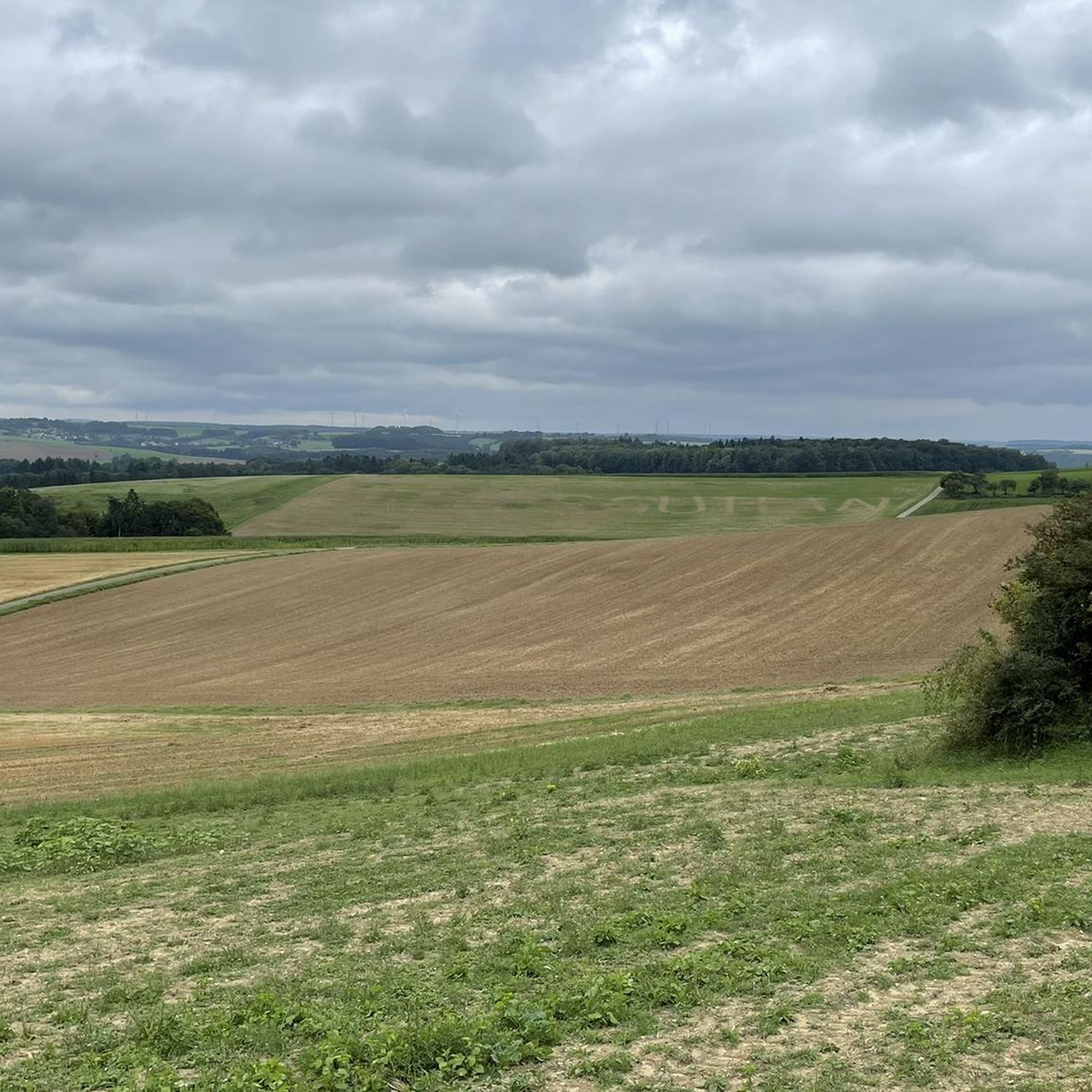
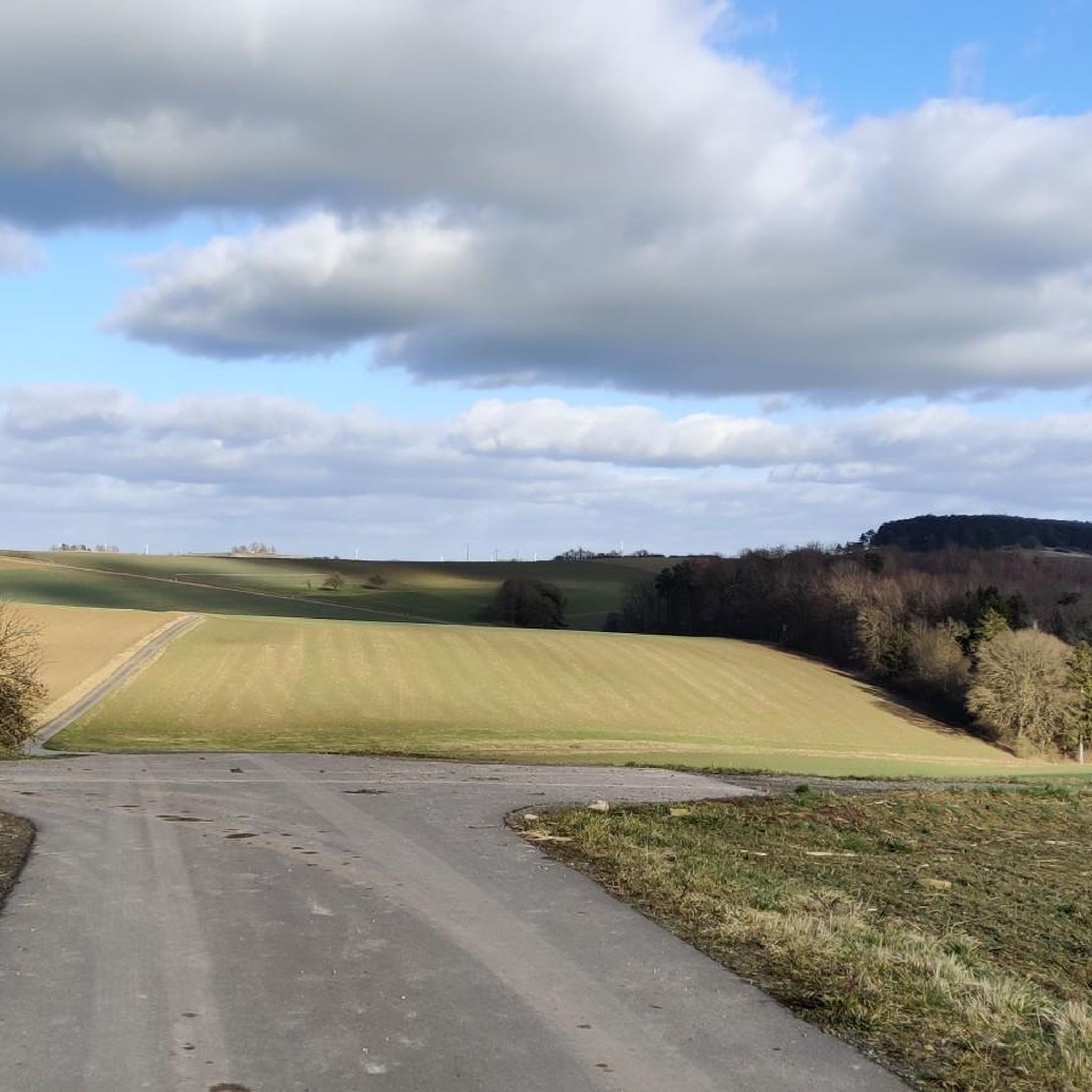
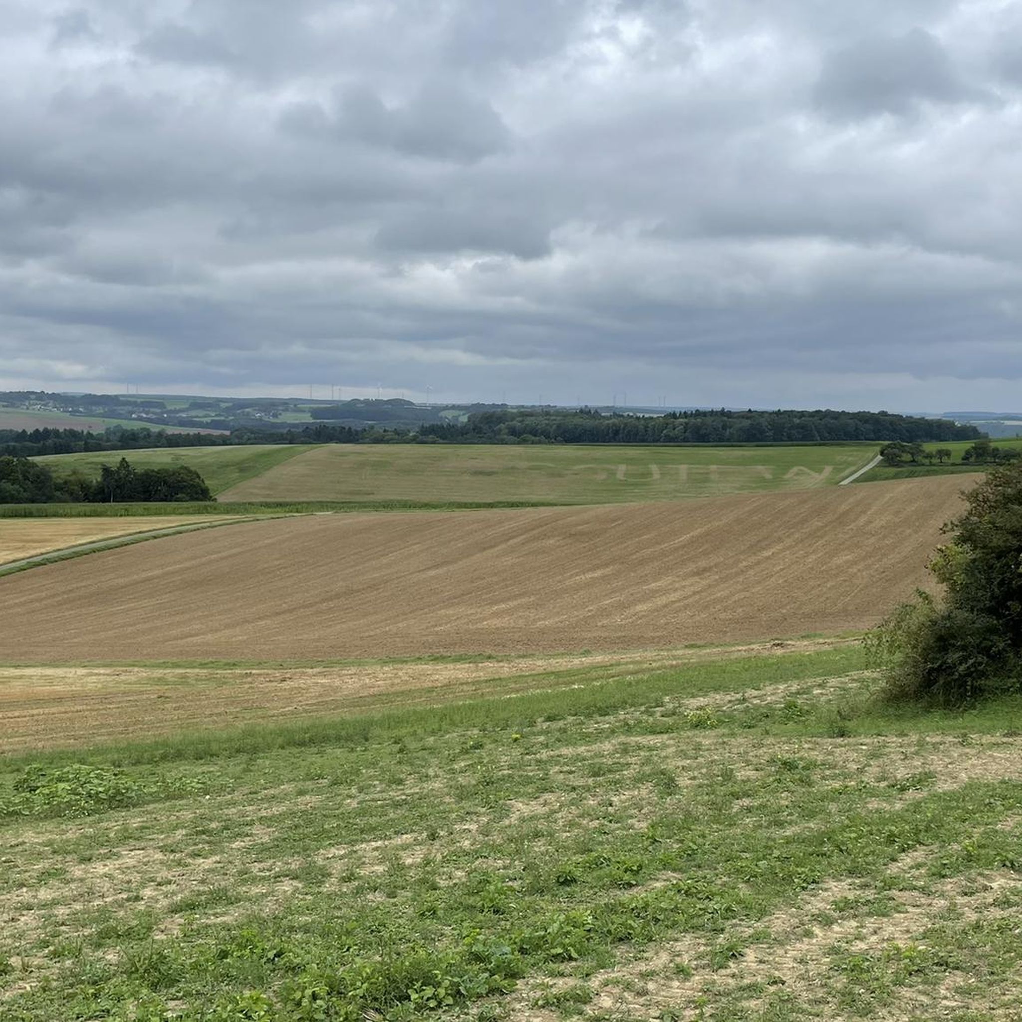
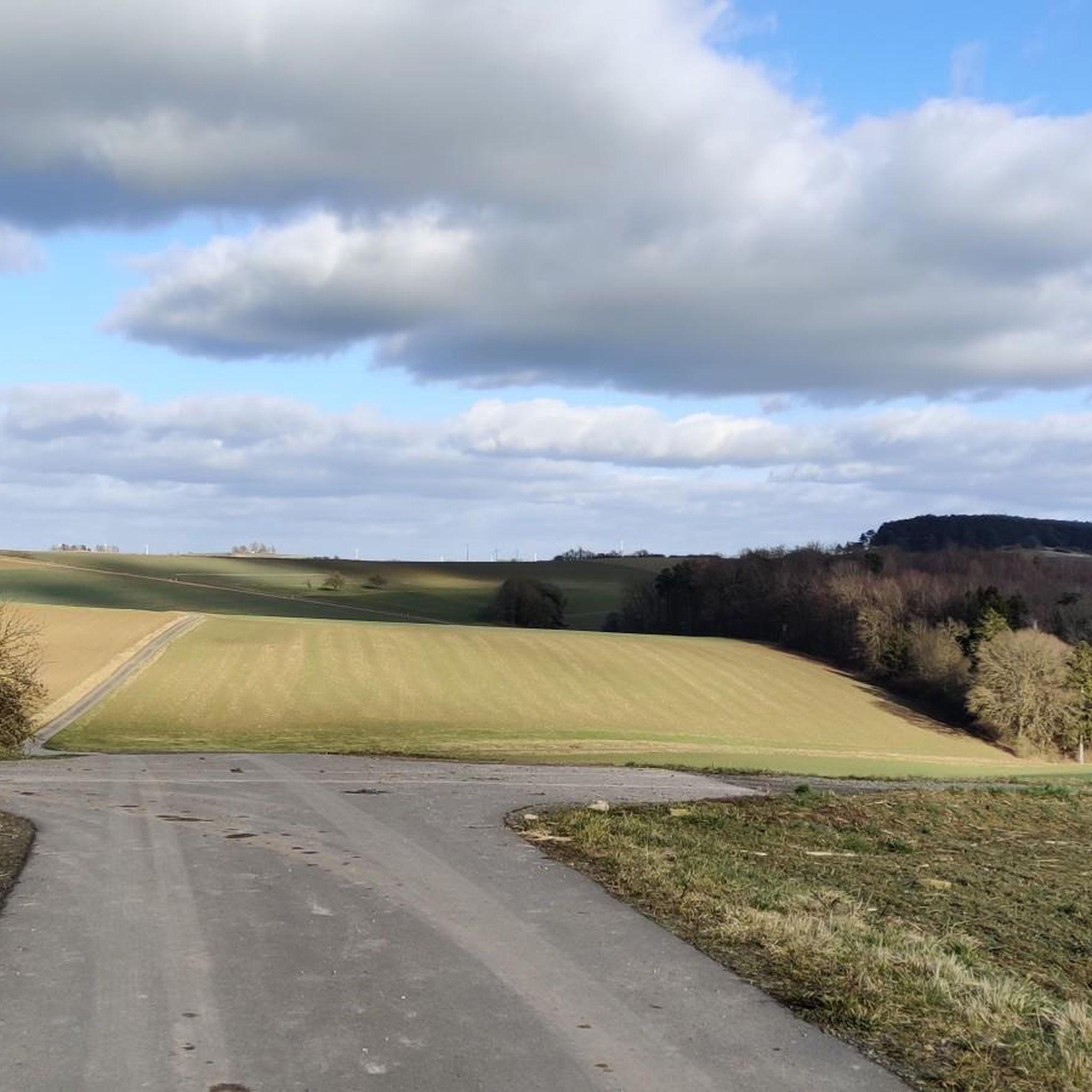
Gravel biking around Rieschweiler-Mühlbach offers diverse terrain within the South West Palatinate region, characterized by extensive forests and green hills. The area provides a network of natural forest paths, field paths, and paved cycle paths, ideal for varied gravel riding experiences. Routes often traverse the scenic Schwarzbach Valley and ascend to the Sickinger Höhe, providing a mix of surfaces and elevations. This landscape ensures a range of options for gravel bikers seeking both challenging and less demanding routes.
Best gravel…
Last updated: May 21, 2026
4.0
(6)
19
riders
33.4km
02:29
420m
420m
Moderate gravel ride. Good fitness required. Mostly paved surfaces. Suitable for all skill levels.
4.0
(6)
18
riders
25.4km
01:51
240m
240m
Moderate gravel ride. Good fitness required. Mostly paved surfaces. Suitable for all skill levels.

Sign up for free
5
riders
69.1km
04:54
820m
820m
Hard gravel ride. Very good fitness required. You may need to push your bike for some segments of this route.
4.0
(1)
12
riders
44.7km
02:38
440m
450m
Moderate gravel ride. Good fitness required. Mostly paved surfaces. Suitable for all skill levels.
5.0
(1)
3
riders
29.1km
02:06
480m
480m
Hard gravel ride. Very good fitness required. Mostly paved surfaces. Suitable for all skill levels.
Get access to more routes and recommendations from other explorers.
Sign up for free
Already have an account?
Our route recommendations are based on thousands of hikes, rides, and runs completed by other people on komoot.
Start today with a free account
Your next adventure awaits.
Login or Signup
Tips from the Community

Very beautiful and quiet valley with water buffalo, when they show themselves 😉
0
0

A lovely witch carved 🫶, really nice
0
0


A much larger photo gallery with further pictures of this beautifully situated pond has been uploaded by hikers at the Highlight (corresponding to this sport). Their pictures of the Étang de Waldeck can be found via the following link =>> https://www.komoot.com/de-de/highlight/276055
0
0


lots of frogs - there is movement on the surface everywhere in the pond
0
0

Magnificent baroque building, today the seat of the Higher Regional Court.
8
0
Frequently Asked Questions
How many gravel bike trails are available around Rieschweiler-Mühlbach?
There are over 60 gravel bike routes in the Rieschweiler-Mühlbach area, offering a wide range of options for different skill levels. These routes are highly rated by the komoot community, with an average score of 4.5 stars.
What kind of terrain can I expect on gravel bike routes in this region?
The terrain around Rieschweiler-Mühlbach is diverse, featuring natural forest paths, field paths, and paved cycle paths. You'll ride through the scenic Palatinate Forest, traverse the Schwarzbach Valley, and encounter green hills, providing a varied and engaging experience for gravel bikers.
Are there gravel bike routes suitable for beginners or families?
While many routes are moderate to difficult, the region's mix of forest and field paths includes sections that are less challenging. Routes through the Schwarzbach Valley often feature a blend of paved and natural surfaces, which can be suitable for those looking for a more relaxed ride. We recommend checking the difficulty grade and elevation profile of individual tours to find the best fit for your group.
What natural features or landmarks can I see along the gravel bike trails?
You can explore various natural and historical points of interest. The region is known for its unique geological formations like the 'Obere Bärenhöhle' (Upper Bear Cave) and the 'Felsentor am Felsenwald-Premiumweg' (Rock Arch). You might also pass by beautiful lakes such as the West Bank of the Eisweiher or Swan Ponds and Plunge Pool, and even historical sites like the Merburg Castle Ruins at the Malafels.
Are there any circular gravel bike routes in the area?
Yes, many of the gravel bike routes around Rieschweiler-Mühlbach are designed as loops, allowing you to start and end at the same point. For example, the Blümelstal Valley – Blümelsbach Valley loop from Bottenbach is a popular circular option.
What is the typical duration for a gravel bike tour here?
Tour durations vary significantly based on distance and difficulty. For instance, a moderate route like the Blümelstal Valley – Blümelsbach Valley loop from Pirmasens Hbf typically takes around 2 hours and 10 minutes to complete. Longer, more challenging tours, such as the Kneispermühle Beer Garden – Kneispermühle loop from Pirmasens Hbf, can take over 4 hours.
Are there routes with significant elevation gain for a more challenging ride?
Absolutely. The region, particularly routes ascending to the Sickinger Höhe, offers considerable elevation changes. For example, the Kneispermühle Beer Garden – Kneispermühle loop from Pirmasens Hbf features an elevation gain of over 670 meters, providing a challenging workout amidst scenic views.
Can I access the gravel bike trails using public transport?
Yes, some routes are accessible via public transport. For example, the Blümelstal Valley – Blümelsbach Valley loop and the Kneispermühle Beer Garden – Kneispermühle loop both start from Pirmasens Hbf, which is the main train station in Pirmasens, offering convenient access.
What do other gravel bikers enjoy most about riding in Rieschweiler-Mühlbach?
The area is highly rated by the komoot community, with an average score of 4.5 stars from over 20 reviews. Riders often praise the diverse terrain, the extensive network of natural forest and field paths, and the scenic beauty of the Palatinate Forest and Schwarzbach Valley.
Are there any longer, more demanding gravel bike routes for experienced riders?
Yes, for experienced riders seeking a longer challenge, routes like the Blümelstal Valley – Schwarzbach River loop from Pirmasens Nord cover nearly 70 kilometers and involve significant elevation changes, offering a demanding and rewarding experience through varied landscapes.
Are there any routes that pass by castles or historical sites?
Yes, the region is rich in history. You can find routes that lead past historical landmarks such as the Ruins of Steinenschloss Castle or the Fasanerie Country Manor. These add a cultural dimension to your gravel biking adventure.
Most popular routes around Rieschweiler-Mühlbach
Most popular attractions around Rieschweiler-Mühlbach

Get inspired with the komoot mobile app


Explore more
Browse the best Gravel rides in other regions.
