The best walks and hikes around Jerxheim
4.7
(1741)
5,843
hikers
22
hikes
Hiking around Jerxheim offers access to varied terrain within Lower Saxony, Germany, primarily centered around the Heeseberg and the Elm-Lappwald Nature Park. The landscape features forested hill ranges, agriculturally used loess depressions, and unique geological formations such as limestone quarries. This region provides a network of hiking trails that traverse semi-arid grasslands, historical vineyards, and diverse ecosystems.
Best hiking trails around Jerxheim
- The most popular hiking route is Heeseberg Tower – Rogenstein Quarry loop from Jerxheim, a 2.3 miles…
Last updated: July 10, 2026
4.7
(30)
85
hikers
4.09km
01:09
80m
80m
Easy hike. Great for any fitness level. Easily-accessible paths. Suitable for all skill levels.
4.8
(4)
17
hikers
7.74km
02:06
100m
100m
Moderate hike. Good fitness required. Easily-accessible paths. Suitable for all skill levels.

Sign up for free
2.0
(8)
18
hikers
7.78km
02:02
50m
50m
Moderate hike. Good fitness required. Easily-accessible paths. Suitable for all skill levels.
4.5
(2)
7
hikers
3.42km
00:56
50m
50m
Easy hike. Great for any fitness level. Easily-accessible paths. Suitable for all skill levels.
4
hikers
Moderate hike. Good fitness required. Easily-accessible paths. Suitable for all skill levels.
Get access to more routes and recommendations from other explorers.
Sign up for free
Already have an account?
Our route recommendations are based on thousands of hikes, rides, and runs completed by other people on komoot.
Start today with a free account
Your next adventure awaits.
Login or Signup
Tips from the Community

The Heeseberg in general is worth a visit.
2
1
There are some benches in the area that invite you to linger.
3
1

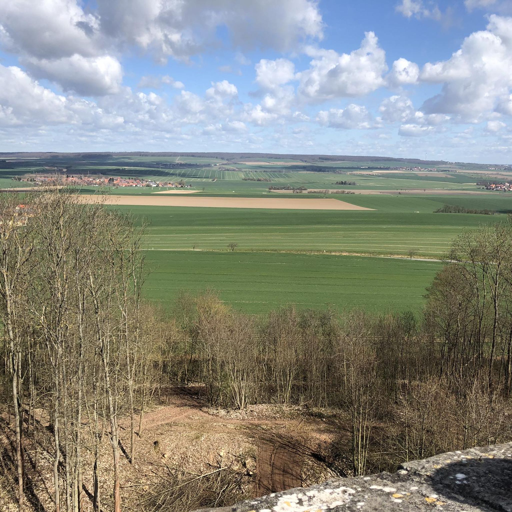
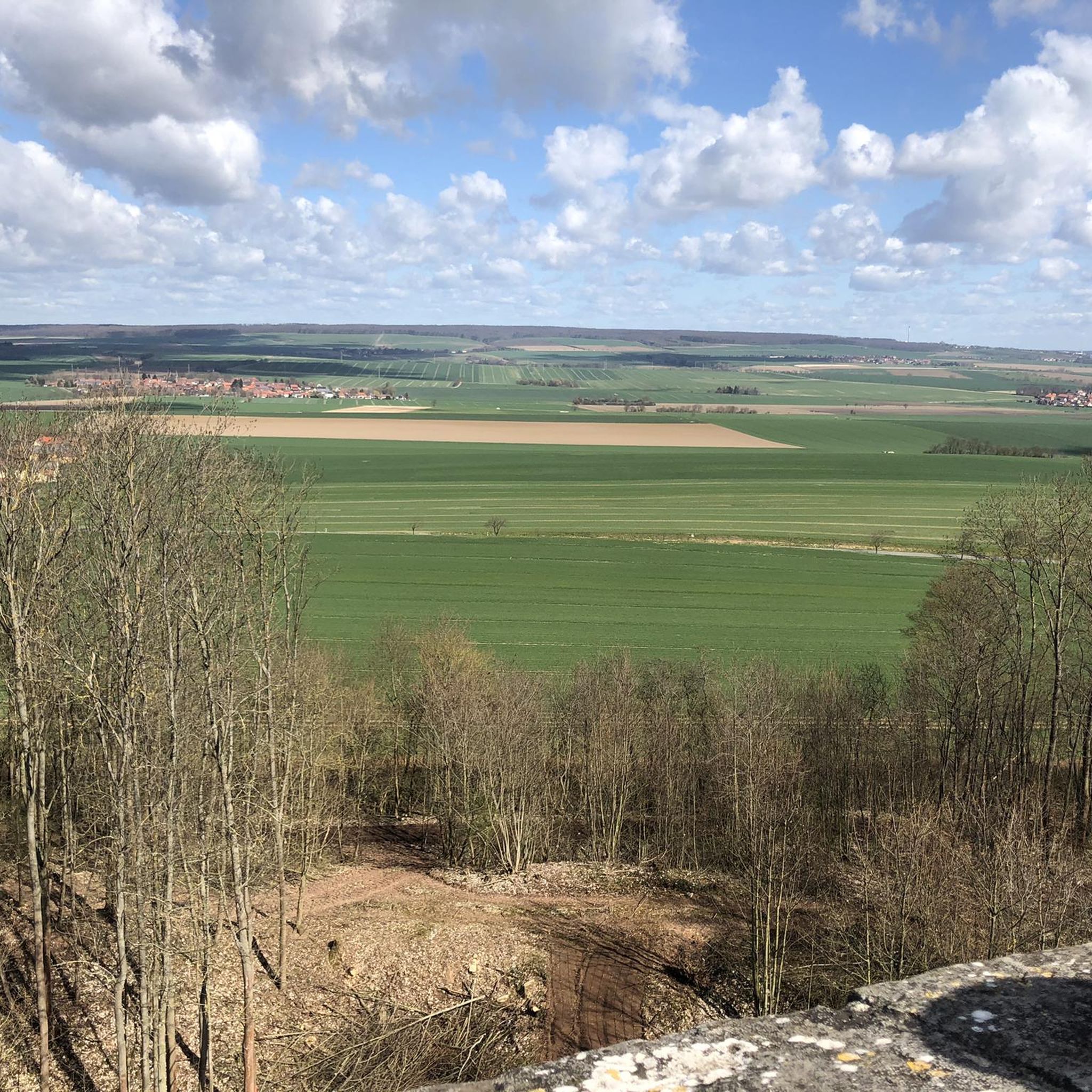
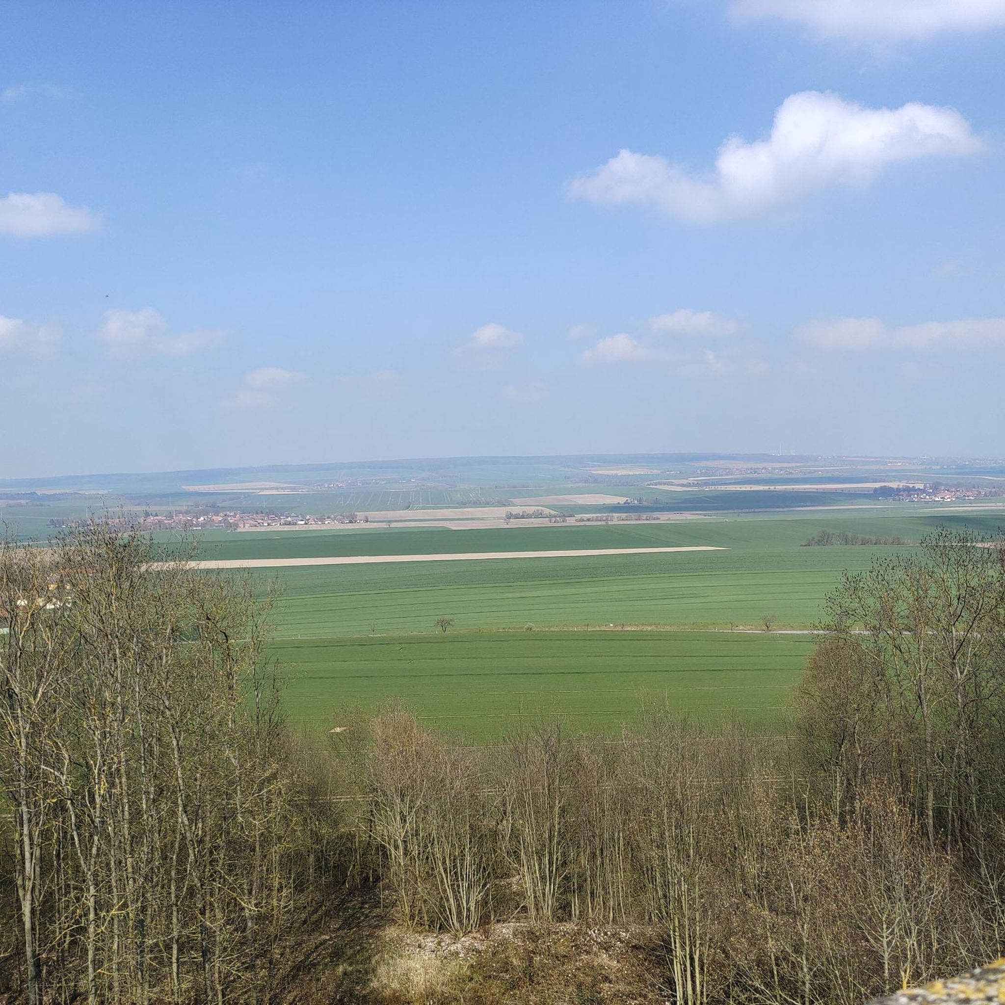
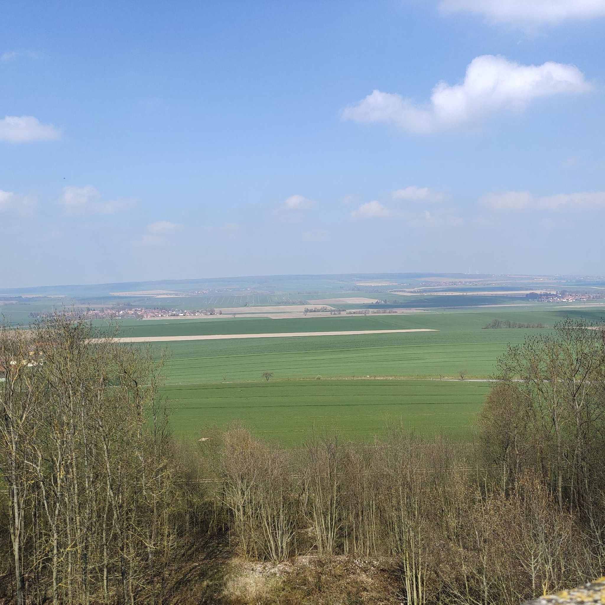
A very beautiful tower on the Heeseberg in a good location between the Elm and Harz. When visibility is good 👀 the Brocken in the Harz is clearly visible!
9
0
This rock face, exposed by stone cultivation, reveals many different colors depending on the light. Here you can also clearly see the many layers.
9
1

A section of a 3.5-kilometer-long geology and nature discovery trail runs through part of the nature reserve. The discovery trail leads past, among other things, exposed red sandstone, a site where ice-age debris was found, and a dry grassland. Just outside the nature reserve in the eastern part of the Heeseberg there is a viewing tower from which you can enjoy a panoramic view, as well as a restaurant and a car park. (Source: Wikipedia)
0
1
The Heeseberg is the type locality of the worldwide occurring stromatolites (calcareous mats formed by cyanobacteria). They were first described by Ernst Kalkowsky in 1908. (Source: Wikipedia)
0
3
The Harz - Braunschweiger Land - Ostfalen Geopark is a UNESCO cultural and natural heritage site in the three German states of Lower Saxony, Saxony-Anhalt and Thuringia, as a UNESCO Global Geopark. In an area of around 100 × 120 kilometers, the Harz - Braunschweiger Land - Ostfalen Geopark includes nature parks and other nature conservation areas that identify the Harz, the Braunschweiger Land and Ostfalen with Elm and Drömling as a destination for nature-based tourism. Within the Harz - Braunschweiger Land - Ostfalen Geopark, there is a natural change from the Geest lowlands of the Aller lowlands to the richly structured Eastphalian hills and the Harz low mountain range. (Source: Wikipedia)
0
2
The Heeseberg is a 200 m above sea level elevation in the Heeseberg collective municipality in the Helmstedt district (Lower Saxony). The climate is warm and dry and, together with the good soil, offers good conditions for agriculture. The mountain was therefore used for agriculture from an early stage. There are therefore only small forest areas in the eastern, southern and outer northwestern areas of the Heeseberg. (Source: Wikipedia)
0
2
Frequently Asked Questions
How many hiking trails are available around Jerxheim?
There are over 20 hiking routes around Jerxheim, catering to various skill levels. You'll find 12 easy trails, 9 moderate options, and 1 more challenging hike, ensuring there's something for everyone.
What kind of terrain can I expect on hikes near Jerxheim?
Hiking around Jerxheim offers diverse terrain, primarily centered on the Heeseberg and within the Elm-Lappwald Nature Park. You'll encounter forested hill ranges, agriculturally used loess depressions, semi-arid grasslands, and historical vineyards. The area is also known for unique geological formations, including limestone quarries.
Are there any easy, family-friendly hikes in Jerxheim?
Yes, Jerxheim offers several easy routes suitable for families. An excellent option is the Hiking loop from Jerxheim, which is about 3.4 km long and takes less than an hour. The Heeseberg Tower – Rogenstein Quarry loop from Jerxheim is also an easy 3.7 km trail, perfect for a shorter outing.
What are the best viewpoints or natural features to see while hiking?
The Heeseberg is a central draw, offering several notable features. The Heeseberg Tower provides impressive panoramic views, extending to the Elm mountain range and even the Harz mountains on clear days. You can also explore the fascinating geological formations at the Rogenstein Quarry and the Lohlberg Limestone Quarry, which expose ancient stromatolites and various rock layers. The Heeseberg Tower – Rogenstein Quarry loop from Jerxheim is a great way to experience these.
Are there circular walks available around Jerxheim?
Yes, many of the trails around Jerxheim are circular, allowing you to start and end at the same point. Popular circular routes include the Heeseberg Tower – Rogenstein Quarry loop from Jerxheim and the Bridge Over the Randgraben loop from Jerxheim. The Elm-Lappwald Nature Park, which Jerxheim is part of, also features an extensive network of signposted circular routes.
What do other hikers enjoy most about hiking in Jerxheim?
The area is highly rated by the komoot community, with an average score of 4.6 stars from over 1100 reviews. Hikers often praise the varied terrain, from the prominent Heeseberg hill and its geological formations to the extensive forested areas of the Elm-Lappwald Nature Park. The well-maintained network of routes, suitable for various ability levels, is also frequently highlighted.
Can I find shelters or places to rest along the trails?
Yes, within the broader area around Jerxheim, particularly in the Elm-Lappwald Nature Park, you can find shelters. Highlights include the Karl-May Valley Shelter and Stamp Station 5, a shelter at a trail junction, and the Shelter at Bödner Teich. For a more substantial stop, the Elmhaus offers restaurant services.
Are there any long-distance hiking options or more challenging routes?
While many routes are easy to moderate, the region does offer longer options. For example, the Grassy Pathway Along the Ditch – Wooden Bridge by the Pink Shed loop from Jerxheim is a moderate 14.4 km trail. The Elm-Lappwald Nature Park, encompassing Jerxheim, boasts over 800 km of trails, including more demanding hikes for those seeking a greater challenge.
What is the geological significance of the Jerxheim area?
Jerxheim is located in a geologically rich area, part of the UNESCO and European Geopark of Harz–Brunswick Land–Eastphalia. The Rogenstein Quarry and Lohlberg Limestone Quarry on the Heeseberg are particularly significant, exposing ancient stromatolites and various colored rock layers that tell the story of the area's geological past. The region is even known as the world's largest 'sea lily graveyard'.
Is Jerxheim a good base for exploring the Elm-Lappwald Nature Park?
Absolutely. Jerxheim serves as an excellent gateway to the extensive Elm-Lappwald Nature Park. This park, covering about 470 square kilometers, offers a vast network of over 800 km of signposted hiking trails through diverse ecosystems, including the largest and most attractive beech forest in North Germany (the Elm), moors, springs, and chalk downs. It's an ideal starting point for exploring the park's natural beauty.
Are there any specific nature trails or discovery paths?
Yes, the Heeseberg features a dedicated Geology and Nature Discovery Trail (Geopfad Heeseberg). This circular hiking trail, approximately 3.7 km long, guides you through historical vineyards, semi-arid grasslands with unique flora like Adonis roses, and sheep pastures. It's an easy trail designed to highlight the area's natural and geological significance.
Most popular routes around Jerxheim
Most popular attractions around Jerxheim

Get inspired with the komoot mobile app


Explore more
Browse the best Hikes in other regions.
