The best gravel rides around Otzweiler
4.5
(8)
26
riders
5
rides
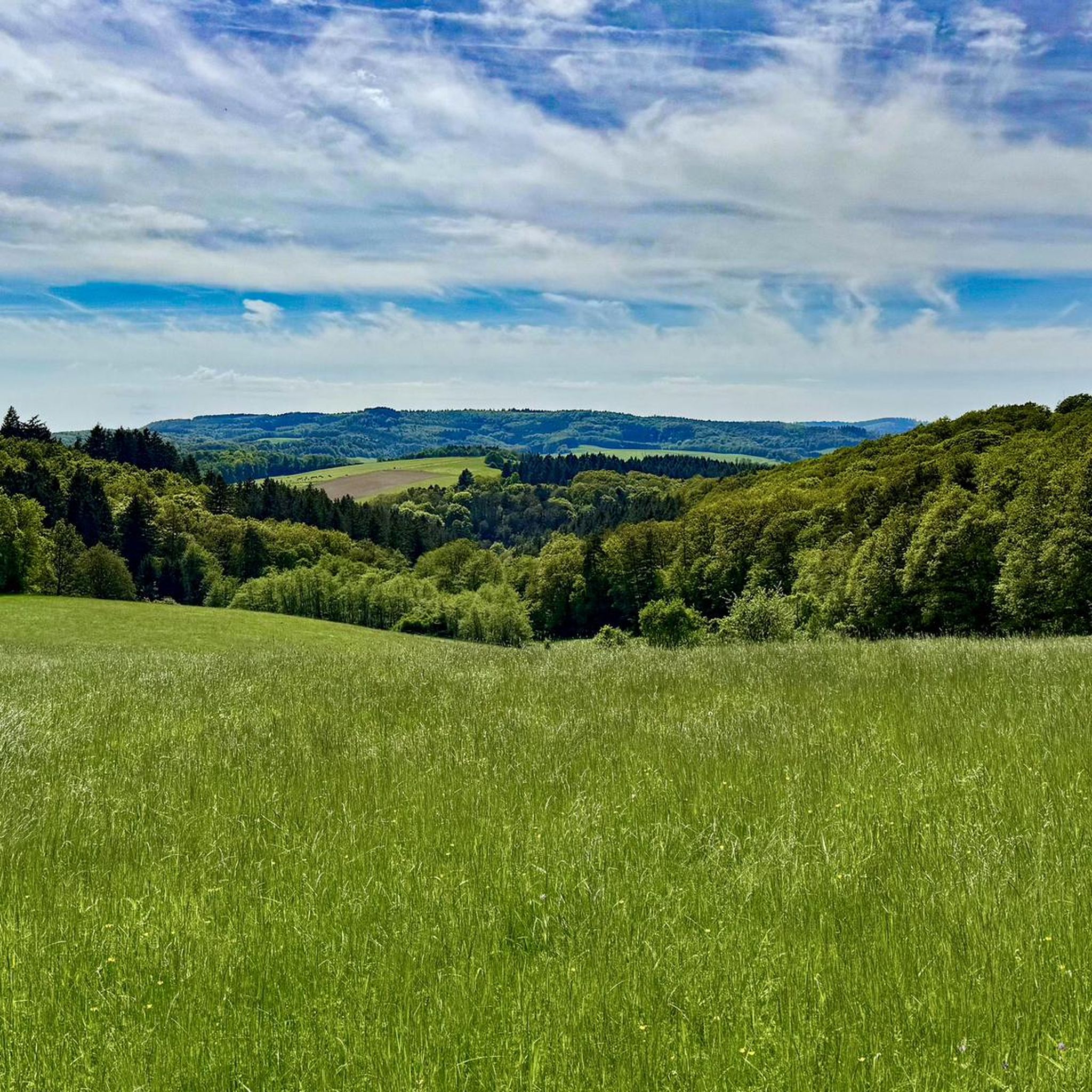
Gravel biking around Otzweiler benefits from its location in the North Palatine Uplands, offering diverse landscapes for off-road cycling. The region is characterized by rolling hills, river valleys such as the Großbach, and extensive forested areas. Proximity to the Hunsrück-Nahe bike region provides access to a network of gravel trails, blending natural beauty with varied terrain. This environment supports routes that include both ascents and descents, alongside stretches through meadows and along waterways.
Best gravel bike trails around Otzweiler
- The…
Last updated: July 30, 2026
4.8
(5)
7
riders
Hard gravel ride. Good fitness required. You may need to push your bike for some segments of this route.
3.0
(1)
6
riders
63.3km
04:03
830m
830m
Hard gravel ride. Very good fitness required. Mostly paved surfaces. Suitable for all skill levels.

Sign up for free
5
riders
Hard gravel ride. Very good fitness required. Mostly paved surfaces. Suitable for all skill levels.
1
riders
80.2km
05:28
1,360m
1,360m
Hard gravel ride. Very good fitness required. Mostly paved surfaces. Suitable for all skill levels.
2
riders
47.9km
03:20
1,000m
1,000m
Hard gravel ride. Very good fitness required. Mostly paved surfaces. Suitable for all skill levels.
Our route recommendations are based on thousands of hikes, rides, and runs completed by other people on komoot.
Start today with a free account
Your next adventure awaits.
Login or Signup
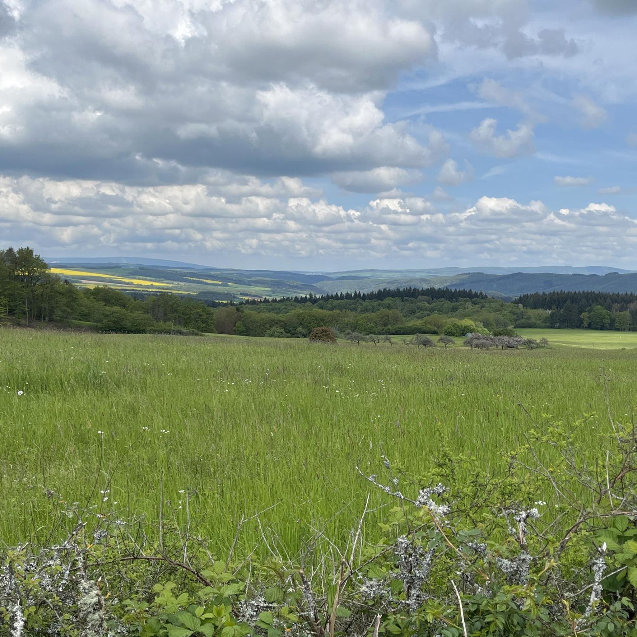
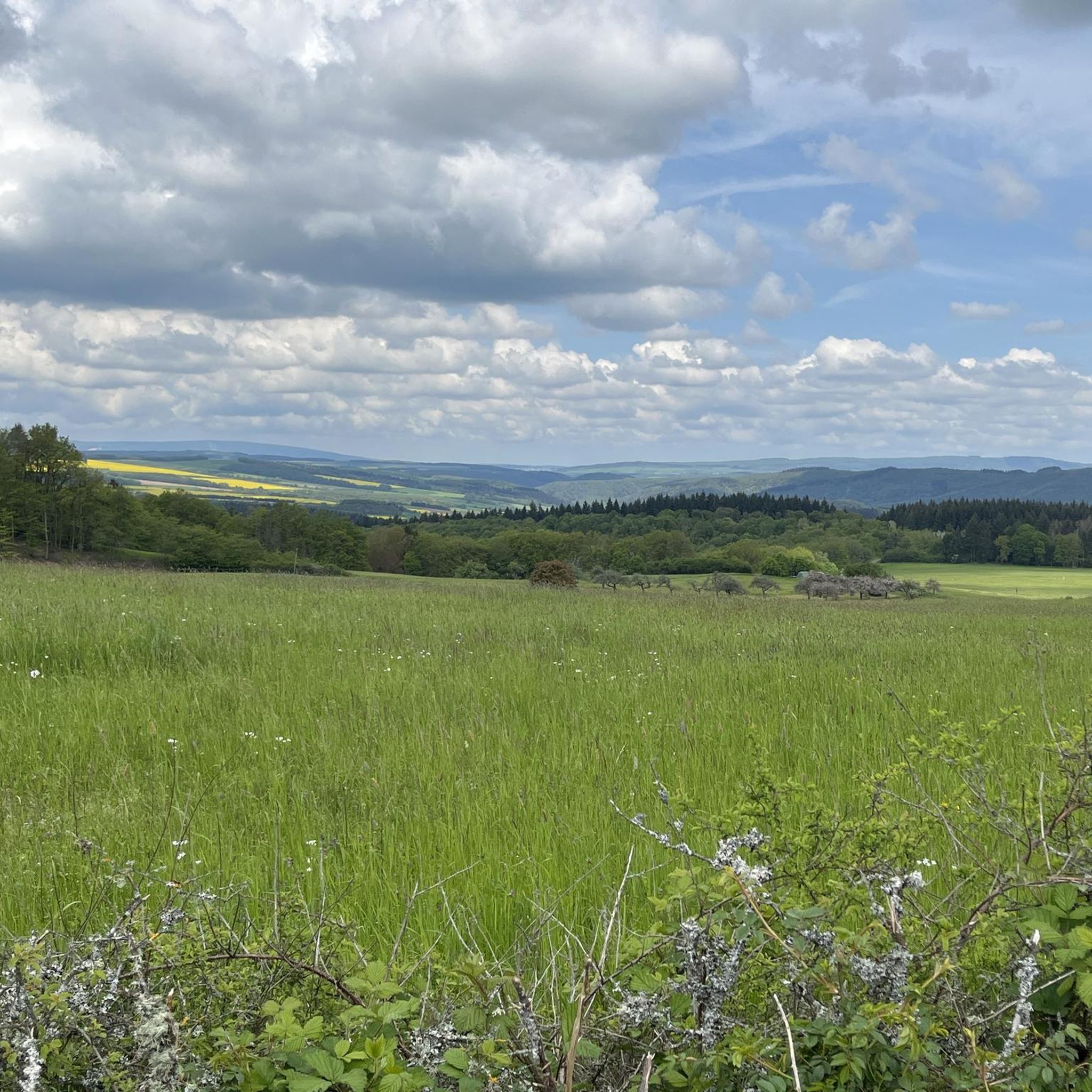
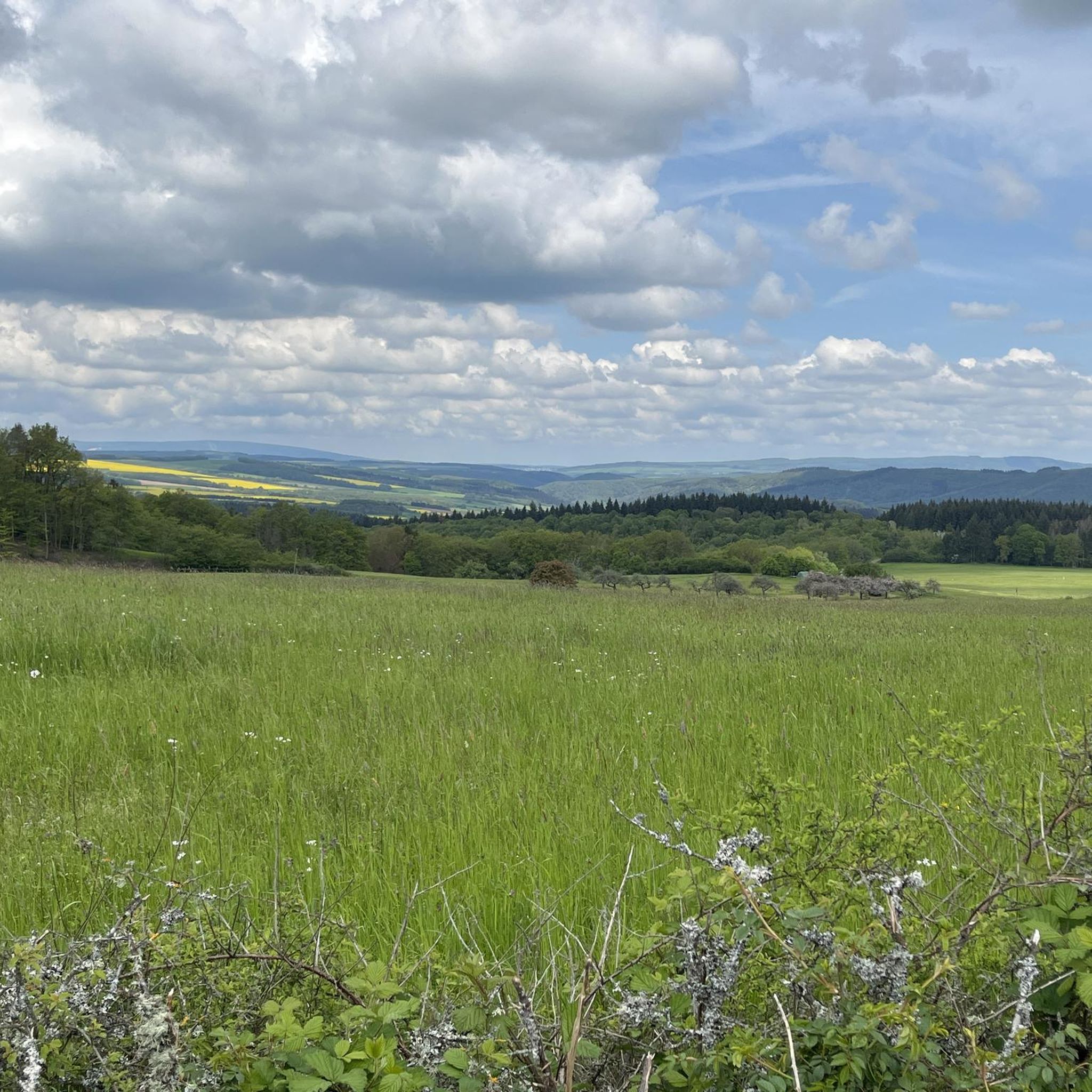
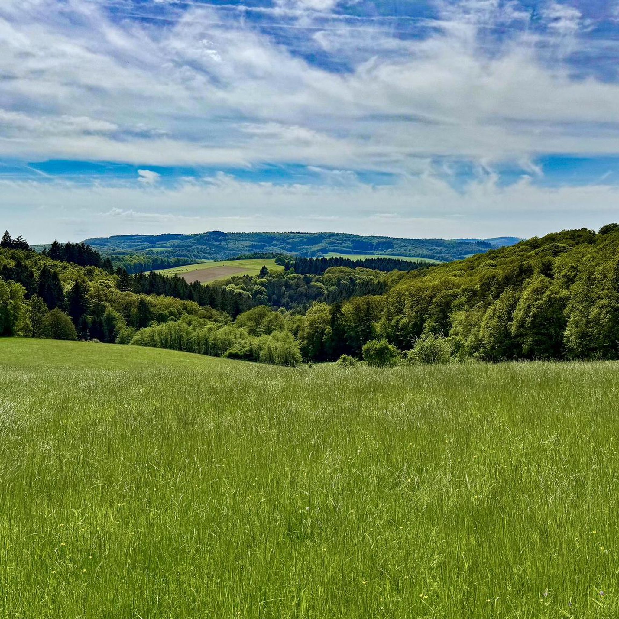
Tips from the Community

When you are in IO, you get to know many different perspectives of the church
0
0
Unfortunately, only visitable by booking
0
0

Very good shots and explanations
0
0
It's very shallow here because there's a car underpass, great for kids too
0
0
Can be ridden super and around the elevations nice
0
0

One of the nicer views.
0
0

Spacious recreational area with a pond, foot bath, and large children's playground, barbecue area, sanitary facilities. Reservation of the area via the local mayor.
0
0
Frequently Asked Questions
How many gravel bike trails are available around Otzweiler?
There are over 10 gravel bike routes documented around Otzweiler on komoot, offering a variety of experiences for cyclists. These routes are highly rated by the komoot community, with an average score of 4.6 stars from over 12 reviews.
What kind of terrain can I expect on gravel bike trails in Otzweiler?
The region around Otzweiler, situated in the North Palatine Uplands, features diverse terrain perfect for gravel biking. You'll encounter rolling hills, river valleys (like the Großbach and Nahe), extensive forested areas, and open meadows. Routes often include both challenging ascents and descents, as well as picturesque stretches along waterways.
Are there any easy gravel bike routes for beginners in Otzweiler?
While many routes in Otzweiler are rated as difficult, there are a couple of moderate options available. These routes still offer a good workout but are less demanding than the most challenging trails in the area. For example, you can explore routes that traverse varied terrain, including forested sections and open uplands, providing a balanced experience.
What are some notable natural features or viewpoints along the gravel bike trails?
Otzweiler's location offers access to scenic natural features. You can expect panoramic views from various points, such as those found on routes like the View from Limbacher Höhe – View of Meckenbach loop from Hochstetten (Nahe). The region is also characterized by gorgeous stream landscapes, forests, and meadows, especially near the Großbach and Nahe rivers.
Are there any circular gravel bike routes in the Otzweiler area?
Yes, many of the gravel bike routes around Otzweiler are designed as loops, allowing you to start and end at the same point. An example is the Eselbrücke Kohlenhütte – Antestal Trail Entrance loop from Fischbach-Weierbach, which takes you through river valleys and forested areas.
What are the best times of year for gravel biking in Otzweiler?
The diverse landscapes of Otzweiler make it suitable for gravel biking across multiple seasons. Spring and autumn offer pleasant temperatures and vibrant scenery with changing foliage. Summer is also great, especially for rides through shaded forest sections. Winter cycling is possible, but conditions can vary, so checking local weather and trail conditions is advisable.
Are there any attractions or points of interest near the gravel bike trails?
Yes, the region offers several points of interest that can complement your ride. You might encounter historic sites like Schloss Dhaun or Schloss Oberstein. For natural attractions, there are various huts and cabins, such as the Schinderhannes Hut and Schinderhannes Oak Natural Monument, or serene lakes like Weiher Hergengefell, which can be found along or near many routes.
What do other gravel bikers say about the trails in Otzweiler?
The gravel biking routes in Otzweiler are highly regarded by the komoot community, holding an average rating of 4.6 out of 5 stars from over 12 reviews. Many of the 50+ komoot users who have explored the area praise the varied terrain, the challenging climbs, and the beautiful natural surroundings, including dense forests and river valleys.
Can I find long-distance gravel cycling routes near Otzweiler?
Absolutely. The region provides options for longer rides, catering to those looking for more extensive adventures. For instance, the Jammereiche – View of Idarkopf loop from Kirn is a challenging 39.2-mile (63.1 km) path that traverses varied terrain, including forested sections and open uplands, making it suitable for a longer day out.
Are there any specific routes that offer views of the Antestal Valley?
Yes, for those interested in scenic views of the Antestal Valley, there is a dedicated route. The View of the Antestal Valley – Antestal Trail Entrance loop from Sienhachenbach is a challenging 42.7 km (26.5 miles) loop that provides excellent vistas of this beautiful valley.
Are there any routes that pass by historical sites like castles?
While not directly on every gravel route, the broader region around Otzweiler is known for its historic sites. You can find routes that pass near or offer views of such landmarks. For example, the Kirn Market Square – Oberstein Castle Pond loop from Kirn is a challenging route that brings you close to historical points of interest like Oberstein Castle.
Most popular attractions around Otzweiler

Get inspired with the komoot mobile app


Explore more
Browse the best Gravel rides in other regions.
