The best gravel rides around Desloch
9
riders
5
rides
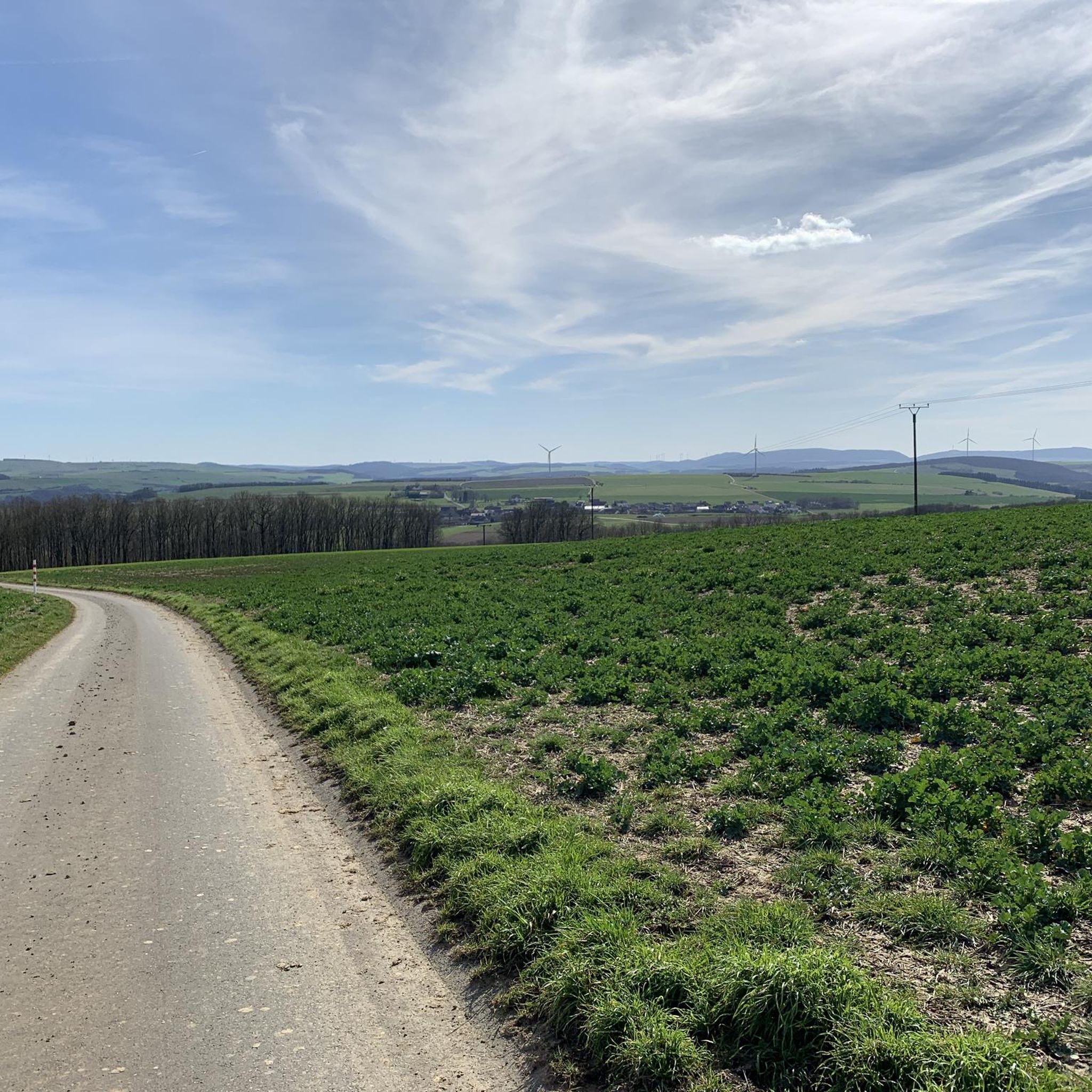
Gravel biking around Desloch offers diverse terrain across the northern edge of the North Palatine Uplands. The region features varied topography, including picturesque vineyards, river valleys along the Nahe and Glan, and significant wooded sections. These natural features provide a mix of ascents, descents, and flatter stretches. Forest roads and unpaved paths are common, offering a range of off-road experiences.
Best gravel bike trails around Desloch
- The most popular gravel bike trail is Hühnerberg Stone Marker – Falkenstein Gorge loop from Waldgrehweiler, a 33.6 miles (54.0 km) trail that takes 3 hours 55 minutes to complete, traversing varied landscapes with significant elevation gain.
- Another top favourite among local gravel bikers is Lauterecken-Grumbach Station – Lauterecken Brewery loop from Lauterecken-Grumbach, a difficult 29.7 miles (47.8 km) path offering over 3,200 feet (1,000 meters) of elevation.
- Local gravel bikers also love the Nahe Cycle Route – Wehrfritzsche Paper Mill loop from Staudernheim, a 31.4 miles (50.6 km) trail leading through the Nahe valley, often completed in about 3 hours 28 minutes.
- Gravel biking around Desloch is defined by vineyard-lined hills, river valleys, and dense woodlands. The network offers options for different ability levels, though many routes present significant challenges.
- The routes in Desloch are highly rated by the komoot community with an average score of 4.5 stars from over 7 reviews. More than 50 gravel bikers have used komoot to explore Desloch's varied terrain.
Last updated: May 21, 2026
1
riders
41.0km
02:49
680m
680m
Hard gravel ride. Very good fitness required. You may need to push your bike for some segments of this route.
1
riders
Hard gravel ride. Very good fitness required. Mostly paved surfaces. Suitable for all skill levels.

Sign up for free
2
riders
47.8km
03:20
1,000m
1,000m
Hard gravel ride. Very good fitness required. Mostly paved surfaces. Suitable for all skill levels.
1
riders
50.6km
03:29
840m
840m
Hard gravel ride. Very good fitness required. Mostly paved surfaces. Suitable for all skill levels.
2
riders
54.0km
03:55
1,130m
1,130m
Hard gravel ride. Very good fitness required. You may need to push your bike for some segments of this route.
Our route recommendations are based on thousands of hikes, rides, and runs completed by other people on komoot.
Start today with a free account
Your next adventure awaits.
Login or Signup
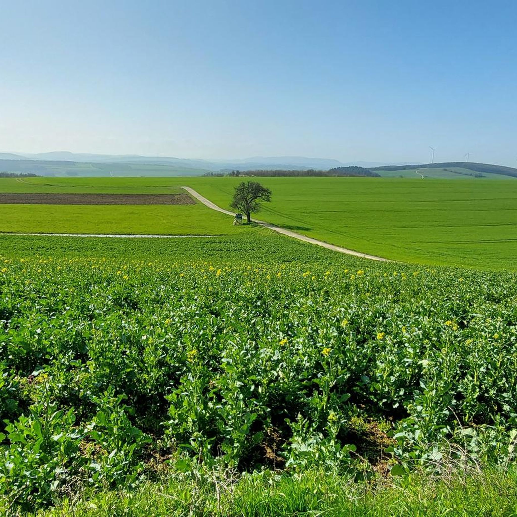
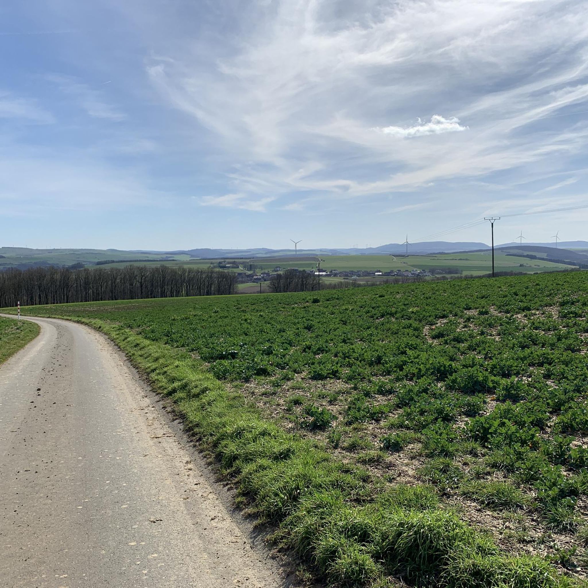
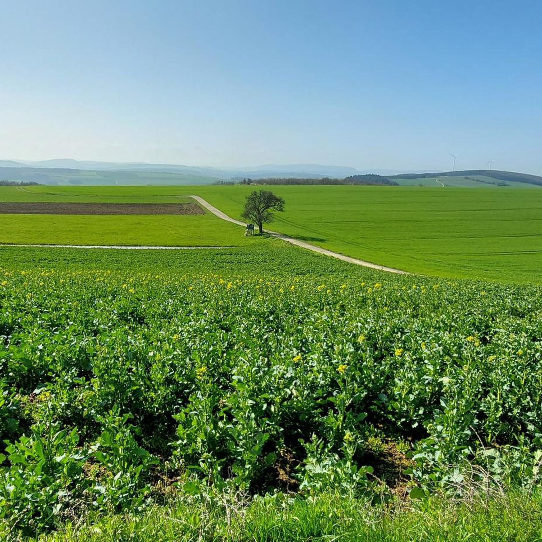
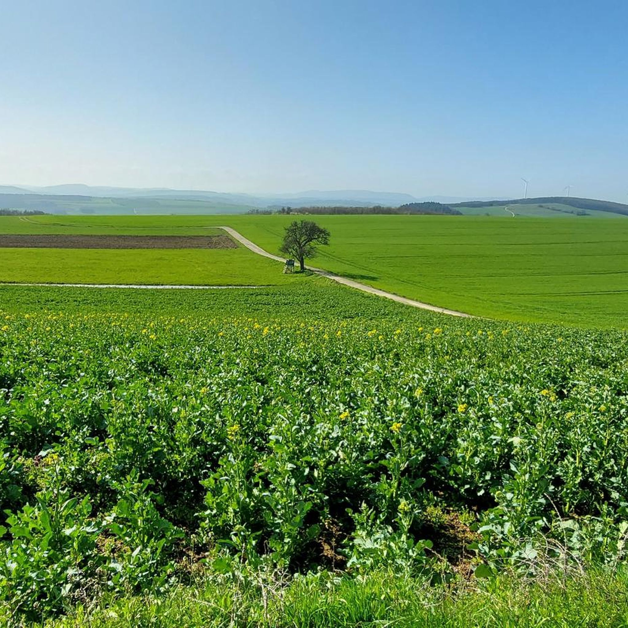
Tips from the Community

beautiful trail to the Donnersberg
0
0


Great view over Katzenbach and the surrounding area!!
0
0

Terminal of the Lautertalbahn from Kaiserslautern main station to here.
2
0

Great view from the Welschberg of Waldböckelheim and the mountain church.
3
0
Great cycle path highly recommended
0
0

Beautiful hillside path directly below the rocks with a great view of Hof Hermannsberg
0
0

The route L 292 Monzingen - dir. Langental, then keep left via Hoxmühle, Kallweilerhof is a scenic highlight with very little traffic,
0
0
Frequently Asked Questions
How many gravel bike trails are available around Desloch?
There are over 15 gravel bike trails around Desloch, offering a variety of experiences. These routes are highly rated by the komoot community, with an average score of 4.5 stars, and have been explored by more than 50 gravel bikers.
What kind of terrain can I expect on gravel bike routes near Desloch?
Gravel biking around Desloch features diverse terrain, including picturesque vineyards, river valleys along the Nahe and Glan, and significant wooded sections. You'll encounter a mix of ascents, descents, and flatter stretches, often on forest roads and unpaved paths, making for varied off-road experiences.
Are there any family-friendly gravel biking options in the Desloch area?
While many routes around Desloch present significant challenges, the region's river valleys, like those along the Nahe, often offer more gentle sections. For family-friendly cycling, consider exploring parts of the Nahe valley, which might include smoother gravel or paved sections suitable for a more relaxed pace. Always check individual route details for difficulty and terrain suitability.
Can I find circular gravel bike routes around Desloch?
Yes, many gravel bike routes in the Desloch area are designed as loops. For example, the Vogelwoog – Seewoog Miesenbach loop from Lohnweiler is a popular circular trail traversing varied landscapes. Another option is the Glan-Blies Cycle Path – Glan Bridge in Wiesweiler loop from Lettweiler, which takes you through the scenic Glan valley.
What are some notable natural attractions to see while gravel biking near Desloch?
The region offers several impressive natural attractions. You can ride through the beautiful Nahe Wine Region Vineyards, or experience routes that offer views of the dramatic Rotenfels cliff, Germany's largest cliff. The area also features charming lakes like the Idyllic Forest Pond and the Biet Pond and Medicinal Herb Garden.
Are there any historical or cultural points of interest along the gravel trails?
Absolutely. You can explore routes that pass by the historic Meisenheim Old Town, known for its enchanting circular routes and impressive views over the Palatinate hills. Other historical highlights include the Historic Lauter Bridge and the Stone Bridge at Rehborn.
What is the best time of year for gravel biking in Desloch?
The varied topography, including forests and river valleys, makes Desloch suitable for gravel biking across multiple seasons. Spring and autumn offer pleasant temperatures and beautiful scenery, especially through the vineyards and wooded areas. During warmer months, the shaded forest routes provide a refreshing experience. Always check local weather patterns before heading out.
Are there any routes that offer panoramic views?
Yes, for those seeking panoramic views, the historic Bismarck Tower in the vicinity offers breathtaking vistas of the entire region. While not directly on a gravel route, integrating a climb to such a lookout point would add a rewarding challenge and scenic highlight to your gravel biking excursion.
What is the general difficulty level of gravel bike trails around Desloch?
The gravel bike trails around Desloch offer options for different ability levels, though many routes present significant challenges. Out of 15 available tours, 4 are rated as moderate and 11 as difficult. For instance, the Nahe Wine Region Vineyards – View of Rotenfels Cliff loop from Obermoschel is a difficult 32.8-mile path.
Are there opportunities for pub or cafe stops along the gravel routes?
The region around Desloch, particularly in towns like Meisenheim or along the Nahe valley, offers opportunities for refreshment. While specific pub stops are not detailed for every gravel route, exploring routes that pass through or near these towns will likely provide options for cafes or pubs to refuel during your ride.
What do other gravel bikers enjoy most about the Desloch area?
The area is highly rated by the komoot community, with an average score of 4.5 stars from over 7 reviews. Reviewers often praise the diverse terrain, which includes vineyard-lined hills, river valleys, and dense woodlands, offering a rich variety of landscapes to explore off the beaten path.
How long are the gravel bike trails near Desloch?
The length of gravel bike trails near Desloch varies significantly. For example, the popular Vogelwoog – Seewoog Miesenbach loop from Lohnweiler is 56.2 miles (90.4 km) long, while the Niederhausen Dam – Schmittenstollen Visitor Mine loop from Bad Sobernheim covers 39.0 miles (62.8 km). You can find routes ranging from moderate to longer, challenging distances.
Most popular attractions around Desloch

Get inspired with the komoot mobile app


Explore more
Browse the best Gravel rides in other regions.
