The best gravel rides around Daxweiler
4.7
(7)
35
riders
46
rides
Gravel biking around Daxweiler offers a landscape characterized by extensive forest areas, including the Soonwald and Binger Forest, which cover over 85% of the municipal land. The region is situated within the Hunsrück uplands, featuring varied topography with quartz combs and deeply carved valleys. Its proximity to the Nahe river also provides scenic riverbank views. This environment provides a mix of challenging climbs and more level paths, catering to various gravel biking preferences.
Best gravel bike trails around Daxweiler
- The…
Last updated: October 6, 2026
5.0
(1)
7
riders
59.4km
04:11
830m
830m
Hard gravel ride. Very good fitness required. You may need to push your bike for some segments of this route.
5.0
(1)
7
riders
30.6km
02:15
520m
520m
Hard gravel ride. Very good fitness required. You may need to push your bike for some segments of this route.

4.0
(1)
4
riders
45.9km
03:13
780m
790m
Hard gravel ride. Very good fitness required. Mostly paved surfaces. Suitable for all skill levels.
4
riders
Moderate gravel ride. Good fitness required. Mostly paved surfaces. Suitable for all skill levels.
5.0
(1)
3
riders
30.8km
02:06
530m
530m
Hard gravel ride. Very good fitness required. Mostly paved surfaces. Suitable for all skill levels.
Get access to more routes and recommendations from other explorers.
Already have an account?
Our route recommendations are based on thousands of hikes, rides, and runs completed by other people on komoot.
Start today with a free account
Your next adventure awaits.
Tips from the Community

From the village center in Weiler, continuing the Heilig Kreuz-Weg, a Stations of the Cross with Stations of the Cross leads north into the Binger Wald. It ends at the "Gedenkstätte Belle Kreuz" in the middle of the forest. The site is equipped with an open-air altar and a 10-meter-high wooden cross. The altar area serves as a memorial for the victims of the Second World War. The first Holy Mass took place here in 1955. As early as 1949, the community was founded to establish a Stations of the Cross. In 1951/52, the Stations of the Cross, made of Mayen basalt, could be erected. The Mainz sculptor Adam Winter created the relief panels for the niches of the stations. Since 1961, the remaining work has been completed.
1
0

The Old Town Hall is a neo-Gothic brick building from 1873
0
0


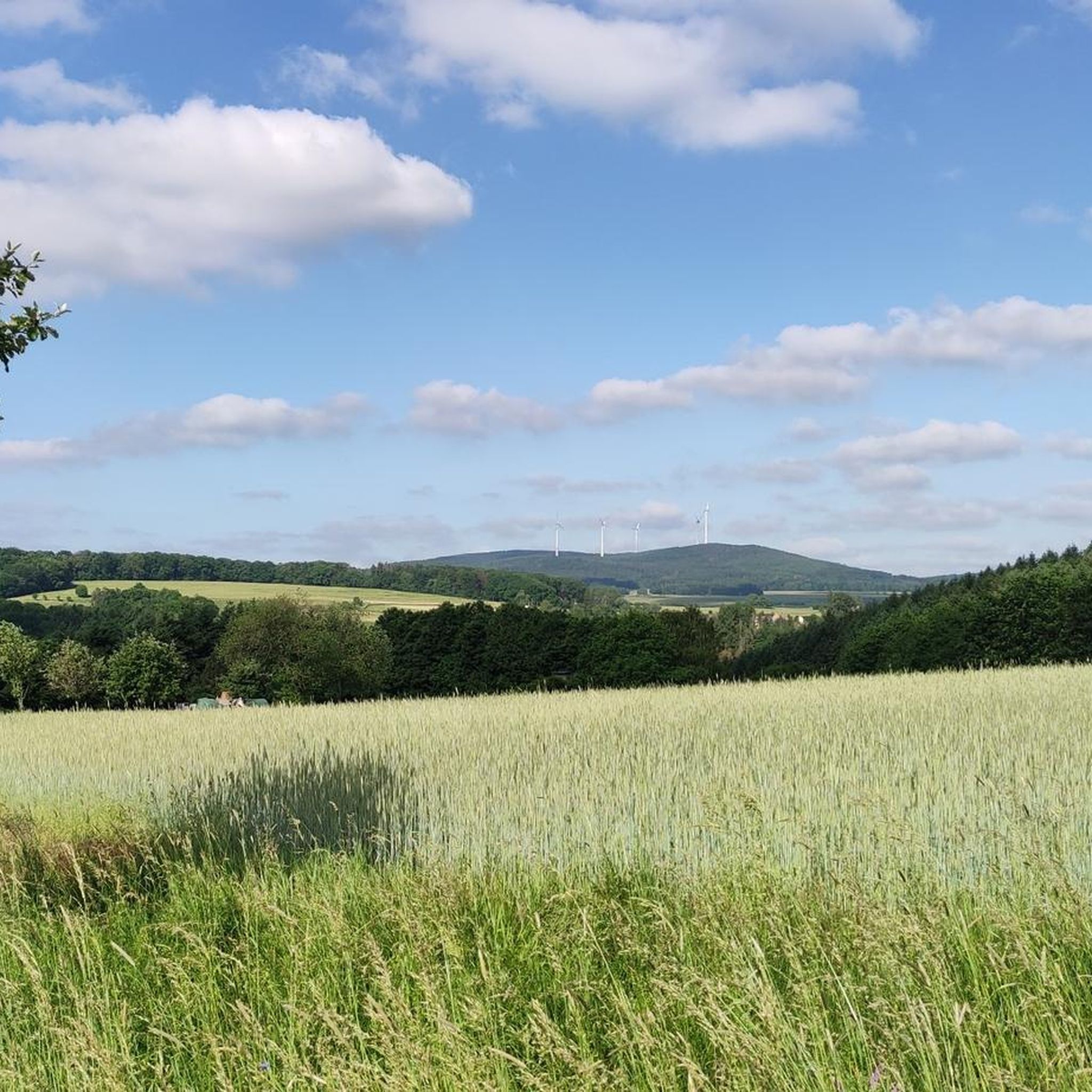
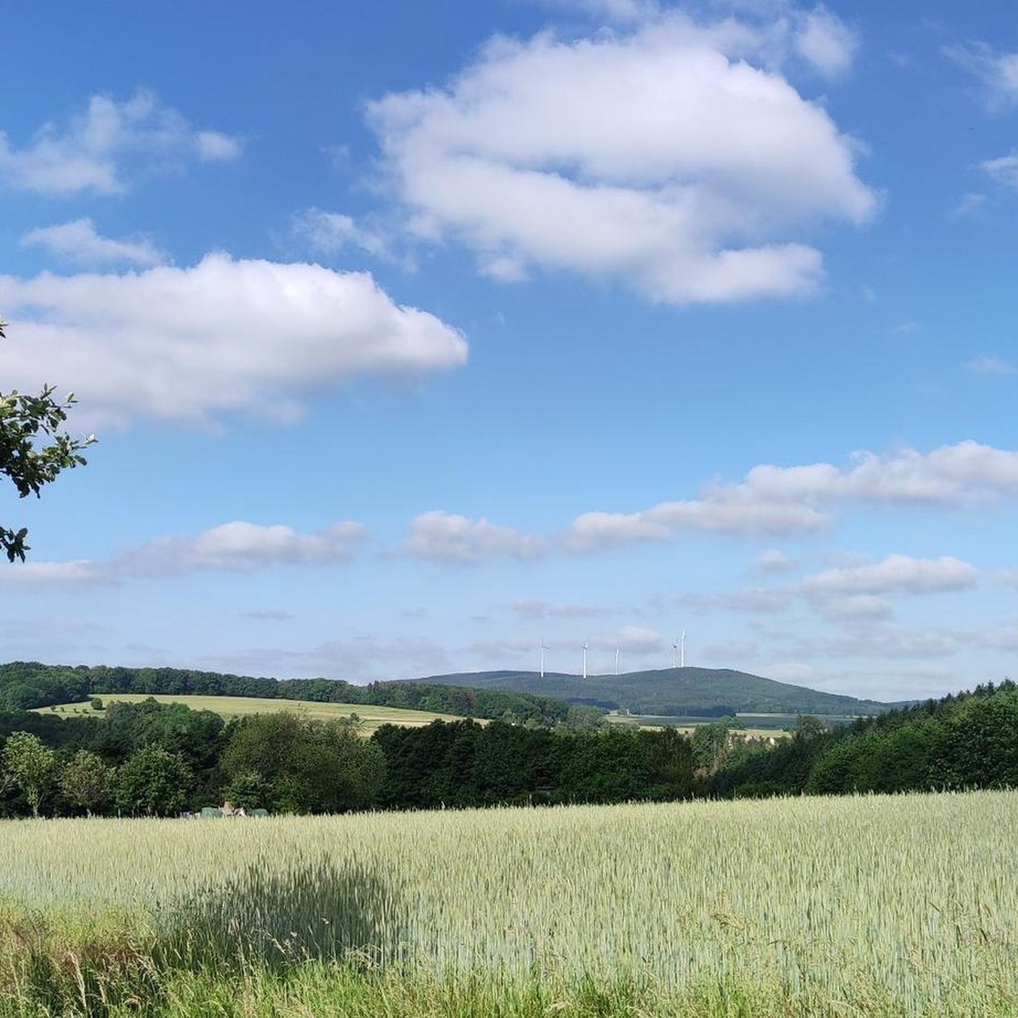
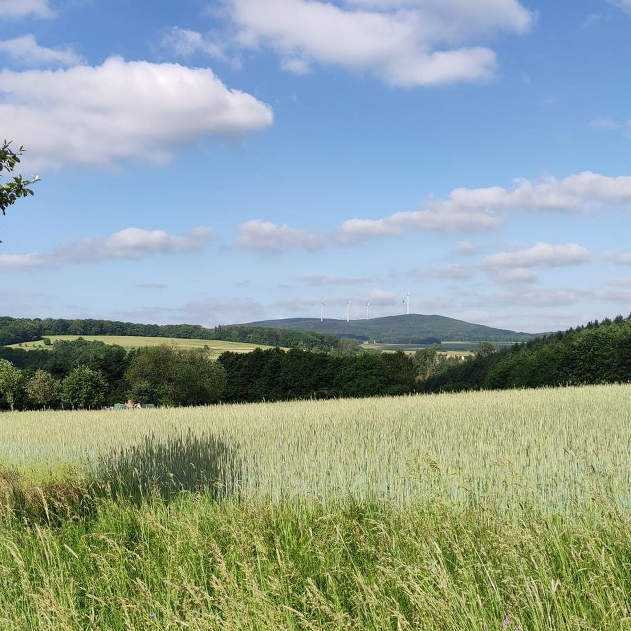
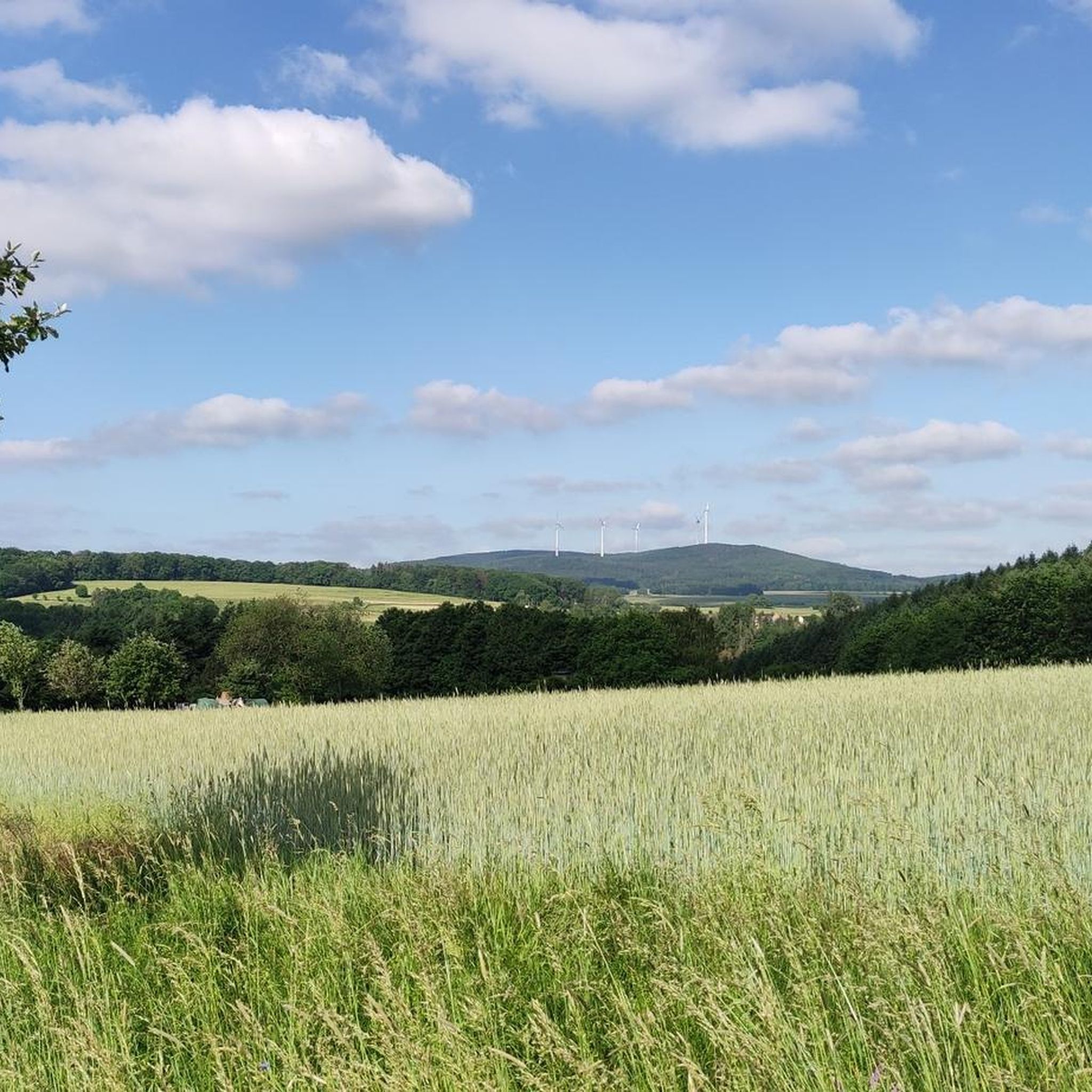
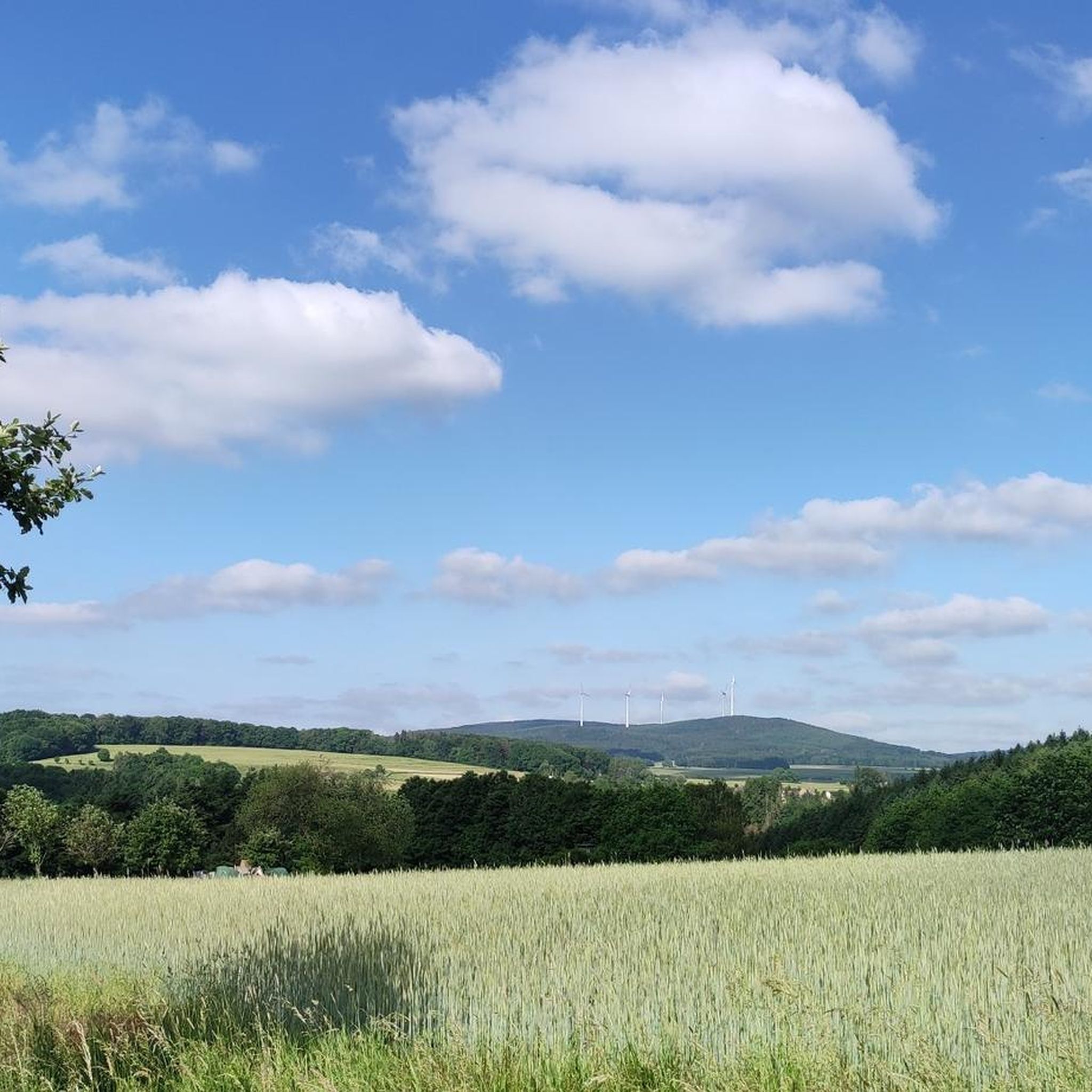
Beautiful path between the fields
0
0
Frequently Asked Questions
How many gravel bike trails are available around Daxweiler?
Daxweiler and its surroundings offer a wide selection of gravel bike trails, with over 50 routes to explore. These range from moderate paths to more challenging routes, catering to various skill levels.
What kind of terrain can I expect on gravel bike trails in Daxweiler?
The terrain around Daxweiler is diverse, characterized by extensive forest areas like the Soonwald and Binger Forest, which cover over 85% of the municipal land. You'll encounter the varied topography of the Hunsrück uplands, featuring quartz combs and deeply carved valleys, as well as scenic paths along the Nahe river. This mix provides both challenging climbs and more level sections.
Are there any family-friendly gravel biking options in Daxweiler?
While many routes in Daxweiler are rated as difficult, there are a few moderate options that might be suitable for families with some biking experience. For example, the Birch Avenue near Rheinböllen – Roman Road Bingen–Trier loop from Rheinböllen is a moderate 31.7 km route that offers a less strenuous ride.
What are some notable natural features or viewpoints along the gravel trails?
The region is rich in natural beauty. You'll find trails winding through the Soonwald-Nahe Nature Park, offering diverse habitats. For panoramic views, the Salzkopfturm, just north of Daxweiler, provides an outstanding vista. Additionally, many routes offer scenic glimpses of the Nahe river valley and the Hunsrück landscape.
Can I find any waterfalls or gorges on the gravel bike routes?
Yes, the area around Daxweiler features several beautiful waterfalls and gorges that can be incorporated into your rides. Consider exploring highlights such as the Kreuzbach Gorge, the Morgenbachtal Gorge and Waterfalls, or the Morgenbach Waterfall.
Are there historical sites or castles to see while gravel biking?
Absolutely. The region is dotted with historical landmarks. You can encounter impressive structures like the View of Burg Reichenstein, Pfalzgrafenstein Castle, or Rheinstein Castle. The 12th-century St. Martinus Church in Daxweiler is also a significant historical site.
What do other gravel bikers say about the trails in Daxweiler?
The gravel biking routes in Daxweiler are highly rated by the komoot community, with an average score of 4.5 stars from more than 10 reviews. Riders often praise the extensive forest paths, varied topography, and the rewarding views of the Hunsrück landscape.
Are there any circular gravel bike routes in the area?
Yes, many of the gravel bike trails around Daxweiler are designed as loops, offering convenient circular routes. An example is the View of Burg Reichenstein – Rhine-Nahe-Eck loop from Niederheimbach, a challenging 45.9 km route.
What is the best season for gravel biking in Daxweiler?
Daxweiler's suboceanic climate, influenced by the Gulf Stream, results in mild winters and cool summers. This creates favorable conditions for outdoor activities for much of the year, making spring through autumn generally excellent for gravel biking. Even mild winter days can be pleasant for a ride.
Are there options for advanced gravel bikers looking for a challenge?
Yes, Daxweiler is particularly well-suited for experienced gravel riders. A significant portion of the routes, 36 out of 59, are rated as difficult. Trails like the Gemünden Castle – View of Gemündener Castle loop from Schwappelbruch, a 59.3 km difficult route, offer substantial climbs and varied terrain for a challenging experience.
Where can I find parking for gravel biking routes in Daxweiler?
While specific parking locations vary by route, many trails start or pass near designated parking areas, especially at trailheads or popular access points within the Hunsrück and Soonwald forests. It's advisable to check the starting point details of your chosen route on komoot for precise parking information.
Can I reach Daxweiler's gravel trails using public transport?
Daxweiler is a smaller community, so direct public transport access to specific trailheads might be limited. However, you can often reach nearby towns like Bad Kreuznach or Stromberg by public transport, and then cycle to the starting points of the gravel routes. Planning your journey in advance is recommended.
Most popular attractions around Daxweiler

Get inspired with the komoot mobile app


Explore more
Browse the best Gravel rides in other regions.
