The best gravel rides around Nackenheim
4.4
(106)
642
riders
28
rides
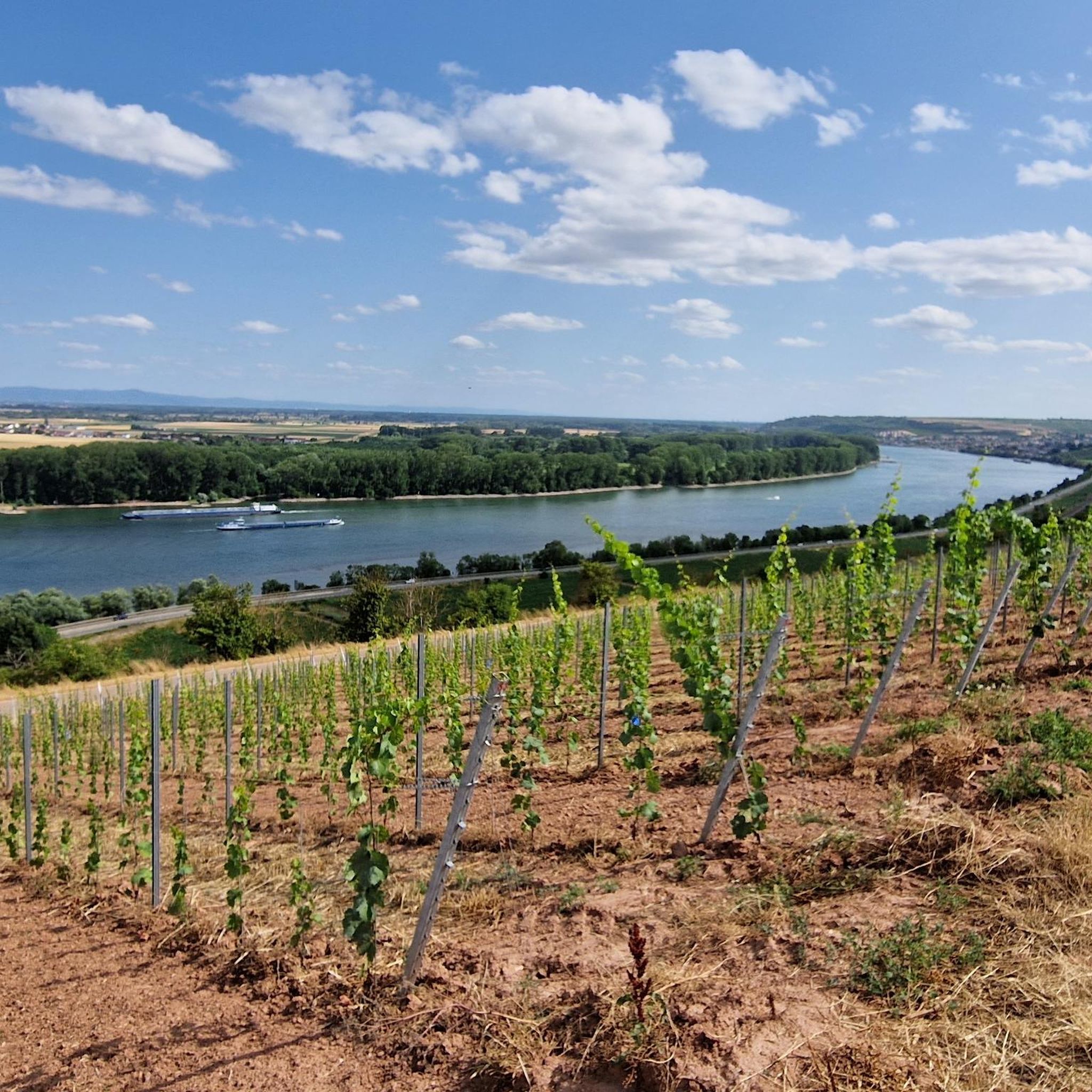
Gravel biking around Nackenheim offers diverse terrain nestled between the Rhine River and hillside vineyards. The region features a mix of unpaved segments, forest paths, and riverside trails, providing varied surfaces for gravel cyclists. Its unique geographical setting in Rhenish Hesse includes expansive vineyards and direct access to the Rhine, making it suitable for exploring on mixed-surface routes. The rolling hills of Rheinhessen provide elevation changes, creating engaging rides with rewarding views.
Best gravel bike trails around Nackenheim
- The most…
Last updated: November 17, 2026
4.2
(20)
79
riders
49.2km
03:39
470m
470m
Hard gravel ride. Very good fitness required. You may need to push your bike for some segments of this route.
4.4
(14)
54
riders
57.1km
03:30
520m
520m
Hard gravel ride. Very good fitness required. Mostly paved surfaces.

4.8
(5)
23
riders
80.9km
04:23
320m
320m
Moderate gravel ride. Good fitness required. Mostly paved surfaces.
4.5
(4)
28
riders
45.5km
02:36
70m
70m
Moderate gravel ride. Good fitness required. Mostly paved surfaces.
4.5
(6)
24
riders
51.4km
02:32
140m
140m
Moderate gravel ride. Good fitness required. Mostly paved surfaces.
Get access to more routes and recommendations from other explorers.
Already have an account?
Our route recommendations are based on thousands of hikes, rides, and runs completed by other people on komoot.
Start today with a free account
Your next adventure awaits.
Tips from the Community

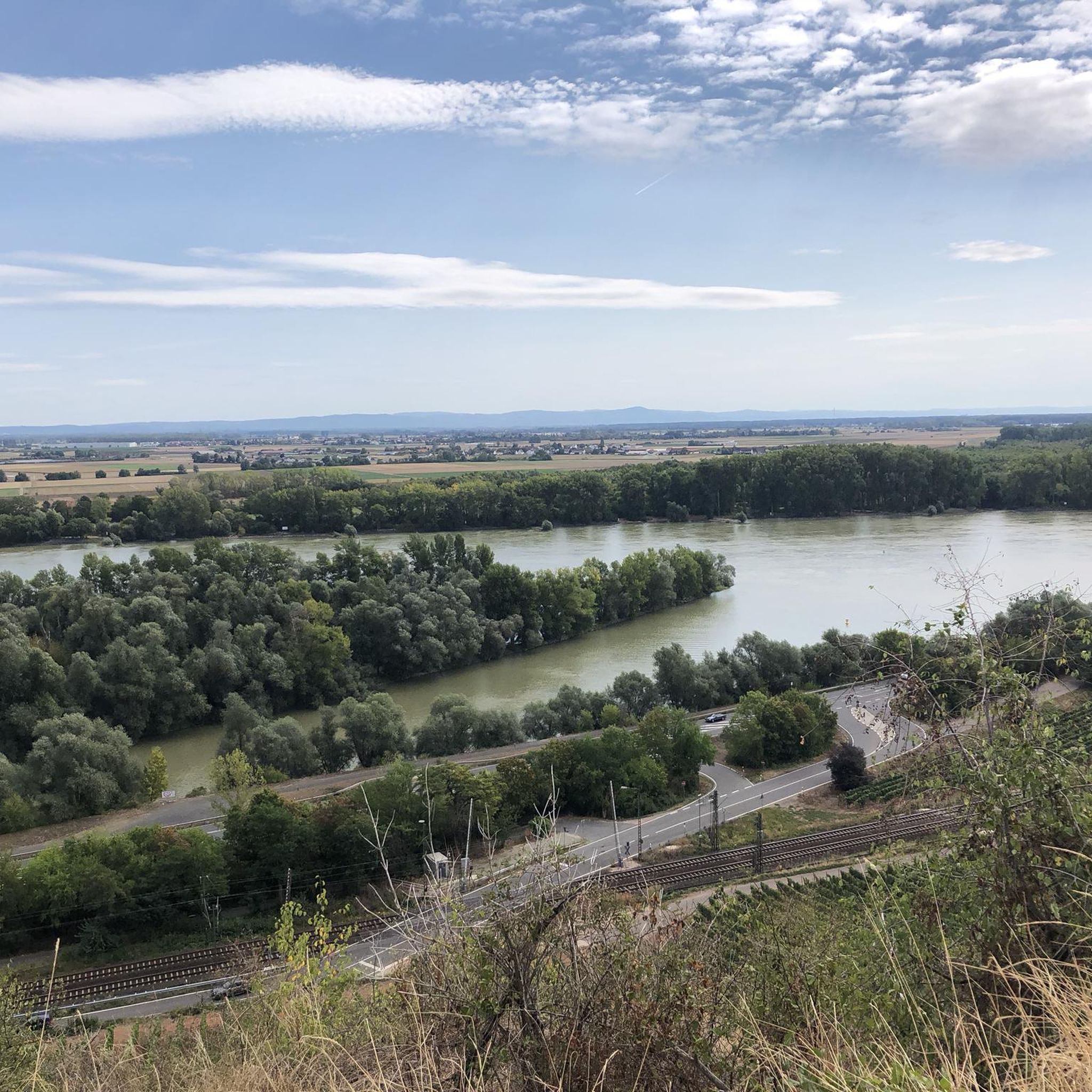
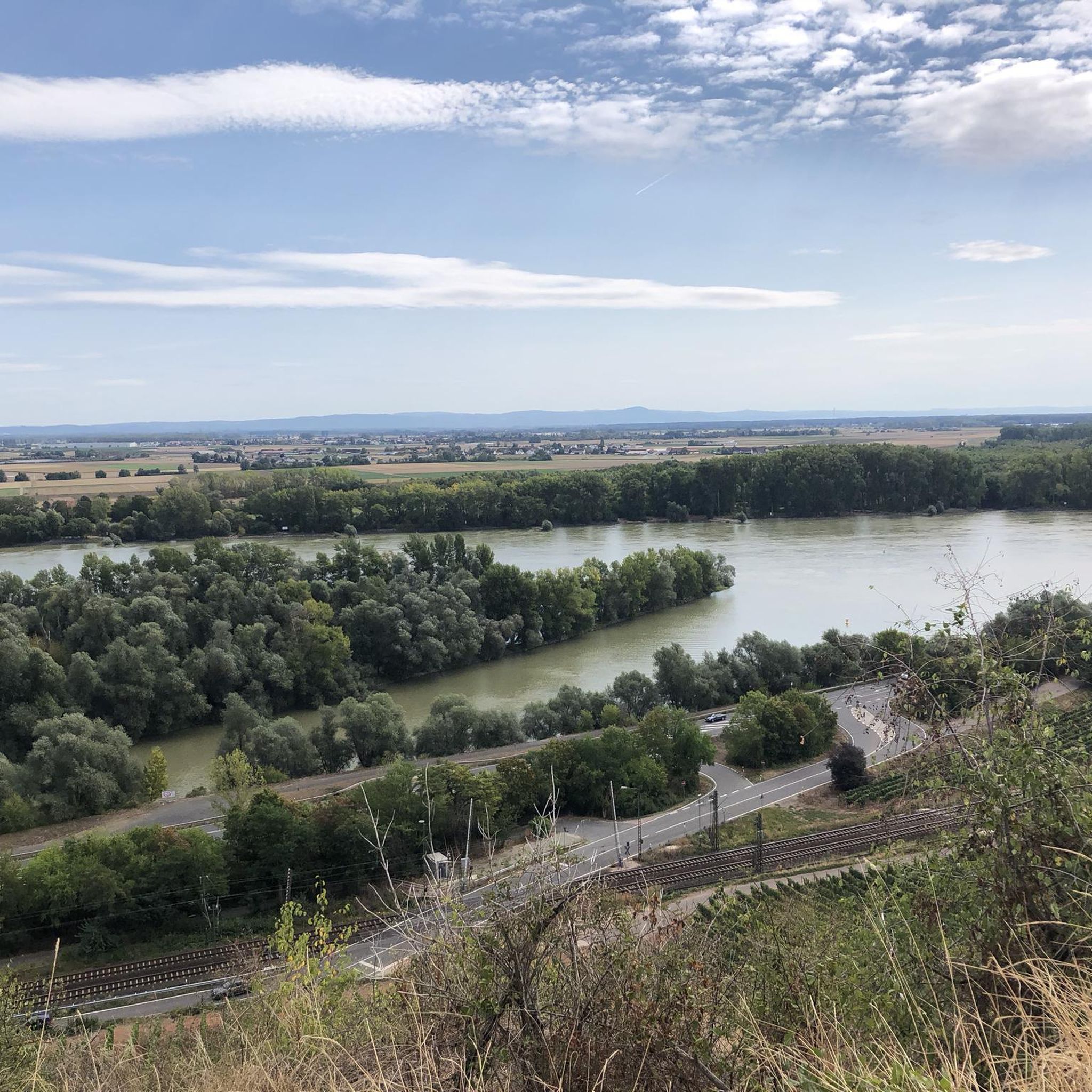
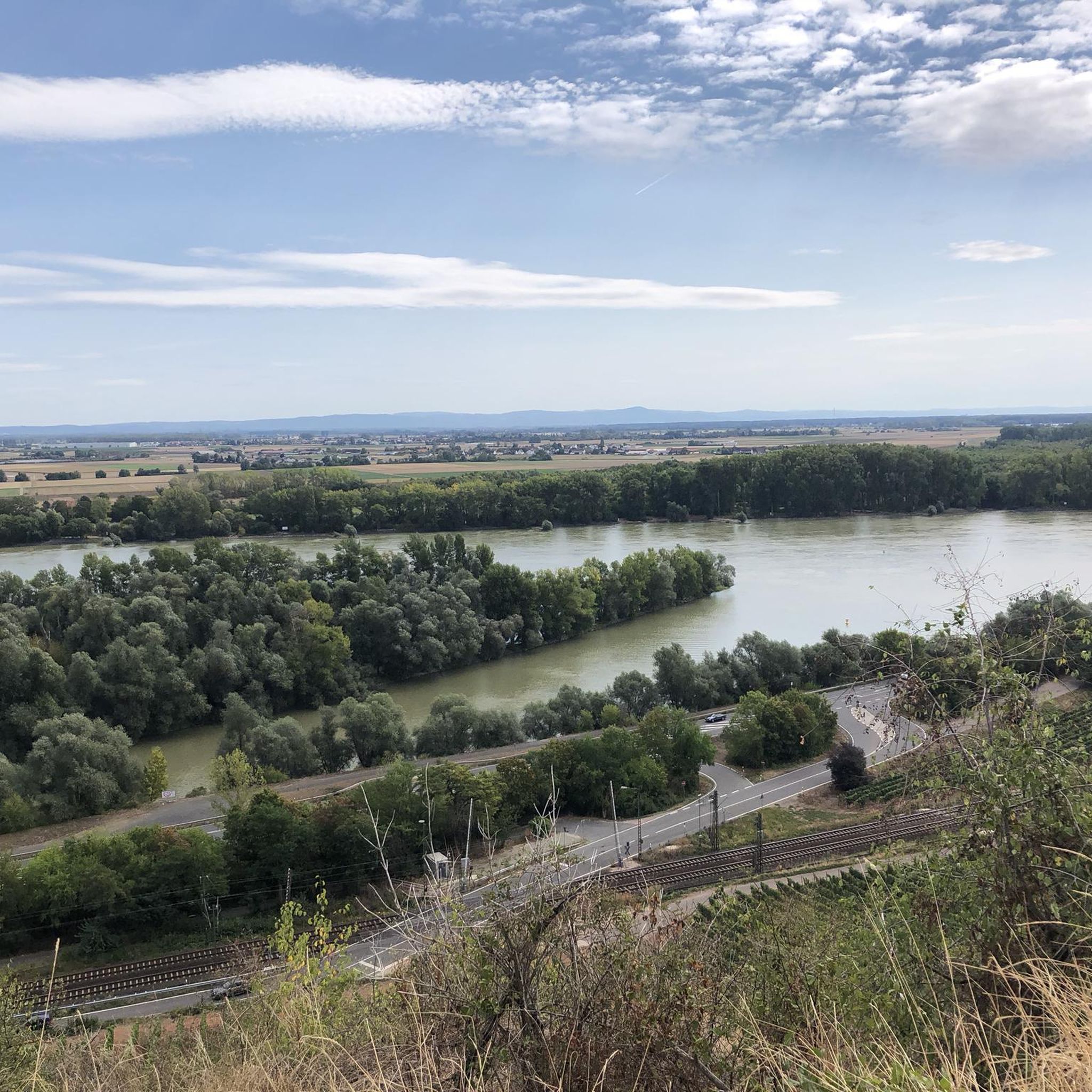
The view of the Rhine towards Mainz, Wiesbaden and the Taunus offers one of the most impressive panoramic views in the region. From this vantage point, the gaze wanders over the wide Rhine, which winds through the landscape as a defining lifeline. The interplay of river, city and low mountain range creates a varied and characteristic landscape.
6
0

The Flörsheimer Warte, a former watchtower, was part of the Kasteler Landwehr in the 15th century, which the Archbishopric of Mainz had established to protect its possessions on the right bank of the Rhine. After secularization (1803), the Landwehr lost its importance, as there was nothing left to defend due to lack of substance. The Flörsheimer Warte gradually fell into ruin. In 1996, a reconstruction based on historical models was built next to the relics of the medieval defensive tower. From here, there are magnificent panoramic views in all four cardinal directions over the Rheingau and the Taunus to the Frankfurt skyline. The popular excursion restaurant "Flörsheimer Warte" with a wine garden and weekend winter lounge invites you to enjoy Spundekäs, Handkäs, and Bauernsalat, accompanied by the best drops from the vineyards in Wicker and Hochheim. More information: https://www.rheingau.com/infosystem/floersheimer-warte/poi.html.
1
0

Taking part in a guided tour on the Schiffsmühle is highly recommended and interesting.
0
0

The Hegbachsee was created in the mid-1960s through gravel extraction for the adjacent motorway. Before the current name caught on in 1987, six different names for the lake were in circulation, including Autobahnbaggersee and Nauheimer Waldsee. Today, the body of water serves as a flood retention basin and a recreational area. Although swimming is not permitted here, a walk around the lake is worthwhile in any season. The diverse birdlife, in particular, is something to marvel at here.
1
0

The Main, with a total length of 527 kilometers, is the longest right tributary of the Rhine and one of Germany's most important rivers. It originates with its two headwaters (White and Red Main) in Bavaria and flows in characteristic loops from east to west. Its long journey ends at the so-called Mainspitze, where it flows into the Rhine exactly between Ginsheim-Gustavsburg and the Wiesbaden district of Mainz-Kostheim, directly opposite Mainz's old town.
13
0


The sculpture "The Circle" opens to the east, towards the light. Sculptor Thomas Link defines this direction by the axis from the sound stele in the center of the circle to the pair of steles outside. These cast long shadows, with a bright line at their center. The sound stele opposite opens to the wind, transforming the moving air into sound. The panoramic trail is part of the regional park's circular route and connects the Bad Weilbach park with the wine village of Wicker over a distance of almost 1.5 kilometers. On clear days, the view extends as far as the Odenwald forest. In the Middle Ages, the "Kasteler Landwehr," the border and defensive fortification protecting the territory of the Electorate of Mainz, ran along this route. In the summer of 1998, five artists created five large stone sculptures along the panoramic trail. The regional park society invited not only Thomas Link from Issing near Munich, who created the circle of stones from basalt, to this plein air sculpture symposium. Hubert Maier, Gerard Höweler, Georg Hüter, and Ingrid Hornef also used the six-week project period to create charismatic works. The goal of the international open-air artists' workshop was not only to enhance the inspiring surroundings with monumental objects. The public also had the opportunity to engage in conversation with the artists during the creative process. This participation and understanding of the artists' thoughts during the creation of the objects ensured the project's great success. Link, for example, explains: "What the eye sees in the surroundings—the movement of grasses and leaves—is simultaneously experienced by the viewer as a sound that swells and recedes with the breath of the wind." The spheres rest around a central point. They bear semi-circular depressions, whose positions indicate directions in space. "This sphere is dedicated to the earth, to the interplay of darkness and incoming light." Each sphere is part of the whole and yet stands alone. Beyond this, the view extends into the landscape, changing from place to place in a circular pattern. “The stones rest, gathered around the center,” they point to direction and space: “Into this structure, humankind enters and finds its place.” None of the stones, not even those of the other artists, are placed by chance along the path. All reflect the landscape in which and for which they were created. It is about knowledge and feeling, about culture and nature, about noise (including aircraft noise) and silence, about the hustle and bustle of life and about finding peace. [The following appears to be a separate, unrelated sentence fragment:] [The following appears to be a separate, unrelated sentence fragment:] [The following appears to be a separate, unrelated sentence fragment:] [The following appears to be a separate, unrelated sentence fragment:] None of the stones, not even those of the other artists, are placed by chance along the path. All of them reflect the landscape in which and for which they were created. It is about knowledge and feeling, about culture and nature, about noise (including aircraft noise) and silence, about hurried life and about finding peace. [The following appears to be a separate, unrelated sentence fragment:] ...
20
1
Frequently Asked Questions
How many gravel bike trails are available around Nackenheim?
There are over 80 gravel bike trails around Nackenheim listed on komoot. These routes offer a diverse range of experiences, from easy riverside cruises to more challenging vineyard ascents.
What kind of terrain can I expect on gravel bike trails in Nackenheim?
Nackenheim's gravel bike trails feature a varied landscape. You'll encounter a mix of unpaved segments, forest paths, and riverside trails along the Rhine. The region is particularly known for its rolling vineyards, offering both scenic beauty and varied surfaces.
Are there any easy gravel bike routes suitable for beginners or families?
Yes, Nackenheim offers several easy gravel bike routes. For a more relaxed ride, consider routes that stick closer to the Rhine, such as the New Rhine Cycle Path – Rhine River at Laubenheim loop from Bodenheim, which is rated as easy and offers gentle terrain.
What are some challenging gravel bike routes in the Nackenheim area?
For those seeking a challenge, routes with more elevation gain through the vineyards are available. The View of the Rhine – Roter Hang Nierstein loop from Nierstein is rated as difficult, featuring significant ascents and covering a longer distance of nearly 56 km.
Are there any circular gravel bike routes around Nackenheim?
Yes, many of the gravel bike routes in Nackenheim are designed as loops, allowing you to start and end at the same point. An example is the Rhein Cycle Expressway Am Damm – Roter Hang Vineyards loop from Nackenheim, which takes you through the scenic Roter Hang Vineyards.
What natural attractions can I see while gravel biking in Nackenheim?
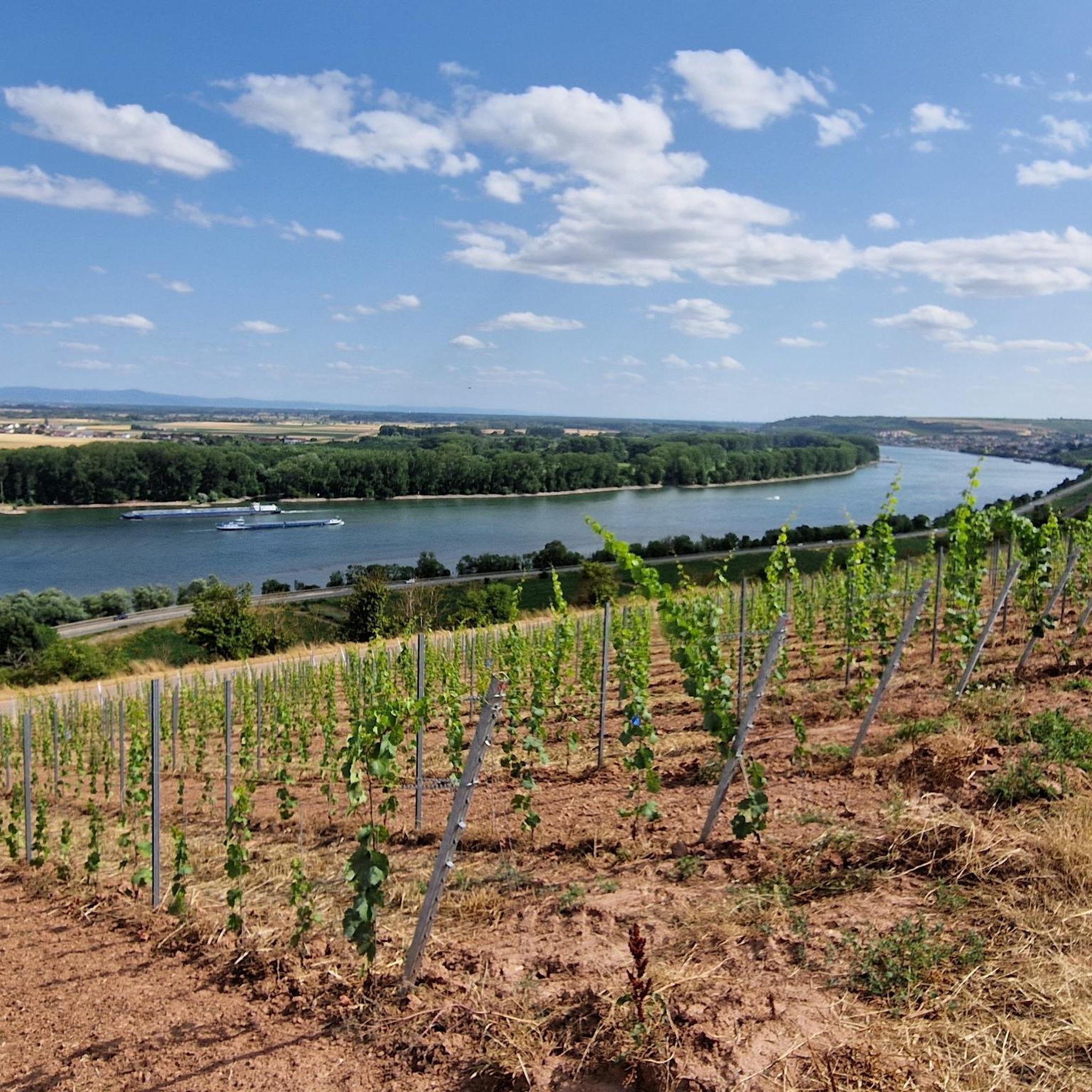
The region boasts beautiful natural features. You can explore the expansive vineyards, including the famous Roter Hang, and enjoy panoramic views of the Rhine River. Notable natural highlights include the Main estuary and the Mainspitze, where the Main meets the Rhine.
Are there any historical landmarks or points of interest along the gravel trails?
Yes, you can discover several historical landmarks. The ruins of Landskron Castle offer a historical lookout point. Additionally, the area features charming towns with well-preserved half-timbered houses and the historic St. Gallus Church in Nackenheim itself.
What do other gravel bikers enjoy most about Nackenheim?
The area is highly rated by the komoot community, with an average score of 4.5 stars from over 200 reviews. Reviewers often praise the diverse terrain, the stunning vineyard landscapes, and the scenic riverside paths that offer open views of the Rhine.
Can I find routes that offer views of the Rhine River?
Absolutely. Many routes in Nackenheim run directly alongside or offer elevated views of the Rhine River. The Rhein Riverside Beach – View of the Rhine loop from Nierstein is a great option, following the riverside and providing open vistas of the river landscape.
Are there any gravel routes that pass through vineyards?
Yes, Nackenheim is famous for its vineyards, and many gravel routes traverse these picturesque areas. The Rhein Cycle Expressway Am Damm – Roter Hang Vineyards loop from Nackenheim is an excellent choice for experiencing the renowned Roter Hang vineyards up close.
What is the best time of year for gravel biking in Nackenheim?
The region is generally pleasant for gravel biking from spring through autumn. Spring offers blooming vineyards, while autumn provides vibrant colors and the opportunity to experience local wine festivals. Summer is also popular, but it's advisable to start earlier in the day to avoid the midday heat.
Are there any routes that connect to other cycling paths?
Yes, Nackenheim's routes often connect with larger cycling networks. The Rhine Cycle Path (Rheinradweg) and the RheinTerrassenWeg are popular paths that run through or near the area, offering extensive opportunities to explore the countryside and connect to other towns along the Rhine.
Most popular routes around Nackenheim
Most popular attractions around Nackenheim

Get inspired with the komoot mobile app


Explore more
Browse the best Gravel rides in other regions.
