The best gravel rides around Lauenhagen
4.5
(15)
93
riders
23
rides
Gravel biking around Lauenhagen features a landscape characterized by gentle hills, expansive agricultural fields, and sections along the Mittelland Canal. The region includes views of the Weser Uplands and the Auetal Valley, offering varied terrain for gravel cyclists. Forested areas provide shaded paths, while open routes offer broader vistas across the Schaumburg Land.
Best gravel bike trails around Lauenhagen
- The most popular gravel bike trail is View of the Weser Uplands – Wierser Tor Signpost loop from Habichhorst-Blyinghausen, a…
Last updated: November 2, 2026
5.0
(2)
28
riders
53.2km
03:40
880m
880m
Hard gravel ride. Very good fitness required. You may need to push your bike for some segments of this route.
5.0
(1)
7
riders
80.2km
05:06
1,280m
1,280m
Hard gravel ride. Very good fitness required. Mostly paved surfaces.

5.0
(1)
8
riders
Moderate gravel ride. Good fitness required. Mostly paved surfaces.
4.0
(2)
8
riders
39.3km
02:20
220m
220m
Hard gravel ride. Good fitness required. You may need to push your bike for some segments of this route.
4.0
(1)
11
riders
Easy gravel ride. Mostly paved surfaces.
Get access to more routes and recommendations from other explorers.
Already have an account?
Our route recommendations are based on thousands of hikes, rides, and runs completed by other people on komoot.
Start today with a free account
Your next adventure awaits.
Tips from the Community

Wonderful place
0
0

Spring with rest area with table and benches.
1
0
Source of the sulfur spring with adjacent rest area with table and benches near the spa basin.
0
0

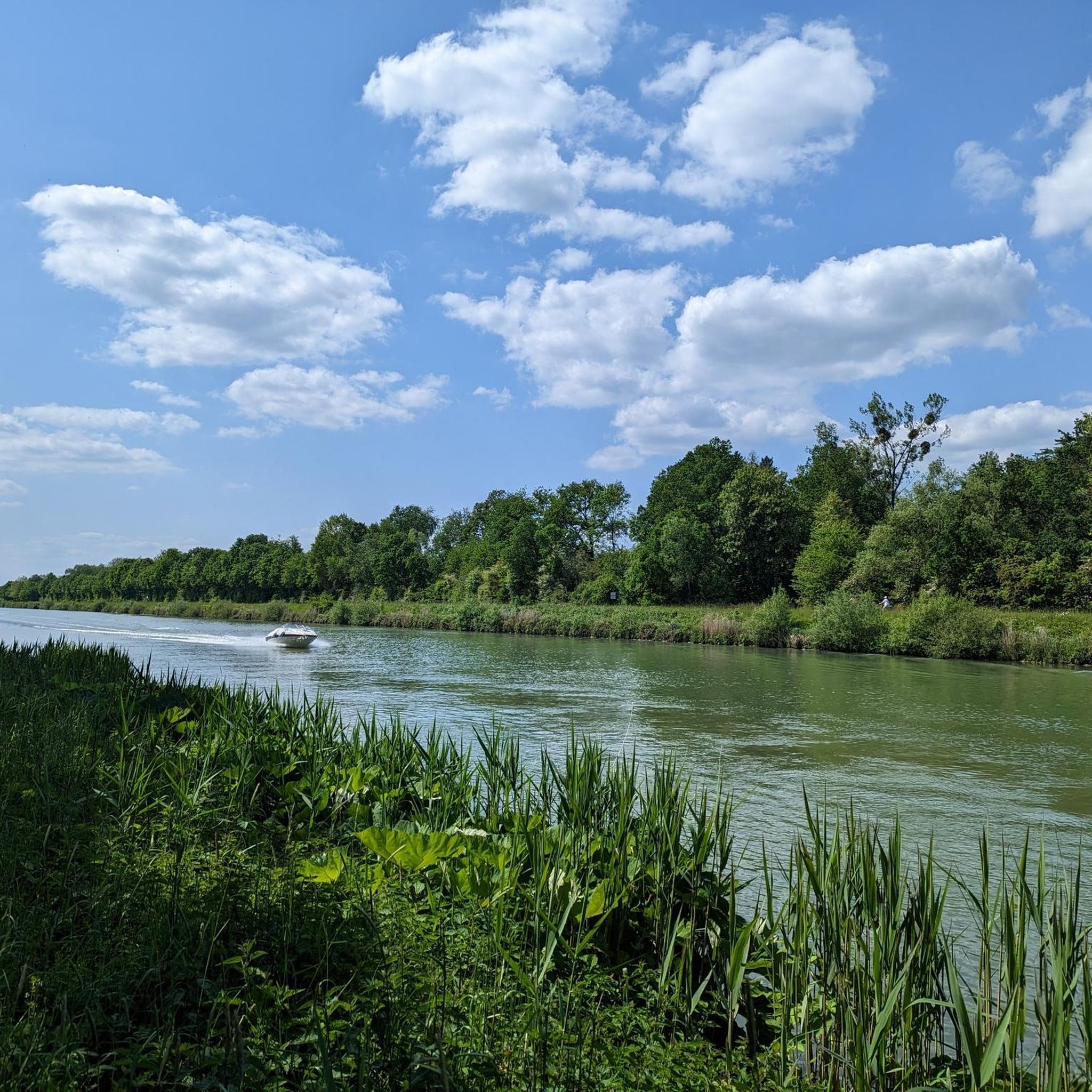
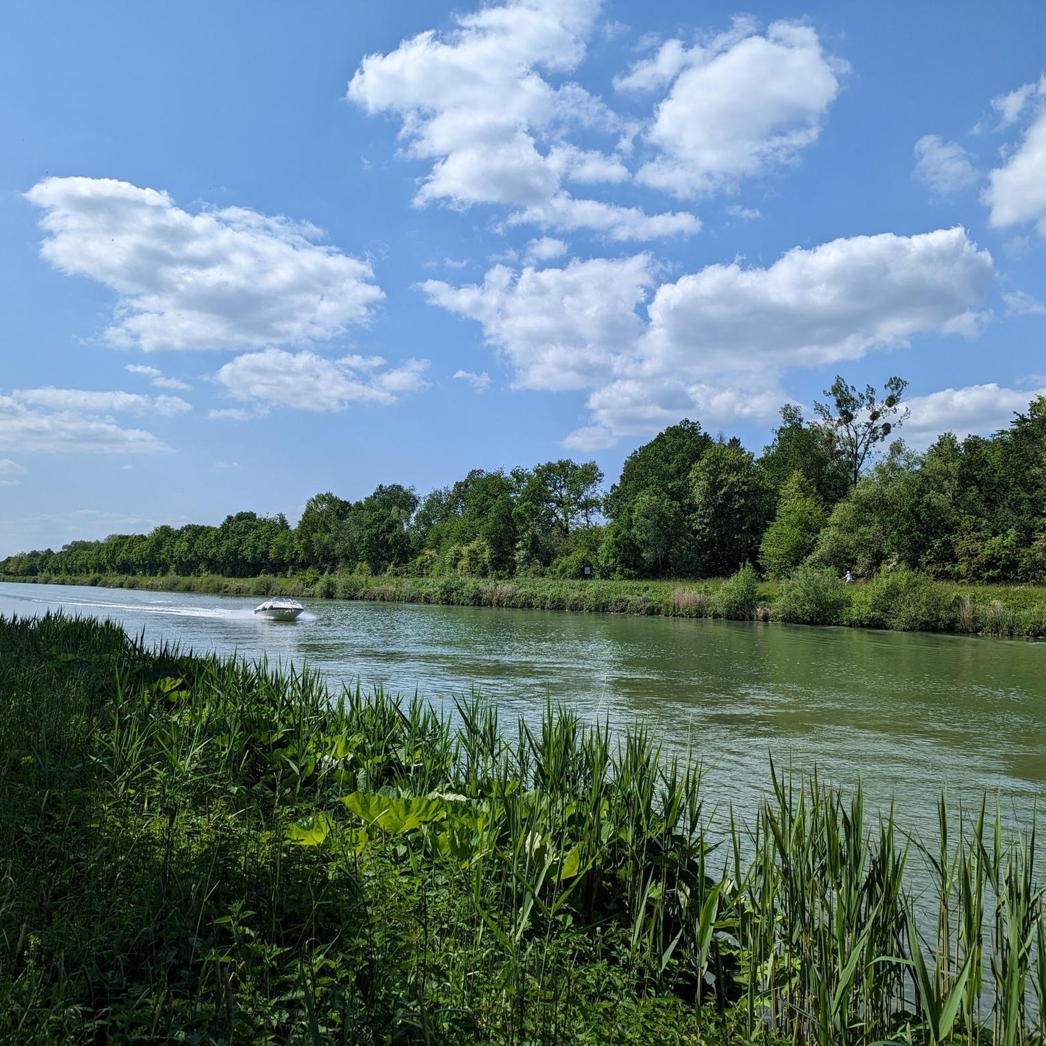
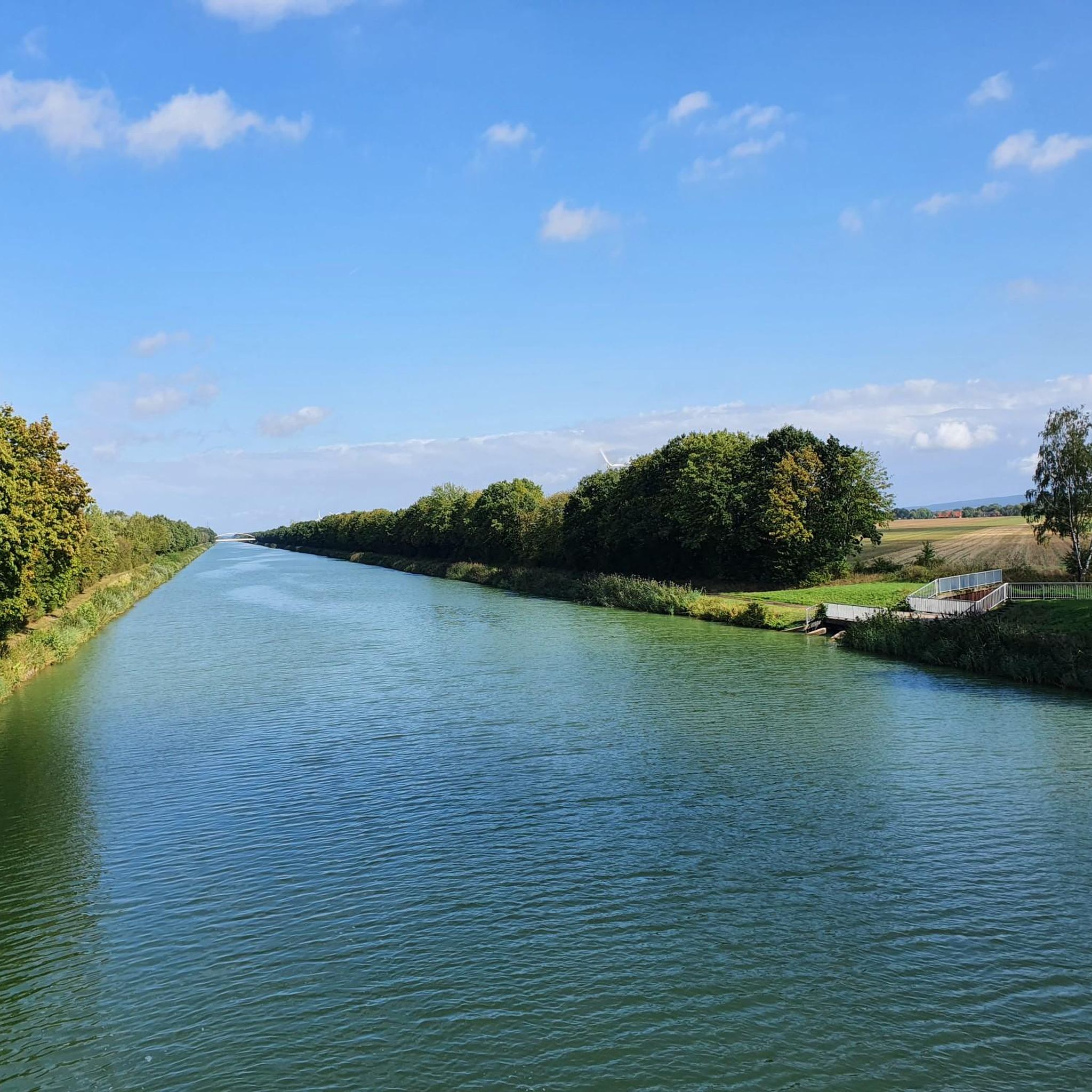
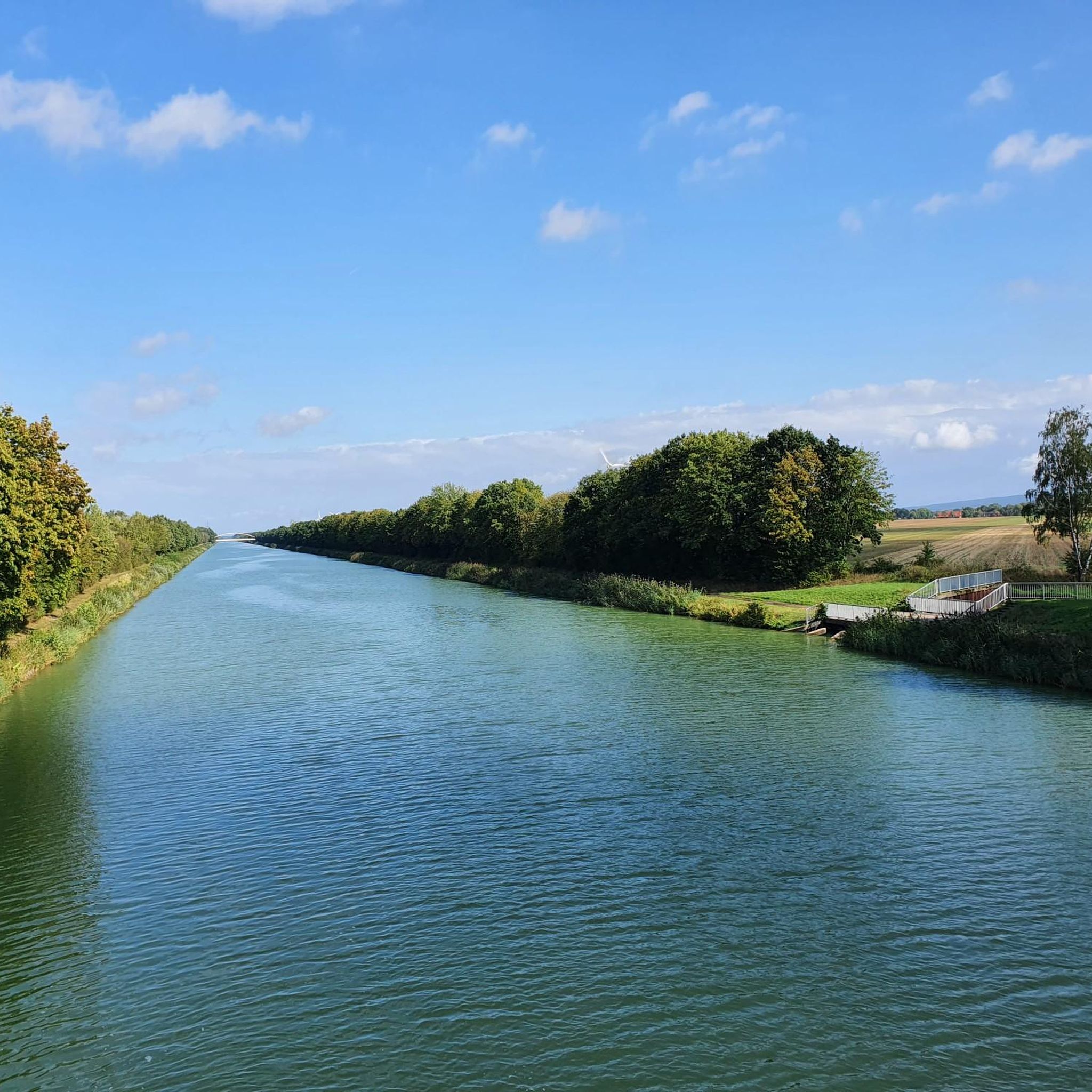
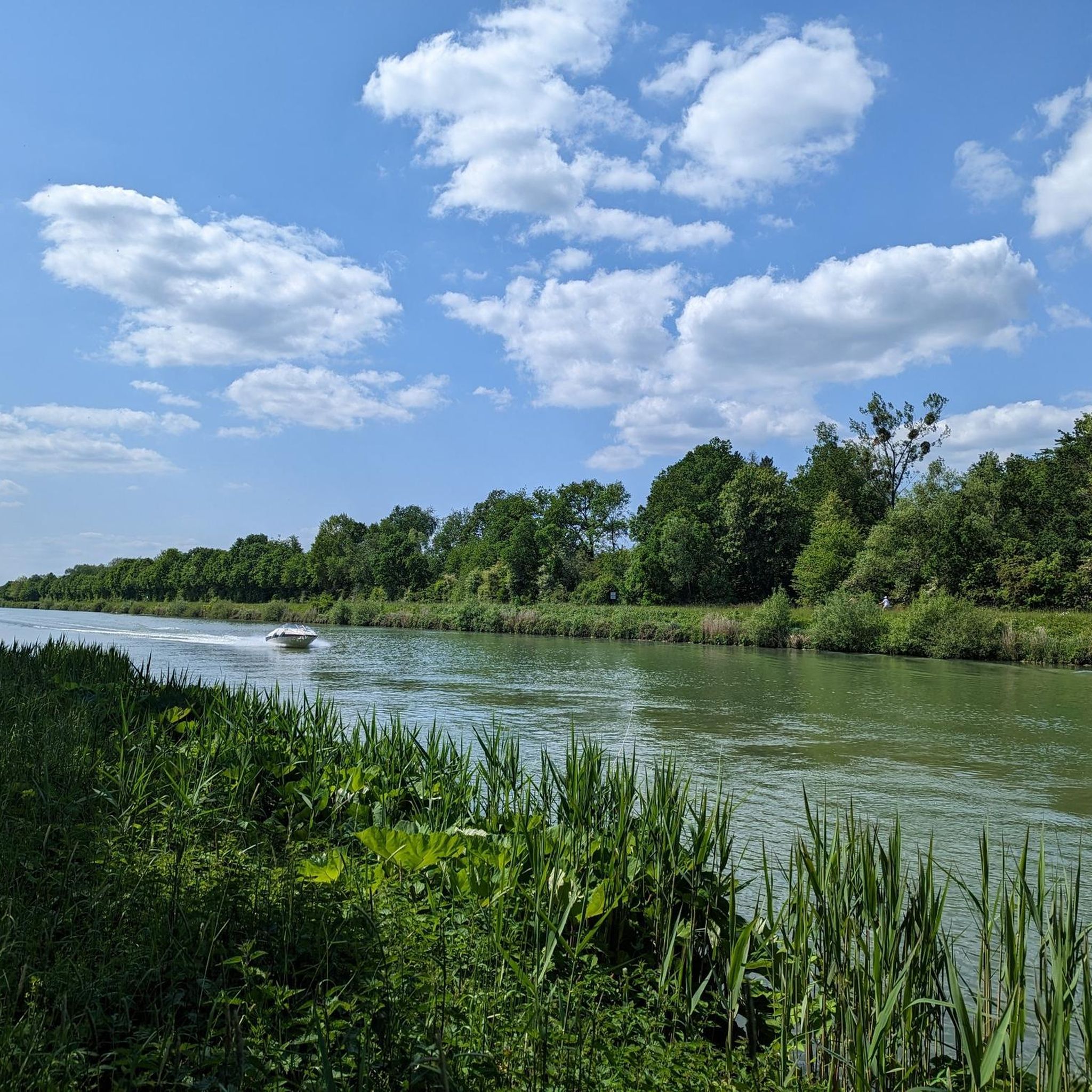
Mittellandkanal in the Hanover region. Nice route along the canal, unfortunately the view is somewhat restricted by the grass.
1
0

The Luccaburg was a high medieval motte-and-bailey castle of the Counts of Lucca from the 11th/12th century, it is recognizable as a powerful, round earth mound. Parts of the 2 m wide ring wall are preserved.
2
0

Der Alte Busch, the mountain is actually called that, simply offers a great all-round view!
1
0

At this point, the highest point is reached and a reward follows in the form of the view on the ridge trail into the Auetal.
0
0
The view rewards the climb to the old Hawk station.
0
0
Frequently Asked Questions
How many gravel bike trails are available around Lauenhagen?
There are over 40 gravel bike routes to explore around Lauenhagen, offering a diverse range of experiences for all skill levels.
Are there any easy gravel bike routes suitable for beginners or families?
Yes, Lauenhagen offers several easy gravel routes. For a pleasant ride, consider the Forest Gravel Path – Forest Edge Trail loop from Stadthagen, which is 19.9 miles (32.0 km) long and features minimal elevation gain, making it ideal for a relaxed outing.
What are some challenging gravel routes for experienced riders?
For those seeking a challenge, the region has several difficult routes. The View of the Weser Uplands – Wierser Tor Signpost loop from Habichhorst-Blyinghausen is a demanding 32.3 miles (52.0 km) trail with significant elevation gain through the uplands. Another option is the View of Schaumburg Land – View of the Auetal Valley loop from Kirchhorsten, a 50.2 miles (80.7 km) path offering extensive views and a substantial workout.
Are there gravel bike routes that are loop trails?
Many of the gravel bike routes around Lauenhagen are designed as loops, allowing you to start and finish at the same point. Examples include the View of the Mittelland Canal – Mittelland Canal loop from Lindhorst and the View of the Auetal Valley – View of the Auetal Valley loop from Landkreis Schaumburg.
What kind of scenery can I expect on gravel bike trails in Lauenhagen?
Gravel biking in Lauenhagen offers diverse scenery, from gentle hills and expansive agricultural fields to shaded paths through forested areas. You'll also find routes along the Mittelland Canal and enjoy views of the Weser Uplands and the Auetal Valley, providing a mix of open vistas and natural landscapes.
Are there any viewpoints or scenic spots along the gravel routes?
Yes, the region is known for its scenic views. You can find beautiful vistas such as Birkenhöhe Viewpoint and the Bergkirchen shelter and Millennium Cross, which offers views of Lake Steinhude and the Schaumburg countryside. Many routes, like those through the Auetal Valley, are specifically chosen for their panoramic outlooks.
What are some interesting natural attractions or landmarks near the trails?
Beyond the trails, you can explore natural attractions such as the Meerbruchwiesen Bird Sanctuary and the Hagenburger Moor Nature Reserve. There are also several huts and shelters like Brandshof Shelter and Karl's Hut that can serve as points of interest.
What is the best time of year to go gravel biking in Lauenhagen?
The region's landscape, with its varied terrain and open fields, is generally enjoyable from spring through autumn. While specific weather conditions can vary, these seasons typically offer the most pleasant temperatures and trail conditions for gravel biking.
Are there any facilities like cafes or rest stops along the gravel routes?
While specific cafes directly on every trail might vary, the region has several huts and facilities that can serve as rest stops. For instance, Forsthaus Halt is a facility that could be a convenient stop. It's always a good idea to check the route details for specific amenities before you set out.
What do other gravel bikers say about the trails in Lauenhagen?
The gravel biking routes around Lauenhagen are highly regarded by the komoot community, with an average rating of 4.8 stars from over 20 reviews. Riders often praise the varied terrain, the scenic views of the Weser Uplands and Auetal Valley, and the well-maintained paths that make for an enjoyable experience.
What are the typical lengths and durations of gravel bike trails in Lauenhagen?
Gravel bike trails in Lauenhagen vary significantly in length and duration. You can find shorter routes like the View of the Auetal Valley – View of the Auetal Valley loop from Landkreis Schaumburg, which is 14.5 miles (23.4 km) and takes about 1 hour 31 minutes. Longer, more challenging routes can extend up to 50.2 miles (80.7 km), requiring several hours to complete.
Most popular routes around Lauenhagen
Most popular attractions around Lauenhagen

Get inspired with the komoot mobile app


Explore more
Browse the best Gravel rides in other regions.
