The best gravel rides around Lüdersfeld
4.8
(26)
150
riders
37
rides
Gravel biking around Lüdersfeld offers diverse terrain within the Schaumburger Land region, characterized by a mix of forests, open fields, and proximity to significant natural features. The landscape includes areas near the Steinhuder Meer, providing paths around the lake, and extends towards the hilly Wesergebirge and Schaumburger Wald, which feature forest trails. This combination creates varied surfaces and environments suitable for gravel riding.
Best gravel bike trails around Lüdersfeld
- The most popular gravel bike trail is Nienstedter Pass – View…
Last updated: July 30, 2026
5.0
(2)
27
riders
Hard gravel ride. Very good fitness required. You may need to push your bike for some segments of this route.
5.0
(2)
24
riders
58.1km
03:45
970m
970m
Hard gravel ride. Very good fitness required. Mostly paved surfaces. Suitable for all skill levels.

Sign up for free
4.0
(4)
8
riders
Hard gravel ride. Very good fitness required. Mostly paved surfaces. Suitable for all skill levels.
5.0
(1)
8
riders
Moderate gravel ride. Good fitness required. Mostly paved surfaces. Suitable for all skill levels.
5.0
(1)
4
riders
Easy gravel ride. Great for any fitness level. Mostly paved surfaces. Suitable for all skill levels.
Get access to more routes and recommendations from other explorers.
Sign up for free
Already have an account?
Our route recommendations are based on thousands of hikes, rides, and runs completed by other people on komoot.
Start today with a free account
Your next adventure awaits.
Login or Signup
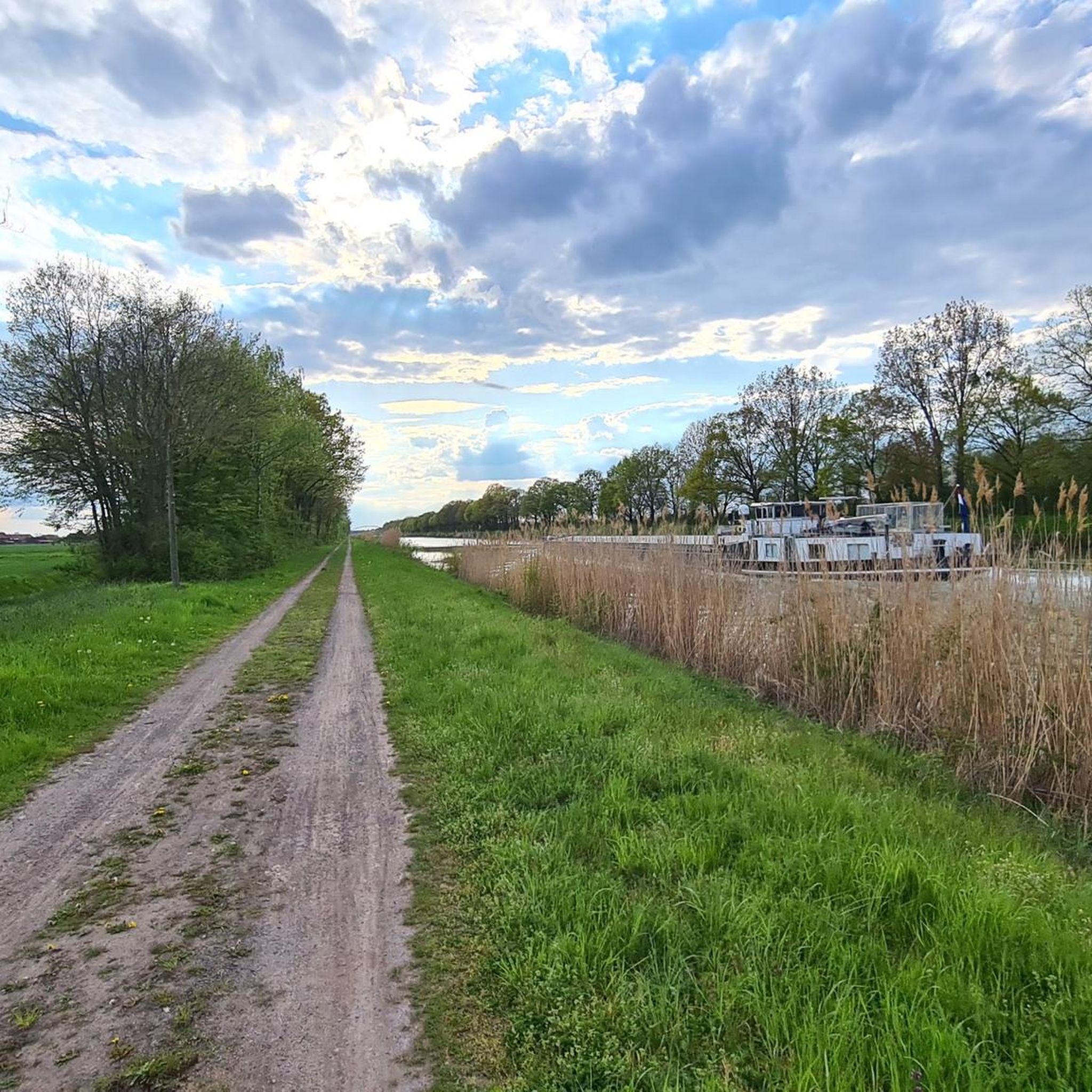
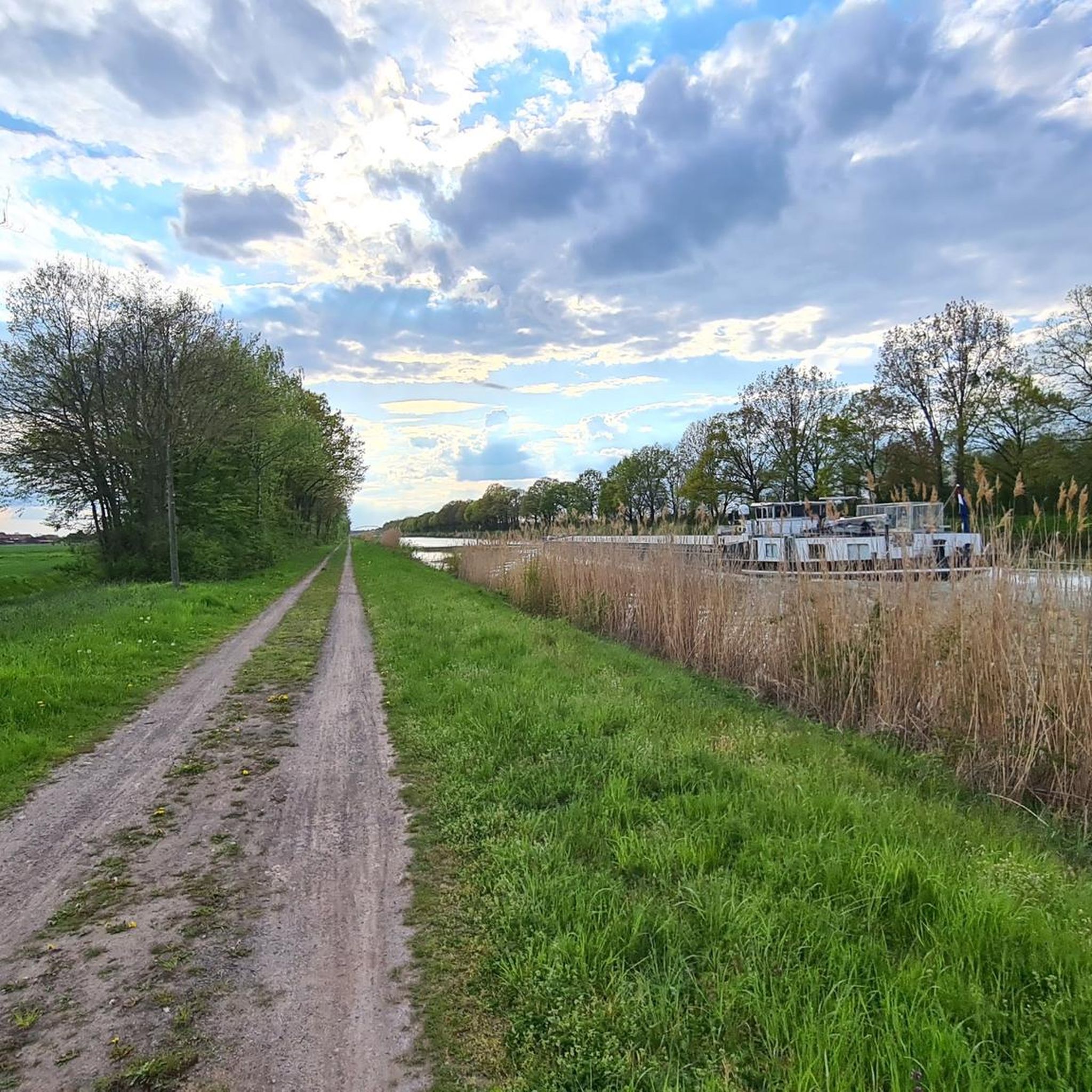
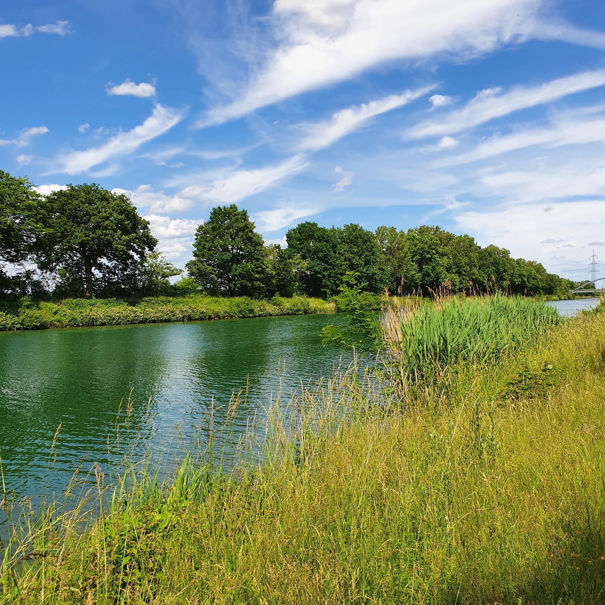
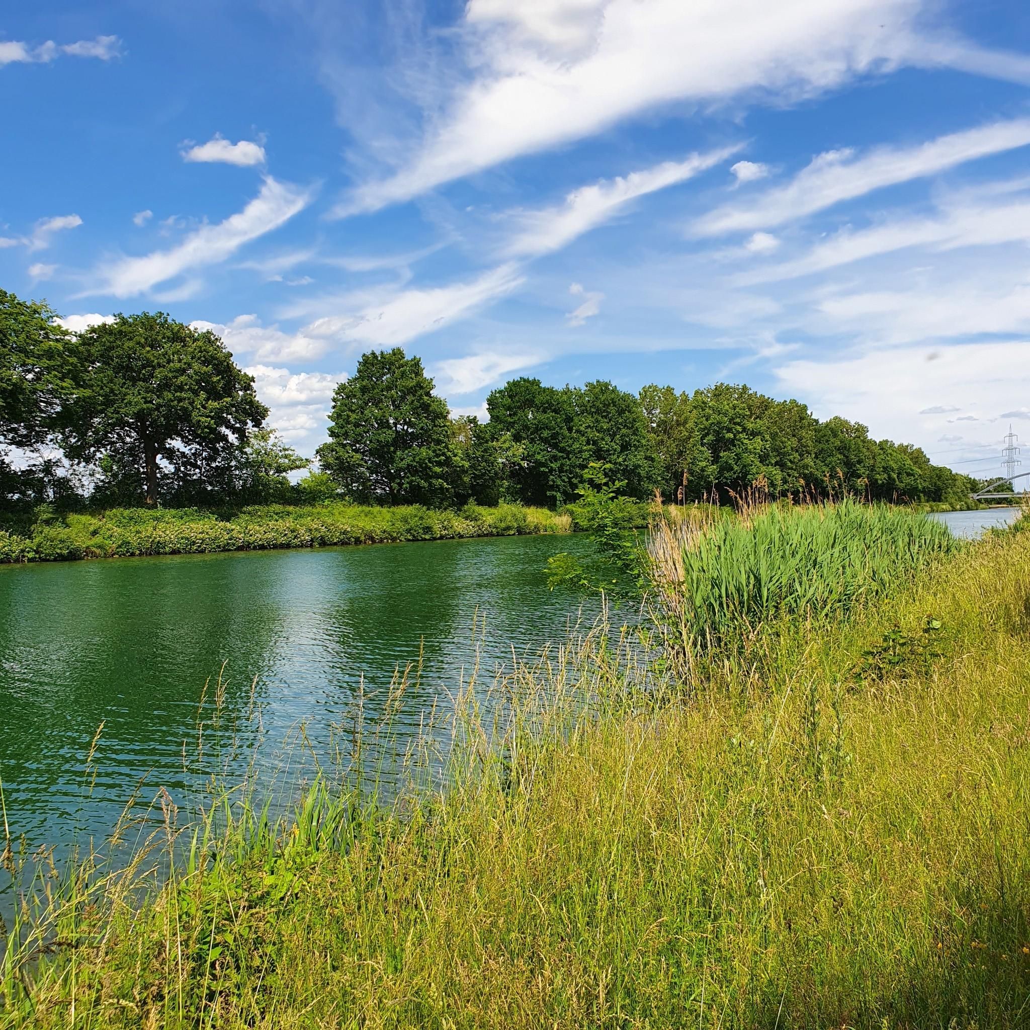
Tips from the Community

Spring with rest area with table and benches.
0
0
Source of the sulfur spring with adjacent rest area with table and benches near the spa basin.
0
0

Beautiful view of the surrounding area.
1
0
Rest stop with a bench, great view of the surrounding area. Beautiful distant view.
1
0

At this point, the highest point is reached and a reward follows in the form of the view on the ridge trail into the Auetal.
0
0

The island of Wilhelmstein is an artificially created island in the Steinhuder Meer. It was built in the 18th century by Wilhelm zu Schaumburg-Lippe as a fortress to protect and militarily secure the area. Today, the island is a popular excursion destination with a museum and offers visitors insights into its history as well as a special view over the lake.
1
0

You can eat very well 🥘 or just take a short break with coffee and cake 🍰 after hiking 🥾 in the Deister or cycling 🚴♂️
0
0

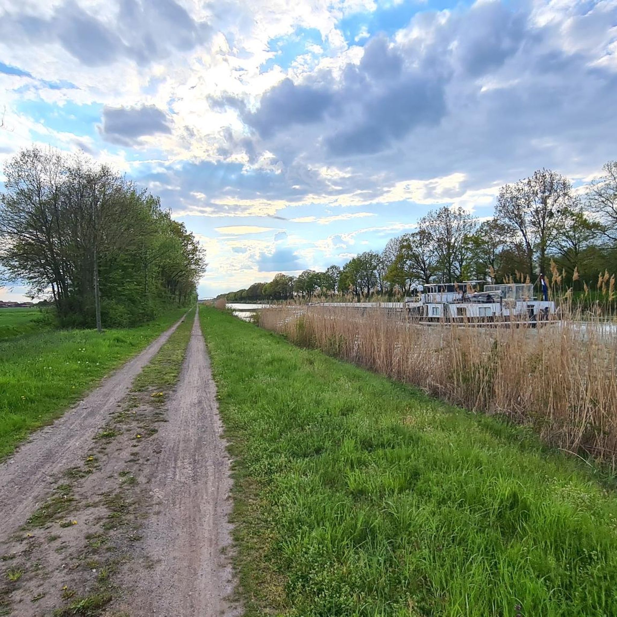
I always enjoy boating on the canal. Especially in the evenings when the weather is nice! It's quiet and not too crowded!
0
0
Frequently Asked Questions
How many gravel bike trails are available around Lüdersfeld?
There are over 50 gravel bike trails in the Lüdersfeld area, offering a wide range of options for different skill levels and preferences. The komoot community has explored more than 200 routes here.
Are there gravel routes suitable for beginners or families in the Lüdersfeld area?
Yes, Lüdersfeld offers several easy gravel routes perfect for beginners or family outings. A great option is the Lake Steinhude Circular Path – Wooden bridge at Hagenburg loop from Hagenburg, which is an easy 25.9 km trail with minimal elevation gain, ideal for a relaxed ride around the scenic Steinhuder Meer.
What kind of landscapes can I expect on gravel bike trails near Lüdersfeld?
The gravel trails around Lüdersfeld offer a diverse landscape. You'll ride through the varied terrain of the Schaumburger Land, encompassing open fields, extensive forests like the Schaumburger Wald, and areas close to the Steinhuder Meer. Some routes also venture towards the hilly Wesergebirge, providing a mix of surfaces and scenic views.
Are there any challenging gravel bike routes for experienced riders?
Absolutely. For experienced gravel bikers seeking a challenge, routes like the View of the Weser Uplands – Wierser Tor Signpost loop from Habichhorst-Blyinghausen offer a difficult 52.0 km path with significant elevation changes, providing scenic vistas across the Weser Uplands. Another demanding option is the Nienstedter Pass – View of the Calenberger Land loop from Bad Nenndorf, a 58.1 km difficult trail with expansive views.
What are some interesting landmarks or natural features to see along the gravel trails?
Many gravel trails in the region pass by interesting natural and cultural highlights. You might encounter picturesque gorges such as the Wolfsschlucht Gorge or the Gorge to the Small Quarry. The nearby Steinhuder Meer also offers observation towers for birdwatching and views of Wilhelmstein Island. Additionally, routes can incorporate cultural treasures like castles, mills, and garden parks.
Are there any circular gravel bike routes around Lüdersfeld?
Yes, many of the gravel bike routes around Lüdersfeld are designed as loops, allowing you to start and end at the same point. Examples include the Bad Nenndorf Spa Park – Belvedere Tower (Strutzberg Tower) loop from Bad Nenndorf, which is a 35.7 km circular trail, and the Lake Steinhude Circular Path.
What do other gravel bikers enjoy most about the trails in Lüdersfeld?
The gravel biking routes in Lüdersfeld are highly rated by the komoot community, with an average score of 4.8 stars from over 30 reviews. Riders frequently praise the varied terrain, which includes a mix of forests, open fields, and paths near the Steinhuder Meer, providing engaging and picturesque riding experiences.
Are there places to stop for refreshments or a break along the routes?
Yes, the region offers several spots for breaks and refreshments. You can find forest inns and shelters like the Mooshütte Forest Inn or the Brandshof Shelter. Additionally, towns like Steinhude and Bückeburg, often accessible from the trails, provide cafes and accommodation options.
Is Lüdersfeld a good destination for gravel biking in winter?
While the region offers diverse landscapes year-round, winter conditions can vary. Forest trails and unpaved paths might be muddy or icy. It's advisable to check local weather forecasts and trail conditions before heading out in winter. Some of the more established paths, especially around Steinhuder Meer, might be more accessible.
Can I bring my dog on the gravel bike trails around Lüdersfeld?
Many natural areas and trails in the Schaumburger Land are dog-friendly, especially if your dog is accustomed to cycling alongside you. However, it's always recommended to keep dogs on a leash, especially in nature reserves, agricultural areas, or where wildlife might be present. Please respect local regulations and other trail users.
Where can I find parking for gravel biking in Lüdersfeld?
Parking is generally available in and around Lüdersfeld, as well as at the starting points of many popular routes. For example, routes often begin near towns like Bad Nenndorf or Hagenburg, which typically have designated parking areas. It's advisable to check specific route descriptions on komoot for detailed parking information.
Are there any easy-to-access viewpoints on the gravel routes?
Yes, the region offers several viewpoints. For instance, the Bad Nenndorf Spa Park – Belvedere Tower (Strutzberg Tower) loop includes the Belvedere Tower (Strutzberg Tower), offering panoramic views. Additionally, the circular path around Steinhuder Meer provides various spots with views of the lake and Wilhelmstein Island.
Most popular routes around Lüdersfeld
Most popular attractions around Lüdersfeld

Get inspired with the komoot mobile app


Explore more
Browse the best Gravel rides in other regions.
