The best gravel rides around Malsburg-Marzell
4.4
(123)
678
riders
68
rides
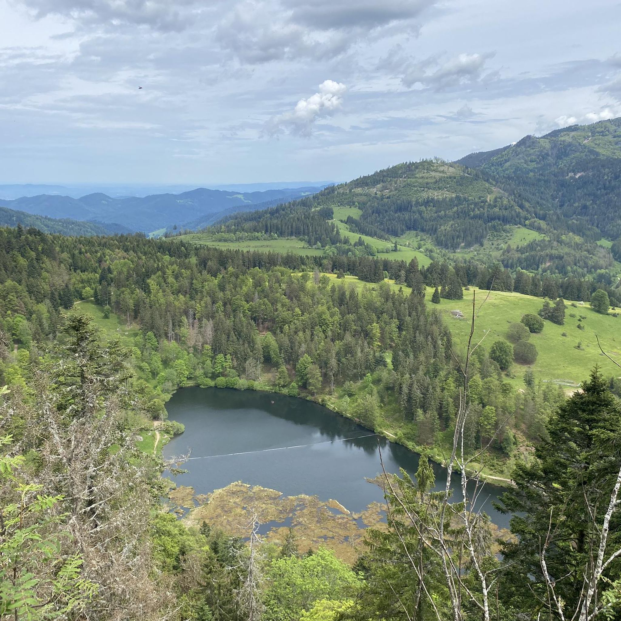
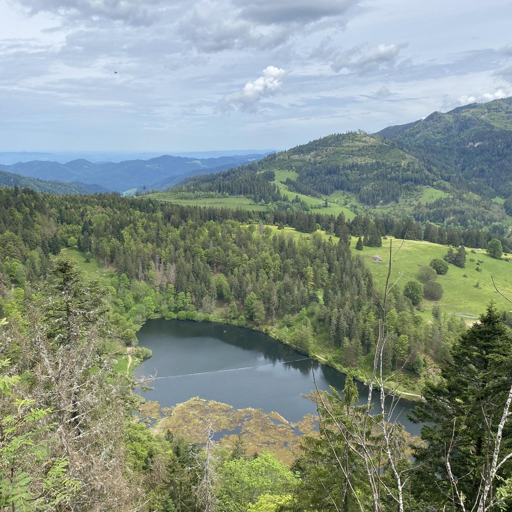
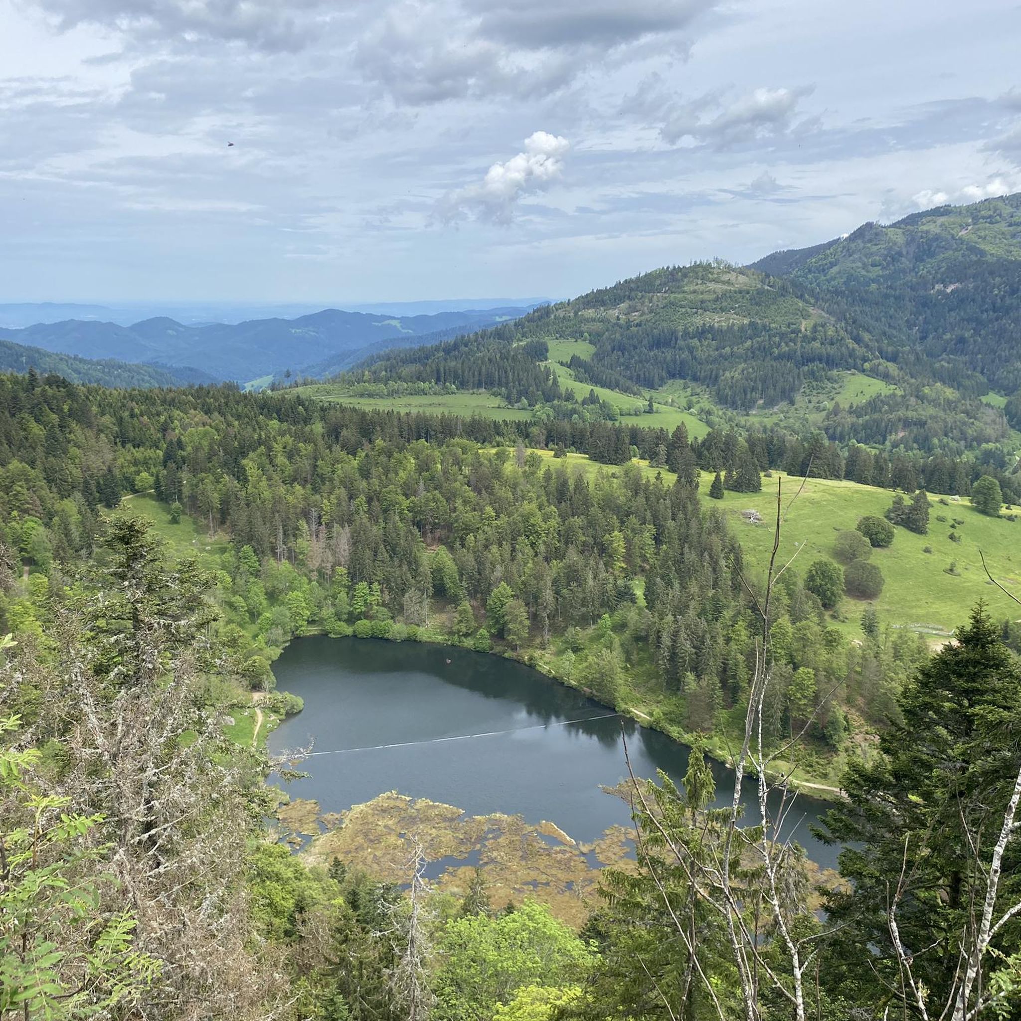
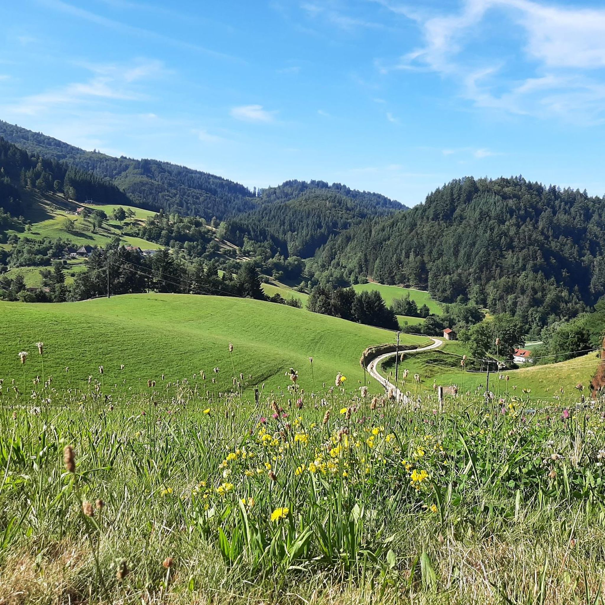
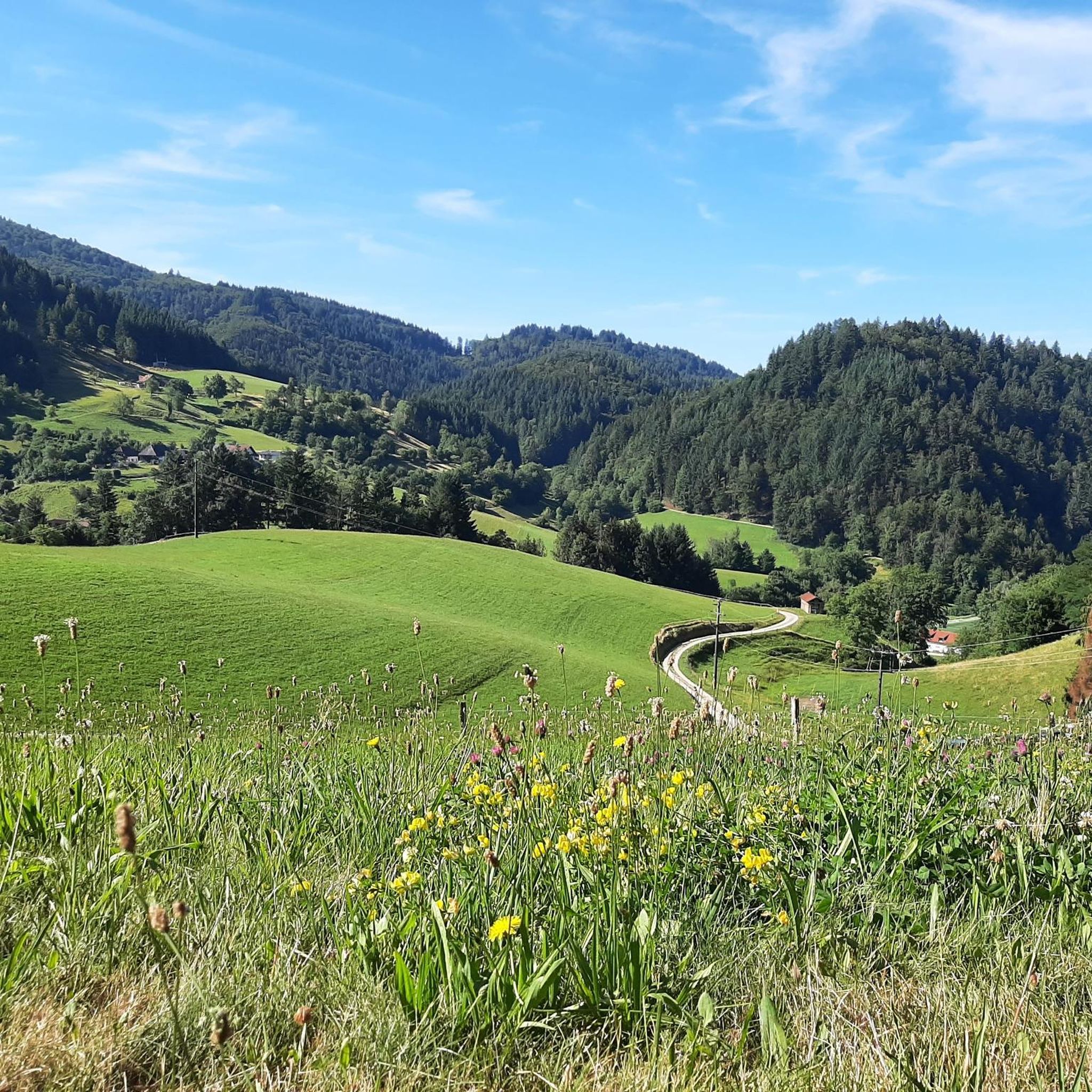
Gravel biking around Malsburg-Marzell offers diverse terrain in the Southern Black Forest, characterized by rolling hills, dense forests, and clear rivers. The region features a subalpine landscape with elevations ranging from approximately 429 to 1165 meters, providing varied topography for mixed-terrain cycling. The Kandertal valley further contributes to the appeal with its varied terrain, suitable for both on- and off-road experiences. This environment supports a network of paths ideal for gravel biking.
Best gravel bike trails around Malsburg-Marzell
- The most…
Last updated: July 13, 2026
3.8
(4)
14
riders
Hard gravel ride. Very good fitness required. Mostly paved surfaces. Suitable for all skill levels.
4.4
(5)
29
riders
29.1km
02:30
1,050m
1,050m
Hard gravel ride. Very good fitness required. Mostly paved surfaces. Suitable for all skill levels.

Sign up for free
2
riders
47.5km
04:11
1,480m
1,480m
Hard gravel ride. Very good fitness required. Mostly paved surfaces. Suitable for all skill levels.
3.0
(2)
14
riders
Hard gravel ride. Very good fitness required. You may need to push your bike for some segments of this route.
5.0
(4)
17
riders
58.9km
03:03
300m
310m
Moderate gravel ride. Good fitness required. Mostly paved surfaces. Suitable for all skill levels.
Get access to more routes and recommendations from other explorers.
Sign up for free
Already have an account?
Our route recommendations are based on thousands of hikes, rides, and runs completed by other people on komoot.
Start today with a free account
Your next adventure awaits.
Login or Signup

Tips from the Community

Clearly visible in good weather
0
0
Indescribable panoramic view. Best to admire the Alps from the tower in the early morning. I was speechless
0
0

great views over the Markgräfler Land. A detour into the Romanesque church is also recommended
0
0

Great bike path that leads along
0
0

🏰During the Franco-Dutch War, the castle was blown up by French troops under Marshal Créquy on April 6, 1678, and burned to the ground. It was never rebuilt and was used by the local population as a quarry for a time.
1
0
🏰 Badenweiler Castle (also known as Baden Castle) is the prominent landmark of the spa town, perched majestically above the spa gardens. It boasts a history spanning almost 900 years and offers one of the most spectacular viewpoints in the Markgräflerland region.
1
0

What a beautiful route through the vineyards
1
0
Frequently Asked Questions
How many gravel bike trails are available around Malsburg-Marzell?
There are over 100 gravel bike routes in the Malsburg-Marzell area, offering a wide range of options for different skill levels and preferences.
What kind of terrain can I expect on gravel bike trails in Malsburg-Marzell?
The terrain around Malsburg-Marzell is characterized by rolling hills, dense forests, and clear rivers, providing a scenic backdrop for mixed-terrain cycling. You'll find paths suitable for both on- and off-road experiences, with significant ascents to prominent features like Hochblauen.
Are there challenging gravel bike routes in Malsburg-Marzell?
Yes, Malsburg-Marzell offers many challenging routes. Over half of the available gravel bike trails are rated as difficult, including routes with significant elevation gains. For example, the Isteiner Schwellen – Istein Rapids loop from Schweighof is a demanding 73.9-mile trail with considerable climbing.
What are some scenic viewpoints or natural features I can explore on a gravel bike?
Many routes offer panoramic views, especially from higher elevations. The Hochblauen mountain, at 1165 meters, provides magnificent views across the Rhine Plain and even to the Alps on clear days. You can also visit the serene Nonnenmatt Pond, a moor lake with unique floating islands, or explore the 'jungle-like' Wolfsschlucht Gorge near Kandern with its bizarre rock formations.
Are there any family-friendly gravel biking options in Malsburg-Marzell?
While many routes are moderate to difficult, there are a few easier options available. These typically feature less elevation gain and shorter distances, making them more suitable for families or beginners looking for a gentler ride through the scenic landscape.
What do other gravel bikers enjoy most about the trails in Malsburg-Marzell?
The trails in Malsburg-Marzell are highly rated by the komoot community, with an average score of 4.4 stars from over 140 reviews. Riders often praise the diverse terrain, the beautiful forest sections, and the panoramic views from ascents like Hochblauen, highlighting the region's appeal for mixed-terrain cycling.
Can I find circular gravel bike routes in the area?
Yes, many of the gravel bike trails around Malsburg-Marzell are designed as loops, allowing you to start and finish at the same point. An example is the Scheideck – Karl Scheitlin Hut loop from Waldparkplatz Scheideck, which takes you through dense forests and over gentle hills.
What is the best time of year for gravel biking in Malsburg-Marzell?
The region is generally enjoyable for gravel biking from spring through autumn. During these seasons, the weather is typically mild, and the natural landscapes are vibrant. While winter riding is possible, be aware that higher elevations and shaded forest paths might have snow or ice, requiring appropriate gear and caution.
Are there any historical or cultural attractions along the gravel routes?
Yes, you can integrate cultural stops into your rides. Notable attractions include the 13th-century Bürgeln Castle and the 18th-century Church of St. Peter and Paul with its Baroque interior. The area also features the highest castle site in Baden-Württemberg, Stockburg Castle, southeast of Hochblauen, offering historical points of interest amidst the natural beauty.
Where can I find parking for gravel bike trails in Malsburg-Marzell?
Many trailheads and popular starting points, especially those leading into forested areas or near villages, offer designated parking facilities. For instance, the Scheideck – Karl Scheitlin Hut loop starts from Waldparkplatz Scheideck, indicating a forest parking area.
Are there any routes that lead to the summit of Blauen?
Yes, you can find routes that ascend to the summit of Blauen, offering rewarding views. The Giant Bench at Langenebene Hut – Summit of Blauen loop from Kandern is a challenging route that takes you to the Summit of Blauen.
What is the typical duration of gravel bike routes in this region?
Route durations vary significantly based on distance and difficulty. While some shorter, difficult routes like the Scheideck – Karl Scheitlin Hut loop can be completed in about 2 hours, longer and more challenging trails, such as the Isteiner Schwellen – Istein Rapids loop, can take over 8 hours.
Most popular routes around Malsburg-Marzell
Most popular attractions around Malsburg-Marzell

Get inspired with the komoot mobile app


Explore more
Browse the best Gravel rides in other regions.
