The best gravel rides around Sevenig (Our)
4.5
(5)
53
riders
20
rides
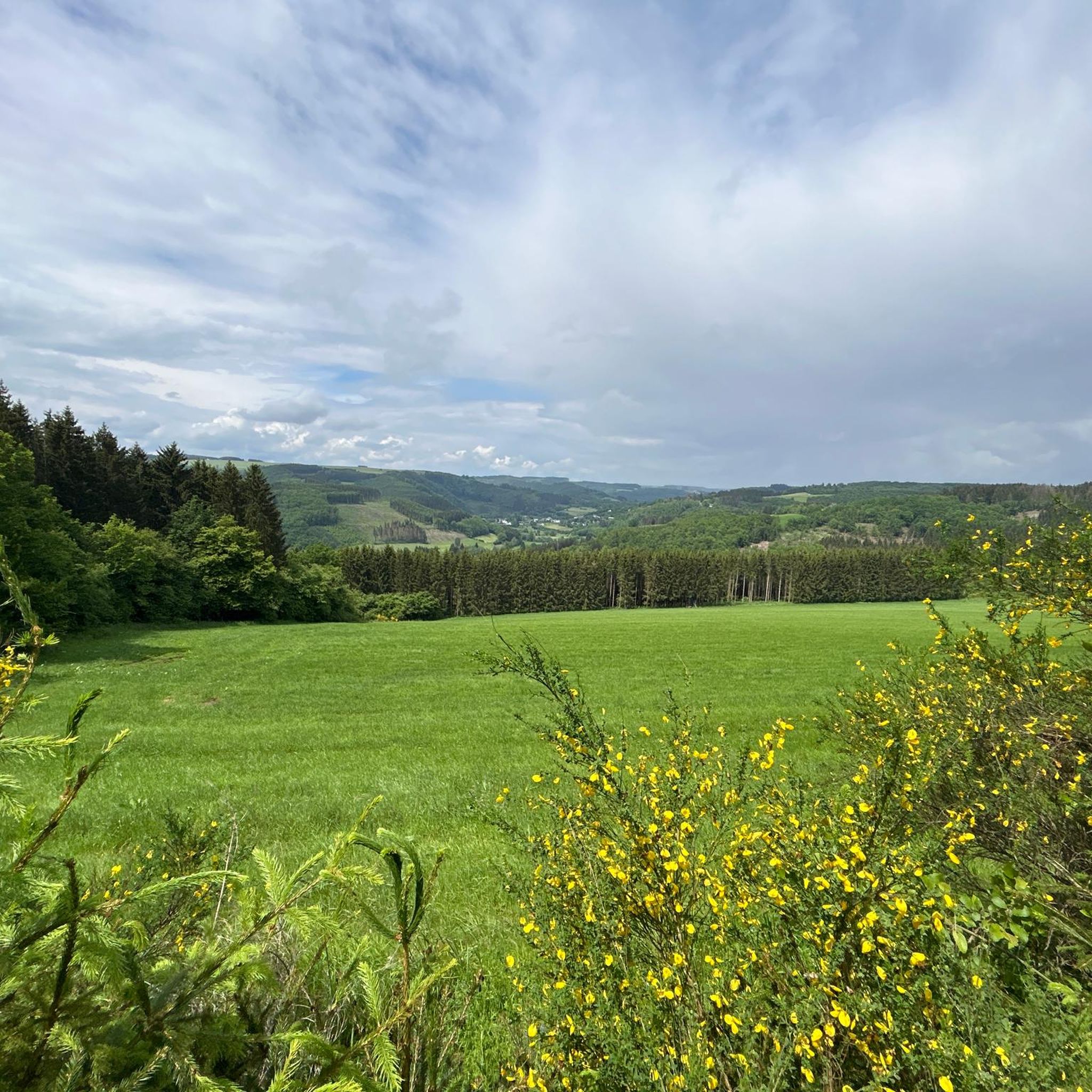
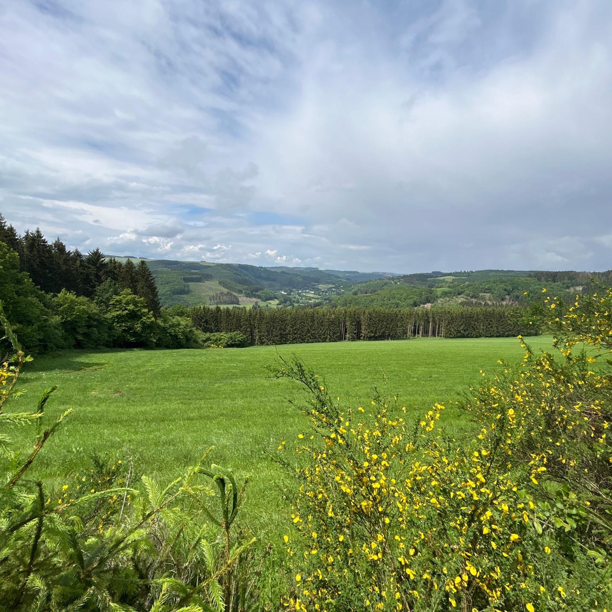
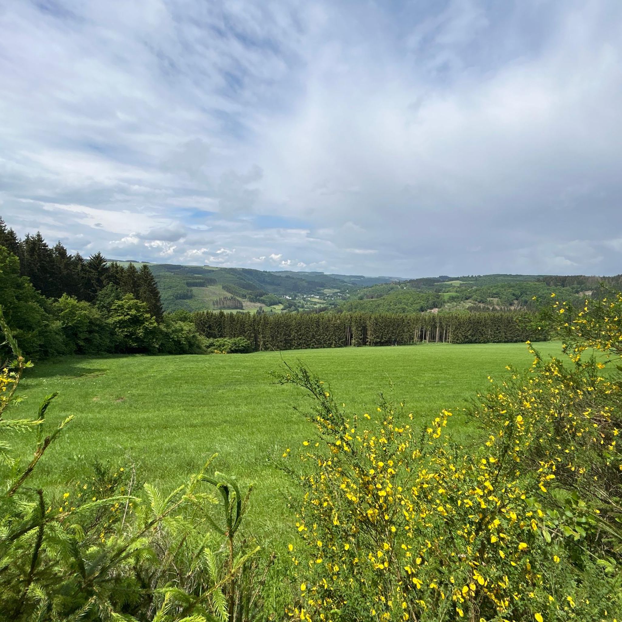
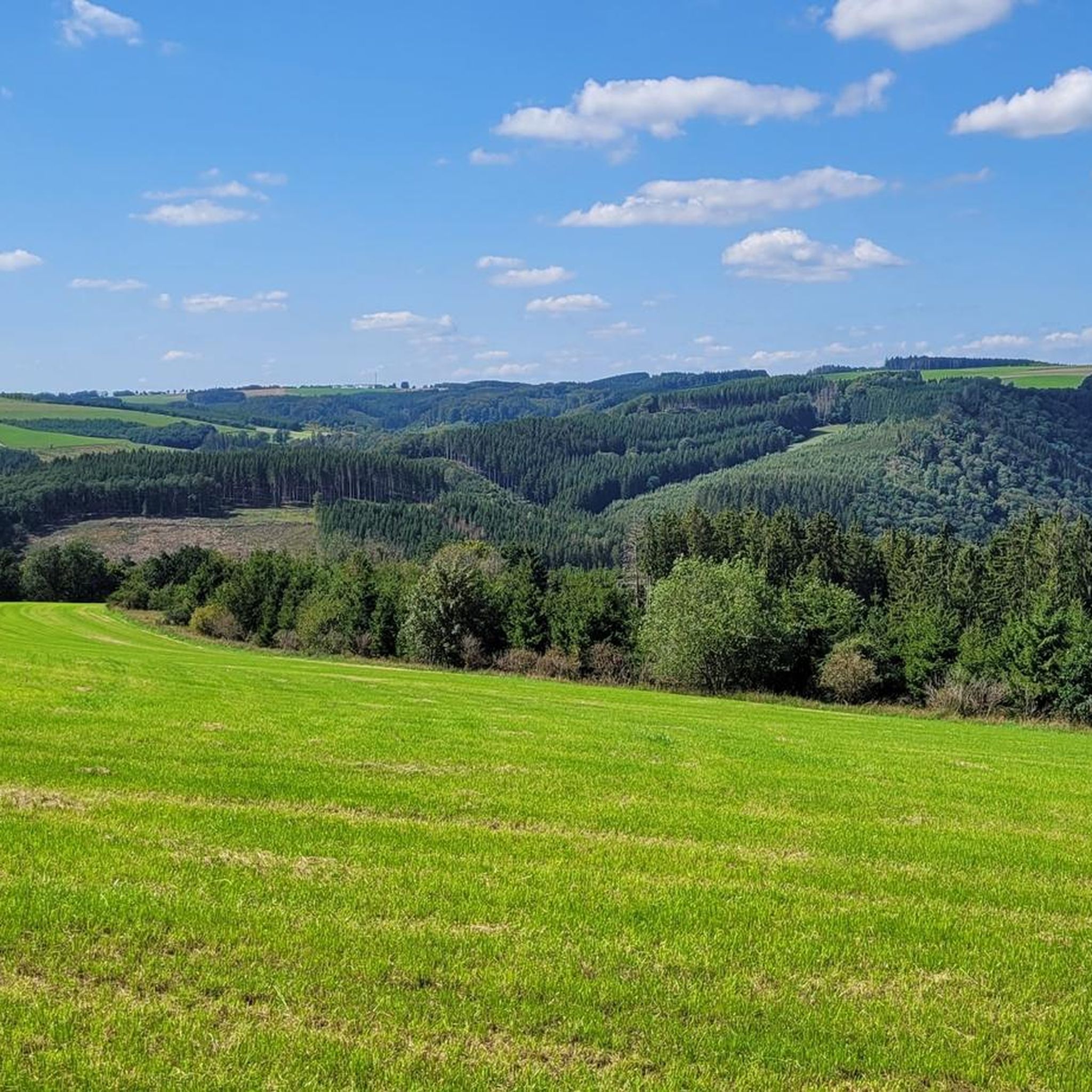
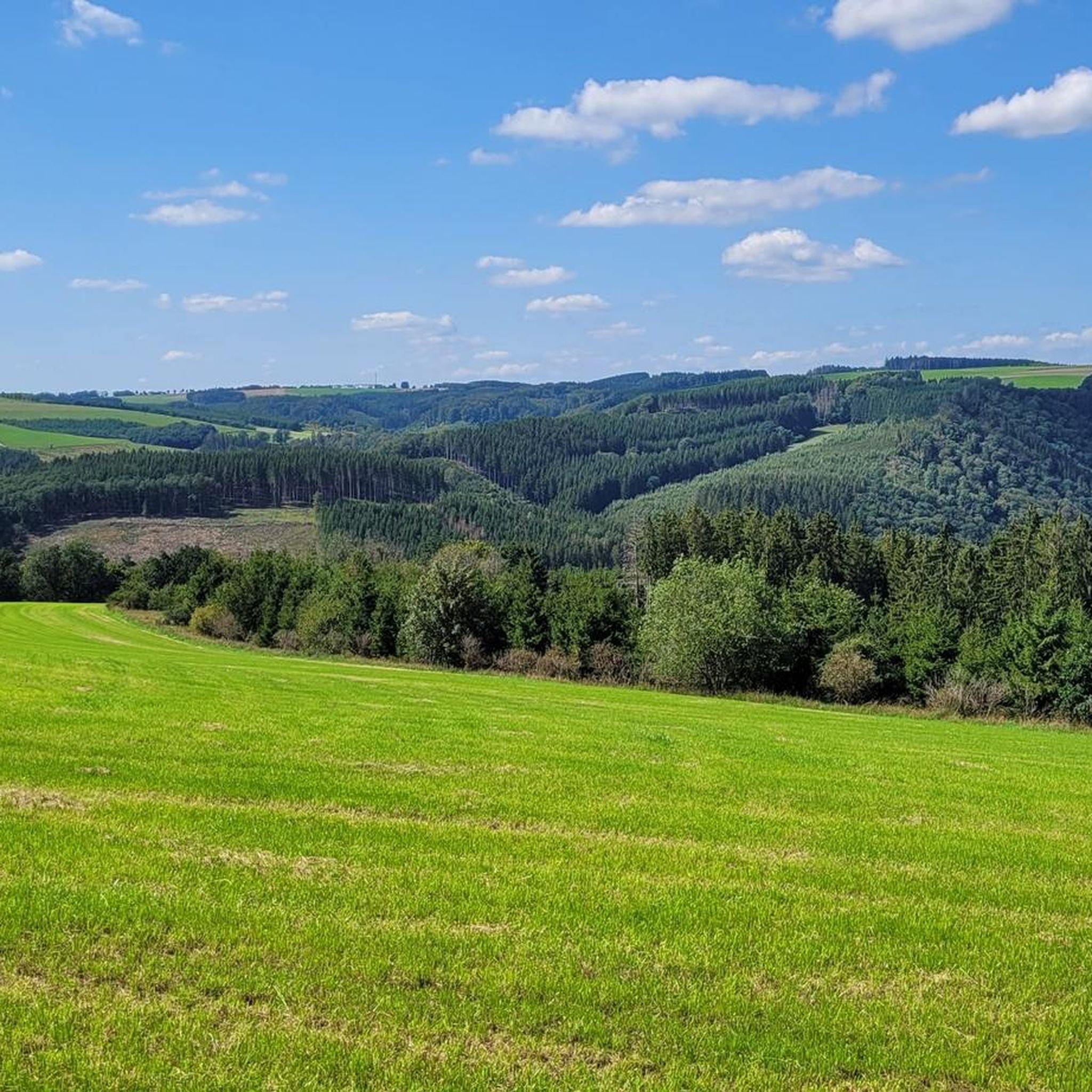
Gravel biking around Sevenig (Our) offers diverse terrain within the Naturpark Südeifel, characterized by rugged beauty. The region features light deciduous forests, rolling hills, and the narrow, steep Ourtal (Our Valley), providing varied landscapes for cycling. Cyclists can expect unpaved forest roads and agricultural tracks, with significant elevation changes that offer both challenging climbs and scenic descents. This topography makes Sevenig (Our) particularly appealing for advanced gravel bikers seeking a demanding experience.
Best gravel bike trails around Sevenig (Our)
- The…
Last updated: May 21, 2026
4.5
(2)
13
riders
43.3km
02:58
670m
660m
Hard gravel ride. Very good fitness required. Mostly paved surfaces. Suitable for all skill levels.
5
riders
80.2km
05:47
1,100m
1,100m
Hard gravel ride. Very good fitness required. You may need to push your bike for some segments of this route.

Sign up for free
8
riders
49.1km
03:18
610m
610m
Hard gravel ride. Very good fitness required. Mostly paved surfaces. Suitable for all skill levels.
5.0
(2)
7
riders
41.9km
02:47
690m
690m
Hard gravel ride. Very good fitness required. Mostly paved surfaces. Suitable for all skill levels.
8
riders
26.5km
01:48
330m
330m
Moderate gravel ride. Good fitness required. Mostly paved surfaces. Suitable for all skill levels.
Get access to more routes and recommendations from other explorers.
Sign up for free
Already have an account?
Our route recommendations are based on thousands of hikes, rides, and runs completed by other people on komoot.
Start today with a free account
Your next adventure awaits.
Login or Signup
Tips from the Community

Today on Pentecost Sunday, there was a high turnout at 30°
4
0
The gradient also remains within limits
3
0

At this point there is an e-bike charging station. However, without sockets. Instead, two proprietary plugs. Well-intentioned is also not well done here.
0
0
The path is marked as passable by bike. Depending on the weather conditions, it is not an entirely easy path to ride.
0
0

You can go up on the left or right (depending on the direction of travel) and onto the bridge. Worth it for a short break or lunch
0
0

The Rocher de Bistain is a striking slate and sandstone outcrop near the village of Bistain (Gouvy), situated at the confluence of the Ourthe Orientale and the Ruisseau de Rettigny rivers. It is a tranquil nature reserve with reptiles and historically interesting due to its former Celtic settlement.
0
0

A beautifully designed hut with benches and tables for a short break. Great views in good weather. They've even included a birdhouse. Very nice...👍
0
0

Huldange is a village in the municipality of Troisvierges in the north of the Grand Duchy of Luxembourg with 351 inhabitants. Near Huldange are the two highest elevations in the country: Kneiff at 560 m above sea level and Burrigplatz at 558 m above sea level. The tall water tower stands on Burrigplatz.
2
0
Frequently Asked Questions
How many gravel bike trails are available around Sevenig (Our)?
There are over 20 gravel bike trails to explore around Sevenig (Our). These routes cater to various skill levels, from moderate to difficult, offering a diverse range of experiences within the Naturpark Südeifel.
What kind of terrain can I expect on gravel bike trails in Sevenig (Our)?
The terrain around Sevenig (Our) is characterized by its rugged beauty, featuring light deciduous forests and the steep Ourtal (Our Valley). You can expect a mix of challenging ascents and picturesque trails, with surfaces varying from mostly paved sections to more unpaved, rugged paths. Some routes may even require pushing your bike on certain segments due to their difficulty.
Are there options for less experienced gravel bikers in Sevenig (Our)?
Yes, while many routes are challenging, there are options suitable for those with good fitness but perhaps less advanced riding skills. For instance, the Weiswampach Lake – Weiswampach Lake loop from Weiswampach is a moderate route that offers a scenic ride without the extreme demands of some of the more difficult trails.
What do other gravel bikers enjoy most about the trails in Sevenig (Our)?
The gravel biking routes in Sevenig (Our) are highly rated by the komoot community, with an average score of 4.8 stars from more than 10 reviews. Riders often praise the diverse terrain, the challenging ascents, and the stunning views of the Eifel Hills and the Our Valley. The combination of natural beauty and varied trails makes it a popular destination.
Are there any circular gravel bike routes in the area?
Yes, many of the gravel bike routes around Sevenig (Our) are designed as loops, allowing you to start and finish at the same point. Examples include the popular View of the Eifel Hills – The Our loop from Weiswampach and the Hill at Wilwerdange – Tree Tunnel loop from Weiswampach.
What natural features or landmarks can I see while gravel biking around Sevenig (Our)?
The region is rich in natural beauty. You can encounter the narrow, steep Ourtal (Our Valley), light deciduous forests, and significant natural monuments like the Kneiff Hill, which is the highest point in Luxembourg. You might also pass by serene bodies of water such as Lake Weiswampach or the Arzfeld Reservoir.
Can I visit any historical sites or cultural attractions on a gravel bike tour?
Absolutely. The area around Sevenig (Our) integrates historical and cultural points of interest into its routes. You might find yourself cycling past prominent landmarks like Vianden Castle, the European Monument at the Border Triangle, or artistic installations known as Nat'Our Sculptures. The Vennbahn Rail Trail – View of Burg Reuland loop from Weiswampach, for example, leads through historic rail trail sections.
Are there any routes that feature lakes or water bodies?
Yes, several routes offer views of lakes and reservoirs. The Weiswampach Lake – Weiswampach Lake loop from Weiswampach directly circles Lake Weiswampach. You can also find highlights like the Natural Pool With Small Waterfall and viewpoints overlooking the Arzfeld Reservoir.
What is the best time of year for gravel biking in Sevenig (Our)?
The region is generally enjoyable for gravel biking from spring through autumn. The light deciduous forests offer beautiful scenery during these seasons. While winter conditions can be challenging due to potential snow and ice, the varied terrain can still be explored by experienced riders, though extra caution is advised.
Is it possible to find parking near the gravel bike trails?
Yes, parking is generally available near popular starting points for gravel bike trails in the Sevenig (Our) area. Many routes begin from towns like Weiswampach or Heinerscheid, where you can typically find designated parking areas suitable for cyclists.
Are there any particularly long or challenging gravel bike routes for advanced riders?
For advanced riders seeking a significant challenge, the Hill at Wilwerdange – Tree Tunnel loop from Weiswampach is a difficult 49.8-mile (80.1 km) path with over 1100 meters of elevation gain. This route demands very good fitness and advanced riding skills, winding through scenic tree tunnels and varied, rugged terrain.
Can I access the gravel trails using public transport?
While direct access to every trailhead via public transport might be limited in this rural region, some starting points in larger villages or towns near Sevenig (Our) may be reachable by bus, allowing you to connect to the gravel biking network. It's advisable to check local public transport schedules for specific connections to towns like Weiswampach or Heinerscheid.
Most popular routes around Sevenig (Our)
Most popular attractions around Sevenig (Our)

Get inspired with the komoot mobile app


Explore more
Browse the best Gravel rides in other regions.
