The best gravel rides around Ahorntal
4.6
(74)
288
riders
44
rides
Gravel biking around Ahorntal offers diverse landscapes within Franconian Switzerland, characterized by rugged rock formations overlooking the Ailsbach Valley, alongside wide valleys, meadows, and dense forests. This varied terrain provides a compelling backdrop for gravel biking enthusiasts. The region features a mix of paved surfaces and unpaved segments, making it suitable for the robust frames and wider tires of gravel bikes. Routes often include challenging sections where cyclists might need to push their bikes, ensuring an adventurous experience.
Best gravel…
Last updated: October 6, 2026
4.5
(14)
28
riders
32.4km
02:19
360m
360m
Moderate gravel ride. Good fitness required. Mostly paved surfaces. Suitable for all skill levels.
4.8
(5)
31
riders
41.7km
02:36
350m
350m
Hard gravel ride. Good fitness required. You may need to push your bike for some segments of this route.

4.4
(8)
36
riders
Hard gravel ride. Very good fitness required. Mostly paved surfaces. Suitable for all skill levels.
4.4
(5)
20
riders
46.2km
02:47
430m
430m
Moderate gravel ride. Good fitness required. Mostly paved surfaces. Suitable for all skill levels.
13
riders
56.8km
04:01
1,170m
1,170m
Hard gravel ride. Very good fitness required. Mostly paved surfaces. Suitable for all skill levels.
Get access to more routes and recommendations from other explorers.
Already have an account?
Our route recommendations are based on thousands of hikes, rides, and runs completed by other people on komoot.
Start today with a free account
Your next adventure awaits.
Popular around Ahorntal
Ultratrail Fränkische Schweiz – 2 Days Burgen, Wälder, Trails
Hikes for tiny boots – VGN recreational activities for families
Franconian Switzerland — on the trace of the Purity Law
Hiking around Ahorntal
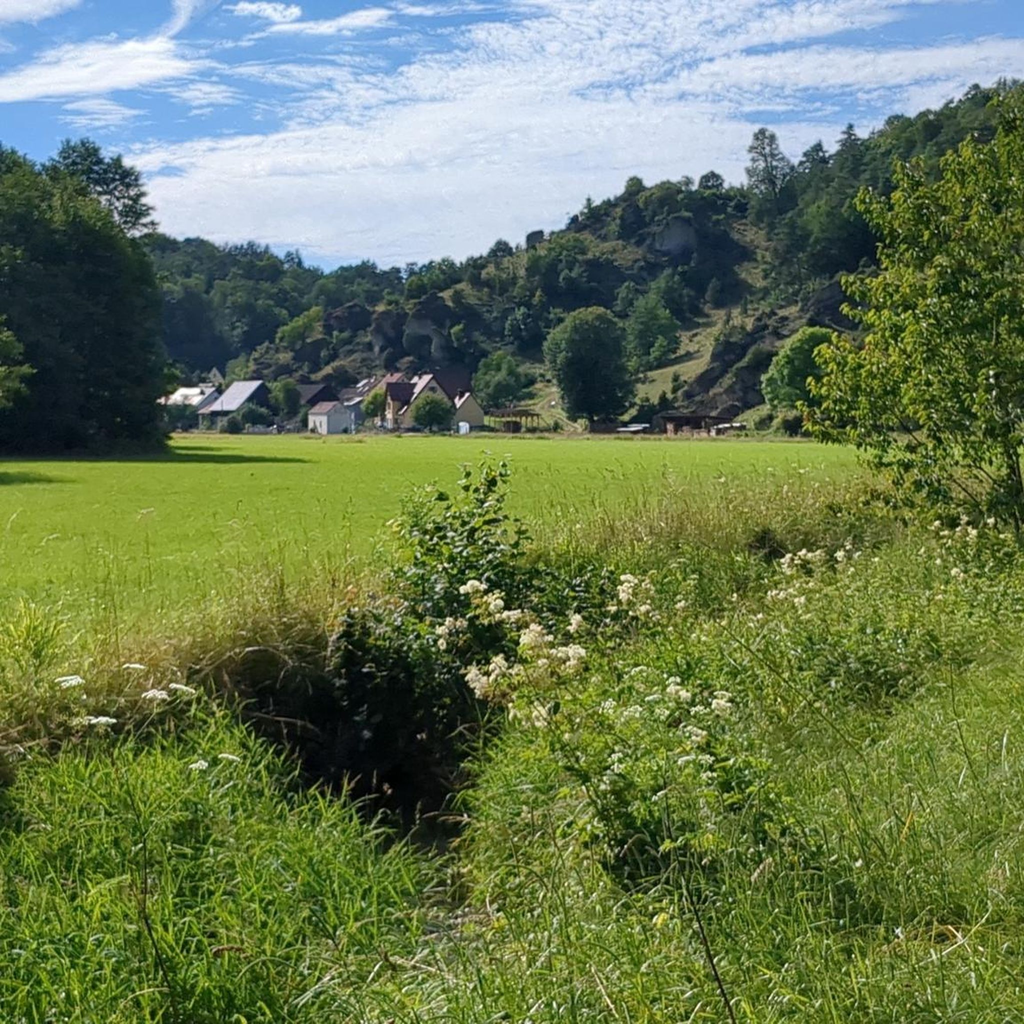
Cycling around Ahorntal
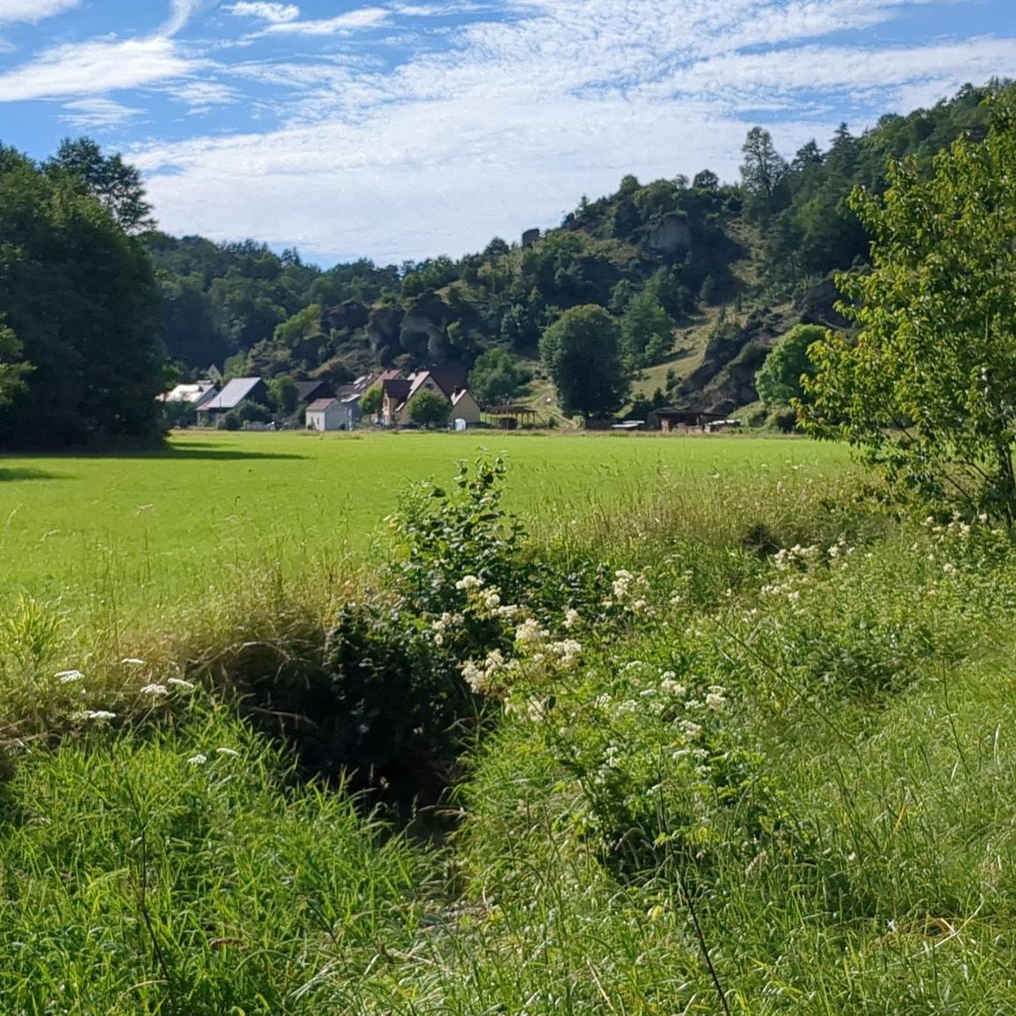
Road Cycling Routes around Ahorntal
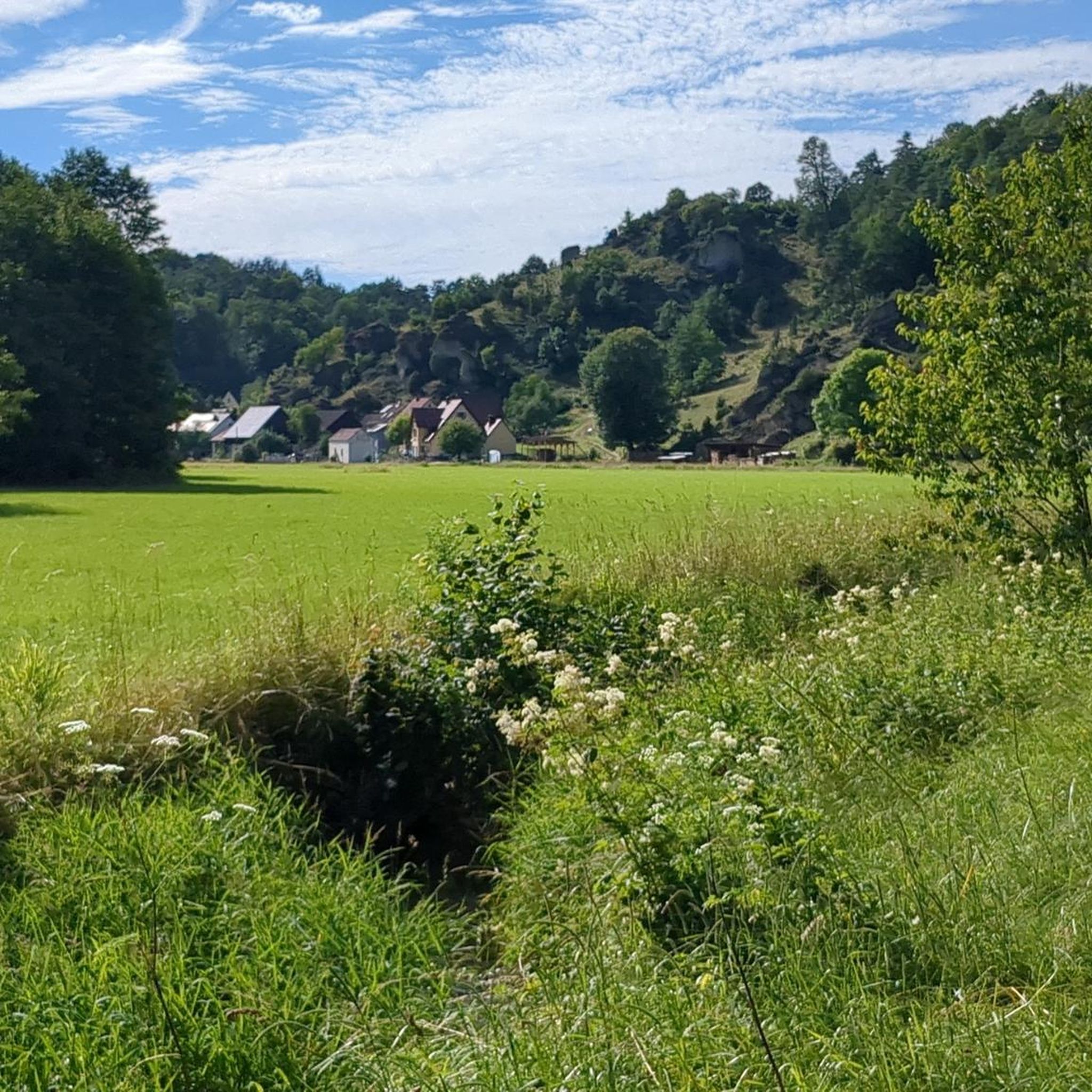
MTB Trails around Ahorntal
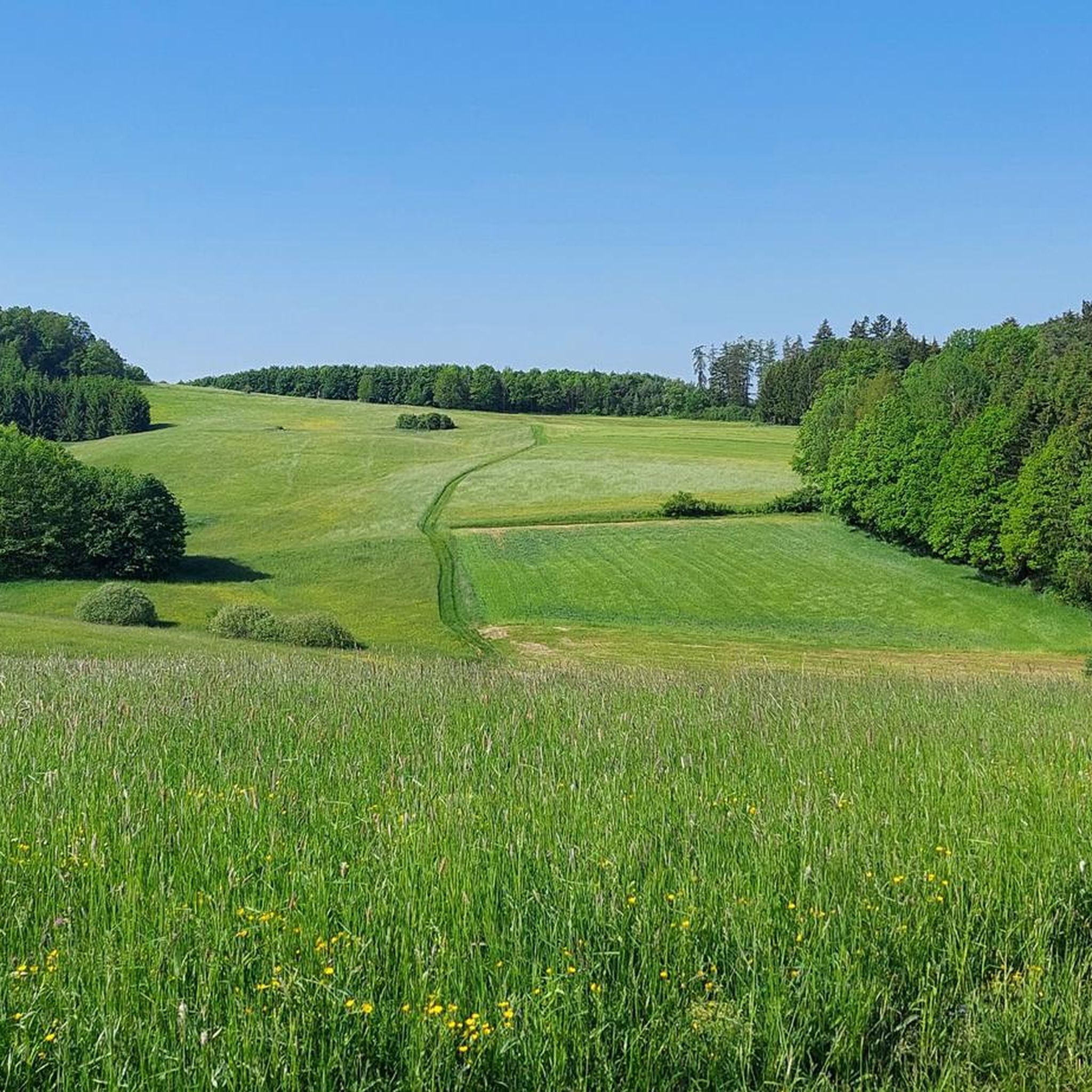
Running Trails around Ahorntal
Mountain Hikes around Ahorntal
Other adventures around Ahorntal


Tips from the Community

Anyone who follows the Wiesent downstream from the historic Eichenmühle mill experiences one of the most untouched and picturesque sections of the entire valley. This section of the trail combines spectacular geology, centuries-old cultural history, and a vibrant river ecosystem in a confined space and is best explored on foot or by bike on the paved, natural farm track. The adventure begins directly below the old mill property at the Truppach confluence. Here, the upper Wiesent valley celebrates a small, quiet river spectacle when the Truppach, coming from the direction of Obernsees, joins from the left. Framed by dense alder stands and willows, the confluence area has an almost enchanted atmosphere. Looking back from the small Truppach bridge, you are offered a fantastic panorama: in the foreground, the water merges, while in the background, the historic half-timbered mill and the imposing dolomite walls rise up. Continuing along the river course in the shade of these mighty, bright rock formations, you reach the historic river weir on the Wiesent. Where the water now gently babbles over the barrier, the economic heart of the valley once beat. For centuries, the weir regulated the water level for the so-called "Wässerwiesen" – a sophisticated irrigation system that is now a UNESCO World Heritage site. At the same time, the facility was used for fishing, which is reflected in the name of the subsequent hamlet, Aalkorb. The designation, over a thousand years old, goes back to wooden fish traps that were hung in the flowing Wiesent at precisely these weirs. Today, the former barrier has been ecologically redesigned so that rare fish species such as the brown trout can once again easily pass the obstacle on their migrations. Behind the weir, the valley widens slightly, and the path leads along striking, vertical climbing rocks directly into the elongated district of Waischenfeld, Nankendorf. Here, the Wiesent flows quietly and peacefully through the village, past old willows, and invites you to stop for a well-deserved refreshment after an eventful passage through nature.
4
0


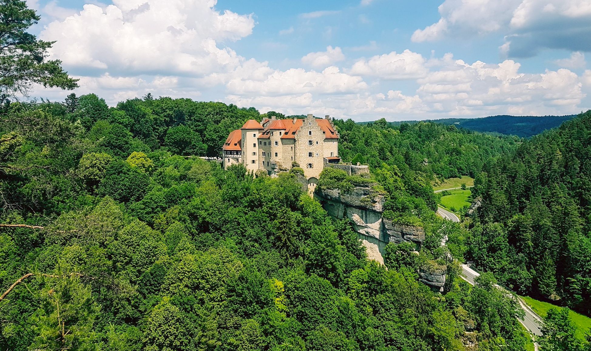
beautiful view of the castle, beautiful differently in every light
0
0


Burg Egloffstein is a former high medieval noble castle immediately west of the eponymous town of Egloffstein in the Forchheim district of Upper Franconia, Bavaria.
0
0
The cycle path between Hollfeld and Stechendorf is officially known as the Franconian Switzerland High Trail. The path follows the former railway line between Bayreuth and Hollfeld, which was closed in 1974. Thanks to the use of the old railway line, the route is largely flat and gently sloping. From Hollfeld, the path leads along the Wiesent Valley towards Stechendorf and on to Bayreuth. It is often also referred to as a leisure cycle path or a railway line path.
2
0

Very striking, unusual rock formation
0
0

Located directly on the road, goat enclosure where you can also feed, you have to be patient to see
0
0
Frequently Asked Questions
How many gravel bike trails are available in Ahorntal?
Ahorntal offers a wide selection of gravel bike trails, with over 60 routes available for exploration. These routes cater to various skill levels, from moderate to difficult, ensuring an adventurous experience for all.
What are the typical difficulty levels for gravel biking in Ahorntal?
The gravel biking routes in Ahorntal range from moderate to difficult. Many routes feature a mix of paved surfaces and unpaved segments, with some challenging sections where you might even need to push your bike. For example, the Wiesent Valley Cycle Path – The beautiful Wiesent Trail loop from Gößweinstein is considered difficult, while the Aufseßtal Valley – Wiesent Riverside Trail loop from Waischenfeld is a moderate option.
What kind of natural features and landscapes can I expect to see while gravel biking in Ahorntal?
Ahorntal is characterized by diverse landscapes within Franconian Switzerland. You'll encounter rugged rock formations, particularly in the narrow Ailsbach Valley, alongside wide, peaceful valleys, lush meadows, and dense forests. The region is known for its 'natural paradise' status, offering stunning scenery throughout your ride.
Are there any historical landmarks or attractions along the gravel bike routes?
Yes, several routes pass by notable landmarks. For instance, the Riese Fountain on the Neubürg – Rabenstein Castle loop from Waischenfeld takes you past the historic Burg Rabenstein, which majestically overlooks the Ailsbach Valley. Another route, the Rabenstein Castle – Sophien Cave loop from Waischenfeld, allows you to explore the vicinity of Rabenstein Castle and the famous Sophienhöhle, one of Germany's most beautiful stalactite caves.
Are there any circular gravel bike routes in the Ahorntal area?
Yes, many gravel bike routes in Ahorntal are designed as loops, offering convenient starting and ending points. Examples include the Wiesent Valley Cycle Path – The beautiful Wiesent Trail loop from Gößweinstein, the Aufseßtal Valley – Wiesent Riverside Trail loop from Waischenfeld, and the View of Pottenstein – The beautiful Upper Püttlach Valley loop from Pottenstein.
What do other gravel bikers say about the trails in Ahorntal?
The gravel biking routes in Ahorntal are highly rated by the komoot community, with an average score of 4.7 stars from over 70 reviews. Cyclists often praise the varied terrain, the stunning natural scenery, and the adventurous experience offered by the mix of paved and unpaved paths.
Are there any routes that pass by waterfalls in Ahorntal?
While Ahorntal itself is known for its rock formations, the wider region of Franconian Switzerland does feature waterfalls. You can find highlights like the Devil’s Hole Waterfalls and the Wedenbach tufa terraces and waterfall nearby. While not directly on the listed gravel routes, these can be explored as separate highlights or incorporated into custom tours.
What is the best time of year for gravel biking in Ahorntal?
Ahorntal is an excellent destination for outdoor activities throughout much of the year. The tranquil setting, often accompanied only by the sounds of birds, suggests that spring, summer, and early autumn offer pleasant conditions for gravel biking, allowing you to fully enjoy the lush meadows and dense forests.
Are there options for shorter or longer gravel bike rides in Ahorntal?
Yes, Ahorntal offers a good range of route lengths. For a shorter ride, consider the Rabenstein Castle – Sophien Cave loop from Waischenfeld, which is about 9.8 km (6.1 miles) long. For longer adventures, routes like the Wiesent Valley Cycle Path – The beautiful Wiesent Trail loop from Gößweinstein span nearly 47.4 km (29.5 miles).
Can I find places to eat or drink along the gravel bike trails in Ahorntal?
While specific cafes or pubs directly on every trail are not detailed, the region's popularity for outdoor activities suggests that towns and villages along the routes, such as Pottenstein or Waischenfeld, will offer opportunities for refreshments. The area is known for its recreational appeal, making it likely to find local establishments.
Is Ahorntal accessible by public transport for cyclists?
The region is well-regarded for its accessibility for outdoor enthusiasts. While specific public transport links directly to every trailhead are not provided, major towns in Franconian Switzerland often have bus connections. For detailed information on public transport options to Ahorntal, it's advisable to check local transport schedules or the Frankentourismus website.
Are there any less crowded gravel bike routes for a more tranquil experience?
Ahorntal is known for its tranquil and natural setting, where you can often be accompanied only by the sounds of birds or distant church bells. While specific 'less crowded' routes are not explicitly identified, exploring some of the moderate-difficulty trails or those slightly off the main tourist hubs might offer a more peaceful experience. The region's charm lies in its ability to provide quiet moments amidst nature.
Most popular routes around Ahorntal
Most popular attractions around Ahorntal

Get inspired with the komoot mobile app


Explore more
Browse the best Gravel rides in other regions.
