The best gravel rides around Kasendorf
4.4
(18)
90
riders
36
rides
Gravel biking around Kasendorf offers diverse landscapes characterized by undulating terrain and a network of cycling routes. Situated at the northern gateway to Franconian Switzerland, the region features varied elevation changes, from gentle slopes to more challenging climbs, encompassing upper plateaus and lower valley areas. This landscape provides a mix of open areas, picturesque hills, expansive forests, and meandering waterways, suitable for gravel cycling. The varied terrain includes both challenging ascents and scenic, flatter sections, ideal for exploring Kasendorf gravel…
Last updated: October 20, 2026
4.8
(6)
37
riders
43.3km
02:36
350m
350m
Hard gravel ride. Good fitness required. You may need to push your bike for some segments of this route.
4.7
(3)
10
riders
46.0km
03:09
610m
610m
Hard gravel ride. Very good fitness required. You may need to push your bike for some segments of this route.

11
riders
29.2km
01:48
280m
280m
Moderate gravel ride. Good fitness required. Mostly paved surfaces.
5.0
(2)
4
riders
43.7km
02:41
410m
410m
Hard gravel ride. Good fitness required. You may need to push your bike for some segments of this route.
4.0
(3)
7
riders
24.1km
01:42
330m
330m
Moderate gravel ride. Good fitness required. Mostly paved surfaces.
Get access to more routes and recommendations from other explorers.
Already have an account?
Our route recommendations are based on thousands of hikes, rides, and runs completed by other people on komoot.
Start today with a free account
Your next adventure awaits.
Popular around Kasendorf
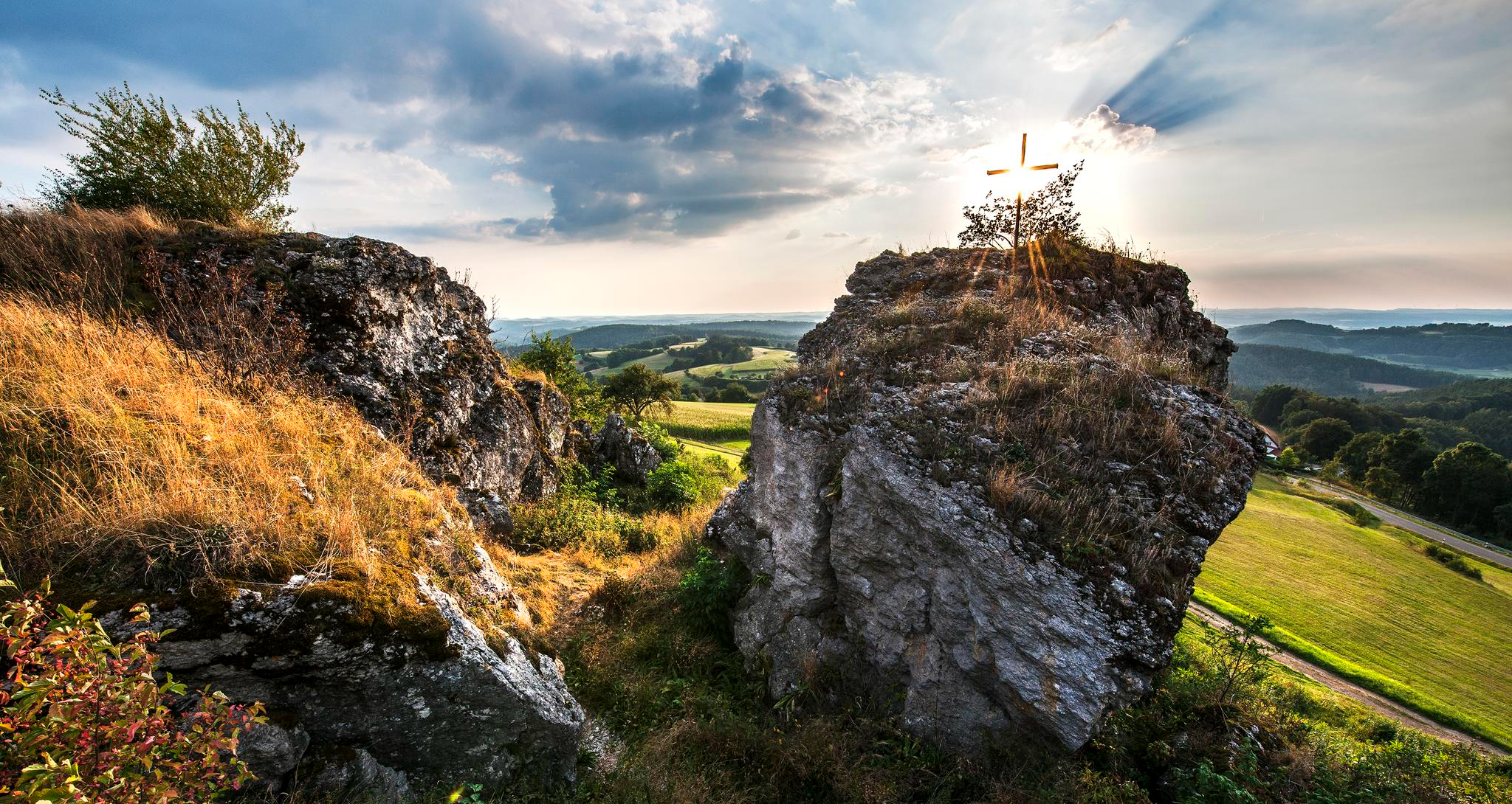
Fun hiking and wonderful views in Franconian Switzerland
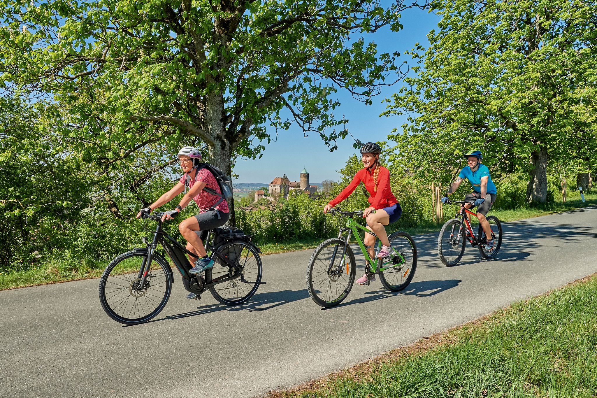
Magnificent cycling holidays — e-bike Tours through Franconia
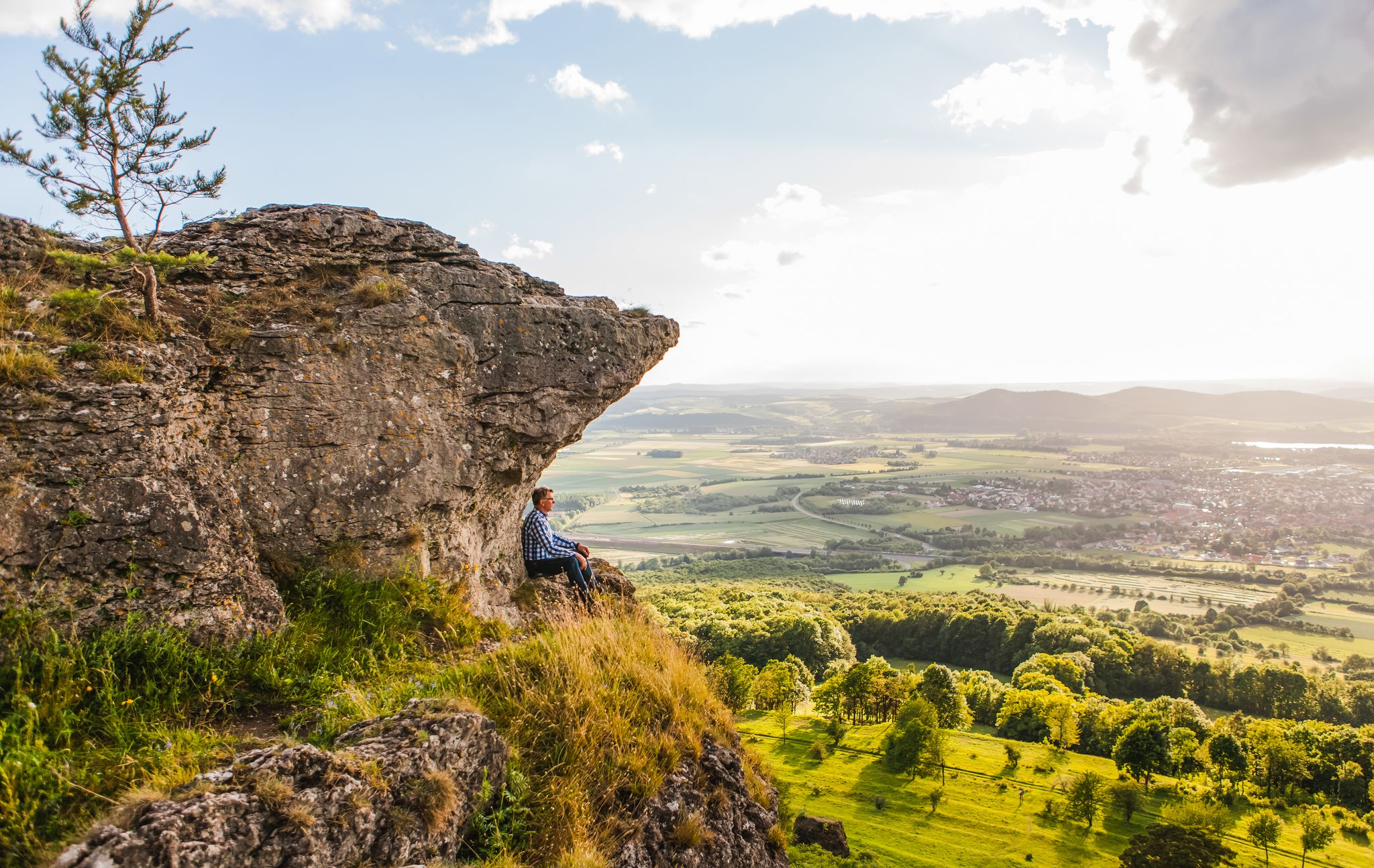
Our 10 favourite Tours through Upper Main’s Garden of Eden
Hiking around Kasendorf
Cycling around Kasendorf
Road Cycling Routes around Kasendorf
Running Trails around Kasendorf
MTB Trails around Kasendorf
Other adventures around Kasendorf


Tips from the Community

Directly on the edge of the forest in Ebersbach (municipality of Ködnitz). Known for its particularly clear, refreshing water for water treading. A popular stop for cooling off and relaxing, e.g. for tired feet after sports.
2
0

Krögelstein is more than a picturesque village nestled between Dolomite rocks: high above the Kaiserbach once stood the castle of the Lords of Krögelstein. Their history dates back to the Middle Ages. In 1523, the rock castle was destroyed by the Swabian League. The large watchtower is said to have been blown up with four tons of gunpowder. Today, remnants of walls above the rocky gorge are a reminder of the vanished castle. The houses of the village nestle directly against the striking Dolomite rocks: the "Alten Fritz", the Schwedenfelsen, and the Löwenfelsen.
5
0
The Kaiserbachtal is a beautiful, quiet section of the Franconian Switzerland. The Kaiserbach stream winds through the meadow landscape under the wooded slopes and striking dolomite rocks.
7
0
The Spitzeichener Tower stands on the approximately 528-meter-high "Rangen" between Kulmbach and Trebgast. The construction of this stone tower with a wooden roof was initiated by Forestry Director Eduard Schindhelm. It was erected in 1927 by the Kulmbach Beautification Association. Compared to other observation towers, the Spitzeichener Tower is rather low, at about ten meters. However, its location offers a wide view because it stands on an almost treeless plateau.
16
0

it is the gateway to Franconian Switzerland, a very beautiful quiet valley
0
0

Beautiful old well in the center of the market square with the inscription: Errichtet von Staat & Stadt
10
0
The white tower belongs to the old town tour and is part of the older city fortifications. It was a debtors' prison until the 19th century.
9
1

The Rote Main is the longer of the two headwaters of the Main river and significantly shapes the cityscape of Bayreuth. The river owes its name to the clay-rich soils of its catchment area. Especially after rainfall, reddish clay particles are washed into the water, giving it a characteristic reddish-brown color. It originates in the Lindenhardter Forst in the Franconian Switzerland, about 10 kilometers south of Bayreuth. At around 72 to 73 kilometers, it is significantly longer than the Weiße Main. Near Kulmbach (Schloss Steinenhausen), it merges with the Weiße Main to form the actual Main.
3
0
Frequently Asked Questions
How many gravel bike trails are available around Kasendorf?
There are over 60 gravel bike trails around Kasendorf, offering a wide variety of routes for different preferences and skill levels. The komoot community has explored these trails extensively, with more than 180 gravel bikers using komoot to discover the region.
What kind of terrain can I expect on gravel bike trails in Kasendorf?
The gravel bike trails in Kasendorf are characterized by diverse and undulating terrain. You'll encounter a mix of hilly landscapes, varied elevation changes, and both open areas and forested sections. This provides a dynamic riding experience, from gentle slopes to more challenging climbs.
What is the best time of year for gravel biking in Kasendorf?
Based on regional popularity, the months of June and July are particularly favorable for gravel biking in Kasendorf. The conditions during this period are generally good for enjoying the varied terrain and natural beauty of the area.
Are there options for different skill levels among the gravel routes?
Yes, Kasendorf offers gravel routes for various skill levels. You can find 5 easy routes, 22 moderate routes, and 34 difficult routes, ensuring there's something for everyone, from casual riders to experienced gravel bikers seeking a challenge.
Are there any challenging gravel routes with significant elevation gain?
For those seeking a challenge, the Burglesauer Valley – Längerstein rock formation loop from Kleinziegenfeld is a difficult route covering 45.8 km with over 600 meters of elevation gain. Another demanding option is the Bischofsgrün Market Square – Weißmain Spring loop from Kulmbach, which is 91.4 km long with nearly 1000 meters of elevation.
What natural features or landmarks can I see along the gravel bike trails?
The region around Kasendorf offers several natural and historical highlights. You might encounter impressive gorges such as the Devil's Hole (Teufelsloch) or the Bärental (Krassach Valley). There are also waterfalls like the Devil’s Hole Waterfalls, and unique rock formations like the Felsengarten.
Are there any historical sites or castles accessible from the gravel routes?
Yes, the area is rich in historical sites. You can find several castles, including the prominent Plassenburg Fortress, Zwernitz Castle, and Thurnau Castle. These historical landmarks can add a cultural dimension to your gravel biking adventure.
Are there any moderate-difficulty gravel routes that offer good views or points of interest?
A great moderate option is the Mainaue, Kulmbach – View of Plassenburg Castle loop from Mainleus. This 45.4 km route provides scenic views, including the impressive Plassenburg Castle, and traverses pleasant river meadows.
Are the gravel bike trails around Kasendorf suitable for families?
While the guide focuses on gravel biking, which can be more demanding, there are 5 easy routes available. For family-friendly options, look for routes with minimal elevation gain and shorter distances. The varied terrain means some sections might be more suitable for older children or those with some biking experience.
What do other gravel bikers say about the trails in Kasendorf?
The gravel biking experience in Kasendorf is highly rated by the komoot community, with an average score of 4.7 stars from over 40 reviews. Riders often praise the diverse landscapes, the mix of open and forested sections, and the variety of routes catering to different abilities.
Are there any circular gravel routes in the area?
Many of the gravel routes around Kasendorf are designed as loops, allowing you to start and end at the same point. For example, the Weismain historic town centre – Schwarzacher Steg loop from Kulmbach is a popular circular trail offering varied scenery through a historic area.
Can I bring my dog on the gravel bike trails?
Many outdoor trails in Bavaria are dog-friendly, especially those through natural landscapes. However, it's always advisable to keep your dog on a leash, especially in forested areas or near wildlife, and to check local regulations for specific routes or protected areas.
Where can I find parking for my bike in Kasendorf?
While specific parking spots for cyclists aren't detailed in the route data, Kasendorf, as a small town, typically offers public parking options in or near the town center. It's recommended to look for designated parking areas upon arrival, especially near trailheads or local amenities.
Most popular attractions around Kasendorf

Get inspired with the komoot mobile app


Explore more
Browse the best Gravel rides in other regions.
