The best gravel rides around Ludwigschorgast
4.3
(10)
76
riders
28
rides
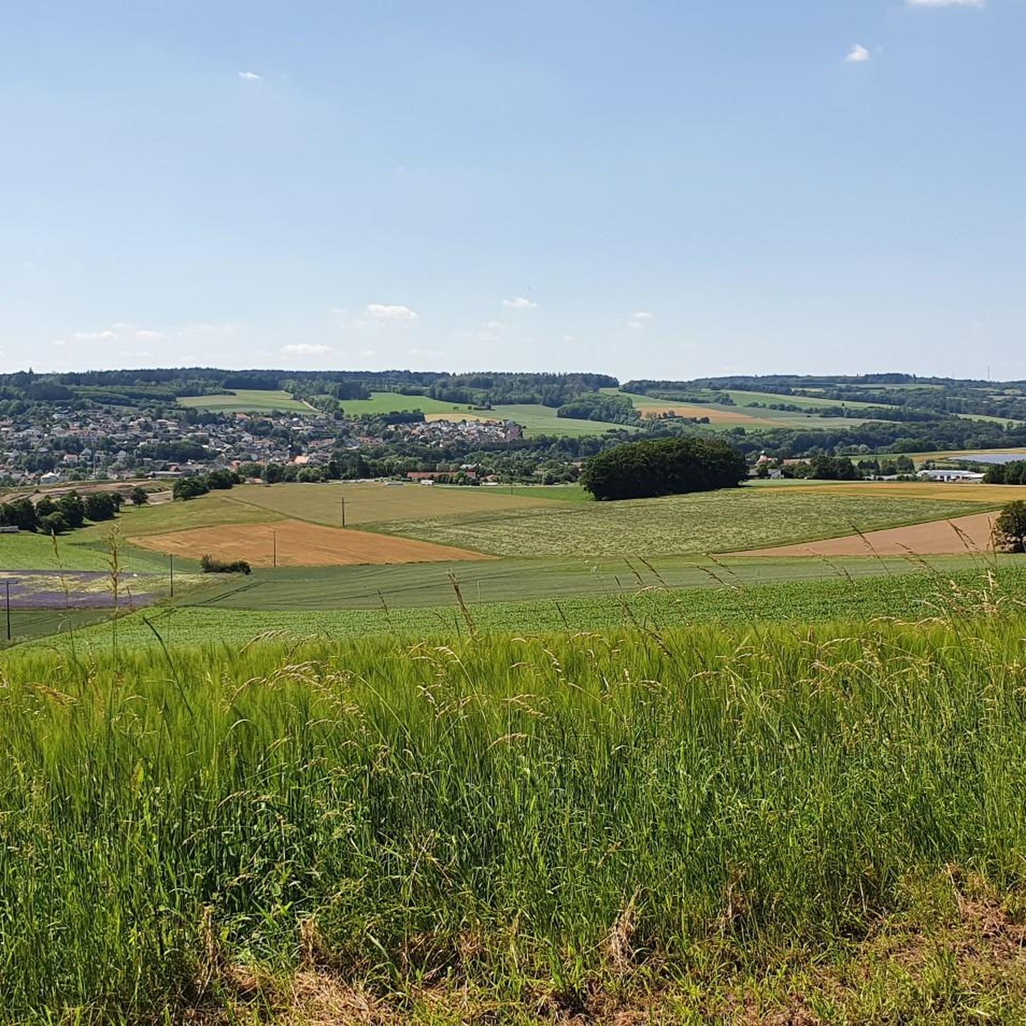
Gravel biking around Ludwigschorgast offers a diverse landscape at the foot of the Franconian Forest, extending towards the Fichtelgebirge mountain range. The region features rolling hills, valley basins, and mountain ridges, providing varied terrain. Routes often include a mix of paved roads, cycleways, and unpaved sections, suitable for gravel bikes. The area is characterized by forests and waterways, with notable features like the Schorgast valley.
Best gravel bike trails around Ludwigschorgast
- The most popular gravel bike trail is Weismain historic…
Last updated: October 6, 2026
4.0
(3)
7
riders
24.1km
01:42
330m
330m
Moderate gravel ride. Good fitness required. Mostly paved surfaces. Suitable for all skill levels.
4.0
(1)
6
riders
24.4km
01:33
370m
370m
Moderate gravel ride. Good fitness required. Mostly paved surfaces. Suitable for all skill levels.

4
riders
Hard gravel ride. Very good fitness required. Mostly paved surfaces. Suitable for all skill levels.
4.0
(1)
4
riders
Moderate gravel ride. Good fitness required. Mostly paved surfaces. Suitable for all skill levels.
6
riders
49.6km
03:09
610m
610m
Hard gravel ride. Very good fitness required. Mostly paved surfaces. Suitable for all skill levels.
Get access to more routes and recommendations from other explorers.
Already have an account?
Our route recommendations are based on thousands of hikes, rides, and runs completed by other people on komoot.
Start today with a free account
Your next adventure awaits.
Tips from the Community

Directly on the edge of the forest in Ebersbach (municipality of Ködnitz). Known for its particularly clear, refreshing water for water treading. A popular stop for cooling off and relaxing, e.g. for tired feet after sports.
2
0
The Plassenburg is an imposing fortress and castle complex above the Upper Franconian town of Kulmbach. It is one of the most significant Renaissance structures in Germany and is the region's most striking landmark. It serves as a visual orientation point and an architectural highlight of the landscape.
1
0

The Spitzeichener Tower stands on the approximately 528-meter-high "Rangen" between Kulmbach and Trebgast. The construction of this stone tower with a wooden roof was initiated by Forestry Director Eduard Schindhelm. It was erected in 1927 by the Kulmbach Beautification Association. Compared to other observation towers, the Spitzeichener Tower is rather low, at about ten meters. However, its location offers a wide view because it stands on an almost treeless plateau.
16
0
The Art and Sea Trail documents the connection between art and leisure at five stations. A footpath leads from the train station to the swimming lake along the railway line, taking about 15 minutes. "Die Badende" is Station 1, a clay figure by Natascha Knapp. At further stations, you can see handicraft art made of copper, glass art, and another "Die Badende".
15
0
Wirsberg also owes its historical significance to this crossing over the Schorgast. Located on important trade routes, such as the connection between Nuremberg, Plauen, and Leipzig, simple wooden bridges had been built here repeatedly in the past. However, these were often damaged or destroyed by floods, ice drift, and the massive wear and tear from heavy wagons, which transported copper ore, among other things. At the beginning of the 18th century, it was decided to build a stone bridge here. The Schorgast Bridge, which can be seen here today and which the locals call "Wernersbruck", was built in 1711 as a two-span sandstone ashlar bridge. In 1995 and 1996, it was extensively renovated by the district of Kulmbach and the market town of Wirsberg to preserve a historical piece of Wirsberg's history.
11
0

The Steinener Brücke from 1711 over the Schorgast, also called Wernersbruck, is a technical monument of great rarity. The bridge was thoroughly renovated and restored in 1995 by the district of Kulmbach.
10
0
Beautiful old well in the center of the market square with the inscription: Errichtet von Staat & Stadt
10
0
The white tower belongs to the old town tour and is part of the older city fortifications. It was a debtors' prison until the 19th century.
9
1
Frequently Asked Questions
How many gravel bike trails are available around Ludwigschorgast?
There are over 45 gravel bike trails in the Ludwigschorgast area, offering a wide range of options for different skill levels. These routes are highly rated by the komoot community, with an average score of 4.76 stars.
What are the difficulty levels of gravel bike trails around Ludwigschorgast?
The trails around Ludwigschorgast cater to various skill levels. You'll find 3 easy routes, 16 moderate routes, and 26 difficult routes. The region's rolling hills, valley basins, and mountain ridges provide a diverse challenge, from gentle paths to more demanding climbs.
Are there any family-friendly gravel biking routes in Ludwigschorgast?
Yes, there are several easier routes suitable for families or those looking for a more relaxed ride. These paths often follow well-paved surfaces through scenic valleys, allowing for a pleasant experience without significant technical challenges. For example, the Kieswäsch Kiosk – View of Plassenburg Castle loop from Untersteinach(b Stadtsteinach) is an easy 16-mile route.
What is the best time of year for gravel biking in Ludwigschorgast?
The Franconian Forest region around Ludwigschorgast is beautiful throughout the warmer months, typically from spring to autumn. During these seasons, the trails are generally dry and the weather is pleasant for cycling. Spring offers lush greenery, while autumn provides stunning foliage. Winter conditions can vary, with some paths potentially becoming muddy or icy.
Are there any loop gravel bike trails around Ludwigschorgast?
Yes, many of the gravel bike trails in the Ludwigschorgast area are designed as loops, allowing you to start and end at the same point. This is convenient for parking and planning your day. An example of a challenging loop is the Bischofsgrün Market Square – Weißmain Spring loop from Kulmbach, which covers over 56 miles.
Where can I park for gravel biking trails near Ludwigschorgast?
Parking is generally available in and around Ludwigschorgast, as well as at the starting points of many routes in nearby towns like Kulmbach or Untersteinach. Look for designated parking areas in village centers or near popular trailheads. Specific parking information is often detailed on individual route pages.
What scenic viewpoints can I expect on gravel trails in Ludwigschorgast?
The region offers numerous scenic viewpoints, especially as routes traverse rolling hills and mountain ridges. You can expect picturesque views of the Franconian Forest, charming valley basins, and glimpses of historical landmarks. For instance, the Kieswäsch Kiosk – View of Plassenburg Castle loop from Untersteinach(b Stadtsteinach) offers views of the impressive Plassenburg Castle.
Are there any castles or historical sites to see along the gravel bike routes?
Yes, the Ludwigschorgast area is rich in history and features several castles and historical sites. You might encounter views of the impressive Plassenburg Fortress in Kulmbach, or the ruins of Nordeck Castle. The Marienweiher Basilica – Schorgast Valley Trail loop from Marktleugast also passes by a significant religious building.
Can I see any natural features like gorges or waterfalls on these routes?
The Franconian Forest is known for its natural beauty, including features like the Schorgast valley and gorges such as the Steinachklamm. While specific routes may vary, you can find highlights like the Rock roof with waterfall, offering unique natural sights. The varied terrain often includes paths over roots and stones, characteristic of these wilder areas.
Are there longer, more challenging gravel routes for experienced riders?
Absolutely. For experienced gravel bikers seeking a challenge, routes like the Bischofsgrün Market Square – Weißmain Spring loop from Kulmbach offer significant elevation changes and longer distances, spanning over 56 miles. These routes navigate through mountainous and forested areas, providing a demanding yet rewarding experience.
What do other gravel bikers say about the trails in Ludwigschorgast?
The gravel biking trails around Ludwigschorgast are highly regarded by the komoot community, boasting an average rating of 4.76 stars from over 52 reviews. Many of the 140+ visitors praise the diverse terrain, the mix of paved and unpaved sections, and the beautiful scenery of the Franconian Forest.
Are there cafes or places to stop for refreshments along the gravel bike routes?
While specific amenities vary by route, the towns and villages within the Franconian Forest, including Ludwigschorgast and nearby Kulmbach, offer various options for refreshments. Many routes pass through or near these settlements, providing opportunities to stop at cafes, bakeries, or local eateries to refuel during your ride.
Most popular routes around Ludwigschorgast
Most popular attractions around Ludwigschorgast

Get inspired with the komoot mobile app


Explore more
Browse the best Gravel rides in other regions.
