The best gravel rides around Behringersdorfer Forst
4.5
(1459)
6,915
riders
456
rides
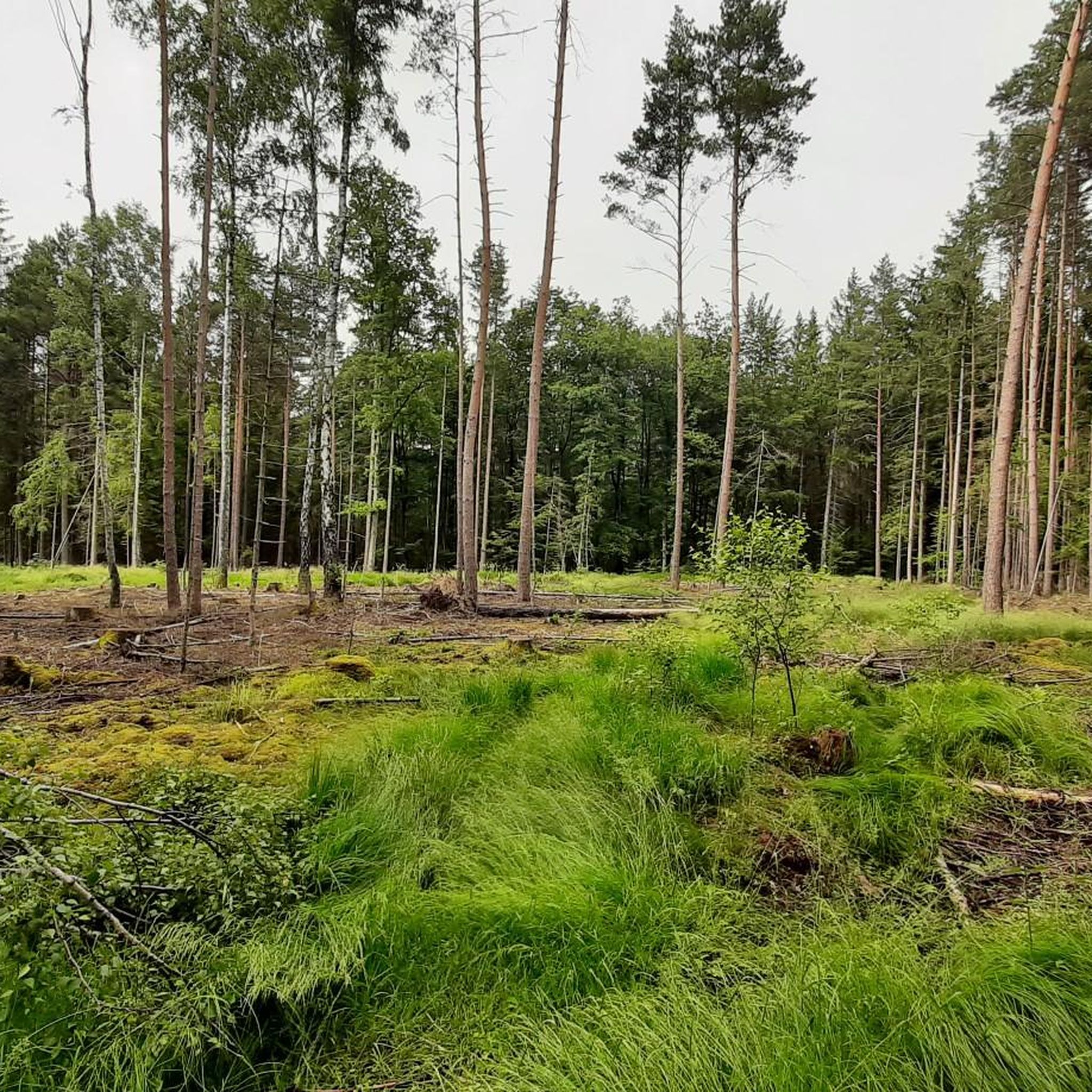
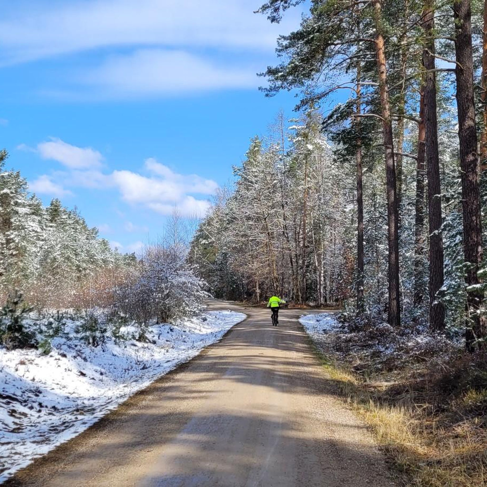
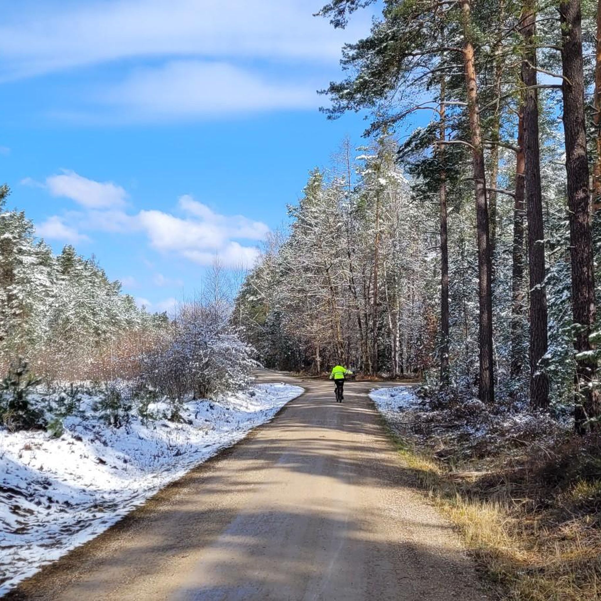
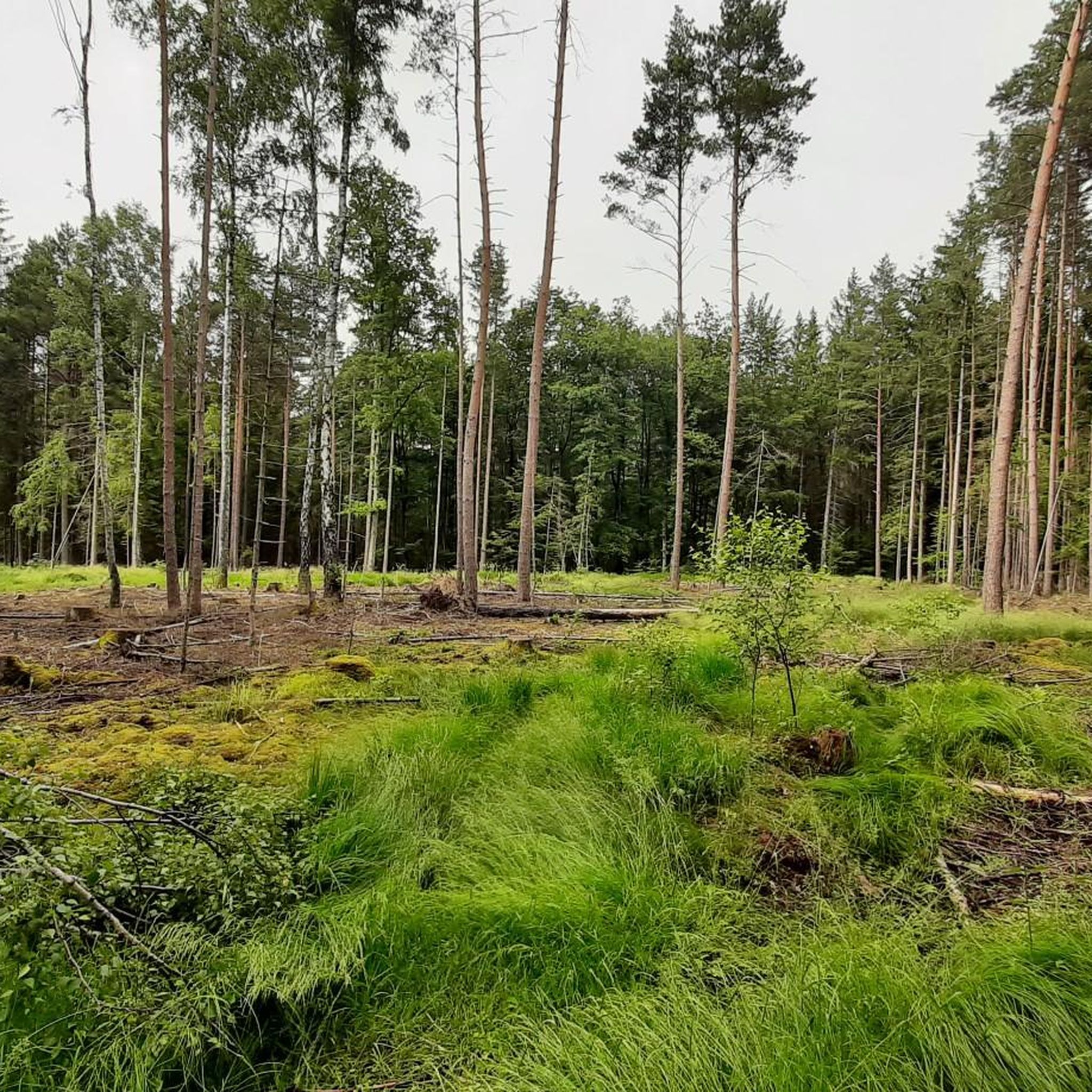
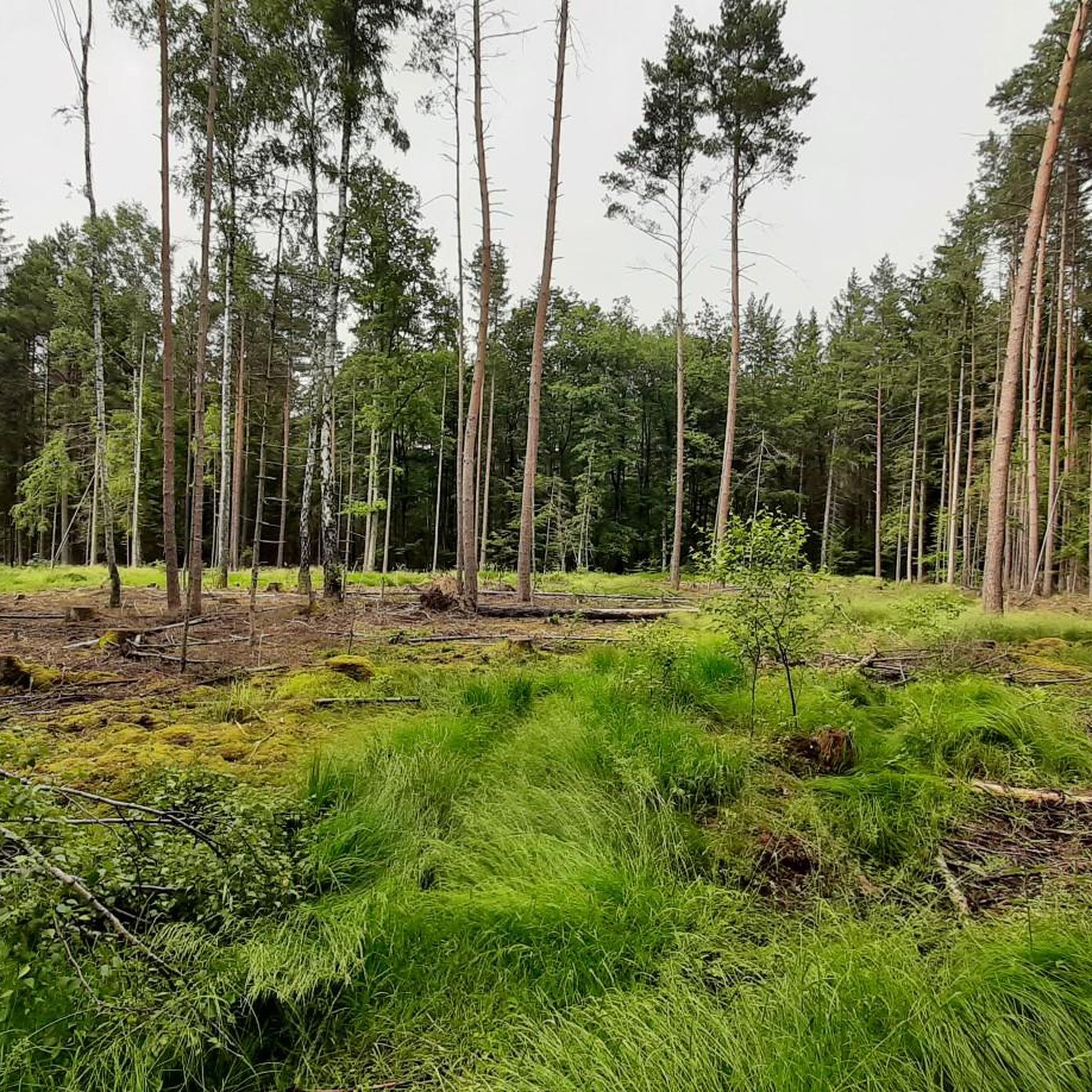
Gravel biking around Behringersdorfer Forst offers diverse landscapes characterized by extensive forest areas, predominantly conifers on sandy soil, with interspersed birch and alder trees. The terrain is generally gentle, with elevations typically ranging between 348 and 371 meters above sea level. This region features a well-developed network of trails, including asphalt and forest paths, making it suitable for gravel bikes. Natural features like the renaturalized Behringersdorfer See and the Langwassergraben stream add to the varied terrain.
Best gravel bike trails…
Last updated: October 6, 2026
16
riders
Moderate gravel ride. Good fitness required. Mostly paved surfaces. Suitable for all skill levels.
14
riders
Moderate gravel ride. Good fitness required. Mostly paved surfaces. Suitable for all skill levels.

26
riders
26.8km
01:28
180m
180m
Moderate gravel ride. Good fitness required. Mostly paved surfaces. Suitable for all skill levels.
2.7
(3)
11
riders
24.1km
01:19
110m
110m
Easy gravel ride. Great for any fitness level. Mostly paved surfaces. Suitable for all skill levels.
4.5
(2)
9
riders
30.3km
01:38
190m
190m
Moderate gravel ride. Good fitness required. Mostly paved surfaces. Suitable for all skill levels.
Get access to more routes and recommendations from other explorers.
Already have an account?
Our route recommendations are based on thousands of hikes, rides, and runs completed by other people on komoot.
Start today with a free account
Your next adventure awaits.
Tips from the Community

Industrial history bike tour: Hello everyone. I have created a tour of the route and variants with all locations of the information boards and stations in Komoot. Regards Complete with all 26 stations: https://www.komoot.com/de-de/tour/3146362750 Shorter variant https://www.komoot.com/de-de/tour/3154237051 Leinburg loop with run https://www.komoot.com/de-de/tour/3154255681 Have fun
0
0

At the former correctional facility is this rest bench and the small lake. Luckily, we are on the right side of the fence.
0
0

The building you see today was built immediately after its destruction in the 2nd Margraves' War. The citizens rebuilt it in record time: Material. Massive sandstone was used, giving the building its characteristic, sturdy appearance to this day. A late Gothic structure with Renaissance influences was created. Particularly striking is the steep timber-framed gable, which was later plastered over. The town hall was much more than just an office for the mayor back then. The open ground floor (the so-called arcades) used to house the bread and meat benches. Bakers and butchers sold their goods here under the protection of the city council. The city council met on the first floor, and justice was administered. The council bell in the turret announced important verdicts or warned of fire. From early on, there was a "council room" in the town hall where the council members were entertained.
9
0
The Nuremberg Gate is the western city gate of Lauf and was part of the medieval city fortifications. It marked the beginning (or end) of the stage on the famous Golden Road in the direction of Nuremberg. The core of the gate dates from the 14th century (approx. 1350), from the time when Emperor Charles IV was also active in Lauf. It is a classic gate tower with a pointed arch passage. The striking half-timbered upper floor and the steep hipped roof give it its typical Franconian appearance.
7
0
Unfortunately, not much is left. However, the little that has been preserved is well restored and justifies a visit.
6
0


A beautifully restored medieval building in the center of the market square. Today it serves as a restaurant, where you can sit on the terrace and enjoy the old town.
4
0
Well-preserved gatehouse. Built almost 700 years ago, it served as the entrance to the city. Today, it characterizes the beautiful medieval appearance of the old town.
6
0
Frequently Asked Questions
What kind of terrain can I expect on gravel bike trails in Behringersdorfer Forst?
The Behringersdorfer Forst offers diverse landscapes, primarily extensive forest areas with conifers on sandy soil, interspersed with birch and alder trees. You'll encounter a mix of asphalt and forest paths. The topography is generally gentle, with elevations between 348 and 371 meters above sea level, though some trails can have more significant elevation changes.
Are there any easy gravel bike routes suitable for beginners or families?
Yes, there are numerous accessible paths. For an easy ride with minimal elevation, consider the Birkensee Beach – Birkensee loop from Nürnberg-Laufamholz. This 14.9-mile (24 km) route has only about 114 meters of elevation gain, making it a good option for a relaxed outing.
What natural features or landmarks can I see along the gravel bike trails?
The region boasts several natural highlights. You can find the renaturalized Behringersdorfer See (Zapfsee), a tranquil nature reserve. Another notable feature is the Klingender Wasserfall, a picturesque 5-meter-high waterfall near Haimendorf, especially beautiful when frozen in winter. The Langwassergraben also offers a 'cool trail' reminiscent of the Röthenbachklamm. For more specific points of interest, you might explore highlights like the Moritzberg Mountain Inn or the Forest House on the Nature Discovery Trail.
What do other gravel bikers enjoy most about riding in Behringersdorfer Forst?
The area is highly rated by the komoot community, with an average score of 4.5 stars from over 1,200 reviews. Riders often praise the varied forest paths, the gentle topography, and the natural beauty, including water views and tranquil forest sections. The extensive network of trails caters to various fitness levels, offering both relaxed rides and more challenging options.
Are there any challenging gravel bike trails for experienced riders?
Absolutely. For a more demanding ride, the Ice Pond North Shore – Schmausibist Enduro Trail loop from Nürnberg-Laufamholz is a difficult 29.9-mile (48.2 km) path with over 300 meters of elevation gain. This route combines scenic lake sections with more challenging enduro-style forest terrain, perfect for those seeking an adventure.
Can I find circular gravel routes in Behringersdorfer Forst?
Yes, many of the gravel bike routes in Behringersdorfer Forst are designed as loops, allowing you to start and end at the same point. Examples include the Ice Pond North Shore – Wöhrder Lake loop from Röthenbach-Steinberg and the Schmausibist Enduro Trail – Räuber Trail loop from Nürnberg-Laufamholz, both offering engaging circular experiences.
What are the parking options for gravel biking in Behringersdorfer Forst?
While specific parking areas aren't detailed in the route descriptions, Behringersdorfer Forst is generally accessible. Look for designated parking lots near trailheads or in nearby towns like Behringersdorf, Röthenbach-Steinberg, or Nürnberg-Laufamholz, which are common starting points for many routes.
Are there any cafes or pubs along the gravel bike trails or nearby?
The region offers options for refreshments. While specific cafes directly on trails are not listed, you can find places like the Moritzberg Mountain Inn, which is a highlight in the area. Nearby towns and villages will also have various cafes, pubs, and restaurants to refuel after your ride.
What is the best time of year for gravel biking in Behringersdorfer Forst?
Behringersdorfer Forst is enjoyable for gravel biking throughout much of the year. Spring and autumn offer pleasant temperatures and beautiful scenery with changing foliage. Summer is also suitable, though it can be warmer. Winter can be picturesque, especially around the Klingender Wasserfall when frozen, but be mindful of trail conditions, which might be muddy or icy.
Are there any historical sites or castles to visit near the gravel routes?
Yes, the area around Behringersdorfer Forst is rich in history. You can find historical attractions such as the Imperial Castle Nuremberg, the Tiergärtnertor Gate, and Neunhof Castle. The St. Maria Magdalena church in Behringersdorf also has parts dating back to 1440, offering a glimpse into the region's past.
How many gravel bike routes are there in total in Behringersdorfer Forst?
There are over 500 gravel bike routes available in Behringersdorfer Forst, offering a wide variety of options for all skill levels. This includes approximately 70 easy routes, over 300 moderate routes, and around 140 difficult routes, ensuring there's always a new adventure to discover.
Most popular routes around Behringersdorfer Forst
Most popular attractions around Behringersdorfer Forst

Get inspired with the komoot mobile app


Explore more
Browse the best Gravel rides in other regions.
