The best gravel rides around Kalchreuther Forst
4.5
(791)
3,993
riders
395
rides
Gravel biking around Kalchreuther Forst offers a network of trails through dense woodlands and rolling terrain in Middle Franconia. The region is characterized by its forested landscapes and varied elevations, providing diverse conditions for gravel cyclists. These routes often feature a mix of forest paths, unpaved roads, and some paved sections, suitable for gravel bikes. The area's topography includes gentle climbs and descents, making it accessible for different skill levels.
Best gravel bike trails around Kalchreuther Forst
- The most popular…
Last updated: May 22, 2026
5
riders
Hard gravel ride. Good fitness required. You may need to push your bike for some segments of this route.
5.0
(1)
27
riders
32.8km
01:45
130m
140m
Easy gravel ride. Great for any fitness level. Mostly paved surfaces. Suitable for all skill levels.

Sign up for free
5.0
(6)
16
riders
32.7km
01:45
200m
200m
Moderate gravel ride. Good fitness required. Mostly paved surfaces. Suitable for all skill levels.
4.0
(2)
7
riders
Moderate gravel ride. Good fitness required. Mostly paved surfaces. Suitable for all skill levels.
3.5
(2)
8
riders
31.9km
01:56
350m
350m
Moderate gravel ride. Good fitness required. Mostly paved surfaces. Suitable for all skill levels.
Get access to more routes and recommendations from other explorers.
Sign up for free
Already have an account?
Our route recommendations are based on thousands of hikes, rides, and runs completed by other people on komoot.
Start today with a free account
Your next adventure awaits.
Login or Signup

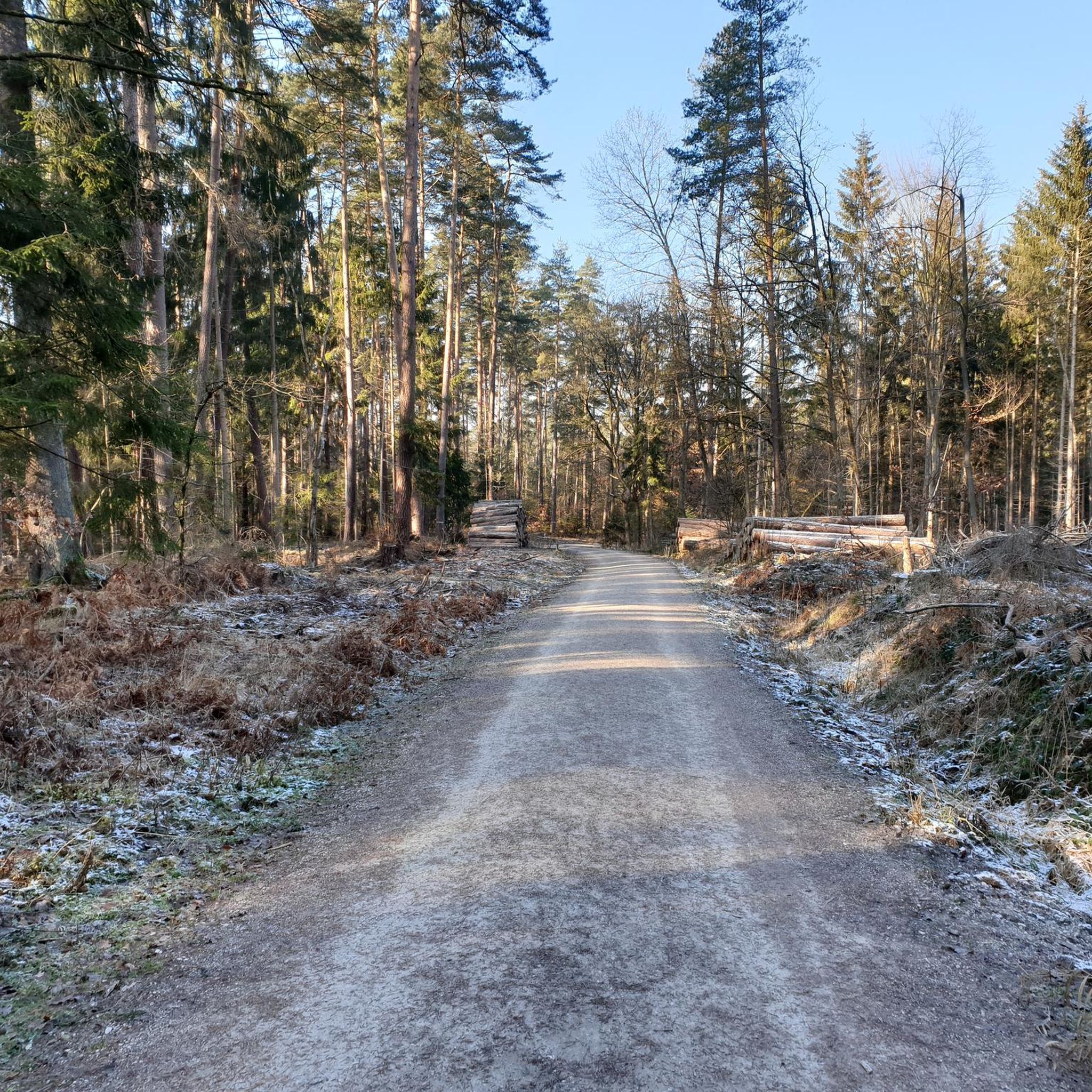
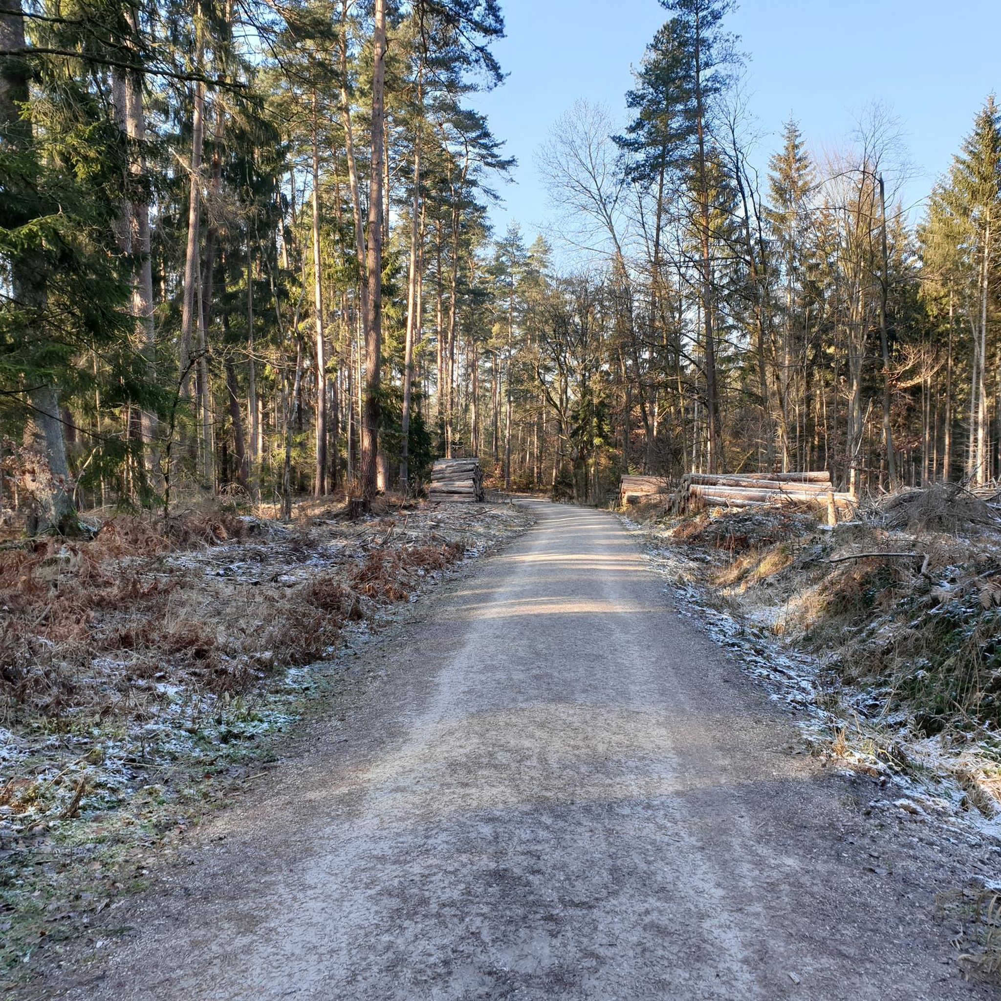
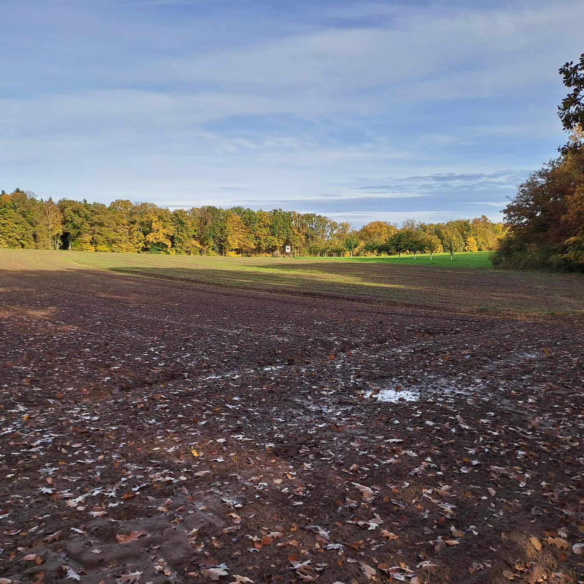
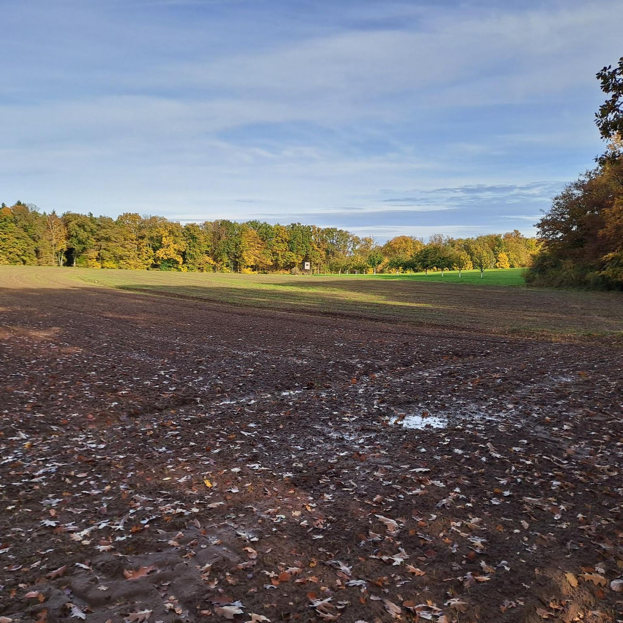
Tips from the Community

Idyllically located fish pond in the forest.
1
0


The quarry was first mentioned around 1600 and supplied high-quality sandstone for construction in Nuremberg and Erlangen. It remained in active operation until 1912. Later, a popular tourist destination developed there, complete with an inn, which was demolished by the US military after World War II. Today, remnants of the old rock cellar still remain.
5
0

Other municipalities should look at such approaches and emulate them.
4
0

From here, you have a beautiful view of the municipality of Kalchreuth. The town lies at the foothills of the Franconian Alb. If you need a bite to eat, you'll find a small selection of places to stop for refreshments in the village.
1
0

Easy-to-drive solid gravel highway with heavy traffic;
1
0

The Kreuz-Weiher is a lake near Kalchreuth (Bavaria). The lake can be reached from the surrounding towns of Dormitz (about 2 km from the lake), Kleinsendelbach (3 km away), and Neunkirchen am Brand (about 3 km away). The Kreuz-Weiher is located in the catchment area of Neunkirchen am Brand, which is about 3 kilometers from the lake.
1
0

Quack competition - Who quacks better? 🦆 or 🐸?
0
0
Frequently Asked Questions
How many gravel bike trails are available in Kalchreuther Forst?
Kalchreuther Forst offers a wide selection of gravel bike trails, with over 450 routes available on komoot. This includes 88 easy, 265 moderate, and 115 difficult options, ensuring there's a trail for every skill level.
What is the general difficulty level of gravel biking in Kalchreuther Forst?
The trails in Kalchreuther Forst cater to a broad range of abilities. While there are 115 difficult routes for experienced riders, the majority are moderate (265 routes) or easy (88 routes), making the area accessible for many gravel bikers. The terrain often features a mix of forest paths, unpaved roads, and some paved sections with varied elevations.
Are there beginner-friendly gravel bike trails in Kalchreuther Forst?
Yes, Kalchreuther Forst has several routes suitable for beginners. Many of the 88 easy trails offer gentle climbs and descents, perfect for those new to gravel biking. For a moderate introduction, consider the View of the Franconian Jura – View of Nuremberg loop from Heroldsberg, which is 23.0 km long and offers scenic views without extreme challenges.
What are some challenging gravel bike routes for advanced riders?
For advanced gravel bikers seeking a challenge, Kalchreuther Forst offers 115 difficult routes. A notable option is the Pear Tree with Rest Area – Forest Trail in Middle Franconia loop from Kalchreuth. This difficult 52.7 km trail takes approximately 3 hours 21 minutes to complete and explores extensive forest paths with significant elevation changes.
What do other gravel bikers say about the trails in Kalchreuther Forst?
The gravel bike trails in Kalchreuther Forst are highly regarded by the komoot community, boasting an average rating of 4.5 stars from over 1200 reviews. Riders frequently praise the diverse forest landscapes, the well-maintained paths, and the variety of routes suitable for different skill levels.
Are there any family-friendly gravel biking options in Kalchreuther Forst?
While specific 'family-friendly' designations aren't always explicit, many of the 88 easy and some moderate routes in Kalchreuther Forst are suitable for families, especially those with older children comfortable on gravel. These trails typically feature less challenging terrain and shorter distances. Always check the route details for elevation and surface type to ensure it matches your family's capabilities.
What kind of viewpoints can I expect along the gravel trails?
Many gravel trails in Kalchreuther Forst offer scenic viewpoints, often providing glimpses of the surrounding Franconian landscape. For example, the Wilder Sebalder Reichswald – View of Kalchreuth loop from Kalchreuth offers views towards Kalchreuth itself, while the View of Nuremberg – View of Nuremberg loop from Heroldsberg provides distant views of the city.
Are there any interesting landmarks or attractions near the gravel bike routes?
Yes, the region around Kalchreuther Forst is rich in history and natural beauty. You can explore historical sites like the Imperial Castle Nuremberg or Atzelsberg Castle. Natural attractions include Wöhrder Lake, which can be incorporated into longer rides, such as the Pegnitz Valley East Nature Reserve – Wöhrder Lake loop from Heroldsberg.
Are the gravel bike trails in Kalchreuther Forst typically loop trails?
Yes, many of the gravel bike routes in Kalchreuther Forst are designed as loops, offering convenient starting and ending points. This allows riders to return to their original location without retracing their steps. Examples include the Pear Tree with Rest Area – Forest Trail in Middle Franconia loop from Kalchreuth and the Wilder Sebalder Reichswald – View of Kalchreuth loop from Kalchreuth.
What is the best time of year for gravel biking in Kalchreuther Forst?
Gravel biking in Kalchreuther Forst is enjoyable for much of the year. Spring and autumn offer pleasant temperatures and beautiful scenery with changing foliage. Summer is also popular, though it can be warmer. Winter riding is possible, but be prepared for potentially muddy or icy conditions, especially on unpaved forest paths.
Where can I park when visiting Kalchreuther Forst for gravel biking?
Parking is generally available at various access points around Kalchreuther Forst, particularly in and around towns like Kalchreuth and Heroldsberg, which serve as common starting points for many routes. Look for designated parking areas near trailheads or local amenities.
Is Kalchreuther Forst accessible by public transport for gravel bikers?
Yes, towns bordering Kalchreuther Forst, such as Kalchreuth and Heroldsberg, are typically connected to the regional public transport network, often via train or bus services from Nuremberg. This allows for convenient access to the trail network without needing a car. Always check local transport schedules for bike carriage policies.
Most popular routes around Kalchreuther Forst
Most popular attractions around Kalchreuther Forst

Get inspired with the komoot mobile app


Explore more
Browse the best Gravel rides in other regions.
