The best gravel rides around Gleißenberg
4.5
(29)
67
riders
15
rides
Gravel bike trails around Gleißenberg are situated in the Bavarian Forest foothills, offering a diverse landscape for cycling. The region features a mix of varied forest, meadow, and asphalt paths, characterized by mountains and valleys close to the German-Czech border. Riders can expect terrain ranging from challenging climbs in areas like the Gibacht Mountain Massif to more rolling sections along the Schwarzach valley. The area is defined by picturesque hills and extensive mixed forests.
Best gravel bike trails around Gleißenberg
…Last updated: July 16, 2026
4.8
(14)
17
riders
40.1km
02:28
470m
470m
Hard gravel ride. Very good fitness required. You may need to push your bike for some segments of this route.
4.8
(5)
15
riders
45.8km
02:52
560m
560m
Hard gravel ride. Very good fitness required. Mostly paved surfaces. Suitable for all skill levels.

Sign up for free
6
riders
Hard gravel ride. Very good fitness required. Mostly paved surfaces. Suitable for all skill levels.
4.8
(6)
12
riders
Moderate gravel ride. Good fitness required. Mostly paved surfaces. Suitable for all skill levels.
5
riders
50.9km
03:08
400m
400m
Moderate gravel ride. Good fitness required. Mostly paved surfaces. Suitable for all skill levels.
Get access to more routes and recommendations from other explorers.
Sign up for free
Already have an account?
Our route recommendations are based on thousands of hikes, rides, and runs completed by other people on komoot.
Start today with a free account
Your next adventure awaits.
Login or Signup
Tips from the Community

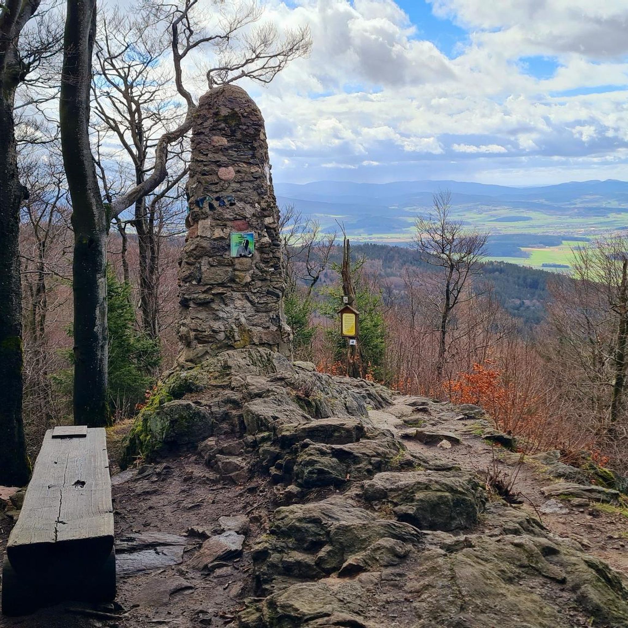
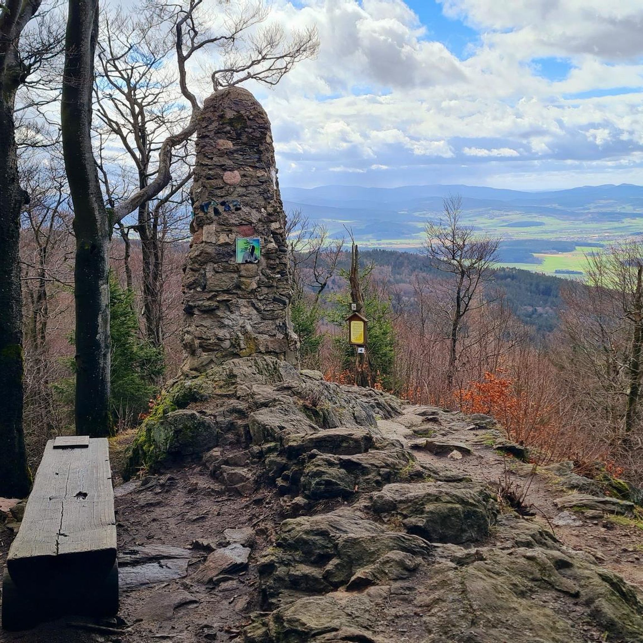
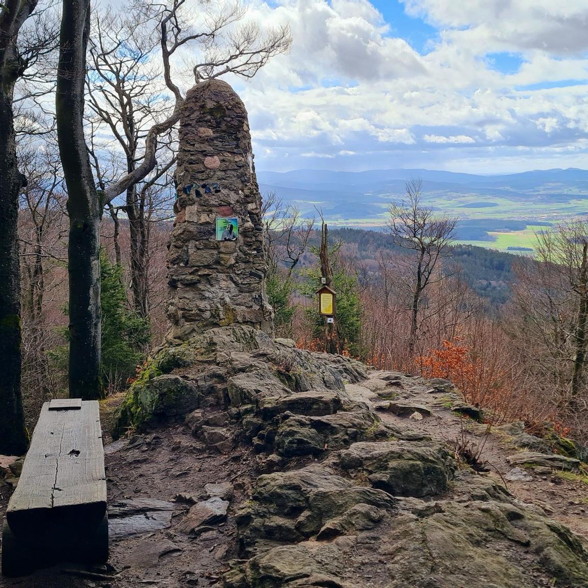
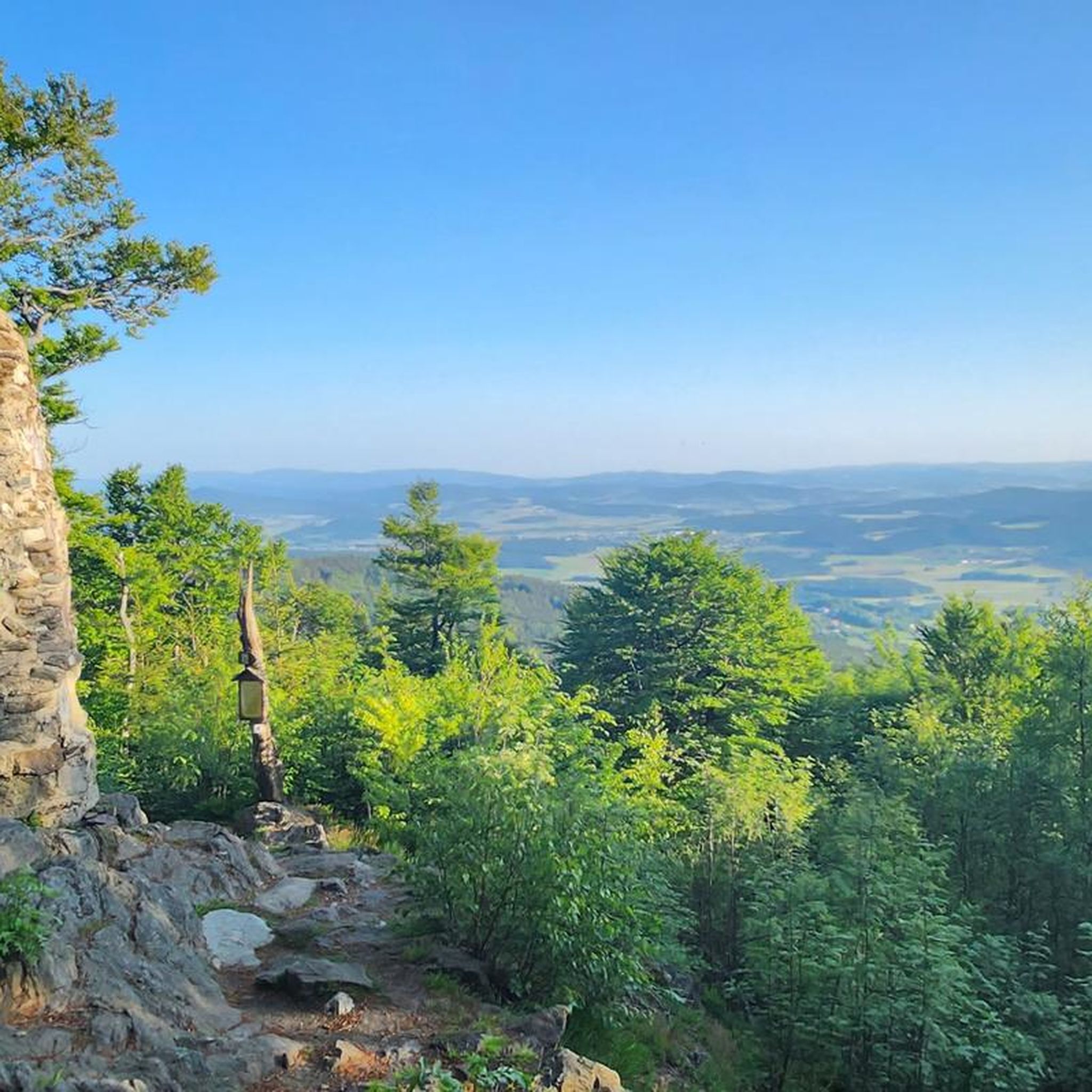
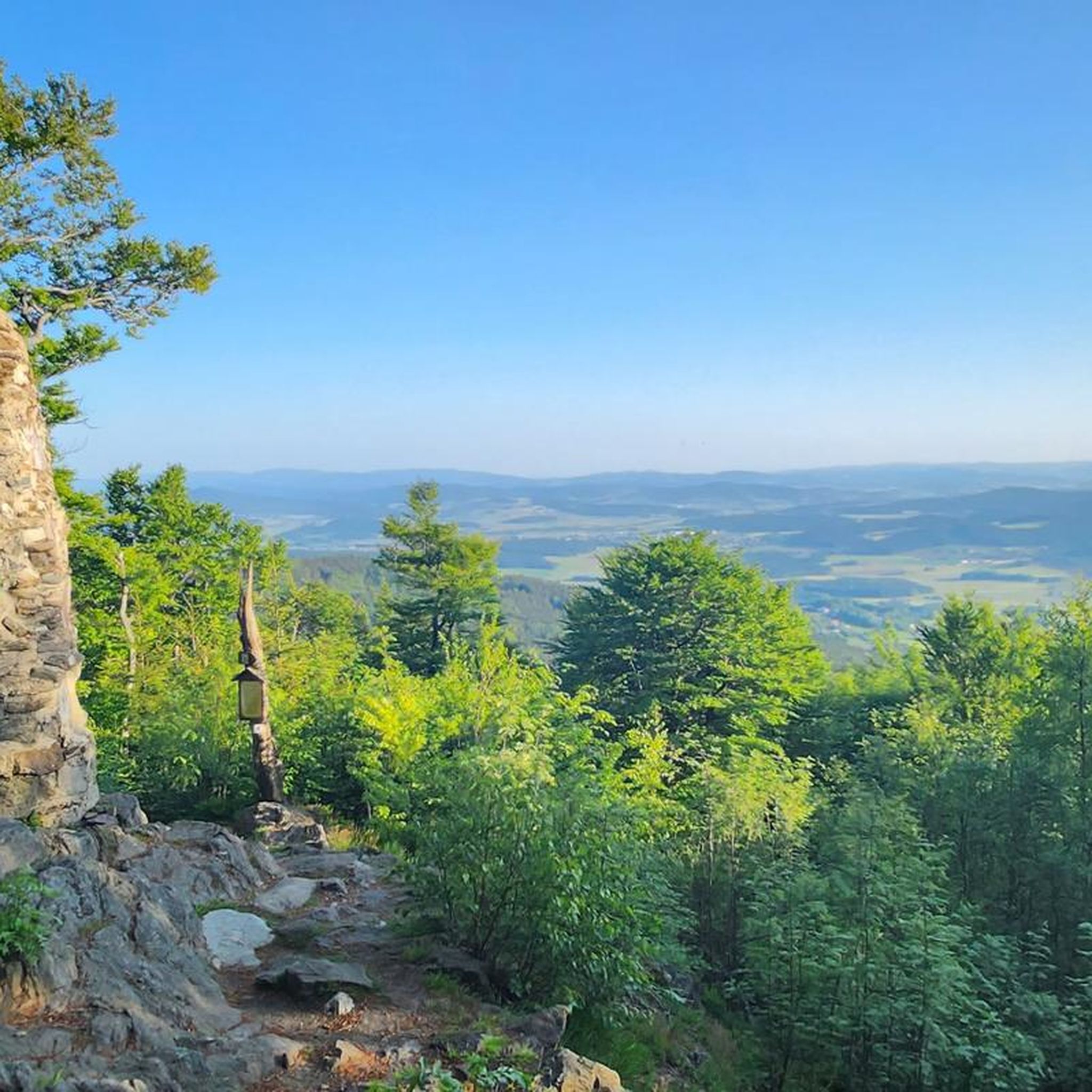
Great view of the Bavarian mountains
1
0
Very busy bathing beach in summer, very highly frequented
0
0

Wonderful area, a great experience again and again,
0
0

The village of Anger, located near the Bavarian border, was evacuated and left to decay between 1950 and 1960 due to the establishment of the Iron Curtain. The settlement was strongly characterized by weaving, animal husbandry, and a local glassworks.
13
0
From the Untergrafenried border crossing, historic paths lead directly into the former, abandoned Czech village of Grafenried (Lučina). These are cross-border tours with the character of witnessing history.
14
0
Frequently Asked Questions
What kind of terrain can I expect on gravel bike trails around Gleißenberg?
Gravel biking around Gleißenberg offers a diverse experience, characterized by the Bavarian Forest foothills. You'll encounter a mix of varied forest, meadow, and asphalt paths. Expect challenging climbs in areas like the Gibacht Mountain Massif, alongside more rolling sections through valleys such as the Schwarzach. The region's proximity to the German-Czech border also means varied landscapes and views.
Are there any beginner-friendly gravel routes in Gleißenberg?
While many routes around Gleißenberg are rated as moderate to difficult, the extensive cycling network offers options for various ability levels. For a less strenuous ride, look for routes that stick to the valley floors or less elevated areas, focusing on the meadow and asphalt paths. The region's network is well-developed, providing choices beyond the most challenging mountain sections.
What are some notable natural features or viewpoints I can discover on these trails?
The Gleißenberg area is rich in natural beauty and offers numerous viewpoints. You might encounter the picturesque Schwarzach valley, or enjoy views over the Bavarian Forest from spots like the Gipfelkreuz am Kreuzfelsen (Gibacht). The region also features nearby bathing lakes such as Dragon Lake, Perlsee, and Satzdorfer Lake, perfect for a post-ride cool-down. For a unique cultural landmark, the Leuchtturm der Menschlichkeit (Lighthouse of Humanity) also offers impressive views.
Are there any circular gravel bike routes available?
Yes, many of the gravel bike routes around Gleißenberg are designed as loops, allowing you to start and finish in the same location. For example, the Lehmgrubenweg Border Crossing – Teufelsbrücke and waterwheel on the stream loop from Waldmünchen is a difficult 24.7 km circular trail that includes interesting natural features. Another option is the Schwarzach River bend near Thurau – Schwarzach Gorge loop from Waldmünchen, a moderate 43.4 km route.
What do other gravel bikers say about the trails in Gleißenberg?
The gravel biking trails around Gleißenberg are highly regarded by the komoot community, holding an average rating of 4.3 stars from over 20 reviews. Riders often praise the diverse landscapes, the mix of forest and meadow paths, and the stunning views, especially those along the border crossings and from elevated points like the Gibacht Mountain Massif. Many appreciate the 'nature experience with many views' that the region offers.
Can I find any historical sites or unique attractions along the gravel trails?
Absolutely. The region offers a blend of natural beauty and cultural interest. You can explore historical ruins, such as those featured on the Grafenried Ruins (Lučina) – View of Starý Herštejn loop from Spielberg route. Additionally, the area has unique geological features like the Schrazelloch Cave and the Rock Cellars of Furth im Wald, which can be interesting stops during your ride.
What is the best time of year for gravel biking in Gleißenberg?
Gleißenberg, often called the 'Bavarian Meran' due to its mild, wind-protected climate, is generally pleasant for gravel biking from spring through autumn. The varied terrain is particularly beautiful when the forests are green or during the vibrant colors of fall. While winter riding is possible, be prepared for colder conditions and potential snow or ice, especially on higher elevations and less-maintained paths.
Are there options for family-friendly gravel biking in the area?
While some routes feature challenging climbs, the extensive network of paths around Gleißenberg includes many sections suitable for families. Look for routes that utilize the flatter meadow and asphalt paths, particularly those along the Schwarzach valley or around the bathing lakes like Perlsee. These areas often provide a gentler gradient and scenic, less demanding rides for all ages.
How many gravel bike trails are there in Gleißenberg?
There are over 20 gravel bike trails available around Gleißenberg, offering a wide range of distances and difficulty levels. This includes a mix of moderate and difficult routes, ensuring there's something for every gravel biking enthusiast.
Is public transport available to access the gravel bike trails, and can I bring my bike?
Gleißenberg is part of a well-developed region for outdoor activities. While specific public transport options for bikes can vary, it's generally advisable to check local bus or train services for their bike carriage policies. Many trailheads are accessible by car, and parking is often available near popular starting points in towns like Waldmünchen or Furth im Wald, which serve as gateways to the region's cycling network.
Are there any cafes or places to stop for refreshments along the gravel routes?
The Gleißenberg region, being a recognized recreational resort, has infrastructure to support visitors. While specific cafes directly on every remote gravel path might be scarce, you'll find refreshment options in the towns and villages that the routes pass through or start from, such as Gleißenberg itself, Waldmünchen, or Furth im Wald. These towns offer opportunities for a coffee break or a meal to refuel during or after your ride.
Most popular routes around Gleißenberg
Most popular attractions around Gleißenberg

Get inspired with the komoot mobile app


Explore more
Browse the best Gravel rides in other regions.
