The best gravel rides around Waldachtal
4.5
(154)
652
riders
81
rides
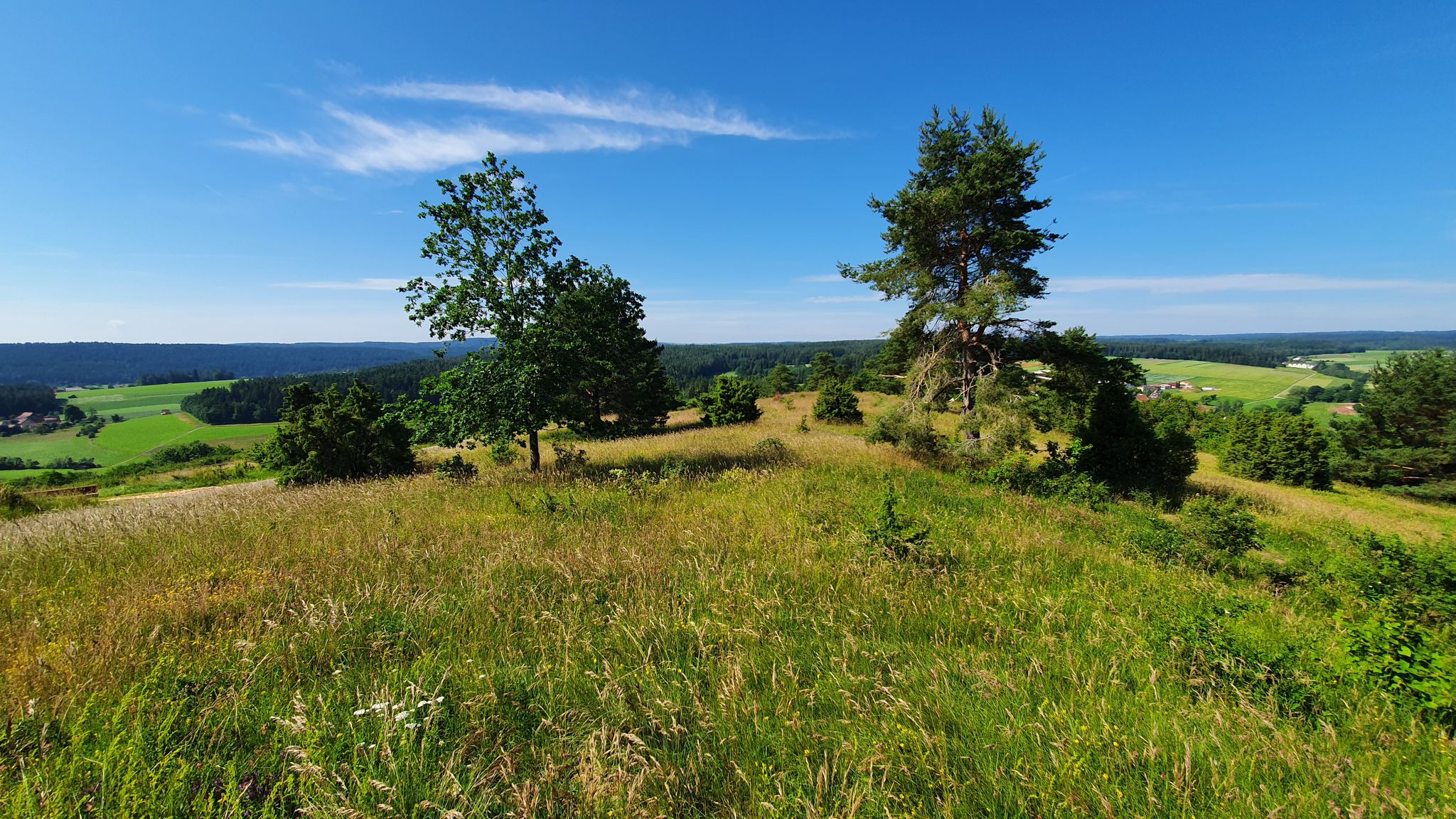
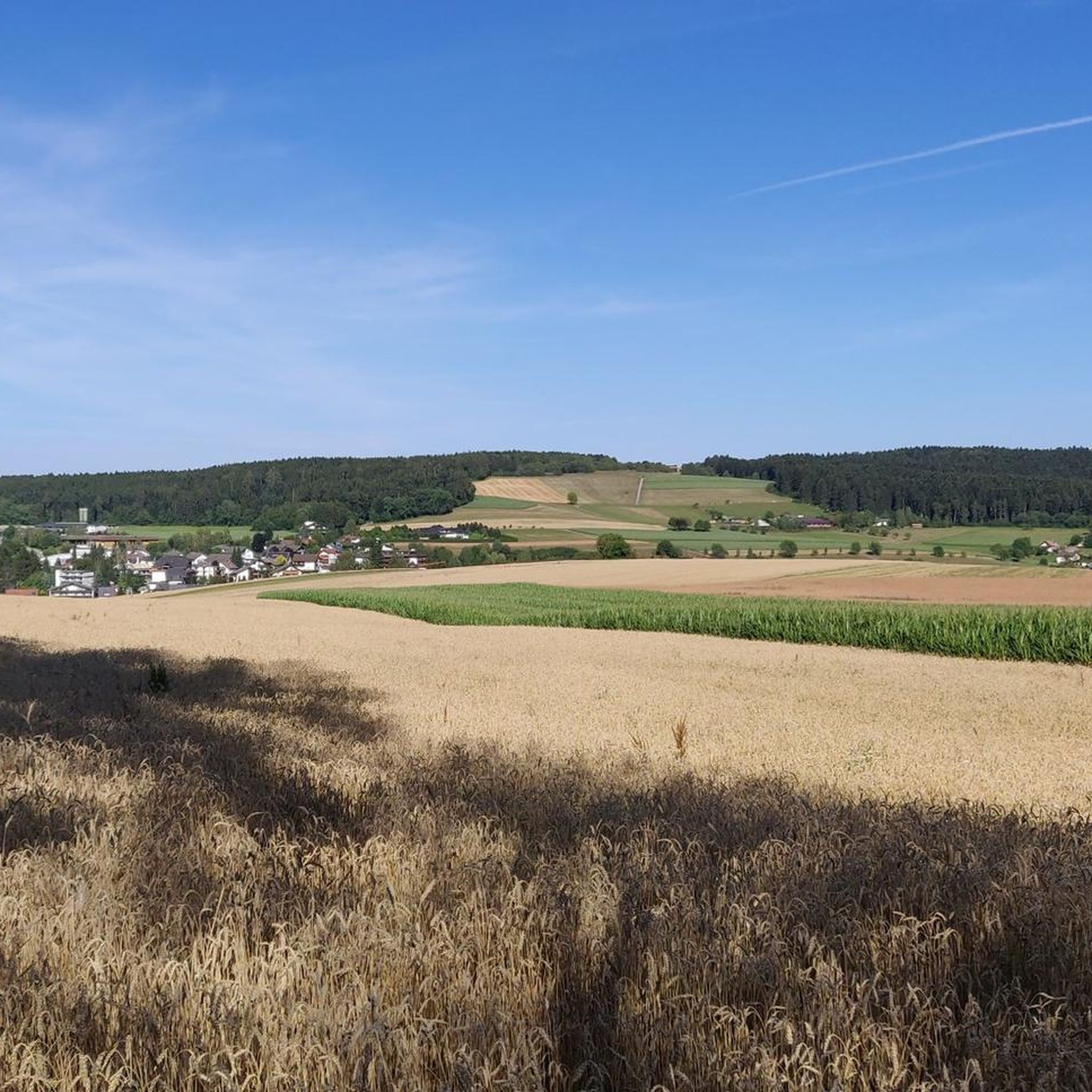
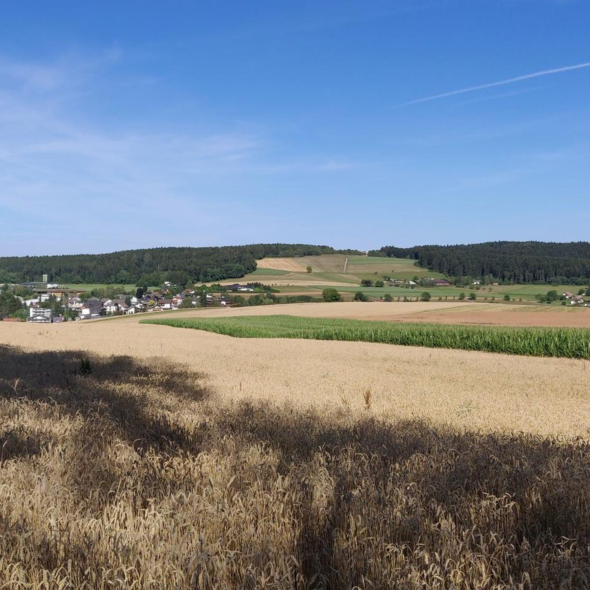
Gravel biking around Waldachtal offers diverse landscapes within the Northern Black Forest, characterized by gentle valleys, expansive coniferous forests, and picturesque meadows. The region sits at an elevation of 550-700 meters above sea level, providing varied terrain from gentle slopes to more demanding climbs. Extensive unpaved forest trails are a prominent feature, making the area suitable for gravel biking.
Best gravel bike trails around Waldachtal
- The most popular gravel bike trail is Bösingen Water House – Waldach Cycle Path loop…
Last updated: October 6, 2026
5.0
(2)
23
riders
Hard gravel ride. Very good fitness required. Mostly paved surfaces. Suitable for all skill levels.
4.7
(10)
39
riders
37.5km
02:07
450m
450m
Hard gravel ride. Very good fitness required. Mostly paved surfaces. Suitable for all skill levels.

5.0
(2)
11
riders
36.3km
02:18
540m
540m
Hard gravel ride. Very good fitness required. Mostly paved surfaces. Suitable for all skill levels.
5.0
(1)
4
riders
18.3km
01:23
330m
330m
Moderate gravel ride. Good fitness required. Mostly paved surfaces. Suitable for all skill levels.
5.0
(2)
8
riders
29.4km
01:57
440m
440m
Moderate gravel ride. Good fitness required. Mostly paved surfaces. Suitable for all skill levels.
Get access to more routes and recommendations from other explorers.
Already have an account?
Our route recommendations are based on thousands of hikes, rides, and runs completed by other people on komoot.
Start today with a free account
Your next adventure awaits.
Other adventures around Waldachtal

Tips from the Community

Beautiful place for a break with a view
0
0
Dornstetten is worth a visit
1
0


Not entirely easy, many roots, but rideable 😍
0
0

Can only recommend it. However, it goes up and down again and again.
0
0

The Bösinger Wasserhäusle was a pumping station and was used to transport fresh spring water from a source in the Waldach valley via cast iron pipes to the village of Bösingen (a district of the municipality of Pfalzgrafenweiler), located 1.4 km away and 140 meters higher up. The pumps were driven by the water power of the Waldach. A water wheel with a diameter of six meters was used. The facility went into operation in 1894. In 1911, it was supplemented by an 8 hp gasoline engine, which could now also drive the pumps during low water levels in the Waldach. In 1948, it was connected to the power grid via a transformer station, after which a newly installed electric motor could serve as a backup drive. The Bösingen's own water supply was taken out of service in 1991 due to drinking water contamination. The entire facility, including the weir, the power channel, and the pumping station, has been protected as a cultural-historical monument since 2000. The pumping station can be visited all day on the Day of the Open Monument. Source: https://de.wikipedia.org/wiki/B%C3%B6singer_Wasserh%C3%A4usle
0
0
The Bösinger Wasserhäusle was a pumping station and served to transport fresh spring water from a source in the Waldach valley via cast iron pipes to the village of Bösingen (part of the municipality of Pfalzgrafenweiler), 1.4 km away and 140 meters higher. The pumps were driven by the water power of the Waldach. A water wheel with a diameter of six meters was used. The facility went into operation in 1894. In 1911, it was supplemented by an 8 hp gasoline engine, which could now also drive the pumps during low water levels in the Waldach. In 1948, it was connected to the power grid via a transformer station, from which time a newly installed electric motor could serve as a backup drive. The Bösingen's own water supply was taken out of operation in 1991 due to drinking water contamination. The entire facility with its weir, power channel, and pumping station has been protected as a cultural-historical monument since 2000. The pumping station can be visited all day on the Day of the Open Monument. Source: https://de.wikipedia.org/wiki/B%C3%B6singer_Wasserh%C3%A4usle
0
0

Beautiful 360-degree panoramic view
3
0
Frequently Asked Questions
What kind of terrain can I expect on gravel bike trails around Waldachtal?
Waldachtal, situated in the Northern Black Forest, offers a diverse landscape for gravel biking. You'll encounter gentle valleys, expansive coniferous forests, and picturesque meadows. The region sits at an elevation of 550-700 meters, providing varied terrain from gentle slopes to more demanding climbs. Expect extensive unpaved forest trails, which are characteristic of the Black Forest and ideal for gravel biking.
Are there gravel bike routes suitable for beginners or those looking for an easier ride?
Yes, while many routes in the region are challenging, Waldachtal also offers options for more relaxed tours. For a moderate ride, consider the Nagoldtalsperre Erzgrube – Nagold Dam loop from Waldsägmühle, which covers 18.3 km and features an elevation gain of around 327 meters. This route provides a good balance for those seeking a less strenuous experience.
What are some of the longer or more challenging gravel bike routes in the area?
For experienced gravel bikers seeking a challenge, the region has several demanding routes. The Reichenbach Valley and Spring – Stoffelwald Trail loop from Dornstetten is a difficult 59.8 km path with nearly 900 meters of elevation gain, leading through scenic valleys and dense forests. Another challenging option is the Old Post Hotel, Nagold – Historic Pump House Bösingen loop from Dornstetten, a 53.9 km trail passing historical sites.
Are there any scenic viewpoints or landmarks to look out for on the trails?
Absolutely. The trails often lead through areas with panoramic views. The Schellenberg is a notable observation mountain in Waldachtal offering surprising geological, cultural-historical, and scenic insights. You might also pass by historical sites such as the Mönchhof Sawmill and the former Heiligenbronn monastery. For broader views, consider highlights like the View of Horb am Neckar or the View of Zollernalb.
What do other gravel bikers enjoy most about the routes in Waldachtal?
The gravel biking routes in Waldachtal are highly rated by the komoot community, with an average score of 4.7 stars from over 140 reviews. Reviewers often praise the diverse forest landscapes, the well-maintained unpaved trails, and the variety of terrain that caters to different skill levels, from gentle valleys to more challenging climbs.
Are there any circular gravel bike routes available?
Yes, many of the gravel bike routes around Waldachtal are designed as loops, allowing you to start and end at the same point. For example, the Bösingen Water House – Waldach Cycle Path loop from Pfalzgrafenweiler is a popular 37.5 km circular trail traversing varied forest landscapes and valleys.
What is the best time of year for gravel biking in Waldachtal?
The stimulating mild climate in the Waldach valley makes it conducive to year-round outdoor activities. However, spring through autumn generally offers the most pleasant conditions for gravel biking, with lush forests and comfortable temperatures. While winter riding is possible, be prepared for colder weather and potentially snowy or icy conditions on some trails, especially at higher elevations.
Is Waldachtal a good destination for family-friendly gravel biking?
Waldachtal offers a mix of terrain, including gentle slopes and mostly flat sections, which can be suitable for families. While specific 'family-friendly' gravel routes are not explicitly highlighted, the presence of well-signposted trails and diverse landscapes means that easier, shorter sections can be found. Always check the route's difficulty and elevation profile on komoot to ensure it matches your family's capabilities.
Can I bring my dog on the gravel bike trails in Waldachtal?
Generally, dogs are welcome on trails in the Black Forest region, including those around Waldachtal, provided they are kept on a leash and you adhere to local regulations, especially concerning wildlife protection and agricultural areas. Always be mindful of other trail users and ensure your dog is well-behaved and doesn't disturb the natural environment.
Where can I find parking for gravel biking trailheads in Waldachtal?
Waldachtal and its surrounding towns like Pfalzgrafenweiler and Dornstetten typically offer parking facilities near popular trailheads and town centers. Many routes start from easily accessible locations, making it convenient to park your vehicle. It's advisable to check specific starting points on komoot for detailed parking information for your chosen route.
Are there cafes or accommodation options for cyclists in Waldachtal?
Waldachtal and the wider Northern Black Forest region are well-equipped for tourists. You'll find various cafes, restaurants, and accommodation options in the villages. Many establishments cater to outdoor enthusiasts, and some may offer bike-friendly amenities. For specific recommendations, it's best to check local tourism resources or search for cyclist-friendly lodging in towns like Waldachtal, Dornstetten, or Pfalzgrafenweiler.
How many gravel bike trails are available around Waldachtal?
There are over 140 gravel bike trails available around Waldachtal. This extensive network provides a wide range of options, from moderate rides to more difficult and challenging routes, ensuring there's something for every skill level.
Most popular routes around Waldachtal
Most popular attractions around Waldachtal

Get inspired with the komoot mobile app


Explore more
Browse the best Gravel rides in other regions.
