The best gravel rides around Gaißach
4.5
(582)
3,455
riders
112
rides
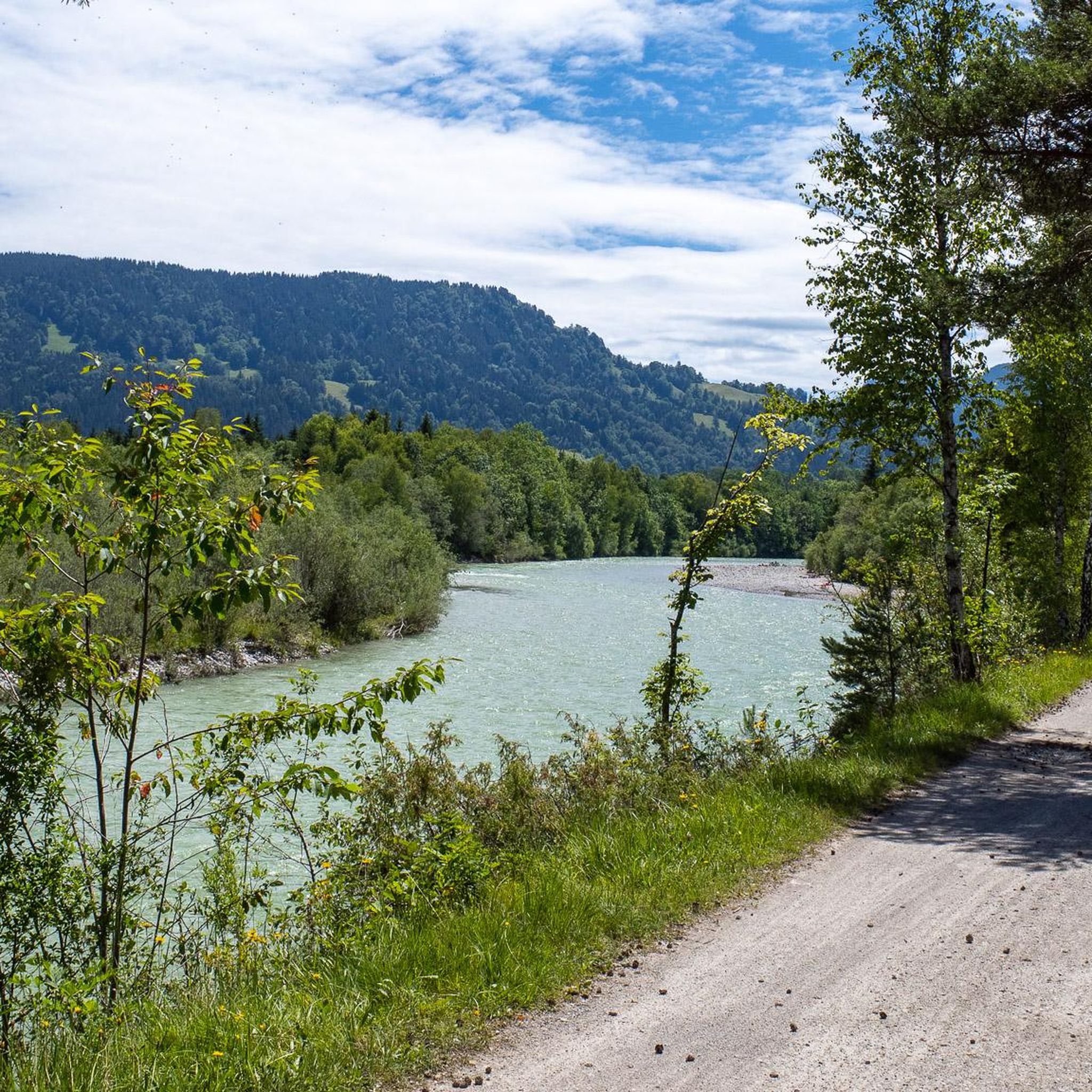
Gravel biking around Gaißach offers diverse landscapes at the foothills of the Bavarian Alps. The region features green meadows, dense forests, and paths along the Isar River and its high banks. Terrain includes varied elevations, from the Isar valley to hills like Schürfenkopf and Fockenstein, providing a range of challenges for gravel cyclists. The area also encompasses the Gaißach Moor nature reserve and routes extending towards Bad Tölz and the Loisach River.
Best gravel bike trails around Gaißach
- The most…
Last updated: November 2, 2026
4.7
(52)
347
riders
Hard gravel ride. Very good fitness required. You may need to push your bike for some segments of this route.
4.6
(11)
88
riders
54.9km
04:11
650m
650m
Hard gravel ride. Very good fitness required. You may need to push your bike for some segments of this route.

4.5
(22)
67
riders
33.5km
02:47
400m
400m
Hard gravel ride. Good fitness required. You may need to push your bike for some segments of this route.
4.6
(19)
96
riders
50.3km
03:04
650m
650m
Hard gravel ride. Very good fitness required. Mostly paved surfaces.
4.6
(8)
27
riders
83.6km
05:36
1,330m
1,330m
Hard gravel ride. Very good fitness required. You may need to push your bike for some segments of this route.
Get access to more routes and recommendations from other explorers.
Already have an account?
Our route recommendations are based on thousands of hikes, rides, and runs completed by other people on komoot.
Start today with a free account
Your next adventure awaits.

Tips from the Community

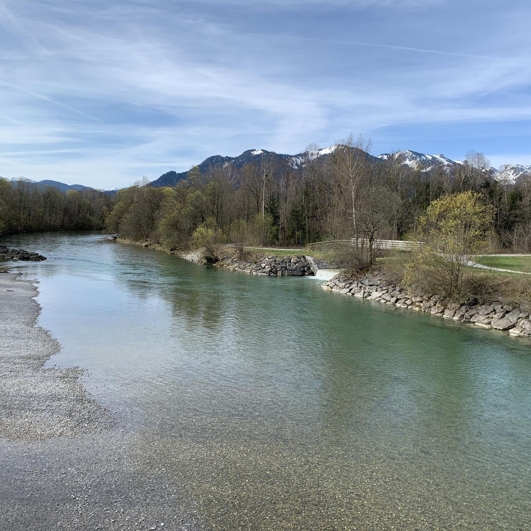
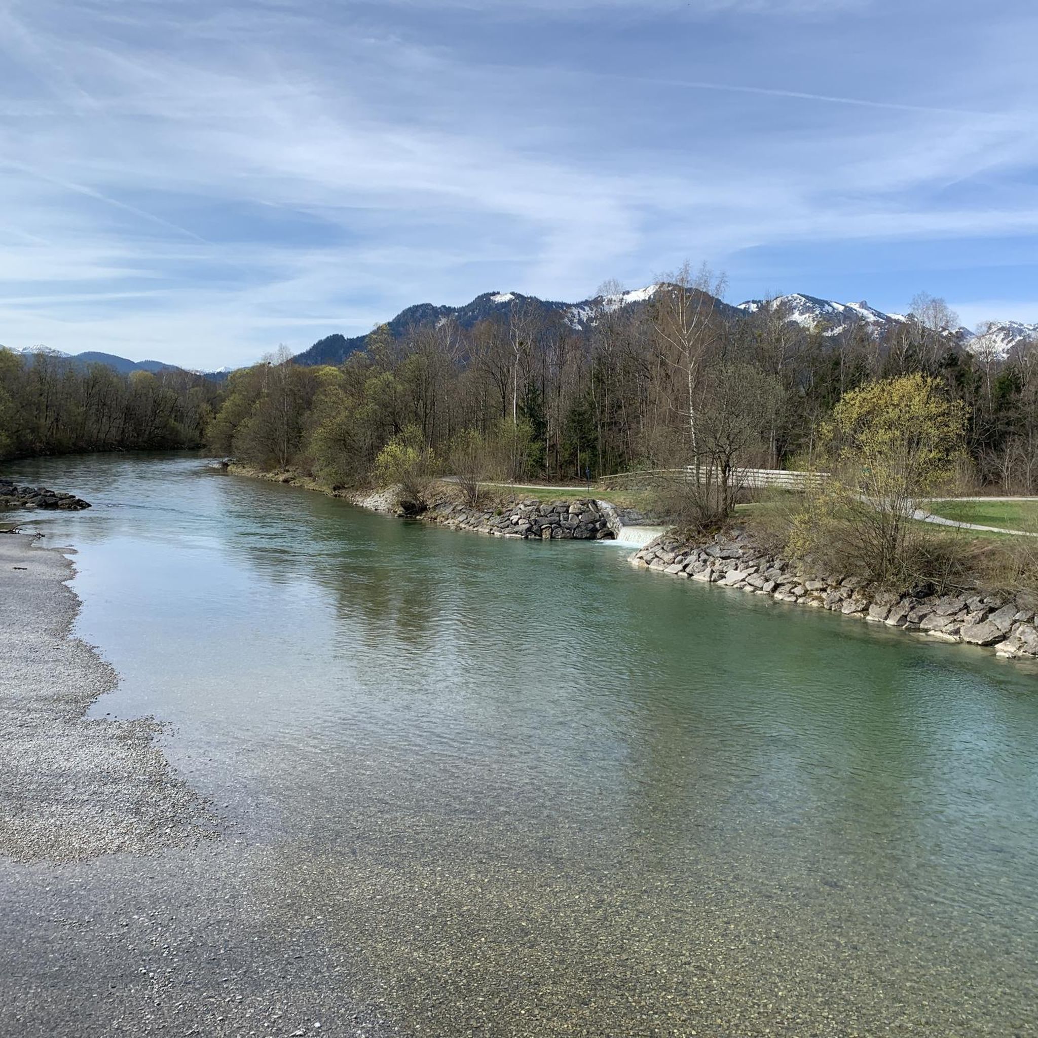
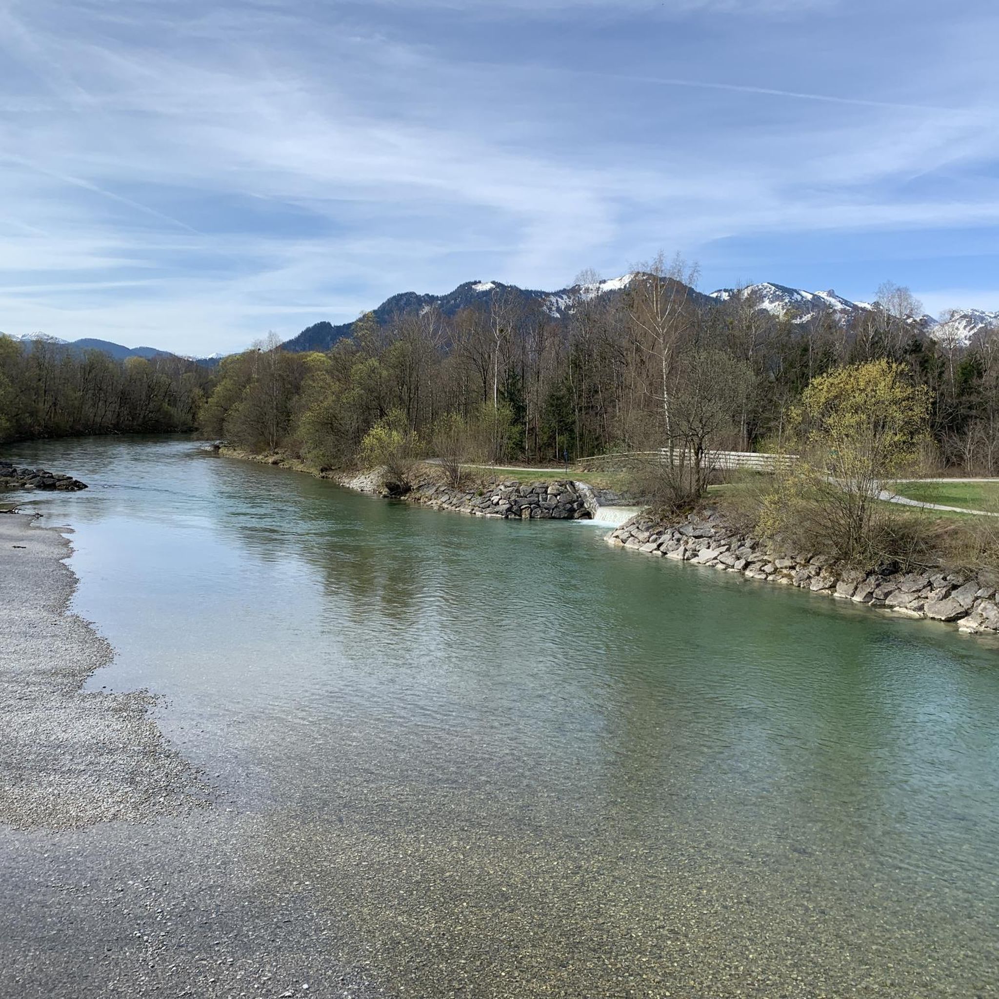
Here you can let your gaze wander. https://de.wikipedia.org/wiki/Isar
0
0

Tegernsee delights with its crystal-clear water, the impressive mountain scenery, and the idyllic lakeside promenades. It lies at an altitude of about 726 meters and was formed during the last ice age. It is about 6.5 km² in size and up to 72 meters deep. Surrounded by the Bavarian Alps, it offers dreamlike views and is a perfect place for any form of outdoor activity, as numerous hiking and cycling trails lead through the beautiful nature around the lake. The constant thermal winds, especially in the afternoon, also make it a challenging area for sailors, windsurfers, and kitesurfers. Those who prefer it quieter can use the early, mirror-smooth morning hours for extended stand-up paddling tours or row and kayak against the backdrop of the Mangfallgebirge mountains. A real highlight in Upper Bavaria 👍🏼
0
0
Tegernsee delights with its crystal-clear water, impressive mountain scenery, and idyllic lakeside promenades. It is situated at an altitude of about 726 meters and was formed during the last ice age. It covers an area of around 6.5 km² and is up to 72 meters deep. Surrounded by the Bavarian Alps, it offers dreamlike views and is a perfect place for any form of outdoor activity, as numerous hiking and cycling trails lead through the beautiful nature around the lake. The constant thermal winds, especially in the afternoon, also make it a challenging area for sailors, windsurfers, and kitesurfers. Those who prefer it quieter can use the early, mirror-smooth morning hours for extended stand-up paddling tours or row and kayak against the backdrop of the Mangfallgebirge mountains. A real highlight in Upper Bavaria 👍🏼
0
0

Simply great area. But best to plan it during the week and outside of the holidays ;-)
0
0

The path to the hut is very rideable with an MTB up to the Buchsteinhutte. About 300 meters further, pedaling is no longer possible. From here, the last 400 vertical meters must be scrambled. A well-walkable via ferrata up to the hut. The selection of dishes is very limited. But everything is nice and good.
0
0

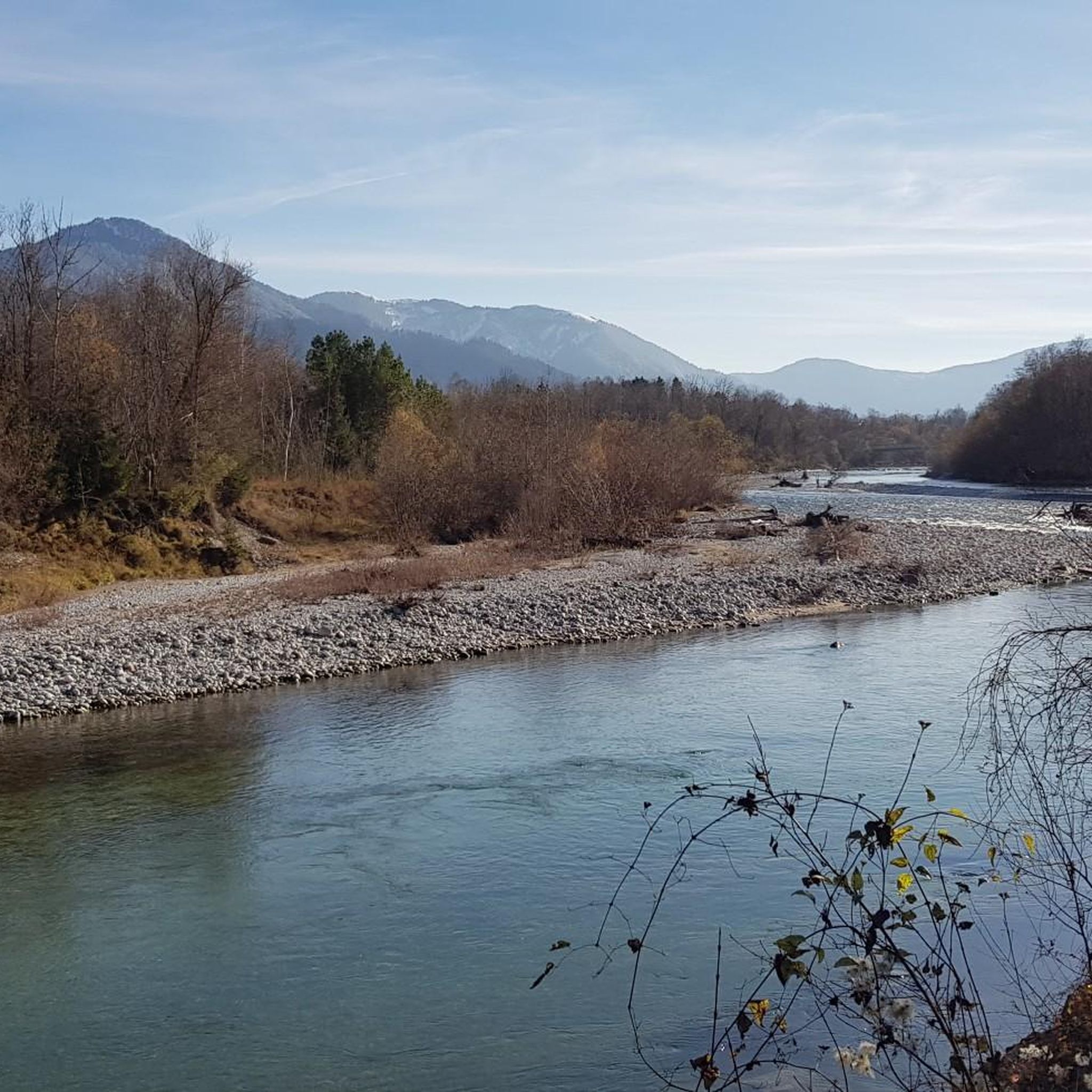
Great cycle path along forests, rocks, through tunnels and along the Isar! Highly recommended!
0
0

View from the Weißach bridge
0
0
Wonderful view of the Tegernsee and the boat houses
1
0
Frequently Asked Questions
How many gravel bike trails are available around Gaißach?
Gaißach offers a wide variety of gravel biking routes, with over 180 trails recorded on komoot. These routes cater to different skill levels, from leisurely rides along riverbanks to challenging climbs in the foothills of the Bavarian Alps.
What kind of terrain can I expect on gravel bike trails in Gaißach?
The terrain around Gaißach is incredibly diverse, featuring green meadows, dense forests, and paths along the Isar River and its high banks. You'll encounter varied elevations, from the flat Isar valley to hills like Schürfenkopf and Fockenstein, offering both gentle stretches and more challenging climbs and descents. The region also includes the Gaißach Moor nature reserve, adding to the varied landscape.
Are there any easy gravel bike trails suitable for beginners in Gaißach?
Yes, Gaißach offers several easier gravel routes. For instance, the View of the Alps – Isar Cycle Path loop from Bad Tölz is an easy 28.8 km route with minimal elevation gain, perfect for a relaxed ride along the scenic Isar River.
What are some scenic highlights or landmarks I can see along the gravel bike trails?
Many gravel routes in Gaißach offer stunning views and pass by notable landmarks. You can enjoy panoramic vistas like the Great view over the Tegernsee near Kaltenbrunn or the View over Lake Tegernsee and the Bavarian Alps. The historic town of Bad Tölz with its colorful houses and the beautiful Isar River in Bad Tölz are also popular points of interest along many routes.
Are there any family-friendly gravel biking options in Gaißach?
While many routes offer varied terrain, some sections along the Isar Cycle Path are generally flatter and more suitable for families. Look for routes with lower difficulty ratings and less elevation gain for a more relaxed family outing. The region's extensive network allows for customization to find suitable paths.
Can I find loop trails for gravel biking in Gaißach?
Yes, many gravel bike routes around Gaißach are designed as loops, allowing you to start and end at the same point. For example, the View of the Alps – Isar Cycle Path loop from Bad Tölz is a popular circular route. The varied landscape naturally lends itself to creating diverse loop experiences.
What is the best time of year for gravel biking in Gaißach?
Gaißach benefits from a mild climate, making it an attractive location for gravel biking year-round. Spring and autumn offer pleasant temperatures and vibrant scenery, while summer is ideal for longer rides. Even in winter, some trails may be accessible, though conditions can vary, especially at higher elevations.
Are there any places to stop for refreshments or a break along the trails?
Yes, you can find opportunities for refreshments. For example, the Aueralm Alpine Hut and the Riederstein Mountain Inn at the Galaun are popular stops that offer food and drinks, often with great views. The nearby town of Bad Tölz also provides numerous cafes and restaurants.
What do other gravel bikers enjoy most about the trails in Gaißach?
The gravel biking routes in Gaißach are highly rated by the komoot community, with an average score of 4.6 stars from over 500 reviews. Riders frequently praise the diverse landscapes, from river valleys and dense forests to open meadows, and the variety of challenges offered by the terrain, including rewarding climbs and scenic descents.
How long are the gravel bike routes typically in Gaißach?
The length of gravel bike routes in Gaißach varies significantly. You can find shorter rides, such as the Graveling in the Ellbach and Kirchseemoor at 33.5 km, which takes about 2 hours 47 minutes. Longer, more challenging routes like Graveling through the Isarwinkel can be around 54.9 km, requiring several hours to complete.
Is parking available near the gravel bike trails in Gaißach?
Yes, parking is generally available in and around Gaißach, particularly in larger towns like Bad Tölz, which serves as a common starting point for many routes. Specific parking information can often be found on individual route pages on komoot, helping you plan your starting location.
Most popular routes around Gaißach
Most popular attractions around Gaißach

Get inspired with the komoot mobile app


Explore more
Browse the best Gravel rides in other regions.
