The best gravel rides around Höhenkirchen-Siegertsbrunn
4.5
(230)
1,403
riders
151
rides
Gravel biking around Höhenkirchen-Siegertsbrunn offers diverse terrain southeast of Munich, characterized by rural scenery, forests, and fields. The region features numerous unpaved forest roads, providing routes with minimal car traffic. Its proximity to the Bavarian Alpine region also contributes to varied landscapes, including sections along the Isar river. This area provides a mix of challenging ascents and scenic trails suitable for gravel cyclists.
Best gravel bike trails around Höhenkirchen-Siegertsbrunn
- The most popular gravel bike trail is Glonn – Kupferbach Riverside…
Last updated: May 15, 2026
4.8
(6)
29
riders
41.3km
02:18
380m
380m
Moderate gravel ride. Good fitness required. Mostly paved surfaces. Suitable for all skill levels.
5.0
(1)
10
riders
Hard gravel ride. Very good fitness required. Mostly paved surfaces. Suitable for all skill levels.

Sign up for free
4.0
(2)
10
riders
24.5km
01:21
90m
90m
Easy gravel ride. Great for any fitness level. Mostly paved surfaces. Suitable for all skill levels.
4.5
(2)
6
riders
Moderate gravel ride. Good fitness required. Mostly paved surfaces. Suitable for all skill levels.
4
riders
Moderate gravel ride. Good fitness required. Mostly paved surfaces. Suitable for all skill levels.
Get access to more routes and recommendations from other explorers.
Sign up for free
Already have an account?
Our route recommendations are based on thousands of hikes, rides, and runs completed by other people on komoot.
Start today with a free account
Your next adventure awaits.
Login or Signup
Tips from the Community


beautiful view from the sledding hill
0
0

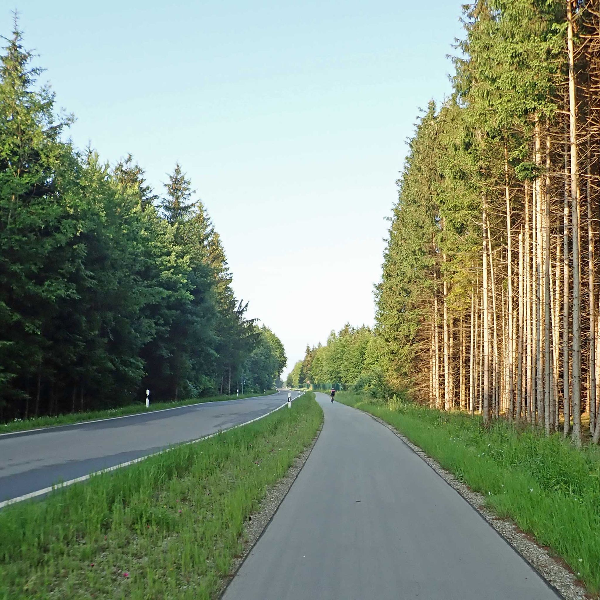
Straight as a wire and deadly boring. A Roman ice cream parlor wouldn't be bad 😋.
1
0
Via Julia cycle path from Günzburg to Salzburg is about 312km long
0
0

But the air has to be quite dry, otherwise you won't see anything.
0
0

Only open Friday, Saturday and Sunday (as of 20.05.2025)
0
0
Frequently Asked Questions
What kind of terrain can I expect on gravel bike trails around Höhenkirchen-Siegertsbrunn?
The region offers diverse terrain, primarily characterized by unpaved forest roads, picturesque rural scenery, and open fields. You'll find sections along the Isar river and through dense woodlands like the Naturpark Perlacher Forst. Some routes also incorporate unique features such as the former take-off and landing strip of Neubiberg Air Base, now a landscape park.
Are there gravel bike routes suitable for beginners in Höhenkirchen-Siegertsbrunn?
Yes, there are several routes suitable for beginners. Out of the 48 available gravel bike tours, 6 are classified as easy, offering a gentle introduction to gravel biking in the area. These routes typically feature less challenging ascents and smoother unpaved paths.
Are there challenging gravel bike routes for experienced riders?
Absolutely. For experienced riders seeking a challenge, there are 9 difficult routes available. These often include more significant elevation gains and longer distances. An example is the View of Aying and the Alps – Mangfall Bend loop from Höhenkirchen-Siegertsbrunn, which covers nearly 64 km with substantial climbing.
What natural highlights can I discover along the gravel bike routes?
You can explore various natural highlights. Many routes pass through the extensive Naturpark Perlacher Forst, offering peaceful rides through dense woodlands. You might also encounter beautiful water features like the Mangfall Rapids at Grub or the serene Kitzlsee. The Gleißental Valley also offers scenic views.
Are there any historical or cultural sights accessible by gravel bike?
Yes, the region offers a mix of natural beauty and cultural points of interest. You could cycle towards Schloss Höhenried, an imposing historical castle with expansive park grounds. For a unique stop, the Kugler Alm in Oberhaching, reputed to be the birthplace of the 'Radler-Maß,' is a welcoming spot for cyclists. Additionally, some routes might pass by the transformed former airfield of Neubiberg, now a landscape park.
Is parking available near the gravel bike trails in Höhenkirchen-Siegertsbrunn?
Yes, parking is generally available in and around Höhenkirchen-Siegertsbrunn, especially at trailheads or designated parking areas within the municipality. Given the rural nature of many routes, you'll often find convenient spots to start your ride.
Can I reach the gravel bike trails using public transport?
Höhenkirchen-Siegertsbrunn is connected to the Munich public transport network, making it possible to reach the area by train or bus. Many routes start directly from the town, allowing for easy access without a car. It's advisable to check local transport schedules and bicycle carriage policies before your trip.
Are there places to stop for refreshments along the routes?
Yes, many routes are designed to pass through or near charming villages and towns where you can find cafes and restaurants. The Kugler Alm, a traditional beer garden, is a notable stop for cyclists. You'll also find opportunities for refreshments in places like Aying or along the Mangfall river, depending on your chosen route.
Are there family-friendly gravel bike routes in the area?
While specific 'family-friendly' designations can vary, the 6 easy-rated routes are generally suitable for families with older children or those looking for a less strenuous ride. These routes often stick to well-maintained forest paths and quieter rural roads, minimizing traffic exposure.
Can I find circular gravel bike routes around Höhenkirchen-Siegertsbrunn?
Yes, the majority of gravel bike routes in the area are designed as circular loops, allowing you to start and end at the same point. For example, the Hofoldinger Forest Road – Forest Path loop from Höhenkirchen-Siegertsbrunn is a moderate circular route that takes you through scenic forest paths.
What is the best time of year for gravel biking in Höhenkirchen-Siegertsbrunn?
The best time for gravel biking is typically from spring through autumn (April to October). During these months, the weather is generally mild, and the trails are dry and well-maintained. While winter riding is possible, conditions can be challenging due to snow and ice, especially on unpaved sections.
What do other gravel bikers enjoy most about the trails in Höhenkirchen-Siegertsbrunn?
The area is highly rated by the komoot community, with an average score of 4.6 stars from over 400 reviews. Reviewers often praise the diverse terrain, the peaceful unpaved forest roads with minimal car traffic, and the picturesque rural scenery that offers a true escape into nature.
Most popular routes around Höhenkirchen-Siegertsbrunn
Most popular attractions around Höhenkirchen-Siegertsbrunn

Get inspired with the komoot mobile app


Explore more
Browse the best Gravel rides in other regions.
