The best gravel rides around Steinau an der Straße
4.5
(10)
167
riders
80
rides
Gravel biking around Steinau an der Straße offers diverse terrain situated between the Spessart and Vogelsberg mountains. The region features rolling hills, extensive forests, and the scenic Kinzig Valley, providing varied landscapes for cyclists. Former railway lines, such as sections of the Vulkanradweg, contribute to a network of paths suitable for gravel bikes, often with moderate gradients. This area provides a mix of challenging climbs and more accessible routes through natural and historical settings.
Best gravel bike trails around Steinau…
Last updated: August 13, 2026
12
riders
52.1km
03:23
890m
890m
Hard gravel ride. Very good fitness required. Mostly paved surfaces. Suitable for all skill levels.
5.0
(1)
9
riders
50.2km
03:20
860m
860m
Hard gravel ride. Very good fitness required. You may need to push your bike for some segments of this route.

Sign up for free
5.0
(1)
7
riders
65.0km
04:16
1,060m
1,060m
Hard gravel ride. Very good fitness required. You may need to push your bike for some segments of this route.
9
riders
43.6km
02:31
460m
460m
Hard gravel ride. Very good fitness required. Mostly paved surfaces. Suitable for all skill levels.
4
riders
Hard gravel ride. Very good fitness required. Mostly paved surfaces. Suitable for all skill levels.
Get access to more routes and recommendations from other explorers.
Sign up for free
Already have an account?
Our route recommendations are based on thousands of hikes, rides, and runs completed by other people on komoot.
Start today with a free account
Your next adventure awaits.
Login or Signup
Popular around Steinau an der Straße
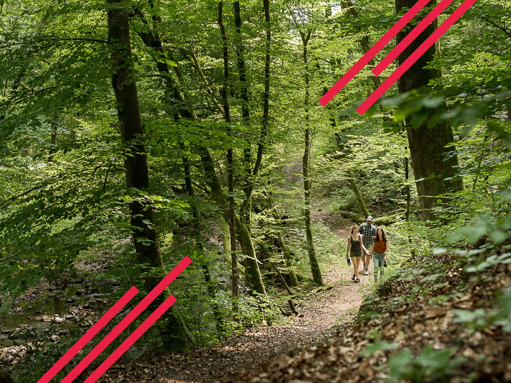
Relaxed hiking in the Spessart – short trails of discovery
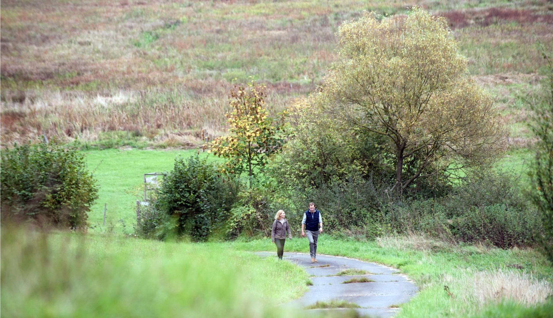
Pleasure hiking in the Spessart: trails that taste as good as they look

Onto the train, out into the snow – winter hiking for all ages in the Rhine-Main
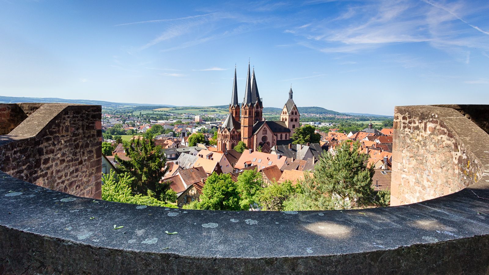
On the Way of St. James through Hesse – from the Fulda to the Main
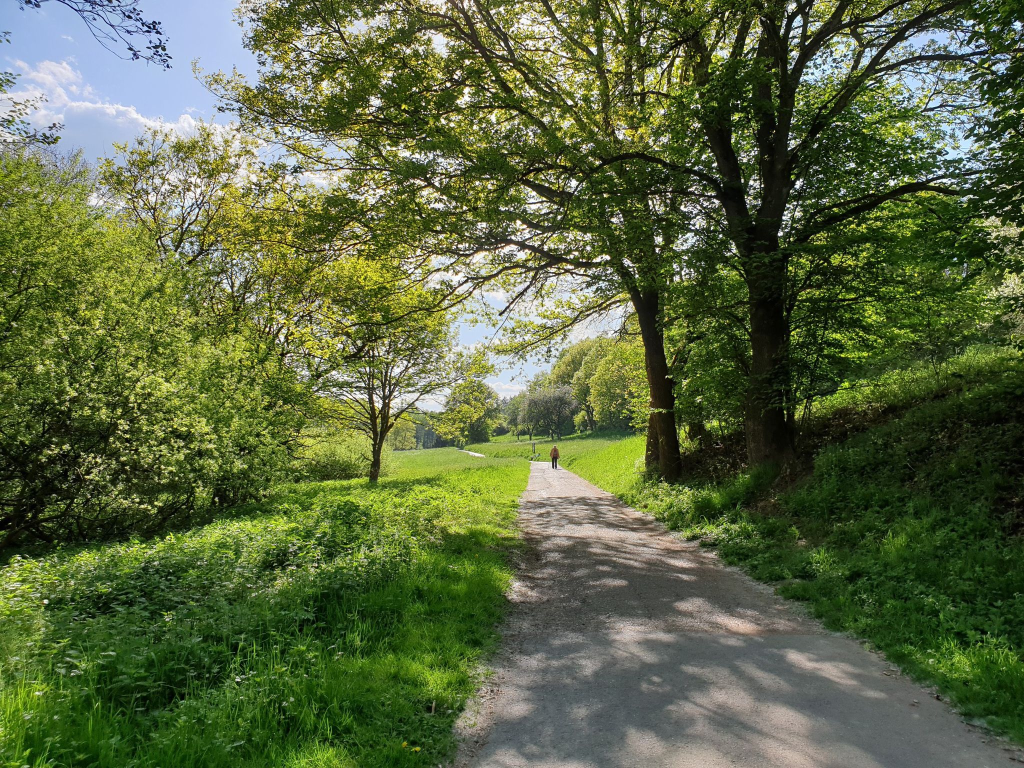
Culture, nature and good food in Hessen – gourmet Tours in the RMV region
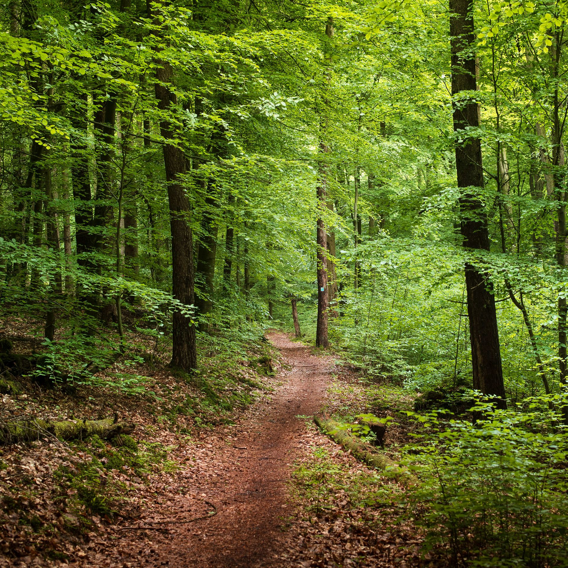
Endless forests, flowing trails – MTB in Germany’s Spessart region
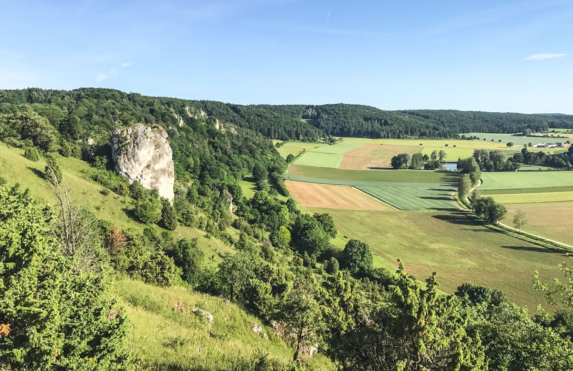
Between Altmühltal & Spruce Mountains – hiking in Franconia
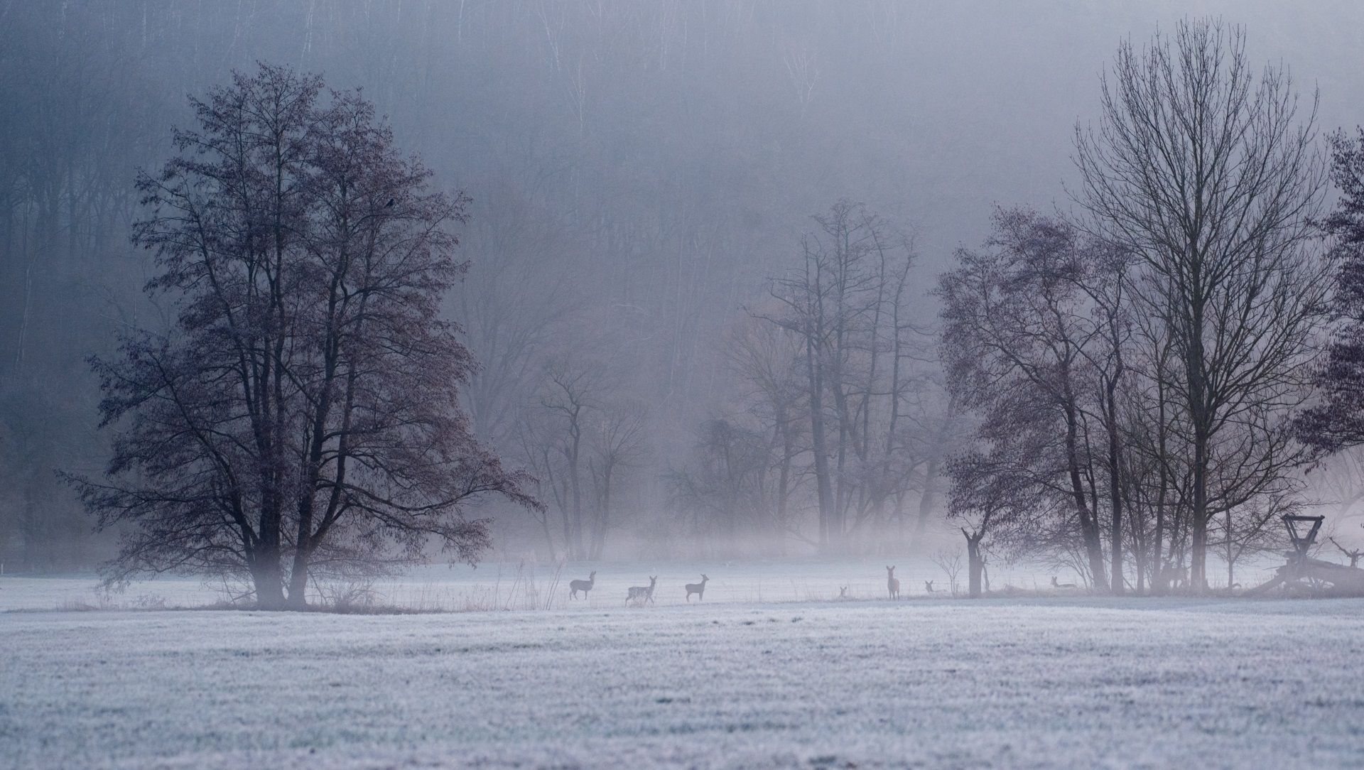
Die schönsten Winterwanderungen im Spessart
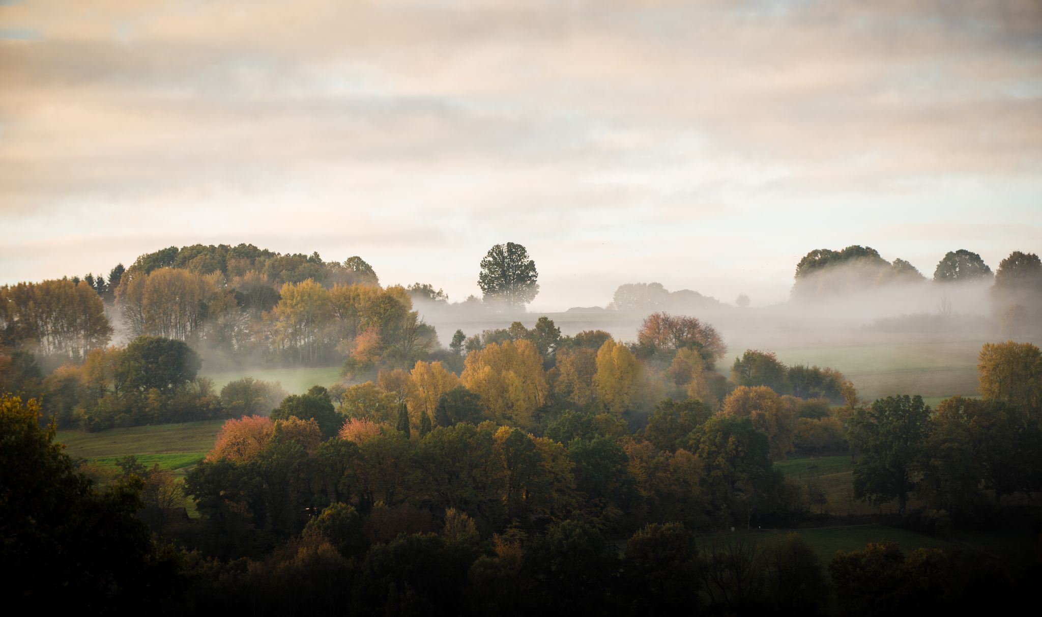
Die schönsten Herbstwanderungen im Spessart
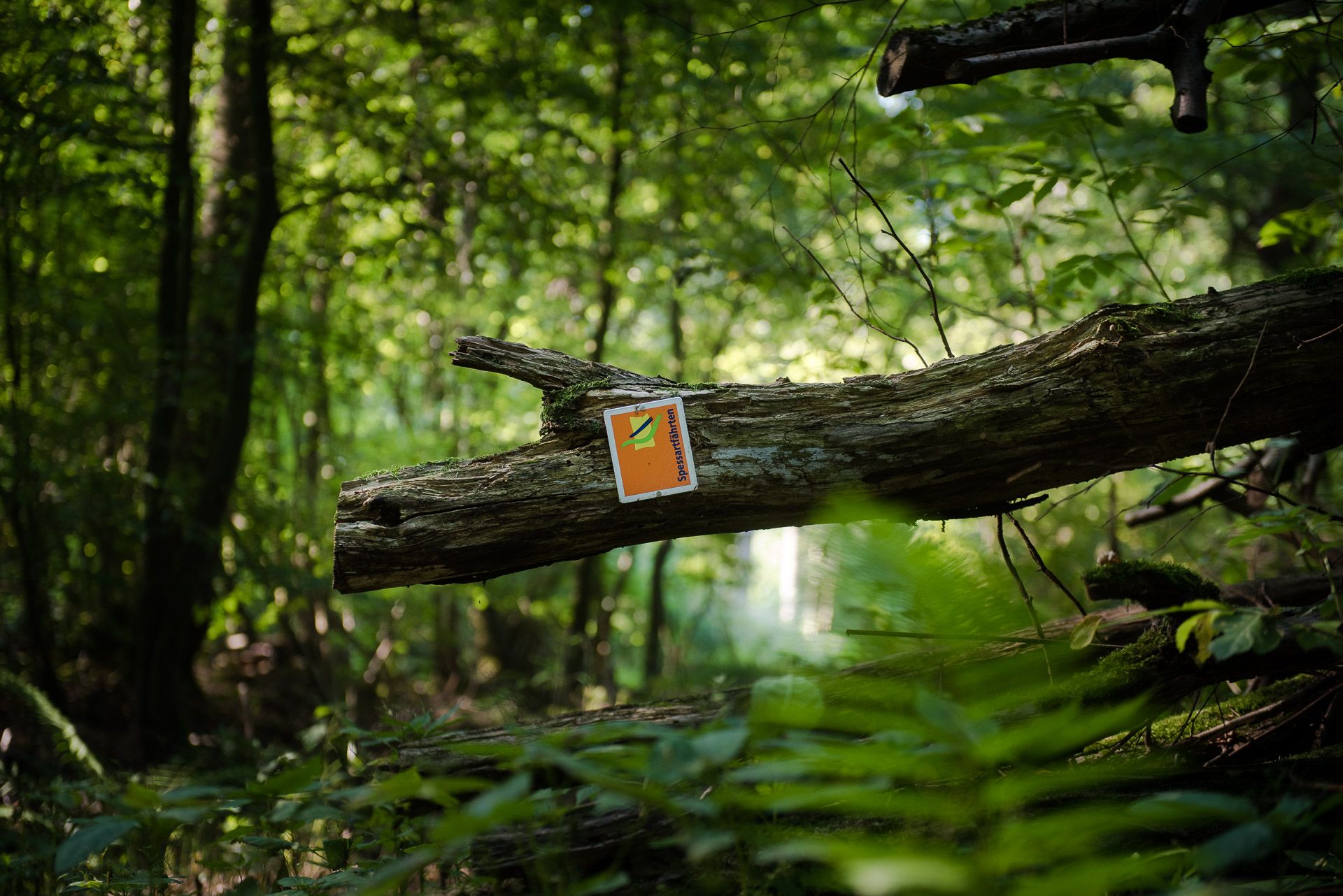
Die Spessartfährten: Sanfte Tageswanderungen durch den hessischen Spessart
Other adventures around Steinau an der Straße


Tips from the Community

When it's dry, it's no problem to cycle the path.
1
0
There is a good cycle path here. I personally prefer the southern cycle path along the reservoir.
3
0

The Kinzig is a river approximately 86 kilometers long. It rises in Sterbfritz, flows southwest through the Main-Kinzig district of Hesse, and flows into the Main from the right in Hanau. The Kinzig is a second-order river in low mountain ranges. It overcomes an elevation of 301 meters and has a bed gradient of 3.5 per thousand. The Kinzig's catchment area covers 1,058 square kilometers, and the calculated mean discharge (MQ) at the mouth of the Kinzig is 10.97 cubic meters per second. The Kinzig was first documented in 796 as "iuxta fluvium Kincihen." In 815, the name was written as "Chinzicha," around 900 as "Kincicha"/"Kinzicham," in 1364 as "Kinzige," in 1584 as "Kintzig," in 1607 as "Bintz," in 1681 as "Kintz," in 1716 as "Kins," in 1769 as "Kinzing," and in 1802 as "Kinzig." In the river's headwaters, there was the now-defunct village of Kinzig, mentioned in 815 as "Chirizichheimero." The village and river were often confused by monastery scribes at that time with "Chizzicha" (now Bad Kissingen), both of which were described as being located in the Saalegau. The name presumably derives from the ancient Celtic *ku̯anti̯o- meaning "flat hill, valley." The name was therefore derived from the mountainous region from which the Kinzig flows. Source: Wikipedia
2
0
The Kinzig is a river approximately 86 kilometers long. It rises in Sterbfritz, flows southwest through the Main-Kinzig district of Hesse, and flows into the Main from the right in Hanau. The Kinzig is a second-order river in low mountain ranges. It overcomes an elevation of 301 meters and has a bed gradient of 3.5 per thousand. The Kinzig's catchment area covers 1,058 square kilometers, and the calculated mean discharge (MQ) at the mouth of the Kinzig is 10.97 cubic meters per second. The Kinzig was first documented in 796 as "iuxta fluvium Kincihen." In 815, the name was written as "Chinzicha," around 900 as "Kincicha"/"Kinzicham," in 1364 as "Kinzige," in 1584 as "Kintzig," in 1607 as "Bintz," in 1681 as "Kintz," in 1716 as "Kins," in 1769 as "Kinzing," and in 1802 as "Kinzig." In the river's headwaters, there was the now-defunct village of Kinzig, mentioned in 815 as "Chirizichheimero." The village and river were often confused by monastery scribes at that time with "Chizzicha" (now Bad Kissingen), both of which were described as being located in the Saalegau. The name presumably derives from the ancient Celtic *ku̯anti̯o- meaning "flat hill, valley." The name was therefore derived from the mountainous region from which the Kinzig flows. Source: Wikipedia
1
0
The Kinzig is a river approximately 86 kilometers long. It rises in Sterbfritz, flows southwest through the Main-Kinzig district of Hesse, and flows into the Main from the right in Hanau. The Kinzig is a second-order river in low mountain ranges. It overcomes an elevation of 301 meters and has a bed gradient of 3.5 per thousand. The Kinzig's catchment area covers 1,058 square kilometers, and the calculated mean discharge (MQ) at the mouth of the Kinzig is 10.97 cubic meters per second. The Kinzig was first documented in 796 as "iuxta fluvium Kincihen." In 815, the name was written as "Chinzicha," around 900 as "Kincicha"/"Kinzicham," in 1364 as "Kinzige," in 1584 as "Kintzig," in 1607 as "Bintz," in 1681 as "Kintz," in 1716 as "Kins," in 1769 as "Kinzing," and in 1802 as "Kinzig." In the river's headwaters, there was the now-defunct village of Kinzig, mentioned in 815 as "Chirizichheimero." The village and river were often confused by monastery scribes at that time with "Chizzicha" (now Bad Kissingen), both of which were described as being located in the Saalegau. The name presumably derives from the ancient Celtic *ku̯anti̯o- meaning "flat hill, valley." The name was therefore derived from the mountainous region from which the Kinzig flows. Source: Wikipedia
1
0

Really beautiful at the mouth, rather boring at the wide part
0
0

Beautiful tree, which has been designated a natural monument 🌳👍🏼
0
0
Added to the collection: https://www.komoot.com/de-de/collection/3600632/-naturen-denkmaeler-besondere-baeume-und-weitere-schaetze-der-natur
0
0
Frequently Asked Questions
How many gravel bike trails are available around Steinau an der Straße?
There are over 110 gravel bike trails around Steinau an der Straße, offering a wide range of options for different skill levels and preferences. You'll find everything from moderate routes to more challenging rides through the region's diverse landscapes.
What makes gravel biking in Steinau an der Straße unique?
Gravel biking in Steinau an der Straße is unique due to its location between the Spessart and Vogelsberg mountains, offering varied terrain with rolling hills, extensive forests, and the scenic Kinzig Valley. Many routes utilize former railway lines like the Vulkanradweg and the Rhönexpress Bahn-Radweg, which provide smooth, moderate gradients ideal for gravel bikes.
What do other gravel bikers say about the trails in Steinau an der Straße?
The gravel bike trails around Steinau an der Straße are highly rated by the komoot community, with an average score of 4.6 stars from over 40 reviews. Riders often praise the varied terrain, the natural beauty of the Spessart and Vogelsberg regions, and the well-maintained paths that make for an enjoyable experience.
Are there any family-friendly gravel bike routes in the area?
Yes, for families looking for a more relaxed ride, routes along the Kinzig Valley or sections of converted railway lines like the Rhönexpress Bahn-Radweg are excellent choices. These paths typically feature gentler gradients and scenic surroundings, making them suitable for riders of all ages. The View of the Kinzig Reservoir – Kinzigsee loop from Romsthal is a moderate option that offers beautiful views without extreme difficulty.
Can I bring my dog on the gravel bike trails around Steinau an der Straße?
Many gravel bike trails in the region are suitable for cycling with dogs, especially those that traverse forests and open countryside. Always ensure your dog is well-behaved, on a leash where required, and that you carry enough water for both of you. Be mindful of local regulations, particularly in nature reserves.
What kind of terrain can I expect on the gravel trails?
You can expect a mix of terrain, including compacted gravel paths, forest roads, and some paved sections, especially on converted railway lines. The region's low mountain ranges mean you'll encounter rolling hills and some climbs, but also flatter sections along river valleys like the Kinzig. The Eselsweg – First Trail Section – Sterbfritz Signpost (L3180) loop from Schlüchtern, for example, leads through varied forested areas.
Are there any notable landmarks or attractions along the gravel routes?
Yes, several routes pass by interesting landmarks. You might encounter the historic Kinzig Reservoir, or cycle near the town of Steinau an der Straße itself, known for the Bruder Grimm-Haus and Schloss Steinau. The Three Rivers Viewpoint – Jossa Railway Viaduct loop from Schlüchtern offers scenic views and passes a notable viaduct.
What is the best time of year for gravel biking in Steinau an der Straße?
Spring and autumn are generally considered the best times for gravel biking in Steinau an der Straße. The weather is usually mild, and the landscapes are particularly beautiful with blooming flowers or vibrant fall foliage. Summer can also be pleasant, but be prepared for warmer temperatures, especially in open areas. Winter cycling is possible, but some trails might be muddy or icy.
Are there any circular gravel bike routes available?
Yes, many of the gravel bike trails around Steinau an der Straße are designed as circular routes, allowing you to start and end at the same point. This is convenient for those traveling by car. For instance, the popular Old Basalt Loading Station – Mountain pond loop from Steinau (Straße) is a challenging circular tour.
Where can I find parking for gravel bike trails in Steinau an der Straße?
Parking is generally available in and around Steinau an der Straße, often near trailheads or in town centers. Look for designated parking areas in towns like Steinau or Schlüchtern, which serve as good starting points for many routes. Specific parking information can often be found on individual route descriptions.
Are there any cafes or pubs along the gravel bike routes for a break?
While specific cafes and pubs directly on every trail might vary, the towns and villages along the Kinzig Valley and near popular routes often offer opportunities for refreshments. Steinau an der Straße itself has options, and you might find smaller eateries or traditional pubs in communities like Schlüchtern or Romsthal, which are common starting or passing points for tours.
Are there any permits required for gravel biking in the Spessart region?
Generally, no specific permits are required for gravel biking on public trails in the Spessart region. However, it's always important to respect local regulations, especially when cycling through nature reserves or private land. Stick to marked paths and be mindful of other users and wildlife.
Most popular routes around Steinau an der Straße
Most popular attractions around Steinau an der Straße

Get inspired with the komoot mobile app


Explore more
Browse the best Gravel rides in other regions.
