The best gravel rides around Unterschwaningen
4.5
(127)
728
riders
15
rides
Gravel biking around Unterschwaningen features a landscape characterized by its proximity to the Altmühlsee and Brombachsee, offering routes that often follow lakeside paths and forest trails. The region presents a mix of gentle rolling terrain and moderate climbs, with elevations generally remaining below 200 meters. Riders can expect to navigate through open fields, alongside water bodies, and through wooded sections. The area provides varied surfaces suitable for gravel bikes, from compacted dirt to gravel roads, including segments of the ancient…
Last updated: October 6, 2026
4.3
(15)
79
riders
64.6km
03:19
240m
240m
Moderate gravel ride. Good fitness required. Mostly paved surfaces. Suitable for all skill levels.
4.7
(98)
579
riders
Moderate gravel ride. Good fitness required. Mostly paved surfaces. Suitable for all skill levels.

3.5
(2)
7
riders
29.0km
01:42
190m
190m
Moderate gravel ride. Good fitness required. Mostly paved surfaces. Suitable for all skill levels.
5.0
(1)
9
riders
Moderate gravel ride. Good fitness required. Mostly paved surfaces. Suitable for all skill levels.
7
riders
35.3km
01:51
190m
190m
Moderate gravel ride. Good fitness required. Mostly paved surfaces. Suitable for all skill levels.
Get access to more routes and recommendations from other explorers.
Already have an account?
Our route recommendations are based on thousands of hikes, rides, and runs completed by other people on komoot.
Start today with a free account
Your next adventure awaits.
Popular around Unterschwaningen


Tips from the Community

Simply beautiful place. Especially for sunrise or sunset.
0
0

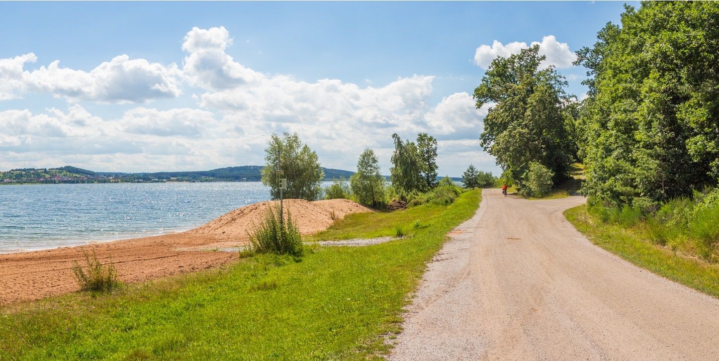
The Großer Brombachsee is a reservoir in the south of Middle Franconia and, together with its two feeder reservoirs, Kleiner Brombachsee and Igelsbachsee, forms the Brombachsee. Inaugurated in 2000, it is the largest reservoir in the Franconian Lake District.
1
0
It serves as the eastern or southeastern entrance to the historic city center and is 300 meters from the Oberes Tor. On the field side of the gate, historical coats of arms are attached – the one on the right belonging to Konrad von Egloffstein and the one on the left to Ludwig von Wertheim.
1
0
The rubble stone wall was started around 1332-1360. Only partially does a street run along the wall on the inside, the largest part is built up on the inside with houses reaching up to the wall.
1
0

Wolfram Eschenbach has apparently done a lot to preserve the city walls and their towers. It's wonderful that, in these modern and fast-moving times, investments are also being made in preserving these special buildings!
0
0
The counterpart to the upper gate is this smaller yet "mighty" lower gate.
0
0

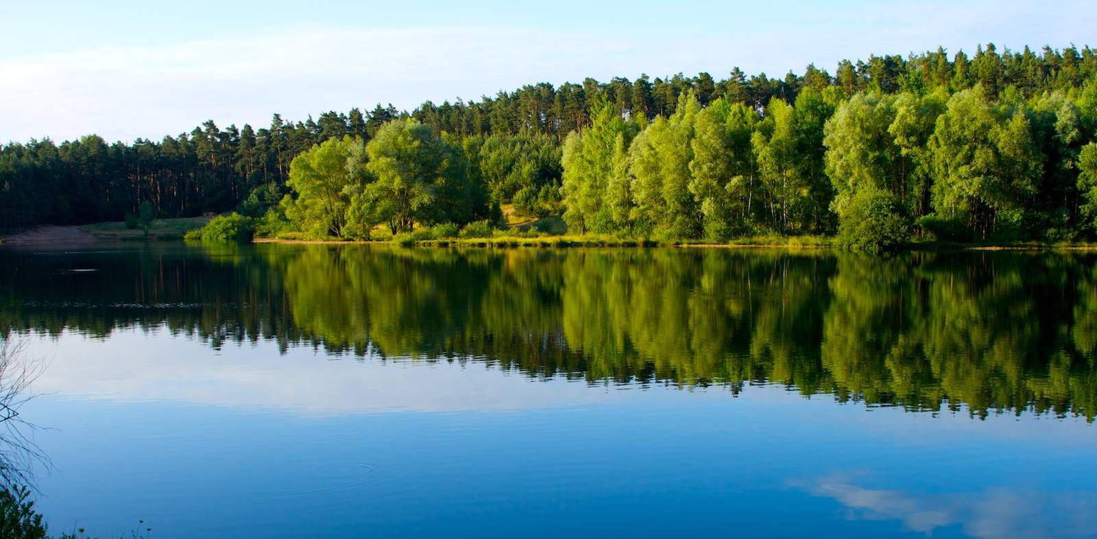
...idyllic, natural, ideal for relaxation
3
0

Frequently Asked Questions
How many gravel bike trails are there in Unterschwaningen?
There are over 20 gravel bike trails around Unterschwaningen, catering to various skill levels. You'll find a good mix of easy, moderate, and some more challenging routes to explore.
What are the typical durations for gravel bike trails in this area?
The gravel bike trails around Unterschwaningen vary in length and duration. Many popular routes, such as the West Shore Path, Lake Altmühl – Altmühlsee loop from Bechhofen an der Heide, can be completed in under 3 hours. Longer routes like the Altmühlsee – Brombachsee Lakeside Trail loop from Muhr am See might take closer to 4 hours, offering extensive riding.
How difficult are the gravel bike trails around Unterschwaningen?
The trails offer a range of difficulties. You'll find 3 easy routes, 15 moderate routes, and 4 more difficult options. The terrain generally features gentle rolling hills with elevations mostly below 200 meters, making many routes accessible for different fitness levels. For example, the Wolframs-Eschenbach Old Town (historic town centre) – View of Wolframs-Eschenbach loop from Muhr am See is a moderate option with manageable climbs.
Are there family-friendly gravel bike routes in Unterschwaningen?
Yes, the region offers several easy and moderate routes that are suitable for families. The landscape, characterized by lakeside paths and forest trails with gentle rolling terrain, provides a pleasant and safe environment for riders of all ages. Look for routes with lower elevation gains and well-maintained surfaces.
Are there many circular gravel bike routes available?
Yes, many of the gravel bike routes in Unterschwaningen are designed as loops, allowing you to start and finish at the same point. Examples include the popular Little Brombach Lake – Bergweg Forest Path loop from Muhr am See, which combines lake views with forest sections, and the View of the Brombachsee – View of Brombachsee loop from Unterwurmbach.
When is the best time of year to go gravel biking in Unterschwaningen?
The best time for gravel biking in Unterschwaningen is typically from spring through autumn. During these seasons, the weather is generally mild, and the trails, especially those along the lakes and through forests, are in optimal condition. While winter riding is possible, be prepared for colder temperatures and potentially muddy or icy sections.
What interesting sights or landmarks can I find along the gravel bike trails?
The routes often pass by beautiful natural and historical landmarks. You can explore the Altmühlsee Surf Center, the historic town of Ornbau with its stone bridge, or the Gunzenhausen Market Square and Bell Tower. For natural beauty, consider visiting the Observation Tower on the Bird Island in Altmühlsee or the impressive Hesselberg Summit.
Are there places to stop for refreshments along the routes?
Given the proximity to the Altmühlsee and Brombachsee, many routes pass through or near towns and villages where you can find cafes, restaurants, and beer gardens. Lakeside paths often have kiosks or eateries, especially during warmer months, perfect for a break and a snack.
What do other gravel bikers enjoy the most about gravel biking in Unterschwaningen?
The area is highly rated by the komoot community, with an average score of 4.7 stars from over 80 reviews. Reviewers often praise the varied terrain, the extensive lakeside riding, and the well-maintained forest paths that characterize the region. The combination of natural beauty and diverse route options is frequently highlighted.
Where can I park when gravel biking in Unterschwaningen?
Parking is generally available at various starting points for the gravel bike routes, particularly near the larger lakes like Altmühlsee and Brombachsee, and in the surrounding towns and villages. Look for designated parking areas at popular access points or near public facilities.
How accessible are the trailheads, especially by public transport?
Many trailheads are located in or near towns such as Muhr am See and Bechhofen an der Heide, which often have public transport connections. While specific public transport options can vary, the region is generally well-connected, making it possible to reach starting points without a car. It's advisable to check local bus or train schedules for the most up-to-date information.
Most popular routes around Unterschwaningen
Most popular attractions around Unterschwaningen

Get inspired with the komoot mobile app


Explore more
Browse the best Gravel rides in other regions.
