The best gravel rides around Nordendorf
4.6
(20)
146
riders
40
rides
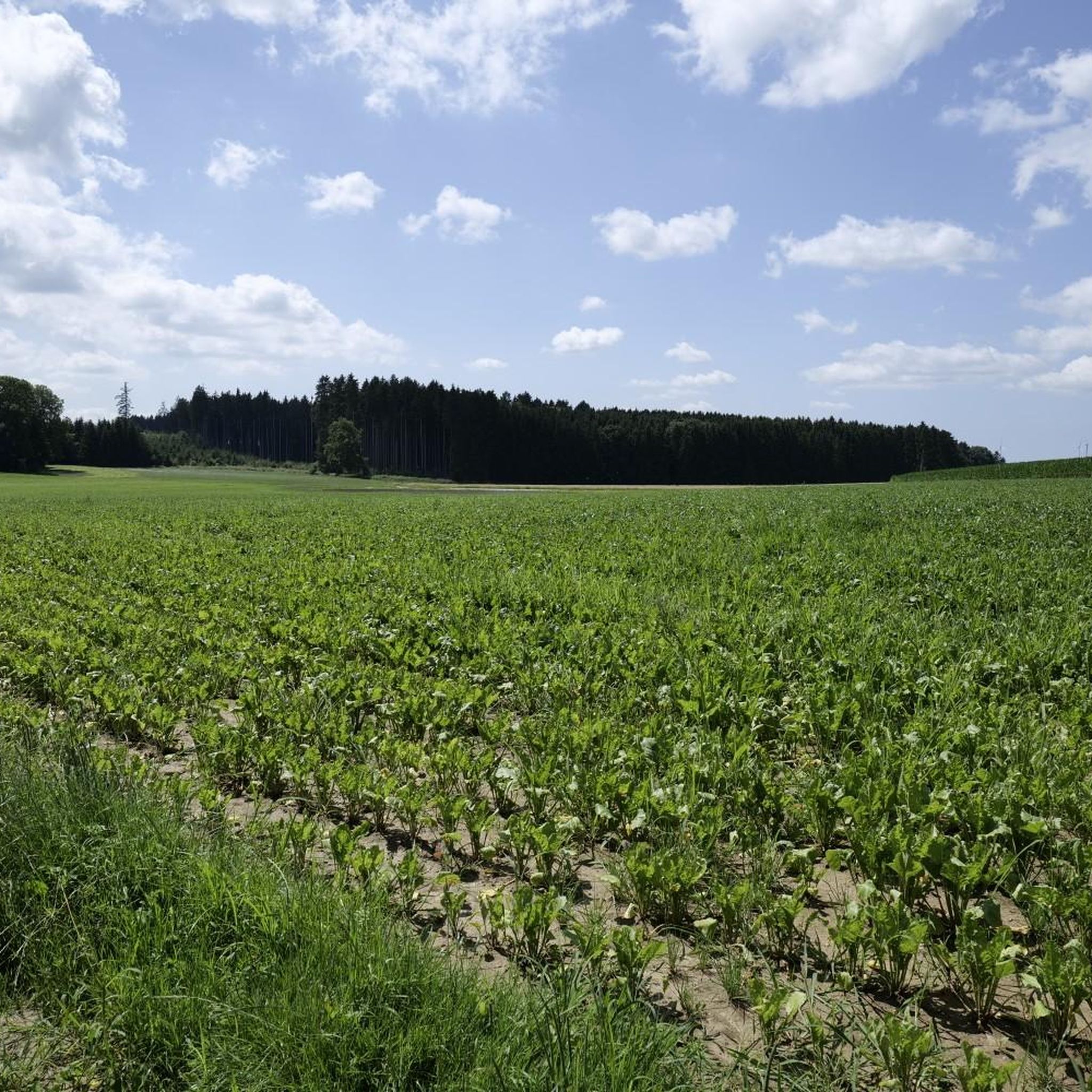
Gravel biking around Nordendorf offers diverse landscapes characterized by rolling hills, open fields, and the prominent Lech River. The region provides varied terrain, from riverside gravel paths to forest roads within proximity to the Augsburg Western Forests Nature Park. These natural features create a network of routes suitable for different skill levels. The area's topography includes gentle elevations and extensive unpaved sections ideal for gravel cycling.
Best gravel bike trails around Nordendorf
- The most popular gravel bike trail is Gravel banks along the Lech – View of the Lech River loop from Meitingen, an easy 14.2 miles (22.8 km) trail that takes 1 hour 25 minutes to complete. This route offers direct access to the Lech River's gravel banks.
- Another top favourite among local gravel bikers is River Lech – Lech River in Gersthofen loop from Westendorf, a moderate 30.1 miles (48.4 km) path. This route follows the Lech River, providing a mix of riverside and open field terrain.
- Local gravel bikers also love the Lerchenfeld Chapel – At the Three Stones loop from Meitingen, a 22.9 miles (36.9 km) trail leading through varied landscapes with some challenging sections, often completed in about 3 hours 8 minutes.
- Gravel biking around Nordendorf is defined by the Lech River, rolling hills, and picturesque fields. The network offers options for different ability levels, from easy riverside paths to more challenging routes with greater elevation gain.
- The routes in Nordendorf are highly rated by the komoot community with an average score of 4.4 stars from over 23 reviews. More than 160 gravel bikers have used komoot to explore Nordendorf's varied terrain.
Last updated: May 21, 2026
5.0
(1)
7
riders
47.7km
03:02
210m
210m
Hard gravel ride. Good fitness required. You may need to push your bike for some segments of this route.
6
riders
36.8km
02:20
330m
330m
Hard gravel ride. Good fitness required. You may need to push your bike for some segments of this route.

Sign up for free
5
riders
46.2km
02:42
100m
100m
Moderate gravel ride. Good fitness required. Mostly paved surfaces. Suitable for all skill levels.
3.0
(1)
10
riders
44.6km
02:27
90m
90m
Moderate gravel ride. Good fitness required. Mostly paved surfaces. Suitable for all skill levels.
5.0
(1)
6
riders
65.1km
03:36
380m
380m
Moderate gravel ride. Good fitness required. Mostly paved surfaces. Suitable for all skill levels.
Get access to more routes and recommendations from other explorers.
Sign up for free
Already have an account?
Our route recommendations are based on thousands of hikes, rides, and runs completed by other people on komoot.
Start today with a free account
Your next adventure awaits.
Login or Signup
Tips from the Community

Depending on the water flow in the Lech, north of the weir in Gersthofen, the "river" is only fed by the water flowing through the fish ladder, with the water being primarily diverted into the Lech canal.😒
0
0

Sallmannshofen is four, five houses, but still a chapel
0
0

The Lech is a right tributary of the Danube. The 256 km long river originates in Vorarlberg in the Hochtannberg region at the confluence of the Spullerbach and Formarinbach streams in the Tannläger valley. It flows through Tyrol and southern Bavaria, where it empties into the Danube. Shortly before the Austrian-German border, it joins the Vils river, forms the artificial Lechfall near Füssen, and crosses Swabia and Upper Bavaria on its way. The largest cities on the Lech are Landsberg and Augsburg; in this city, it receives its largest tributary, the Wertach. The river empties into the Danube near Marxheim. Source: Wikipedia
1
0
The Lech is a right tributary of the Danube. The 256 km long river originates in Vorarlberg in the Hochtannberg region at the confluence of the Spullerbach and Formarinbach streams in the Tannläger valley. It flows through Tyrol and southern Bavaria, where it empties into the Danube. Shortly before the Austrian-German border, it joins the Vils river, forms the artificial Lechfall near Füssen, and crosses Swabia and Upper Bavaria on its way. The largest cities on the Lech are Landsberg and Augsburg; in this city, it receives its largest tributary, the Wertach. The river empties into the Danube near Marxheim. Source: Wikipedia
1
0
The Lech is a right tributary of the Danube. The 256 km long river originates in Vorarlberg in the Hochtannberg region at the confluence of the Spullerbach and Formarinbach streams in the Tannläger valley. It flows through Tyrol and southern Bavaria, where it empties into the Danube. Shortly before the Austrian-German border, it joins the Vils river, forms the artificial Lechfall near Füssen, and crosses Swabia and Upper Bavaria on its way. The largest cities on the Lech are Landsberg and Augsburg; in this city, it receives its largest tributary, the Wertach. The river empties into the Danube near Marxheim. Source: Wikipedia
1
0
The Lech is a right tributary of the Danube. The 256 km long river originates in Vorarlberg in the Hochtannberg region at the confluence of the Spullerbach and Formarinbach streams in the Tannläger valley. It flows through Tyrol and southern Bavaria, where it empties into the Danube. Shortly before the Austrian-German border, it joins the Vils river, forms the artificial Lechfall near Füssen, and crosses Swabia and Upper Bavaria on its way. The largest cities on the Lech are Landsberg and Augsburg; in this city, it receives its largest tributary, the Wertach. The river empties into the Danube near Marxheim. Source: Wikipedia
2
0

The paths along the Danube and Lech are wonderful for cycling
0
0

Built in the 14th century as a hilltop castle
0
0
Frequently Asked Questions
How many gravel bike trails are available around Nordendorf?
There are over 45 gravel bike trails around Nordendorf, offering a wide range of options for different skill levels. You'll find everything from easy riverside paths to more challenging routes with greater elevation gain.
What kind of terrain can I expect on gravel bike trails near Nordendorf?
The terrain around Nordendorf is quite varied. You'll encounter rolling hills, picturesque fields, and significant sections along the Lech River with its distinctive gravel banks. The proximity to the Augsburg Western Forests Nature Park also means many routes feature woodland paths and forest roads.
Are there any beginner-friendly gravel bike routes in the Nordendorf area?
Yes, there are several easy routes suitable for beginners. A great option is the Gravel banks along the Lech – View of the Lech River loop from Meitingen, which is an easy 14.2-mile trail offering direct access to the Lech River's gravel banks.
Can I find circular gravel bike routes around Nordendorf?
Absolutely. Many of the gravel bike trails in the region are designed as loops, allowing you to start and end at the same point. For example, the Mähdigraben – on the Lech embankment loop from Nordendorf is a moderate 46.2 km circular route that follows the Lech embankment.
What natural features or landmarks can I see along the gravel bike trails?
Riding around Nordendorf, you'll frequently encounter the beautiful Lech River and its gravel banks. The region is also close to the Augsburg Western Forests Nature Park, offering extensive woodland scenery. Culturally, you might pass historic sites like Kloster Holzen or Thierhaupten Monastery, and the Neptune Sculpture at the Lech Bridge is a notable scenic resting point.
Are there any castles or historic sites accessible from the gravel routes?
Yes, the region boasts several historic sites. You can explore highlights such as Markt Castle (Fugger Castle Markt), Fugger Castle Nordendorf, and the Richen Castle Chapel, many of which are situated along or near the cycling paths.
What do other gravel bikers enjoy most about the trails in Nordendorf?
The area is highly rated by the komoot community, with an average score of 4.4 stars from over 23 reviews. Reviewers often praise the diverse landscapes, from the serene Lech River paths to the quiet forest roads, and the variety of routes suitable for different fitness levels.
Are there any challenging gravel bike routes for experienced riders?
Yes, for those seeking more challenge, routes like the Lerchenfeld Chapel – At the Three Stones loop from Meitingen offer varied landscapes with some challenging sections and greater elevation gain, typically taking over 3 hours to complete.
Is it possible to find places to eat or rest along the gravel bike trails?
While specific cafes directly on every trail aren't listed, the region around Nordendorf and its surrounding villages offer various amenities. You can find huts and shelters like the Naturfreundehaus Vinzenz-Behr-Hütte or the Josefshütte Thierhaupten-Ötz, which can serve as good resting points.
What is the best time of year for gravel biking in Nordendorf?
The region is generally pleasant for gravel biking from spring through autumn. The clear waters of the Lech River offer opportunities for cooling off during warmer months, and the varied landscapes are beautiful as the seasons change. Winter riding is possible but may depend on snow and ice conditions.
Are there any routes that follow the Lech River extensively?
Yes, the Lech River is a central feature for gravel biking here. The River Lech – Lech River in Gersthofen loop from Westendorf is a popular moderate route that follows the Lech River for much of its 30.1 miles, providing a mix of riverside and open field terrain.
Most popular routes around Nordendorf
Most popular attractions around Nordendorf

Get inspired with the komoot mobile app


Explore more
Browse the best Gravel rides in other regions.
