The best gravel rides around Bad Lausick
4.6
(71)
352
riders
37
rides
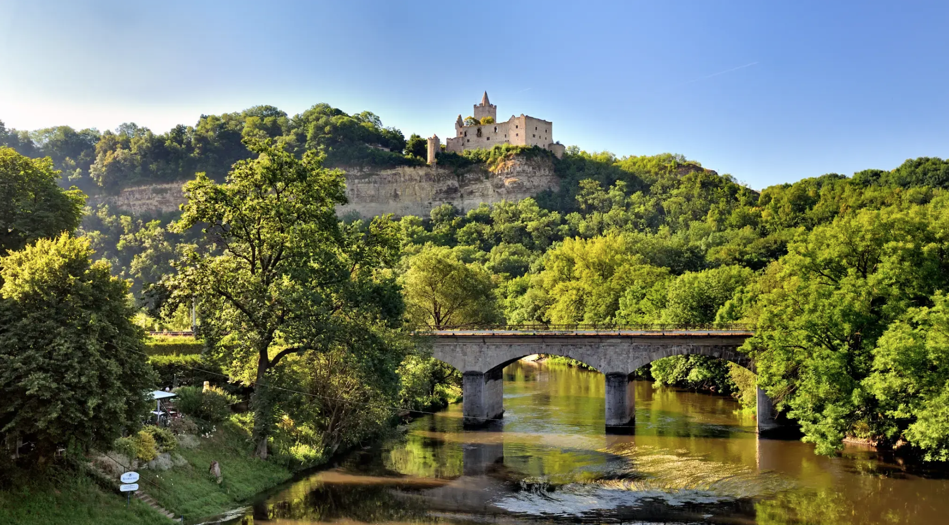
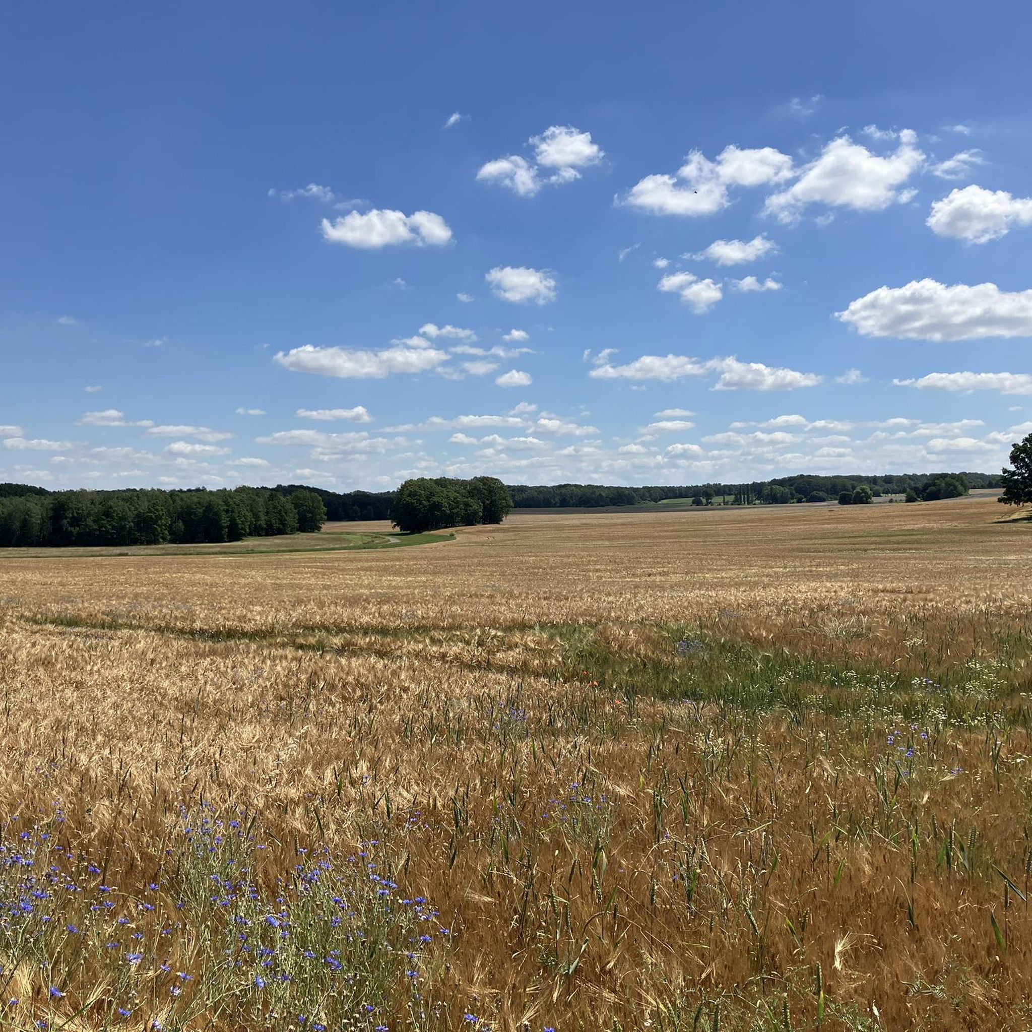
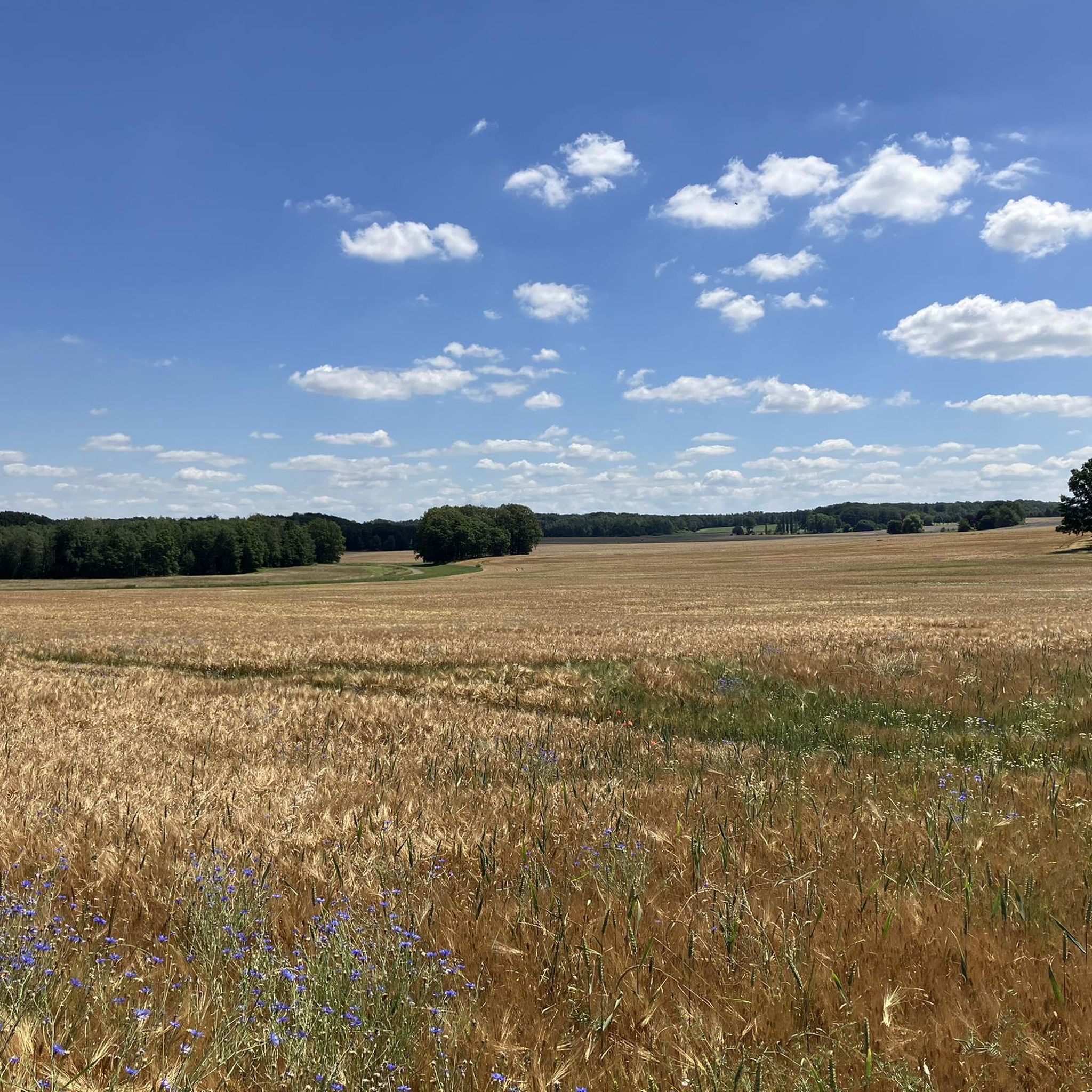
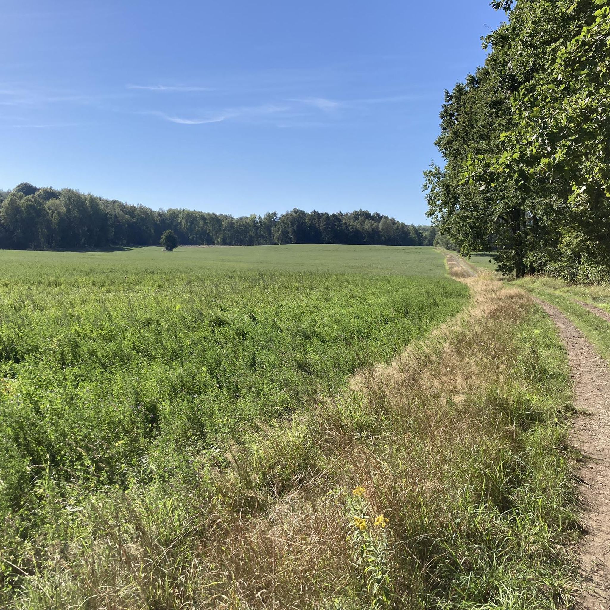
Gravel biking around Bad Lausick offers a diverse landscape characterized by a network of lakes, rivers, and rolling countryside. The region features varied terrain suitable for gravel bikes, including paths along the Mulde River and around several local lakes such as Störmthaler Lake, Lake Markkleeberg, and Bockwitzer Lake. Elevation changes are generally moderate, providing accessible routes for different skill levels. The area also borders the expansive Colditzer and Glastener Forest nature reserve, offering additional forest paths and gentle hills.
Best…
Last updated: November 3, 2026
4.7
(6)
23
riders
25.3km
01:27
150m
150m
Moderate gravel ride. Good fitness required. Mostly paved surfaces.
5.0
(2)
18
riders
49.7km
03:04
430m
430m
Moderate gravel ride. Good fitness required. Mostly paved surfaces.

4.7
(3)
14
riders
Easy gravel ride. Mostly paved surfaces.
4.3
(4)
13
riders
25.7km
01:24
120m
120m
Easy gravel ride. Mostly paved surfaces.
4.3
(4)
16
riders
16.6km
00:54
90m
90m
Easy gravel ride. Mostly paved surfaces.
Get access to more routes and recommendations from other explorers.
Already have an account?
Our route recommendations are based on thousands of hikes, rides, and runs completed by other people on komoot.
Start today with a free account
Your next adventure awaits.
Other adventures around Bad Lausick

Tips from the Community

0
0

The Nimbschen Monastery (Marienthron) is a former Cistercian nunnery, located immediately south of Grimma in the Saxon district of Leipzig on the Mulde river. It existed between 1243 and 1536/42 and, after its dissolution, was part of the property of the Fürstenschule in Grimma or the St. Augustin Gymnasium in Grimma as a state school estate between 1550 and 1948. From the material of the monastery, which fell into disrepair after its dissolution, the new monastery estate was built in 1810, which is now used as a hotel. Next to the monastery, the settlement of Nimbschen was established on the neighboring Klosterholz.
0
0
The places along the Mulde are particularly threatened by floods. During the August 2002 flood, Grimma was one of the most severely affected municipalities in Saxony, with damage totaling 250 million euros. The June 2013 flood also left behind millions in damages. In 2002, the first plans for flood protection, such as those that occur statistically every 100 years, began in Grimma. In total, the Free State of Saxony and the European Union are investing around 60 million euros in flood protection. The new flood protection facility for Grimma is technically and aesthetically very demanding. The goal was to skillfully combine flood protection, monument protection, and urban development. To find a suitable construction variant, the city was rebuilt on a 1:50 scale, and the model was flooded to simulate water currents. An underground sealing wall, reaching twelve meters deep, influences the natural groundwater flow. Eight wells control groundwater communication.
0
0

The Altstadtblick (Old Town View) is one of the most beautiful panoramas in Grimma. The view from the Köhleraussicht (Charcoal Burner's View) in the city forest is particularly impressive. From there, your gaze sweeps across the Mulde river to the historic old town with its red roofs, the Renaissance town hall, the towers of the Frauenkirche (Church of Our Lady) and Grimma Castle. Those who want to explore Grimma on foot can choose the approximately two-hour tour "Grimma von oben" (Grimma from Above). It connects the most beautiful viewpoints, including Köhleraussicht, Hängebrücke (Suspension Bridge) and Tempelberg (Temple Mountain), with impressive views of the old town and the Mulde river.
4
0
The view of the suspension bridge in Grimma is one of the city's most famous photo motifs. The suspension bridge, built in 1924, spans the Mulde river for a length of 80 meters and connects the old town with the city forest. From the bridge, you can enjoy a wide view of the Mulde, the historic city silhouette, and the Gattersburg located above. Schloss Püchau, on the other hand, is located about 10 kilometers northwest of Grimma in the village of Püchau, directly on the Mulde river. The historic castle with its park is situated in a quiet river landscape and also offers beautiful views of the Mulde valley. However, it is not visible from the Grimma suspension bridge, as the two locations are several kilometers apart.
4
0


There is also a swimming area here - at your own risk!
0
0
The monastery tavern was formerly the monastery's blacksmith shop
1
0
Frequently Asked Questions
What are the difficulty levels of gravel bike trails around Bad Lausick?
The gravel biking routes around Bad Lausick offer a range of difficulties. You'll find a good mix of easy, moderate, and difficult trails. For instance, there are 16 easy routes, 26 moderate routes, and 10 more challenging options, catering to various skill levels.
Are there beginner-friendly gravel bike trails in Bad Lausick?
Yes, Bad Lausick has several beginner-friendly gravel bike trails. Many routes feature gentle climbs and flat sections, particularly those around the lakes. An easy option is the View of Bockwitzer Lake – View of Bockwitzer Lake loop from Eula, which is 25.7 km (16 miles) long and has minimal elevation gain.
Where can I find more challenging gravel routes near Bad Lausick?
For more challenging gravel routes, consider trails that cover longer distances or have more varied terrain. The region offers 10 routes classified as difficult. A notable option is the View of Störmthaler Lake – Lake Markkleeberg loop from Borna (b Leipzig), which is 77.2 km (47.9 miles) long and features extensive lake views.
What is the typical length of gravel bike trails around Bad Lausick?
Gravel bike trails around Bad Lausick vary significantly in length. You can find shorter loops, such as the Mulde Cycle Path – Mulde River near Kössern loop from Großbardau at 25.2 km (15.7 miles), or much longer rides like the View of Störmthaler Lake – Lake Markkleeberg loop from Borna (b Leipzig), which spans 77.2 km (47.9 miles).
Are there family-friendly gravel biking options in Bad Lausick?
Many of the easier and moderate routes around Bad Lausick are suitable for families, especially those that stick to the flatter sections along the lakes and rivers. The region's moderate elevation changes make it accessible for various ages and fitness levels. The View of Bockwitzer Lake – Beach at Lake Bockwitz loop from Neukirchen-Wyhra is a good example, being 18.8 km (11.7 miles) long and rated easy.
When is the best time of year to go gravel biking in Bad Lausick?
The best time for gravel biking in Bad Lausick is generally from spring through autumn (April to October). During these months, the weather is usually mild, and the trails are in good condition. The changing foliage in autumn can also offer particularly scenic rides.
Can I go gravel biking in Bad Lausick during winter?
Gravel biking in Bad Lausick during winter is possible, but conditions can vary. Trails might be muddy, icy, or covered in snow, especially after precipitation. It's advisable to check local weather and trail conditions before heading out and to use appropriate tires and gear for winter riding.
Are most gravel bike trails around Bad Lausick circular routes?
Yes, many of the gravel bike trails around Bad Lausick are designed as circular routes, allowing you to start and end at the same point. This is convenient for planning your ride, especially if you're driving to a trailhead. Examples include the Grimma Suspension Bridge – Old Town View loop from Grimma and the View of Bockwitzer Lake – View of Bockwitzer Lake loop from Eula.
What can I see along the gravel bike trails around Bad Lausick?
The gravel bike trails in Bad Lausick offer diverse scenery, including paths along the Mulde River and around lakes like Störmthaler Lake and Lake Markkleeberg. You can also explore nearby natural and historical attractions. Consider visiting the Prinzengrotte or the Entrance to Schamoniental, which are highlights in the wider region.
Are there any interesting landmarks or natural features to explore near the trails?
Beyond the trails themselves, the Bad Lausick area is rich in natural features. You can find various caves and gorges nearby. Highlights include the Schwemmteich Caves and the Gleisbergbruch Viewpoint, offering unique sights to complement your ride.
Are there gravel bike routes in Bad Lausick with cafes or refreshment stops?
While specific cafes aren't listed for every route, many trails pass through or near towns and villages where you can find refreshment stops. Routes that go through historic towns like Grimma, such as the Grimma Suspension Bridge – Old Town View loop from Grimma, are likely to have options for food and drink.
Is it possible to spot wildlife while gravel biking around Bad Lausick?
Given the region's natural landscape of river valleys, lakes, and open countryside, there are good opportunities for wildlife spotting. Keep an eye out for various bird species, small mammals, and other local fauna, especially during quieter times of day or on less frequented paths.
Most popular routes around Bad Lausick
Most popular attractions around Bad Lausick

Get inspired with the komoot mobile app


Explore more
Browse the best Gravel rides in other regions.
